File:MaoguanheLocationMap.jpg
From HighestBridges.com
Revision as of 22:46, 24 October 2024 by Sakowski (talk | contribs) (Sakowski uploaded a new version of File:MaoguanheLocationMap.jpg)
Size of this preview: 633 × 599 pixels. Other resolutions: 253 × 240 pixels | 3,379 × 3,200 pixels.
Original file (3,379 × 3,200 pixels, file size: 1.05 MB, MIME type: image/jpeg)
Summary
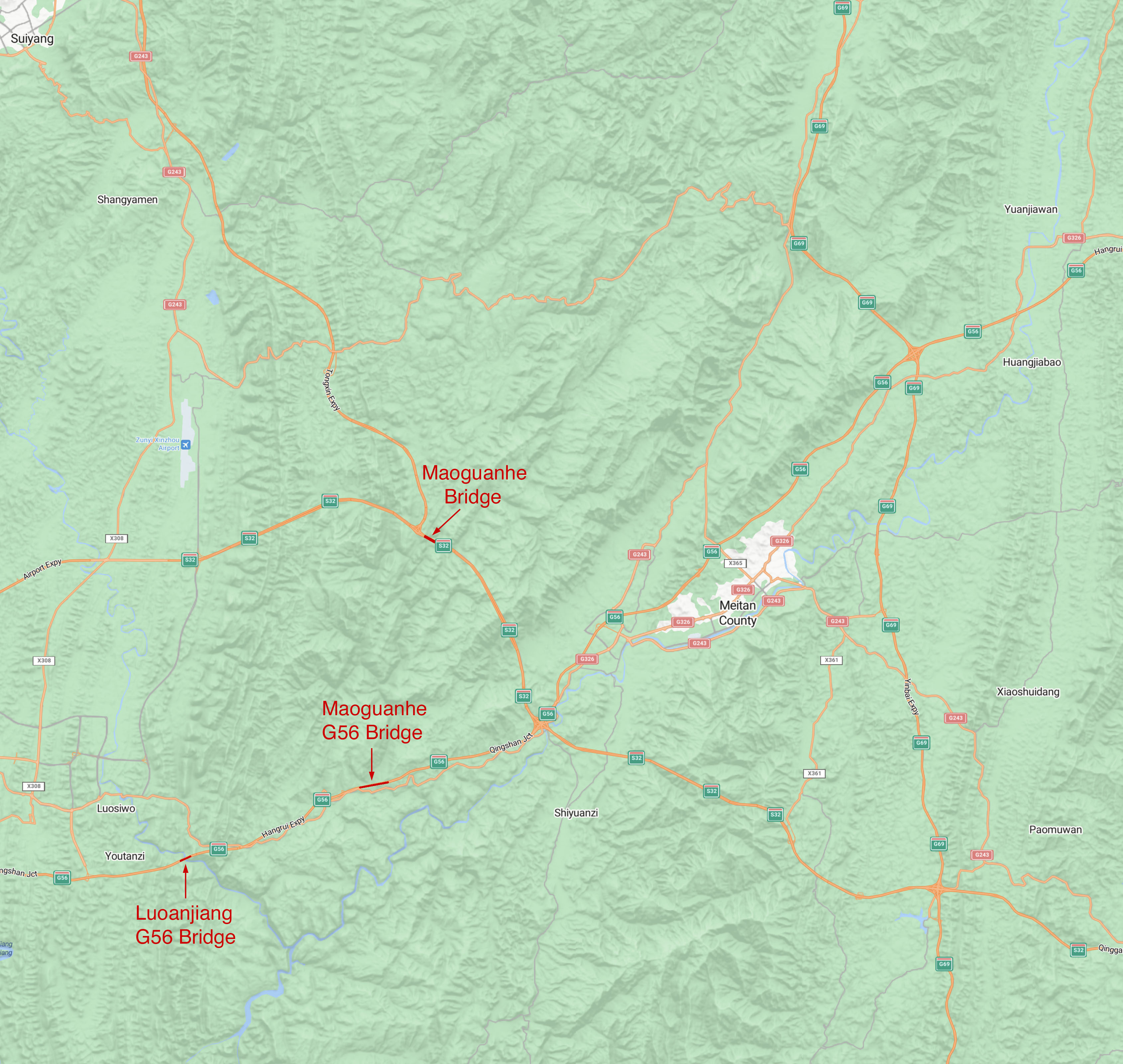
Maoguanhe Location map.
File history
Click on a date/time to view the file as it appeared at that time.
| Date/Time | Thumbnail | Dimensions | User | Comment | |
|---|---|---|---|---|---|
| current | 22:50, 24 October 2024 | | 3,379 × 3,200 (1.05 MB) | Sakowski (talk | contribs) | Maoguanhe Bridge location map. |
You cannot overwrite this file.
File usage
The following 3 pages use this file: