File:DimuheSatelliteWmeasure.jpg
From HighestBridges.com
Jump to navigationJump to search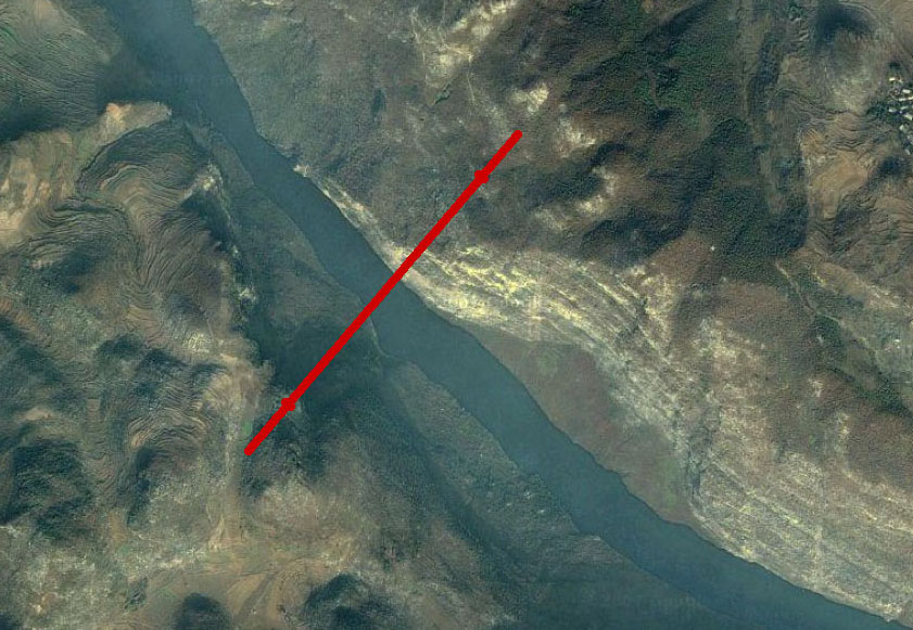
Size of this preview: 800 × 553 pixels. Other resolutions: 320 × 221 pixels | 841 × 581 pixels.
Original file (841 × 581 pixels, file size: 156 KB, MIME type: image/jpeg)
Dimuhe Satellite image with approximate location of bridge crossing.
File history
Click on a date/time to view the file as it appeared at that time.
| Date/Time | Thumbnail | Dimensions | User | Comment | |
|---|---|---|---|---|---|
| current | 20:28, 30 October 2011 | | 841 × 581 (156 KB) | Sakowski (talk | contribs) | Dimuhe Bridge satellite view with approximate location of crossing. |
| 20:22, 30 October 2011 | 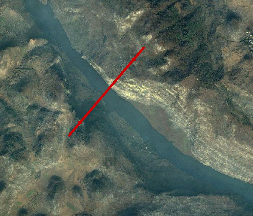 | 842 × 719 (189 KB) | Sakowski (talk | contribs) | Dimuhe Satellite image with approximate location of bridge crossing. |
You cannot overwrite this file.
File usage
There are no pages that use this file.