Baluarte Bridge
Baluarte Bridge
Puente Baluarte
El Palmito, Sinaloa, Mexico
1,280 feet high / 390 meters high
1,706 foot span / 520 meter span
2013
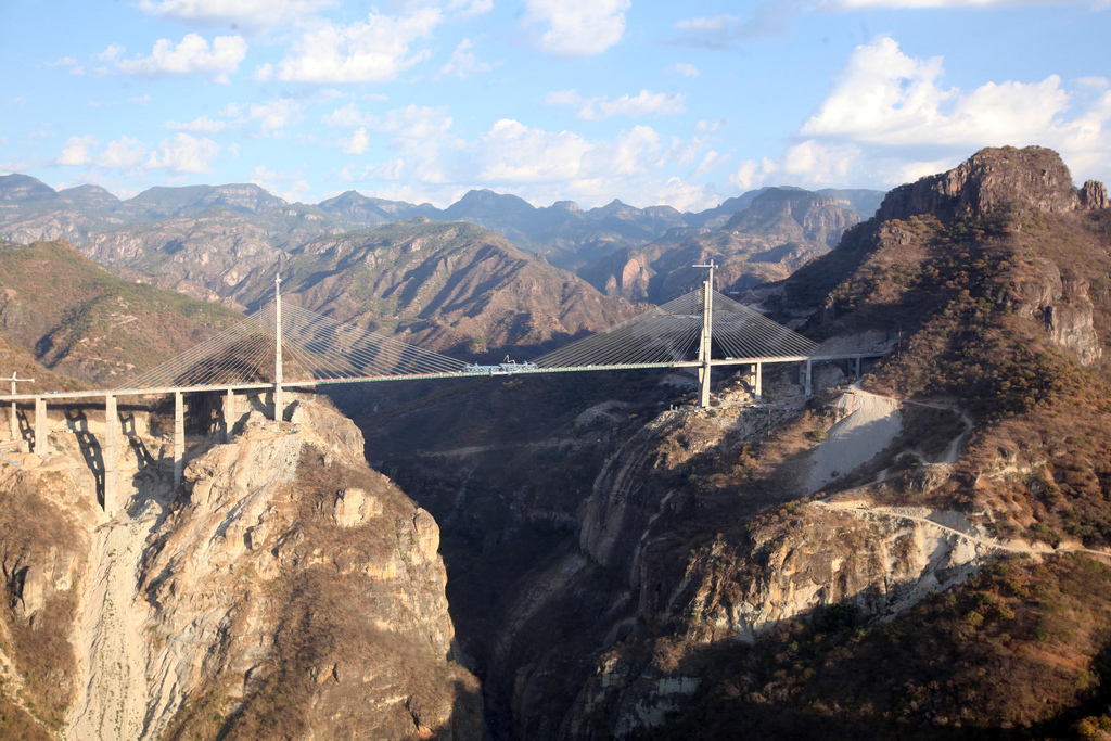
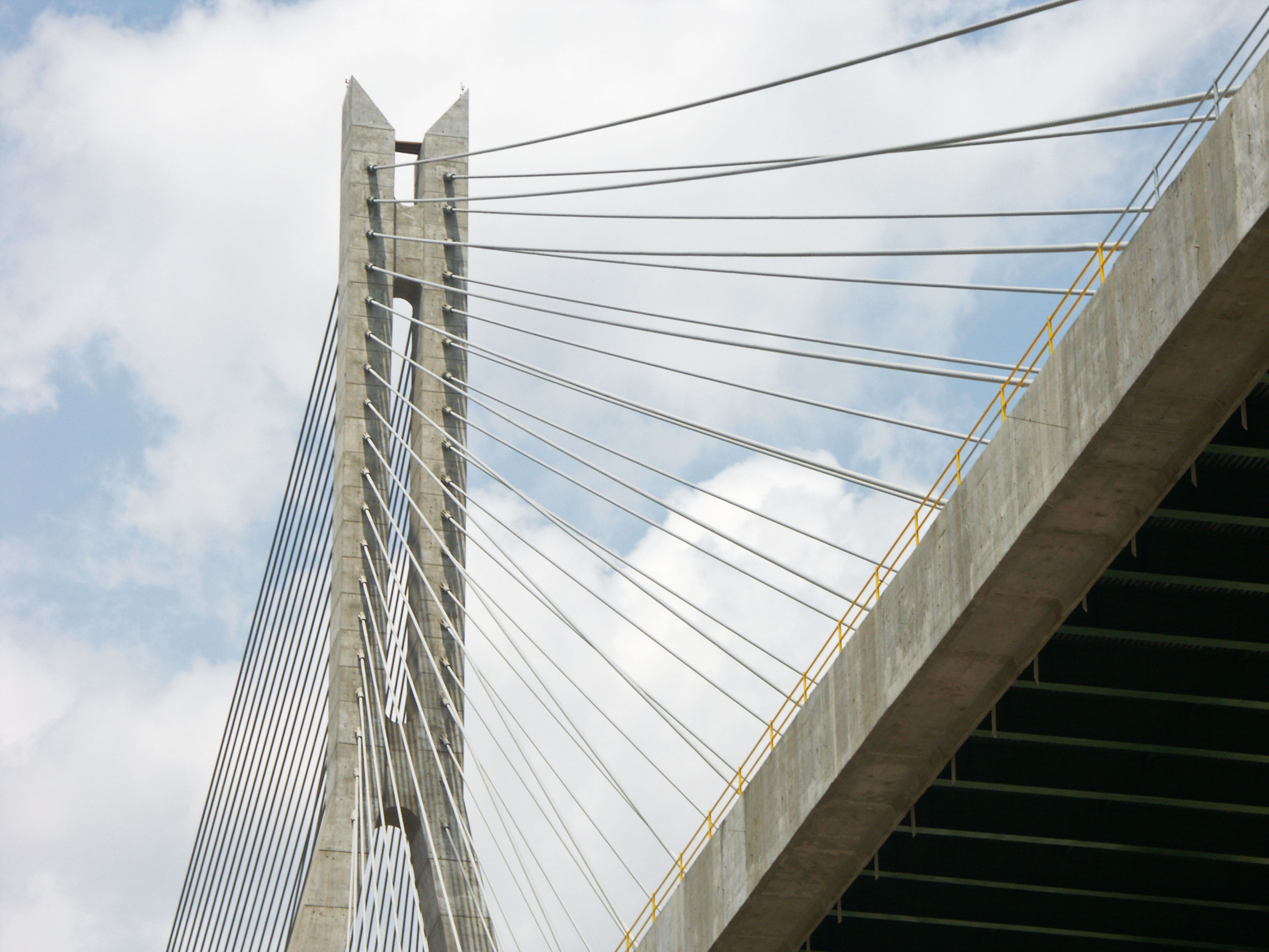
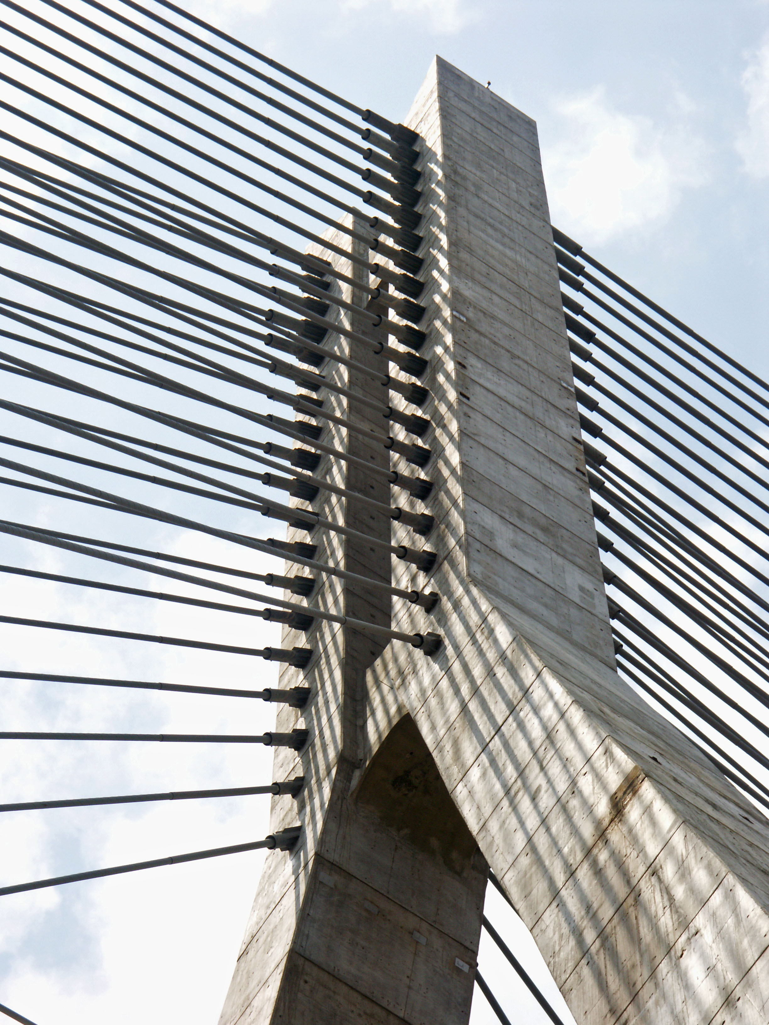
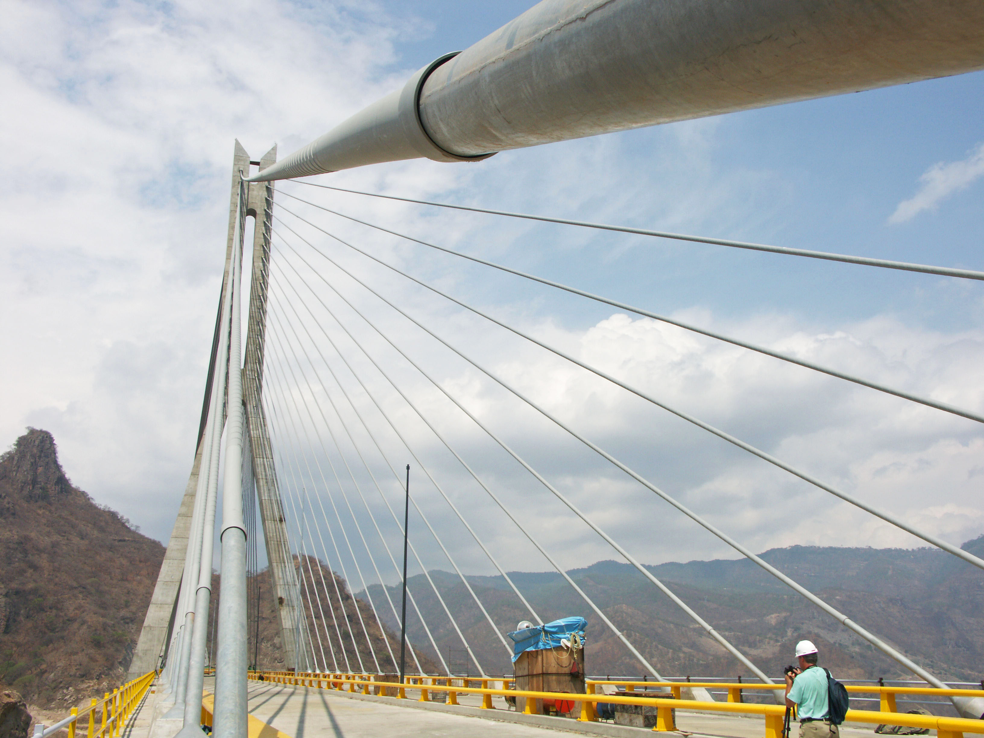
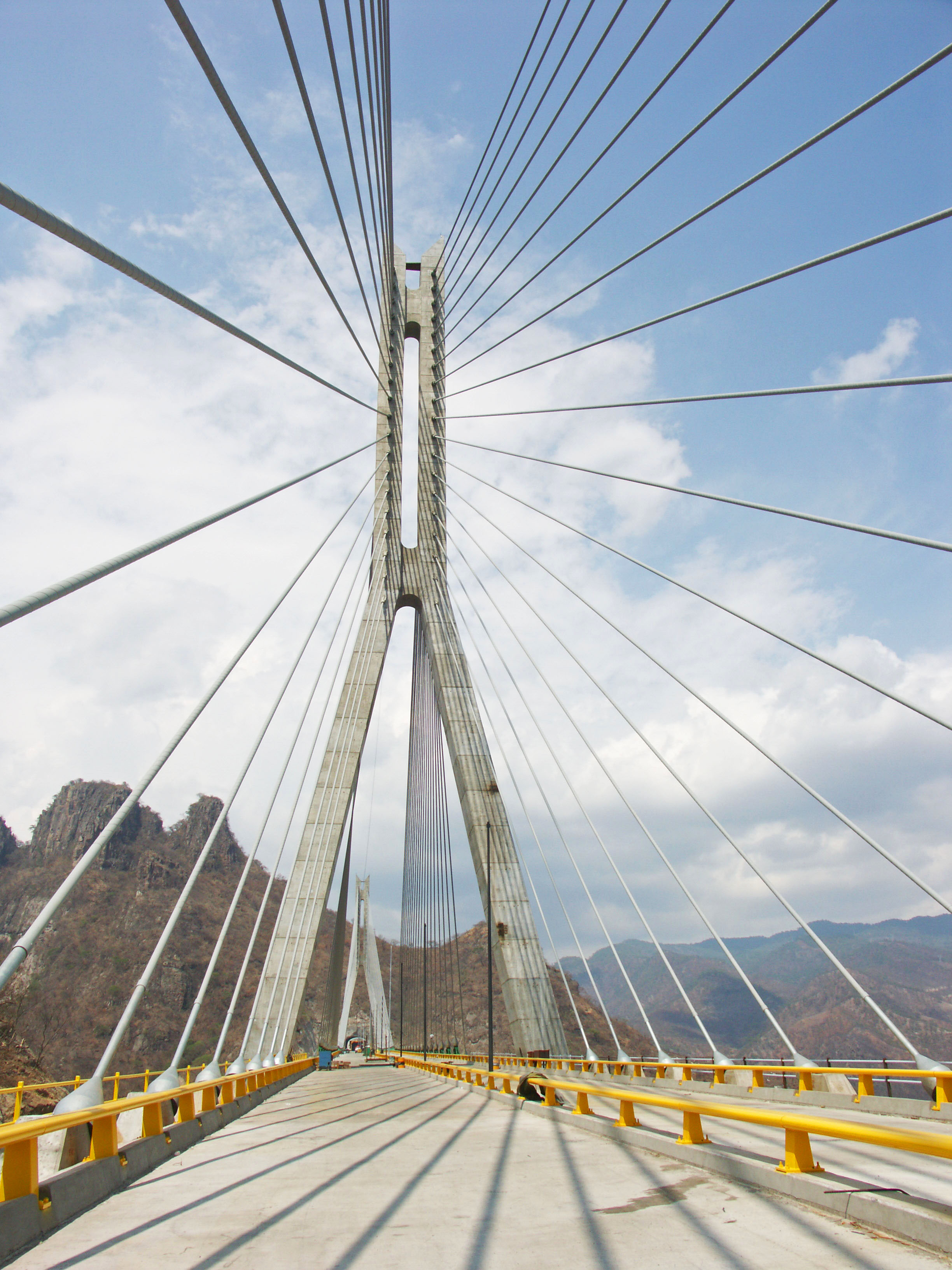
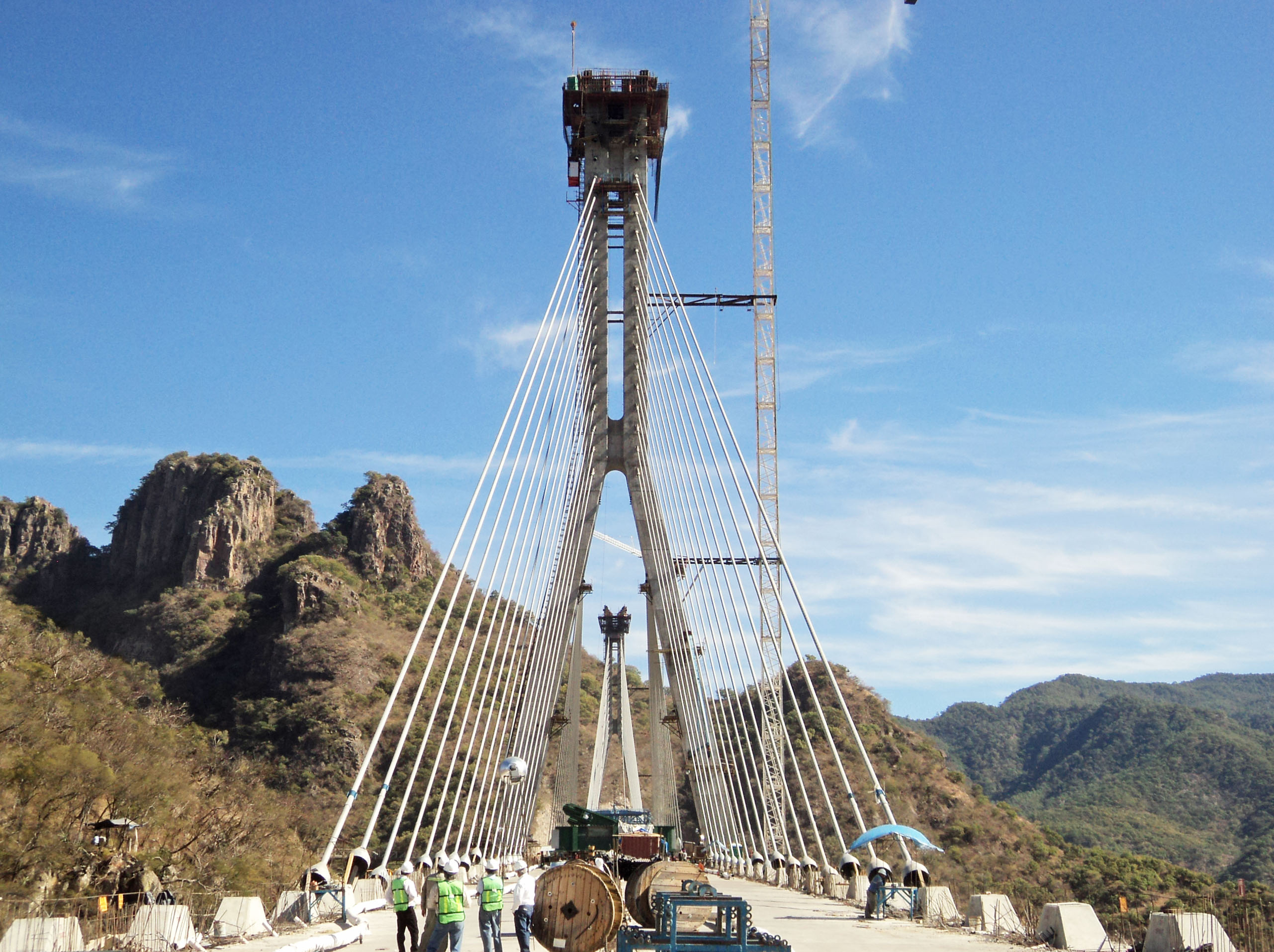
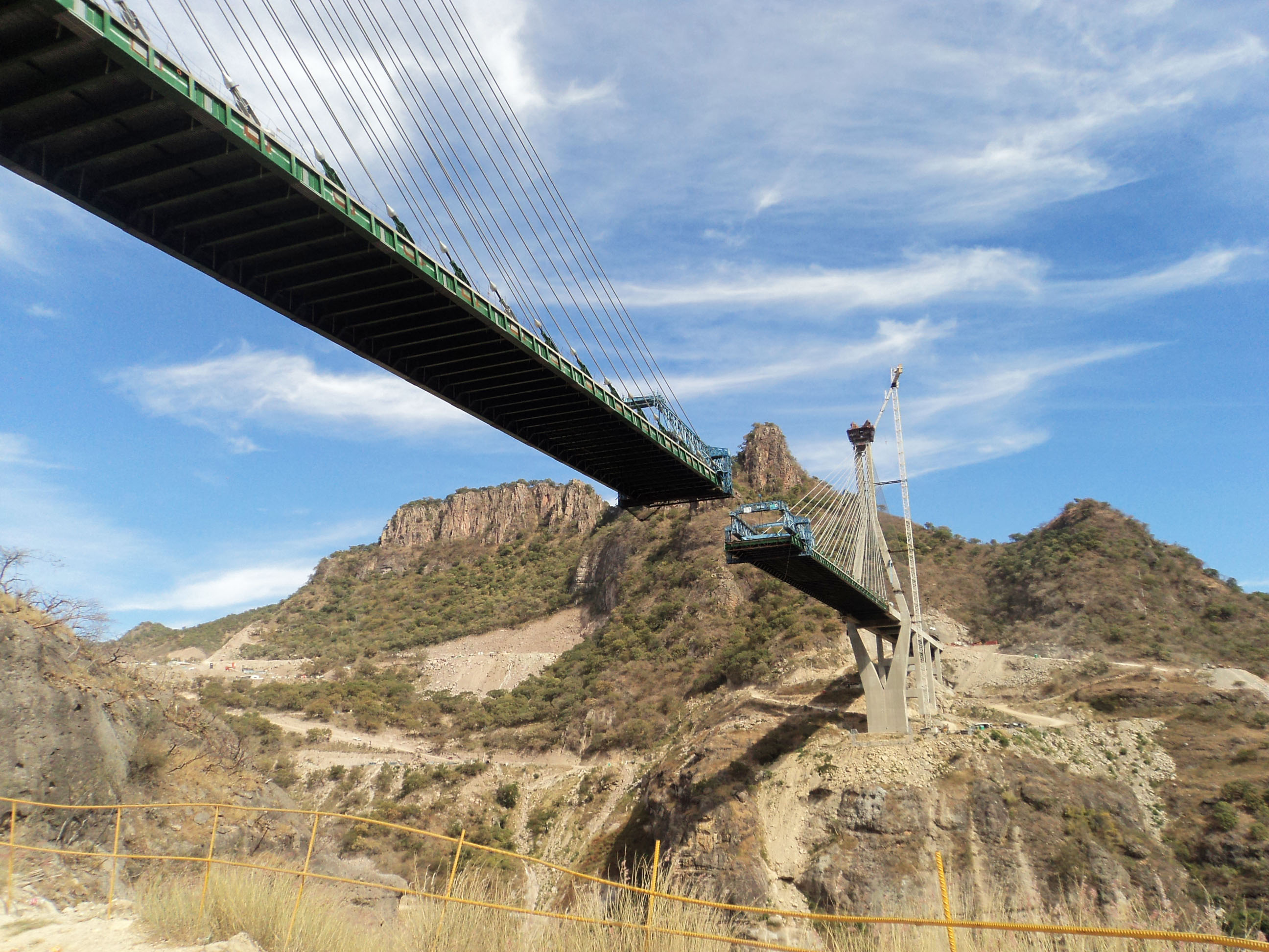
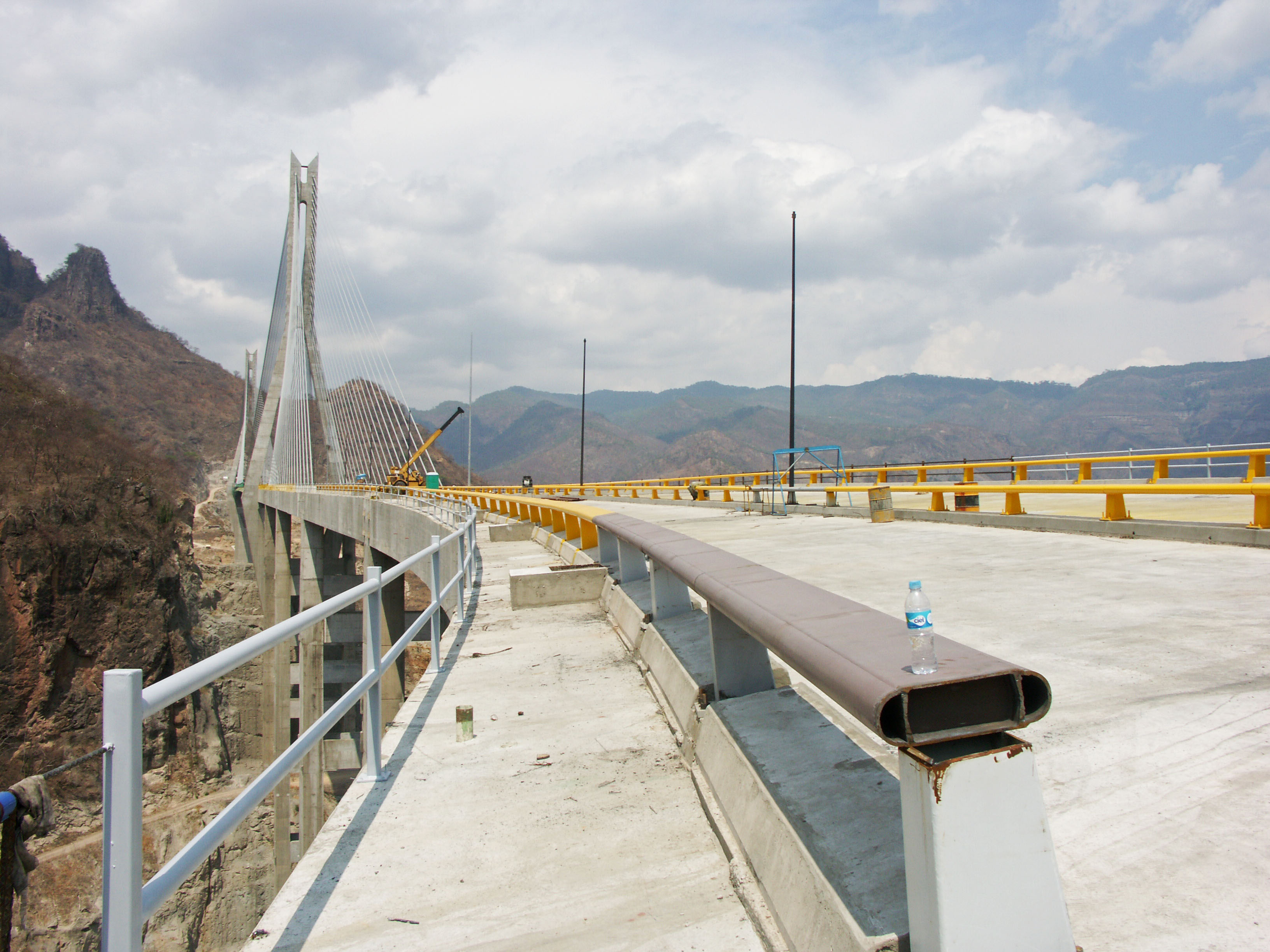
The Baluarte River Bridge is the highest bridge in North America and one of the highest cable stayed bridges in the world surpassing even the Millau Viaduct, Europe's highest bridge. It is the crown jewel of the greatest bridge and tunnel highway project ever undertaken in North America. Known as the Durango-Mazatlán highway, it will be the only crossing for more than 500 miles (800 km) between the pacific coast and the interior of Mexico. The path of this new highway roughly parallels the famous “Devil’s Backbone”, a narrow road that earned its nickname from the way it follows the precarious ridge crest of the jagged peaks of the Sierra Madre Occidental mountains. The dangerous road is a seemingly endless onslaught of twisting, terrifying turns that are so tight there are times the road nearly spirals back into itself.
By cutting a safer, more direct route through the mountains, the highway department of Mexico hopes to improve trade and increase tourism between the city of Durango and the coastal city of Mazatlán. To achieve this connection, the Mexican engineers were forced to design an autopista with no less than 61 tunnels - nearly 10 times more than have ever been built on any road in North America. For big bridge fans, the highway is no less amazing with a parade of towering concrete beam bridges. Including Baluarte, there will be 7 bridges that exceed 300 feet (90 mtrs) in height including Santa Lucia, Neverías, Chico, Botijas, Pueblo Nuevo and El Carrizo. Only in China and Italy are there highways with a larger collection of high bridges.
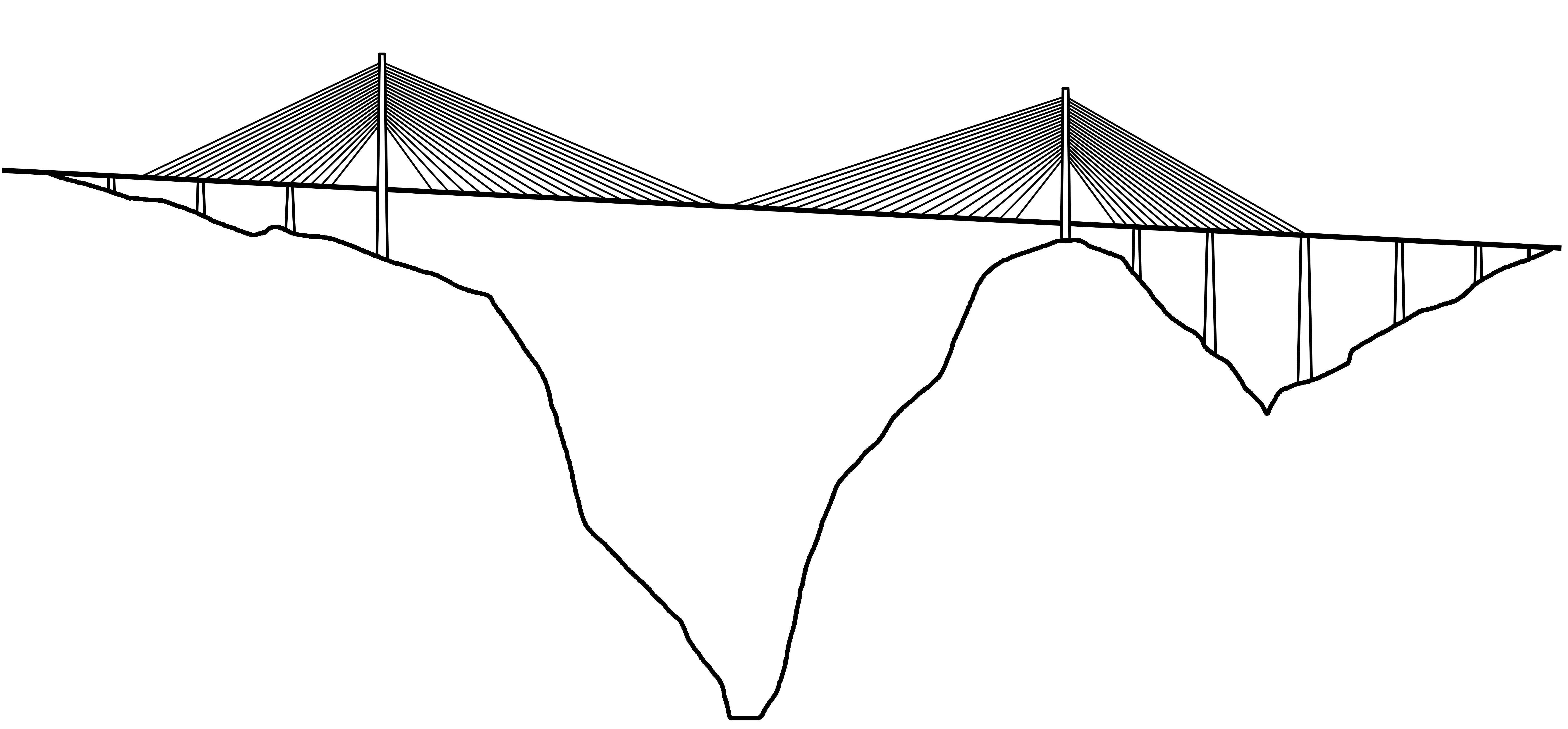
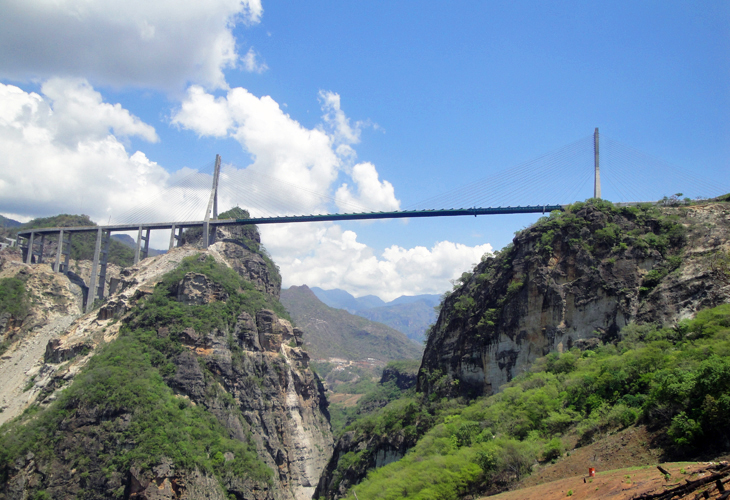
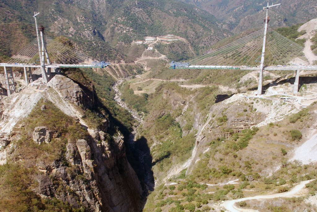
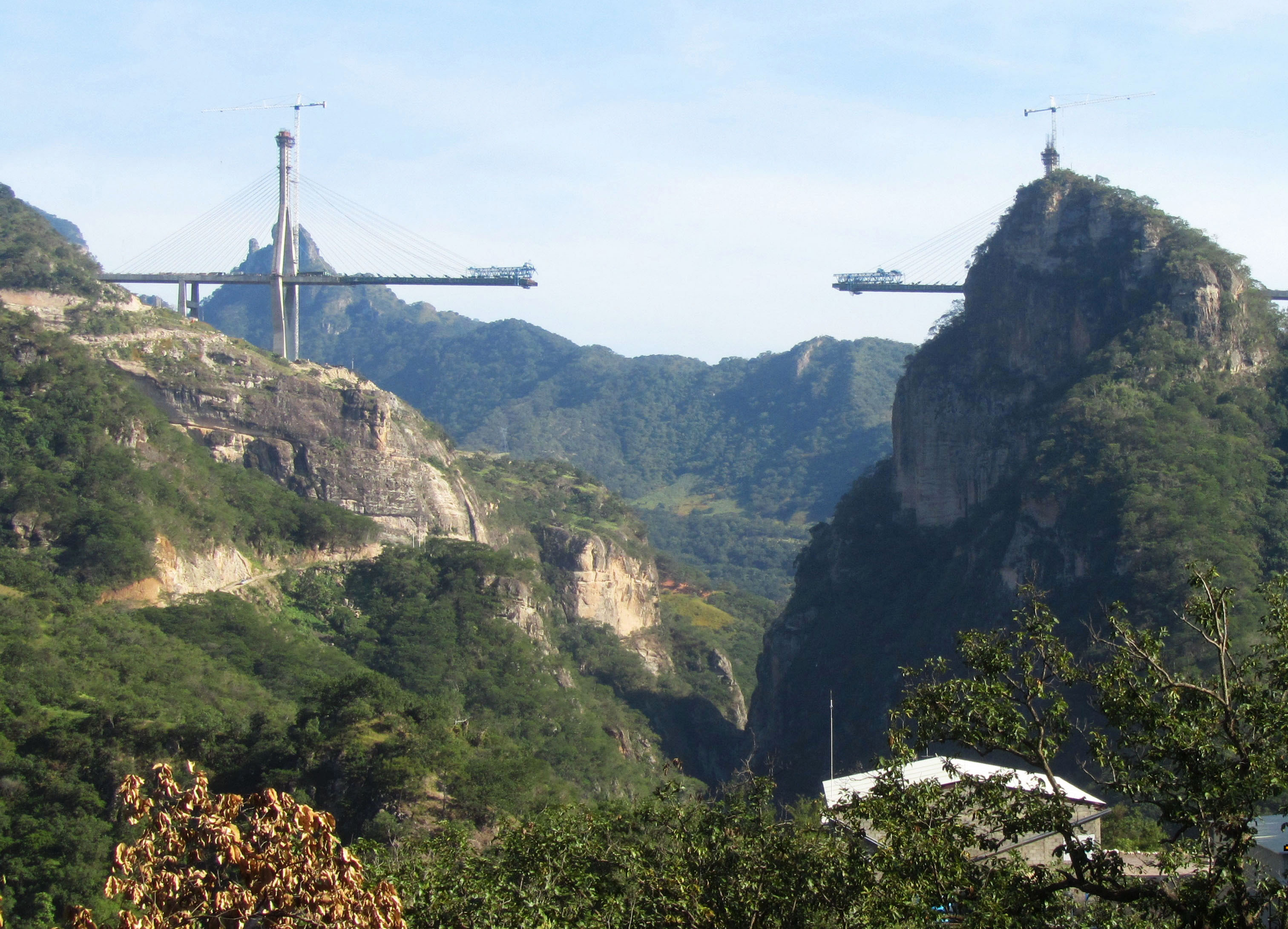
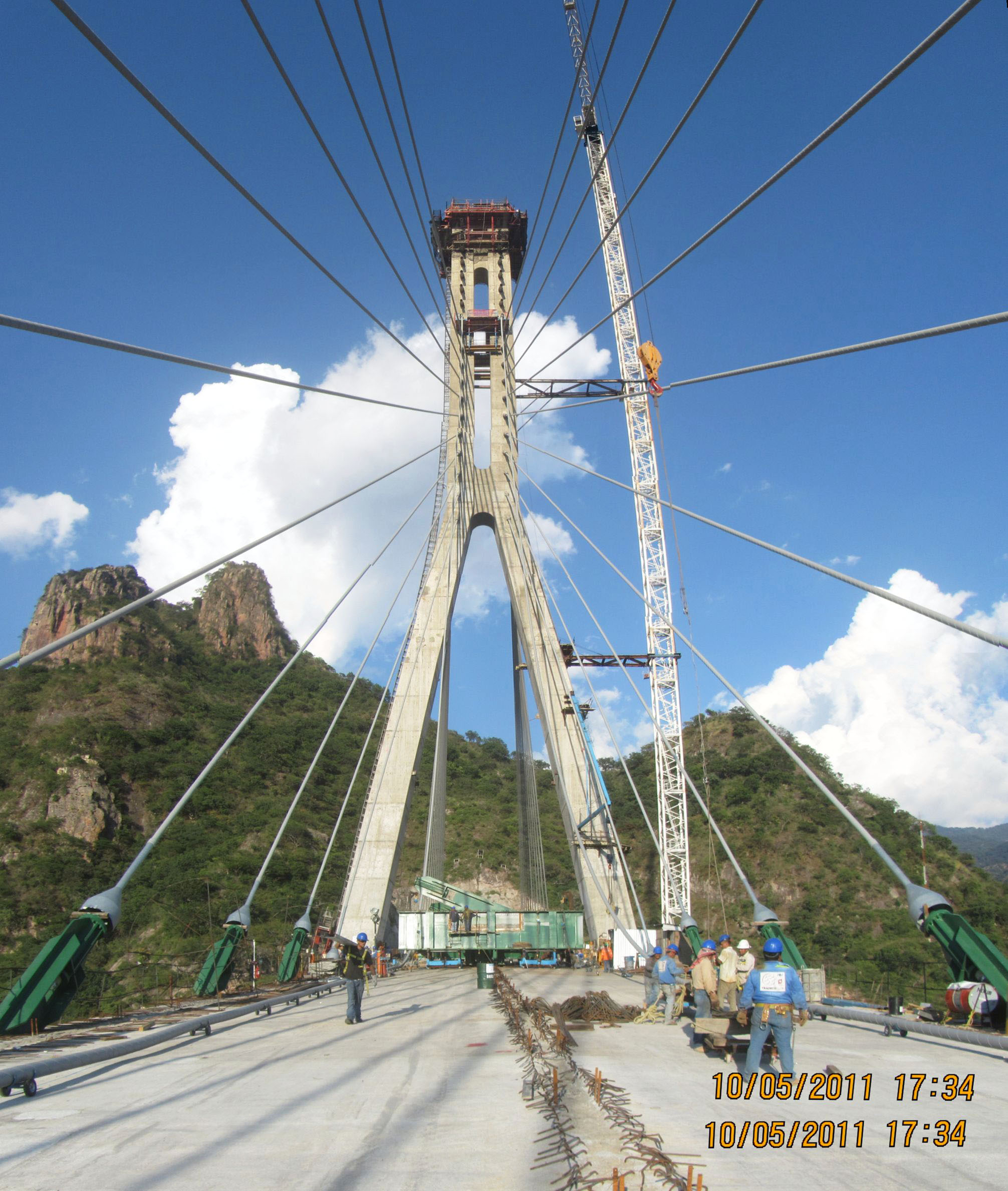
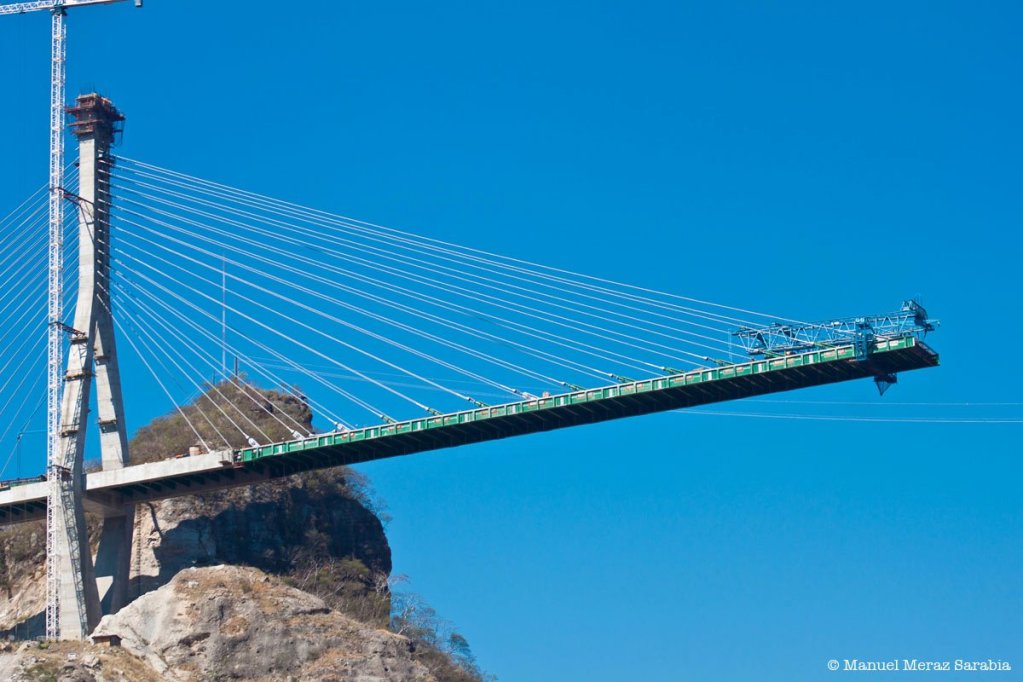
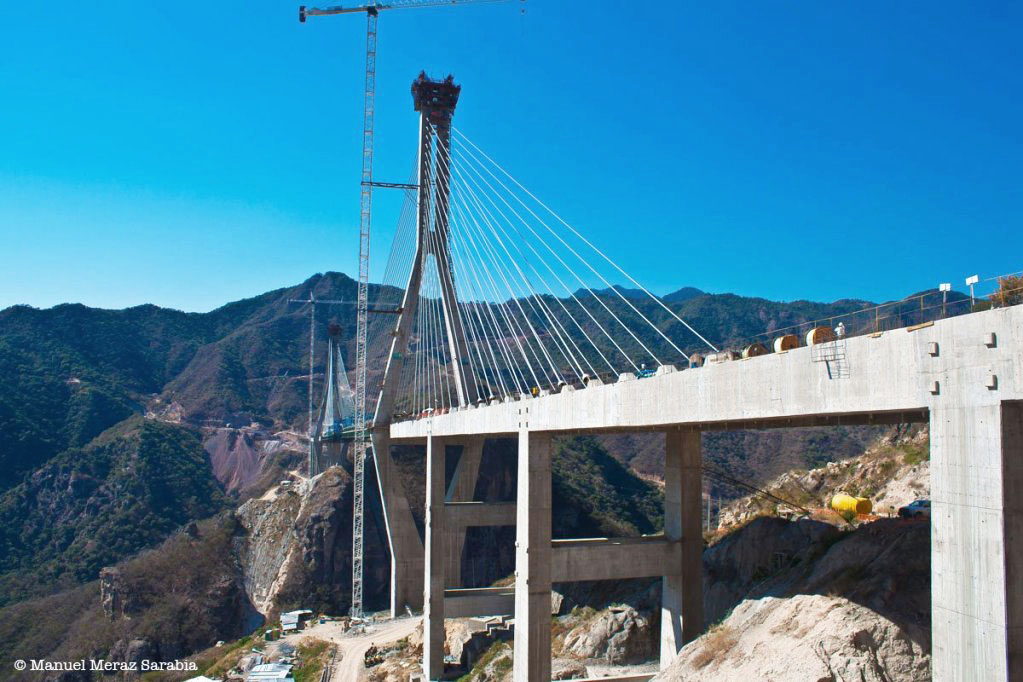
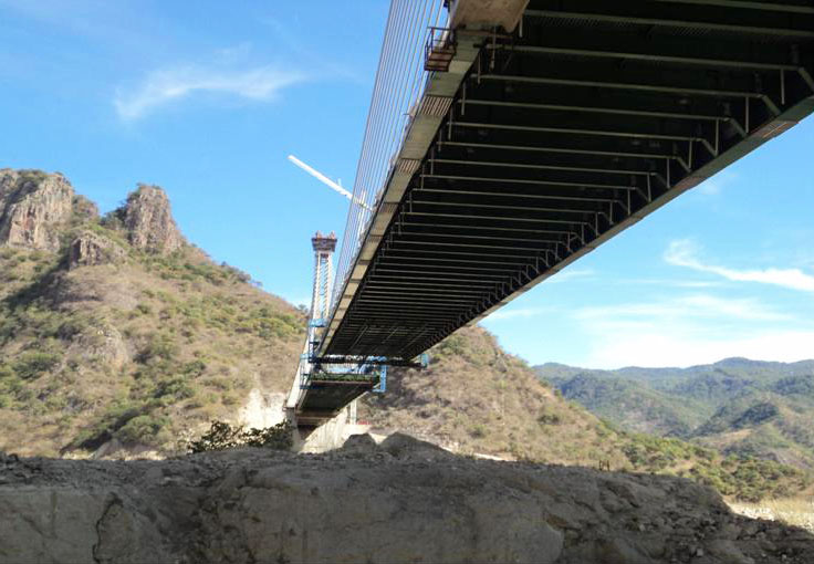
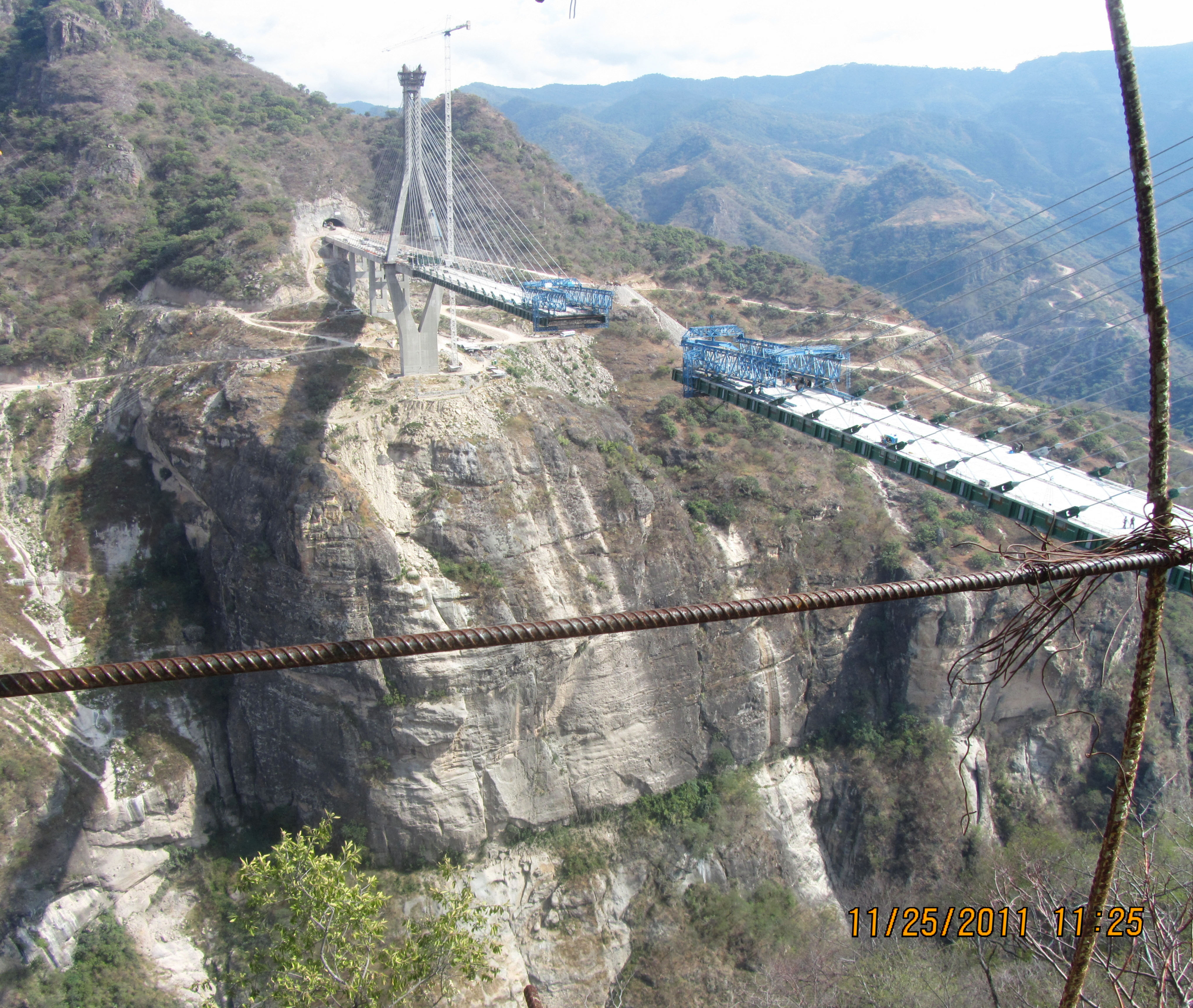
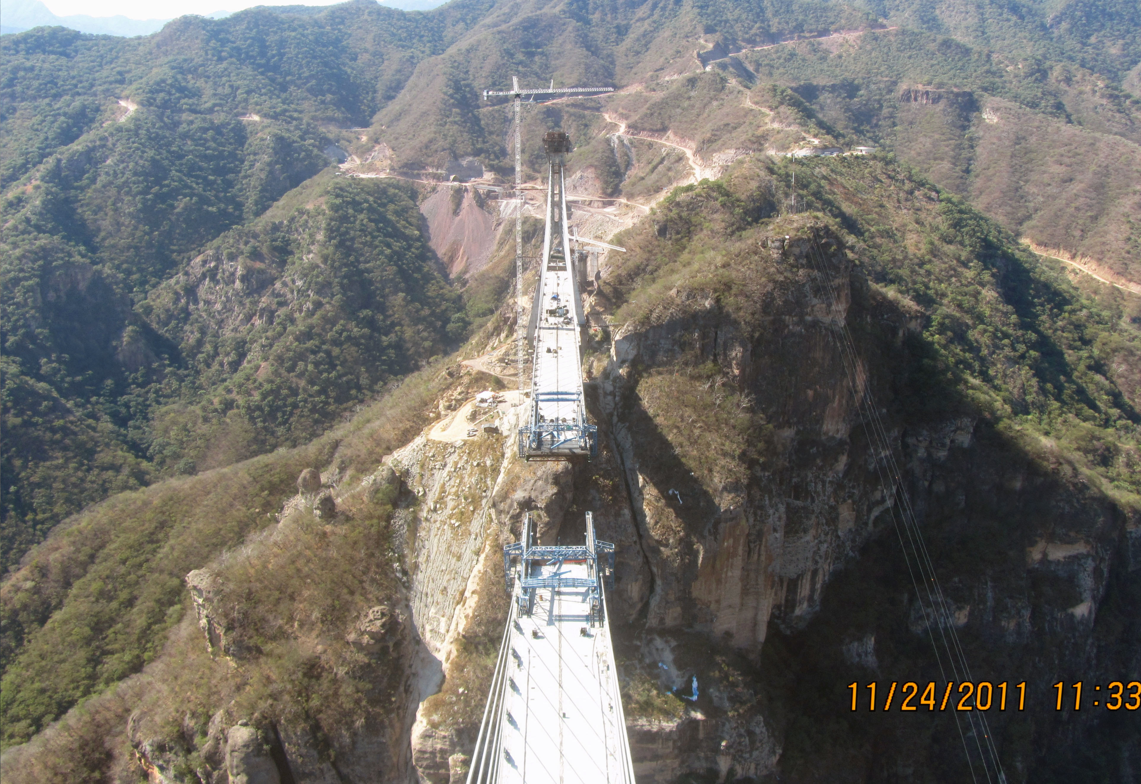
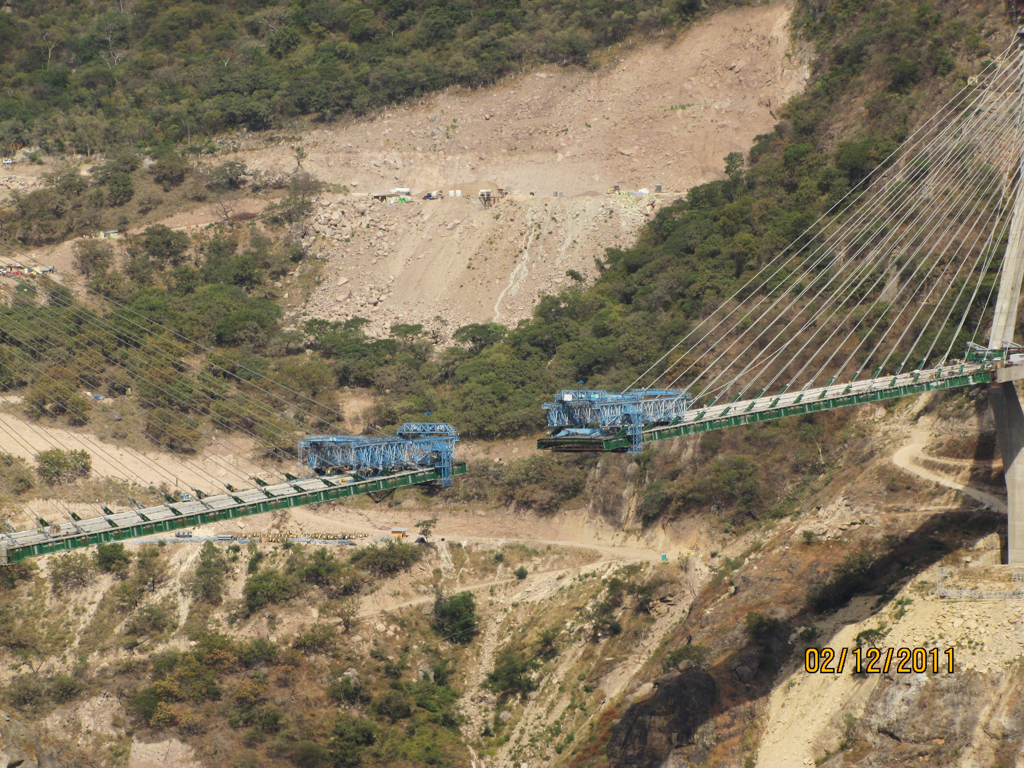
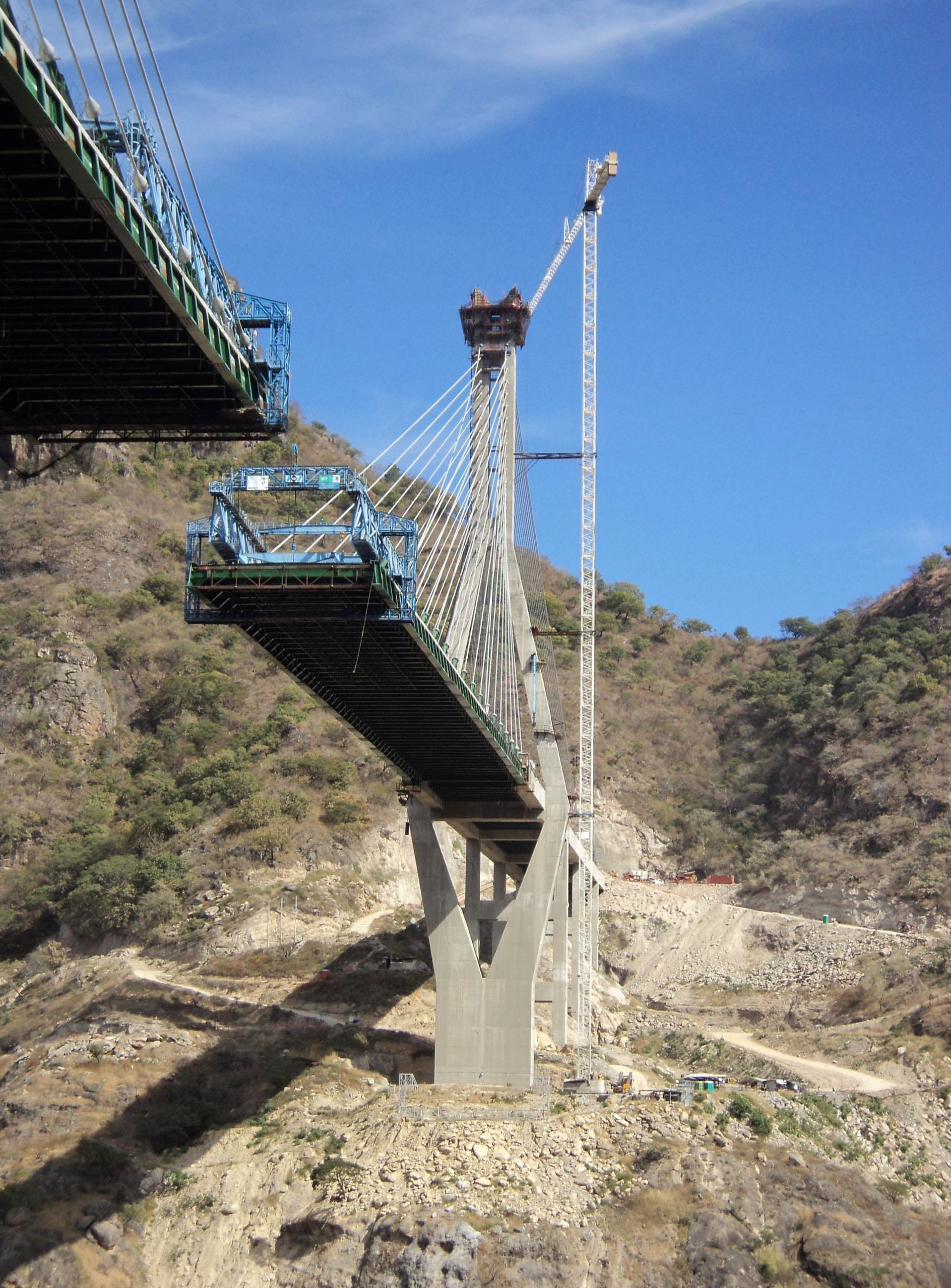
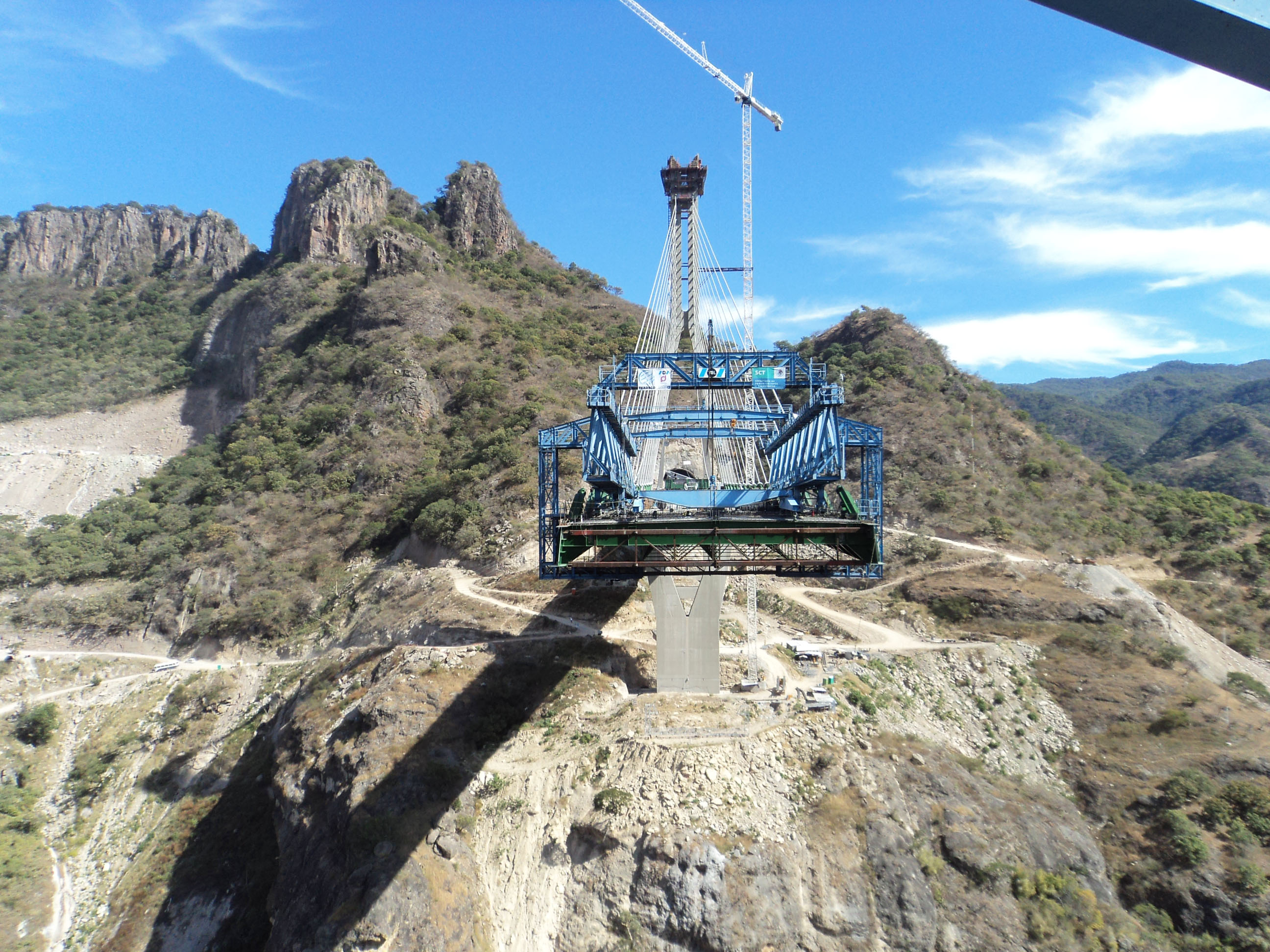
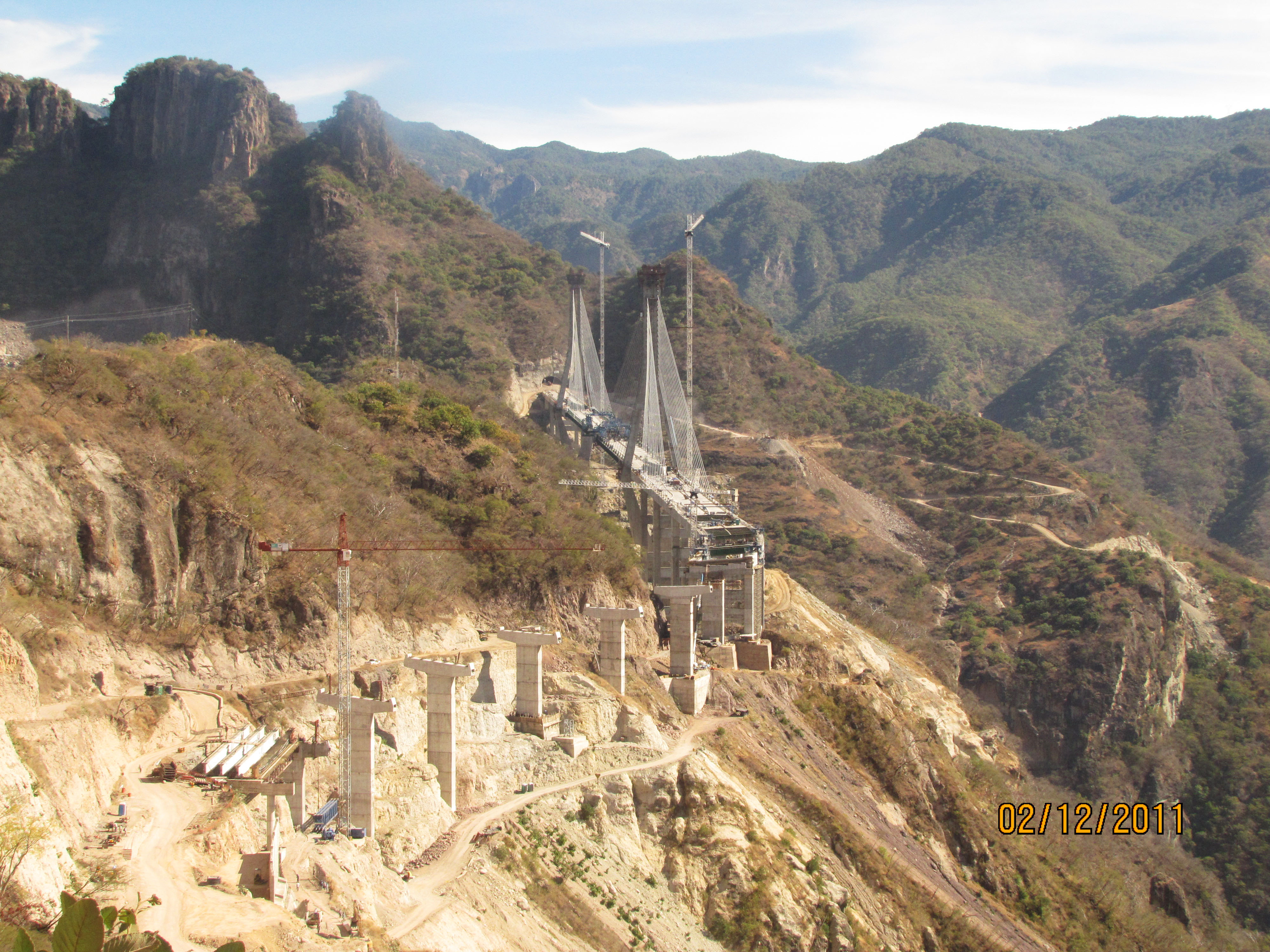
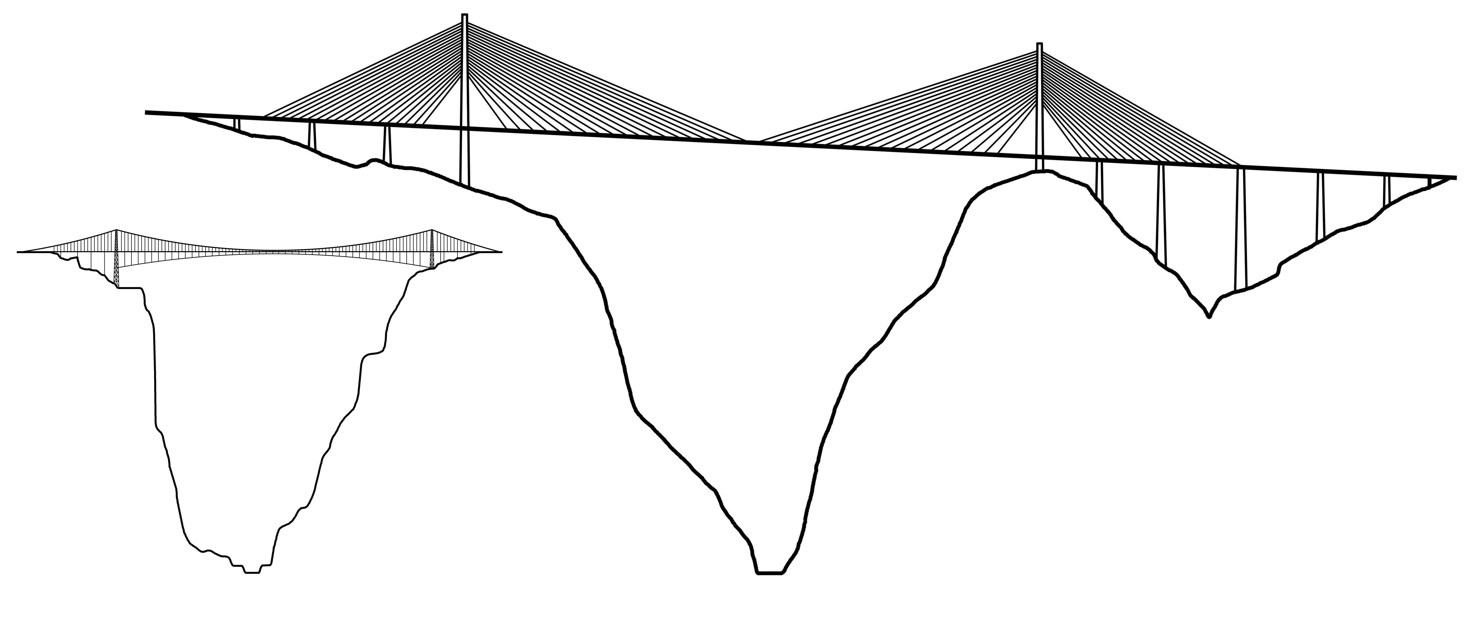
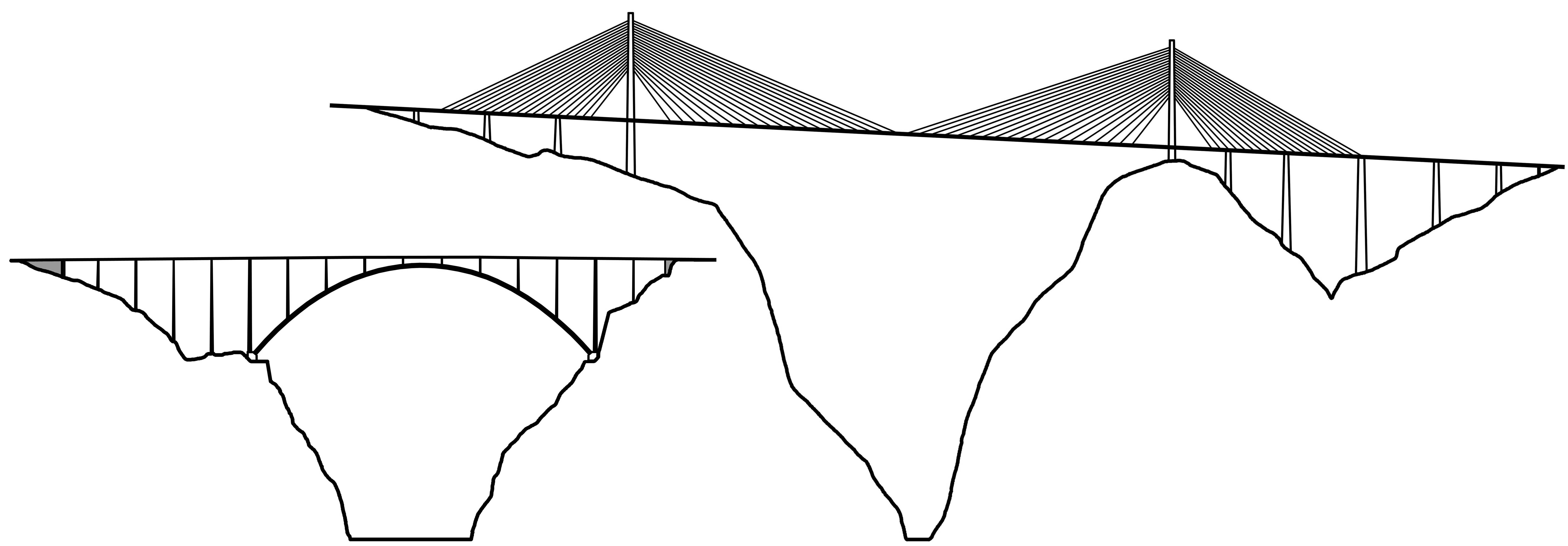
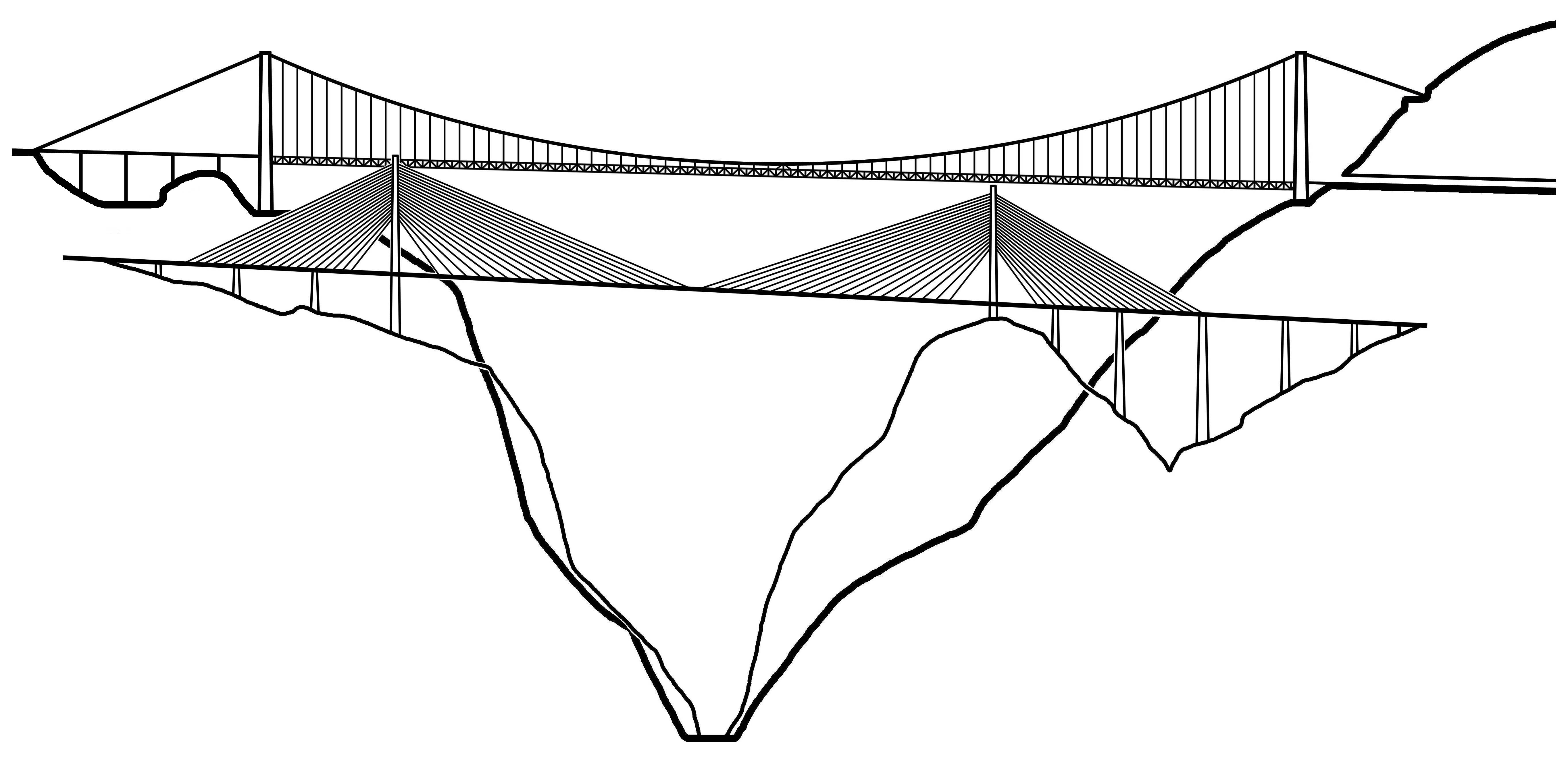
Forming the border between Sinaloa and Durango states, the Baluarte River is the most formidable obstacle on the route with a gorge more than a quarter mile in height. To cross it, the Mexican engineers decided to go with a cable stayed bridge. It would allow the construction to proceed outward from a single tower on either side of the canyon, avoiding the difficult and expensive construction of temporary false work. Once completed, the final height of 1,280 feet (390 mtrs) will make it the second highest roadway bridge on earth. It will also have the longest span of any cable stayed bridge in North America at 1,706 feet (520 mtrs), exceeding the John James Audubon bridge in St. Francisville, Louisiana by 123 feet (37 mtrs).
When it is completed, the Baluarte crossing will be more than just a preeminent bridge but a signal to its bigger neighbor to the North that Mexico can design and build bridges with the same skill and perfection as the best of them. As a stretch of North American pavement without parallel, the Durango-Mazatlán highway will become a proud, prominent symbol of Mexico’s civil engineering skills for decades to come.
En el año 2012, cuando se terminé su construcción, el puente del Río Baluarte no sólo será el puente más alto en América del Norte, sino el mayor puente atirantado en el mundo; superando con esto el viaducto de Millau en Francia. Es la joya de la corona del proyecto carretero que combina puentes y túneles más grande que se haya emprendido en América del Norte. Conocida como la carretera Durango-Mazatlán, constituirá el único cruce de más de 500 millas (800 km) entre la costa del Pacífico y el interior de México. El trazo de esta nueva autopista es paralelo al famoso "Espinazo del Diablo"; una estrecha carretera que se ganó su apodo por la forma en que sigue la orografía de los picos de la Sierra Madre Occidental. Este peligroso camino parece un interminable recorrido de torsión, con curvas muy cerradas que en veces el camino casi se curvea hacia sí mismo durante el recorrido.
Al desarrollar una ruta más segura, directa y rápida a través de la Sierra Madre Occidental, la Secretaría de Comunicaciones y Transportes (SCT) busca impulsar el comercio y el turismo entre la ciudad de Durango, Torreón y Monterrey y la ciudad costera de Mazatlán. Para lograr este objetivo, los ingenieros mexicanos se vieron obligados a diseñar una autopista con no menos de 63 túneles - casi 10 veces más que el proyecto con mayor número de túneles existente en América del Norte. Para los fanáticos de los puentes, la carretera es sorprendente con su desfile de enormes puentes de vigas de hormigón. Incluido el Puente Baluarte, hay 7 puentes que superan los 300 pies (90 metros) de altura incluyendo Santa Lucía, Neverías, Chico, Botijas, Pueblo Nuevo y El Carrizo. Sólo en China y Italia tiene una colección mayor de puentes elevados.
Ubicado en la frontera entre los estados de Sinaloa y Durango, el río Baluarte es el mayor obstáculo en la ruta con una depresión de más de un cuarto de milla de altura por cruzar. Para lograr esto, los ingenieros mexicanos decidieron ir con un puente atirantado. Esto permitirá la que la construcción se realice desde una sola torre hacia ambos lados del cañón, evitando la costosa y difícil construcción mediante elementos falsos que se pierden una vez concluidos las actividades. Una vez finalizado, la altura final de 390 metros le convierte en el segundo puente de carretera más alto del mundo. También tendrá el tramo más largo de cualquier puente atirantado en Norteamérica con 1.706 pies (520 metros), superando el puente John James Audubon en St. Francisville, Luisiana por 123 pies (37 metros).
Cuando esté terminado, el Puente Baluarte será más que un simple puente, será un ejemplo, una aviso al vecino del Norte; un aviso que muestra que en México se pueden diseñar y construir puentes con tanta habilidad y perfección como el mejor de ellos. Como un tramo de pavimento sin paralelo, la autopista Durango-Mazatlán se convertirá en un símbolo de orgullo y habilidad de la ingeniería civil mexicana para las pr´xomas décadas.
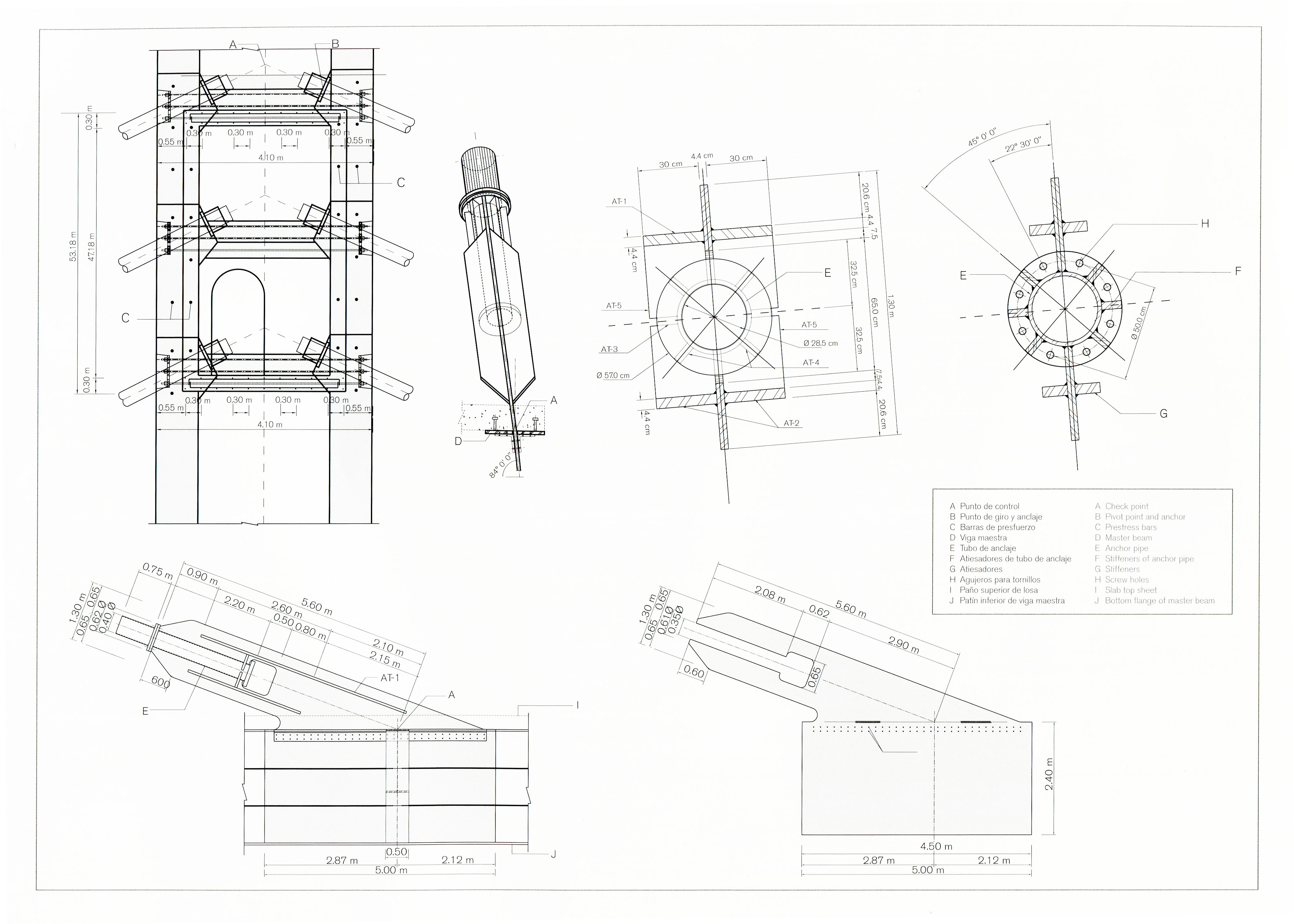
Image by SCT
Image by Eblem Torres.
Image by Grupo Triada / Owner SCT
Image by Grupo Triada / Owner SCT
Image by Grupo Triada / Owner SCT
Image by Grupo Triada / Owner SCT
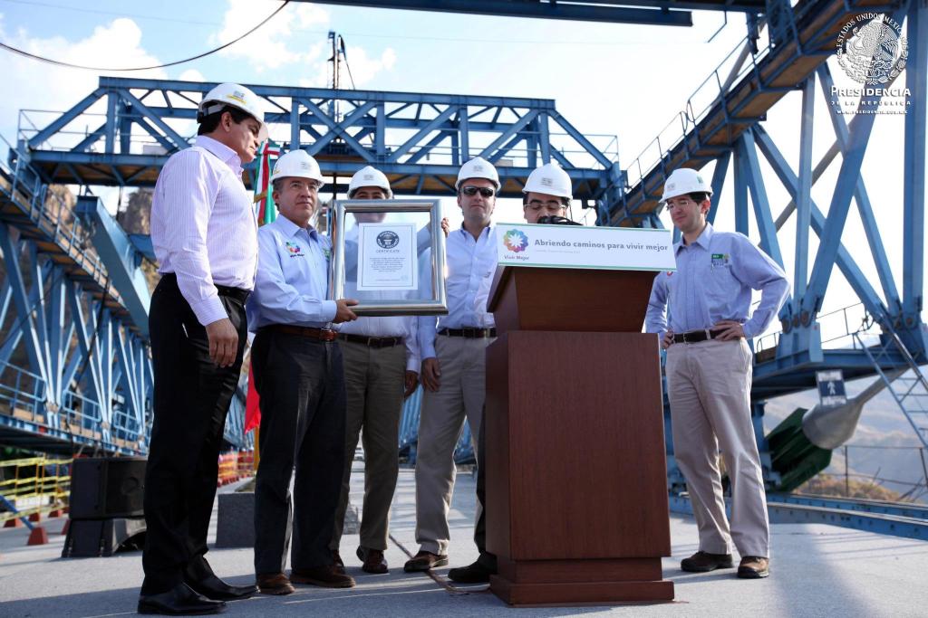
El presidente mexicano Felipe Calderón sostiene un libro Guinness de los Récords del Mundo placa que indica que Baluarte es el más alto del mundo cable puente atirantado. Imagen de Web de la Presidencia de la República.
Mexican President Felipe Calderón holds a Guinness Book of World Records plaque stating that Baluarte is the world's highest cable stayed bridge. Image by Web de la Presidencia de la República.
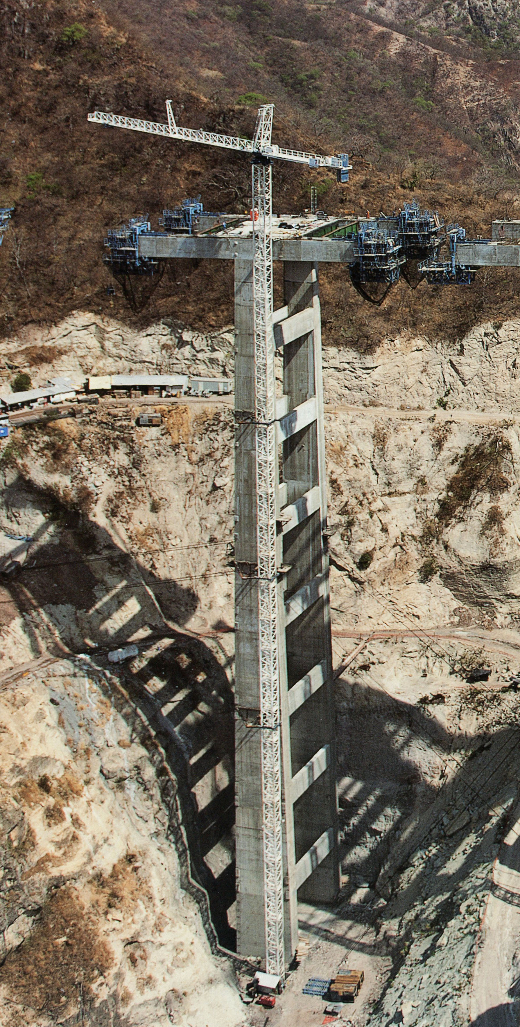
Puente Baluarte pila 9 está a 140 metros de altura.
Baluarte Bridge Pier 9 measures 140 meters in height. Image by SCT
Image by Eric Sakowski / HighestBridges.com
Image by Eric Sakowski / HighestBridges.com
Image by Maraz Sarabia.
Image by Maraz Sarabia.
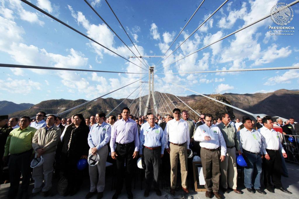
Image by Web de la Presidencia de la República.
Image by Grupo Triada / Owner SCT
Image by Grupo Triada / Owner SCT
Image by Grupo Triada / Owner SCT
Image by Grupo Triada / Owner SCT
Image by Eric Sakowski / HighestBridges.com
Image by Eric Sakowski / HighestBridges.com
Image by Eric Sakowski / HighestBridges.com
Image by Grupo Triada / Owner SCT
Image by Grupo Triada / Owner SCT
Image by Grupo Triada / Owner SCT
Una vista de la torre de Sinaloa mirando hacia Durango.
A view from the Sinaloa tower looking towards Durango. Image by Grupo Triada / Owner SCT
Image by Grupo Triada / Owner SCT
Una vista de la torre mirando hacia Durango Sinaloa.
A view from the Durango tower looking towards Sinaloa. Image by Grupo Triada / Owner SCT
Image by Grupo Triada / Owner SCT
Image by Eric Sakowski / HighestBridges.com
Image by Grupo Triada / Owner SCT
Image by Grupo Triada / Owner SCT
Image by Grupo Triada / Owner SCT
Image by Grupo Triada / Owner SCT
Image by SCT
Image by Grupo Triada / Owner SCT
Image by Eric Sakowski / HighestBridges.com
Image by Grupo Triada / Owner SCT
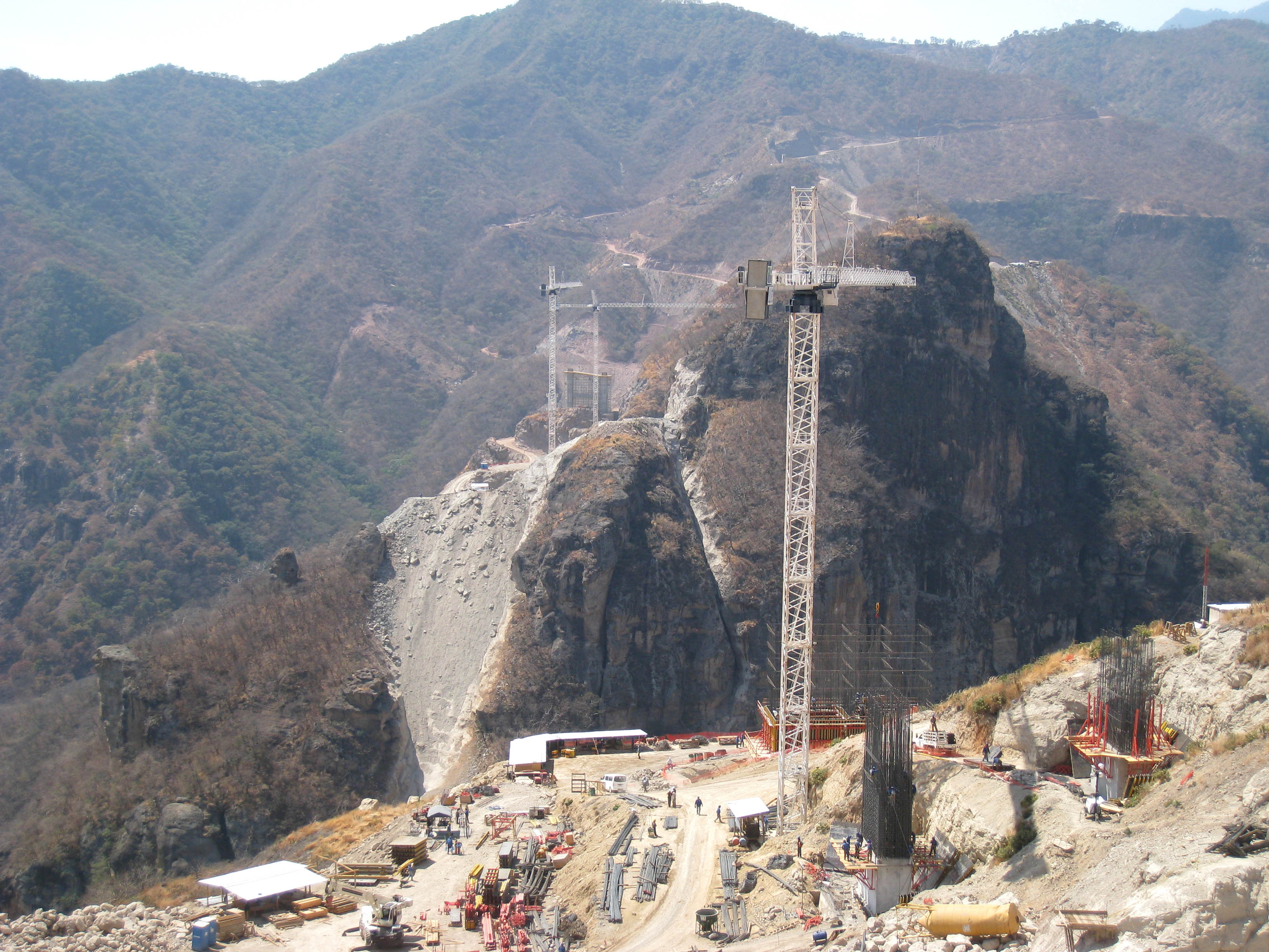
La pared de roca del lado de Durango se puede ver en este punto de vista desde el lado de Sinaloa.
The rock wall face of the Durango side can be seen in this view from the Sinaloa side.
Image by Grupo Triada / Owner SCT
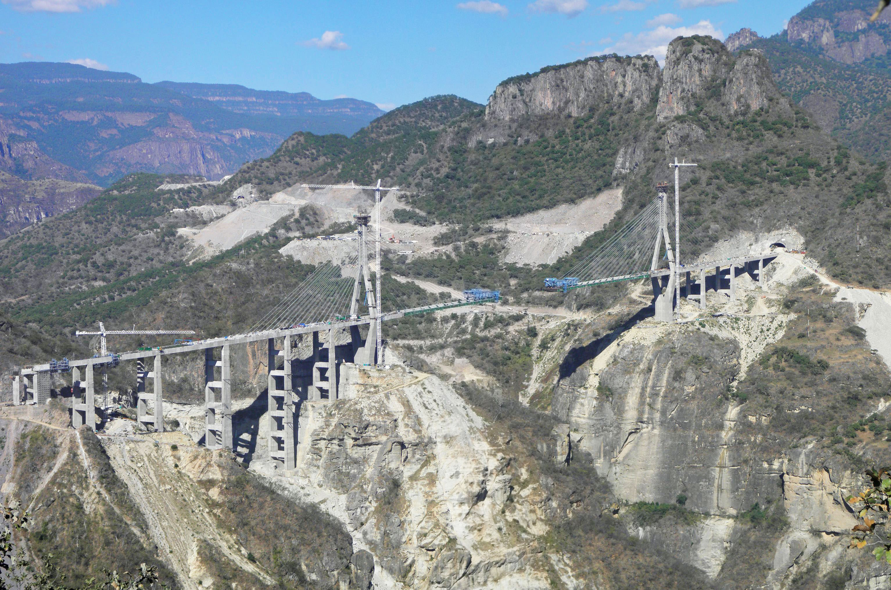
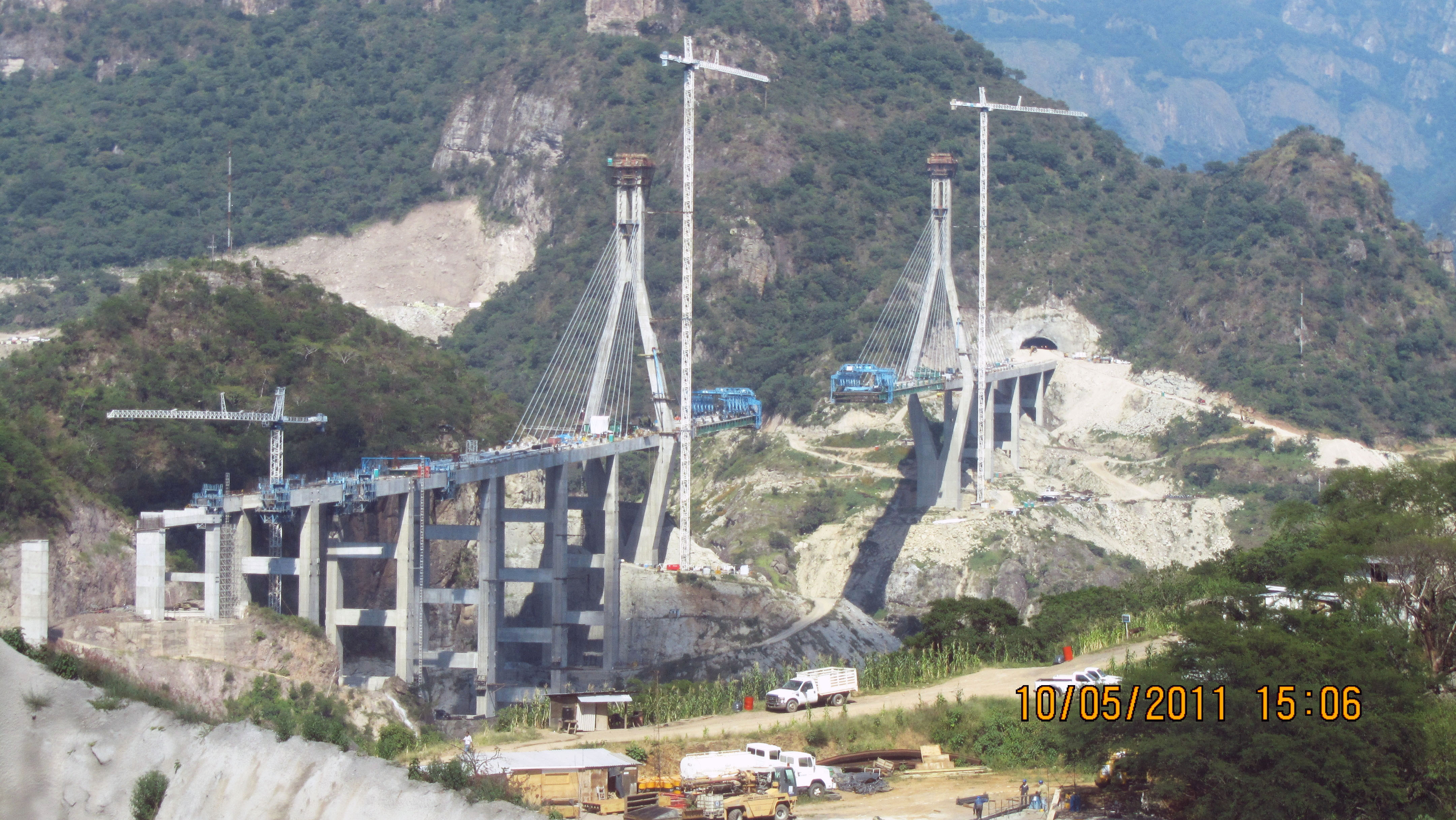
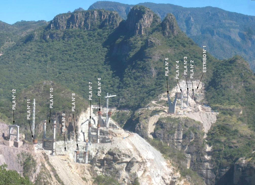
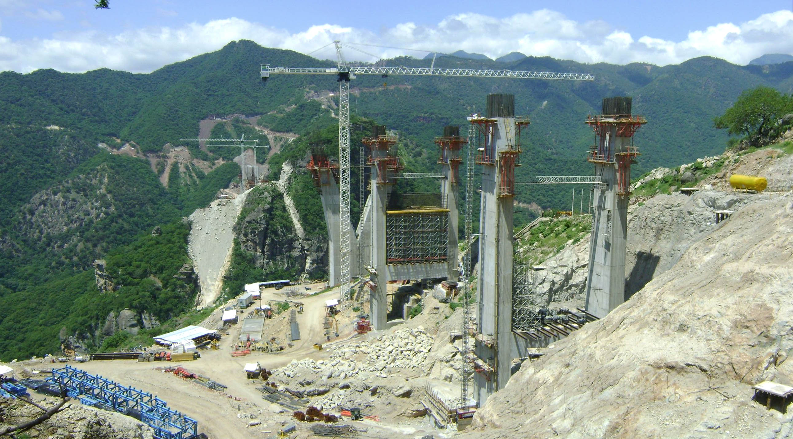
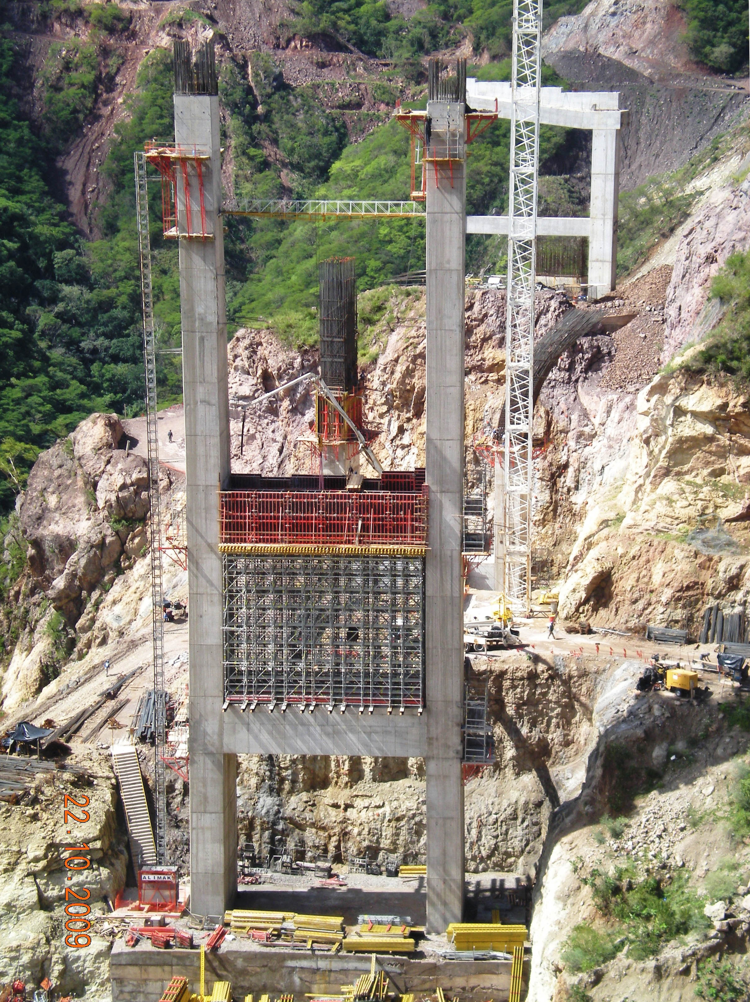
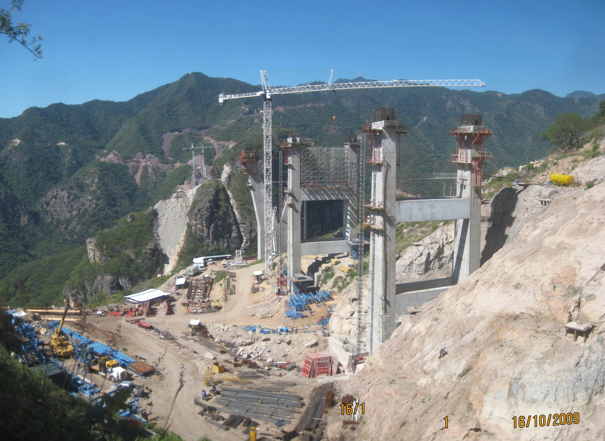
Otra vista mirando hacia el este desde el lado de Sinaloa muestra la disposición de las pilas.
Another view looking east from the Sinaloa side showing the arrangement of piers or "pilas". Image by Grupo Triada / Owner SCT
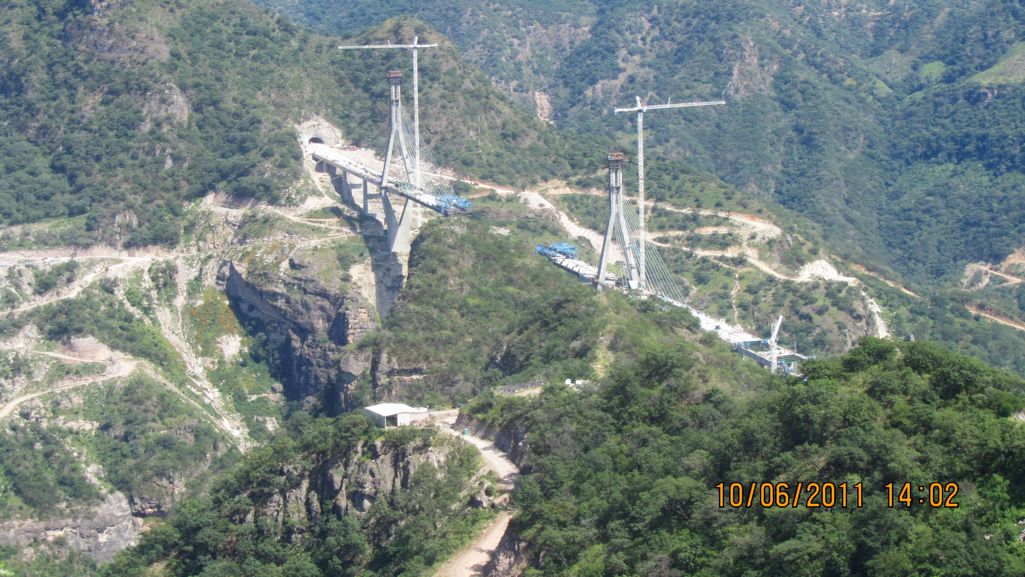
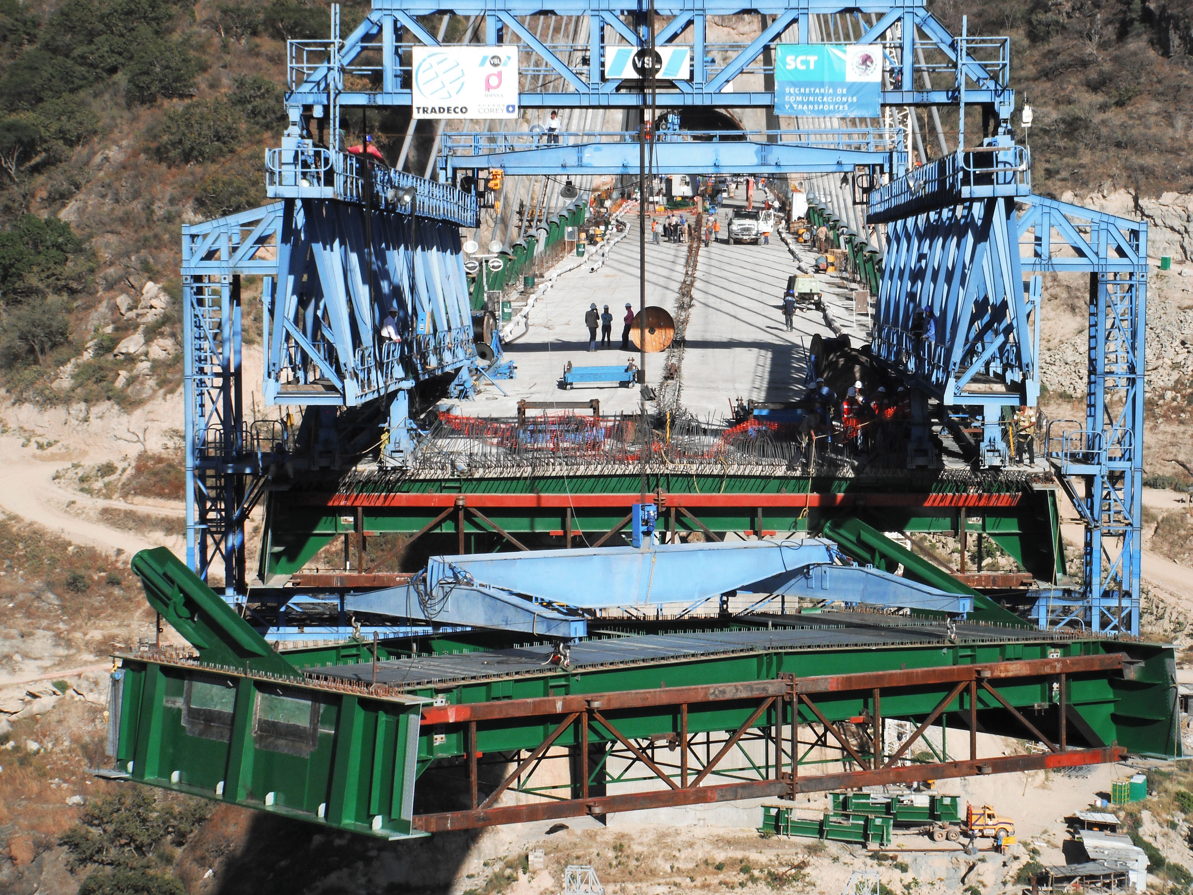
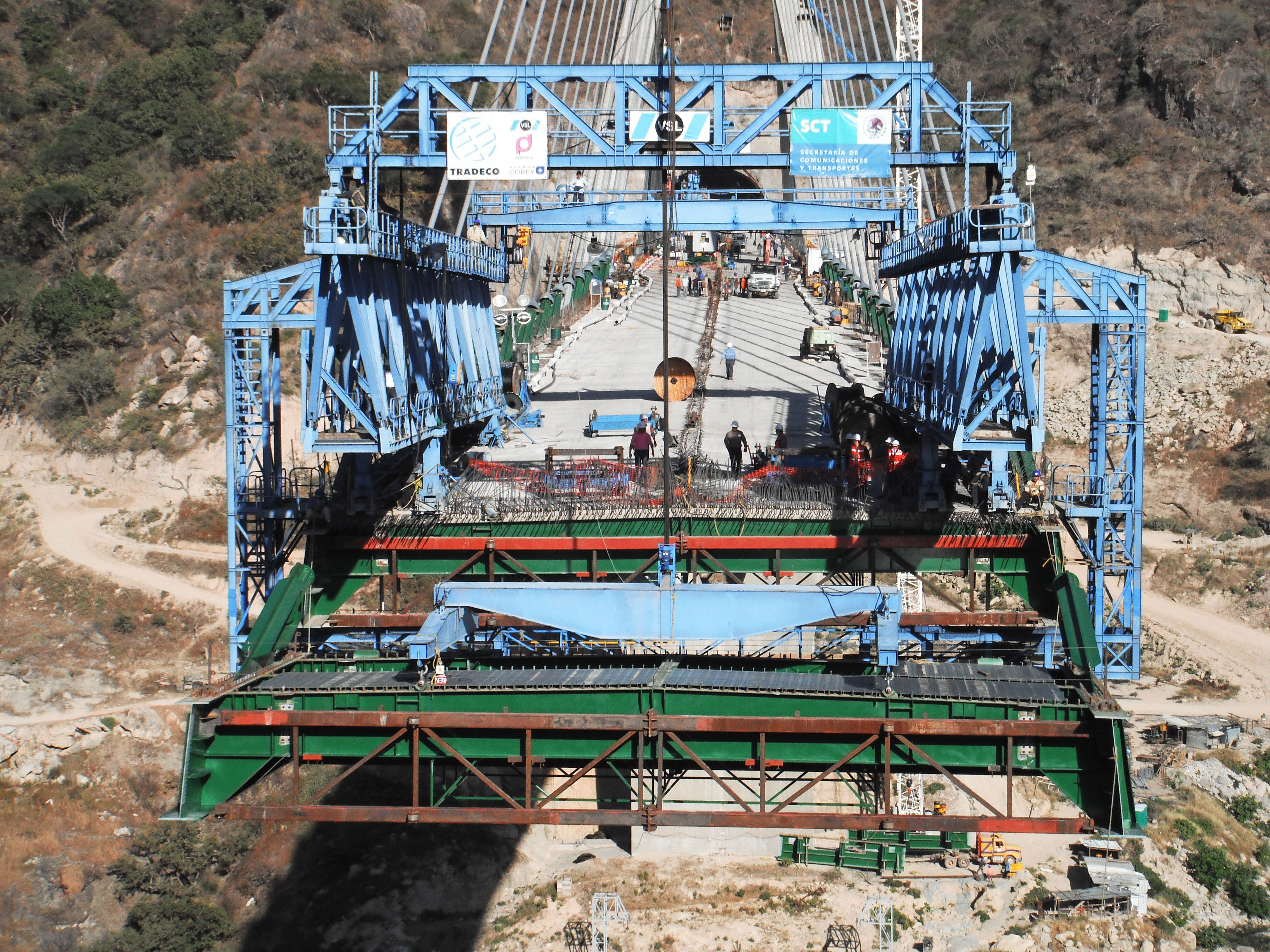
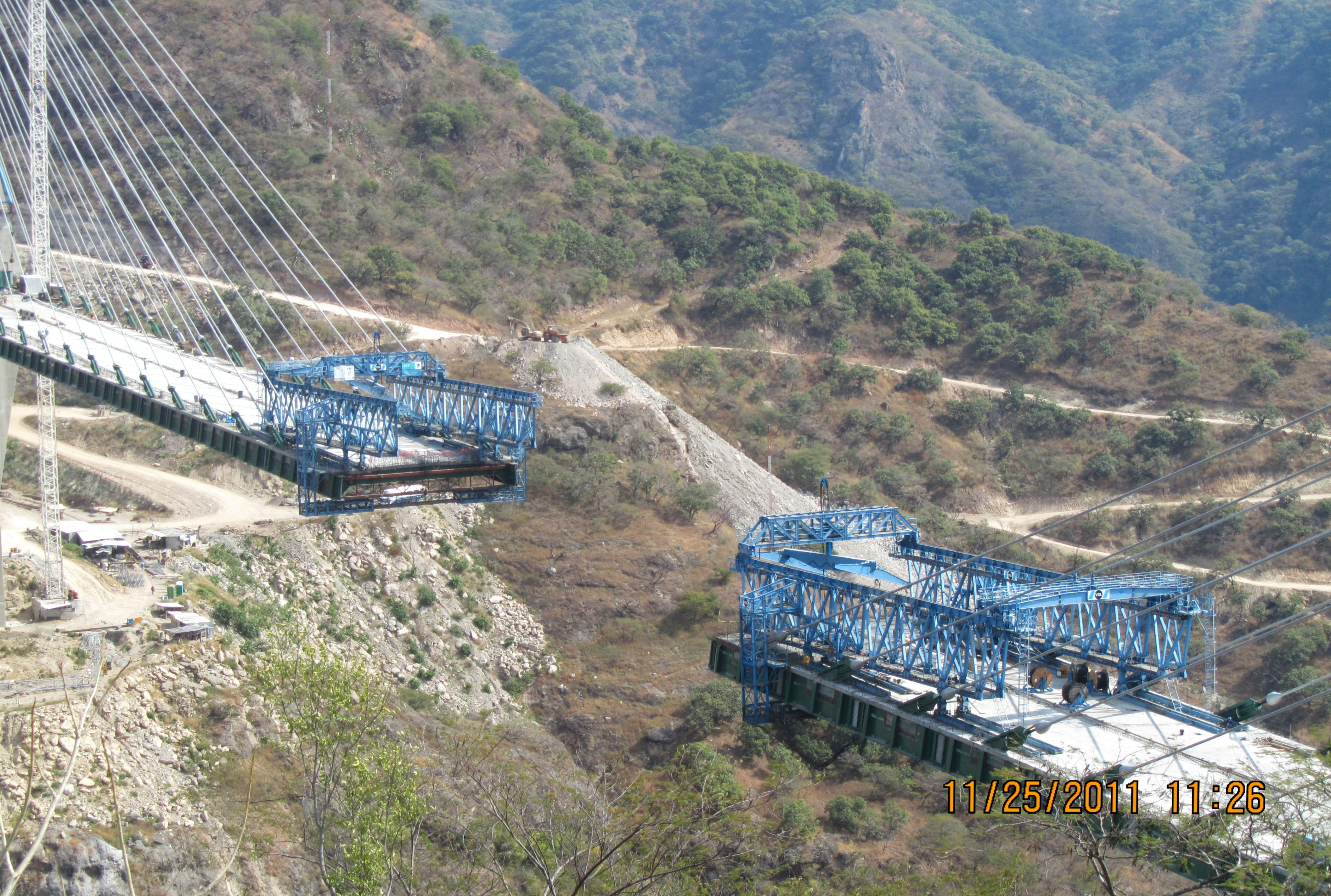
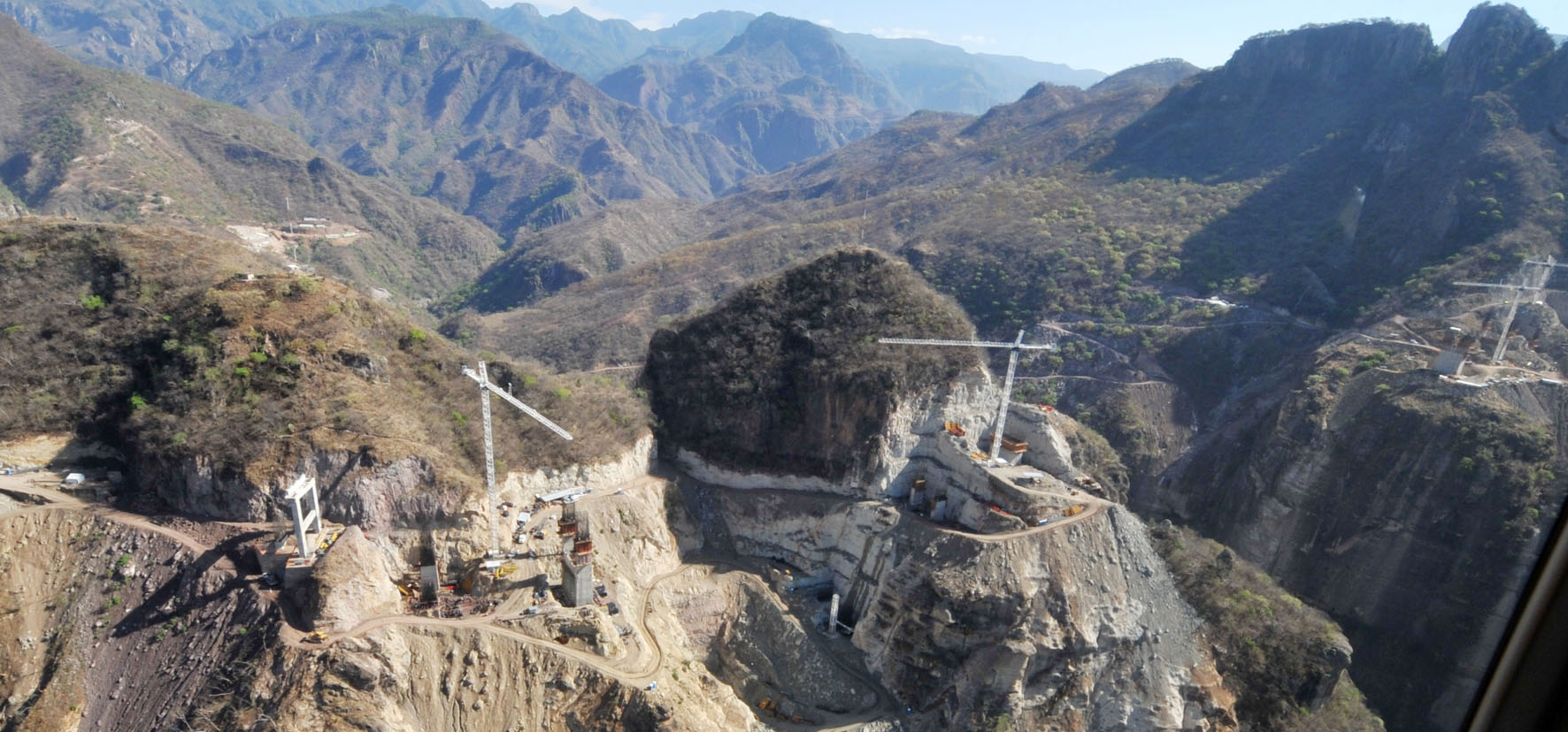
Baluarte Bridge aerial image by Tradeco.
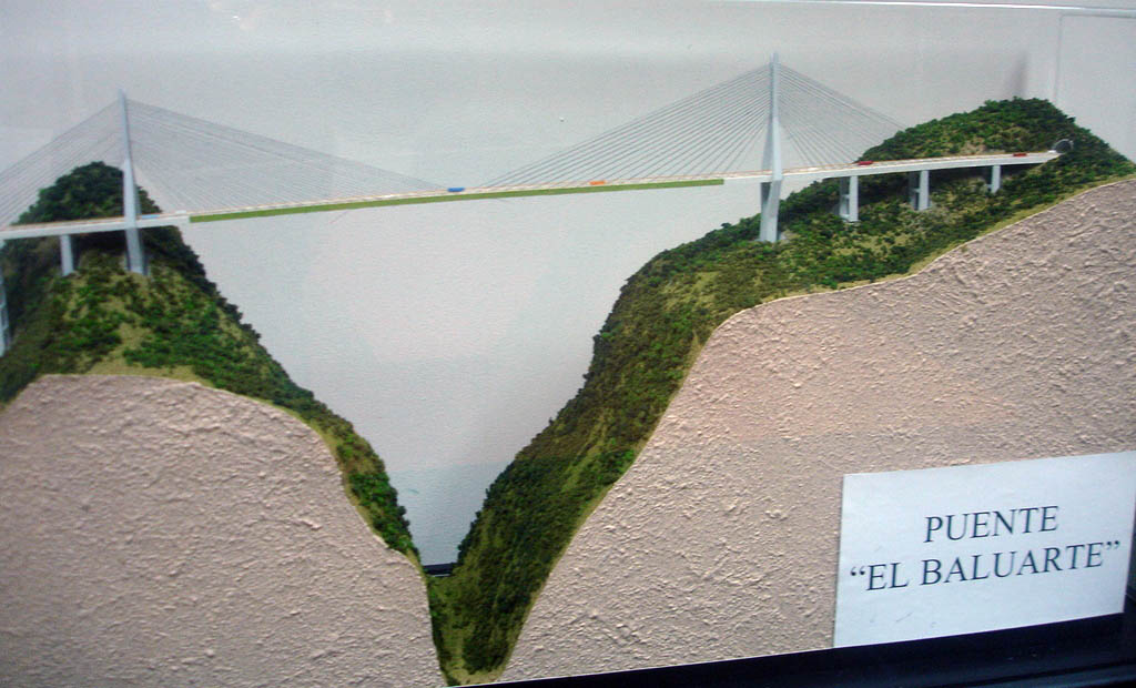
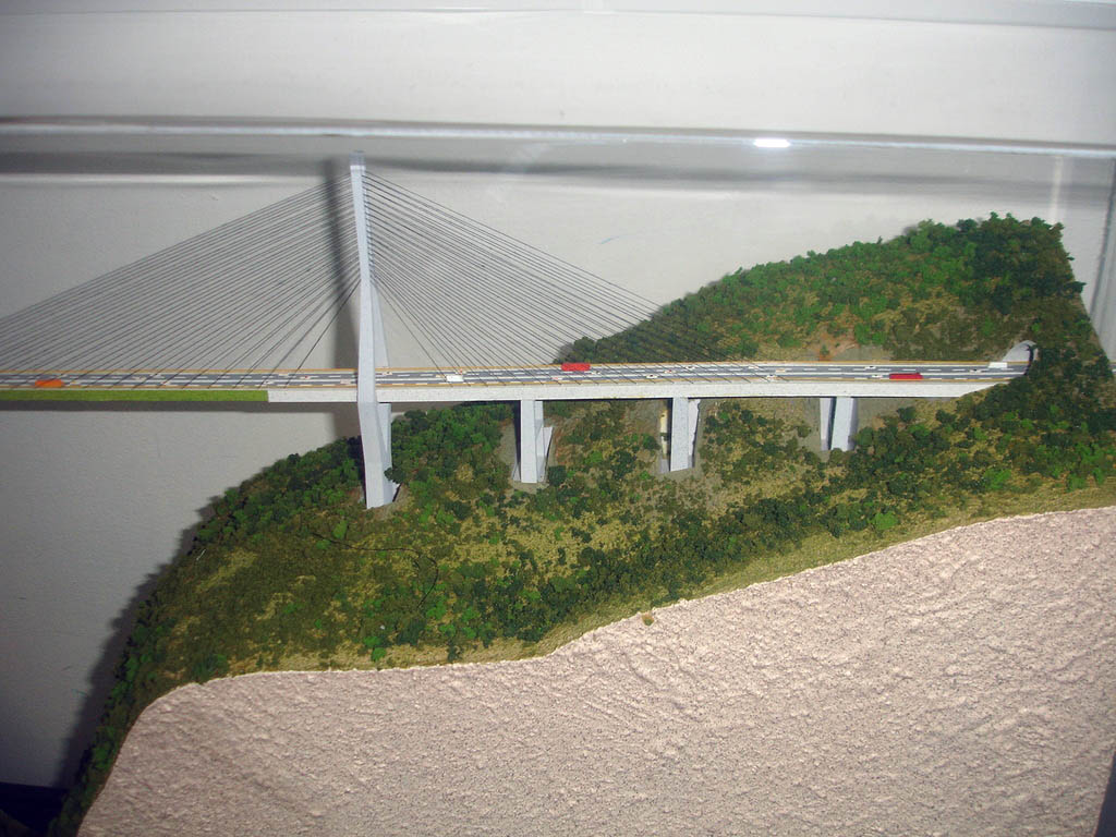
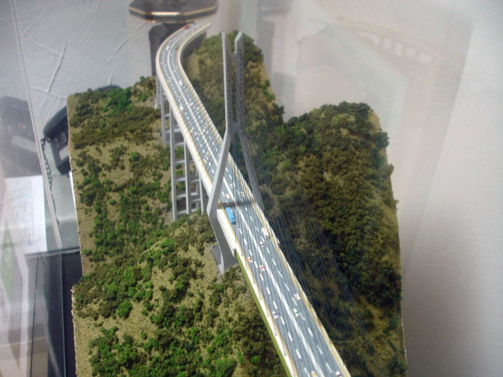
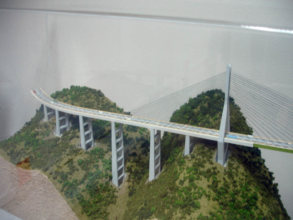
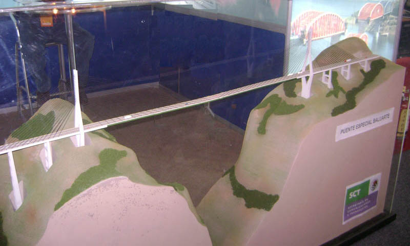
Modelo del Puente Baluarte. Baluarte Bridge model.
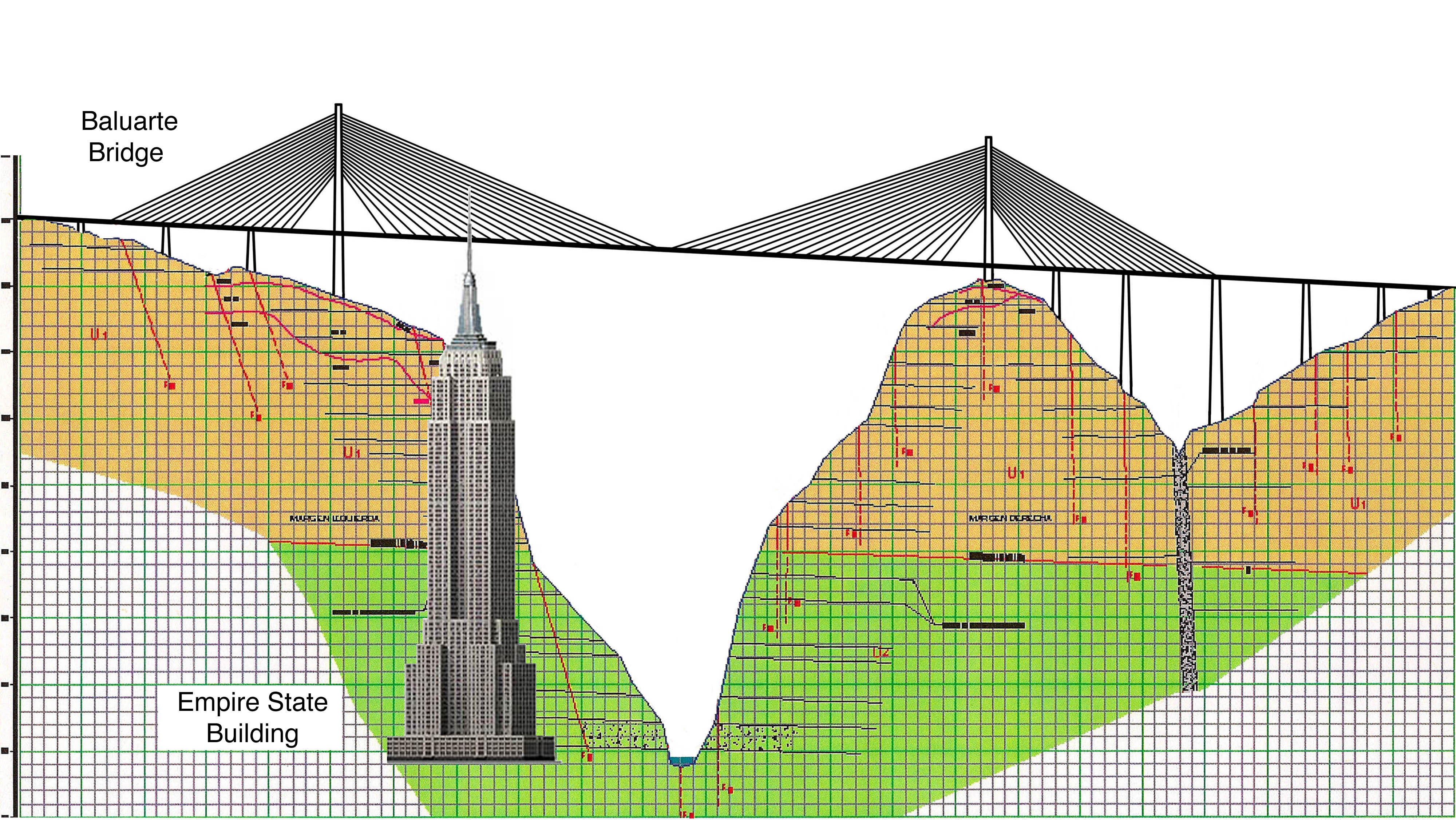
Puente Baluarte y el Empire State comparación Creación de tamaño. El dibujo también muestra la ubicación de las perforaciones de prueba subterránea para comprobar la geología de la roca. Cada cuadrado es de 33 pies de altura o el equivalente a un edificio de apartamentos de tres pisos.
Baluarte Bridge and Empire State Building size comparison. The drawing also shows the location of underground test borings to check the geology of the rock. Each square is 33 feet high or the equivalent of a 3-story apartment building.
Pier 5 es el más alto de todos con una altura de 169 metros. El tramo principal será el más largo de cualquier puente atirantado en Norteamérica en 520 metros.
Pier 5 is the tallest of all with a height of 554 feet (169 mtrs). The main span will be the longest of any cable stayed bridge in North America at 1,706 feet (520 mtrs). Image by Grupo Triada / Owner SCT
Image by SCT
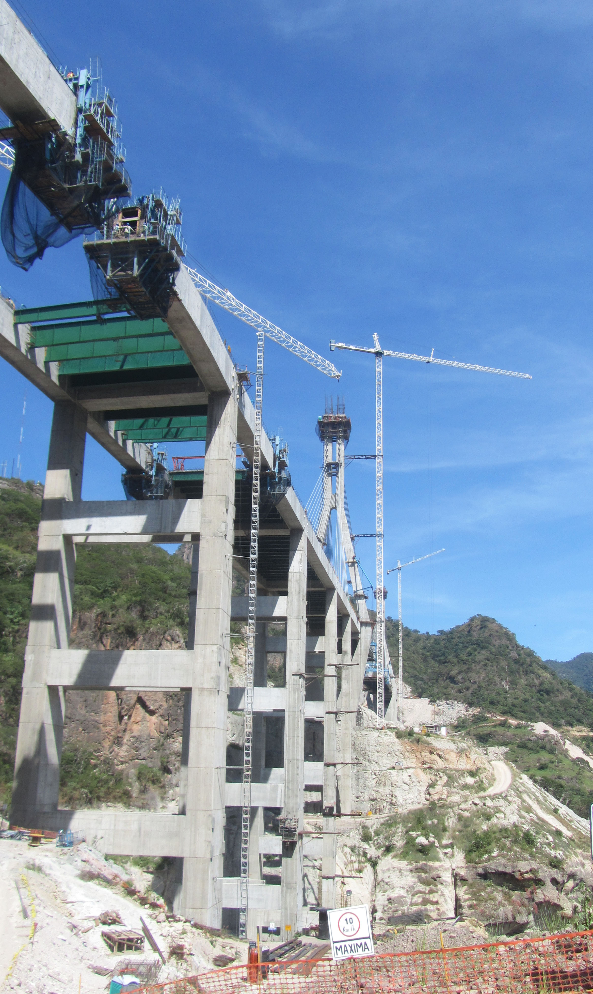
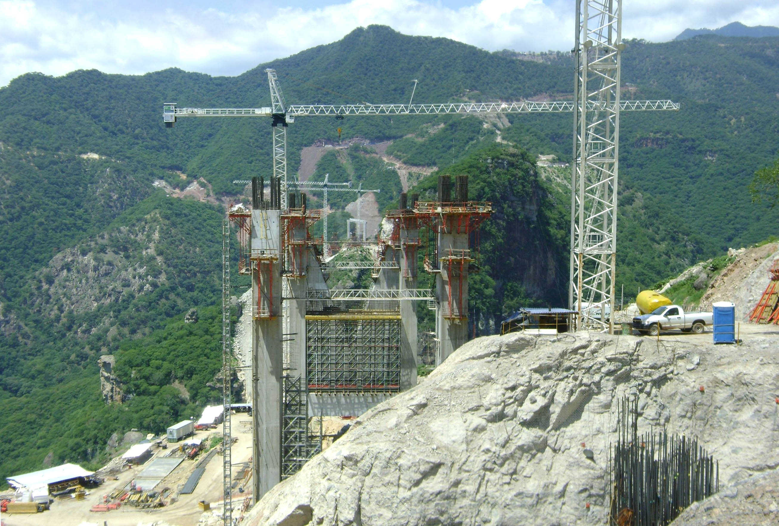
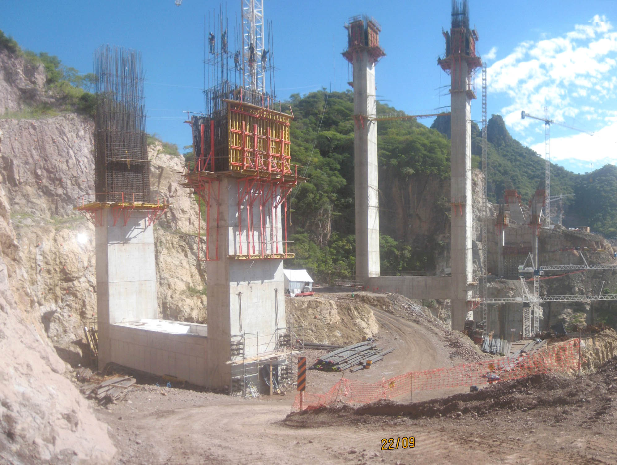
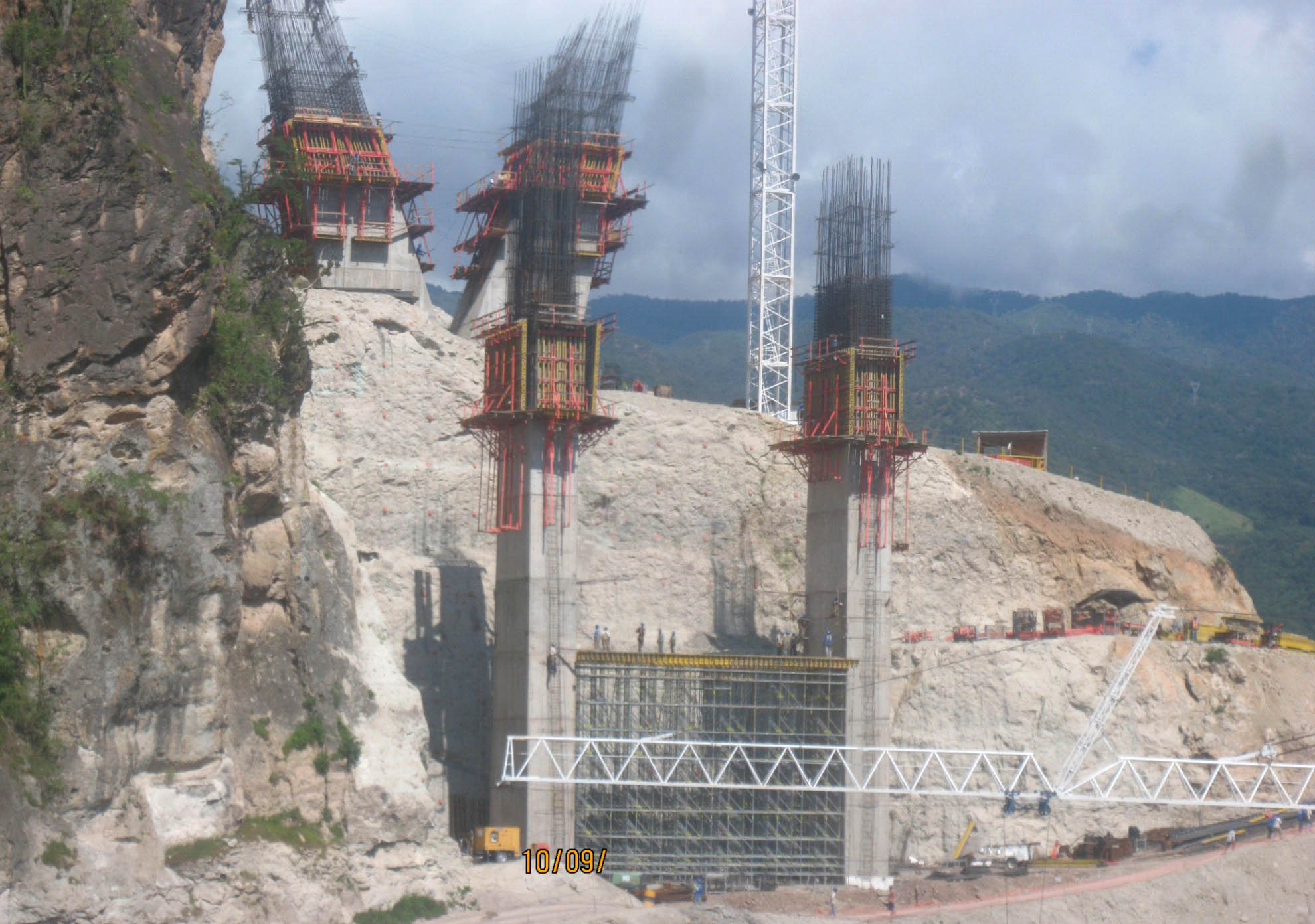
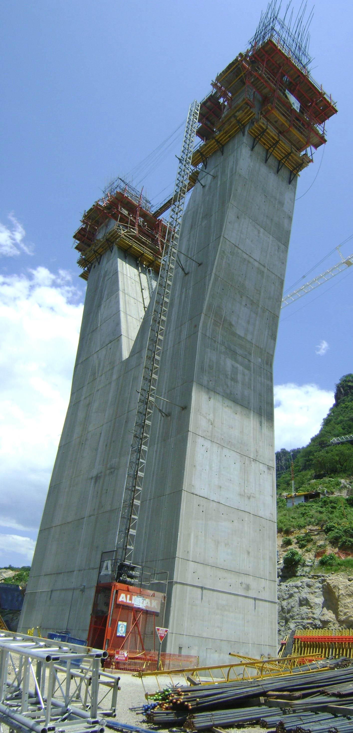
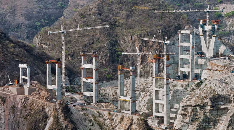
En el lado Durango, Piers 3 y 4 lugar en el primer plano con la ayuda de una red densa de andamios.
On the Durango side, Piers 3 and 4 rise in the foreground with the help of a dense lattice of scaffolding. Image by Grupo Triada / Owner SCT
Image by Grupo Triada / Owner SCT
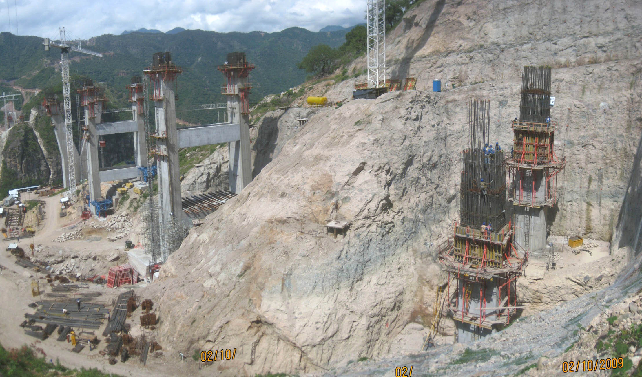
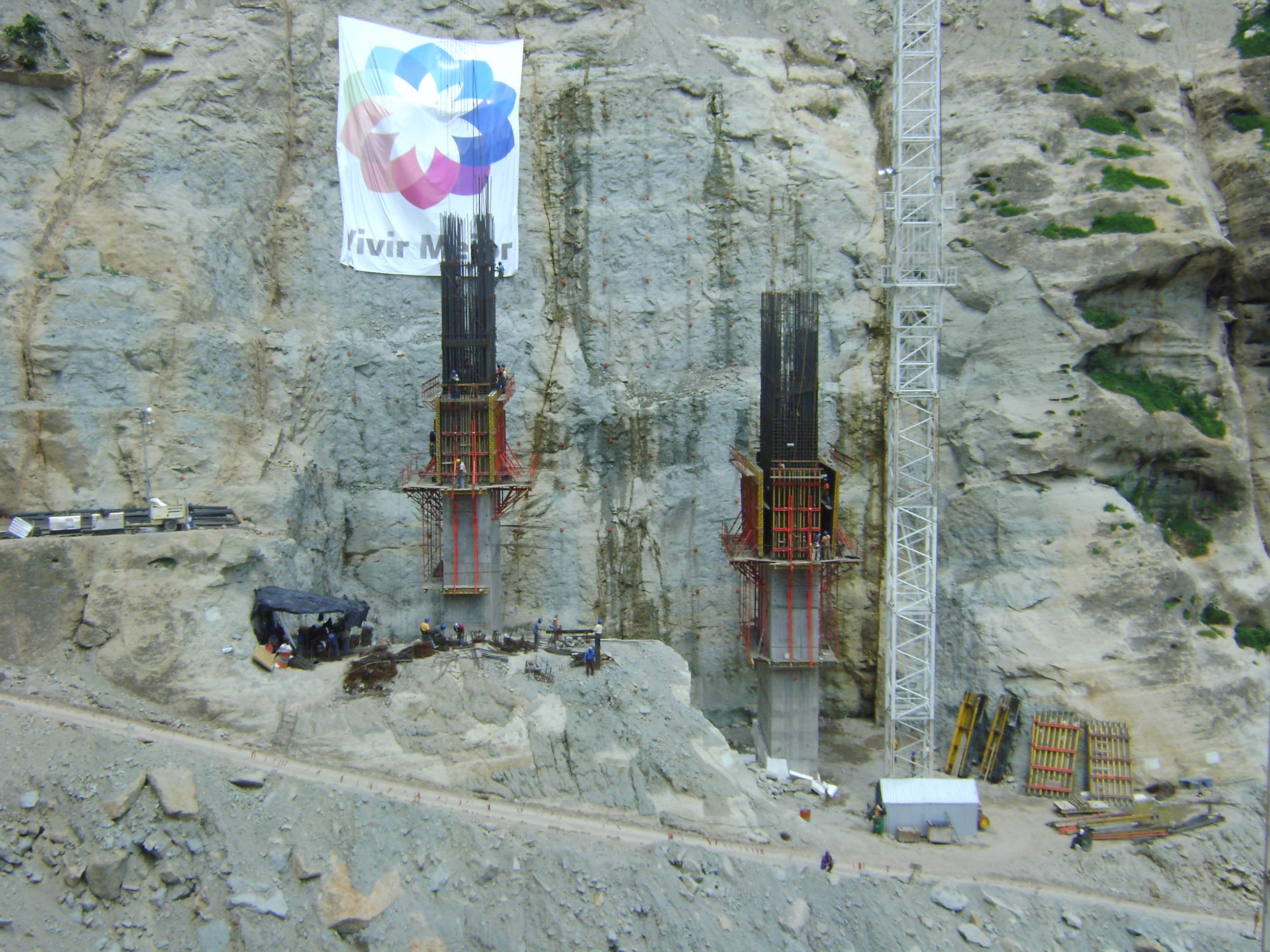
A los trabajadores adecuados atar barras de refuerzo por encima de la base del muelle 2.
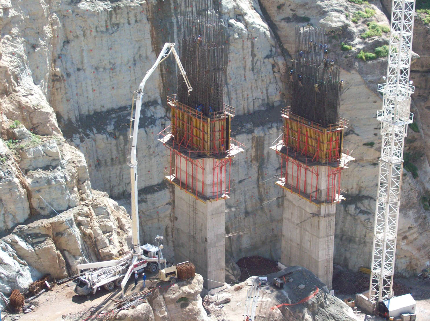
On the right workers tie rebar high above the foundation of pier 2. Image by Grupo Triada / Owner SCT
Una vista del muelle 3.
A view of pier 3. Image by Grupo Triada / Owner SCT
Image by Grupo Triada / Owner SCT
Un gran agujero fue excavado por muelle 8, que tiene uno de los más profundos cimientos del puente.
A huge hole was dug for pier 8 which has one of the deepest foundations of the bridge. Image by Grupo Triada / Owner SCT
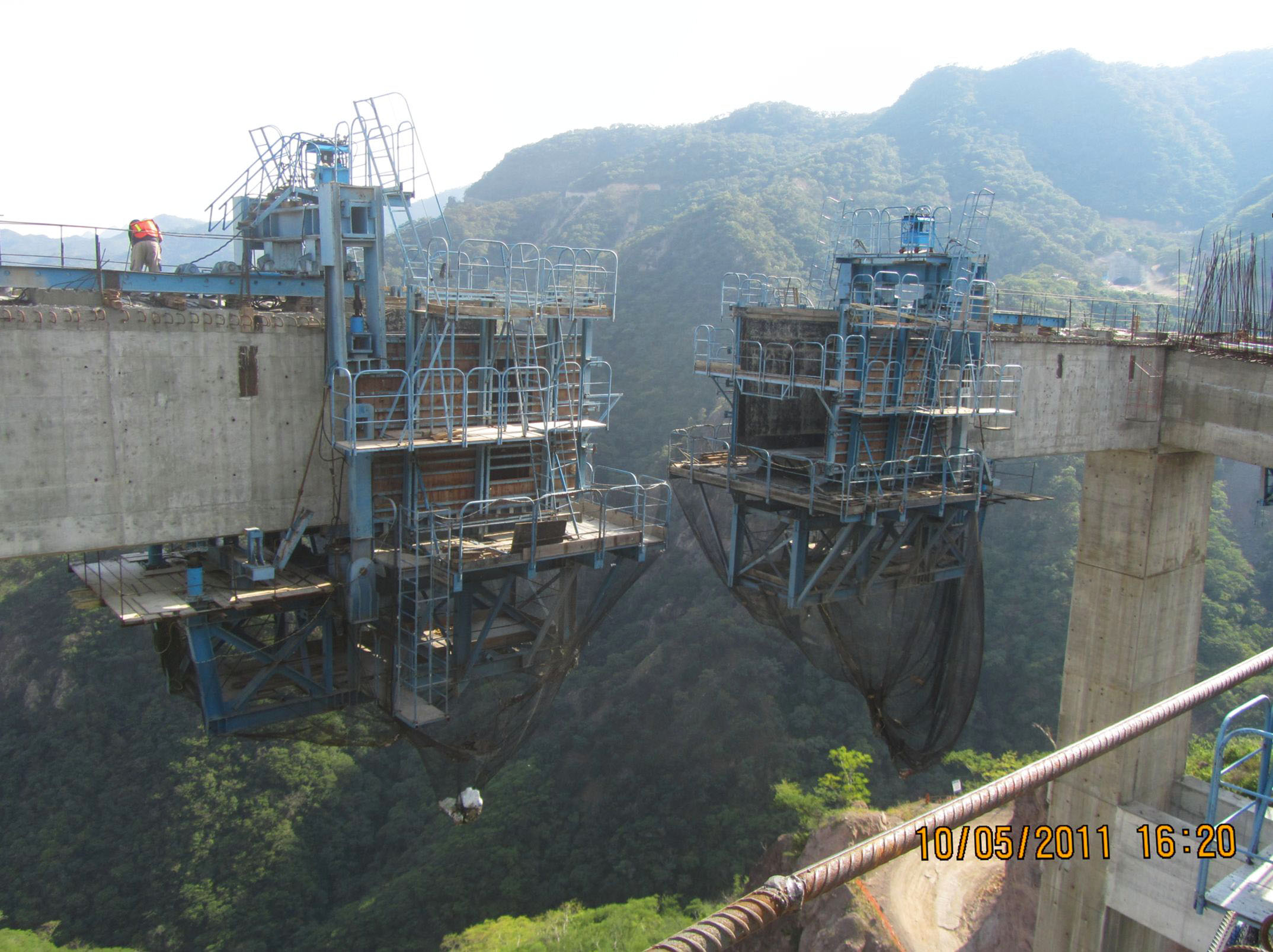
En el extremo occidental del lado de Sinaloa, los trabajadores cuelgan por encima de muelle 11.
On the western end of the Sinaloa side, workers hang high above pier 11. Image by Grupo Triada / Owner SCT
Otra vista del muelle 8.
Another view of pier 8. Image by Grupo Triada / Owner SCT
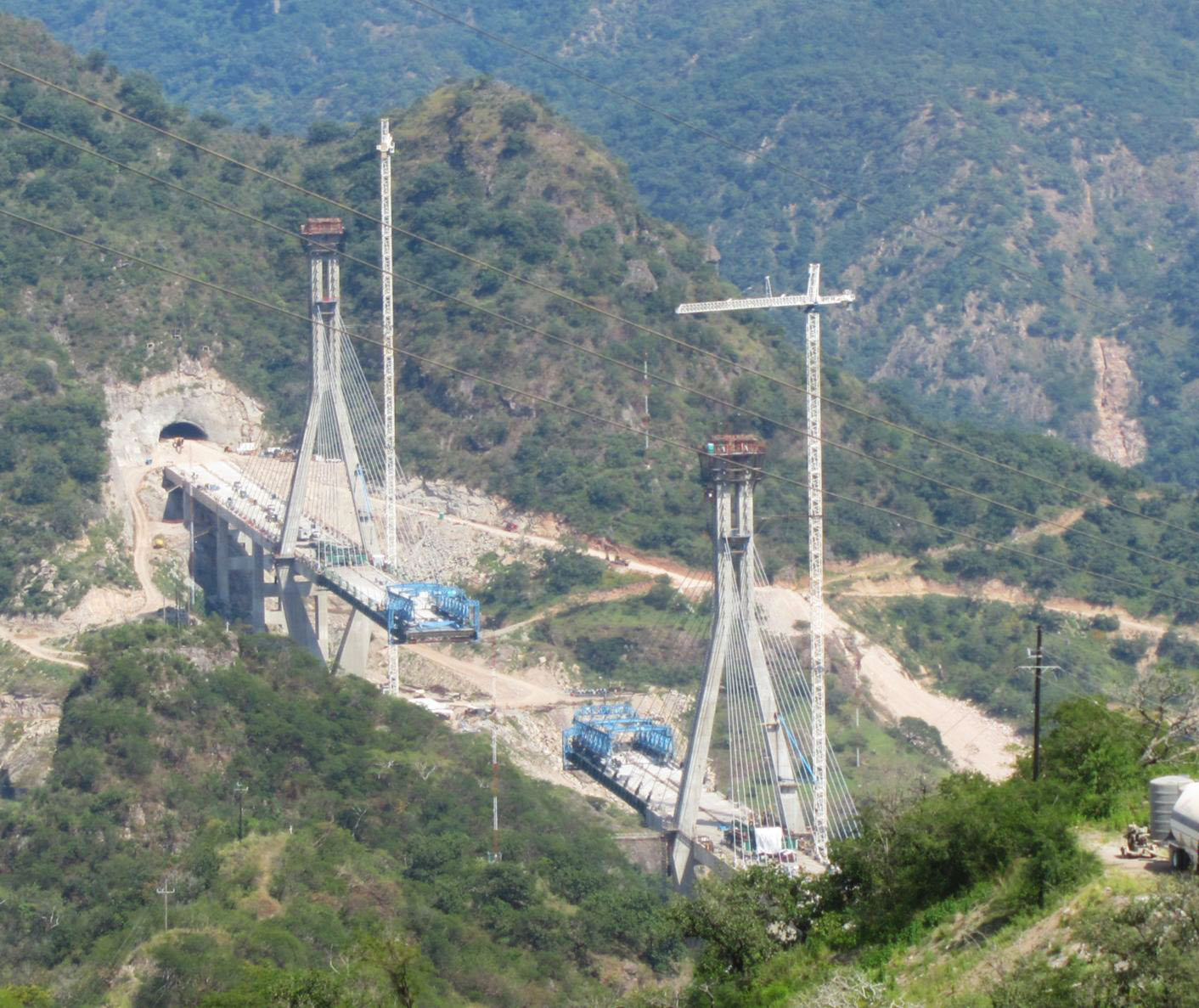
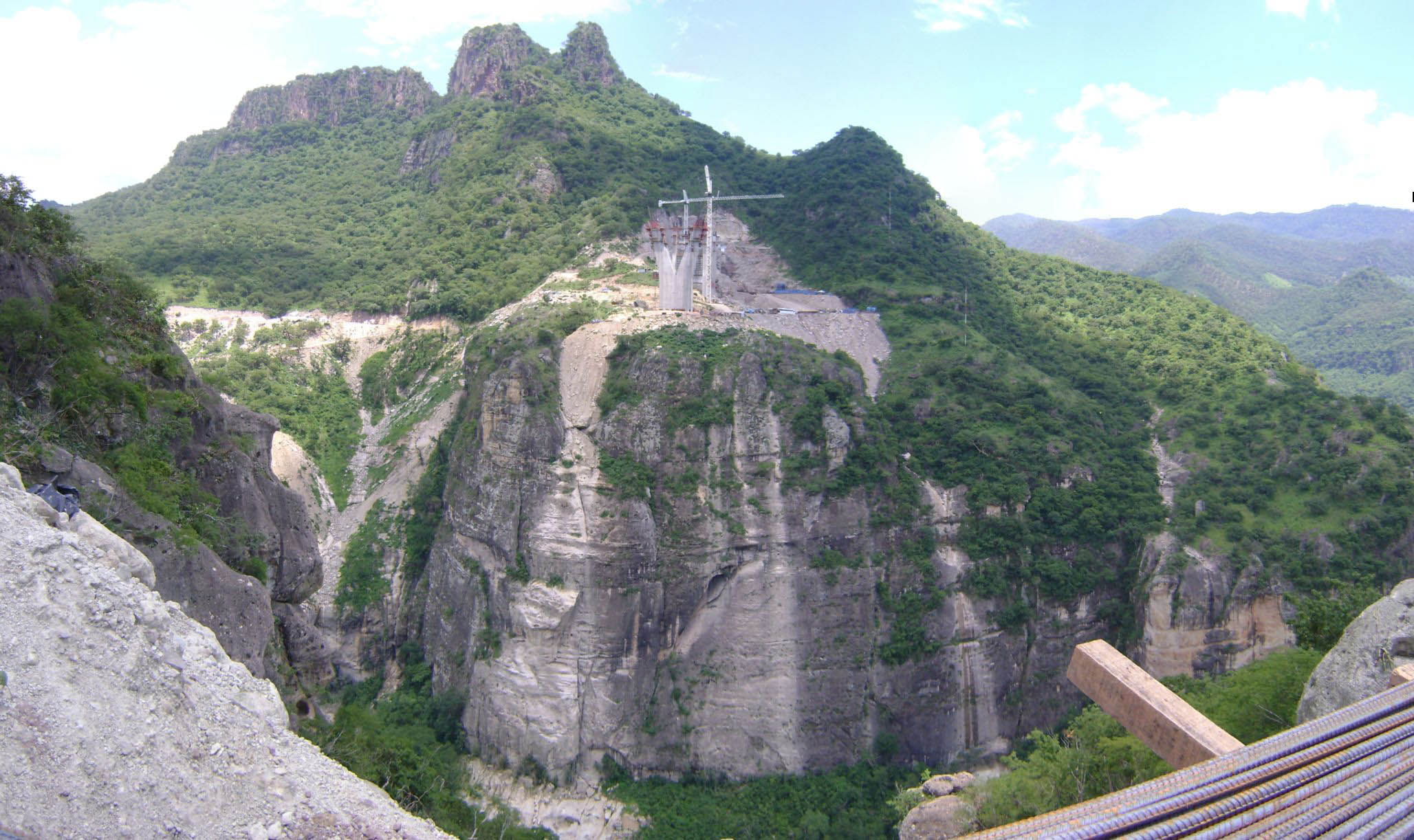
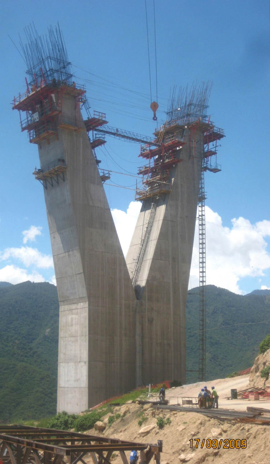
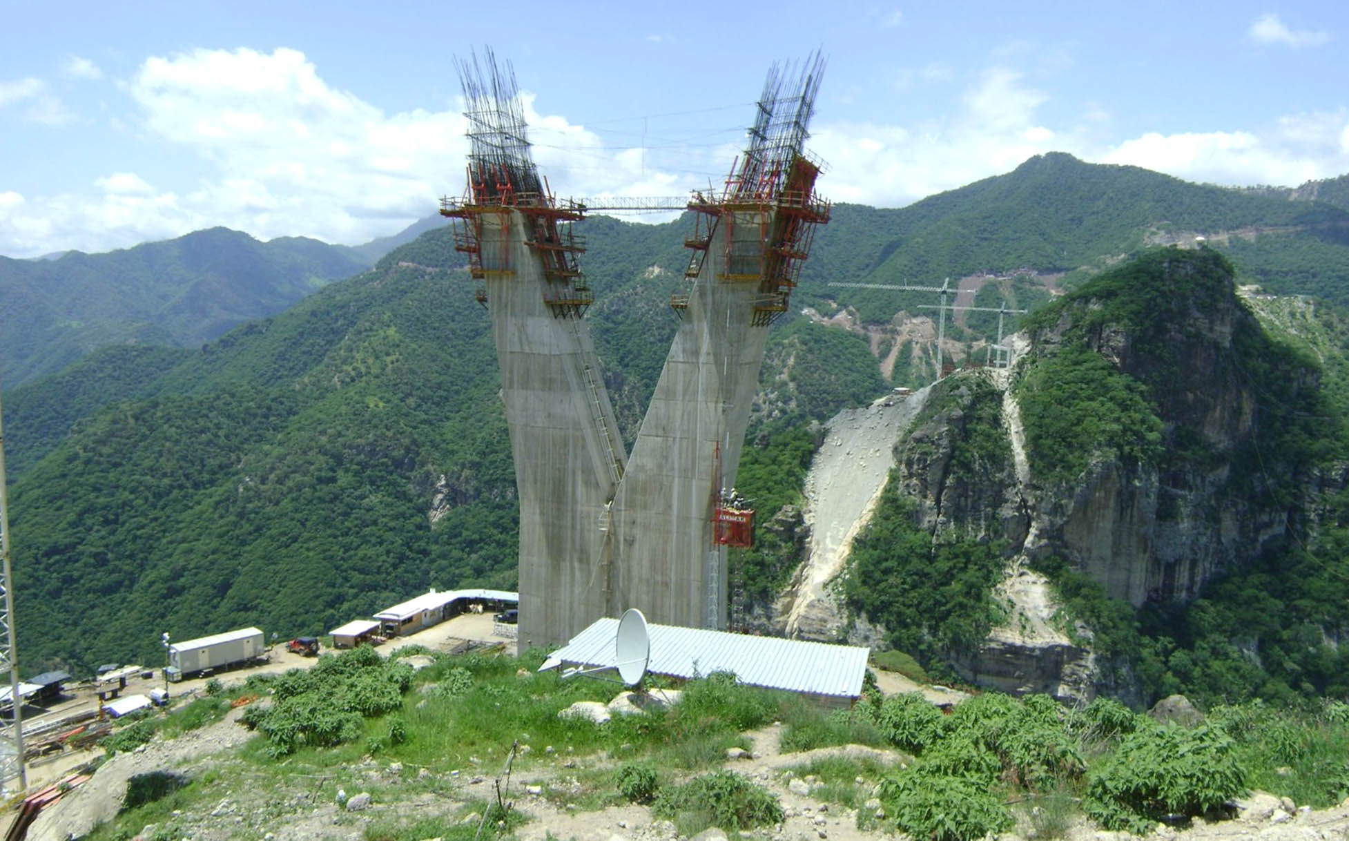
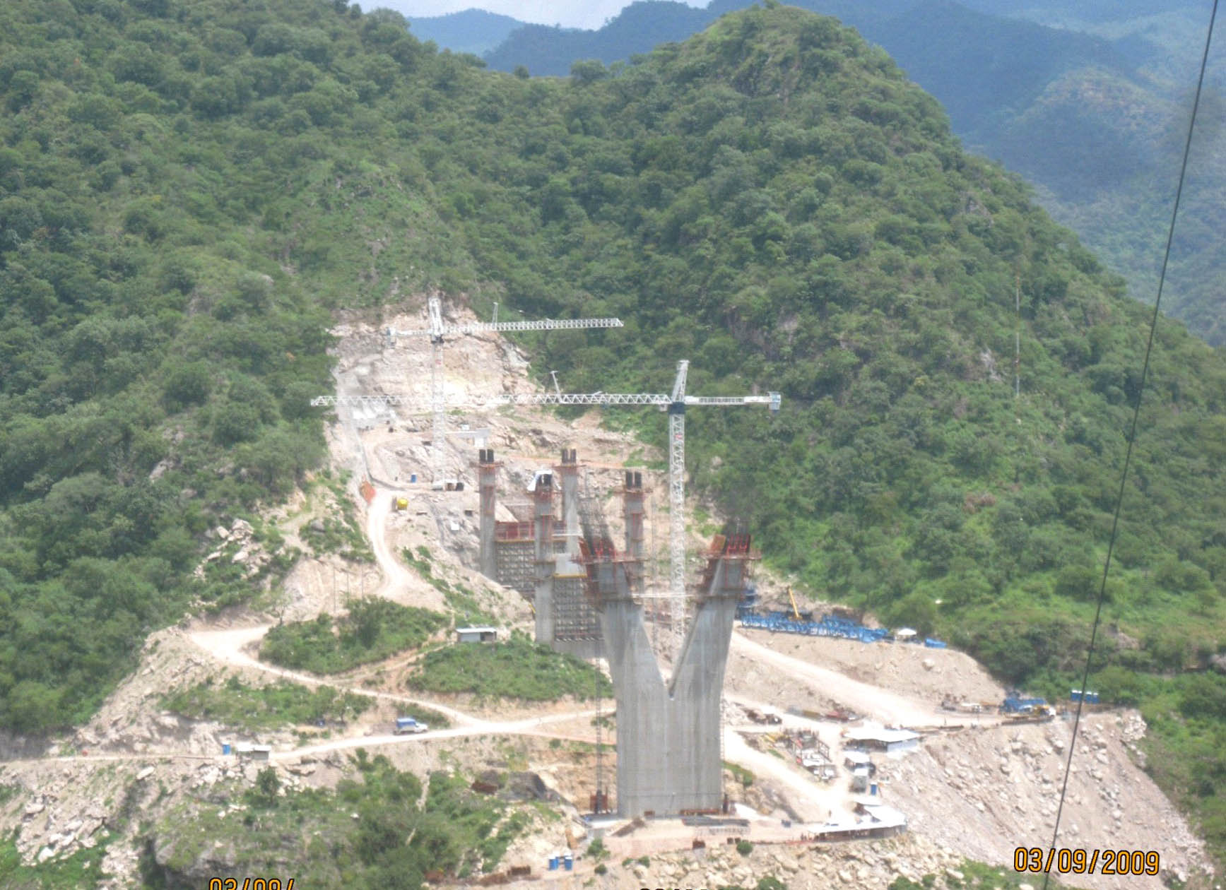
El apoyo en forma de "V" de la torre más corta principal en el lado de Sinaloa toma forma alta en el borde de la quebrada.
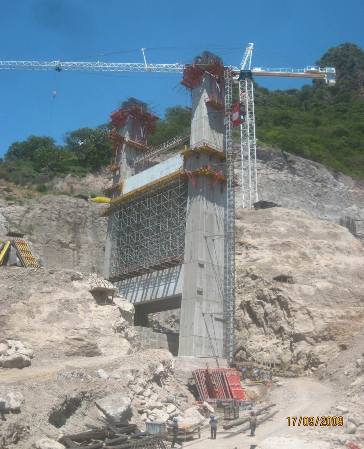
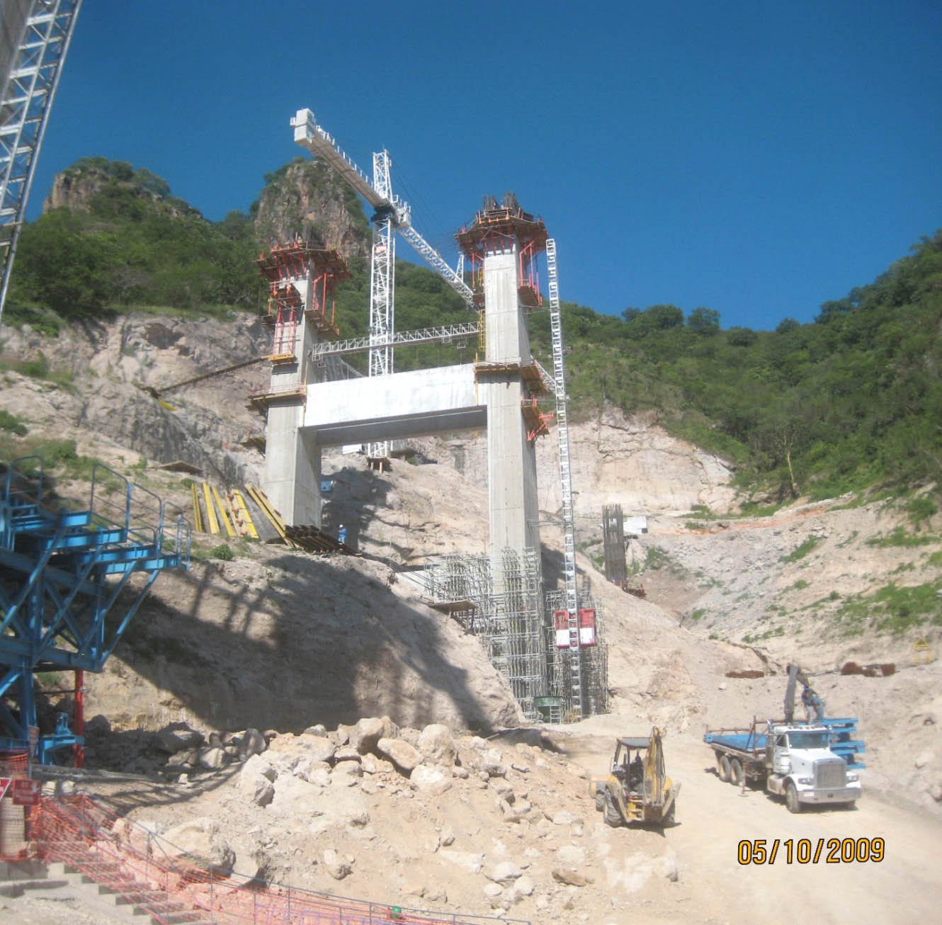
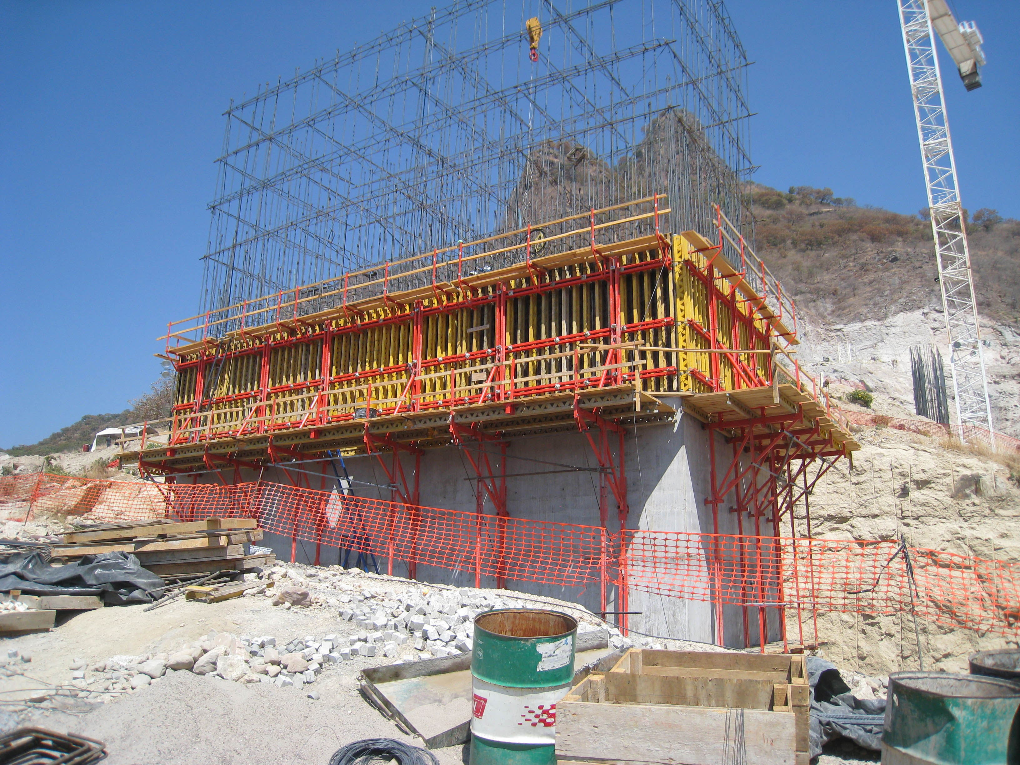
The V-shaped support of the shorter main tower on the Sinaloa side takes shape high up on the edge of the gorge. Image by Grupo Triada / Owner SCT
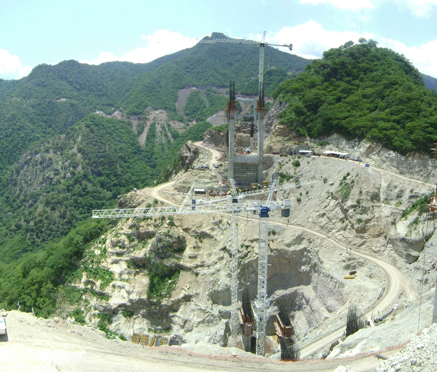
Oficina de trabajo temporal y los edificios alrededor de la base de la torre principal en el lado de Durango.
Temporary office and work buildings surround the base of the main tower on the Durango side. Image by Grupo Triada / Owner SCT
Image by Grupo Triada / Owner SCT
Las luces de aproximación en el lado occidental de Sinaloa cruzar un cañón de más de 140 metros de profundidad. Si aparece como un puente separado, se ubicaría entre los 10 puentes más altos de México.
The western approach spans on the Sinaloa side cross a canyon more than 459 feet (140 mtrs) deep. If listed as a separate bridge, it would rank among Mexico's 10 highest bridges. Image by Grupo Triada / Owner SCT
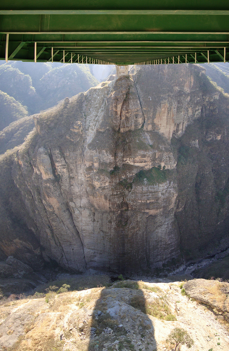
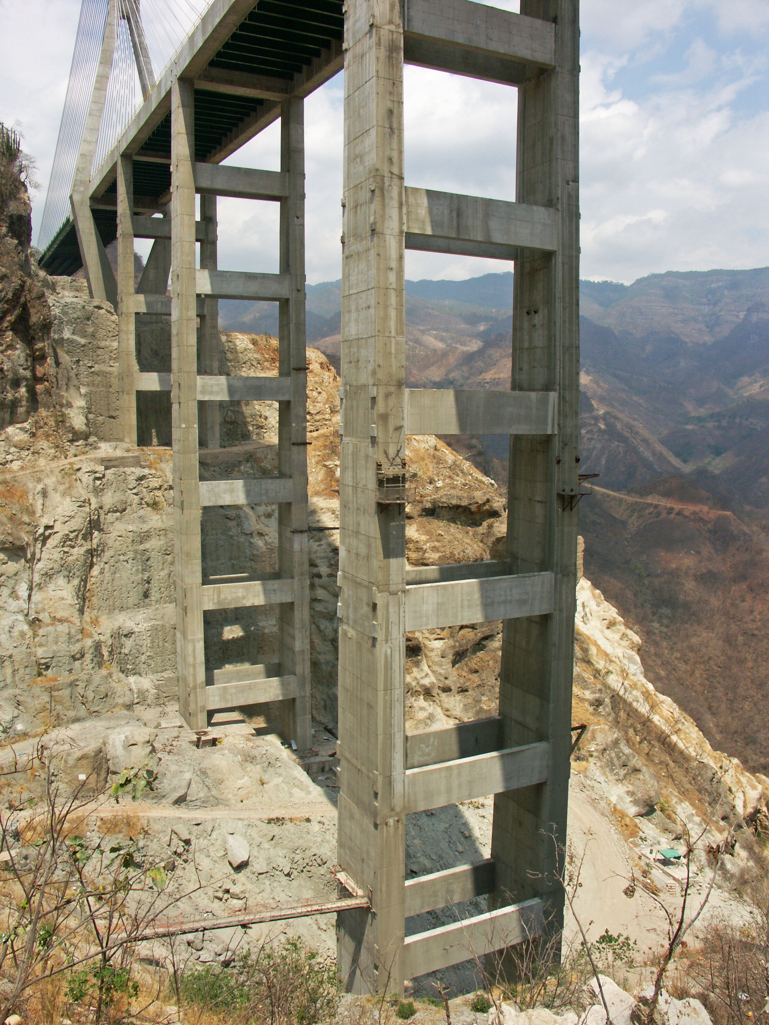
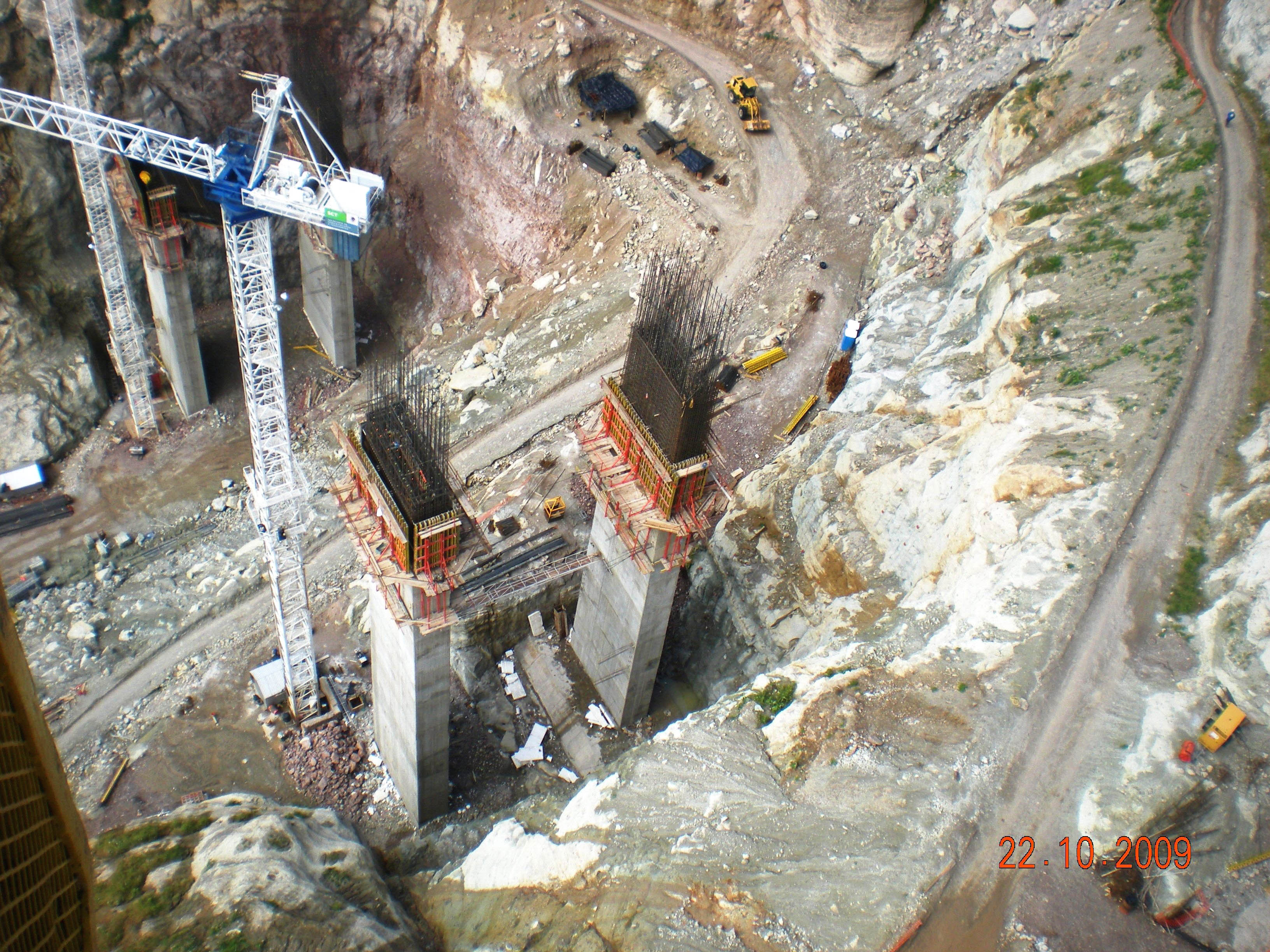
Mirando hacia abajo a la parte inferior de la pata 140 metros de profundidad del cañón y muelles 8 y 9.
Looking down to the bottom of the 459 foot (122 mtr) deep canyon and piers 8 and 9. Image by Grupo Triada / Owner SCT
Una vista del muelle 10 en el lado de Sinaloa.
A view of pier 10 on the Sinaloa side. Image by Grupo Triada / Owner SCT
Image by Peri.dk.
Un limpio pared de roca marca el lugar donde el túnel lateral Durango atravesar la montaña.
A clean rock face marks the spot where the Durango side tunnel will punch through the mountain. Image by Grupo Triada / Owner SCT
Image by Grupo Triada / Owner SCT
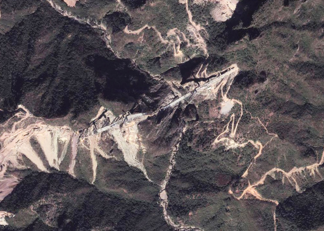
Una vista de la construcción temprana antes de que los muelles se había elevado por encima del suelo.
An early construction view before the piers had risen above the ground. Image by Tradeco
Puente Baluarte modelo. Baluarte Bridge model.
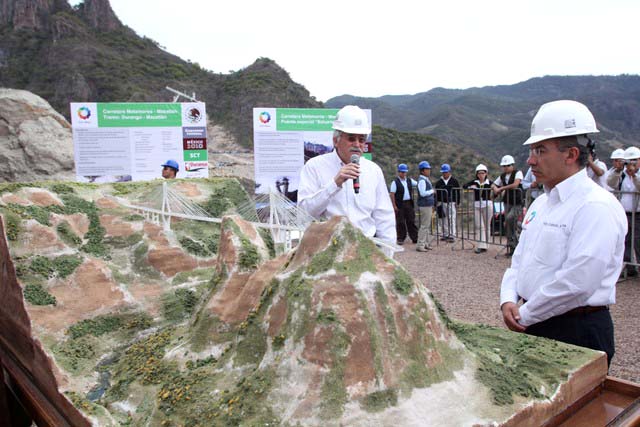
Puente Baluarte modelo y Presidente Felipe Calderón.
Baluarte Bridge model and President Felipe Calderón.
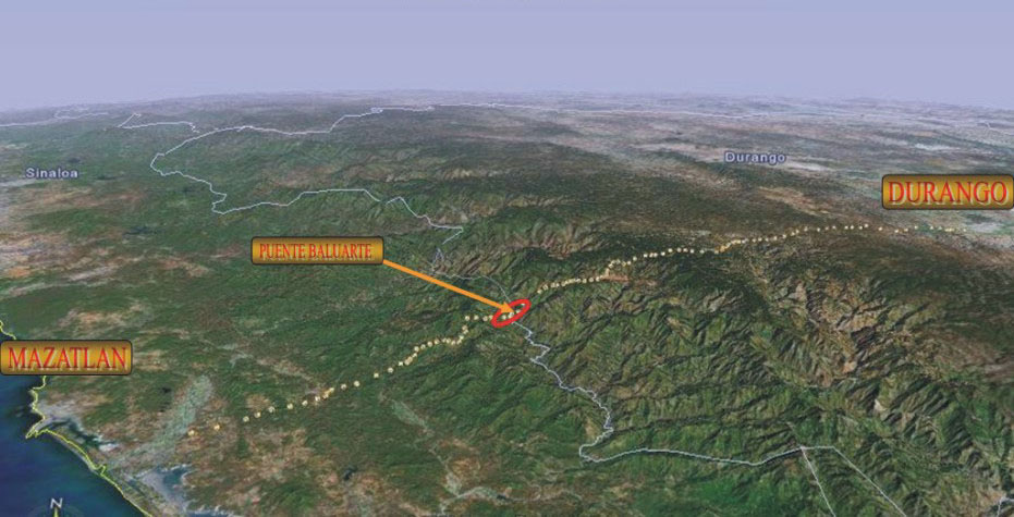
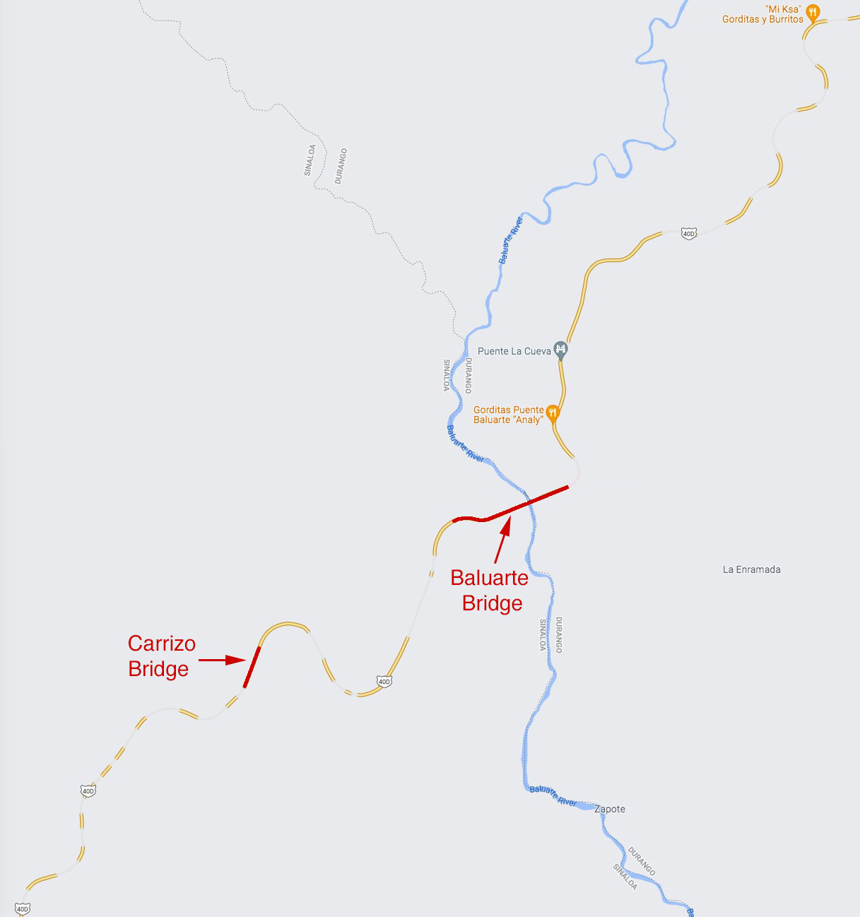
Mapa de ruta de la autopista Durango-Mazatlán y el puente sobre el río Baluarte ubicación.
Map of Durango-Mazatlan Highway route and the Baluarte River bridge location.
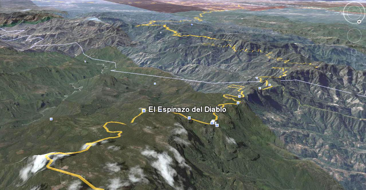
Imagen topográfico de la carretera Troncal del Diablo original.
Topographic Image of the original Devil's Backbone road.
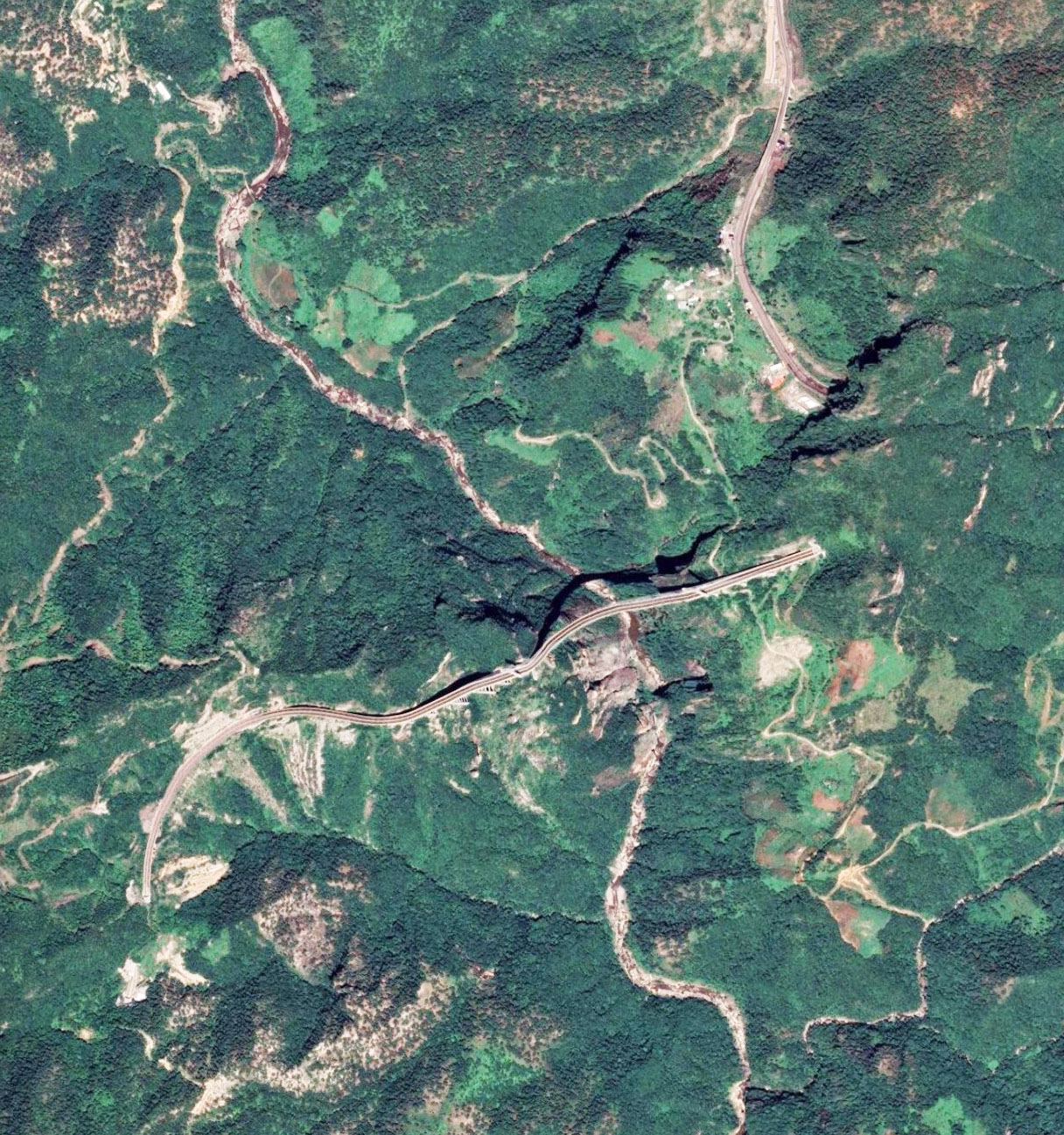
Imagen de satélite del Baluarte puente.
Satellite image of Baluarte bridge.
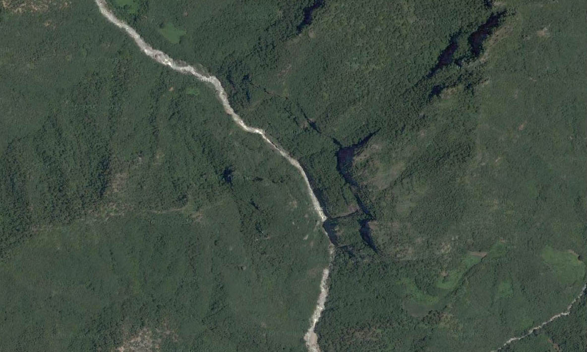
Puente Baluarte antes de la construcción comenzó.
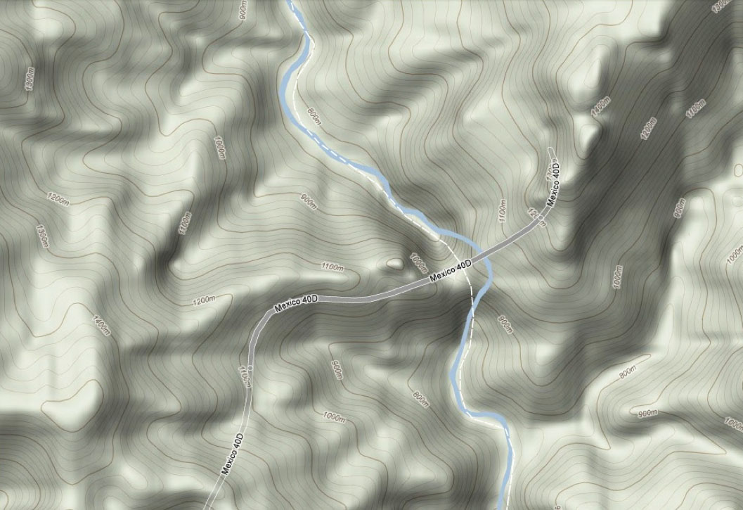
Mapa topográfico de la travesía Baluarte Bridge.
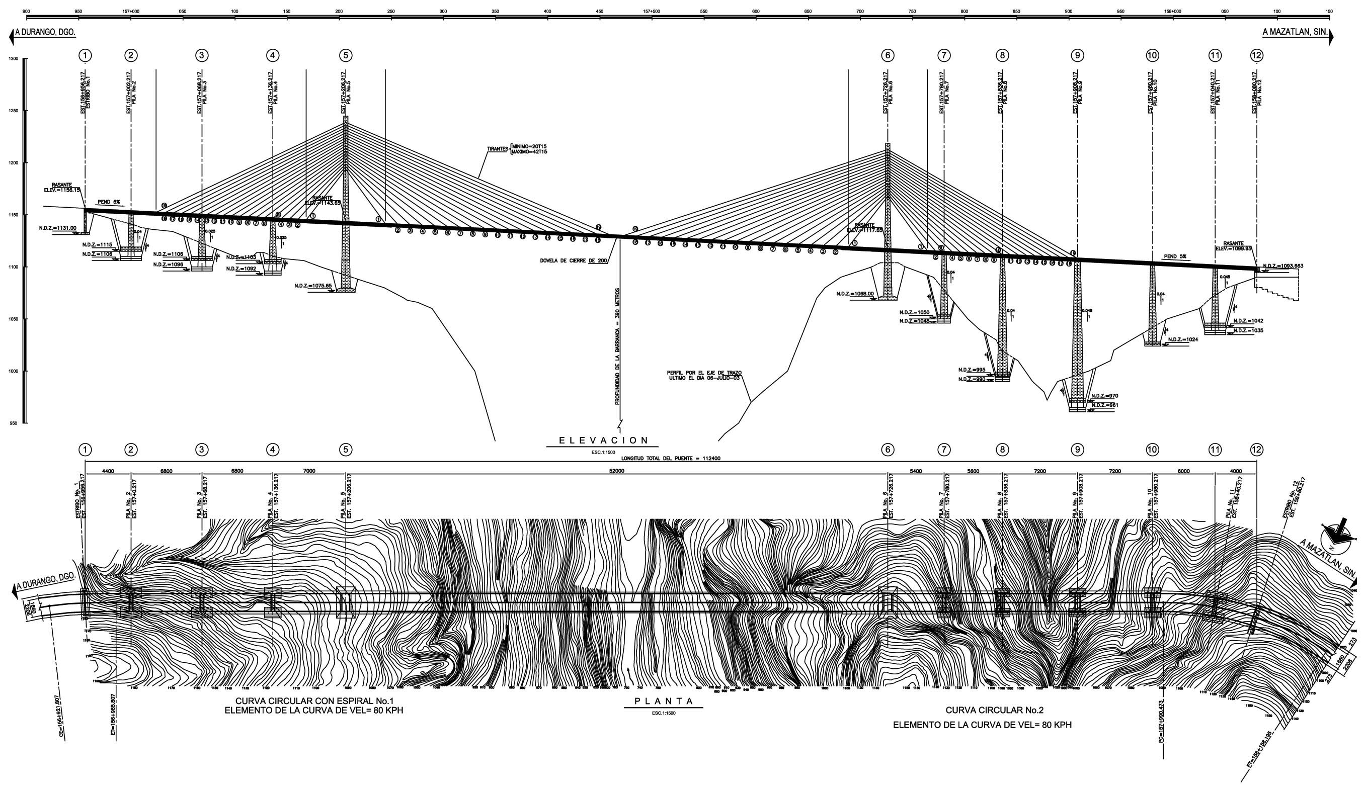
Topographic plan of the Baluarte Bridge crossing.
Baluarte Bridge LocationMap.jpg
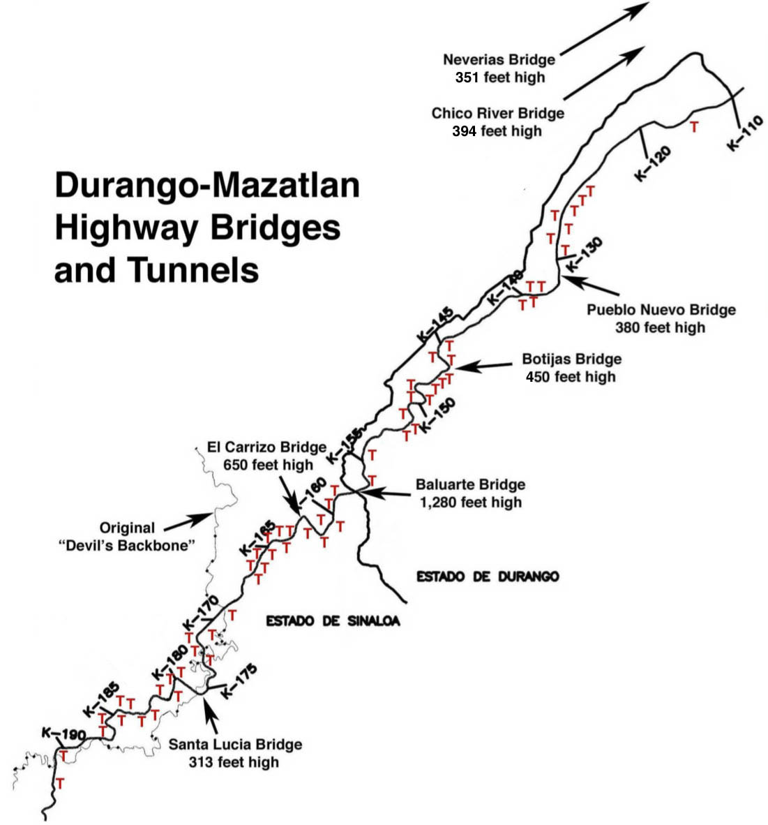
Mapa de la carretera Durango-Mazatlán que muestra la ubicación de los puentes más altos 7 y 59 de los túneles 61. El Neverías y Río Chico puentes fueron terminados entre 2005 y 2008 y están abiertas al tráfico. El resto de la carretera se abrirá en 2013.
Map of the Durango-Mazatlan highway showing the location of the 7 highest bridges and 59 of the 61 tunnels. The Neverías and Rio Chico bridges were completed between 2005 and 2008 and are open to traffic. The rest of the highway will open in 2013.
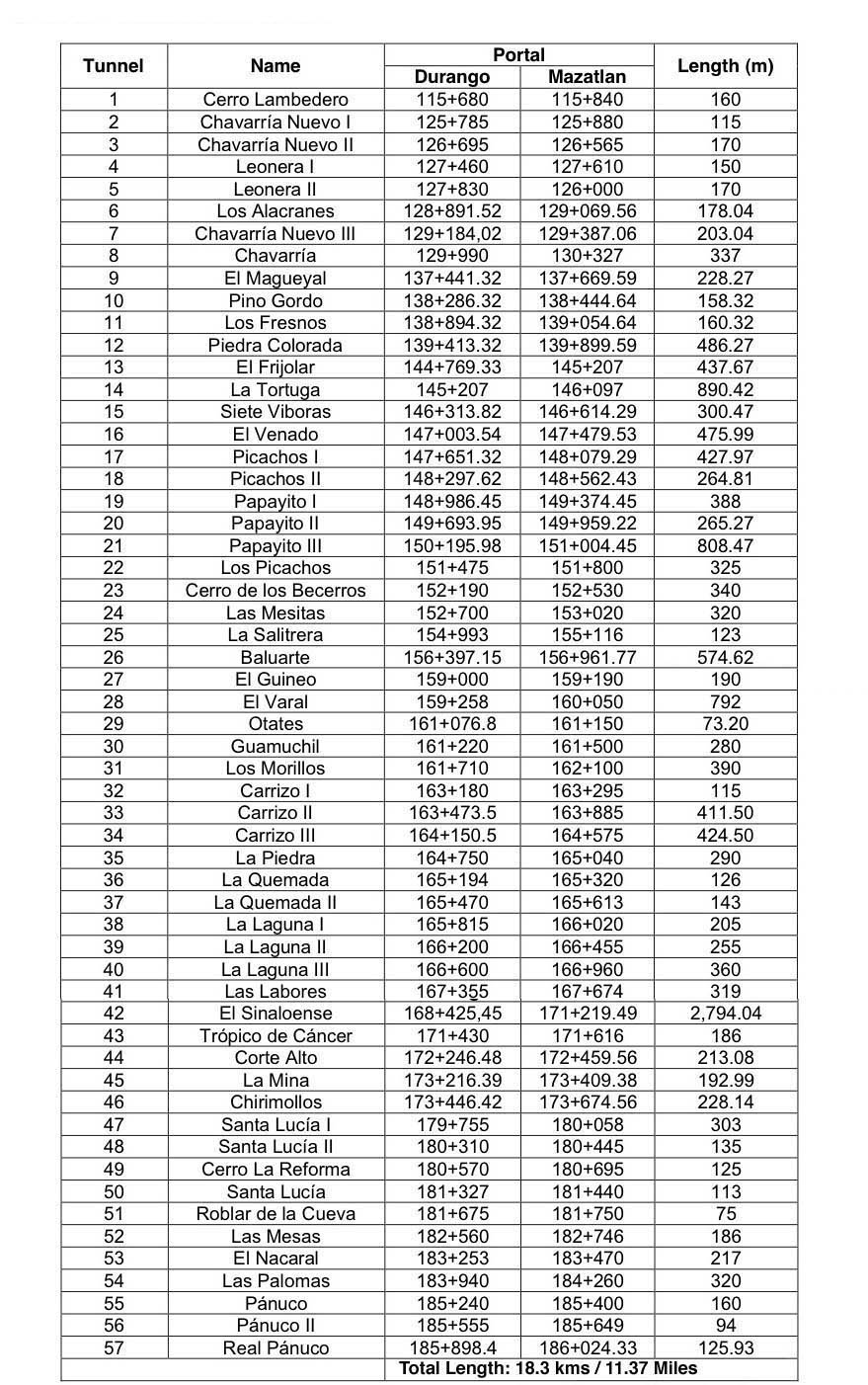
The central 44 mile (70 km) stretch of highway will have more than 11 miles (18 kms) of tunnels! The most tunneled U.S. highway - The Pennsylvania Turnpike - has only 4 miles.
