Difference between revisions of "Cimarron Bridge"
| Line 10: | Line 10: | ||
| − | The El Cimarrón Bridge is the second highest beam bridge on the Xalapa Bypass highway that opened in late 2012. By cutting a new route north of the capital city of Veracruz, travelers can avoid the congested, dangerous and slow moving 2-lane road. The new route 140 breaks off from original Veracruz-Xalapa highway about 20 kilometers east of the city, crossing several small canyons before a long elevation rise to the highlands northwest of Xalapa and the small city of Perote where the route continues on to Puebla and Mexico City. The new route offers a relief to those who live along the main Avenida Lazaro Cardenas in downtown Xalapa where trucks and other heavy vehicles were a common site on the way to Mexico City or Veracruz. | + | The El Cimarrón Bridge is the second highest beam bridge on the Xalapa Bypass highway that opened in late 2012. By cutting a new route north of the capital city of Veracruz, travelers can avoid the congested, dangerous and slow moving 2-lane road. The new route 140 breaks off from the original Veracruz-Xalapa highway about 20 kilometers east of the city, crossing several small canyons before a long elevation rise to the highlands northwest of Xalapa and the small city of Perote where the route continues on to Puebla and Mexico City. The new route offers a relief to those who live along the main Avenida Lazaro Cardenas in downtown Xalapa where trucks and other heavy vehicles were a common site on the way to Mexico City or Veracruz. |
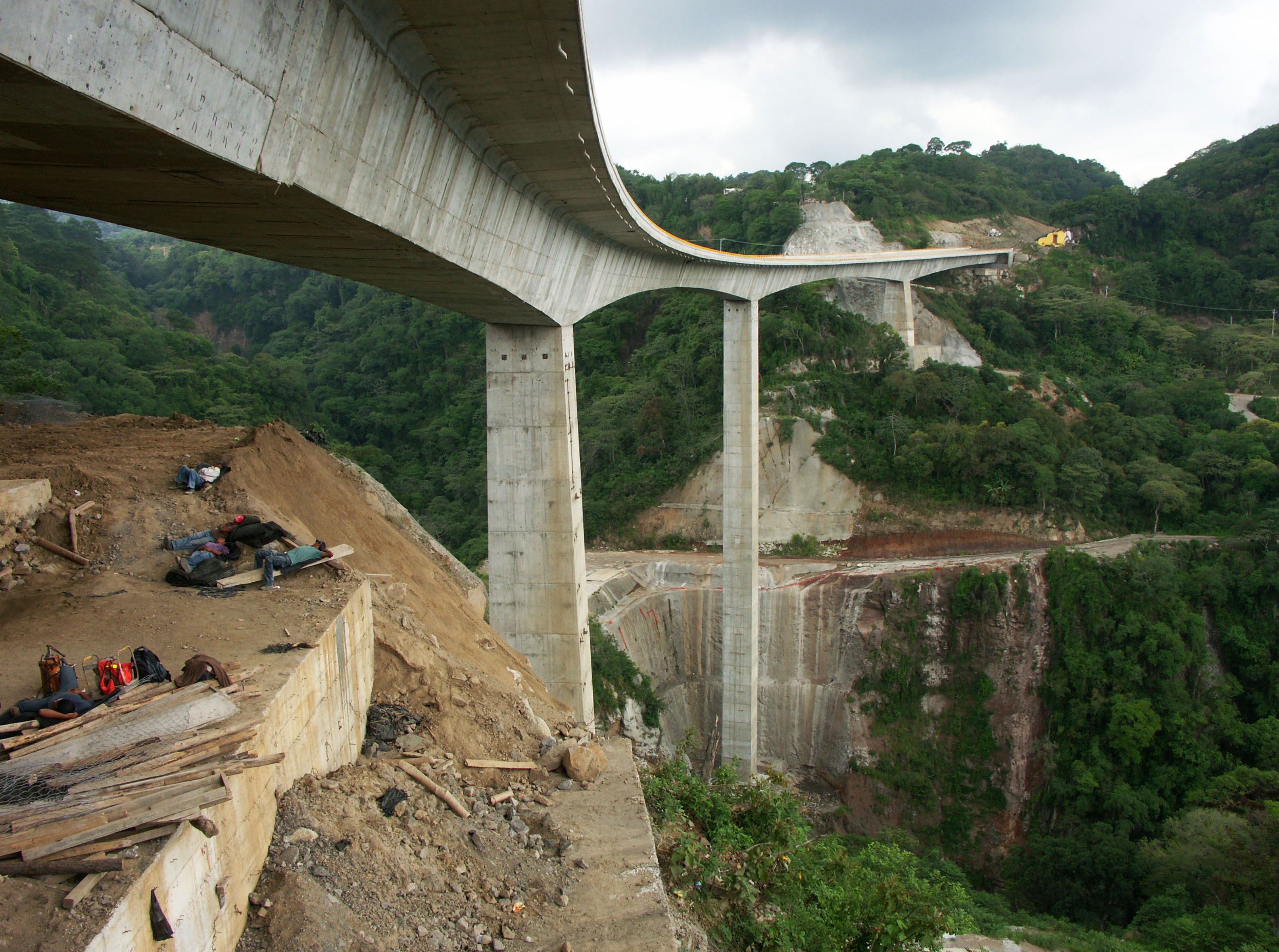
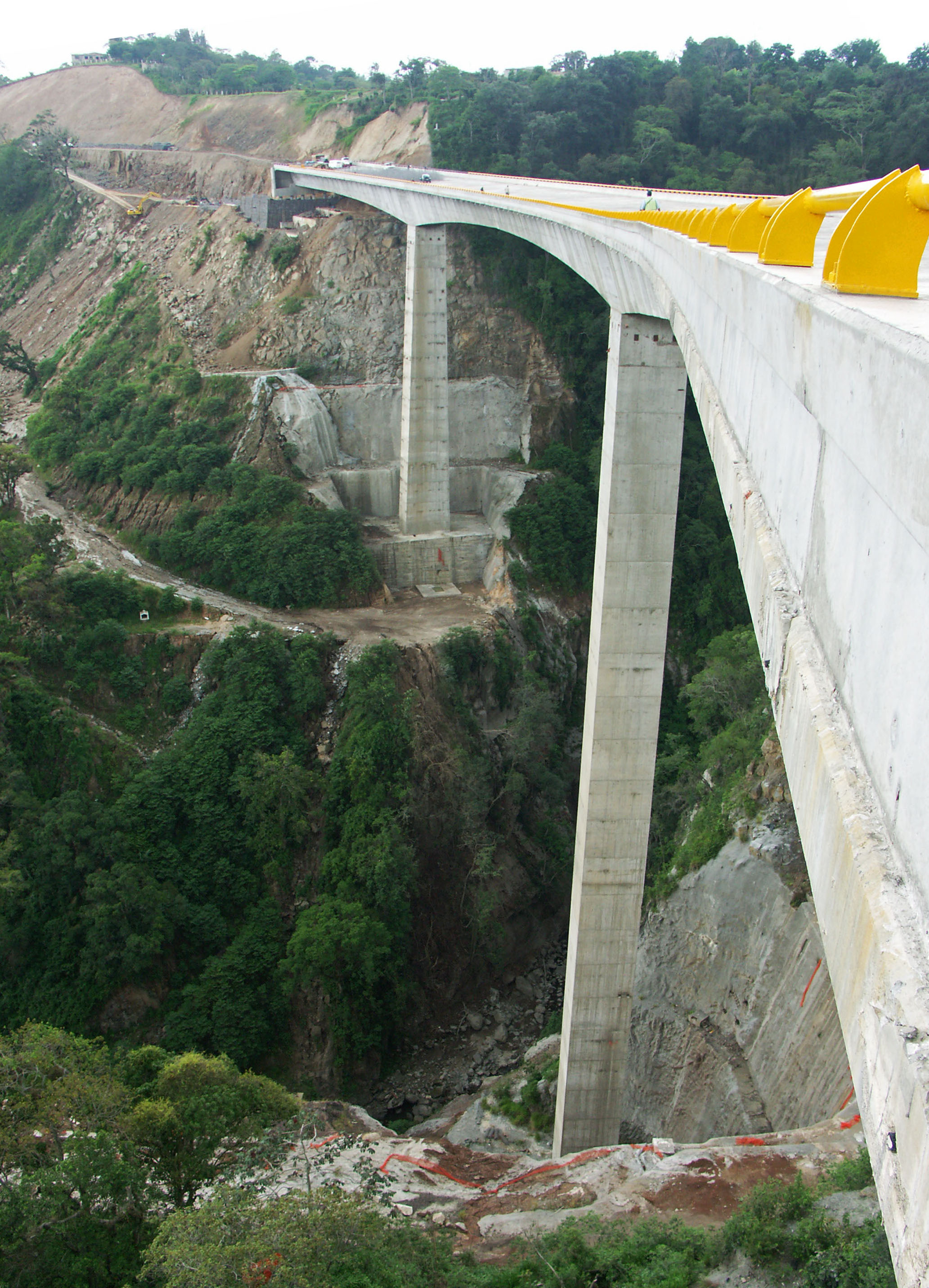
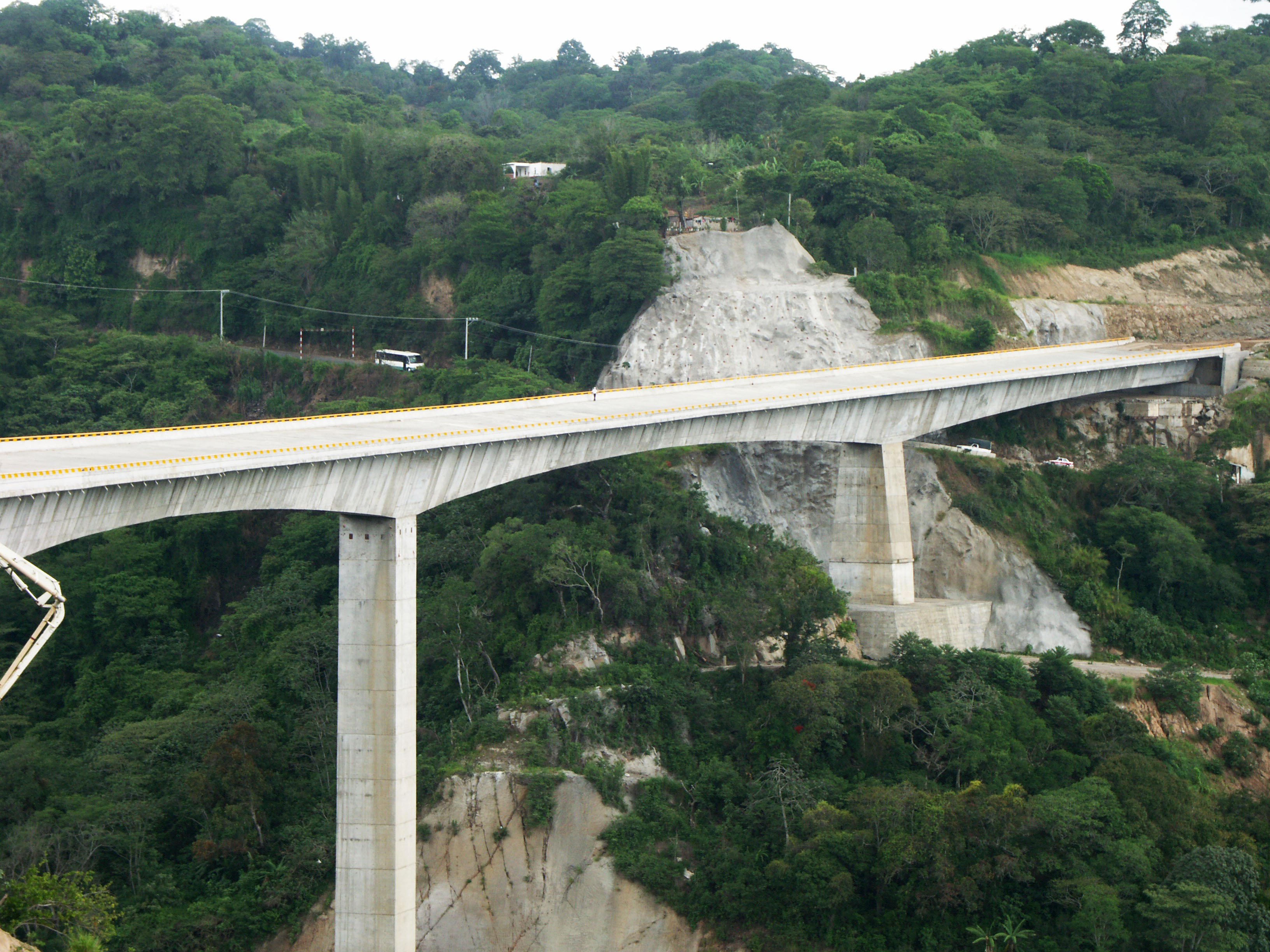
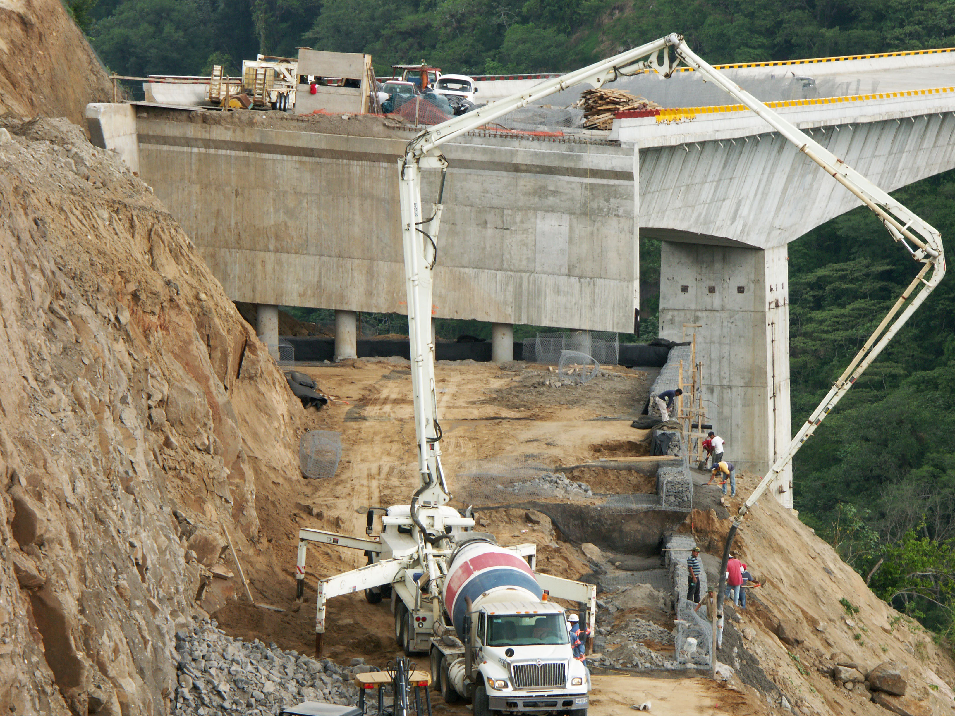
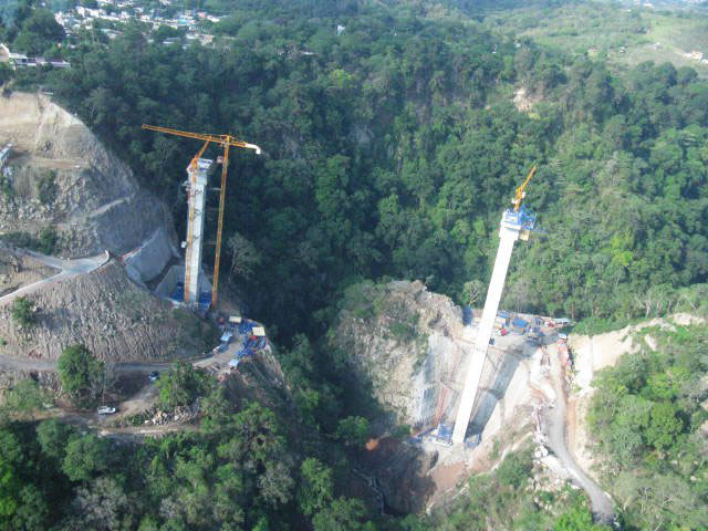
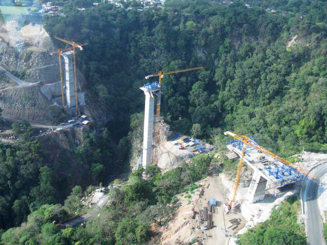
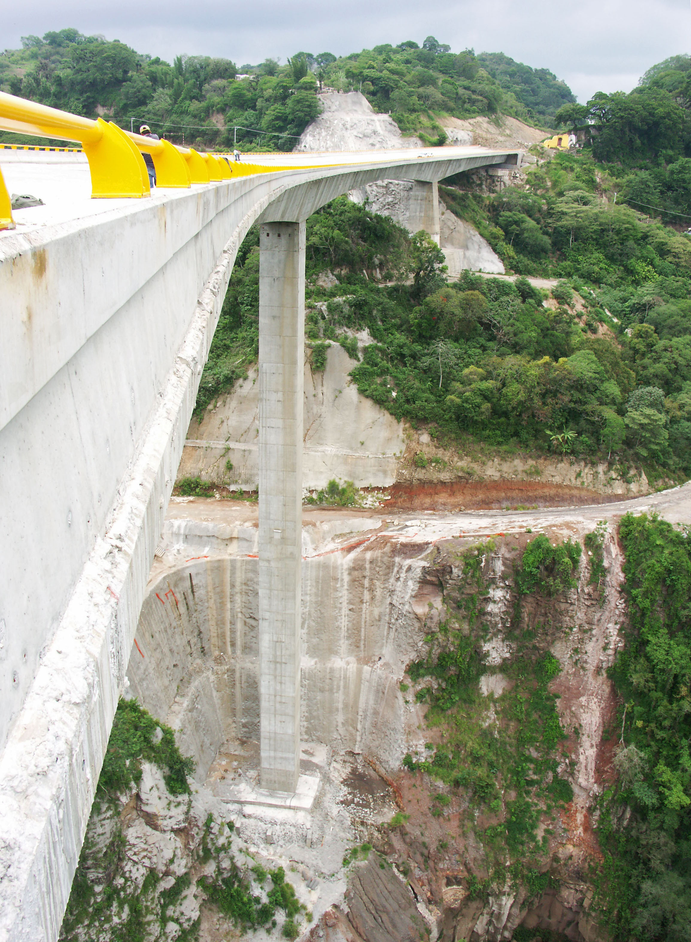
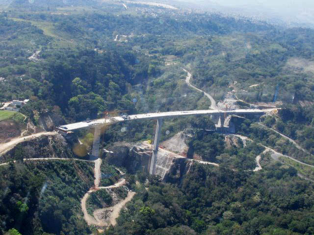
The double span cantilever beam bridge measures 172 meters long divided into 2 span of 86 meters atop a central pier 80 meters tall. | The double span cantilever beam bridge measures 172 meters long divided into 2 span of 86 meters atop a central pier 80 meters tall. | ||
Revision as of 06:37, 11 April 2013
Cimarron Bridge
Puente El Cimarrón
Xalapa, Veracruz, Mexico
297 feet high / 91 meters high
282 foot span / 86 meter span
2012
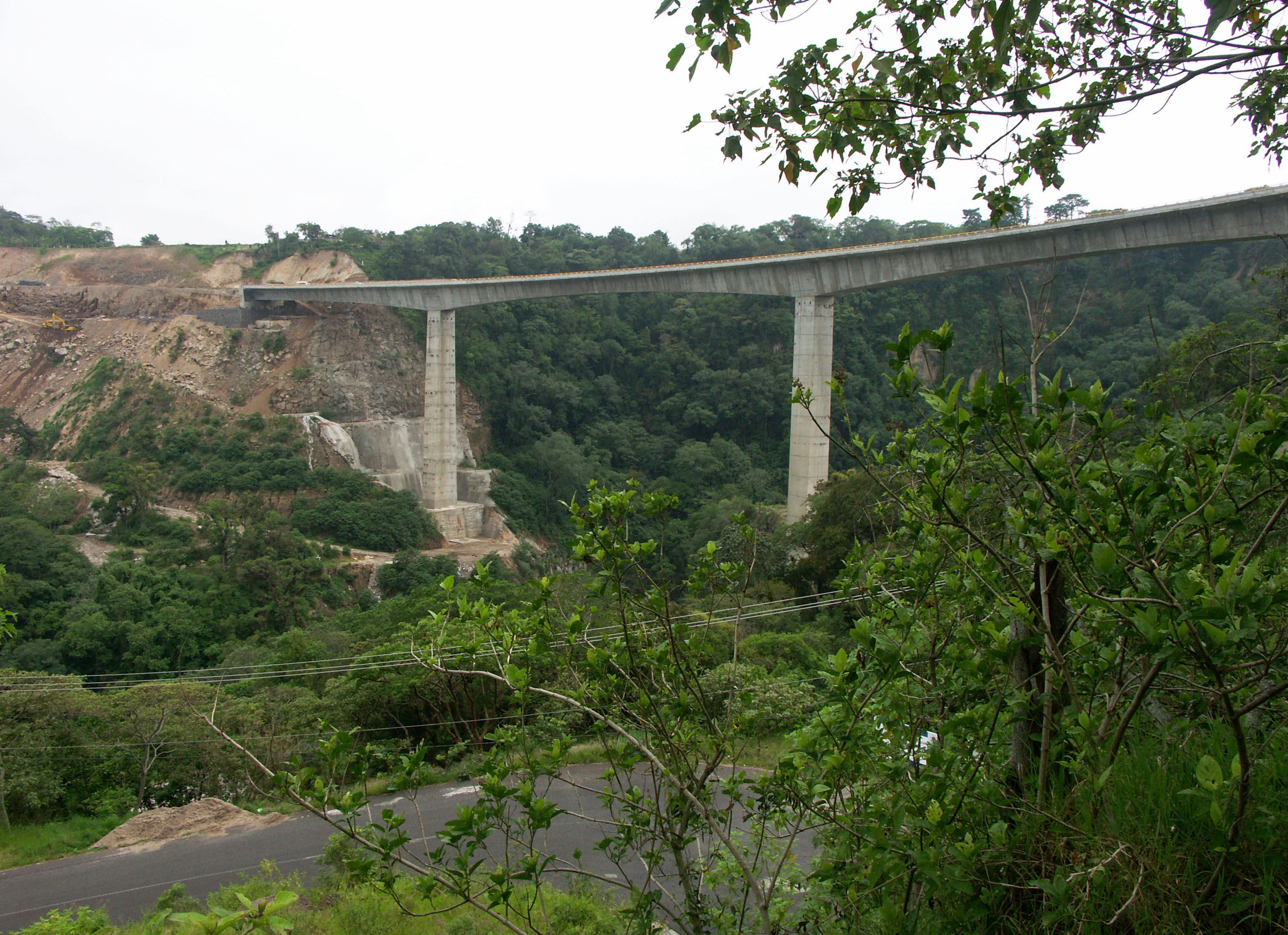
The El Cimarrón Bridge is the second highest beam bridge on the Xalapa Bypass highway that opened in late 2012. By cutting a new route north of the capital city of Veracruz, travelers can avoid the congested, dangerous and slow moving 2-lane road. The new route 140 breaks off from the original Veracruz-Xalapa highway about 20 kilometers east of the city, crossing several small canyons before a long elevation rise to the highlands northwest of Xalapa and the small city of Perote where the route continues on to Puebla and Mexico City. The new route offers a relief to those who live along the main Avenida Lazaro Cardenas in downtown Xalapa where trucks and other heavy vehicles were a common site on the way to Mexico City or Veracruz.
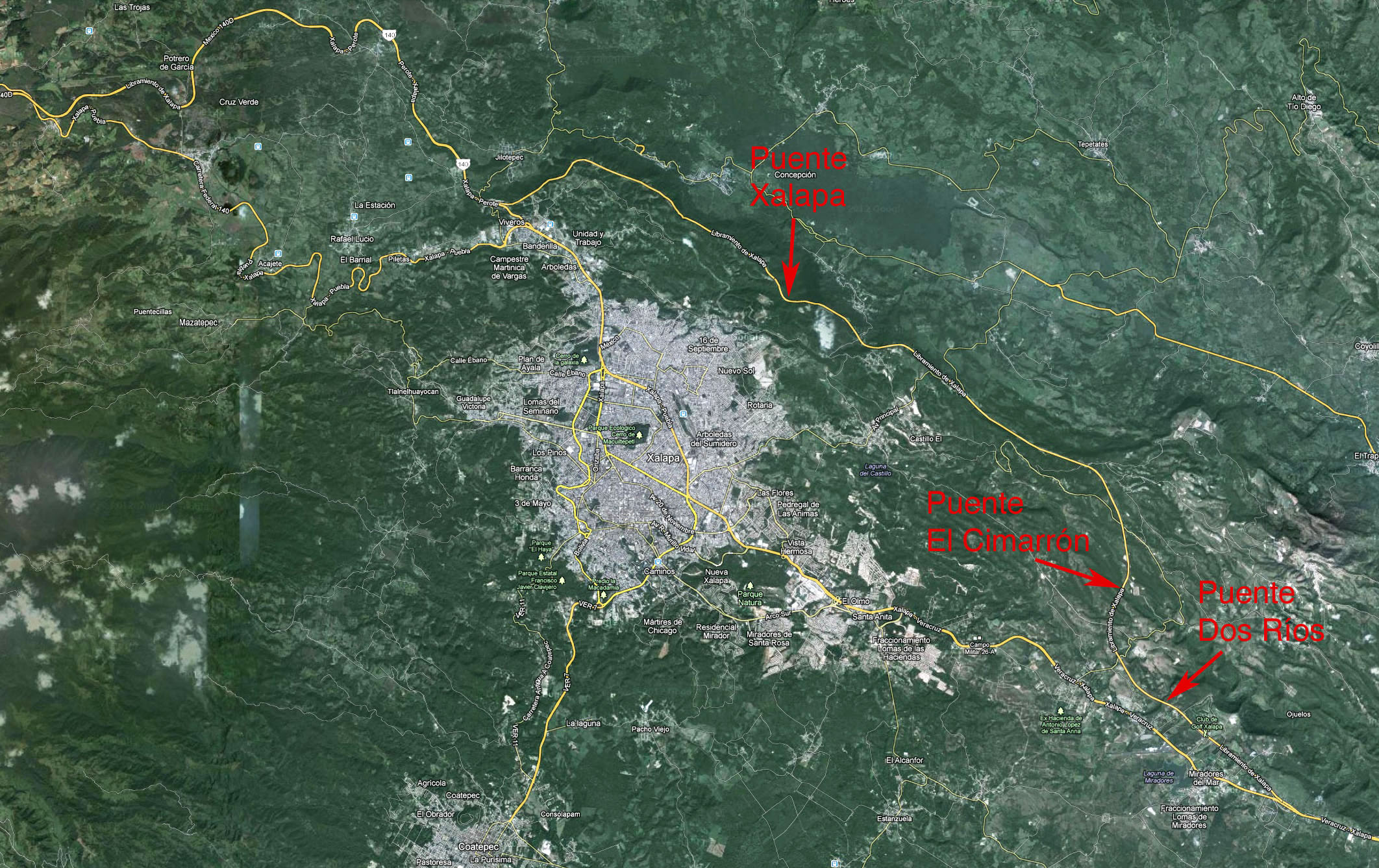
The double span cantilever beam bridge measures 172 meters long divided into 2 span of 86 meters atop a central pier 80 meters tall. Also on the Xalapa Bypass route are the Xalapa Bridge which has a height of 138 meters as well as the 3-span Dos Ríos Bridge which is more then 55 meters high.
The El Cimarrón Bridge was passed in height by the Horganal Bridge on the on the Mitla-Tehuantepec in Oaxaca State as Mexico's tallest single tower beam bridge. Horganal has a span configuration of 2 x 110 meters atop a 91 meter tall pier.
Image by Eric Sakowski / HighestBridges.com
Image by Eric Sakowski / HighestBridges.com
Image by Eric Sakowski / HighestBridges.com
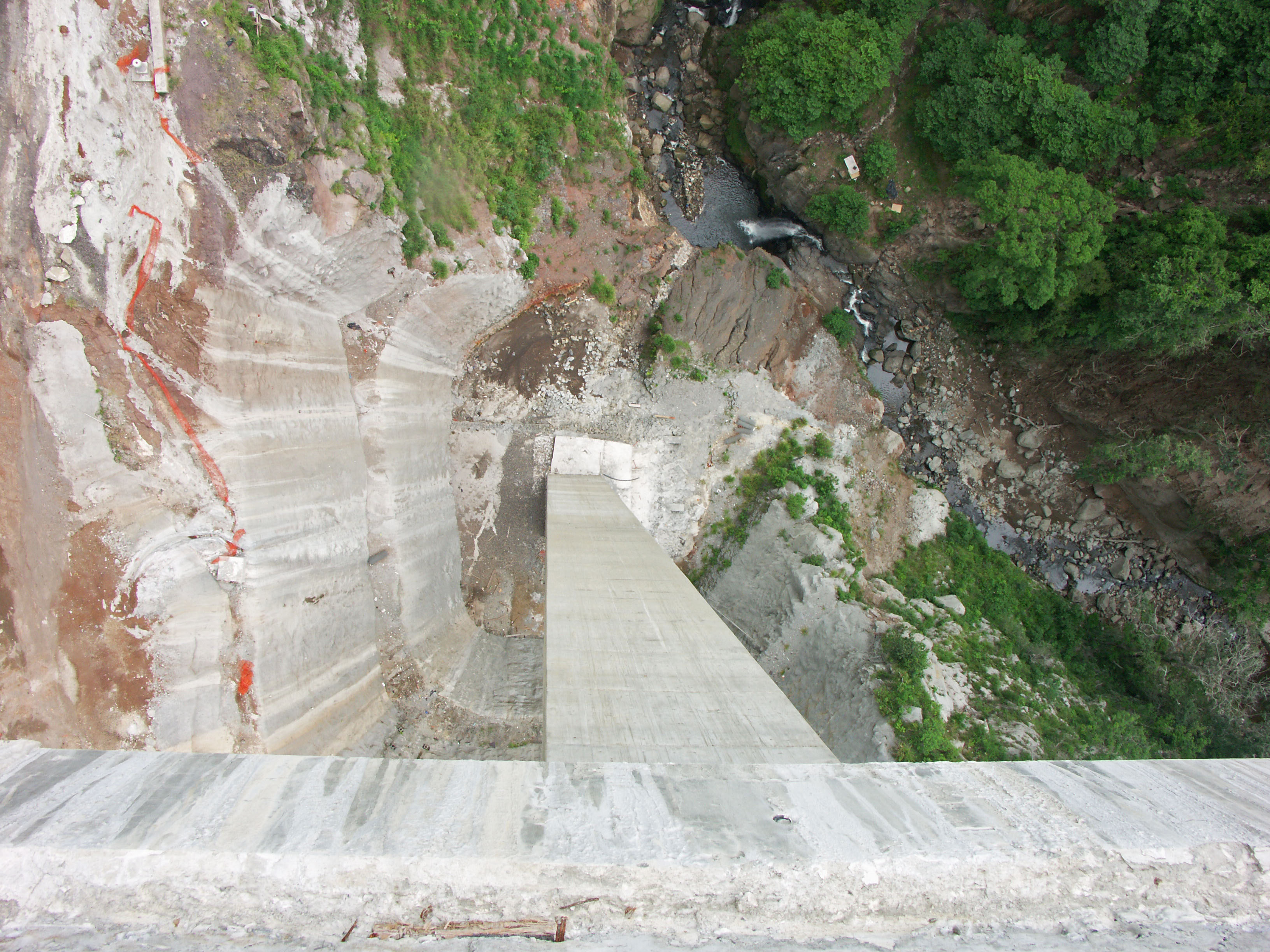
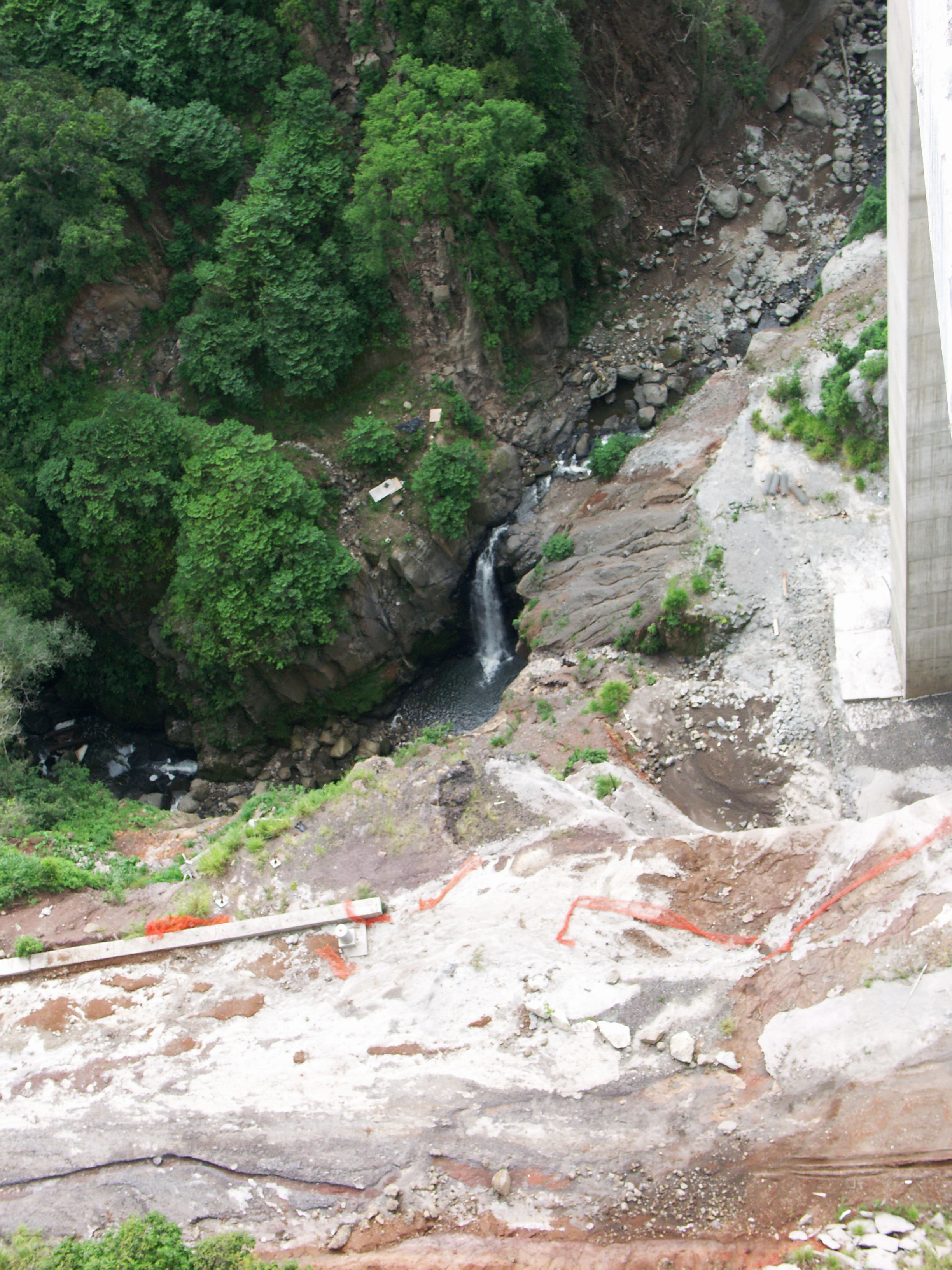
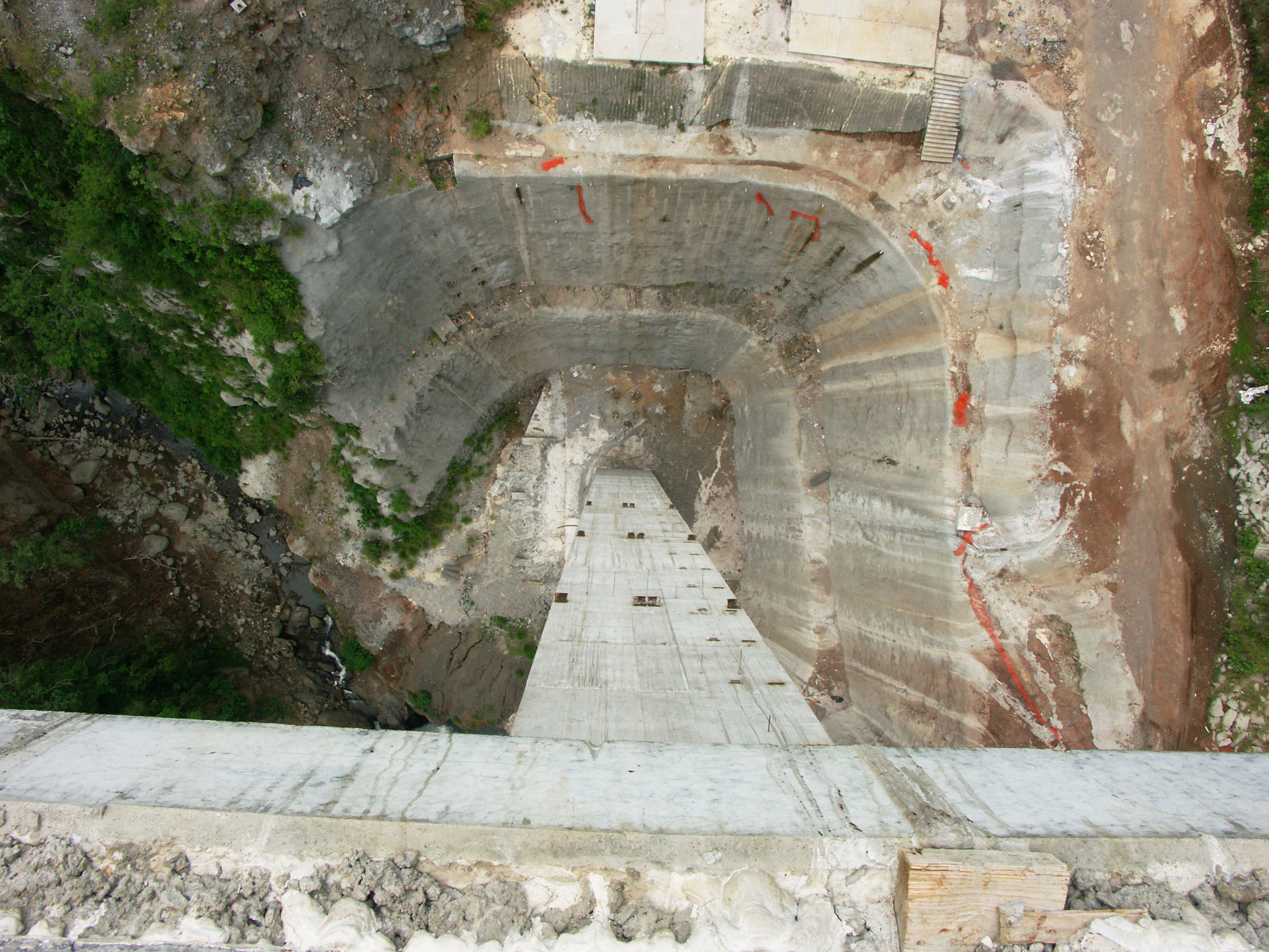
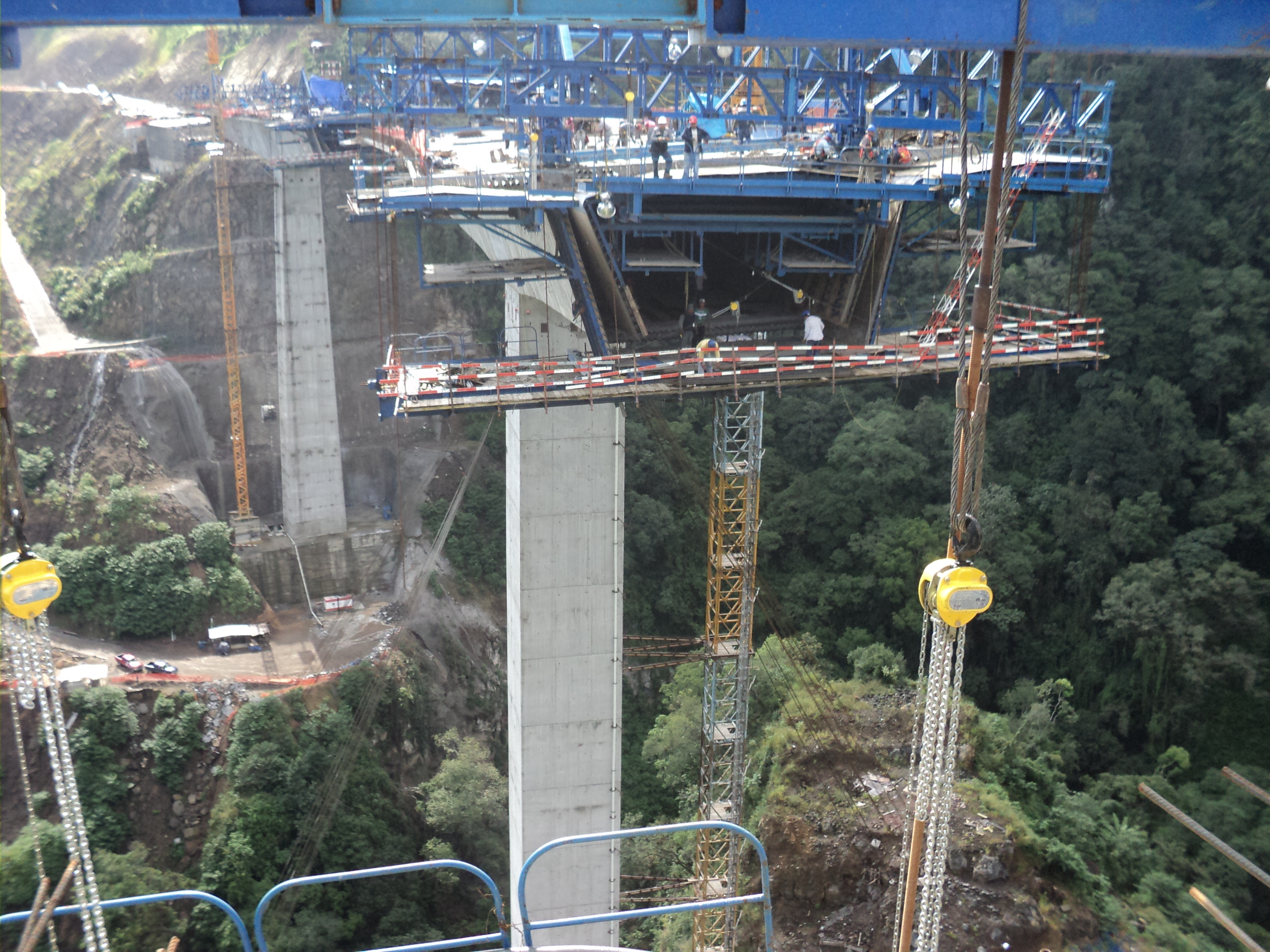
A view looking straight down the north side of the tallest pier. A small waterfall is located just downstream of the crossing. Image by Eric Sakowski / HighestBridges.com
Image by Eric Sakowski / HighestBridges.com
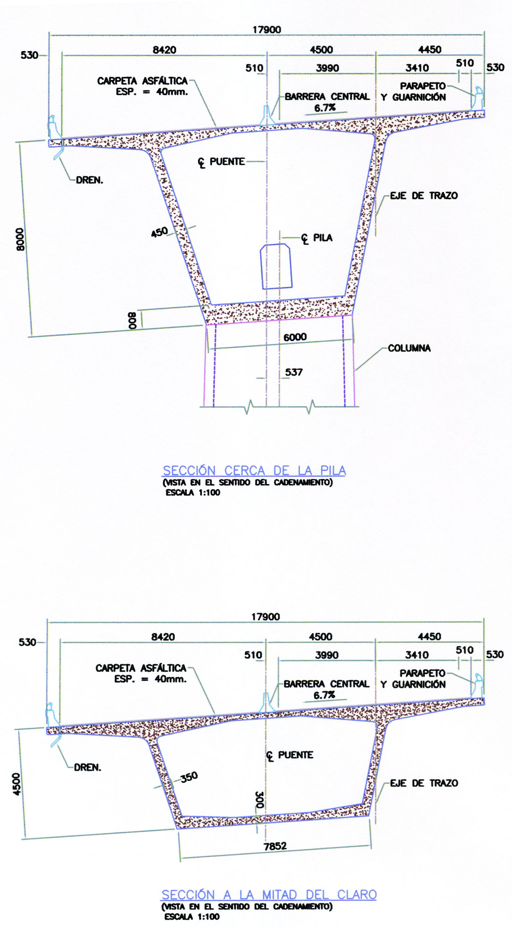
Xalapa Bridge deck cross section. Image by Eric Sakowski / HighestBridges.com
Image by Eric Sakowski / HighestBridges.com
Image by Eric Sakowski / HighestBridges.com
Image by Eric Sakowski / HighestBridges.com
I have no idea what this mass of rock is or how it came to be. Does anyone know more? Image by Eric Sakowski / HighestBridges.com
A view looking straight down the south side of the tallest pier. Image by Eric Sakowski / HighestBridges.com
Image by Eric Sakowski / HighestBridges.com
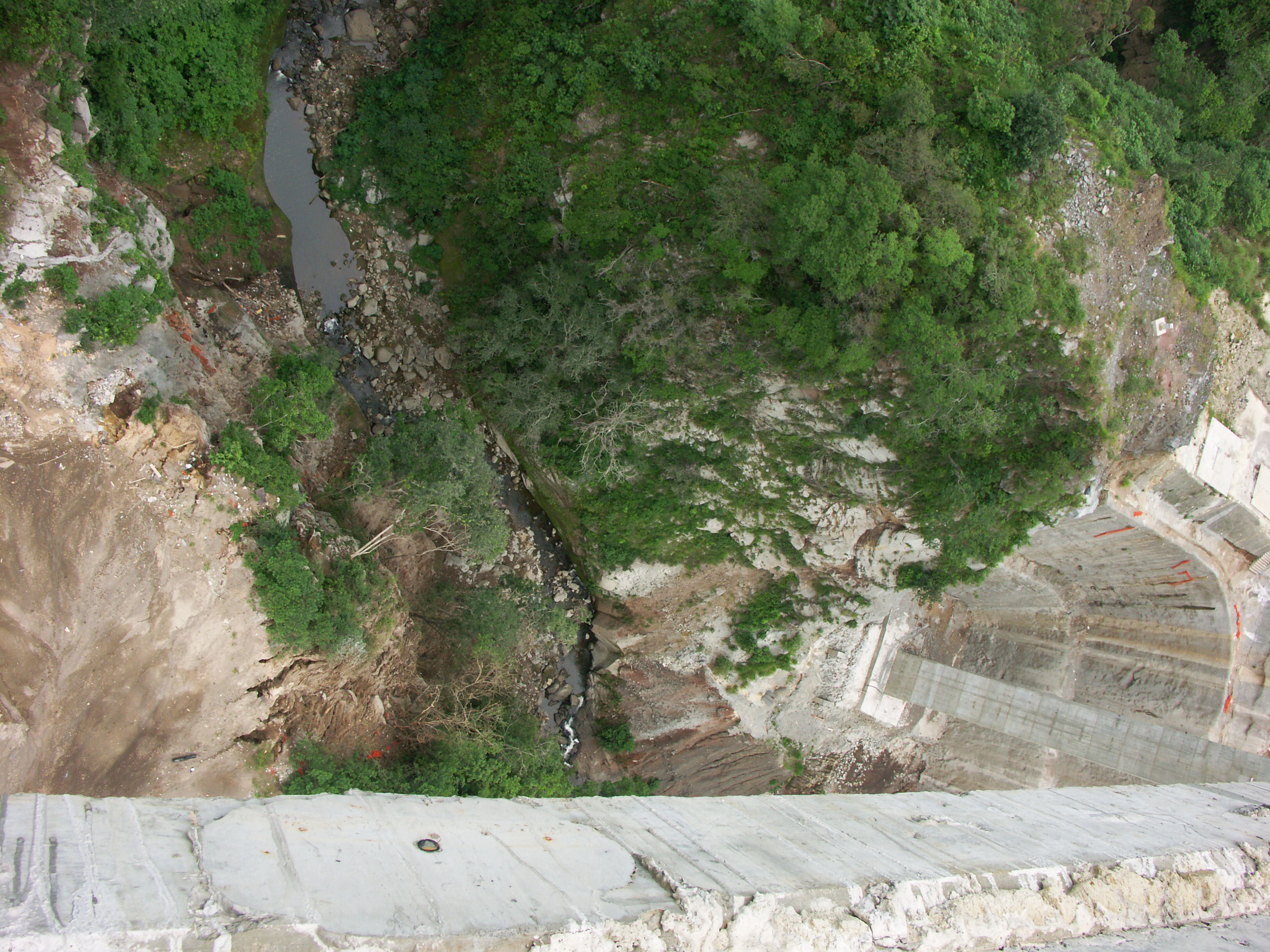
A view looking upstream. Image by Eric Sakowski / HighestBridges.com
Image by Eric Sakowski / HighestBridges.com
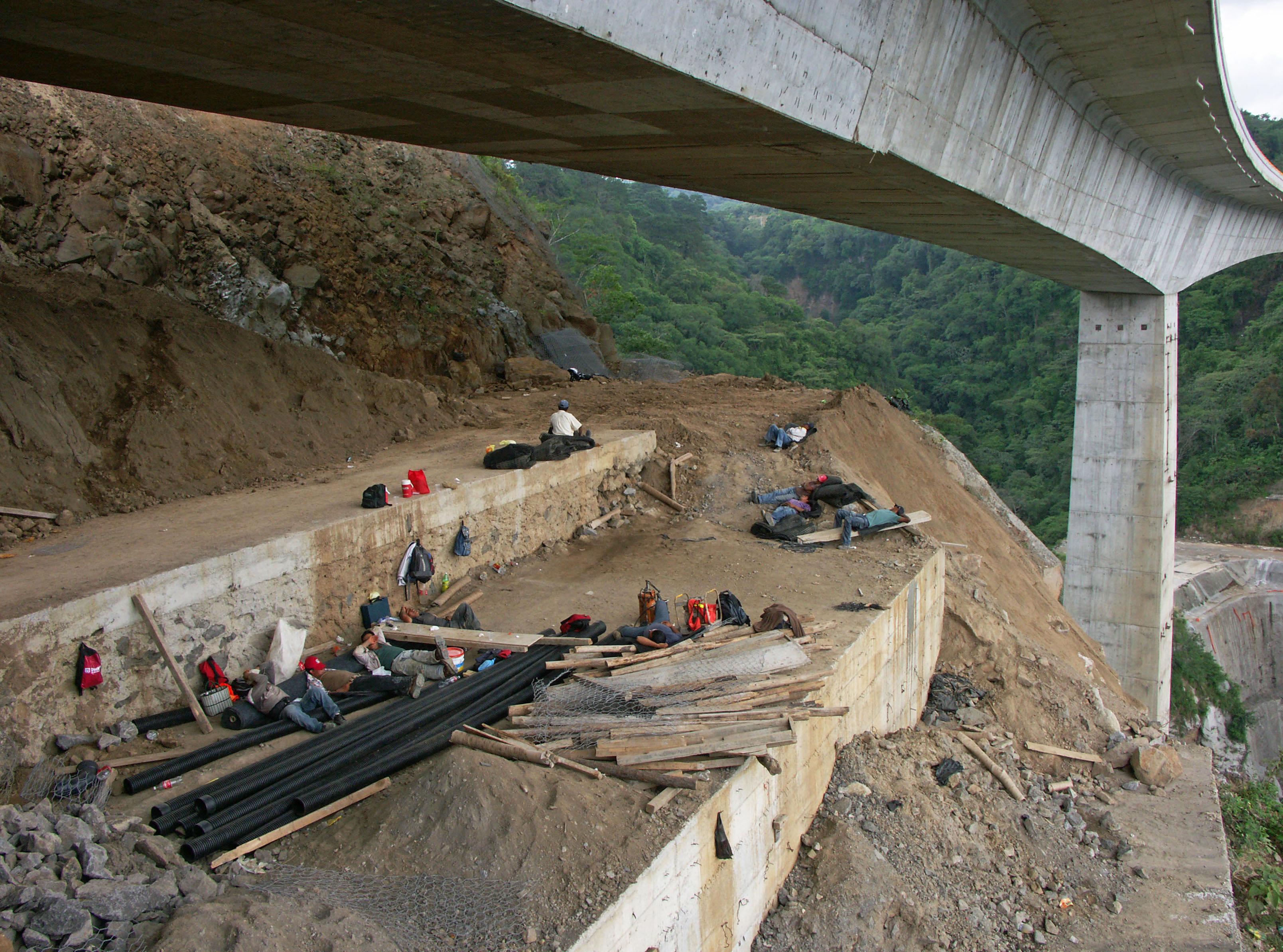
Nothing like a lunchtime siesta! Image by Eric Sakowski / HighestBridges.com
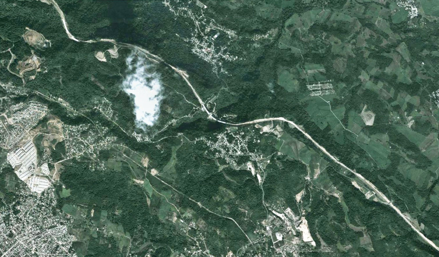
A view of the major bridges along the Xalapa Bypass highway.
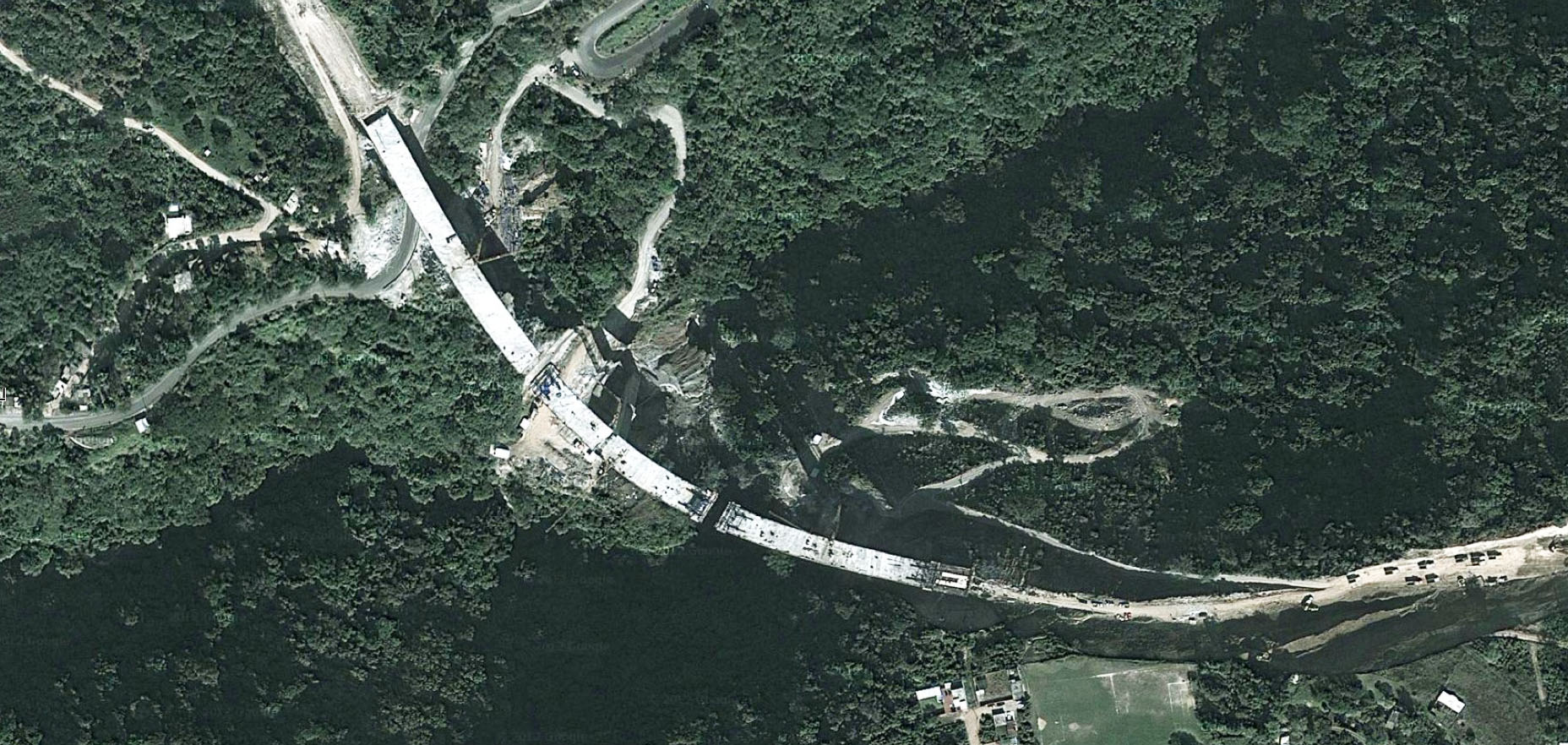
Xalapa Bridge satellite view.
Xalapa Bridge satellite view.
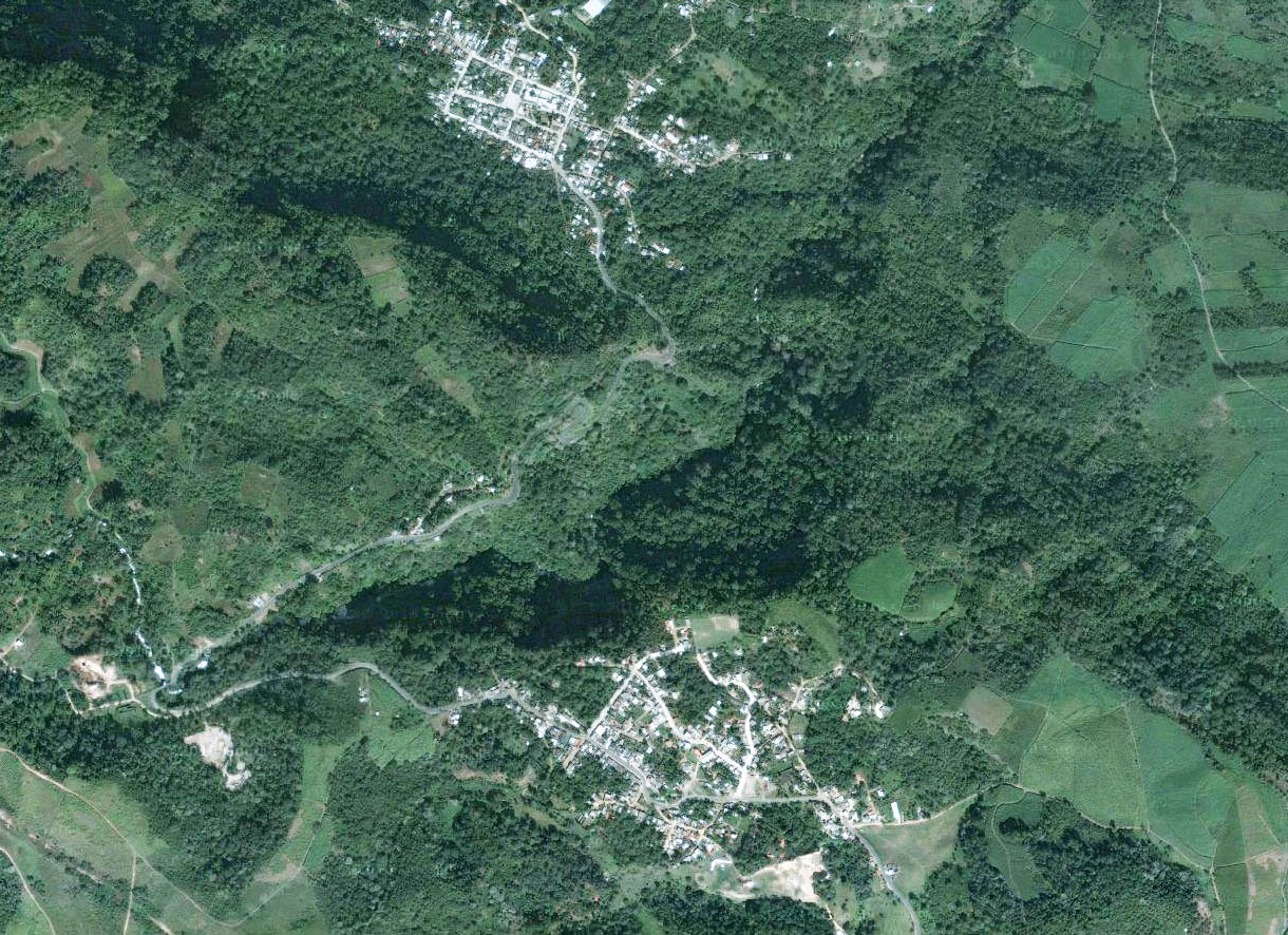
Xalapa Bridge area satellite view prior to construction.
