Difference between revisions of "Datiegou Bridge"
| Line 30: | Line 30: | ||
[[File:Datiegou856.48mtrsLong.jpg|750px|center]] | [[File:Datiegou856.48mtrsLong.jpg|750px|center]] | ||
Image by www.news.cn. | Image by www.news.cn. | ||
| − | |||
| − | |||
| − | |||
| − | |||
| Line 45: | Line 41: | ||
[[File:XiaotiegouDatiegouLocationMap.jpg|750px|center]] | [[File:XiaotiegouDatiegouLocationMap.jpg|750px|center]] | ||
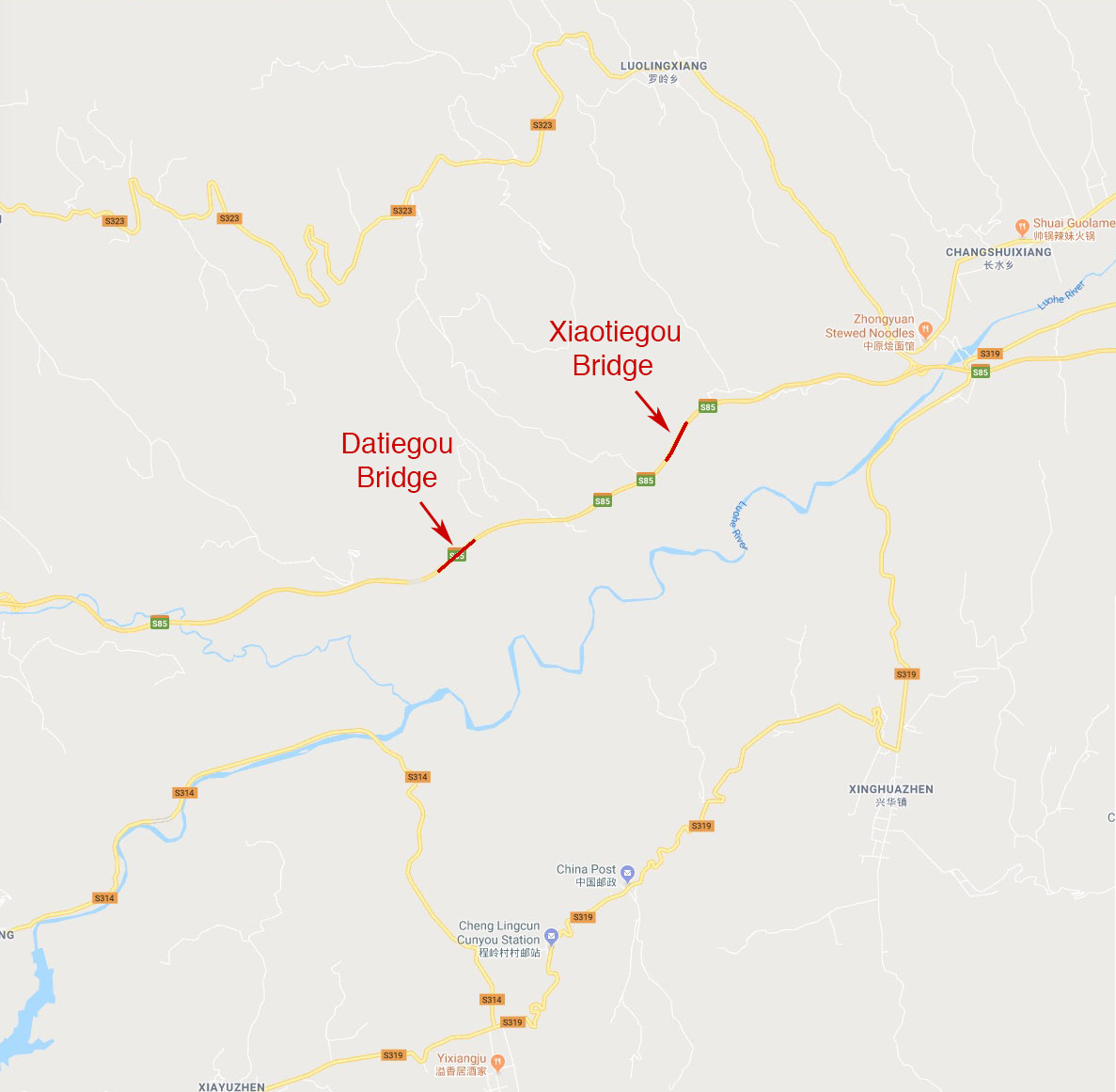
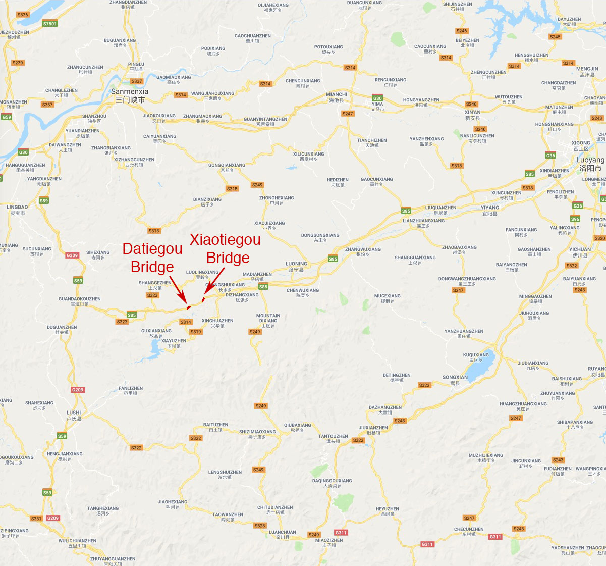
| − | Datiegou Bridge location map. | + | Datiegou Bridge location map. The Datiegou and Xiaotiegou Bridges are located south of Luolingxiang. |
Revision as of 19:58, 16 November 2018
Datiegou Bridge
大铁沟特大桥
Luoning, Henan, China
600 feet high / 183 meters high
525 foot span / 160 meter span
2013
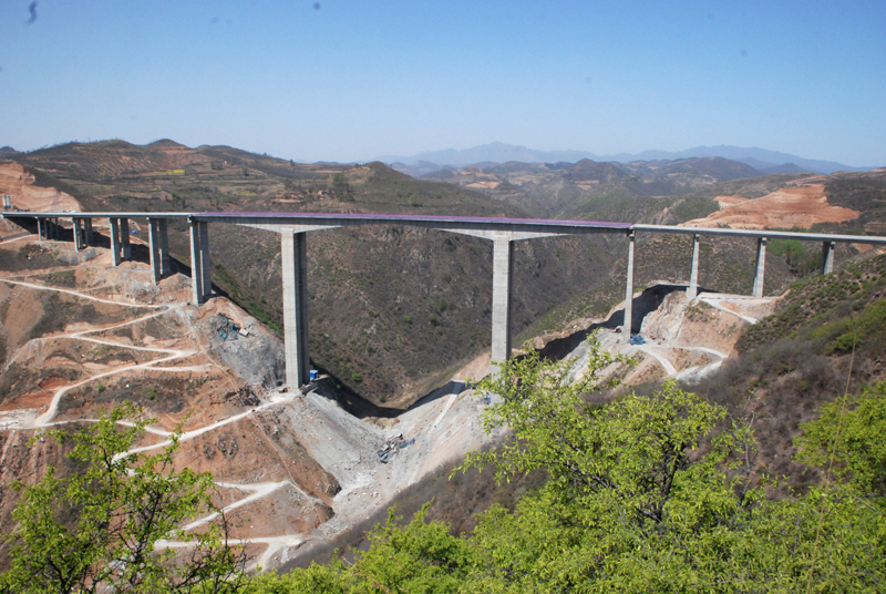
The highest bridge in Henan Province, the Datiegou Bridge is the larger of two high beam spans across the Tiegou or Iron Ditch on the Zenglu expressway between Luoyang and the Shaanxi Province border. The small Iron Ditch Bridge is called Xiaotiegou. Both spans are near the small town of Luolingxiang where the highway enters the mountains alongside the older S323 road in western Luoning County.
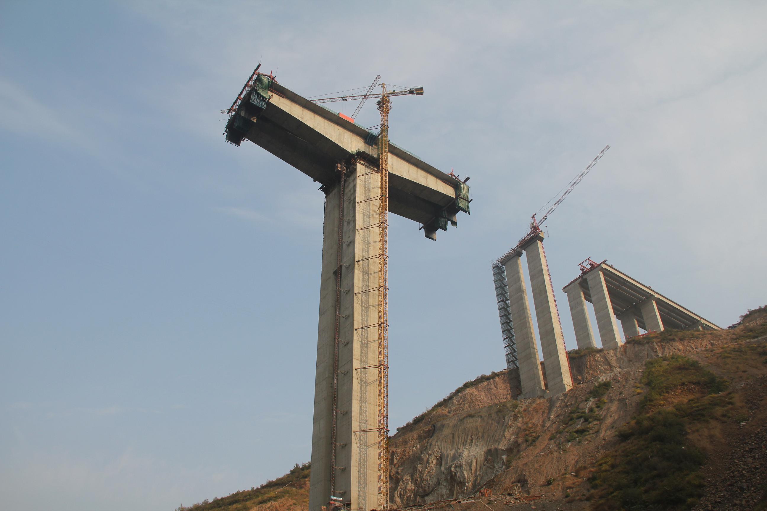
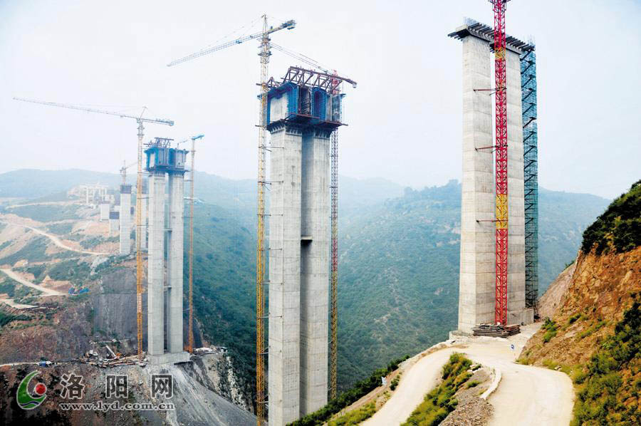
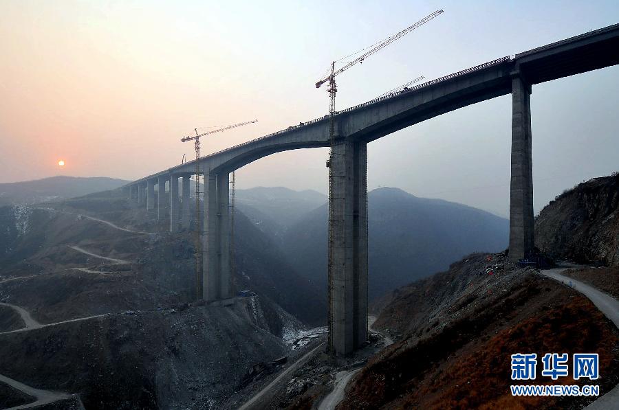
Datiegou has a central span of 160 meters on piers 120 and 118 meters tall. With approach spans the entire structure measures 856.48 meters long.
Image by www.lyd.com.cn.
Image by www.news.cn.
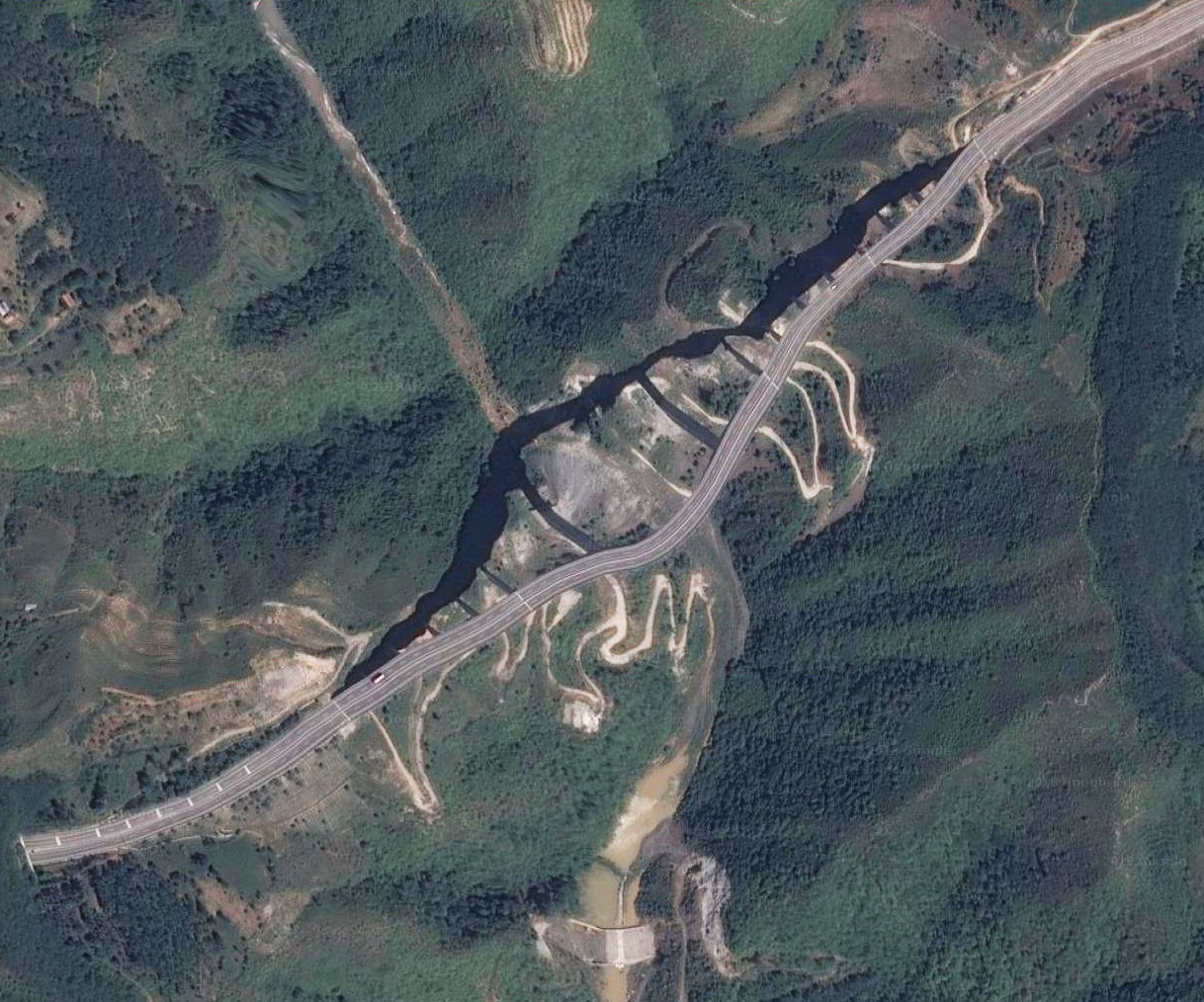
Datiegou Bridge satellite image.
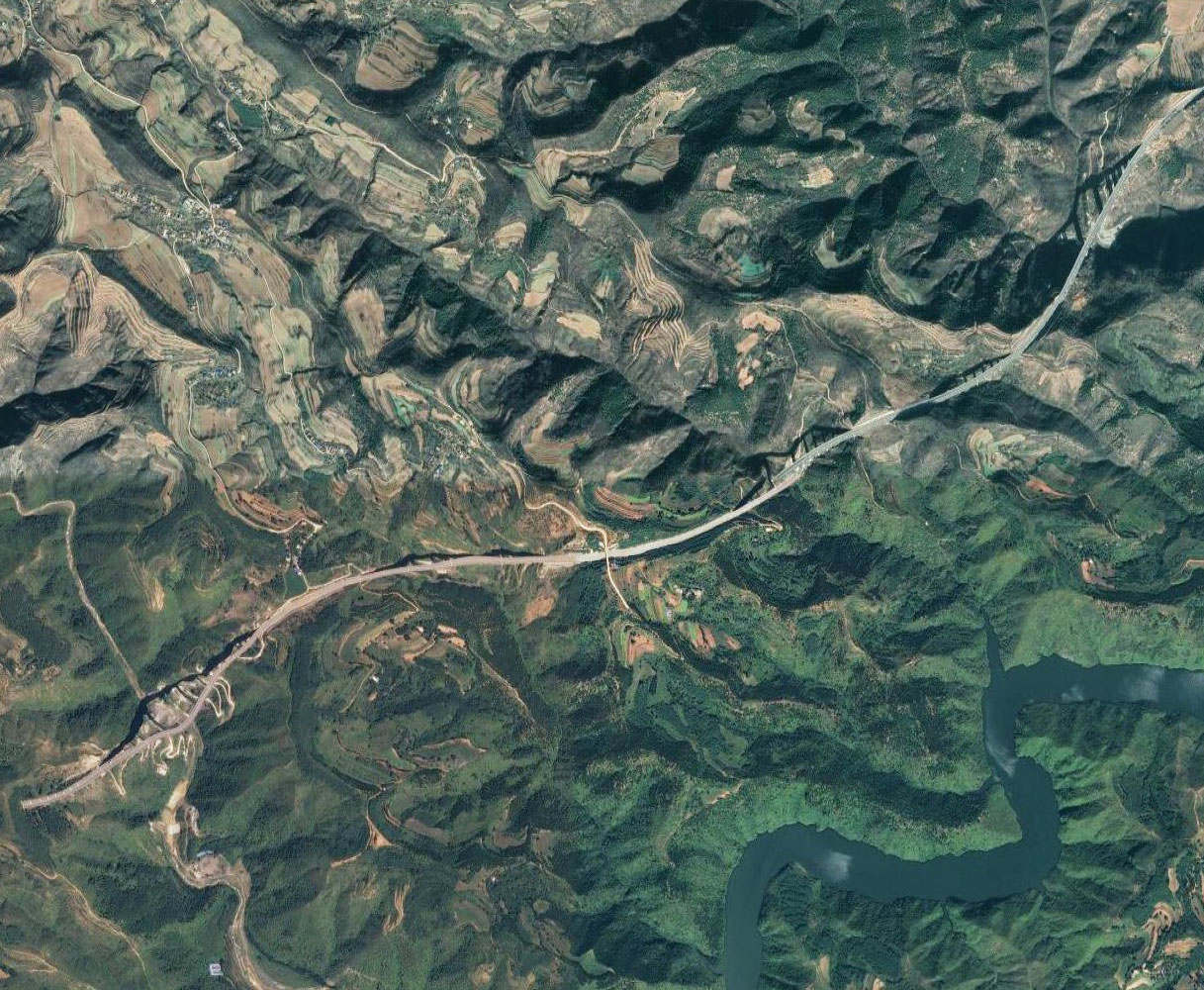
Datiegou and Xiaotiegou Bridges satellite image.
Datiegou Bridge location map. The Datiegou and Xiaotiegou Bridges are located south of Luolingxiang.
