DurangoMazatlanHighwayTour
Durango-Mazatlán Highway Tour
Carretera Durango-Mazatlán Turística
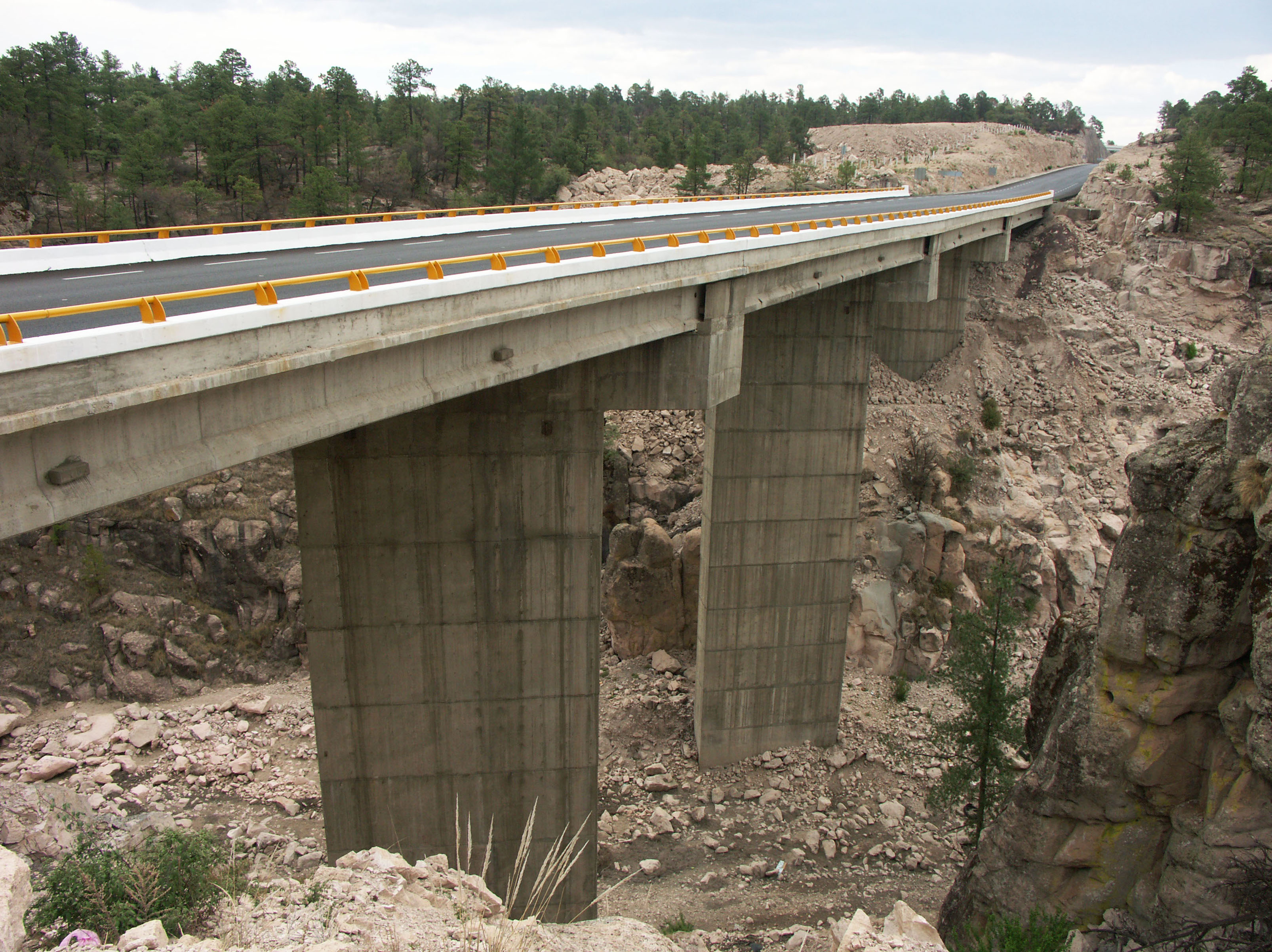
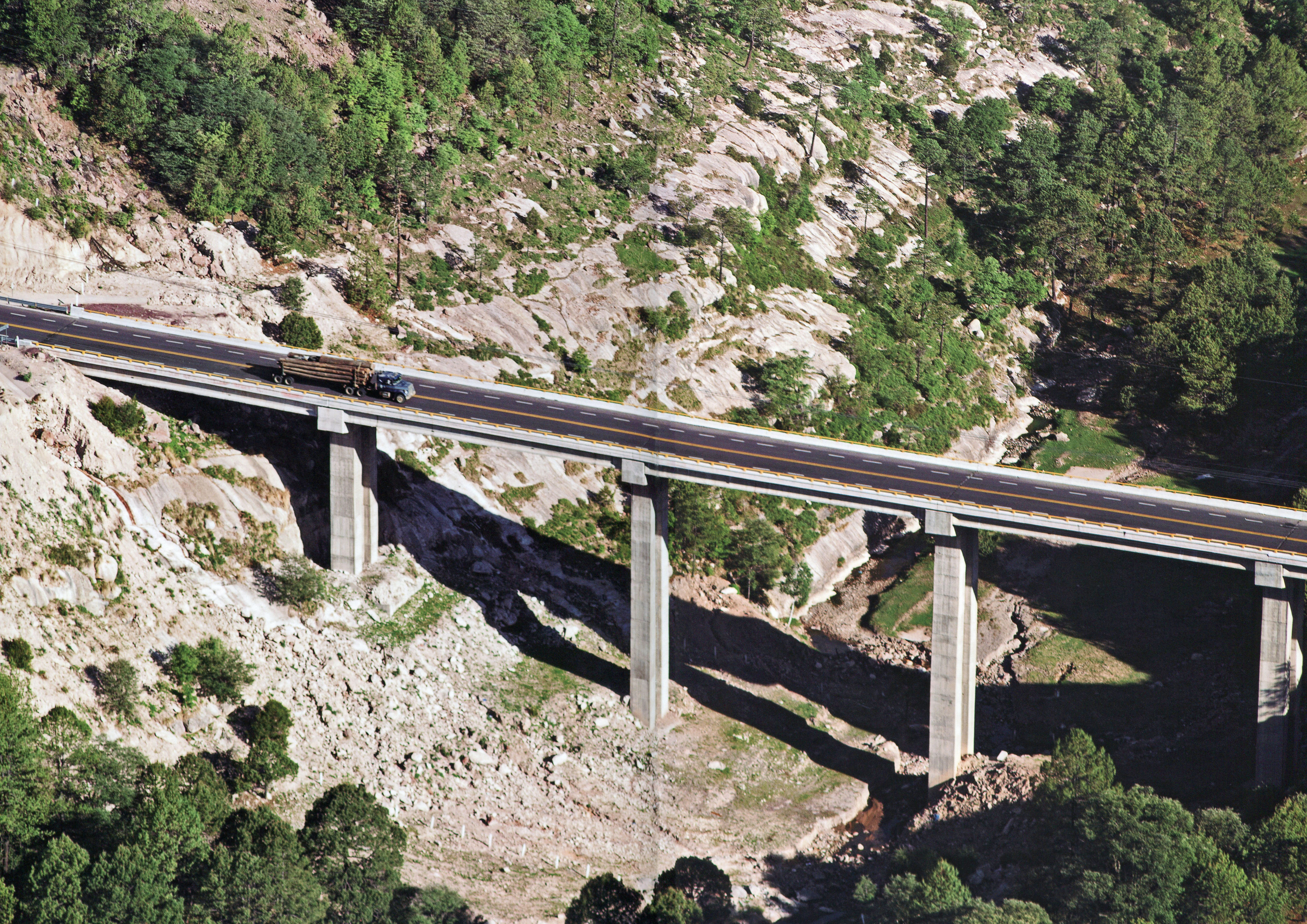
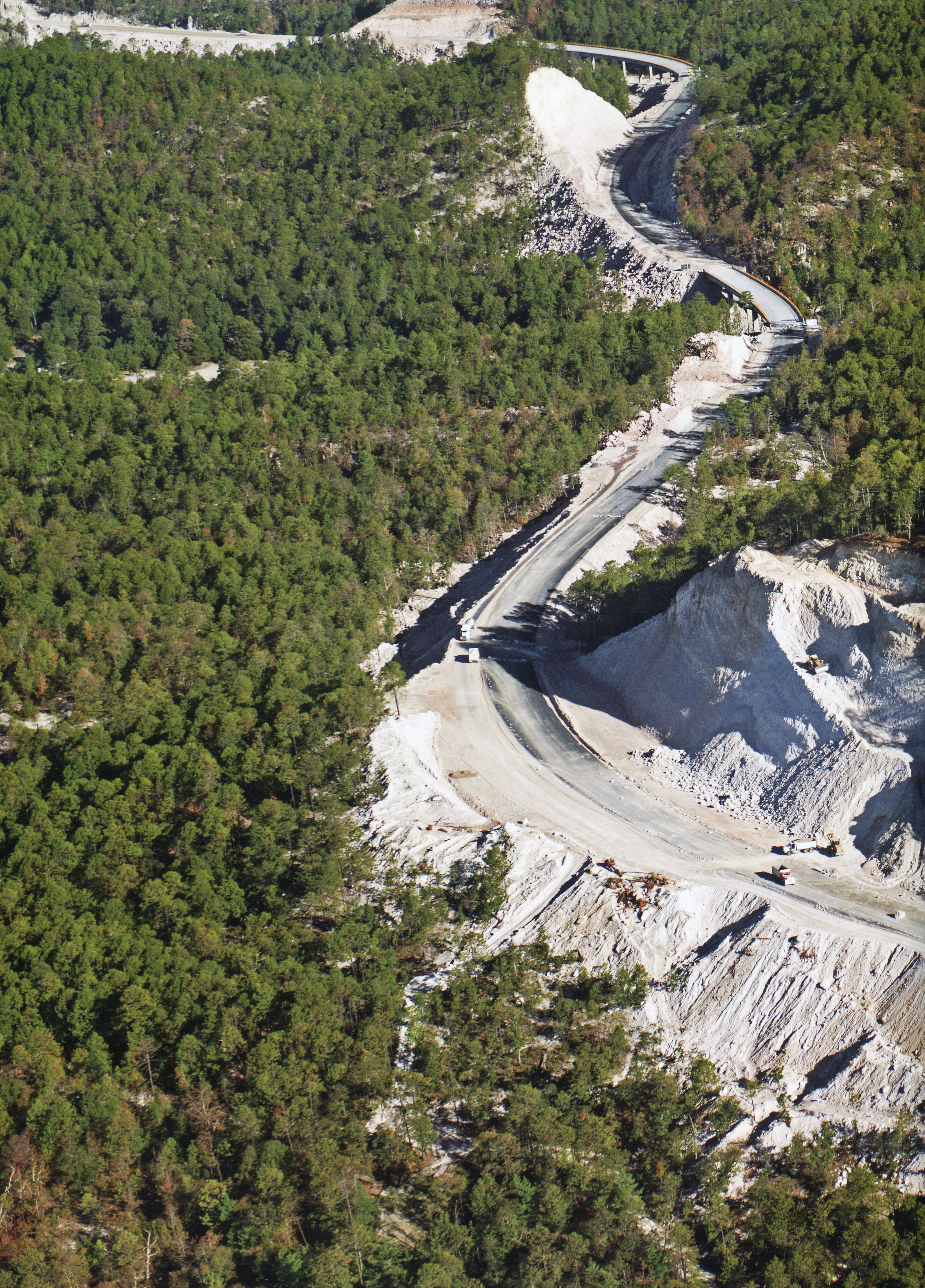
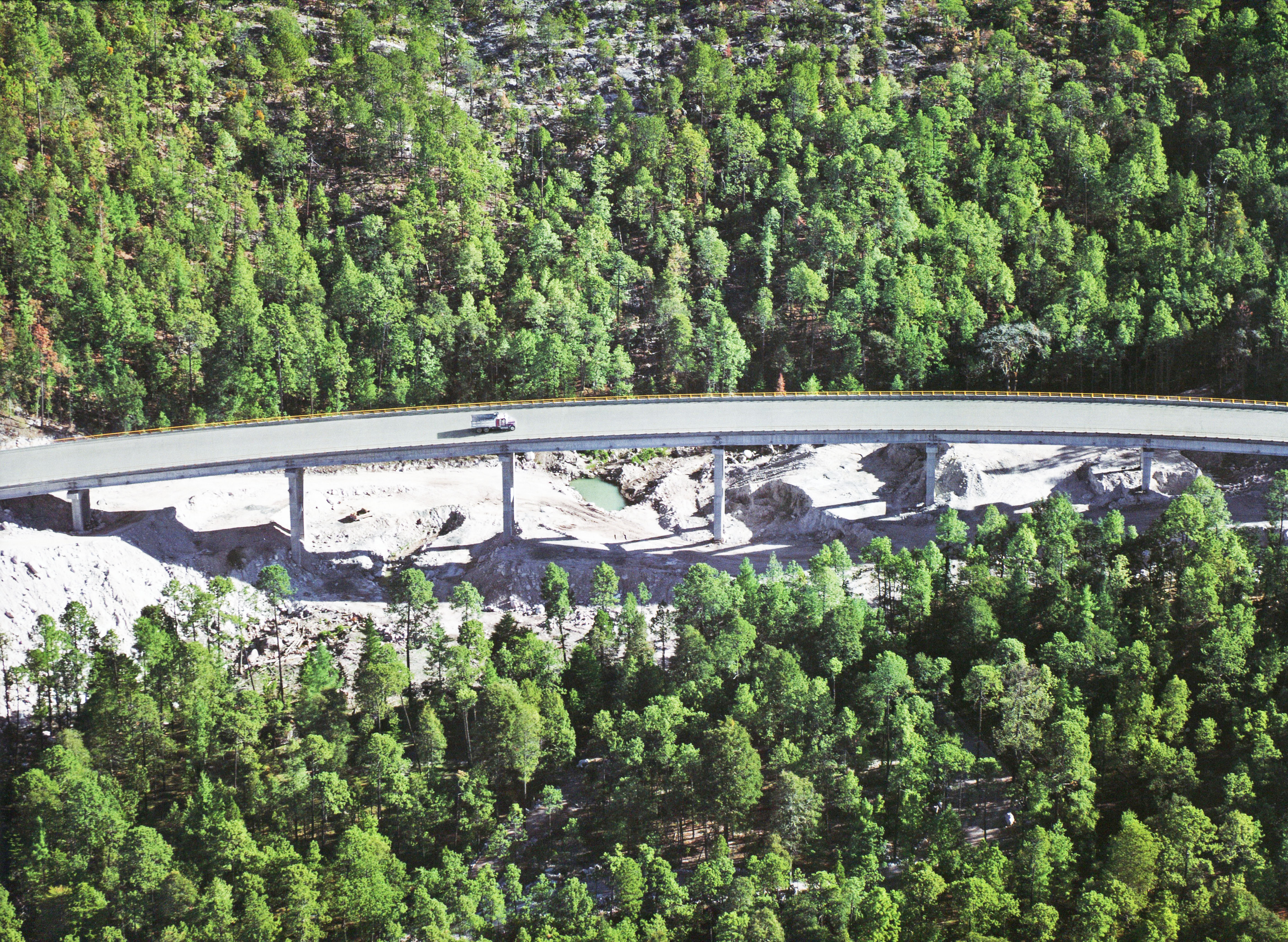
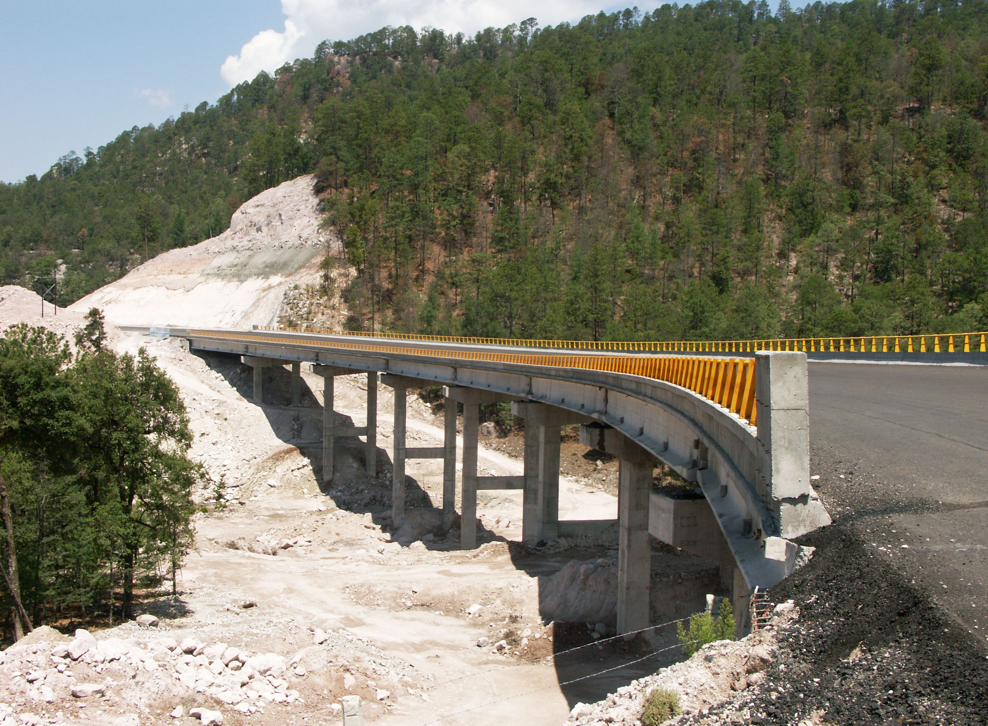
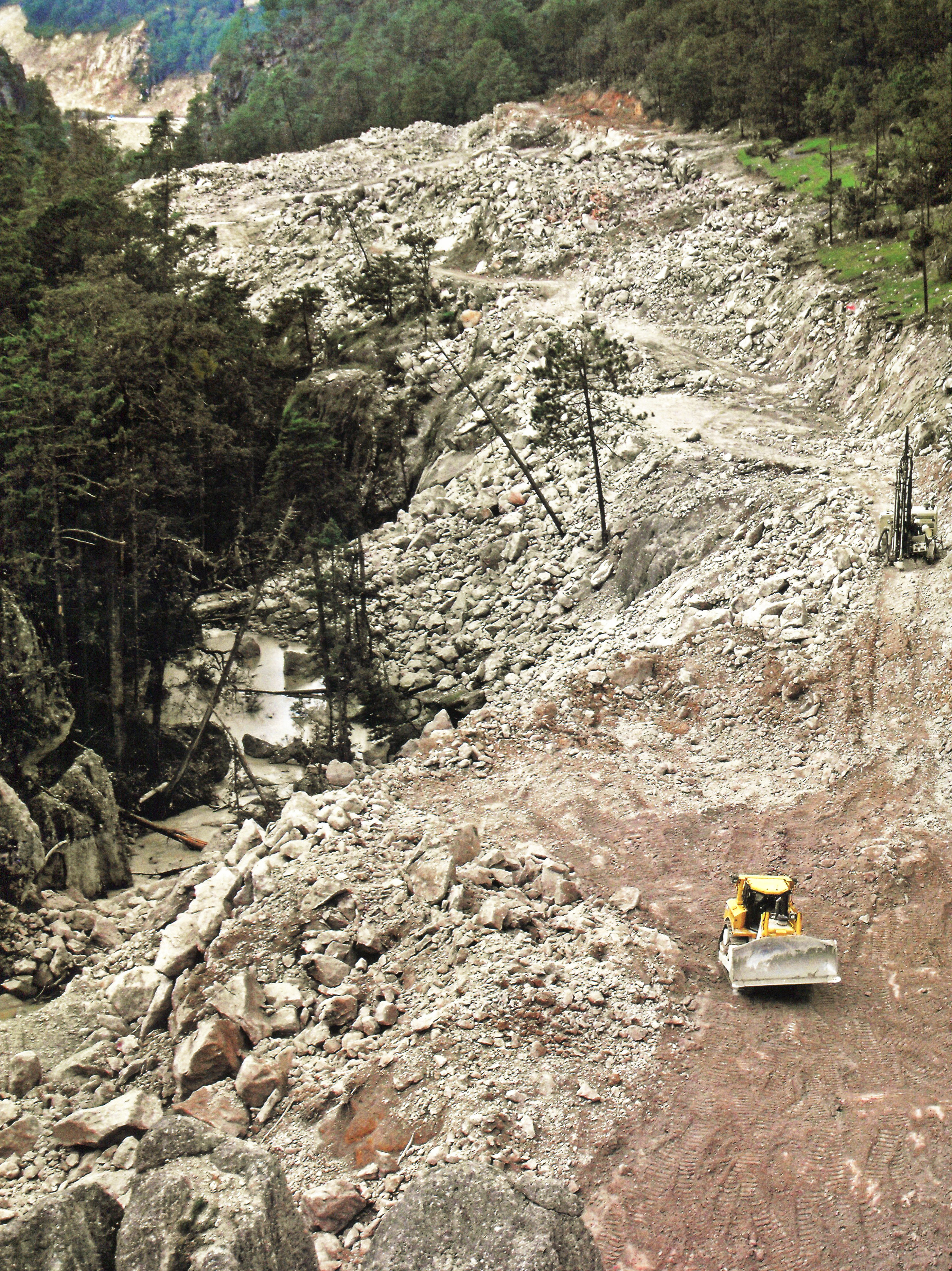
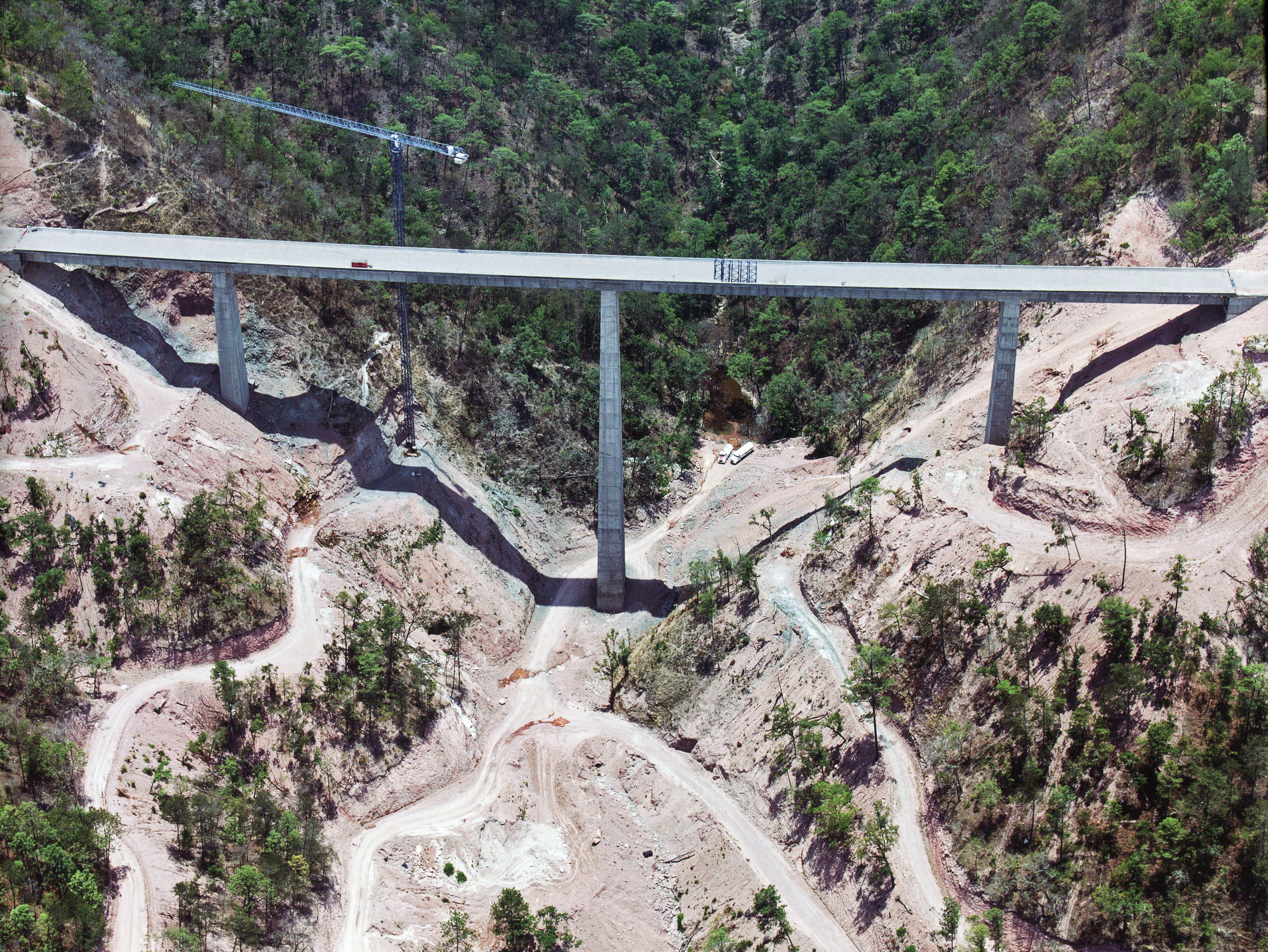
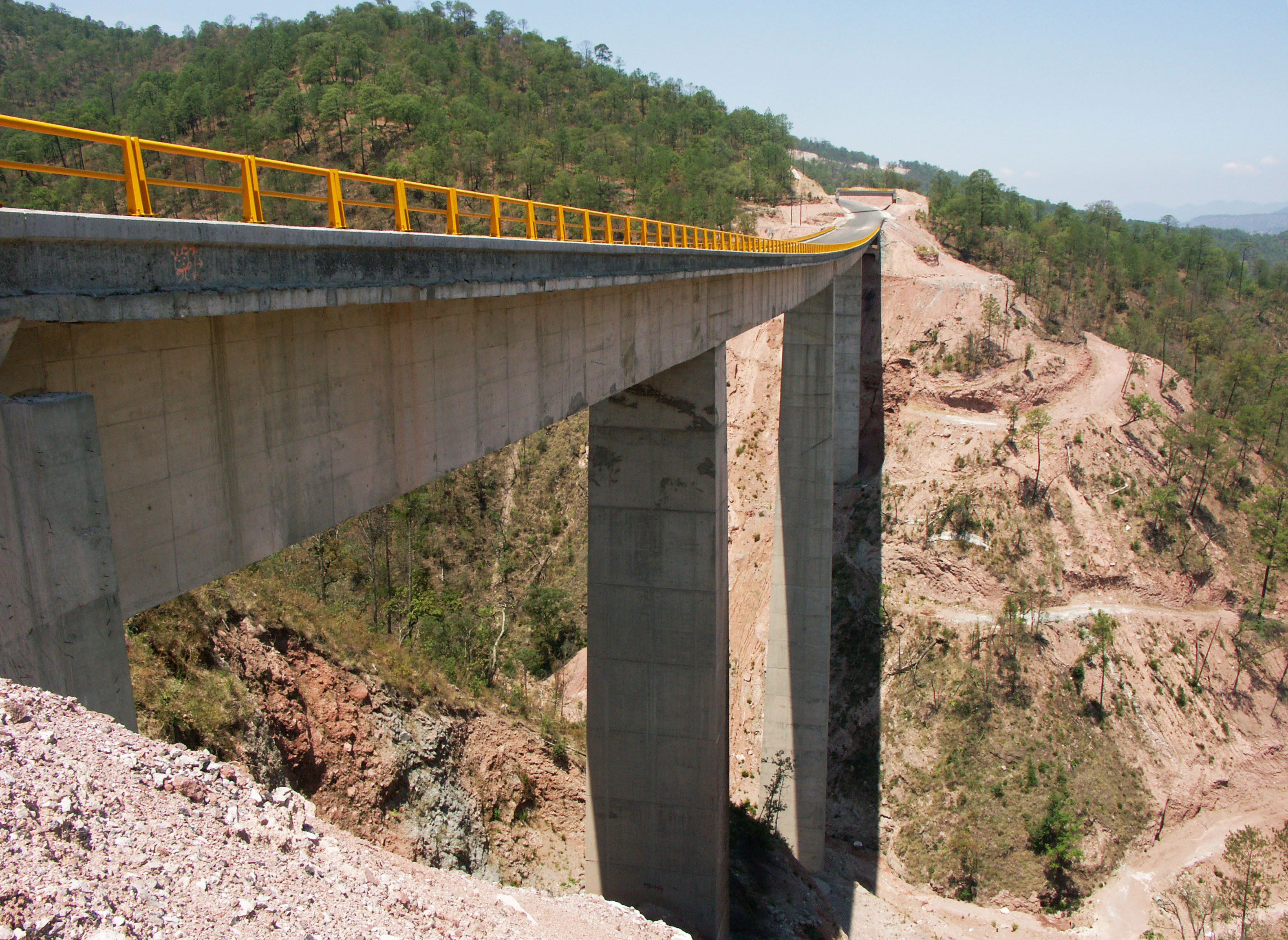
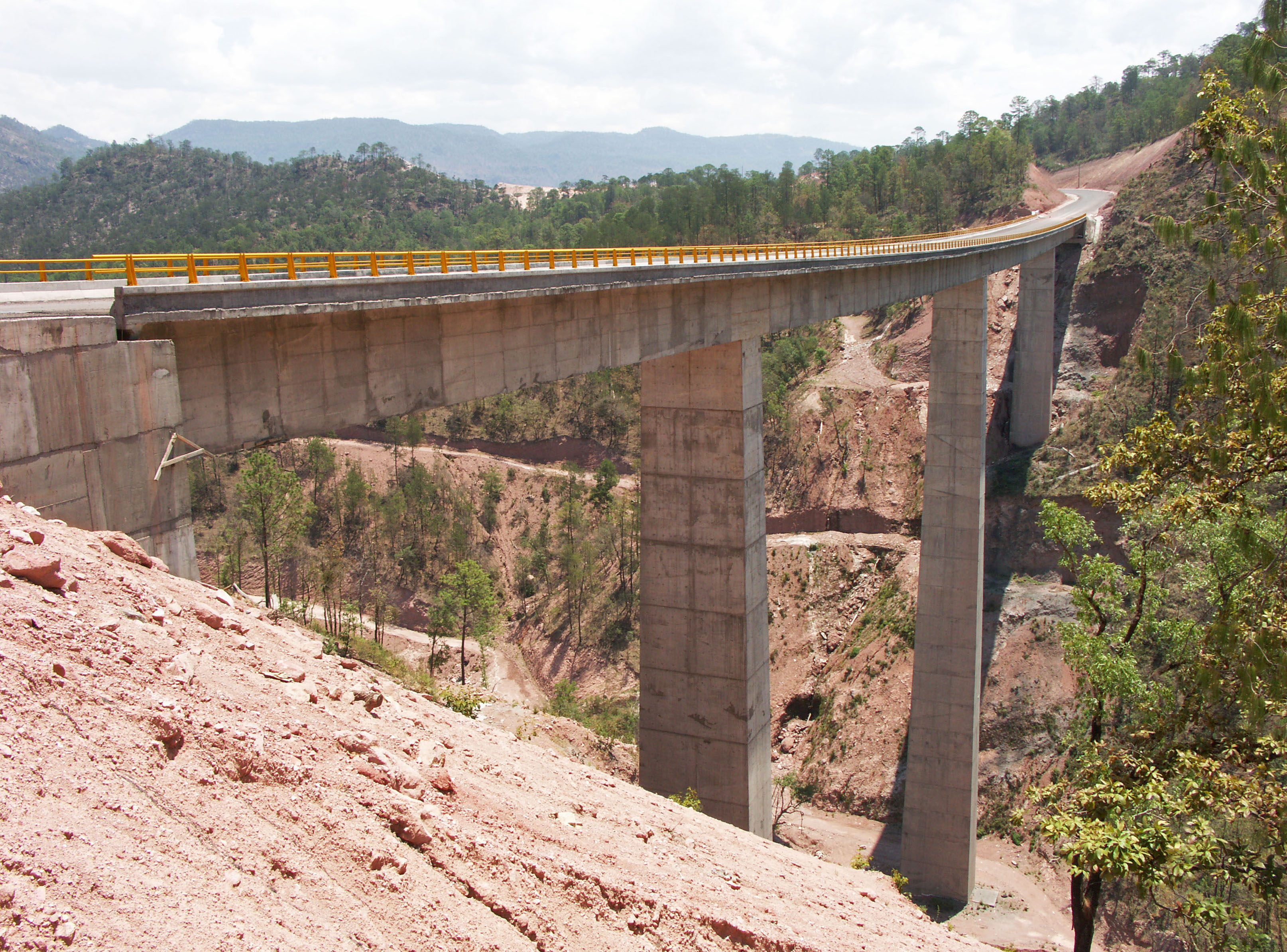
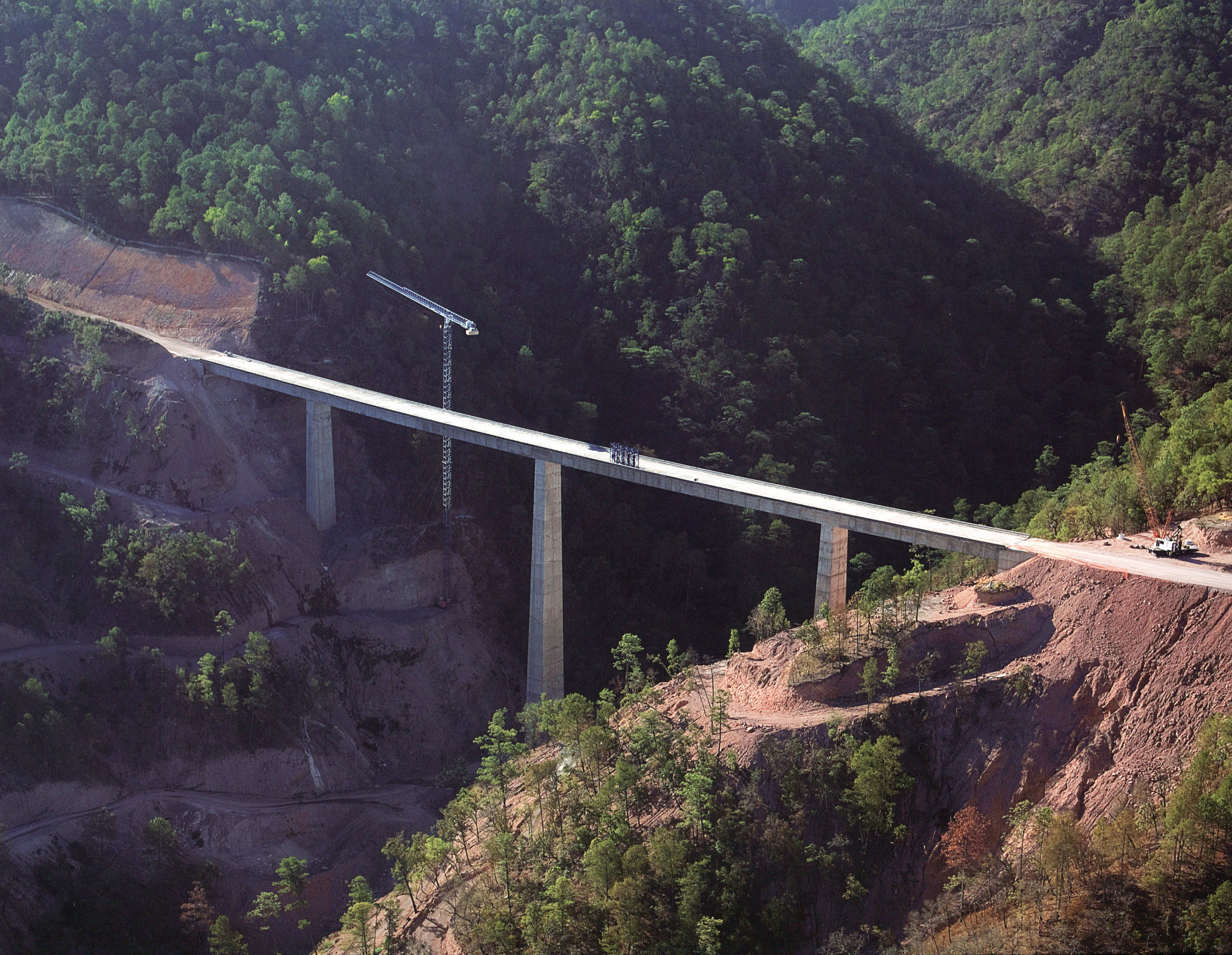
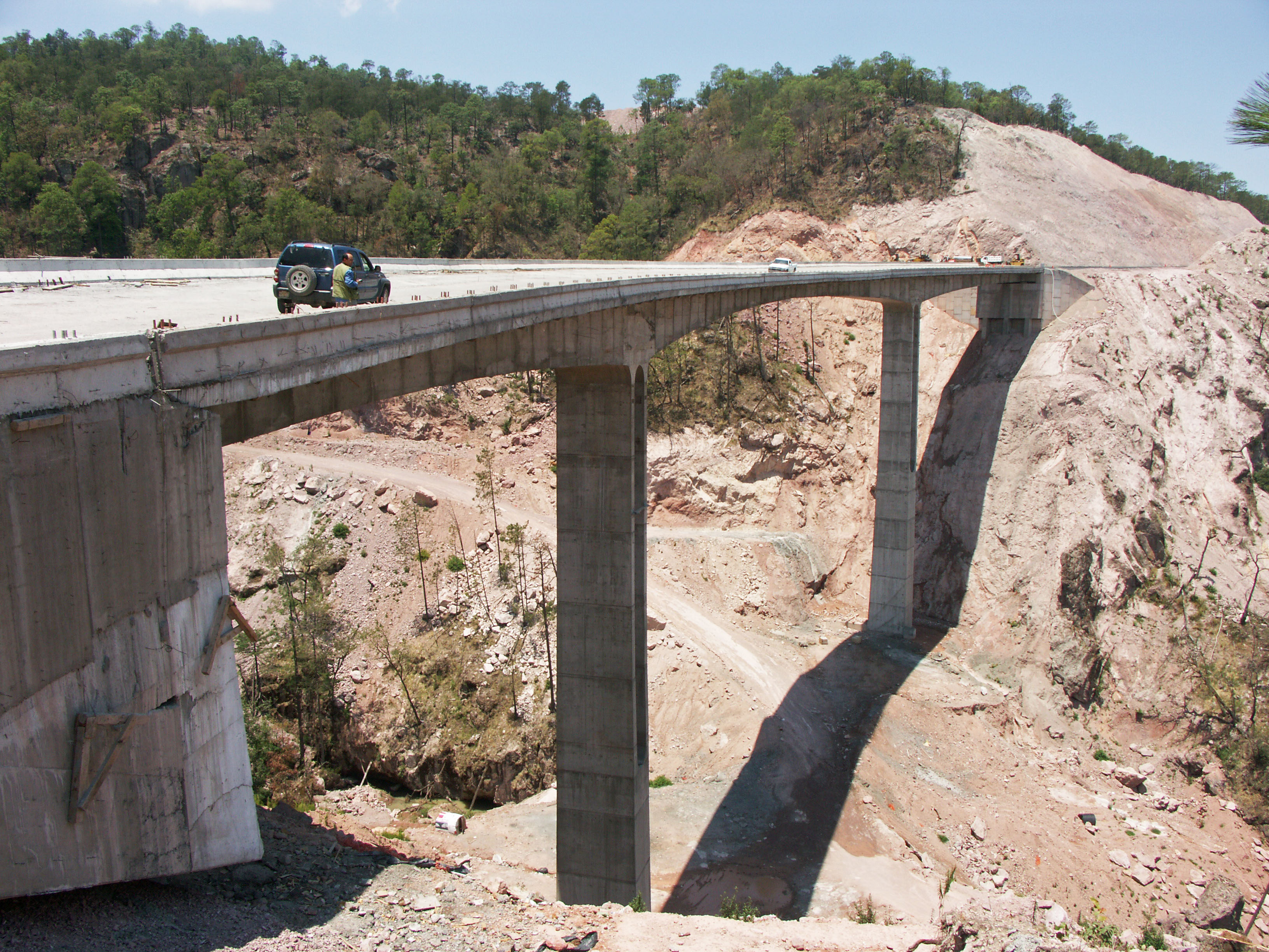
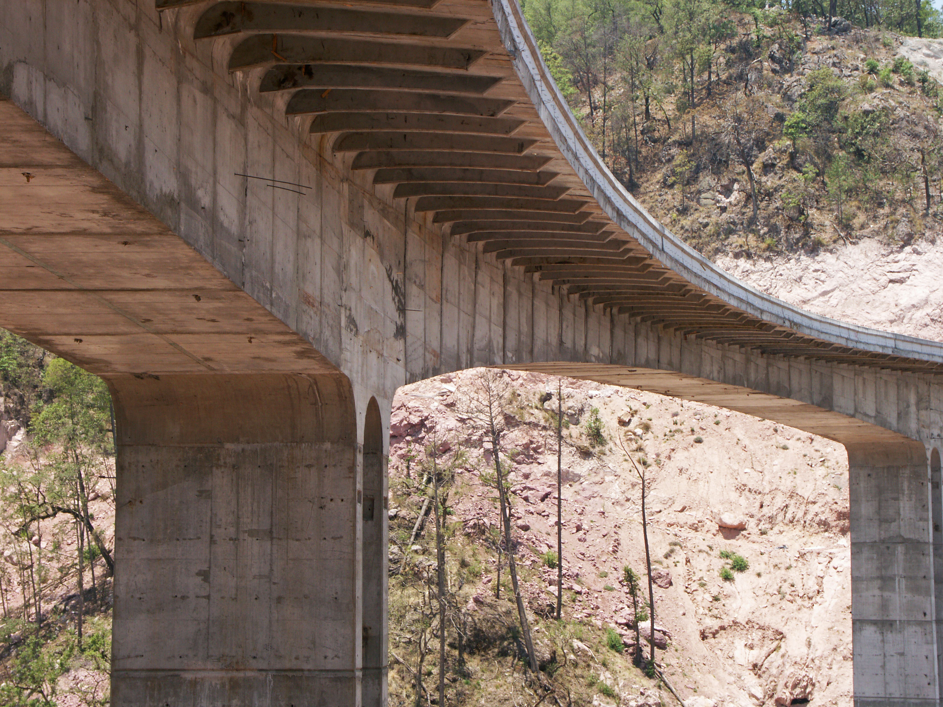
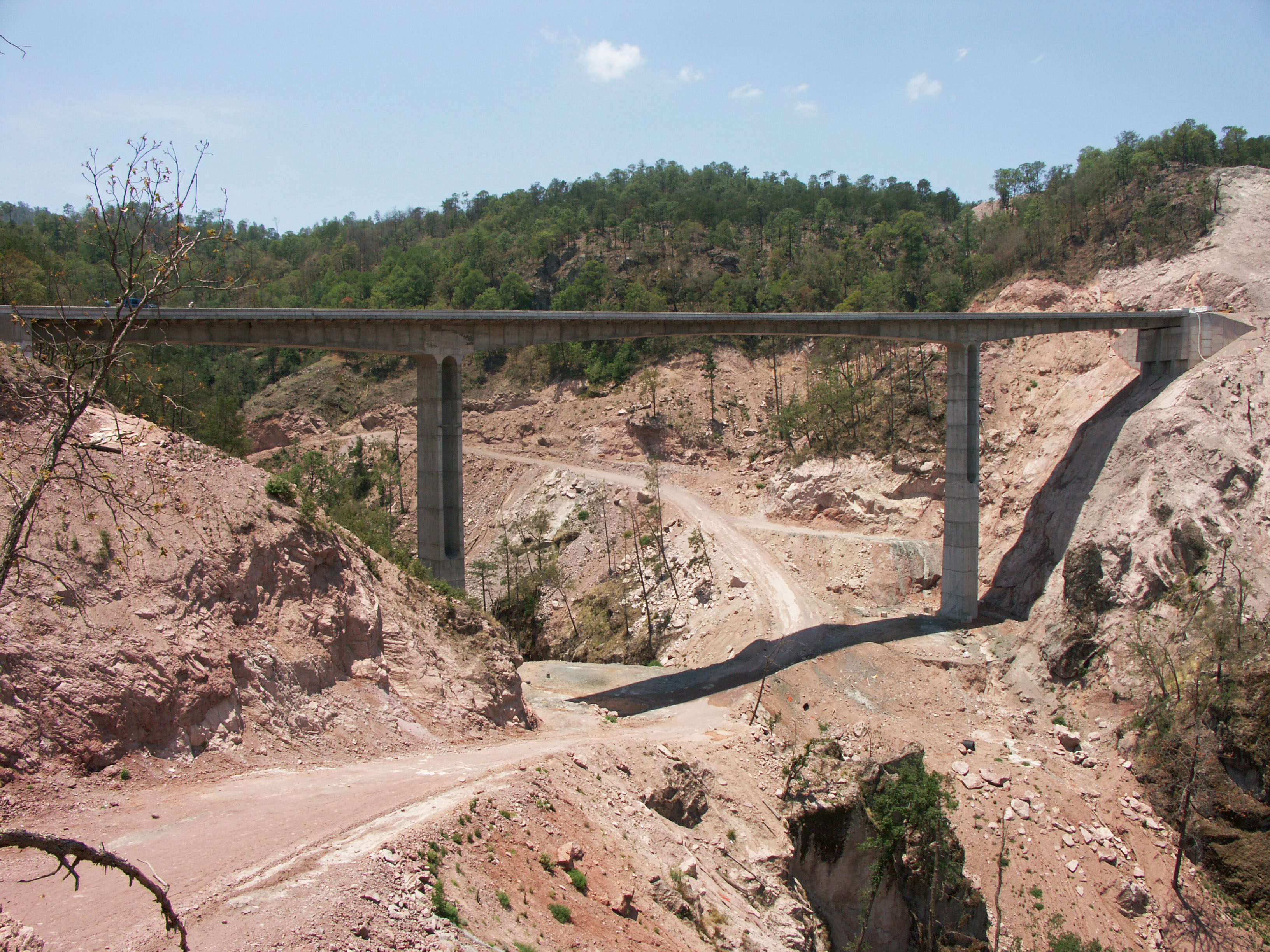
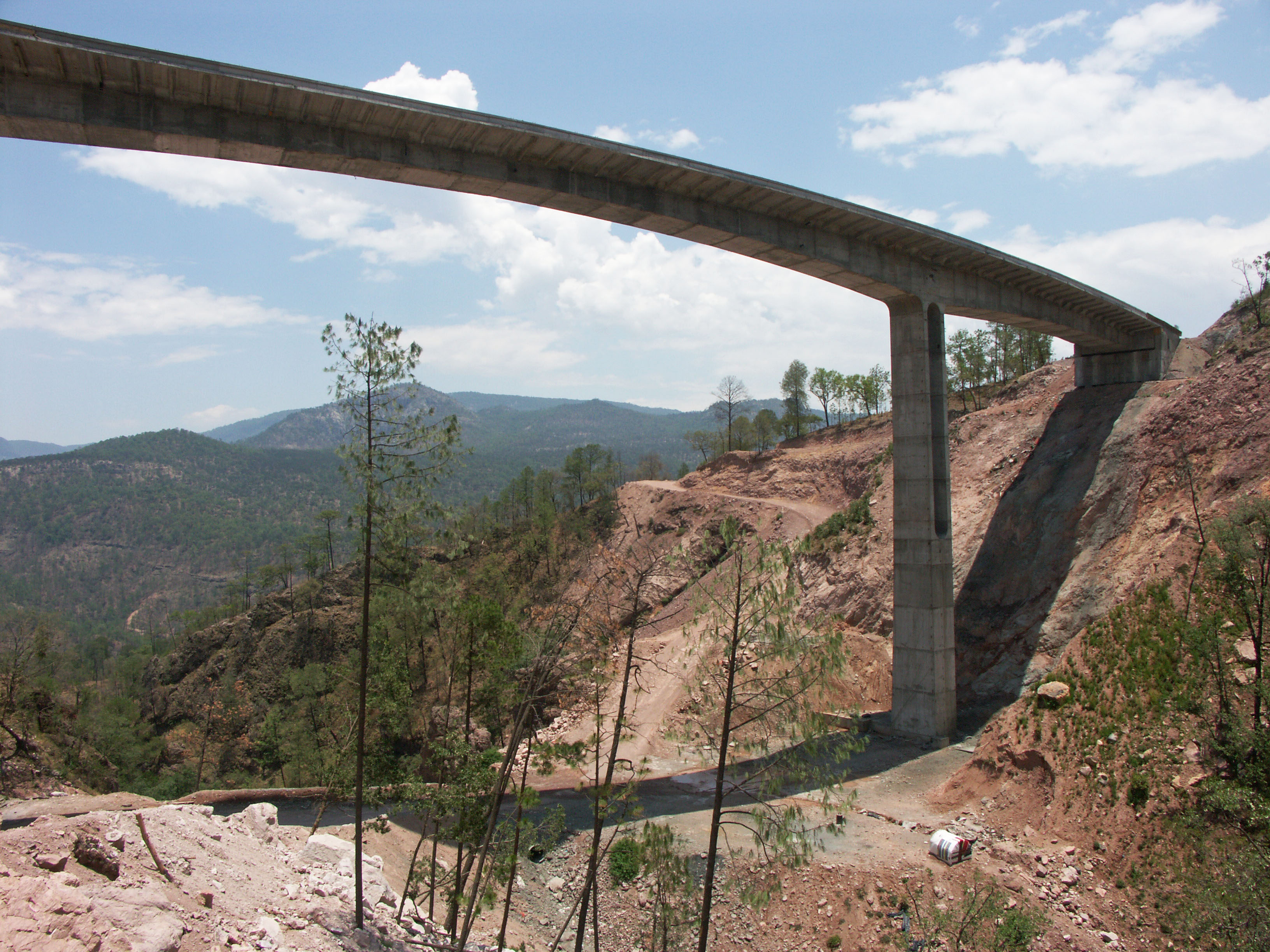
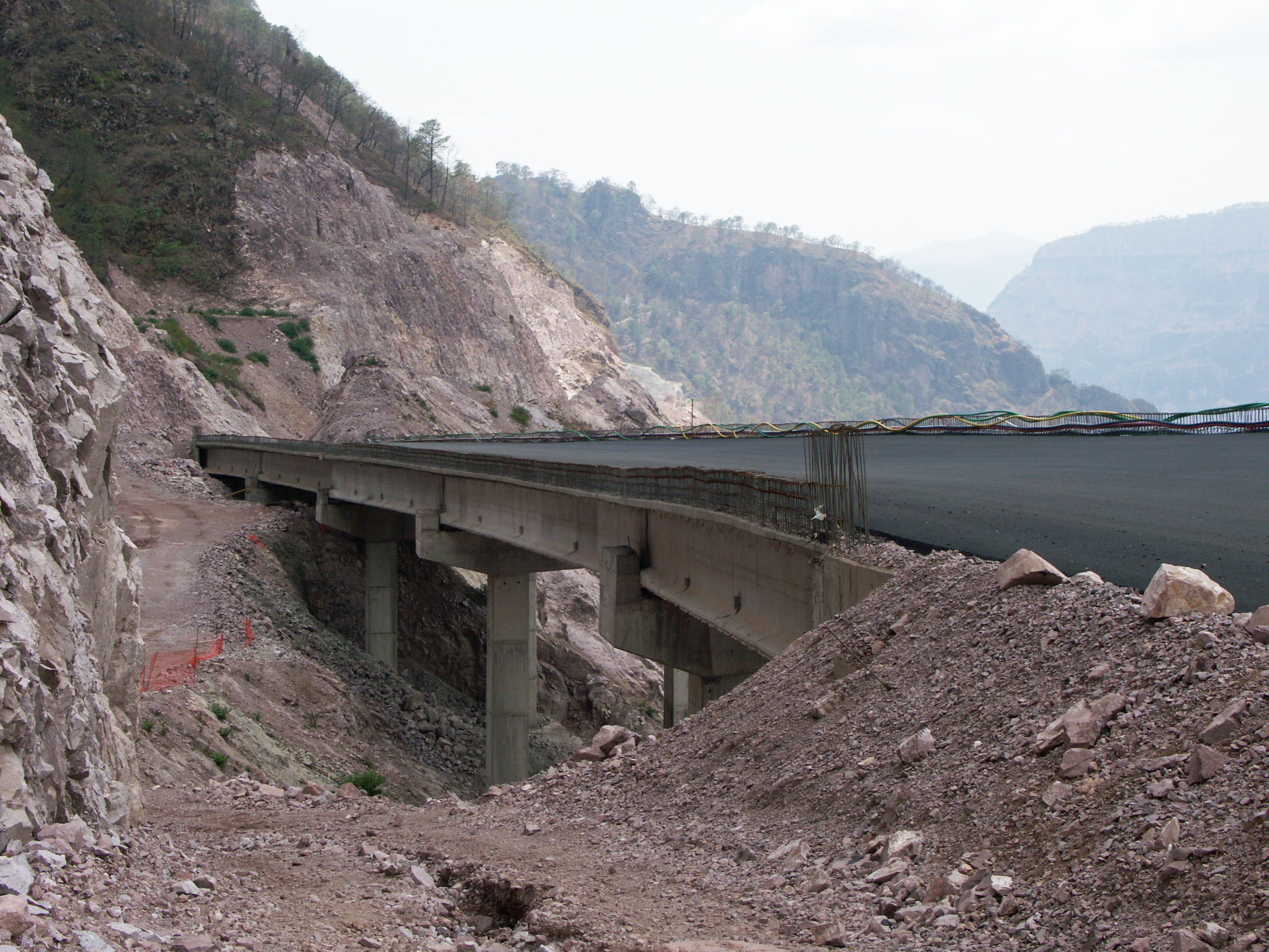
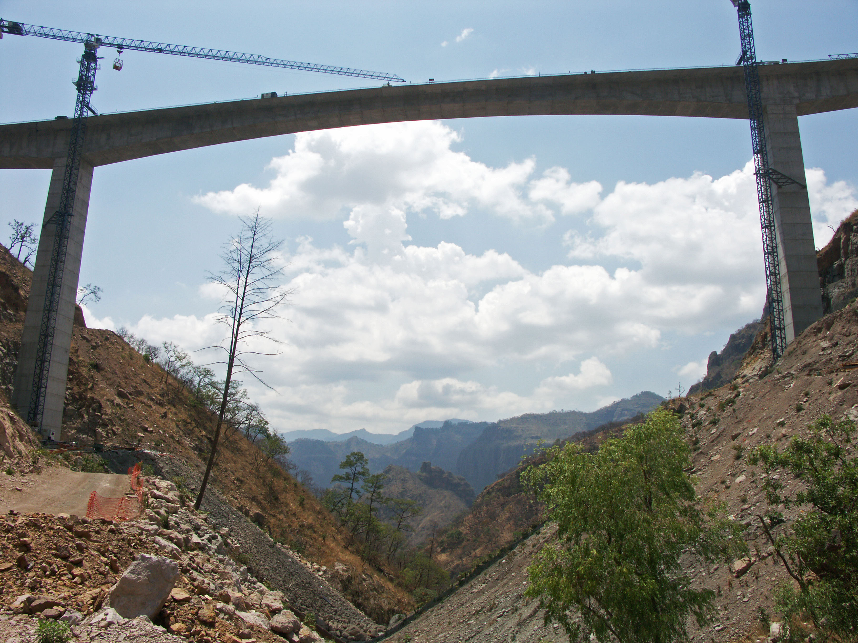
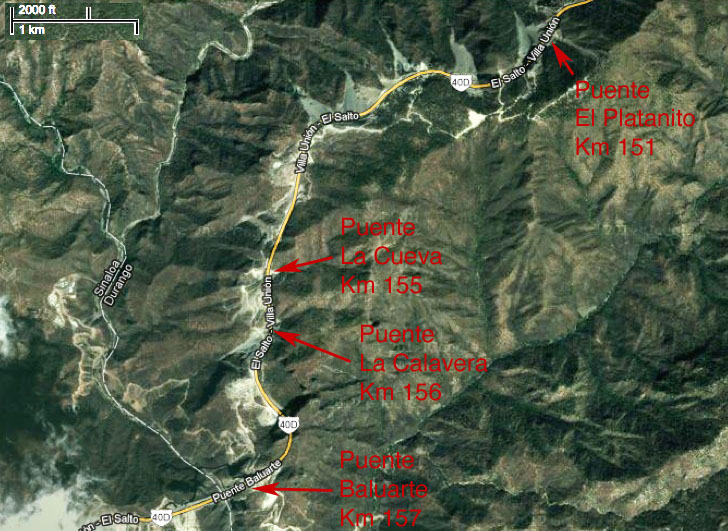
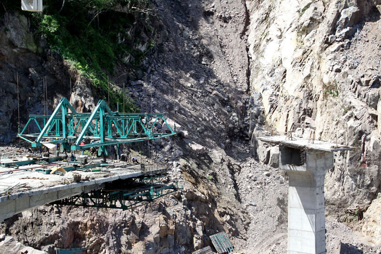
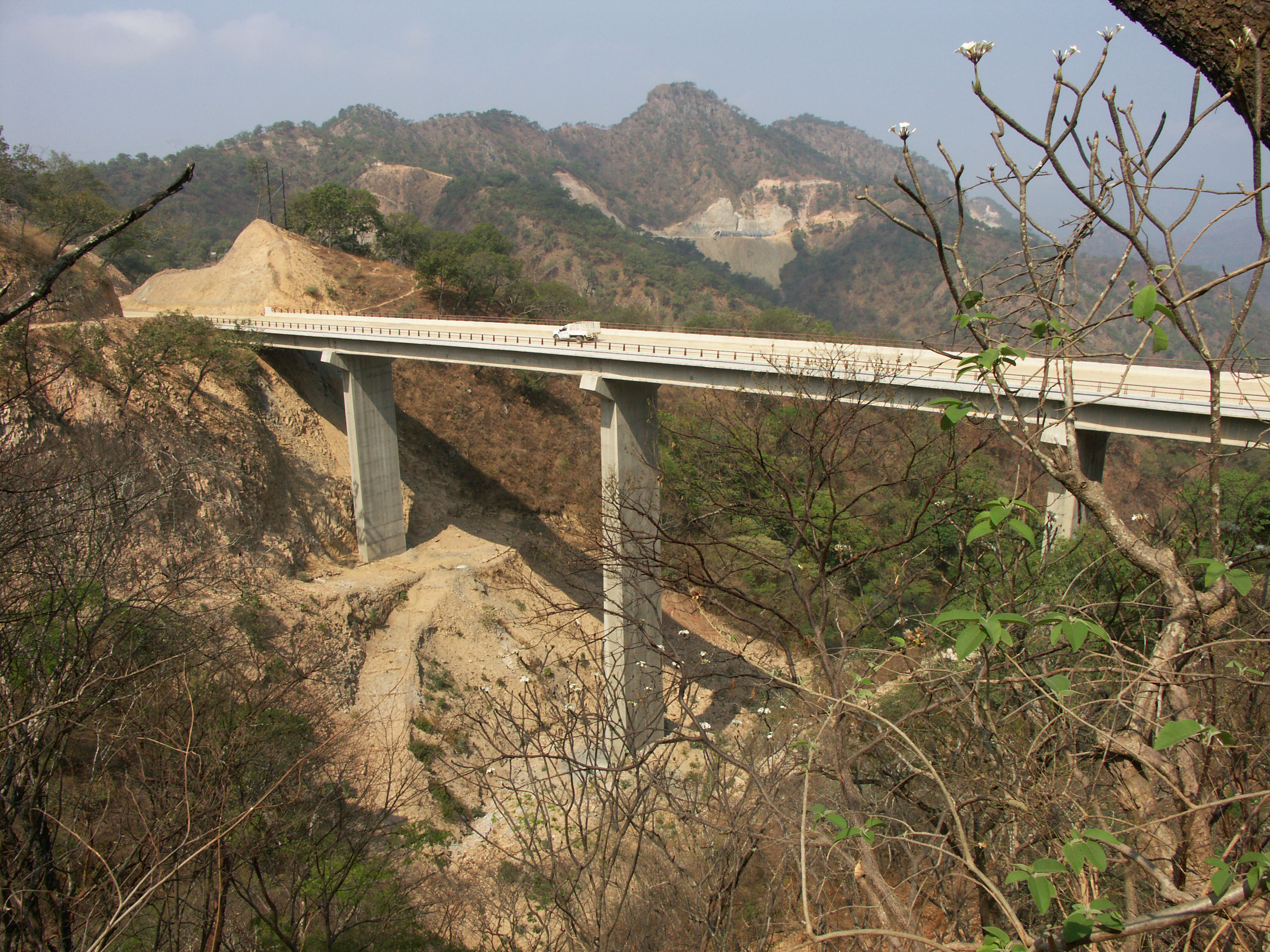
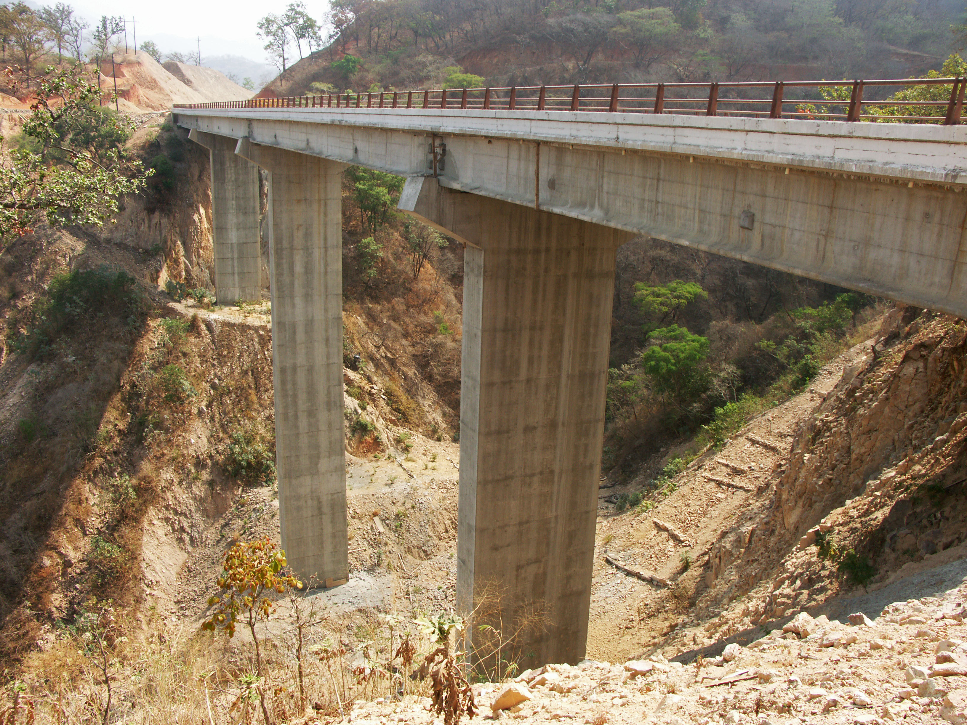
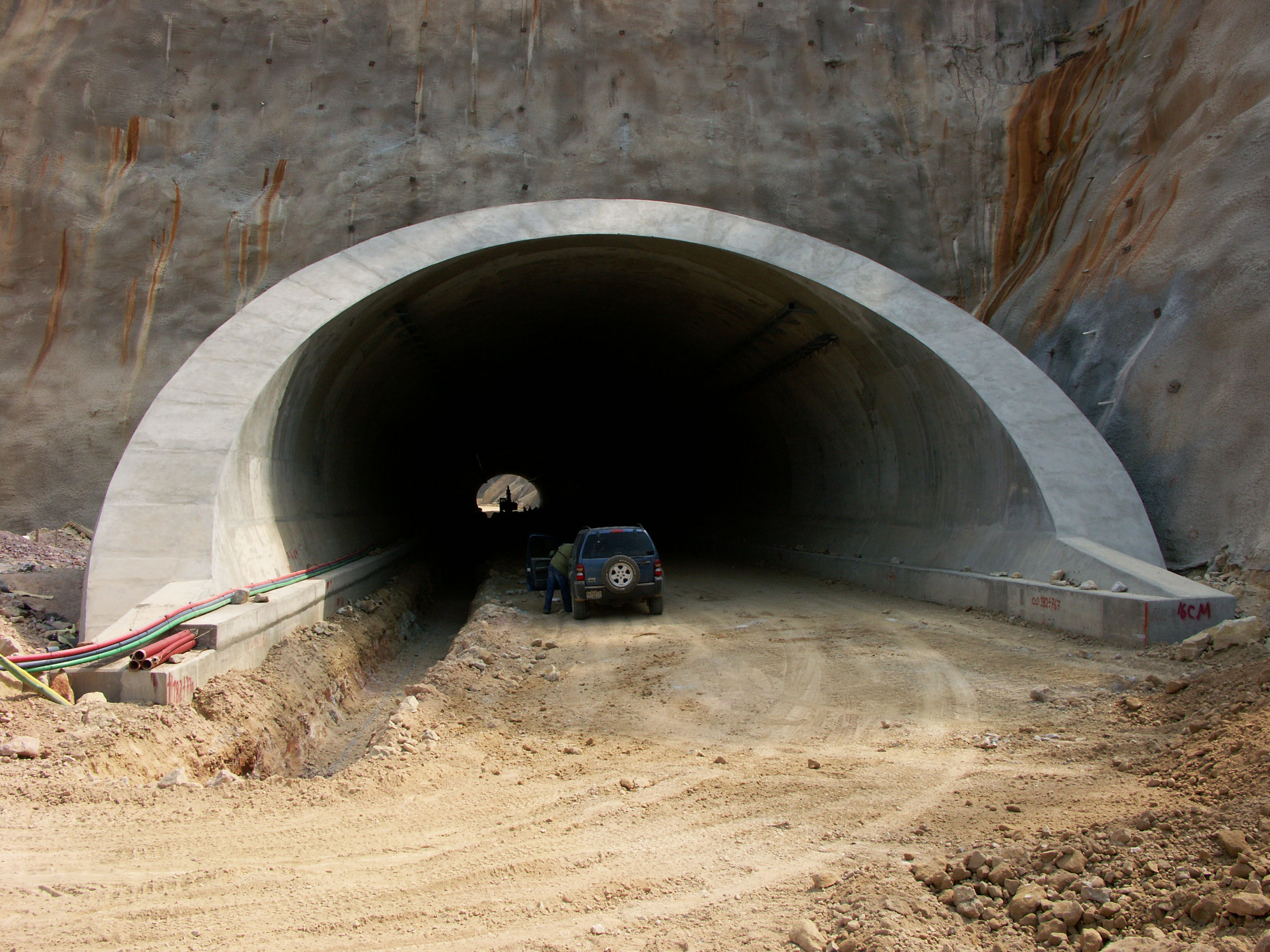
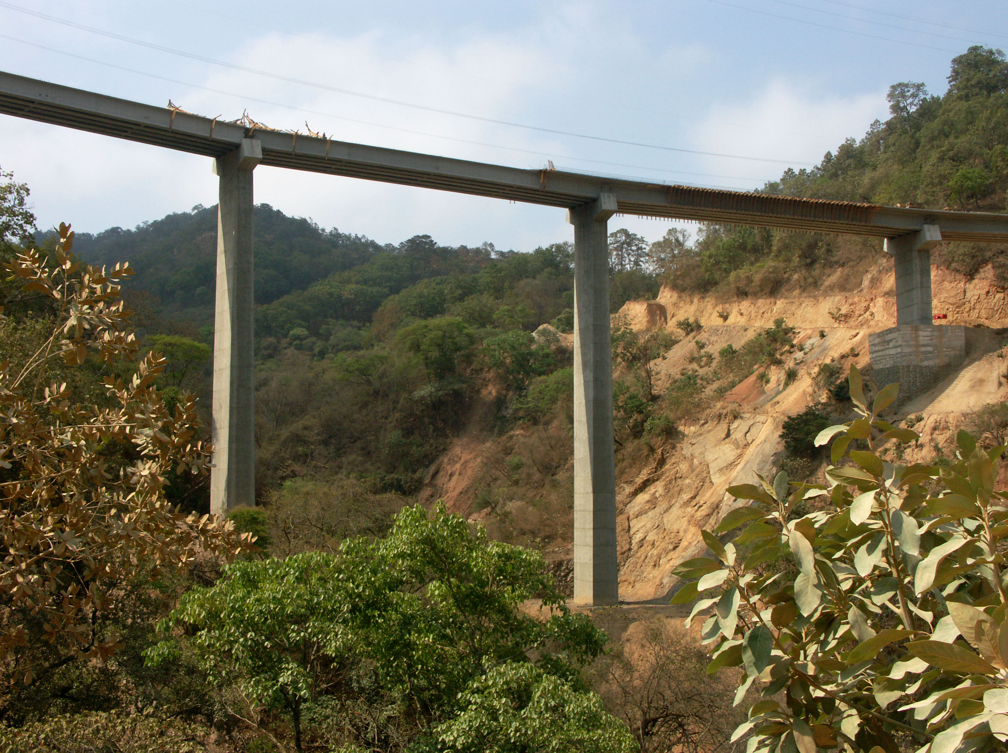
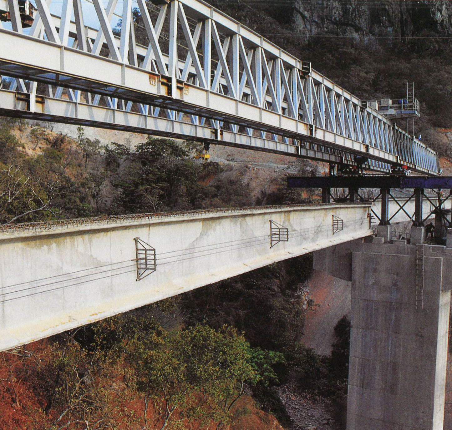
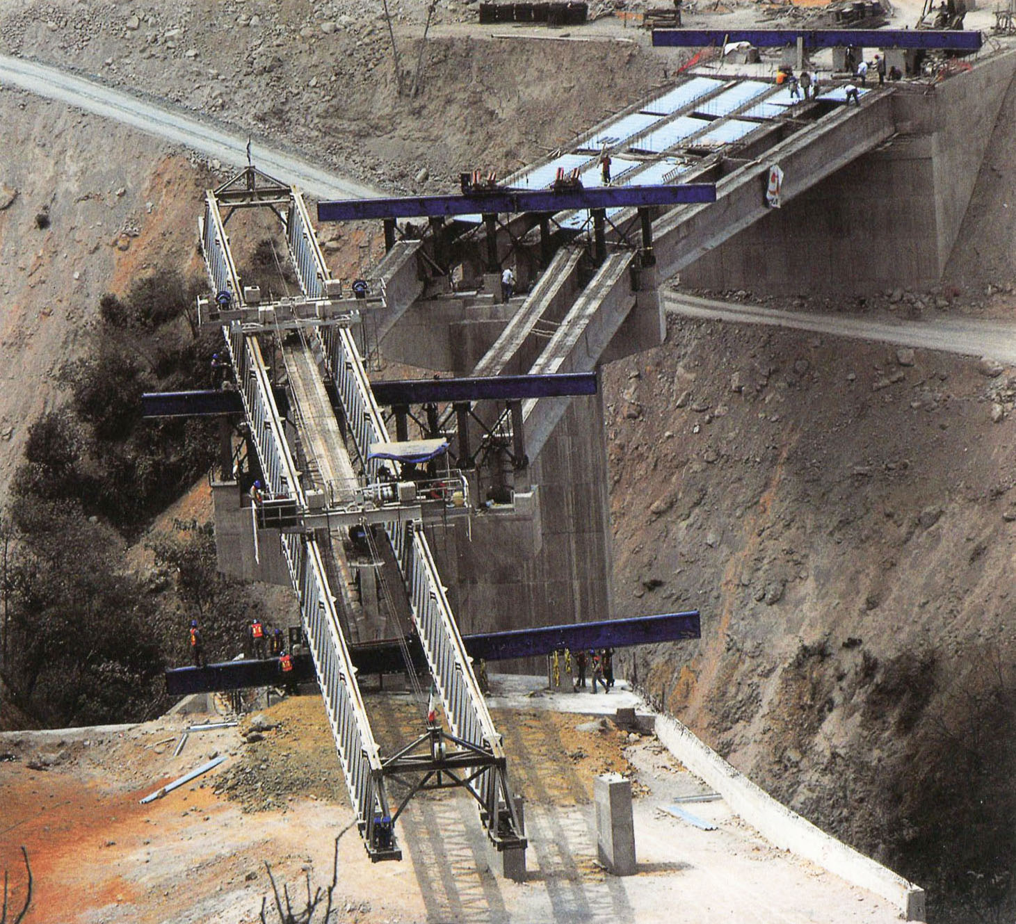
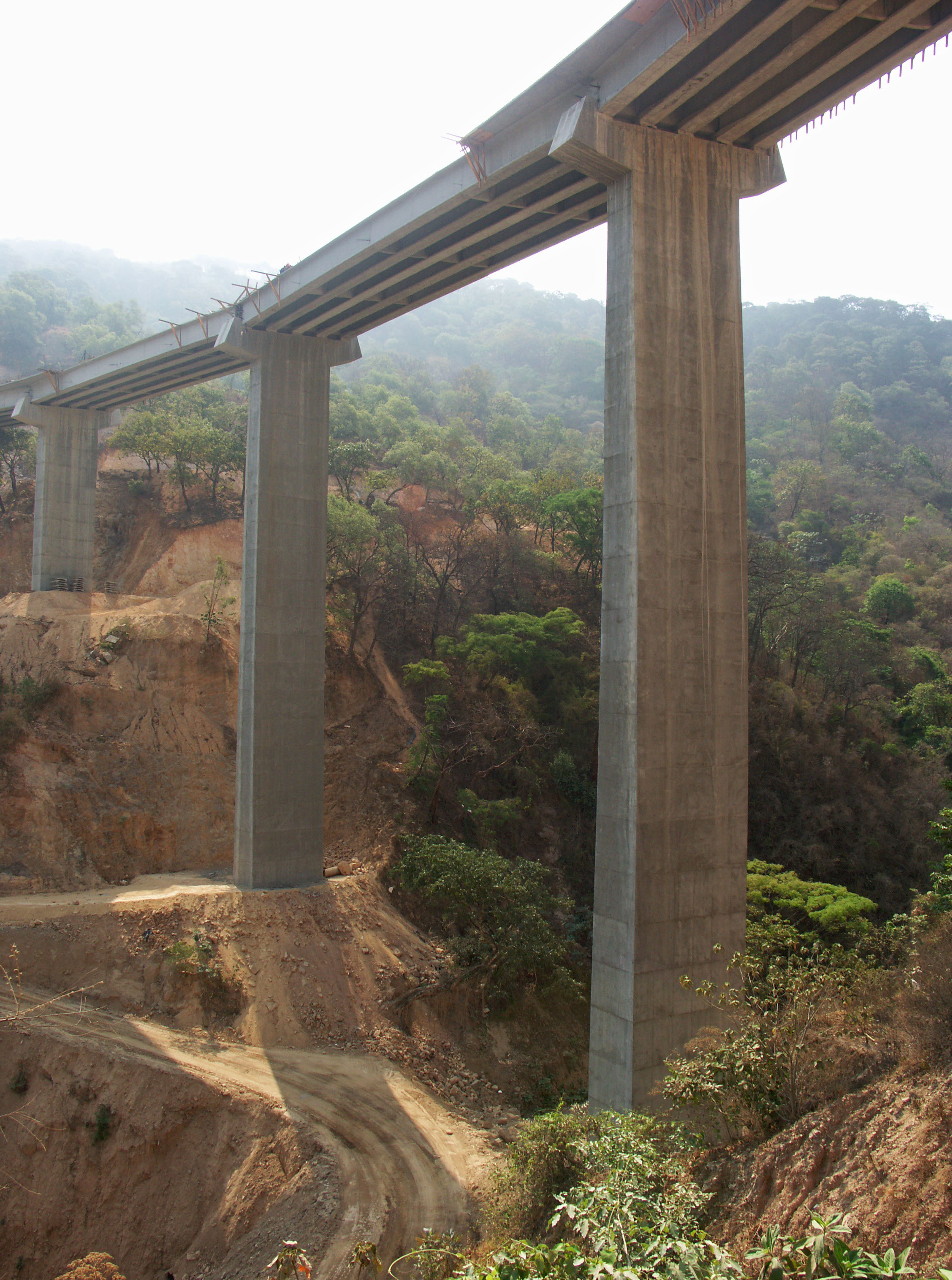
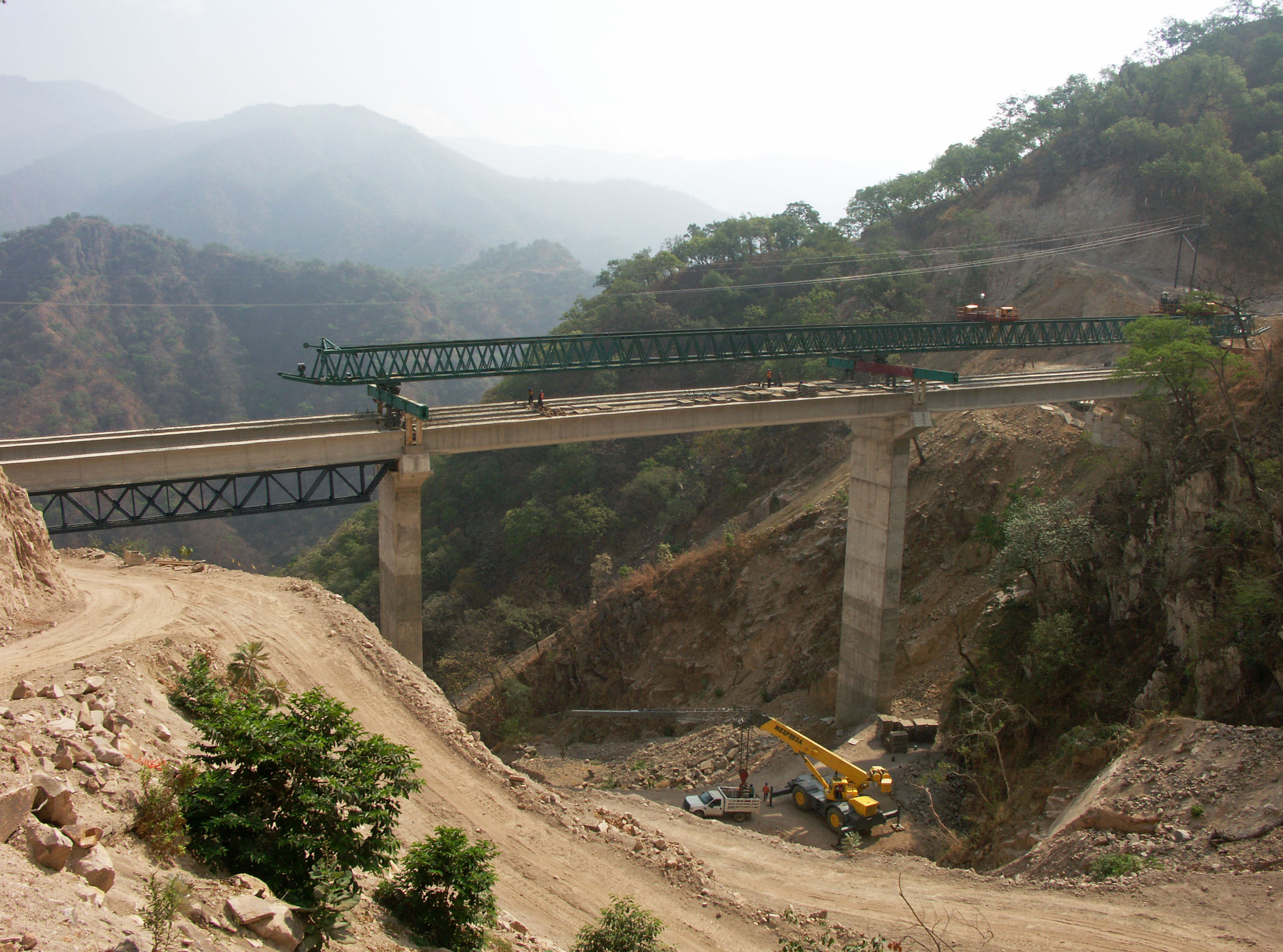
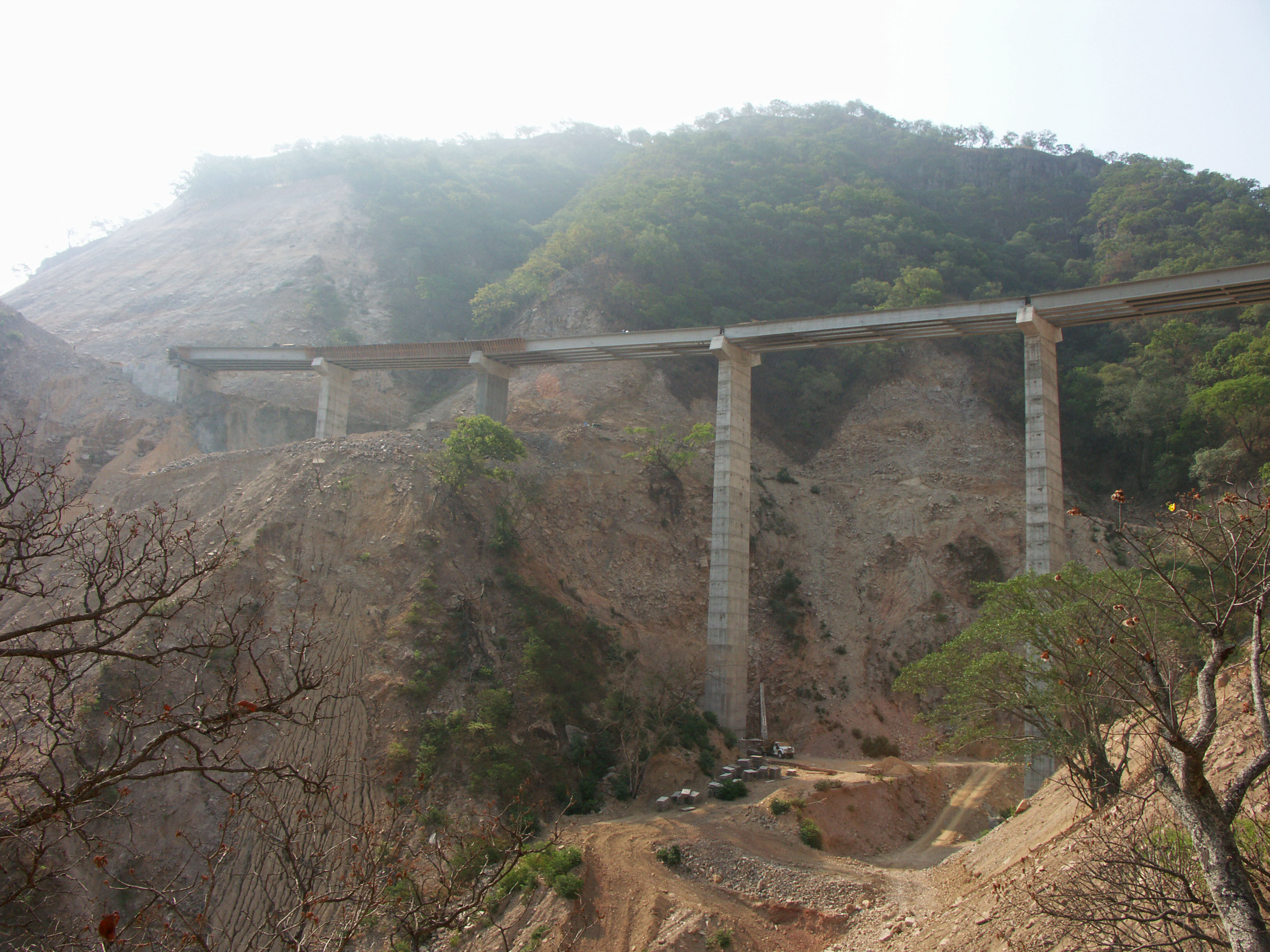
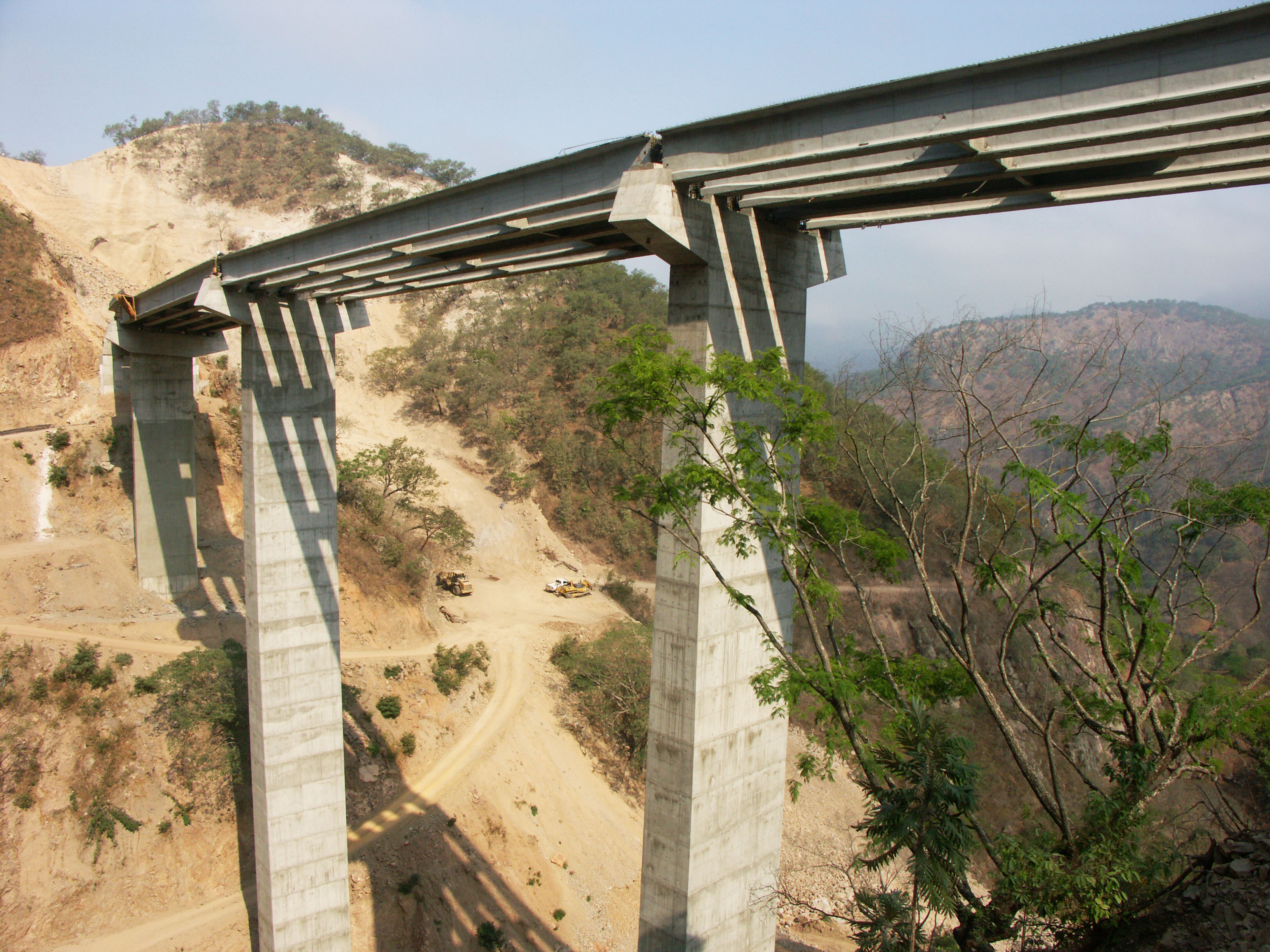
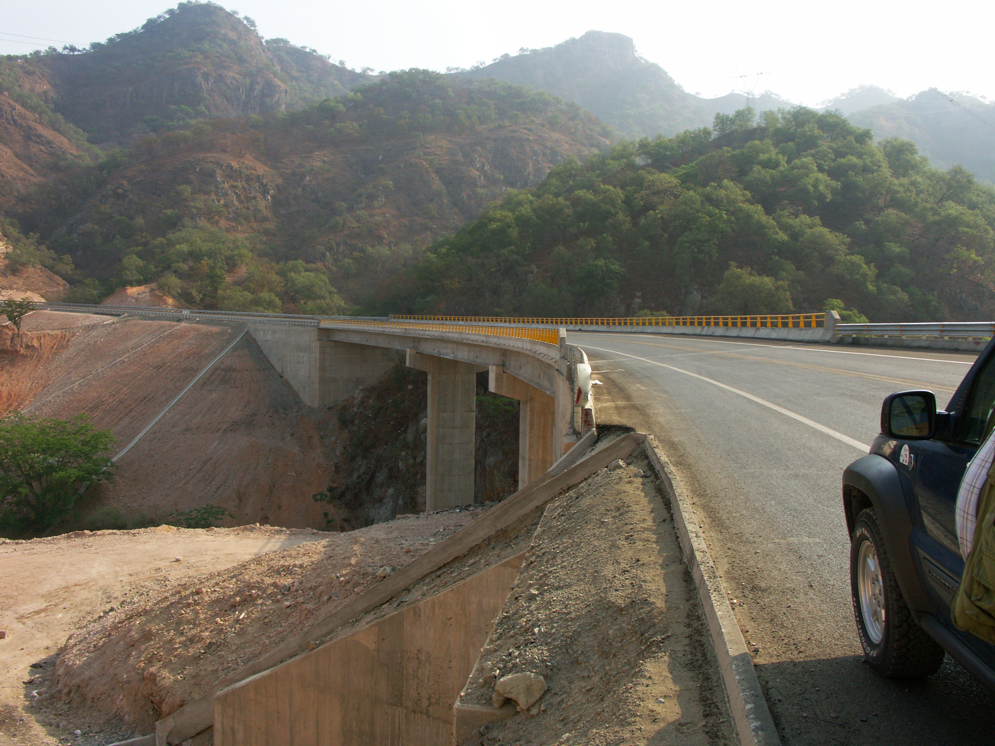
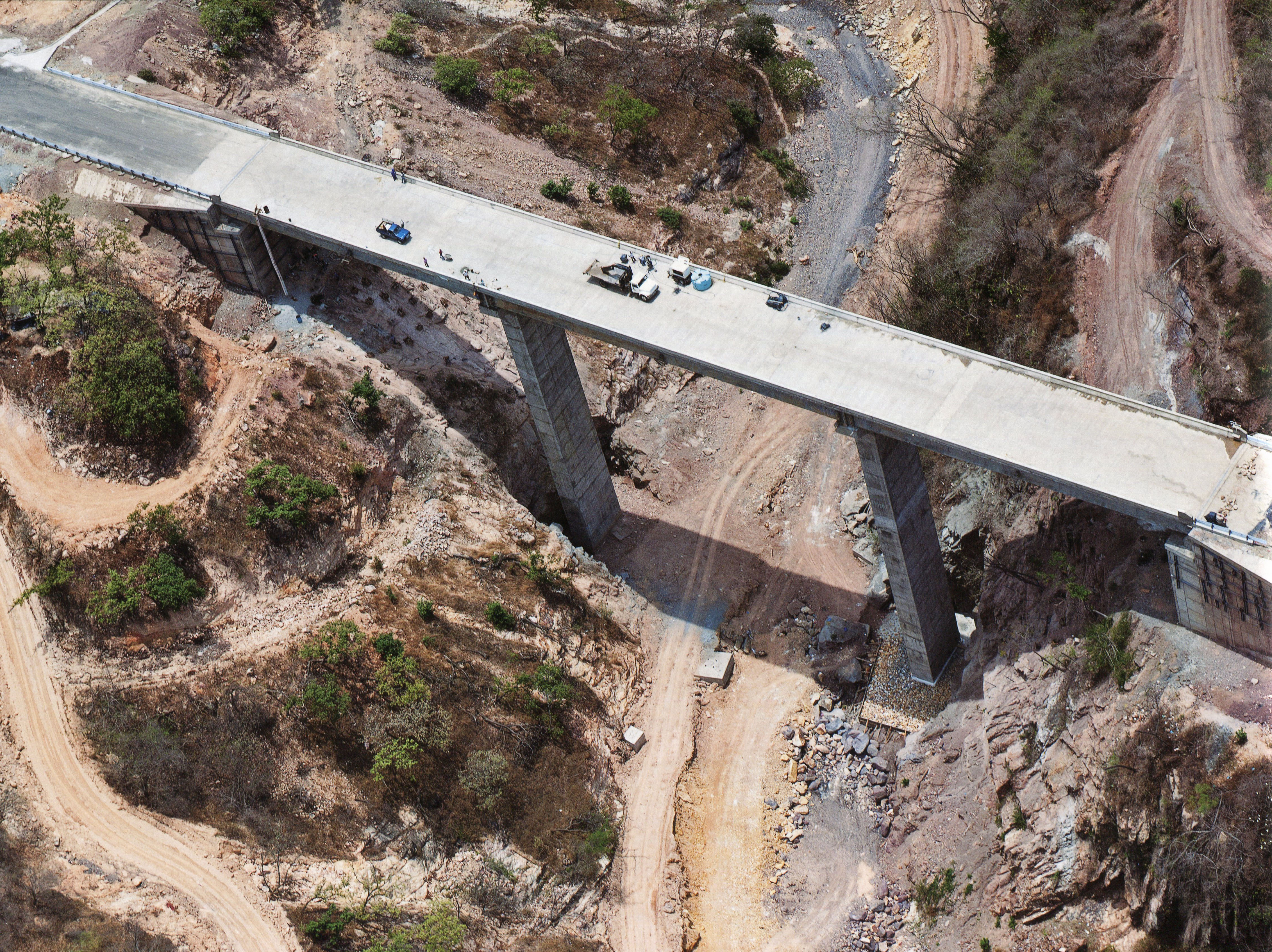
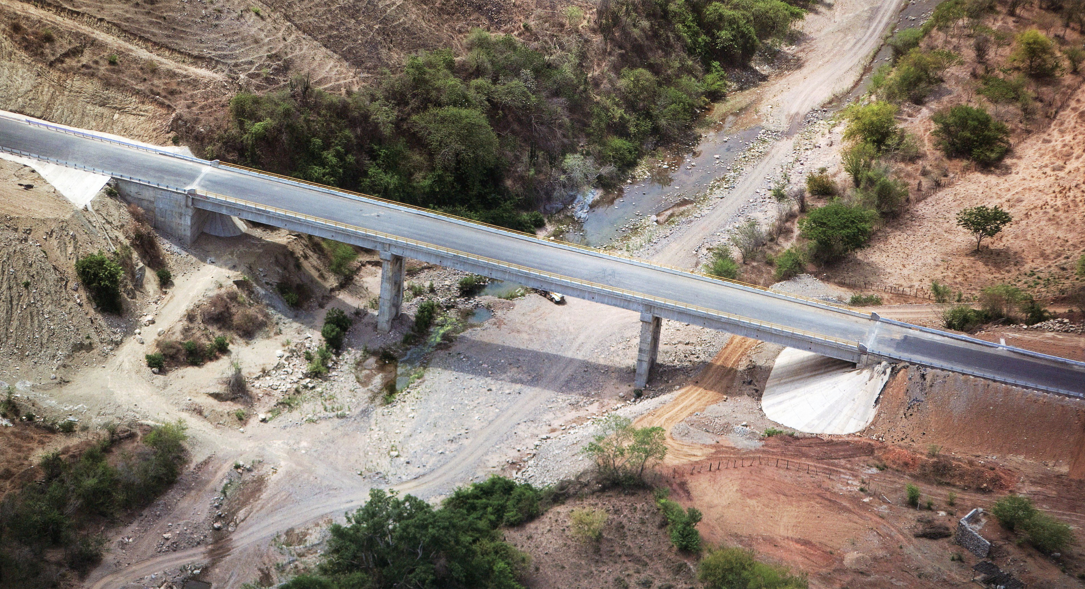
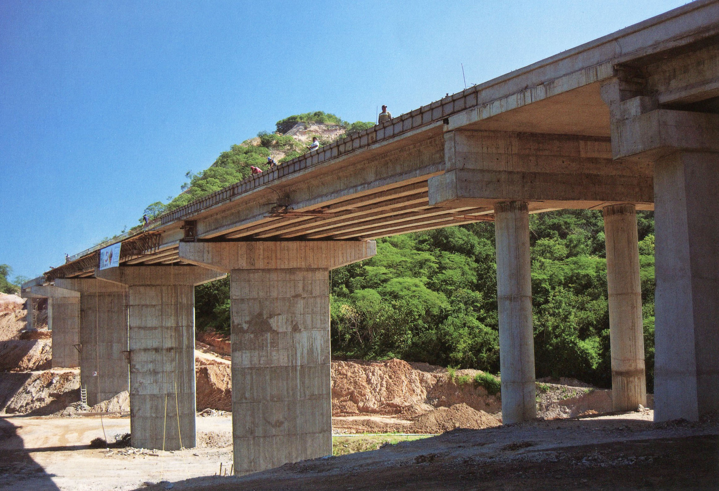
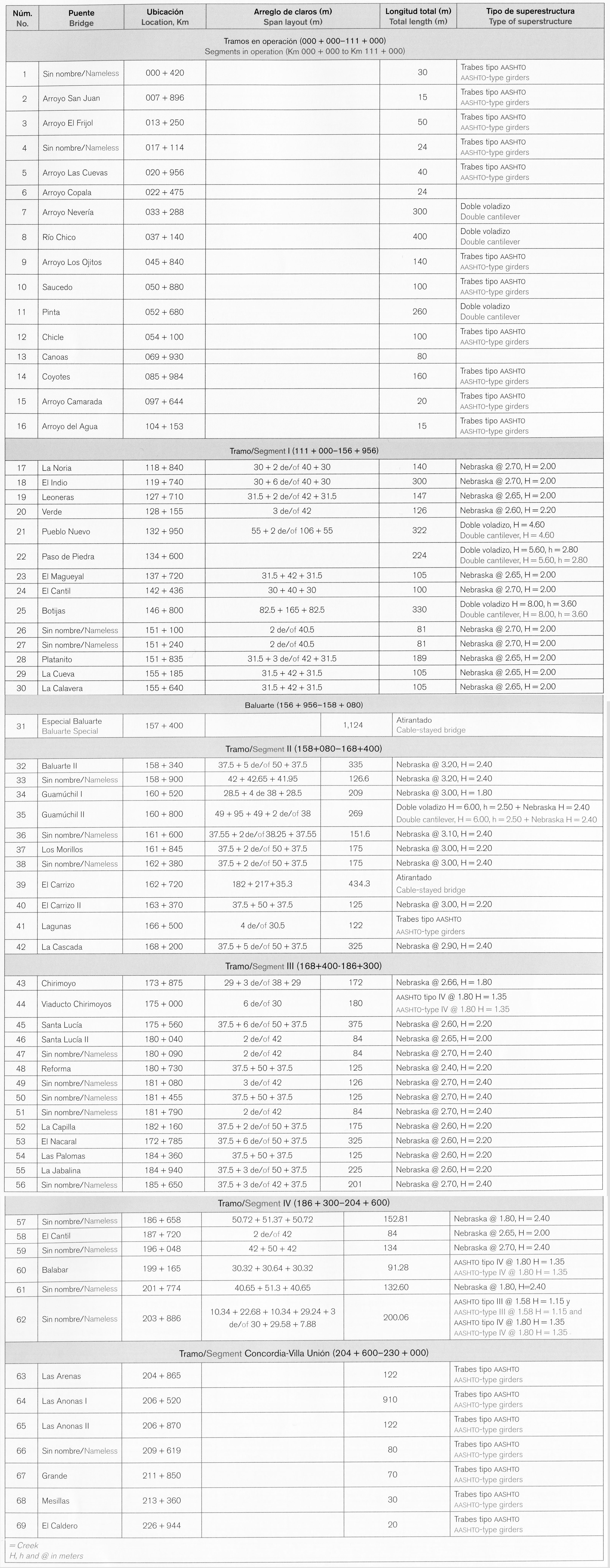
The following is a select group of images taken during a June, 2012 visit to the central portion of the Durango-Mazatlán highway as well as images from the SCT. This construction tour focused on approximately 25 of the largest bridges on the highway with a special emphasis on the spans of the central 94 kilometers between El Salto and Concordia that will finally be open to traffic in the summer of 2013.
The vast majority of the 69 bridges are Nebraska-type concrete girder spans. The eight largest beam bridges are double cantilever while the 2 longest and highest crossings are cable stayed. The 230 kilometer highway also has 61 tunnels including the 2.8 kilometer El Sinaloense tunnel.
Image by Eric Sakowski / HighestBridges.com
Puentes de kilómetros 30 - 40
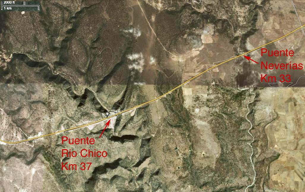
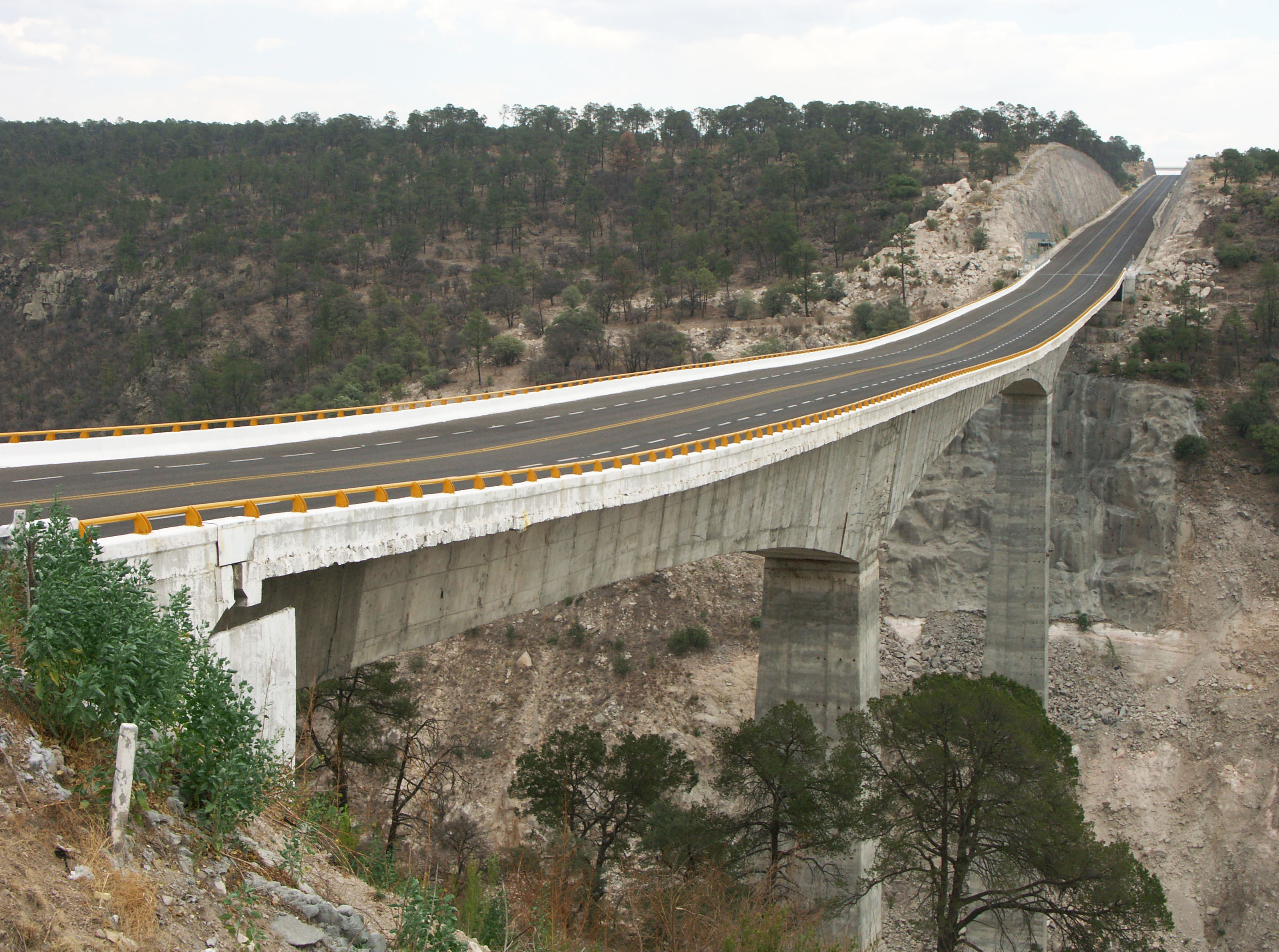
Puente Neverías en el kilómetro 33. Image by Eric Sakowski / HighestBridges.com
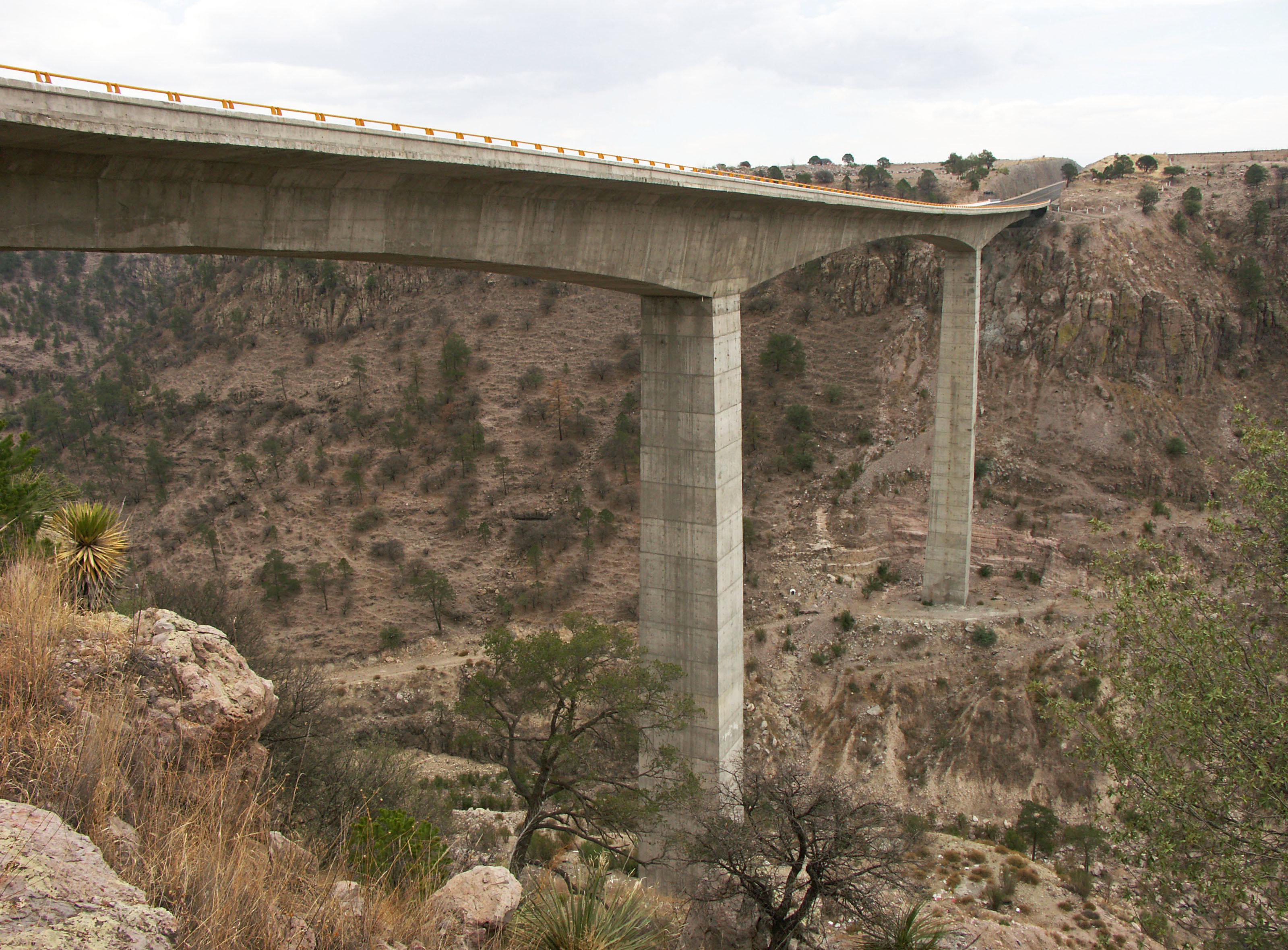
Puente Rio Chico en el kilómetro 37. Image by Eric Sakowski / HighestBridges.com
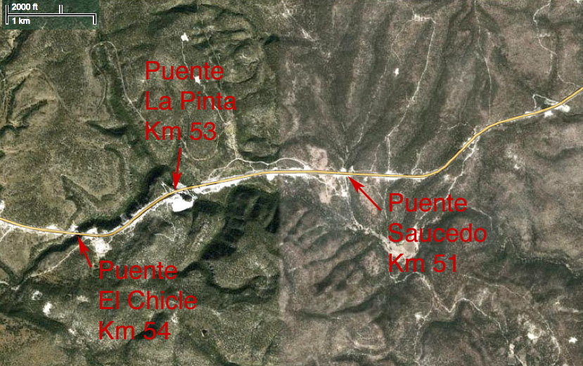
Puentes de kilómetros 50 - 55
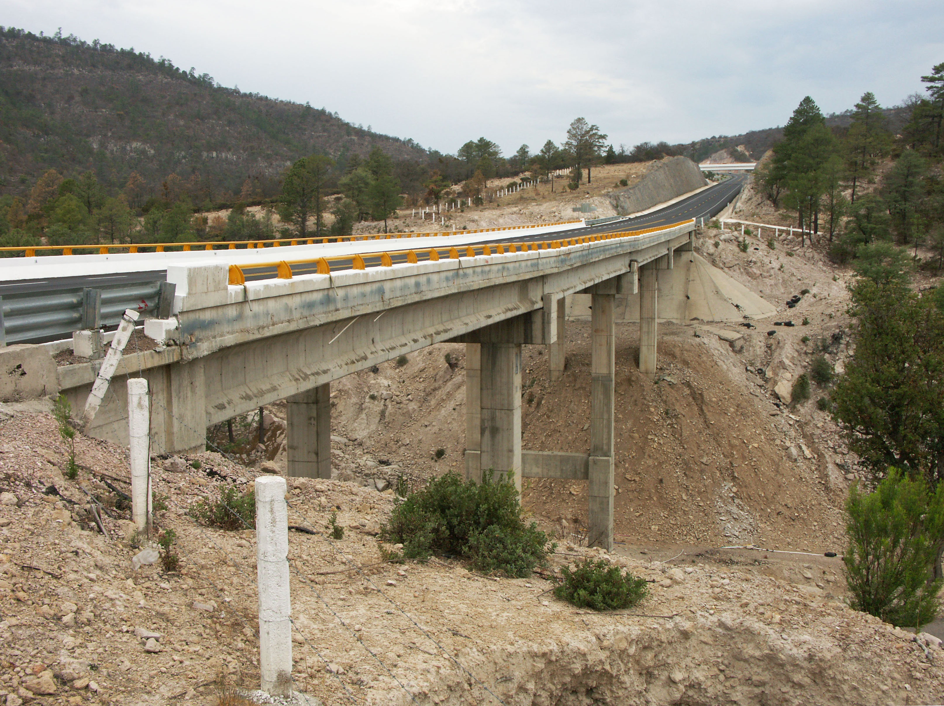
Puente Saucedo en el kilómetro 51. Image by Eric Sakowski / HighestBridges.com
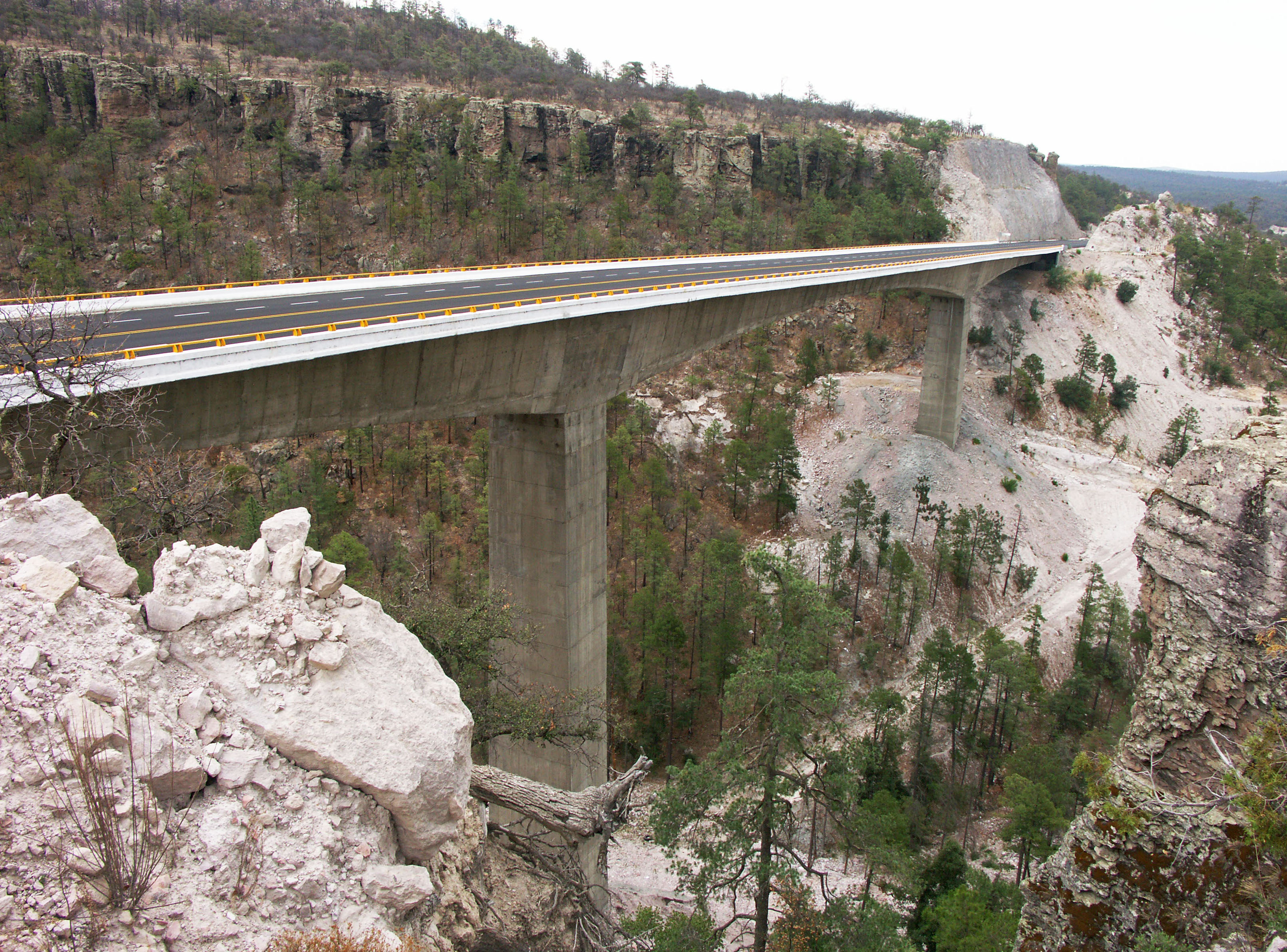
Puente La Pinta en el kilómetro 53. Puente está a 70 metros de altura. Image by Eric Sakowski / HighestBridges.com
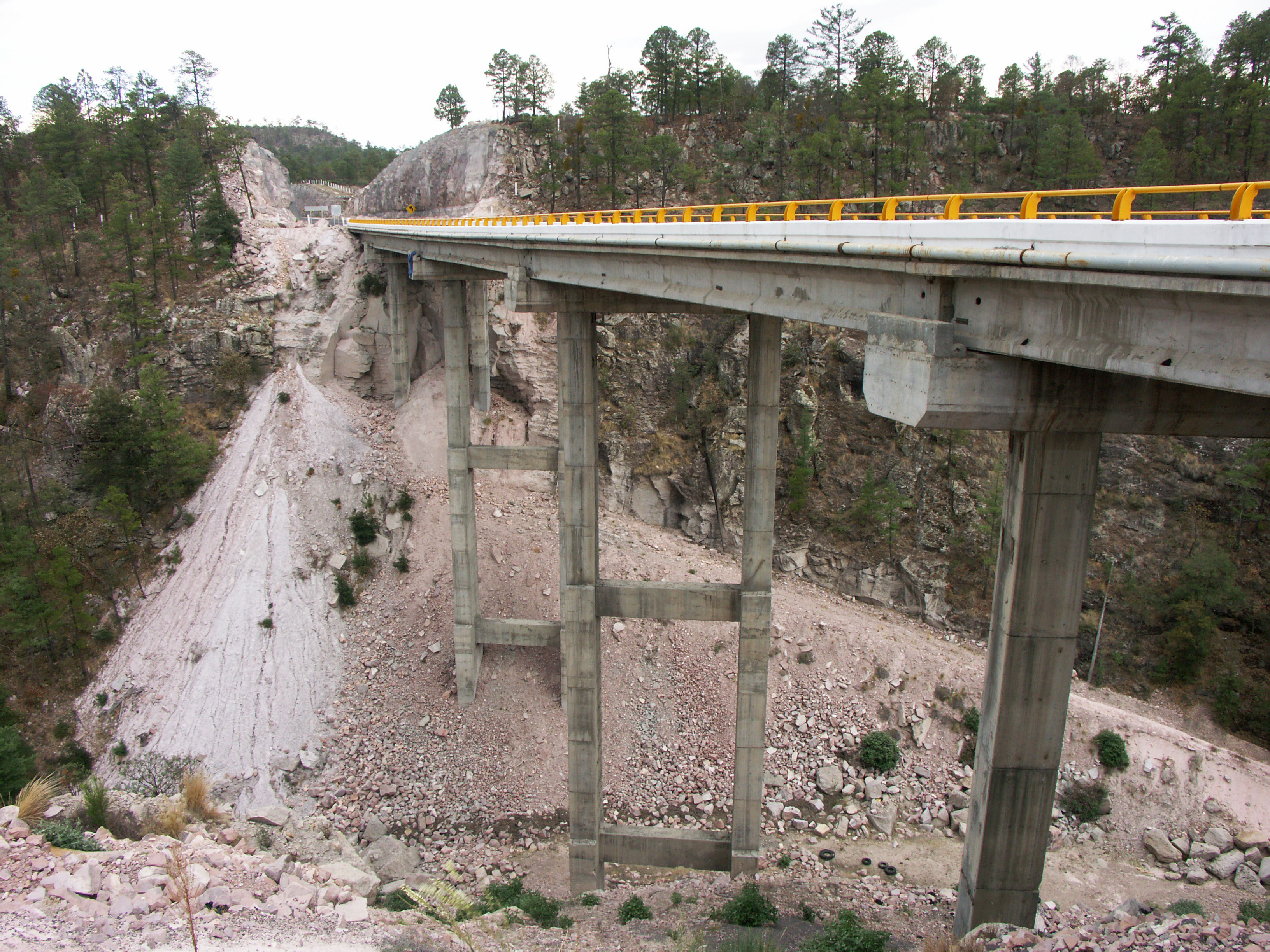
Puente El Chicle en el kilómetro 54. Image by Eric Sakowski / HighestBridges.com
Puente Rio Canoas en el kilómetro 70. Image by Eric Sakowski / HighestBridges.com
Puente Coyotes. Image by SCT
Puente La Noria y El Indio en el kilómetro 120. Image by SCT
Puente El Indio. Image by SCT
Puente El Indio. Image by Eric Sakowski / HighestBridges.com
Carretera const K 127. Image by SCT
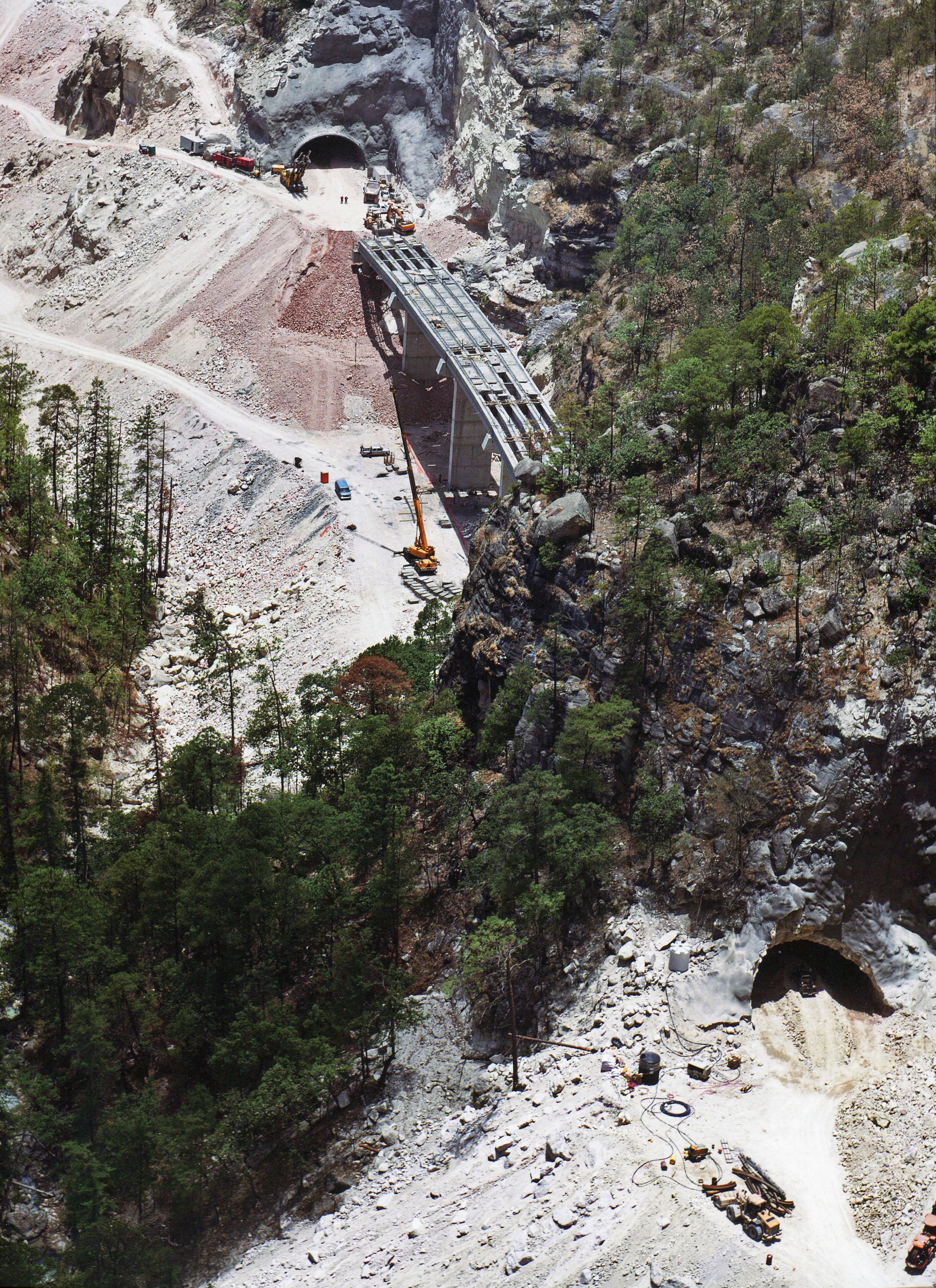
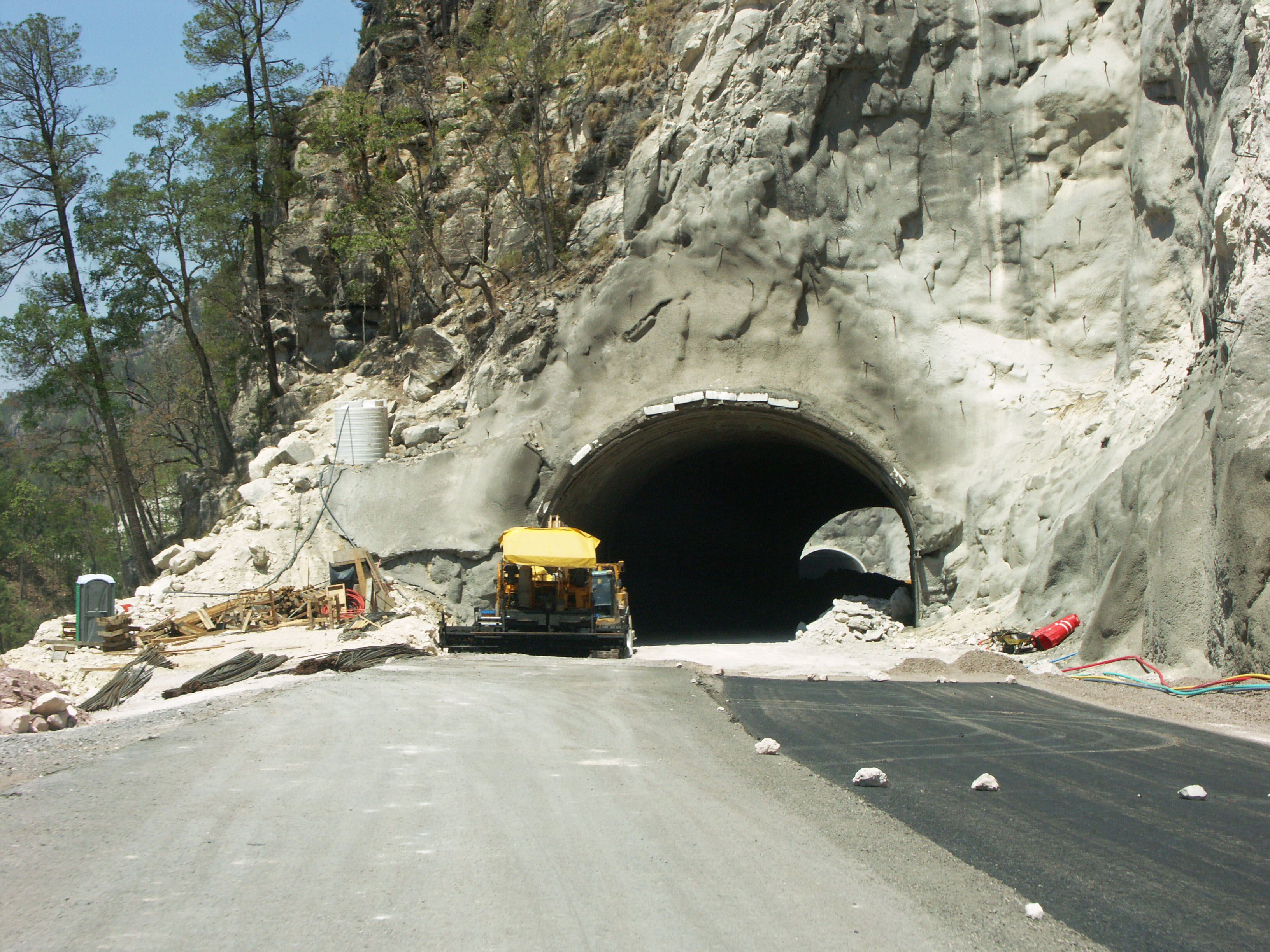
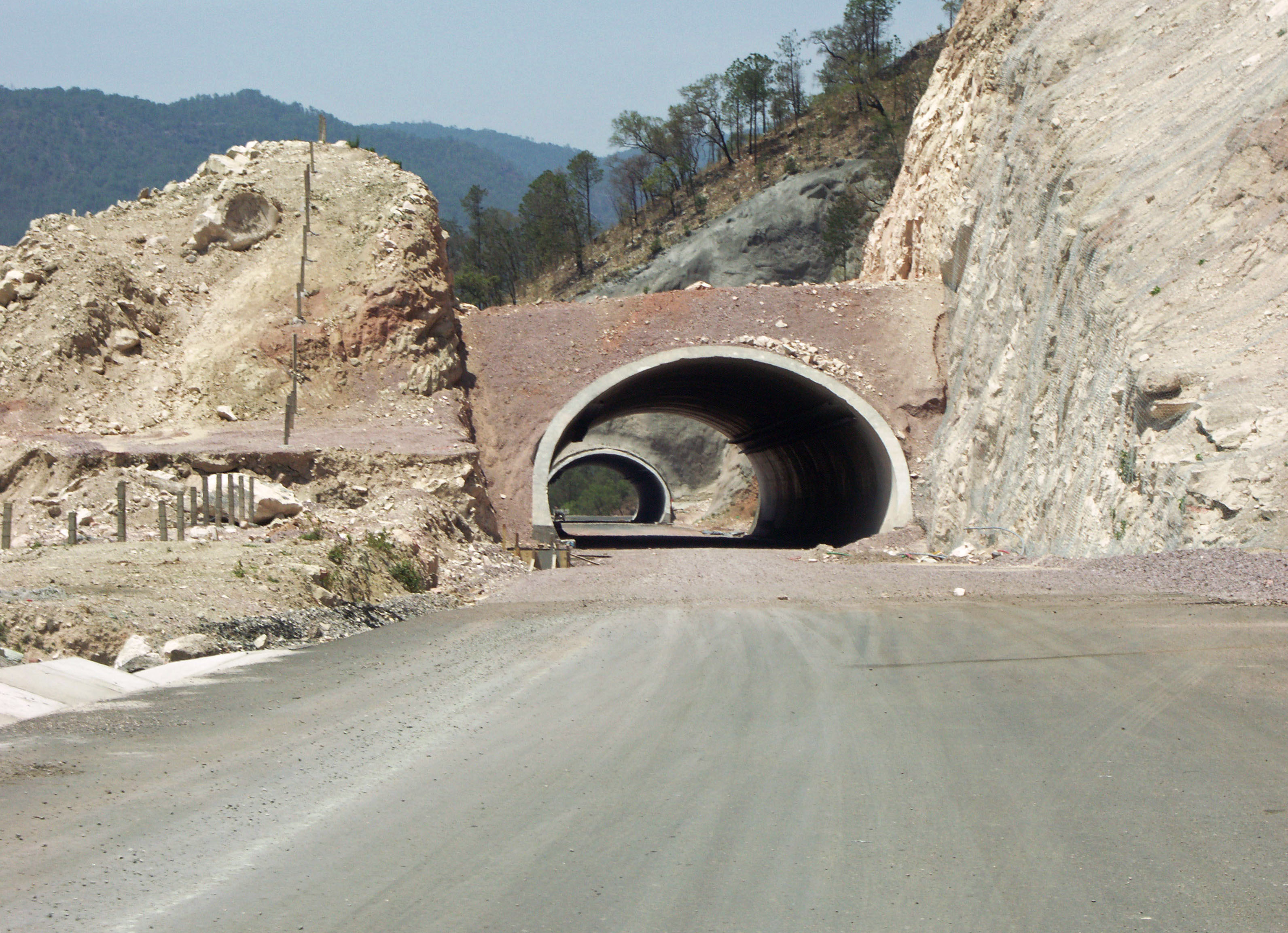
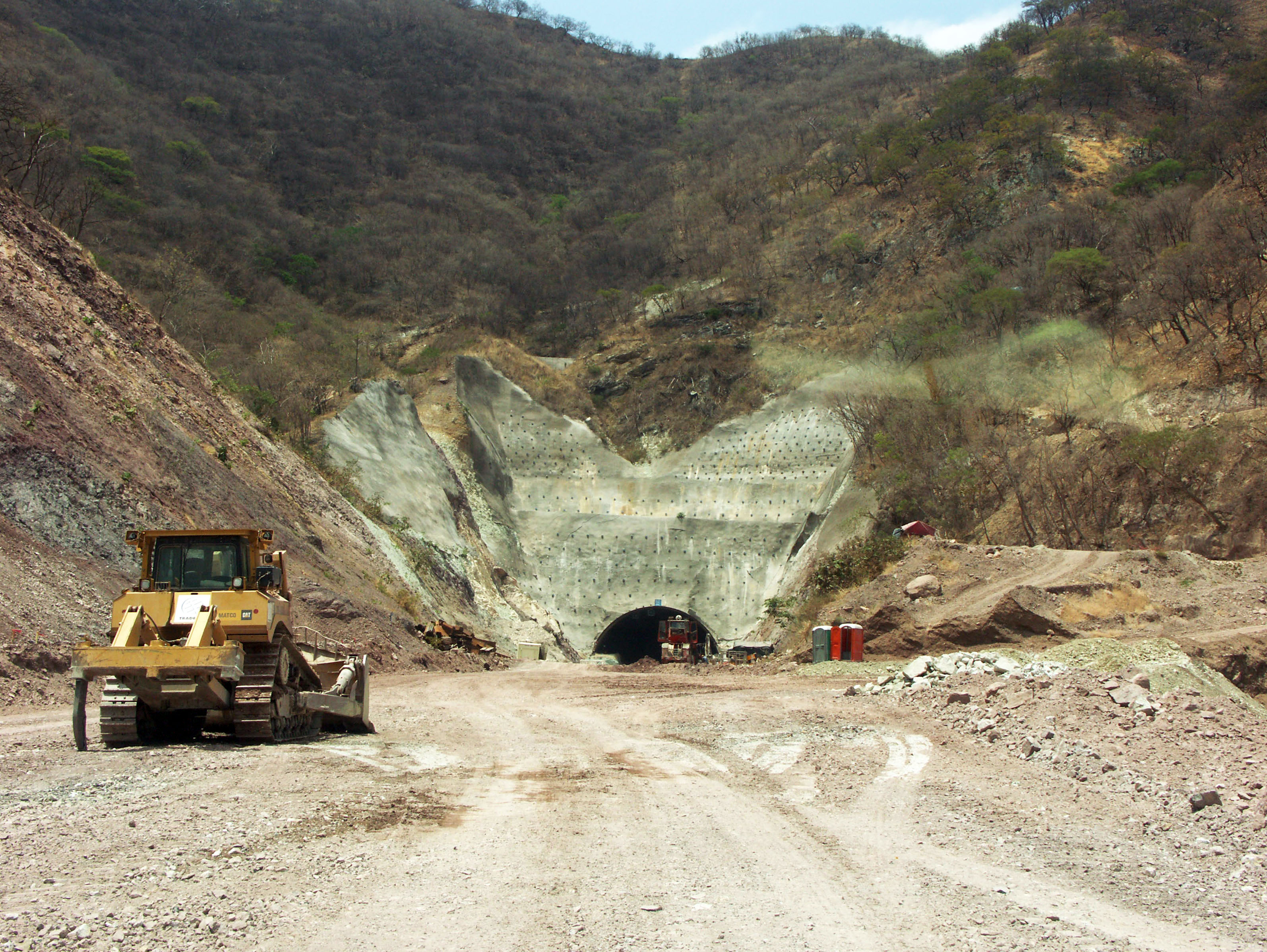
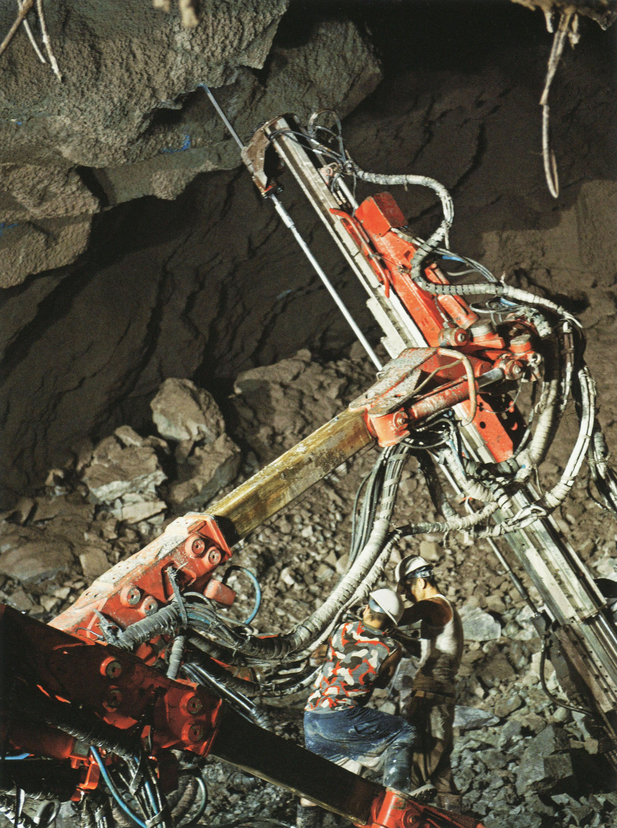
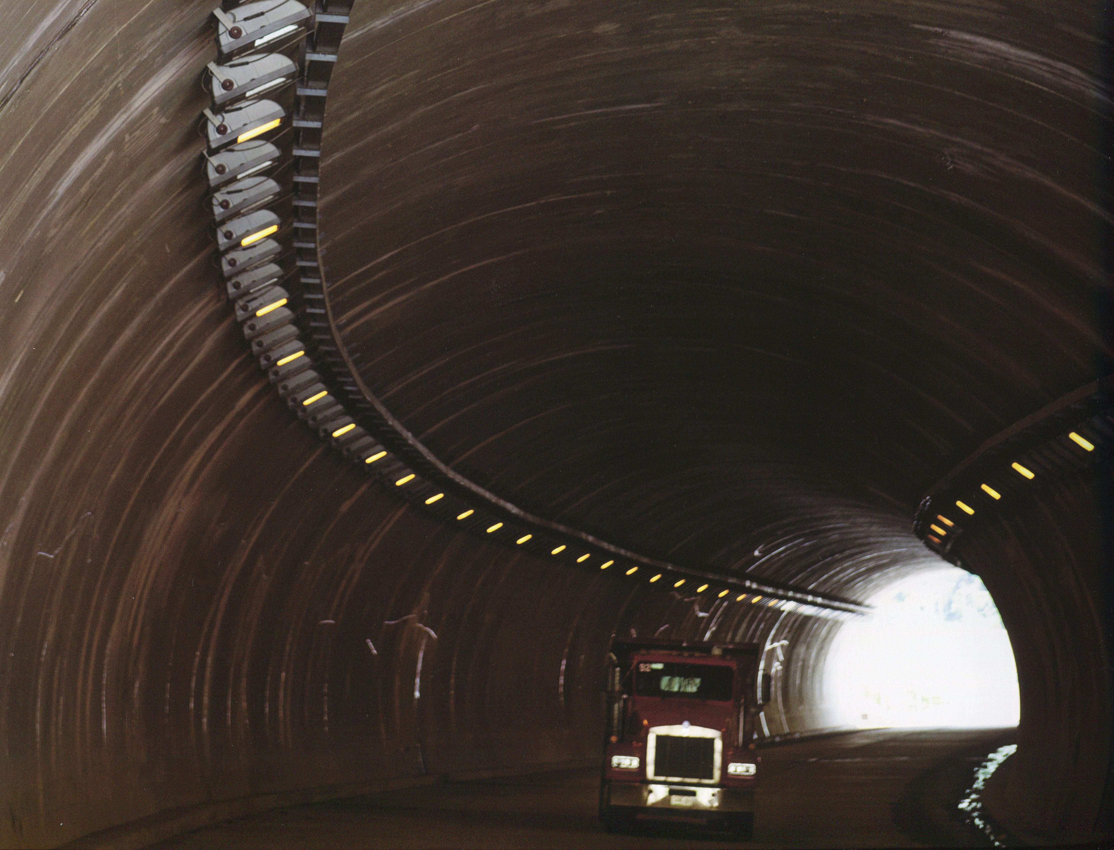
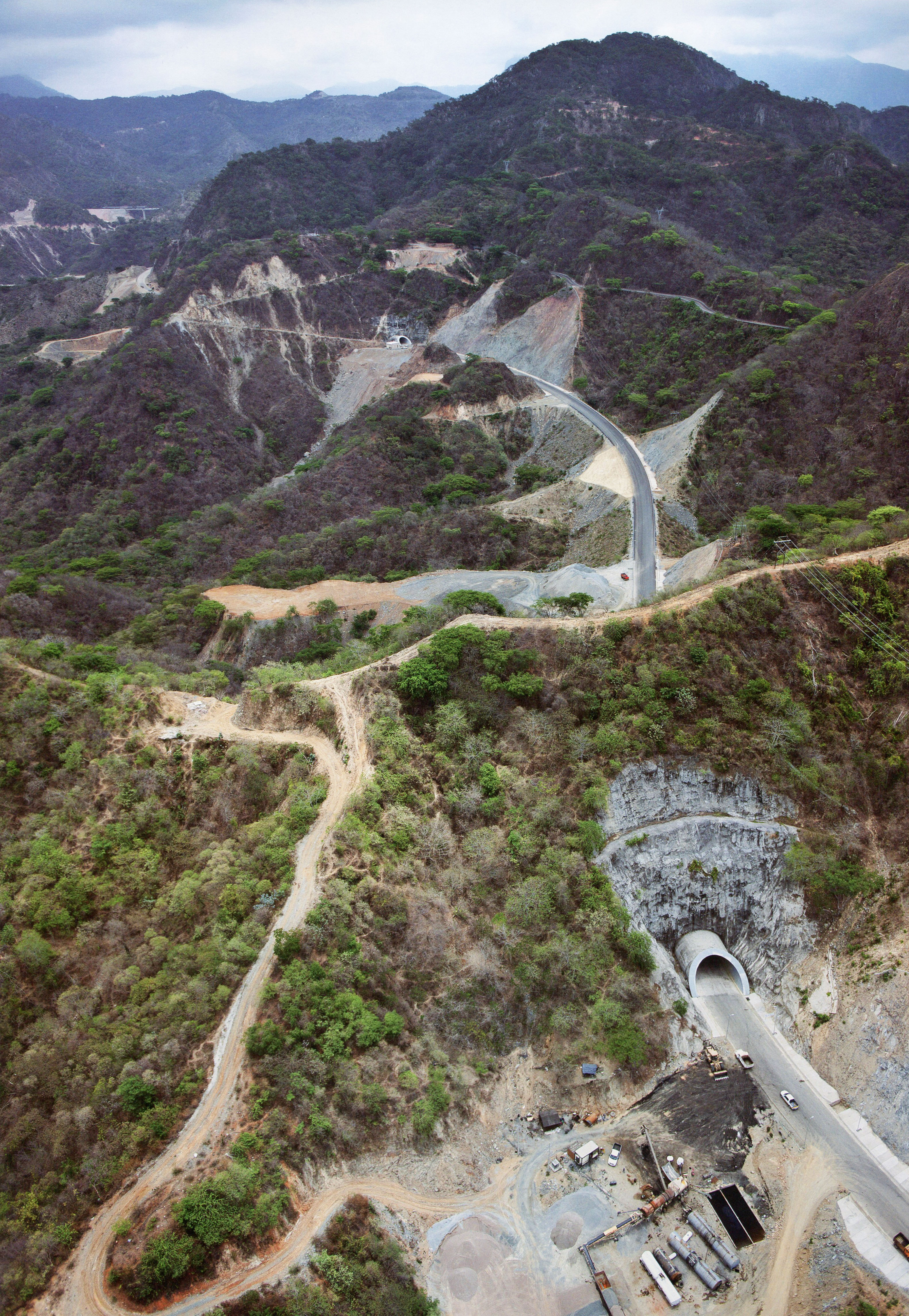
Túnel Leonera I y II en el kilómetro 128. Con 18,000 metros de túnel, la nueva autopista Durango-Mazatlán tendrá más kilómetros de túneles de carretera entonces se han construido en todo el curso de la historia de México! With 18,000 meters of tunnel, the new Durango-Mazatlan highway will have more kilometers of road tunnel then have been built in the entire course of Mexico's history! Image by SCT
Túnel Leonera I. Image by Eric Sakowski / HighestBridges.com
Puente Leoneras. Image by Eric Sakowski / HighestBridges.com
Puente Verde en el kilómetro 128. Image by Eric Sakowski / HighestBridges.com
Túnel Los Alacranes y Chavaria Nuevo III en el kilómetro 129. Image by Eric Sakowski / HighestBridges.com
Puentes de kilómetros 130 - 140
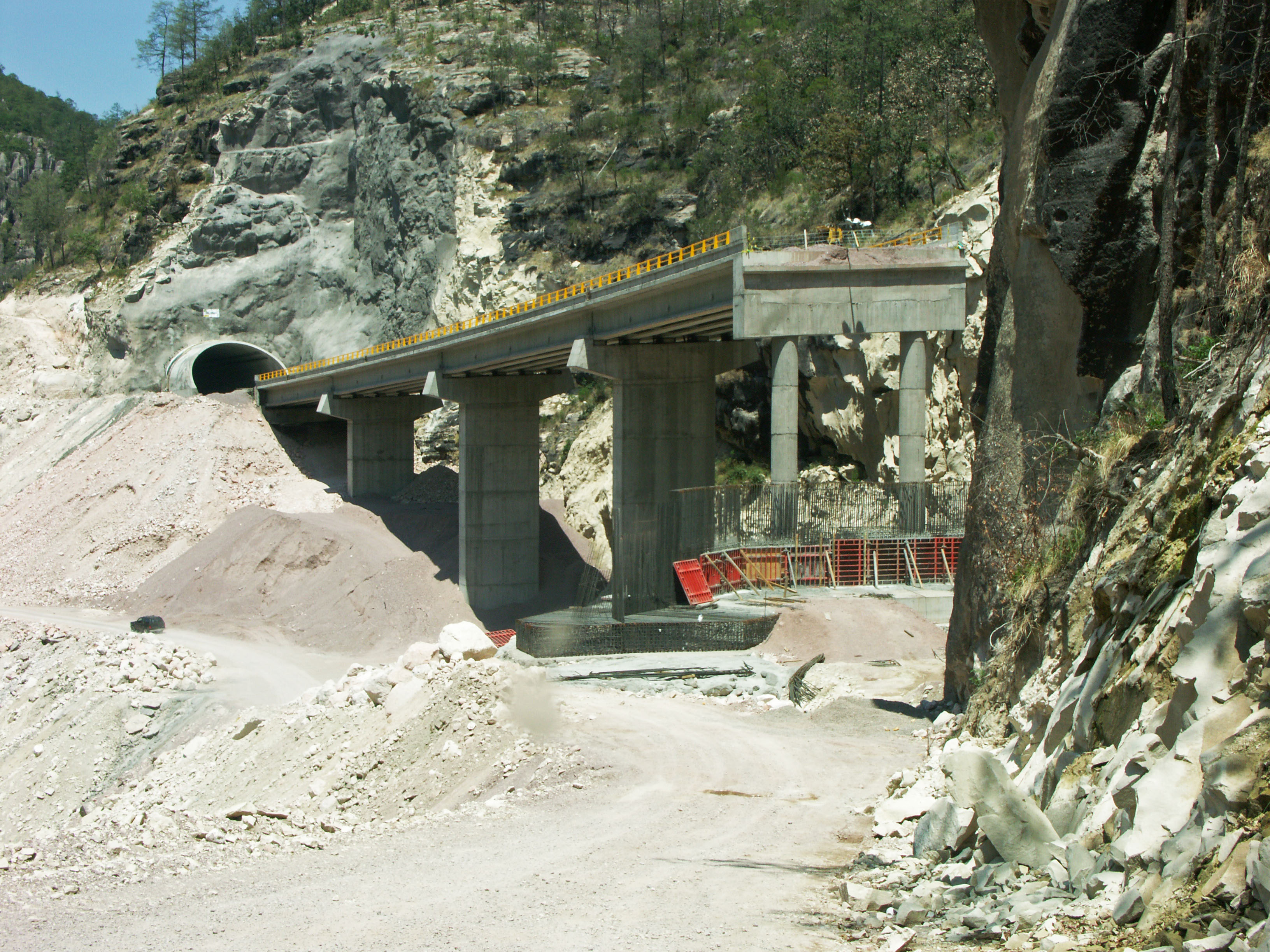
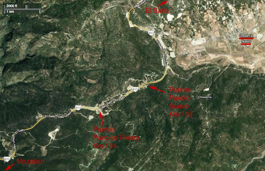
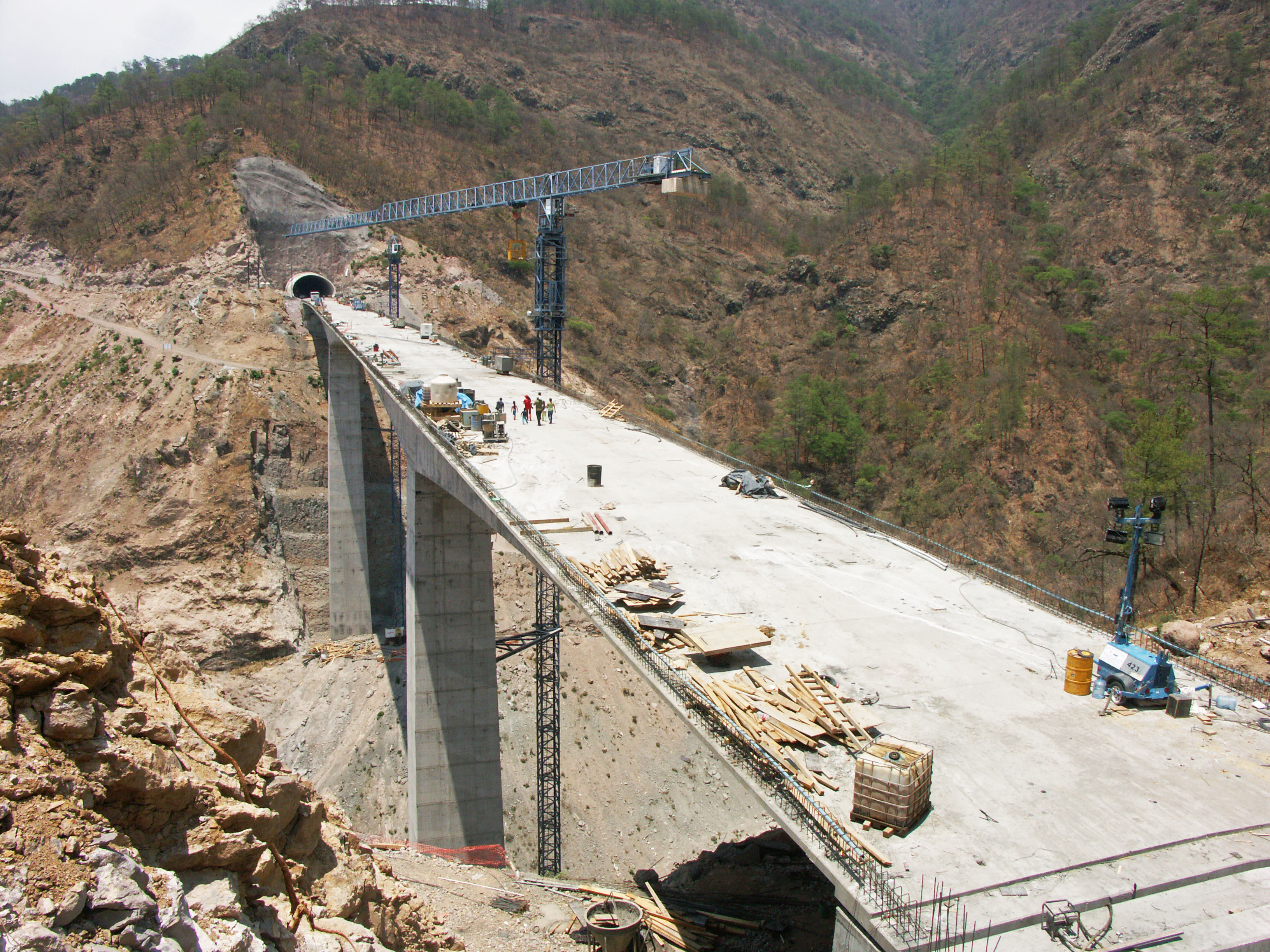
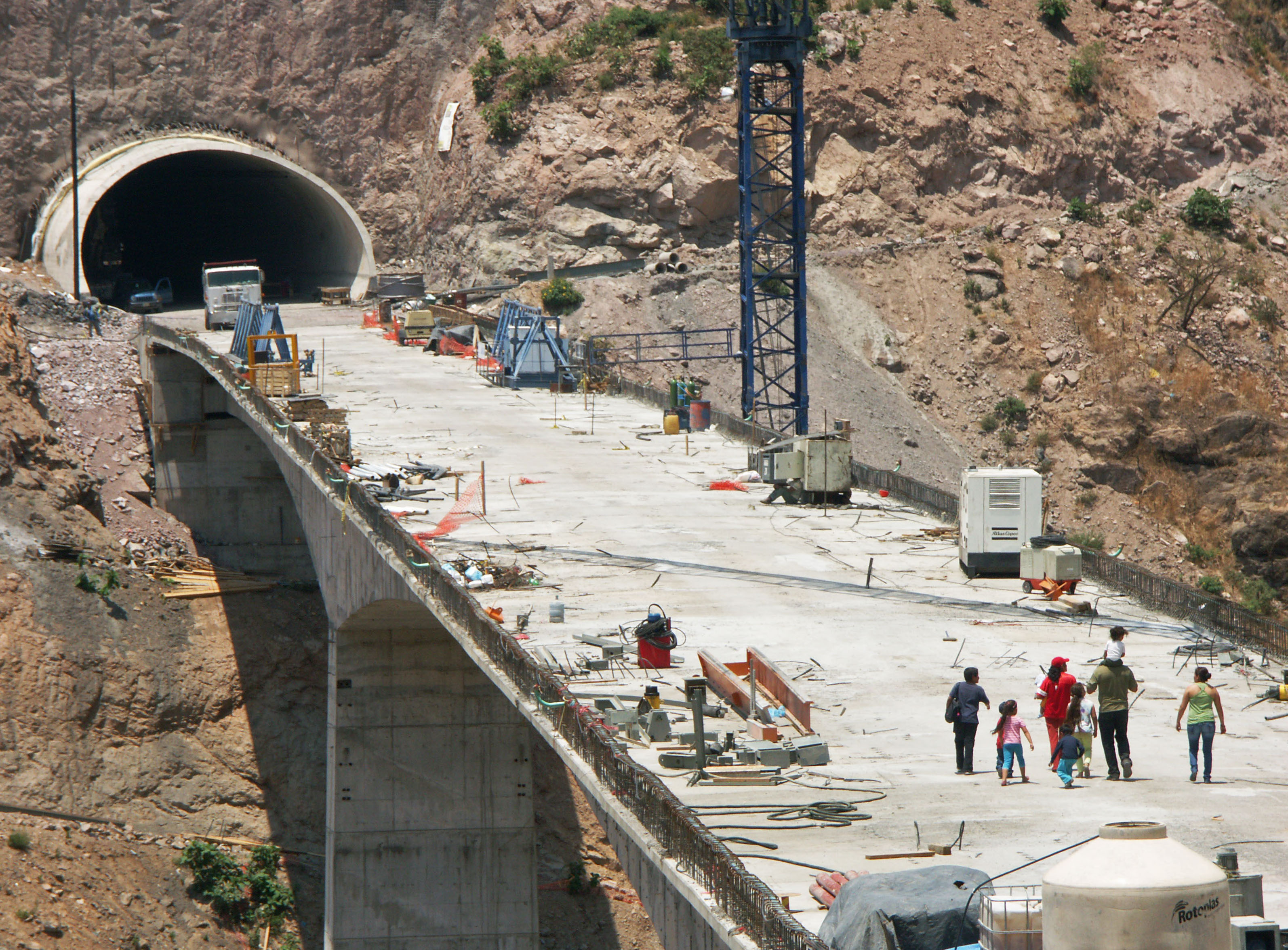
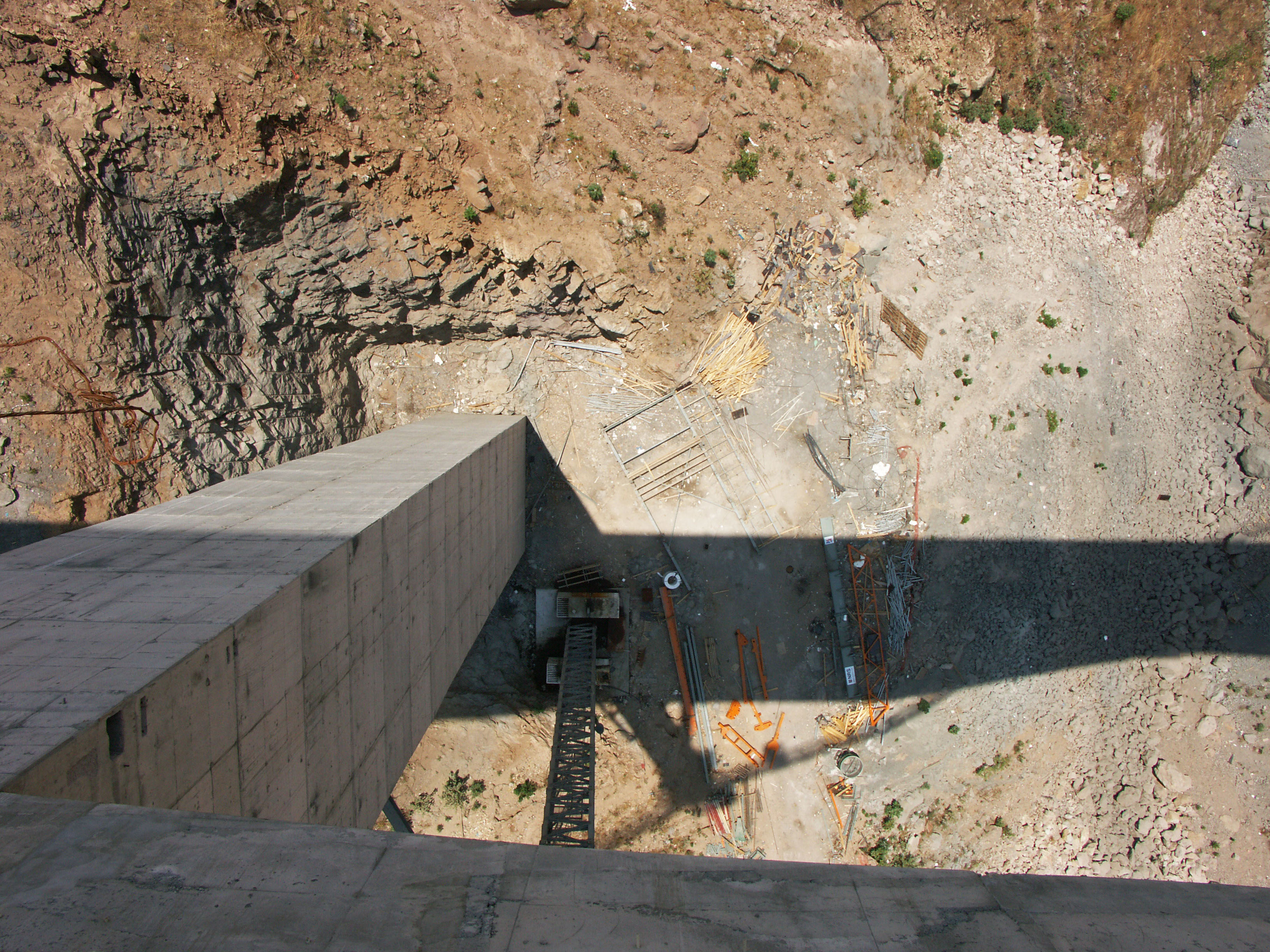
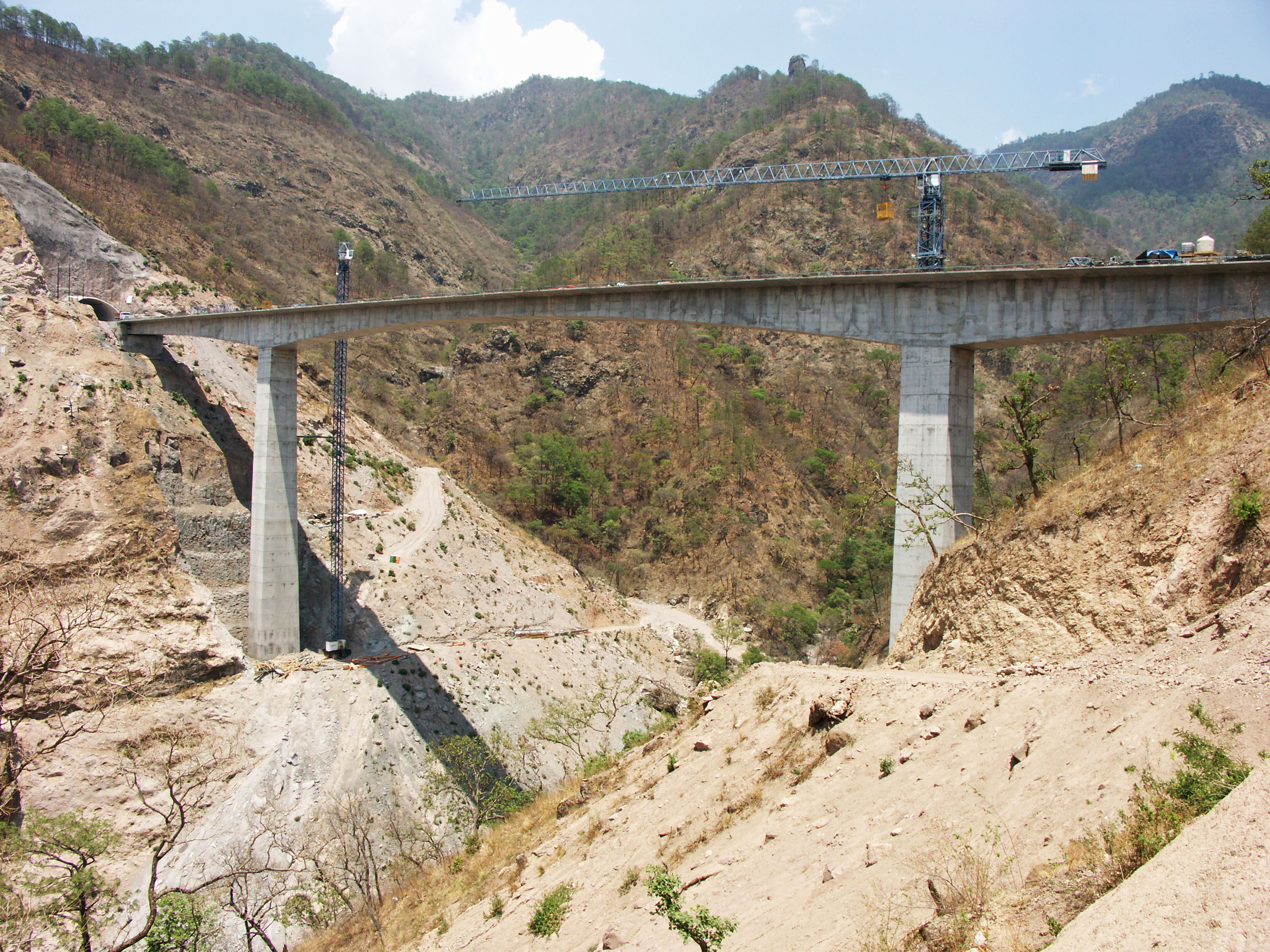
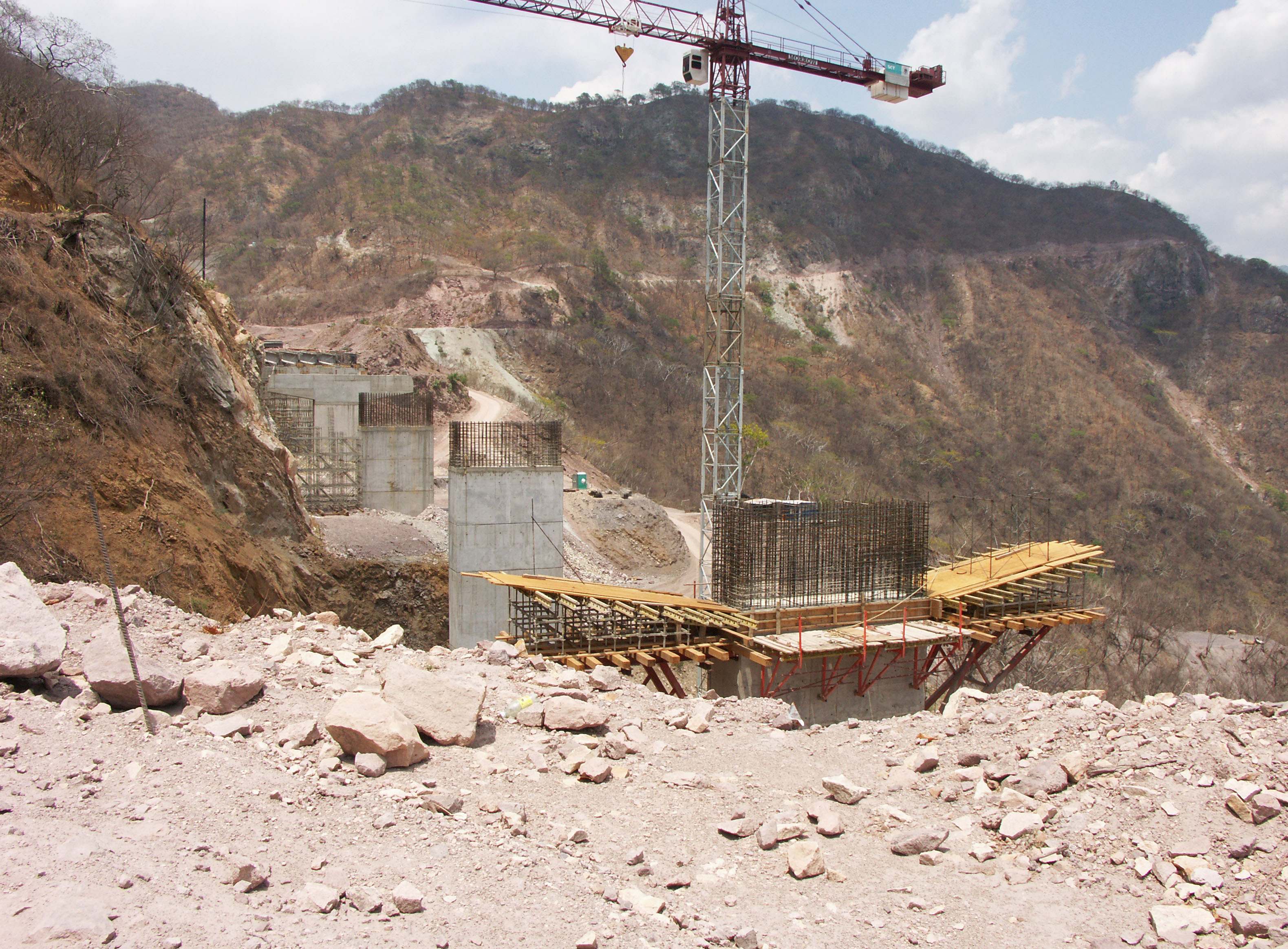
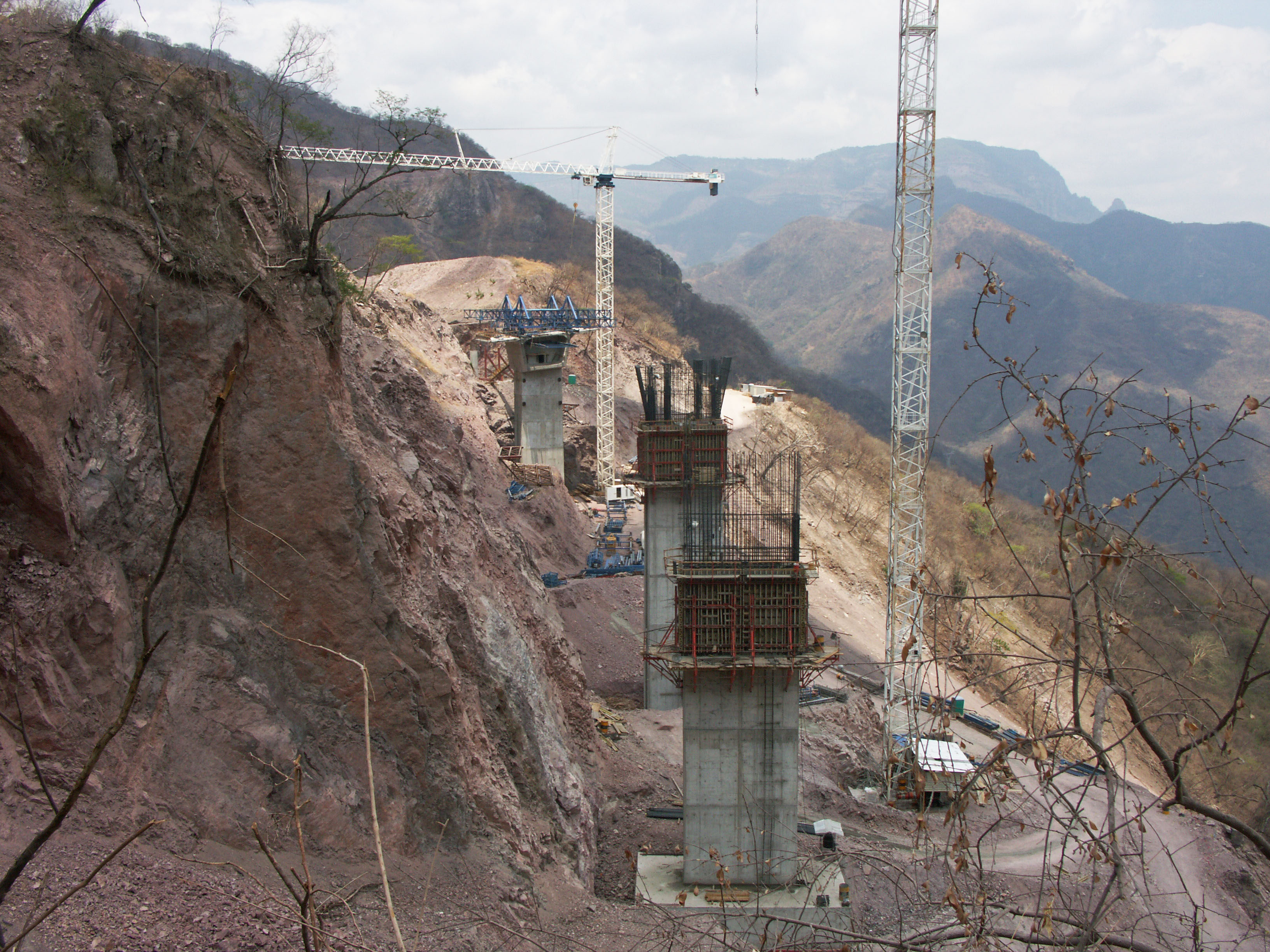
Puente Pueblo Nuevo en el kilómetro 133. Puente cuenta con 4 vanos de 55 + 2 de 106 + 55 metros. The height is 114 meters. Image by SCT
Puente Pueblo Nuevo. Image by Eric Sakowski / HighestBridges.com
Puente Pueblo Nuevo. Image by Eric Sakowski / HighestBridges.com
Puente Pueblo Nuevo. Image by SCT
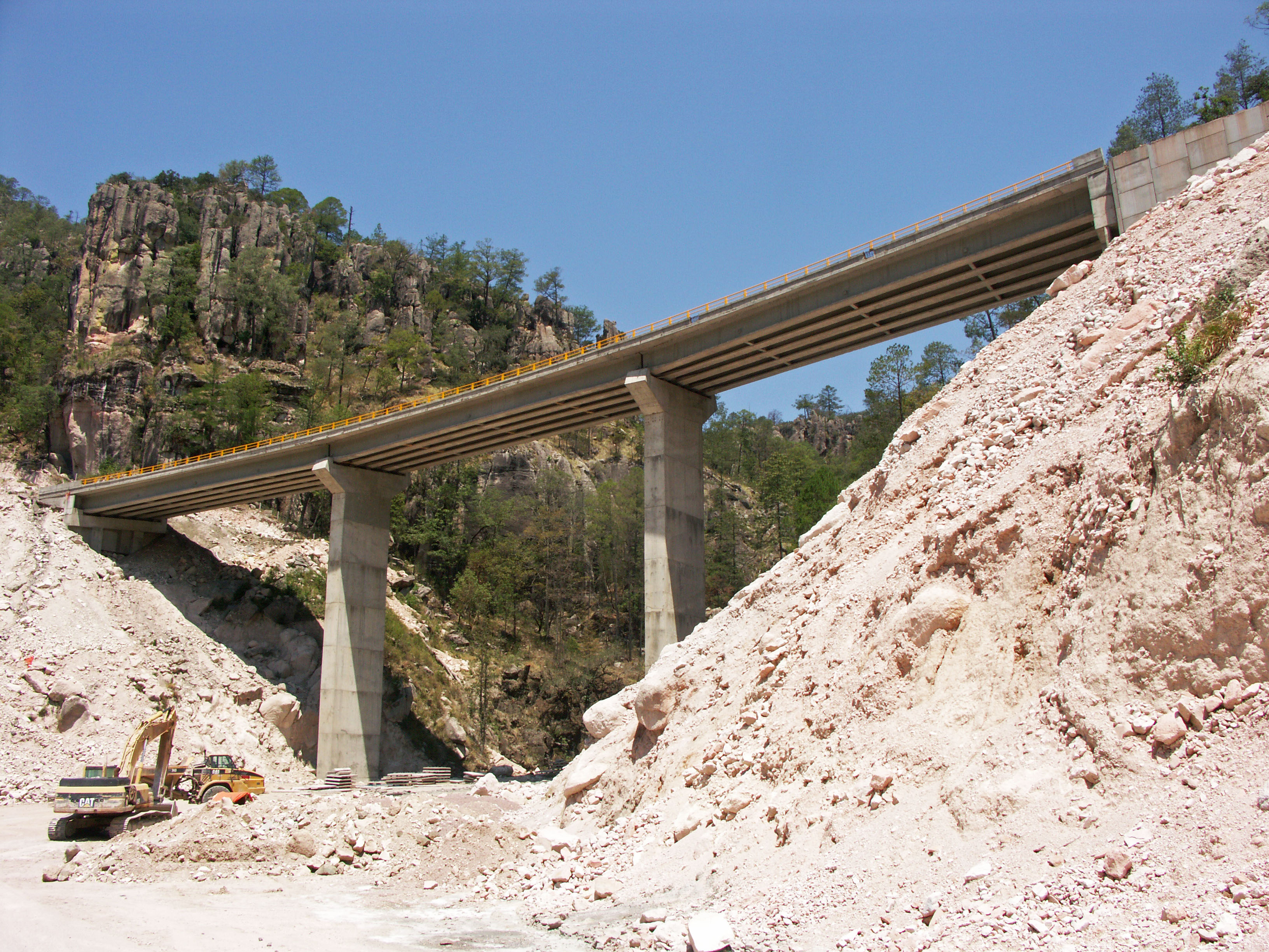
Puente Paso De Piedra en el kilómetro 134. Image by Eric Sakowski / HighestBridges.com
Image by Eric Sakowski / HighestBridges.com
Image by Eric Sakowski / HighestBridges.com
Image by Eric Sakowski / HighestBridges.com
Puentes de kilómetros 135 - 148
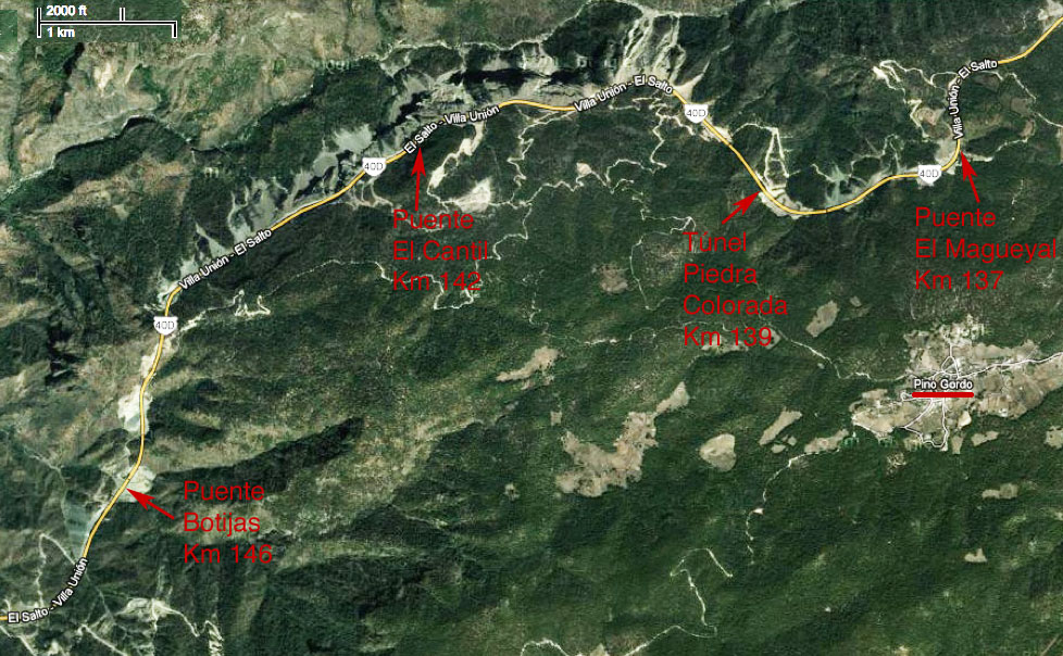
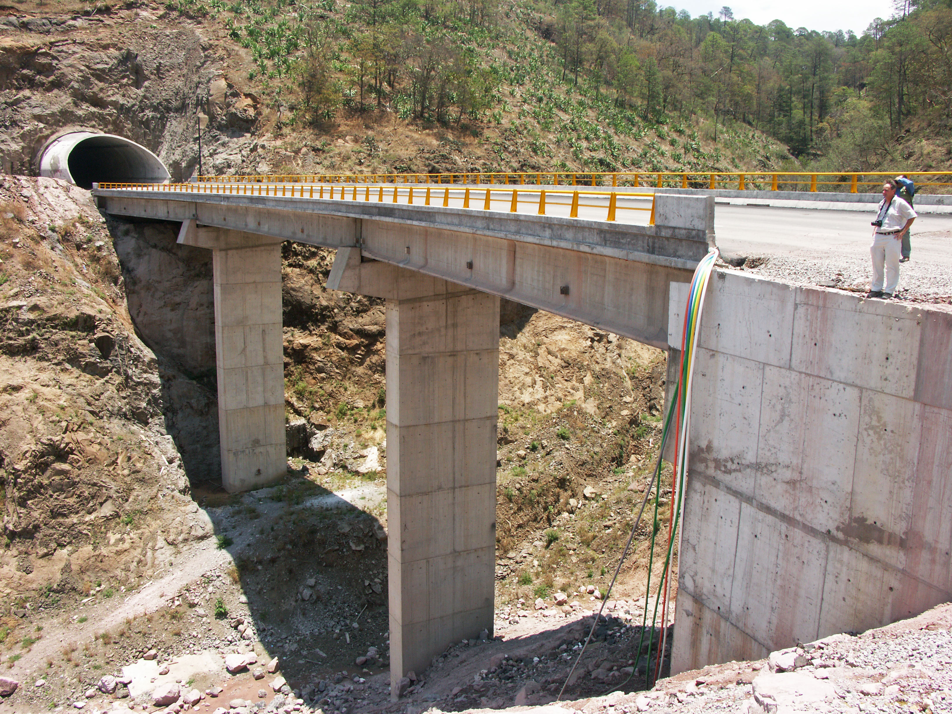
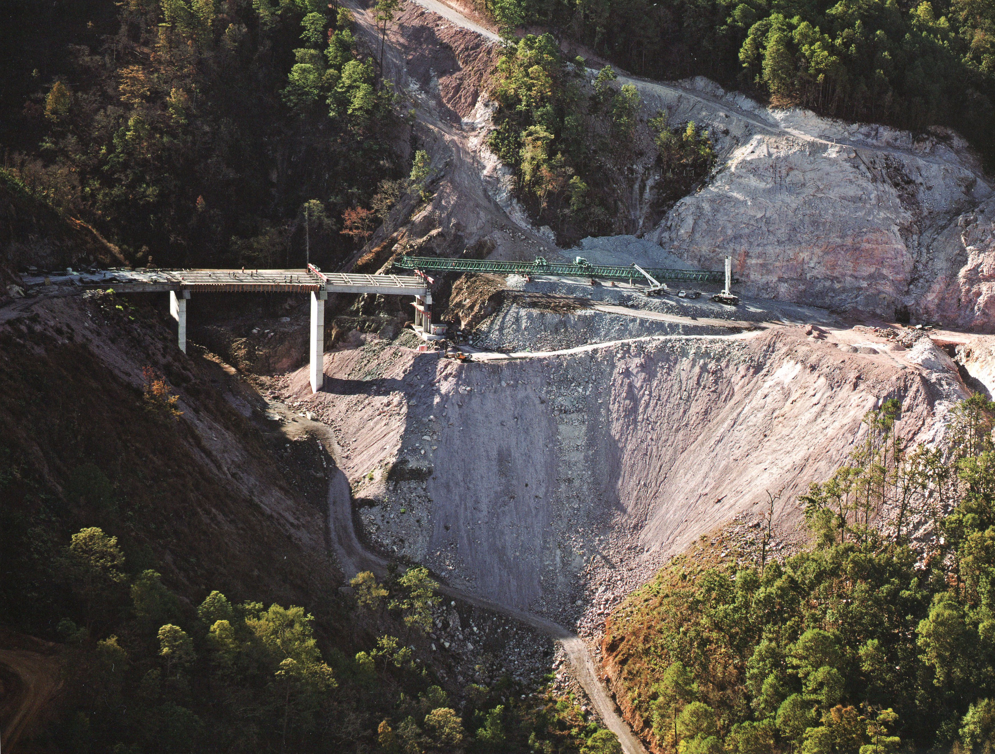
Puente El Magueyal en el kilómetro 137. Puente cuenta con 3 vanos de 31.5 + 42 + 31.5 metros. Image by Eric Sakowski / HighestBridges.com
Puente El Magueyal en construcción. Image by SCT
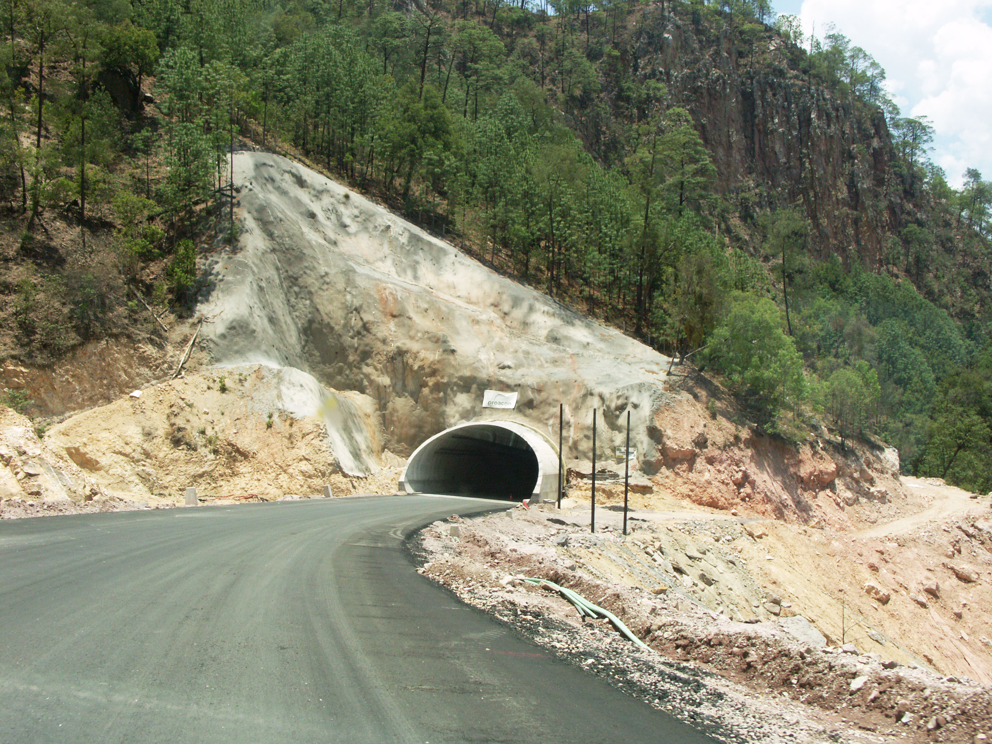
Túnel Piedra Colorada. Image by Eric Sakowski / HighestBridges.com
Puente El Cantil en el kilómetro 142. Image by Eric Sakowski / HighestBridges.com
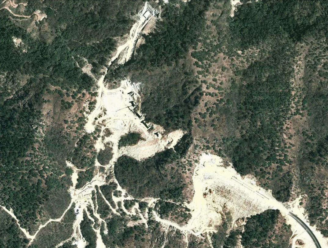
Puente El Cantil satélite.
Image by Eric Sakowski / HighestBridges.com
Image by Eric Sakowski / HighestBridges.com
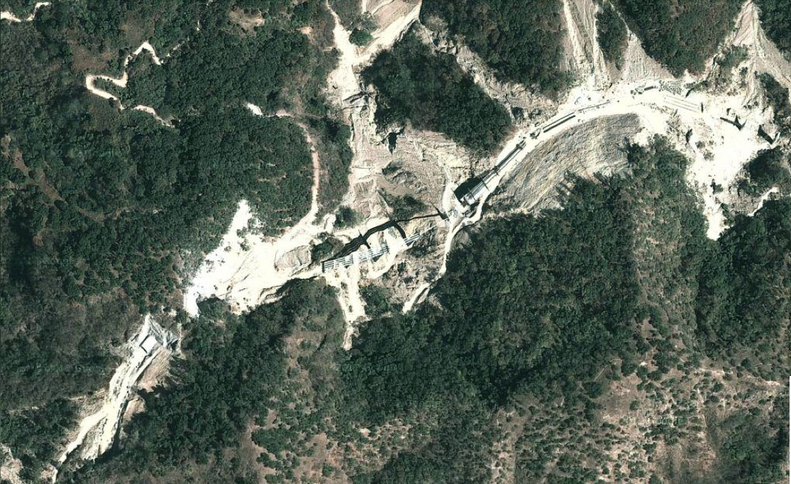
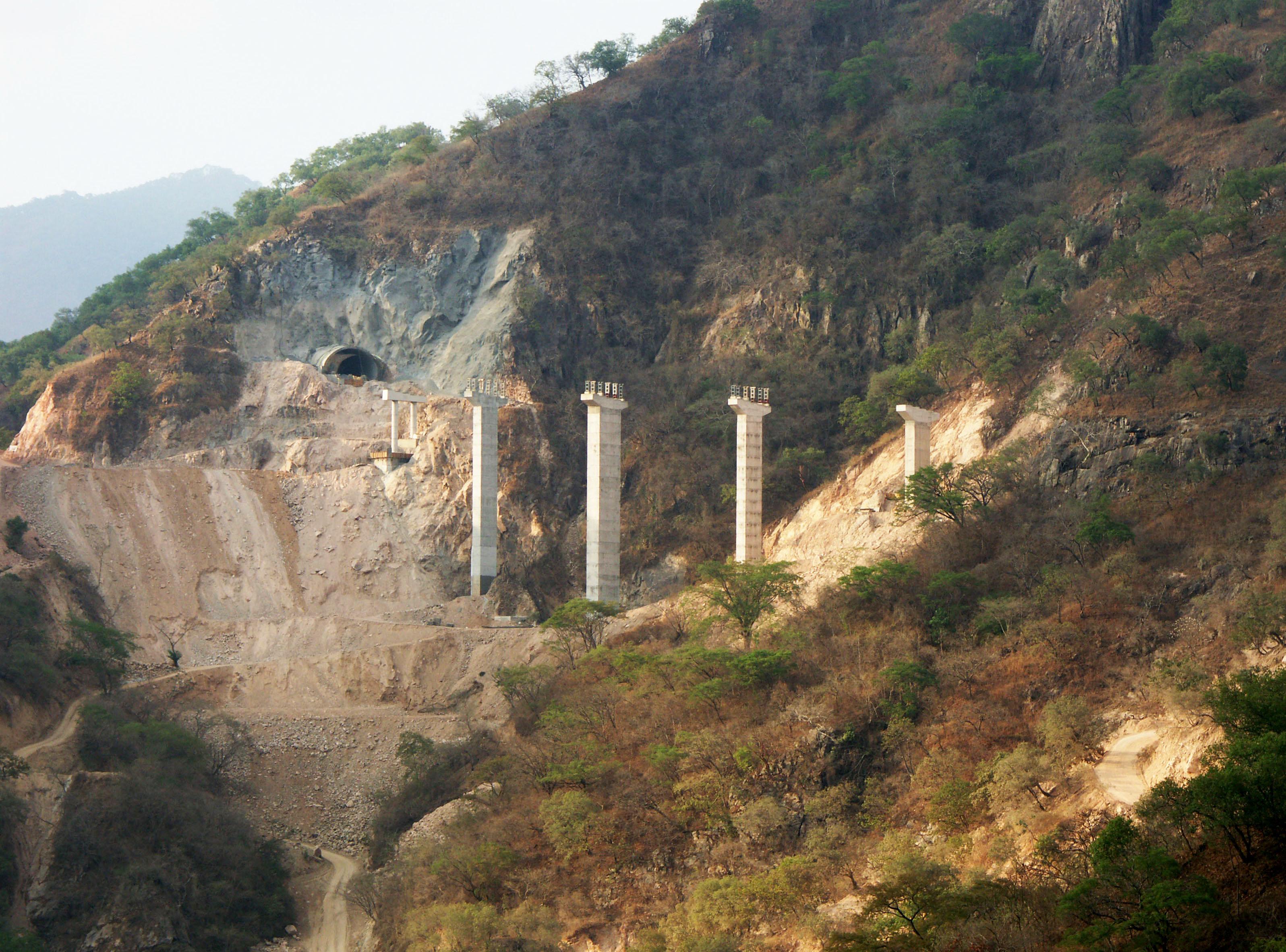
Túnels El Frijolar y Tortuga en el kilómetro 145. Construcción temprana de Puente Botijas se puede ver en frente de la entrada del túnel de El Frijolar.Image by SCT
El Frijolar entrada del túnel. Image by SCT
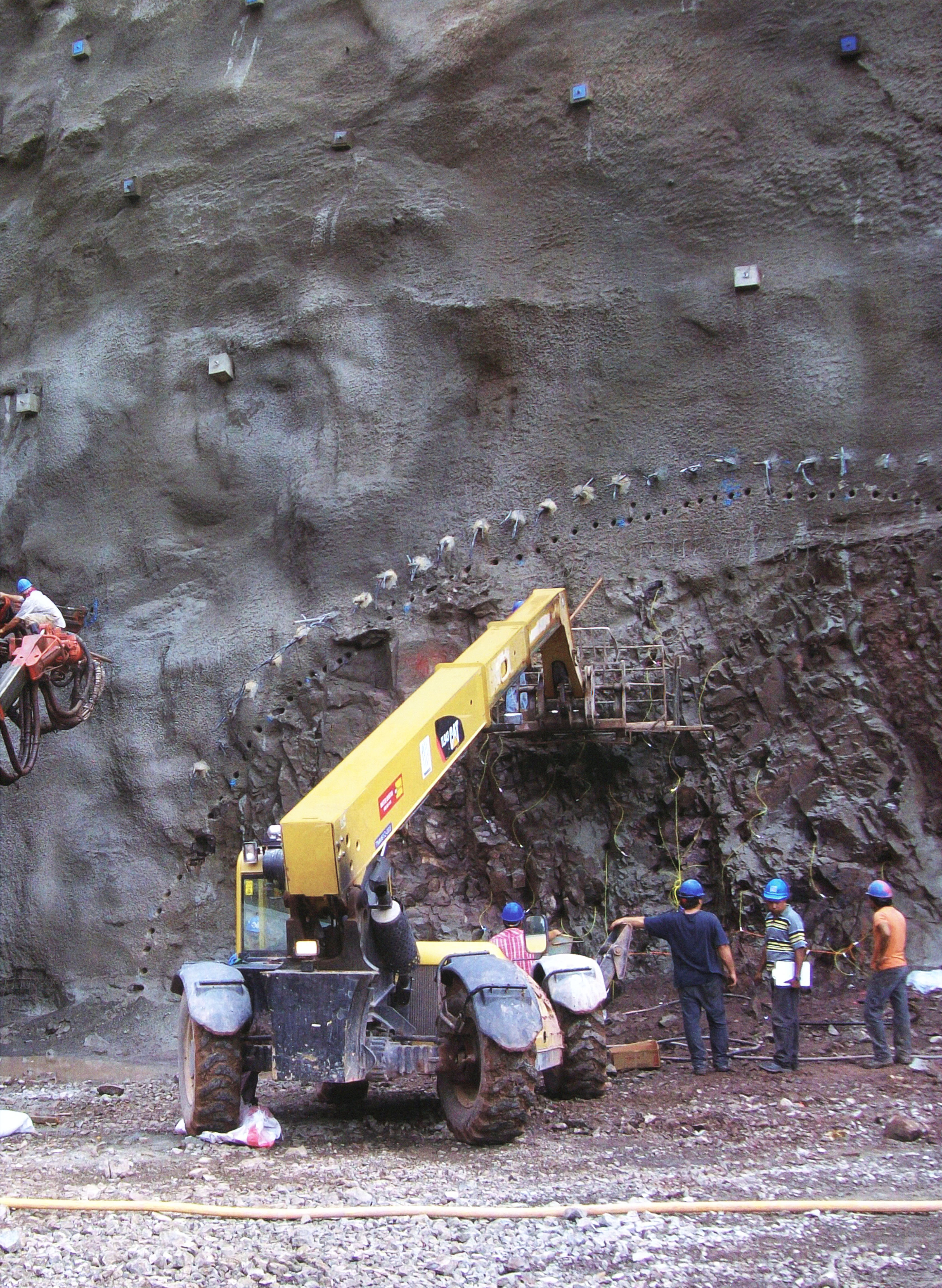
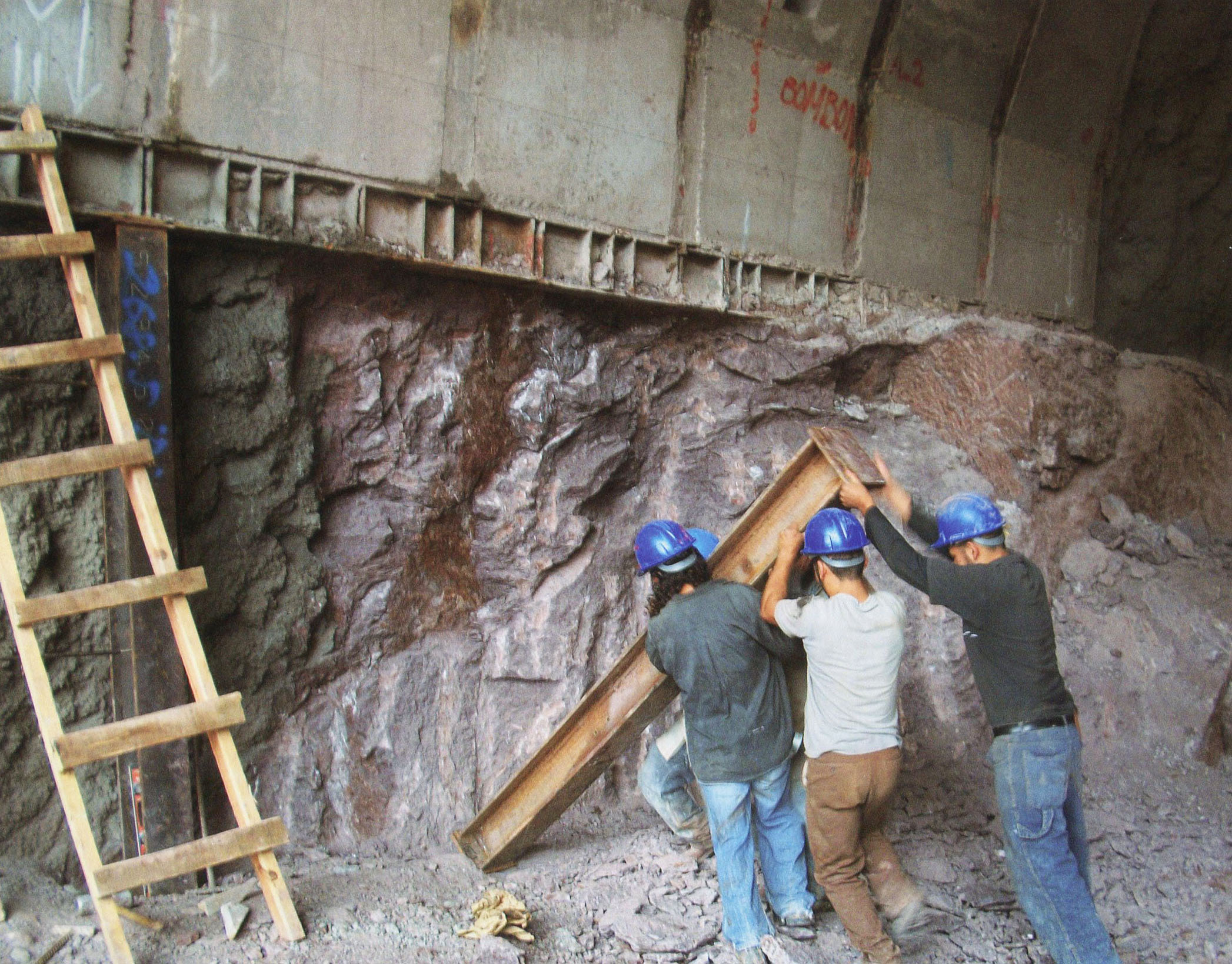
Túnel El Frijolar pared de roca ancla. Image by SCT
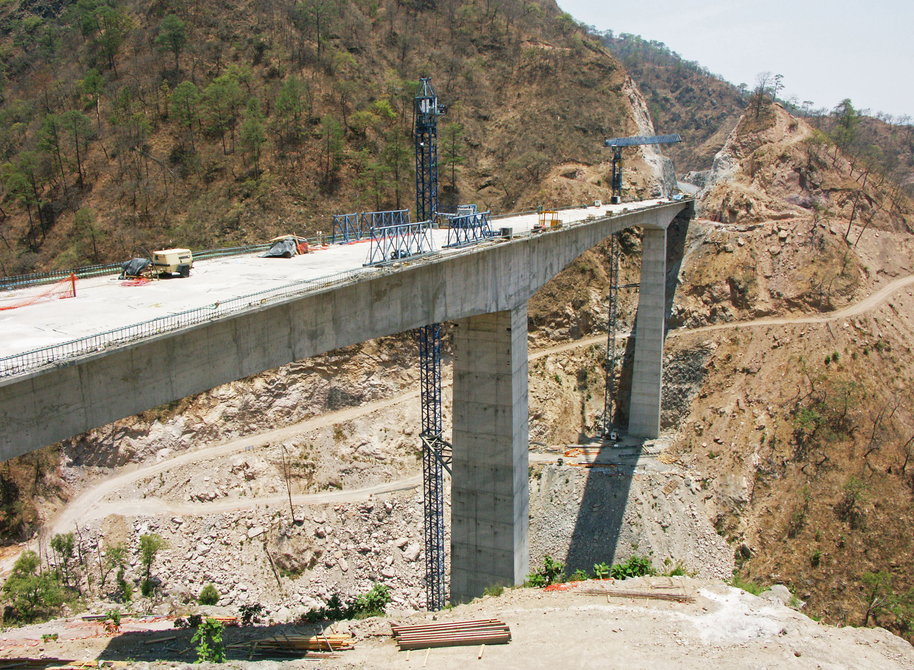
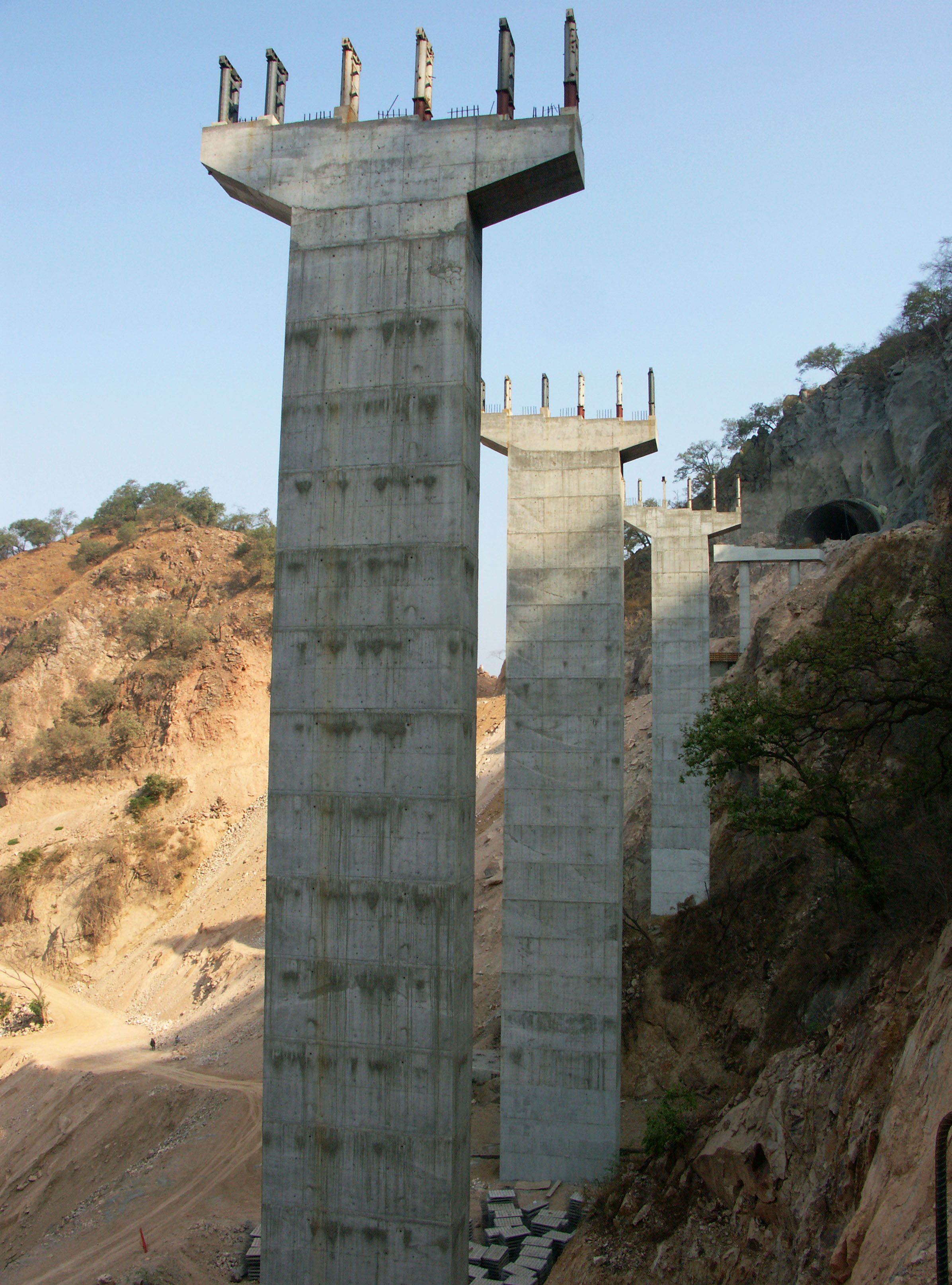
Puente Botijas en el kilómetro 146. Puente cuenta con 3 vanos de 82.5 + 165 + 82.5 metros. Image by Eric Sakowski / HighestBridges.com
Puente Botijas. Image by Eric Sakowski / HighestBridges.com
Una familia disfruta del puente Botijas! Image by Eric Sakowski / HighestBridges.com
Image by Eric Sakowski / HighestBridges.com
Puente Botijas tiene la duración más larga del haz y es también el puente haz más alto en la carretera. Image by Eric Sakowski / HighestBridges.com
Image by Eric Sakowski / HighestBridges.com
Puente Botijas satélite.
Puentes de kilómetros 150 - 157
Puente Platanito en el kilómetro 146. Puente cuenta con 5 vanos de 31.5 + 3 de 42 + 31.5 metros. Image by SCT
Puente Platanito satélite.
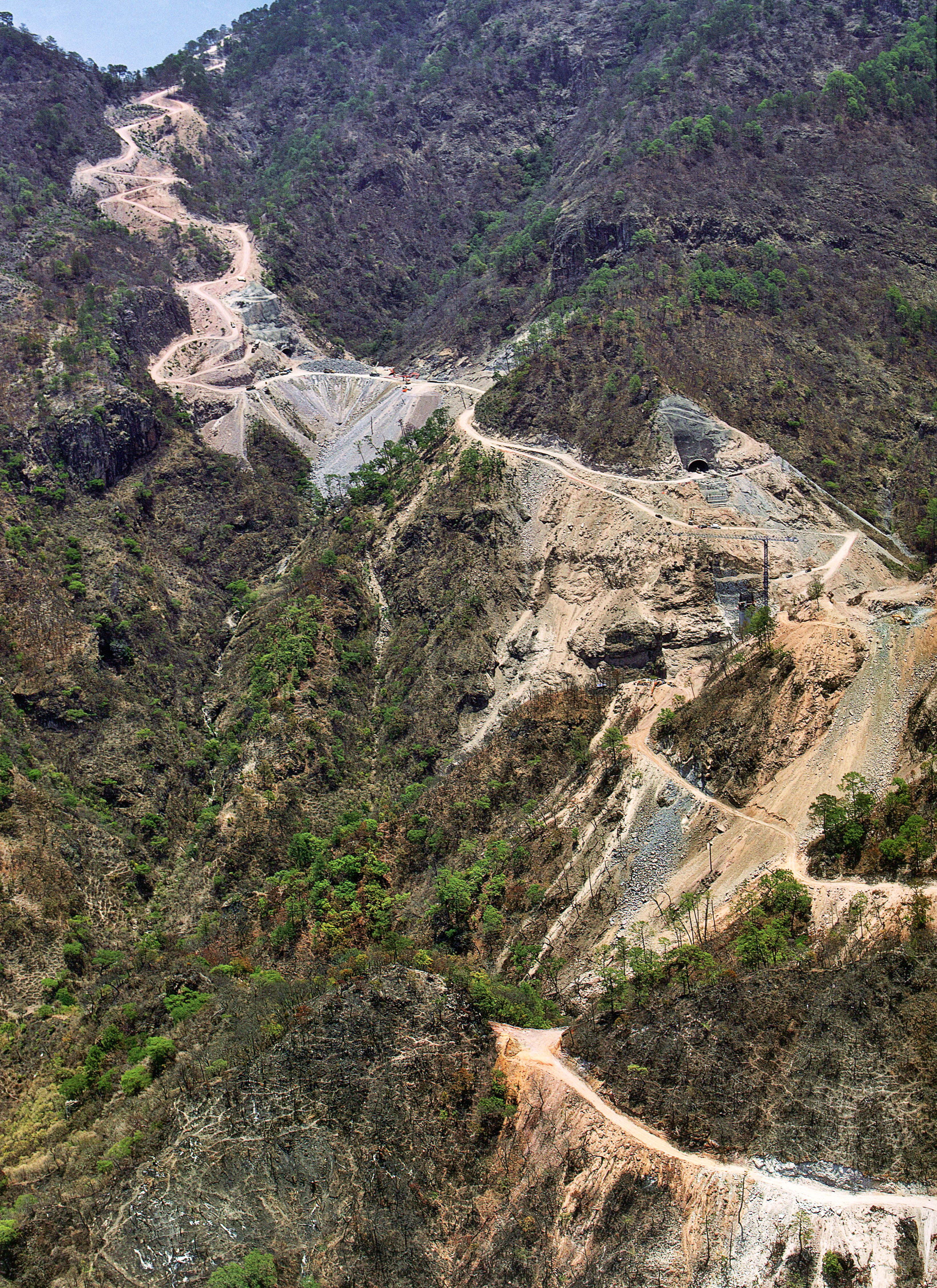
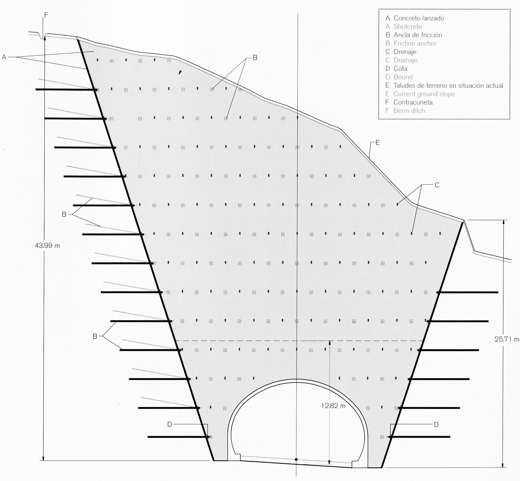
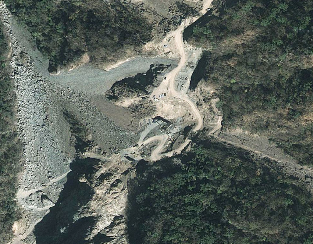
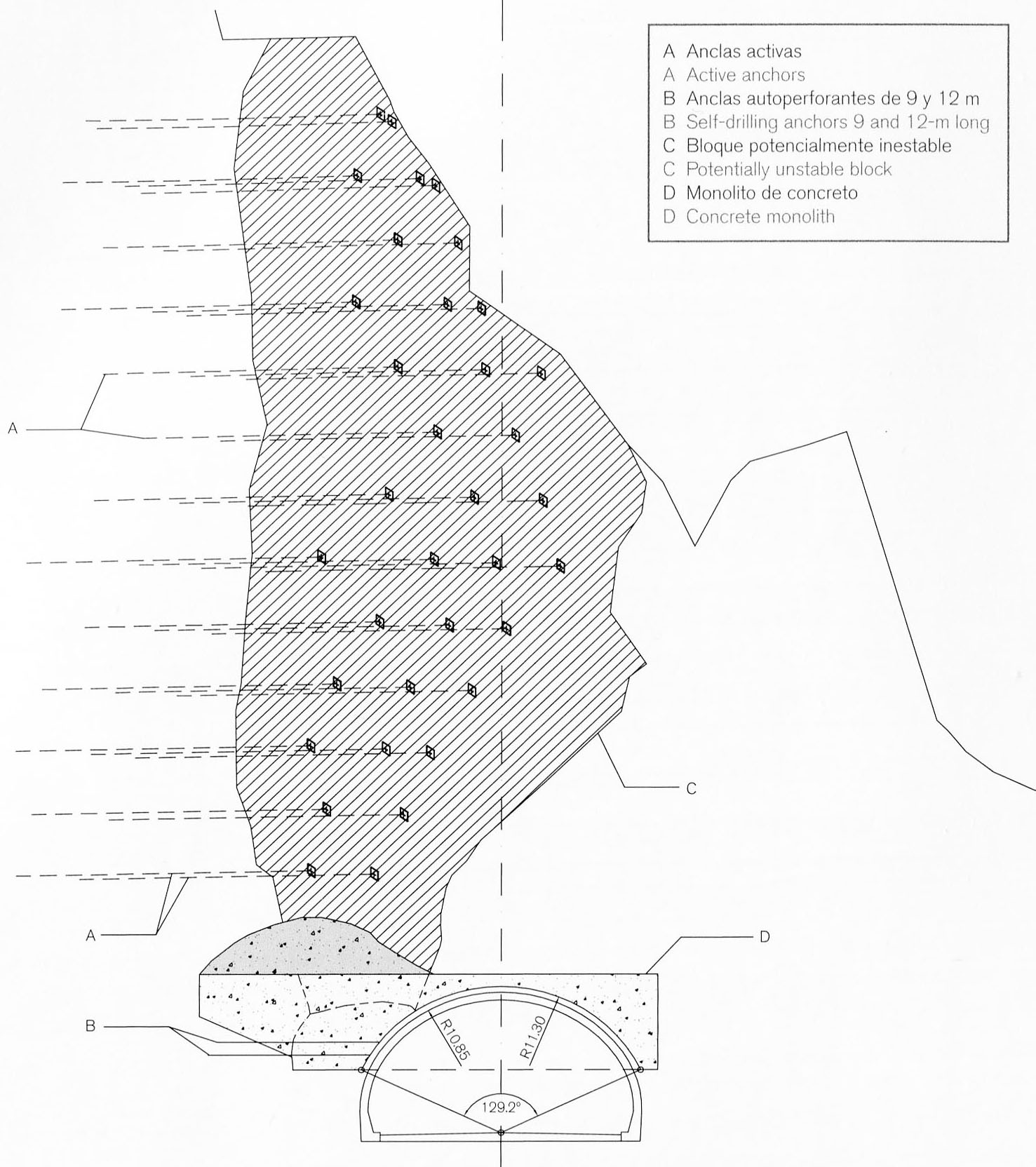
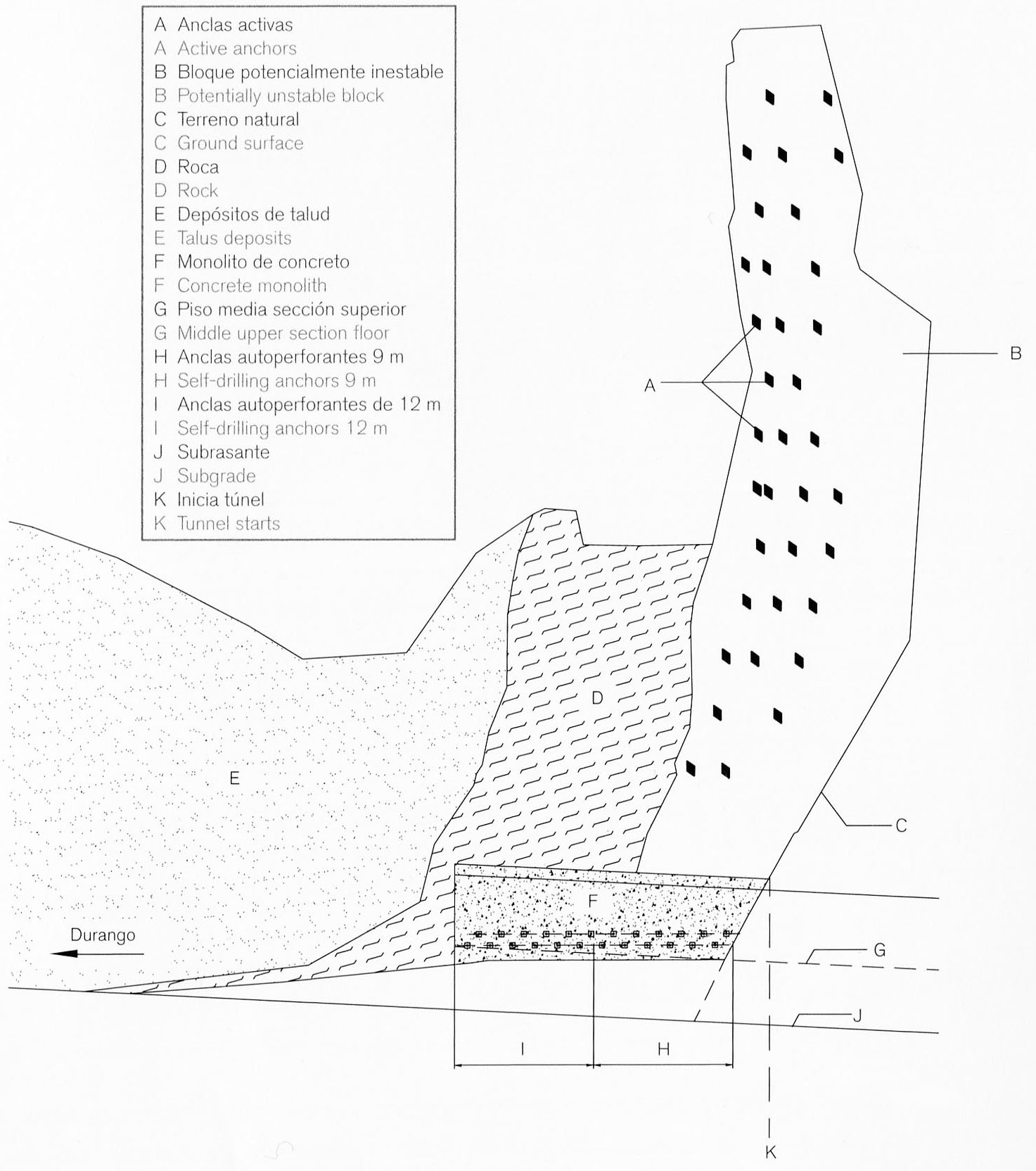
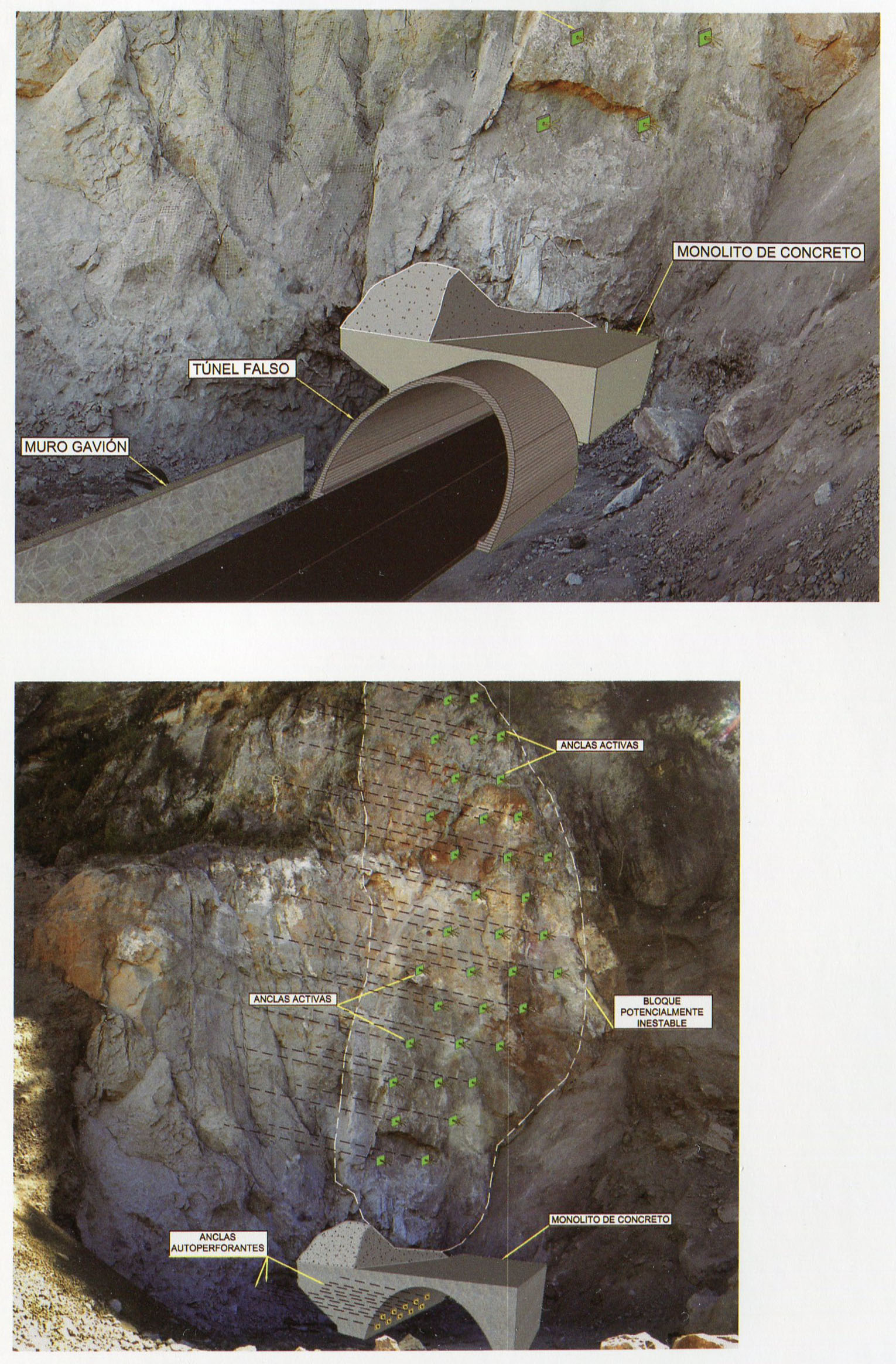
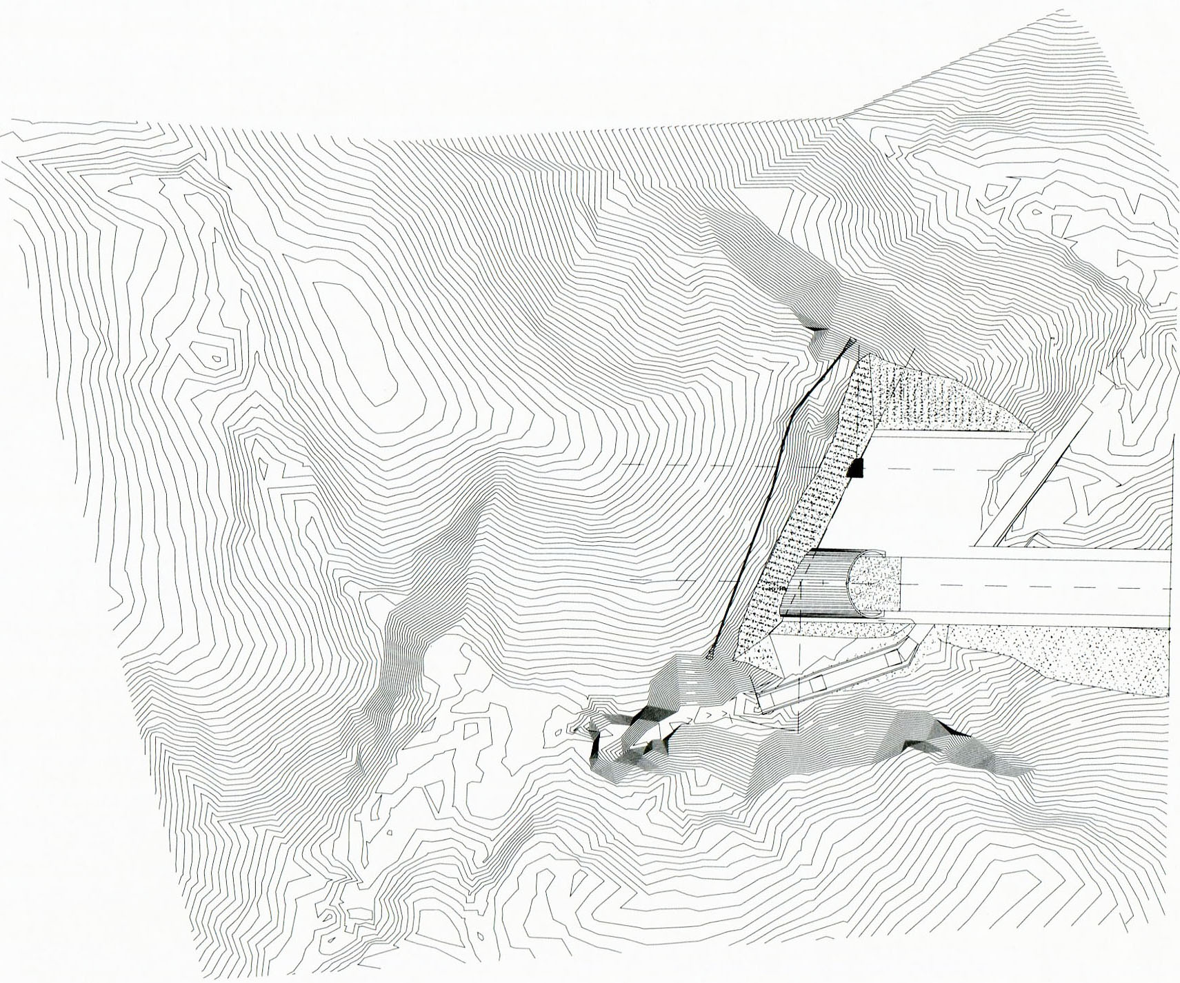
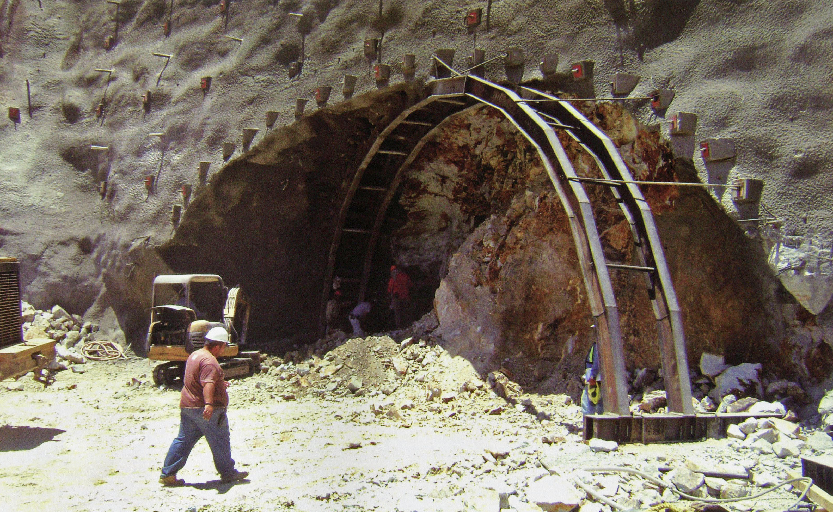
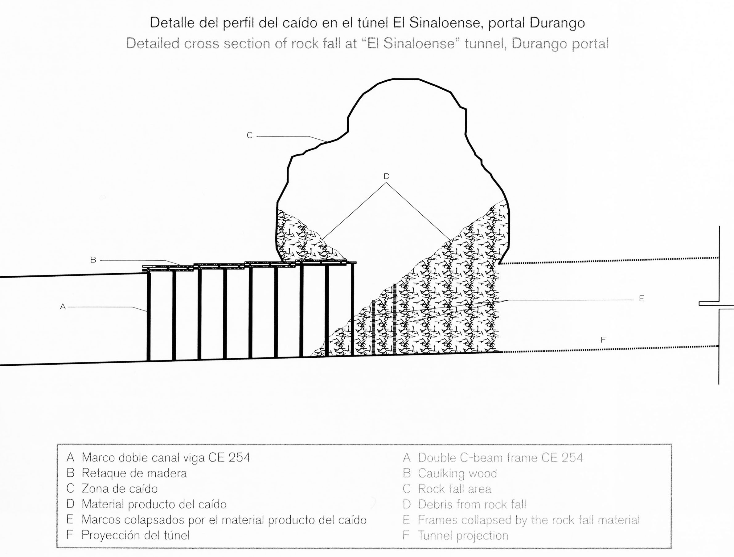
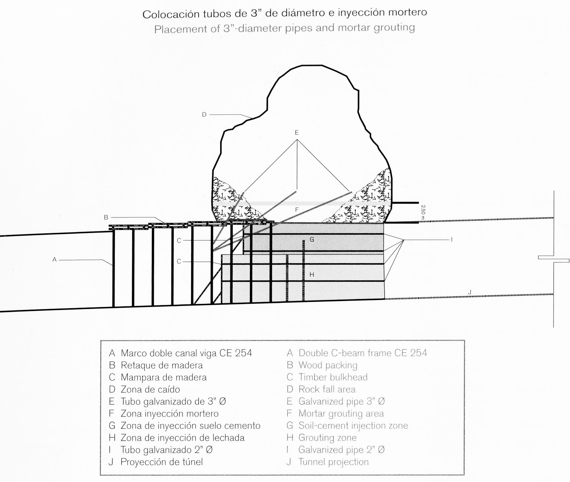
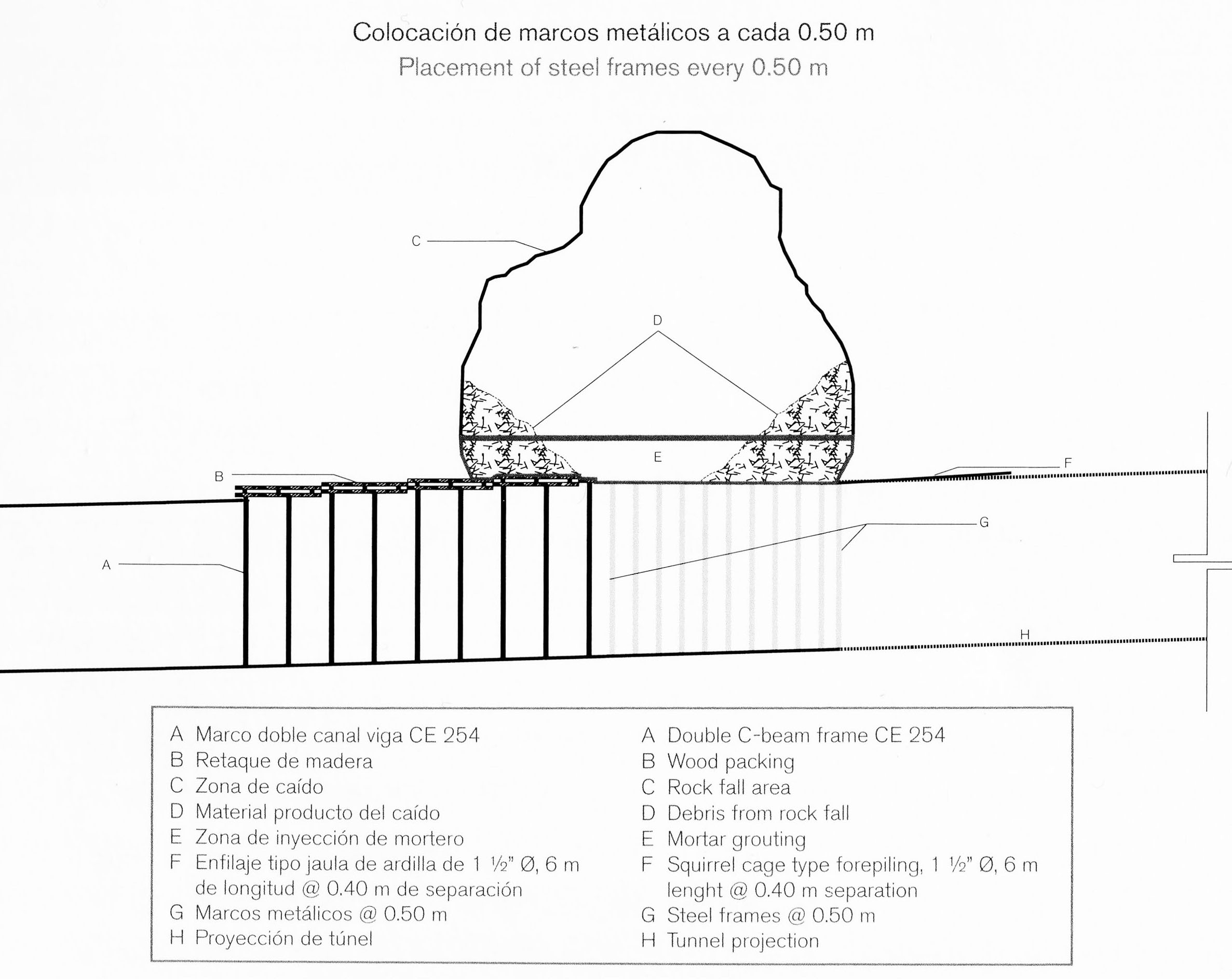
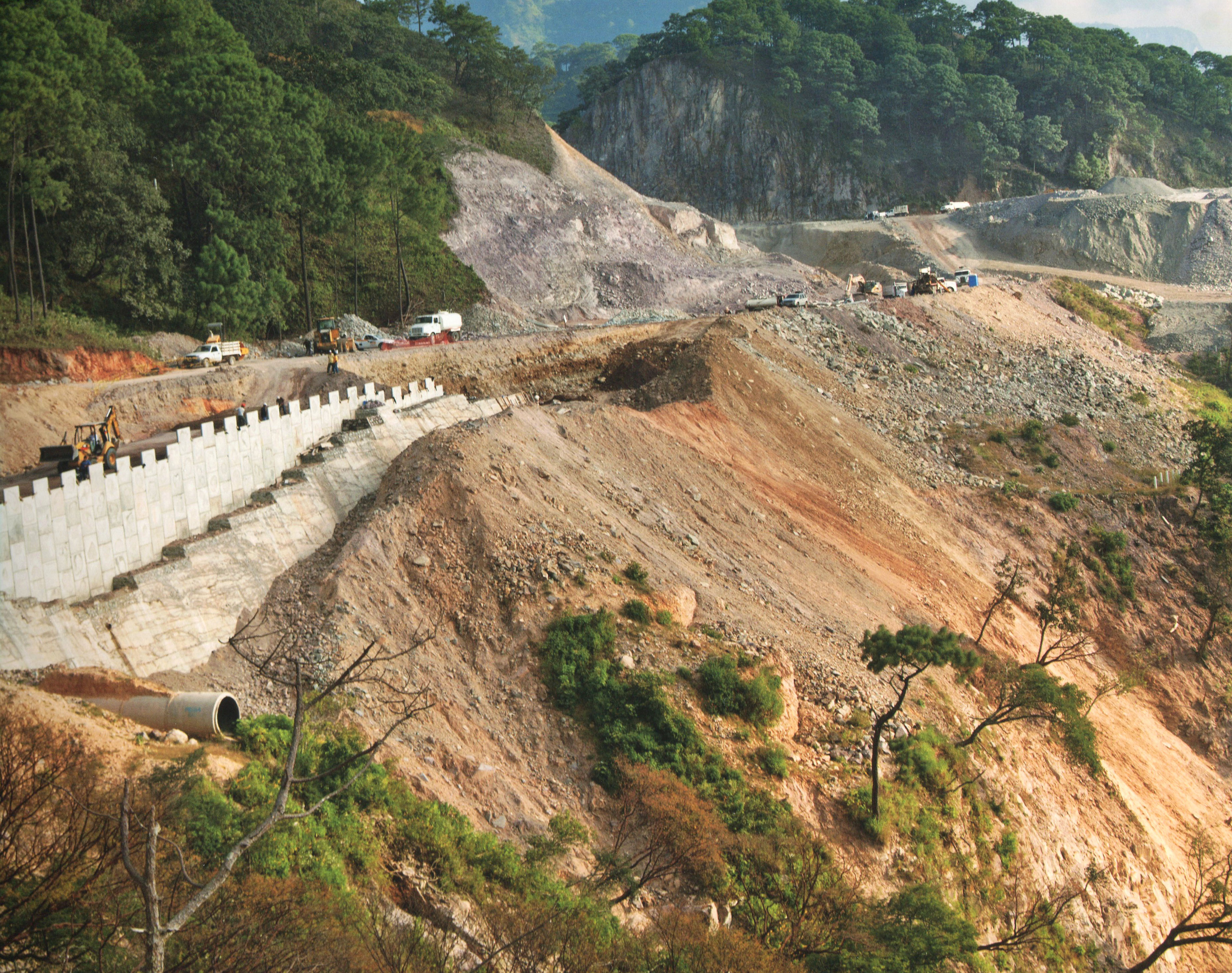
Una de las bocas del túnel más difíciles fue la entrada del túnel de Durango Baluarte. Un bloque ton 20.000 estrelló en el portal delantero y requiere los ingenieros para mover el portal de entrada 8 metros a la derecha, así como el uso de anclas 25 metros de largo tensión en un patrón escalonado de 5 x 5 metros en la ladera.
One of the most difficult tunnel portals was the Durango entrance of the Baluarte tunnel. A 20,000 ton block crashed down at the front portal and required the engineers to move the portal entrance 8 meters to the right as well as using 25 meter long tension anchors in a staggered pattern of 5 x 5 meters on the slope. Image by SCT
Túnel Baluarte Image by SCT
Image by SCT
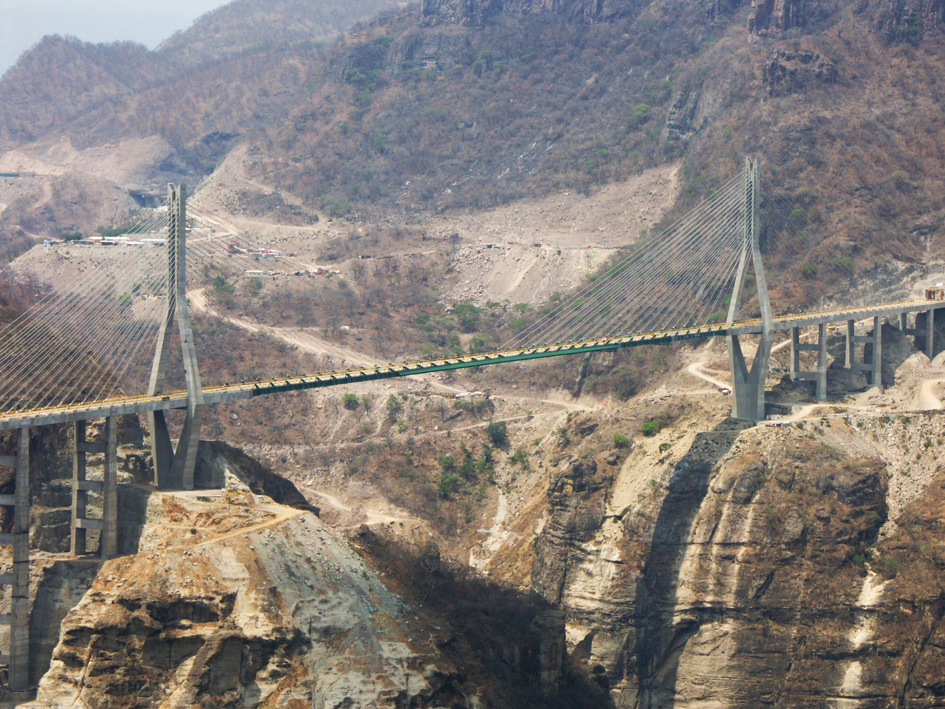
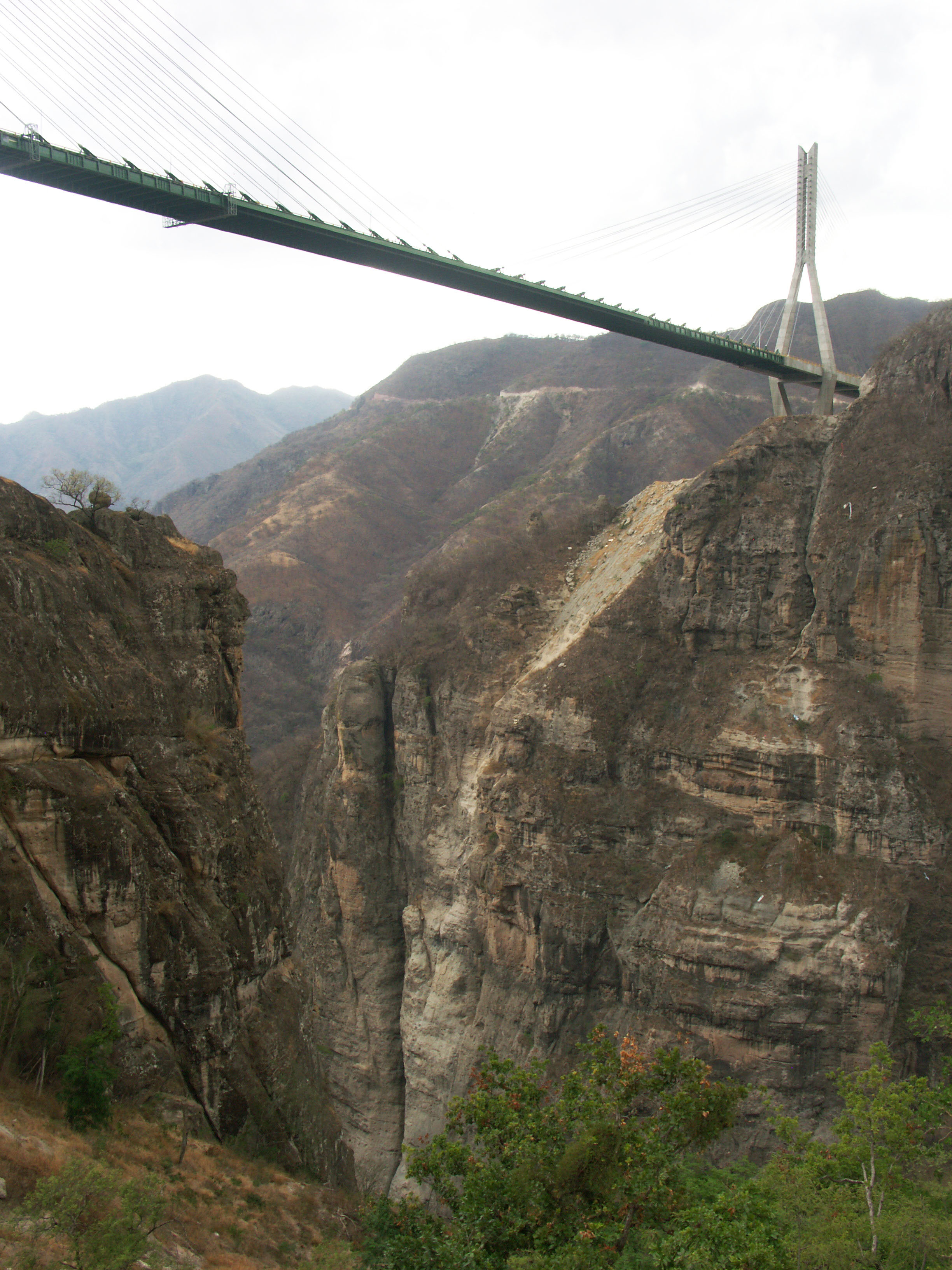
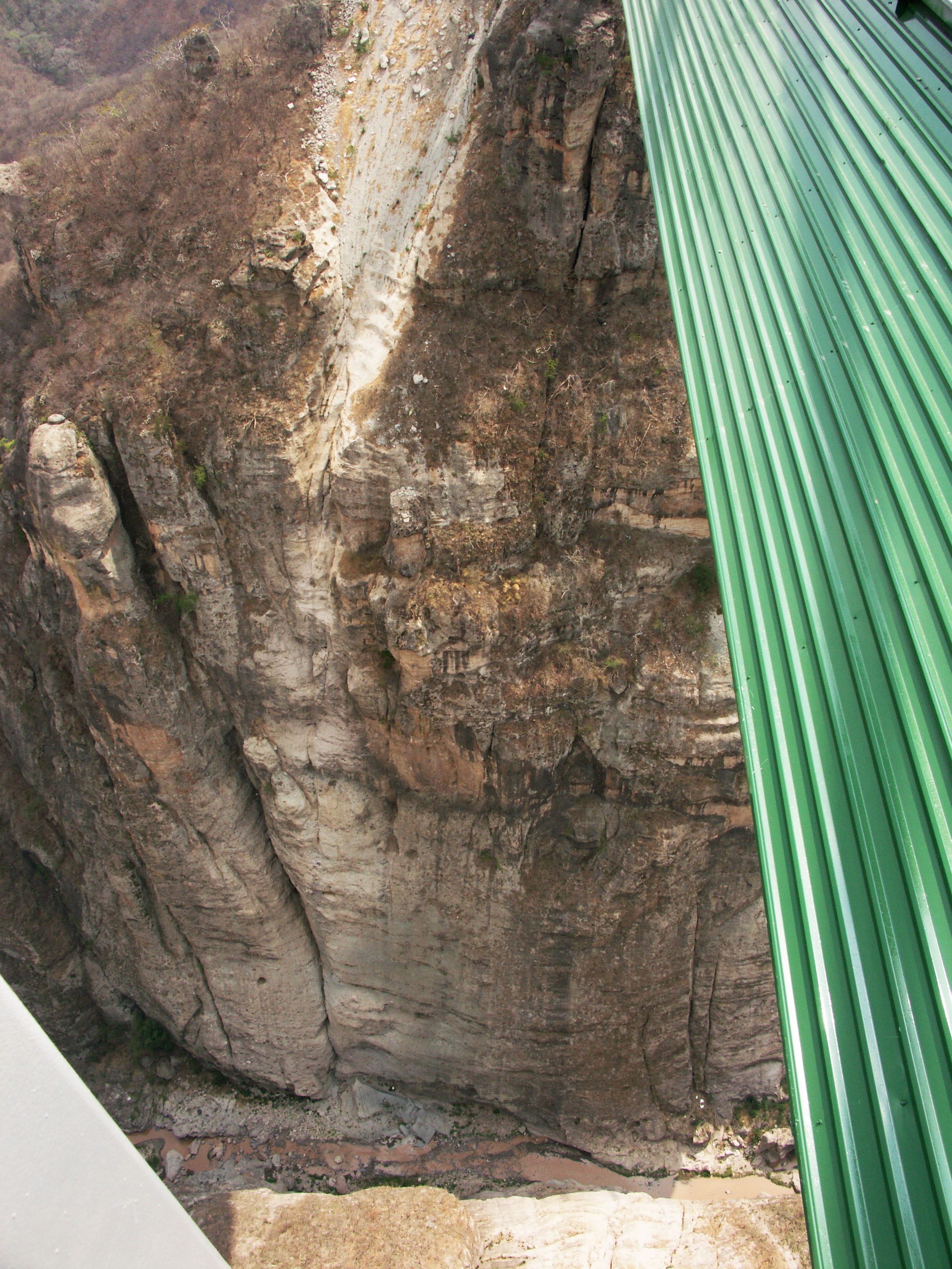
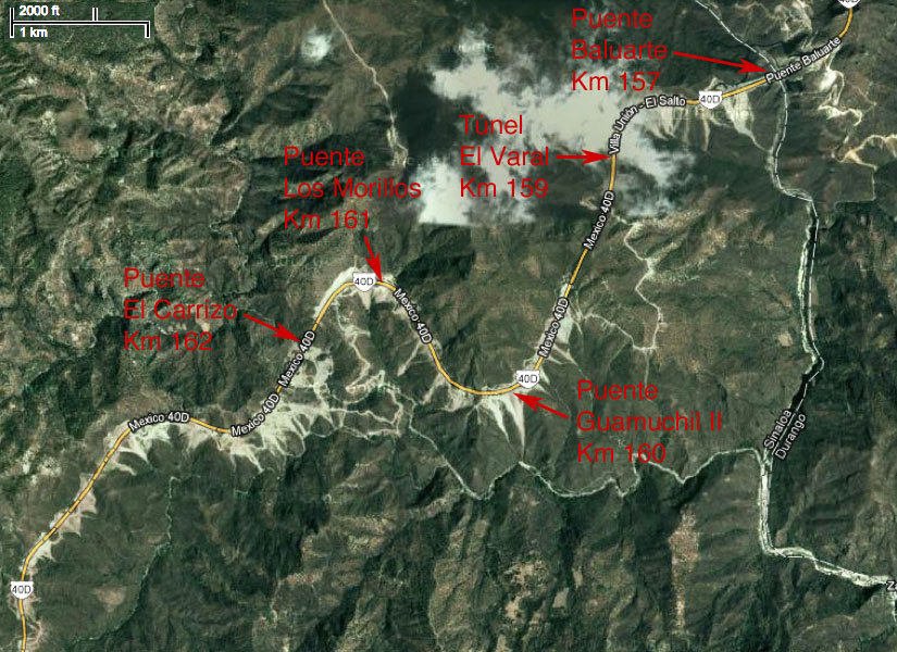
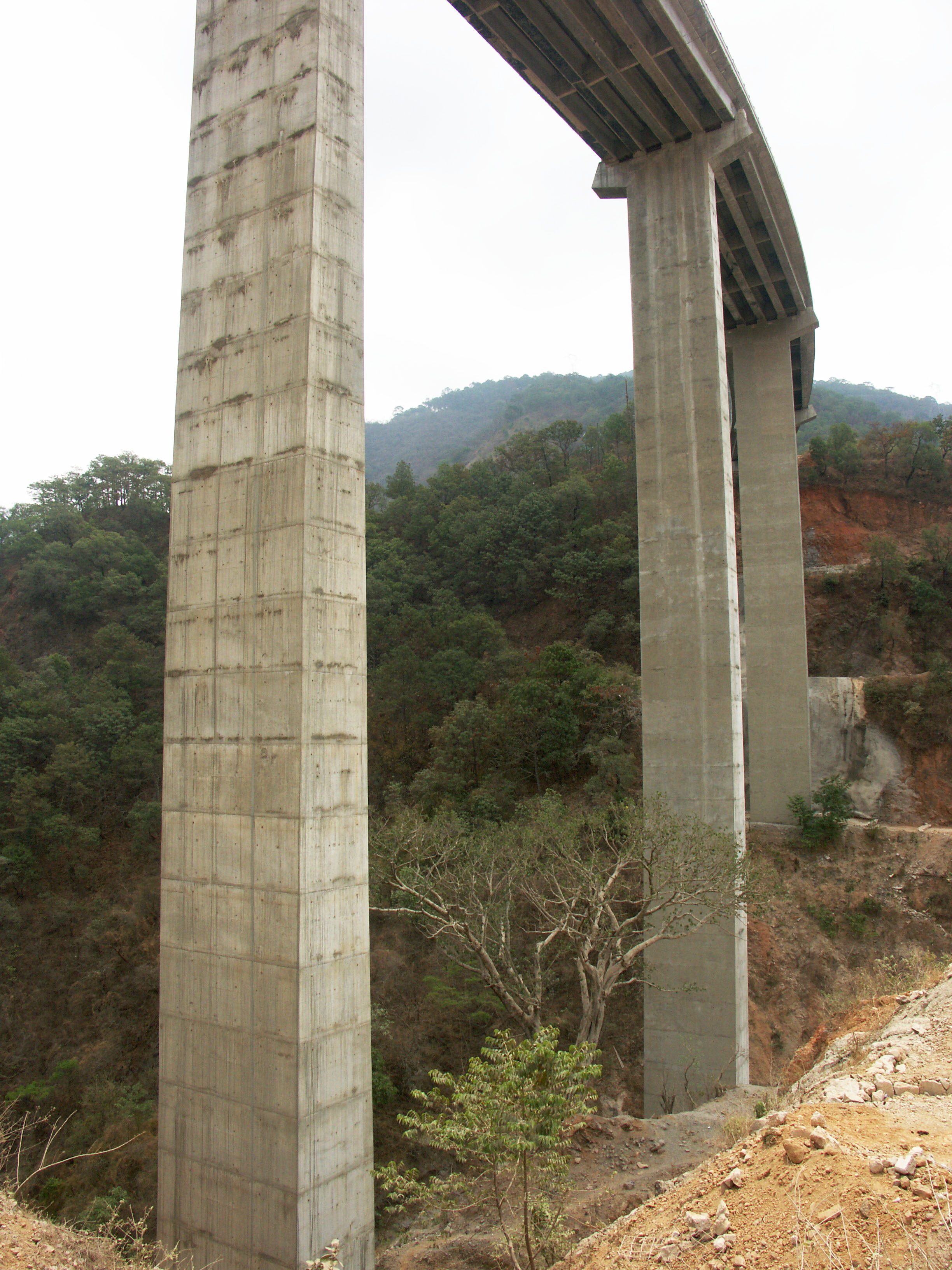
El gran puente Baluarte en el kilómetro 157. El más alto en el continente americano a 390 metros. Image by Eric Sakowski / HighestBridges.com
Image by Eric Sakowski / HighestBridges.com
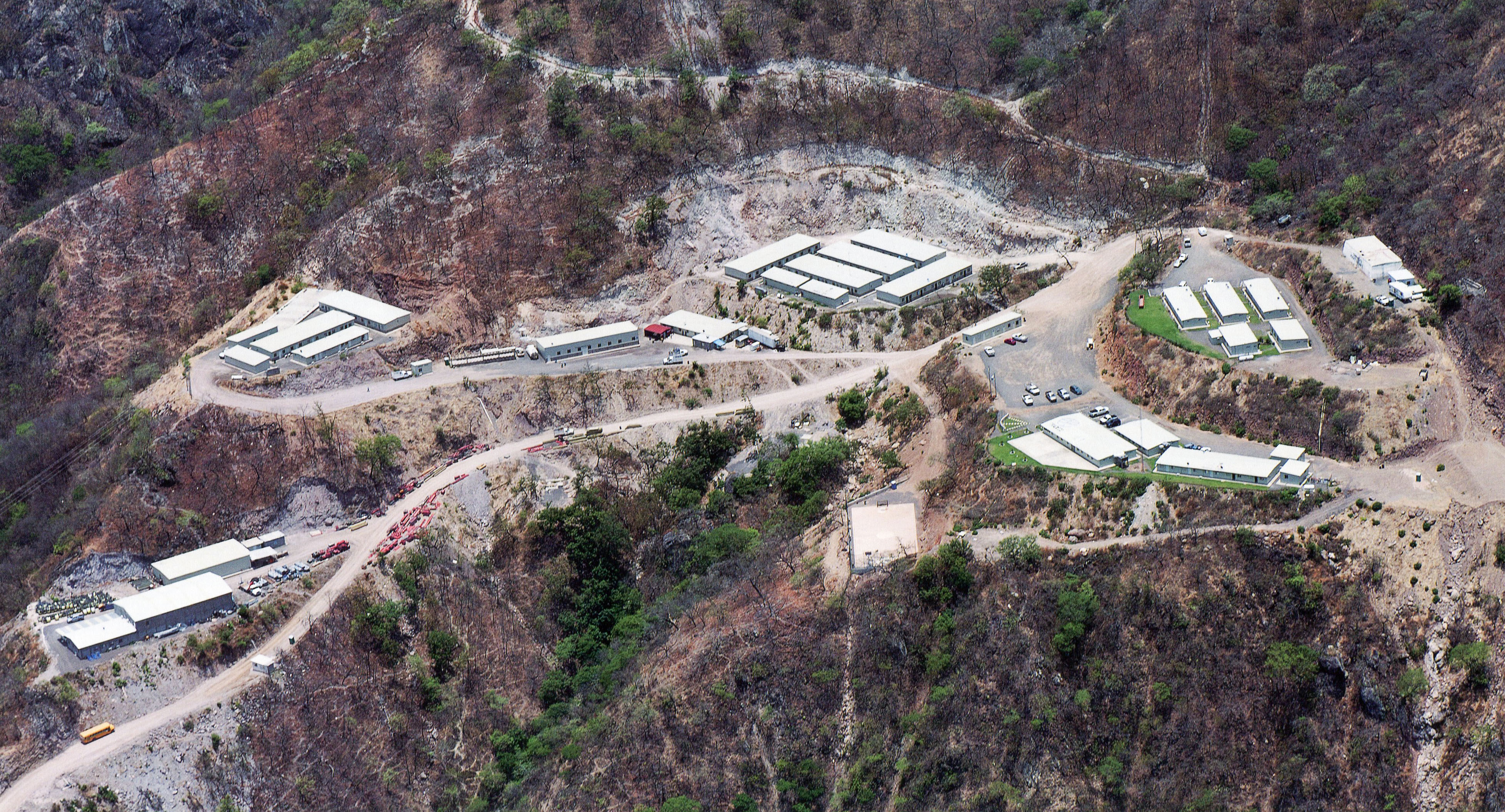
Trabajador de la vivienda y de la sede para la construcción del puente Baluarte. Image by SCT
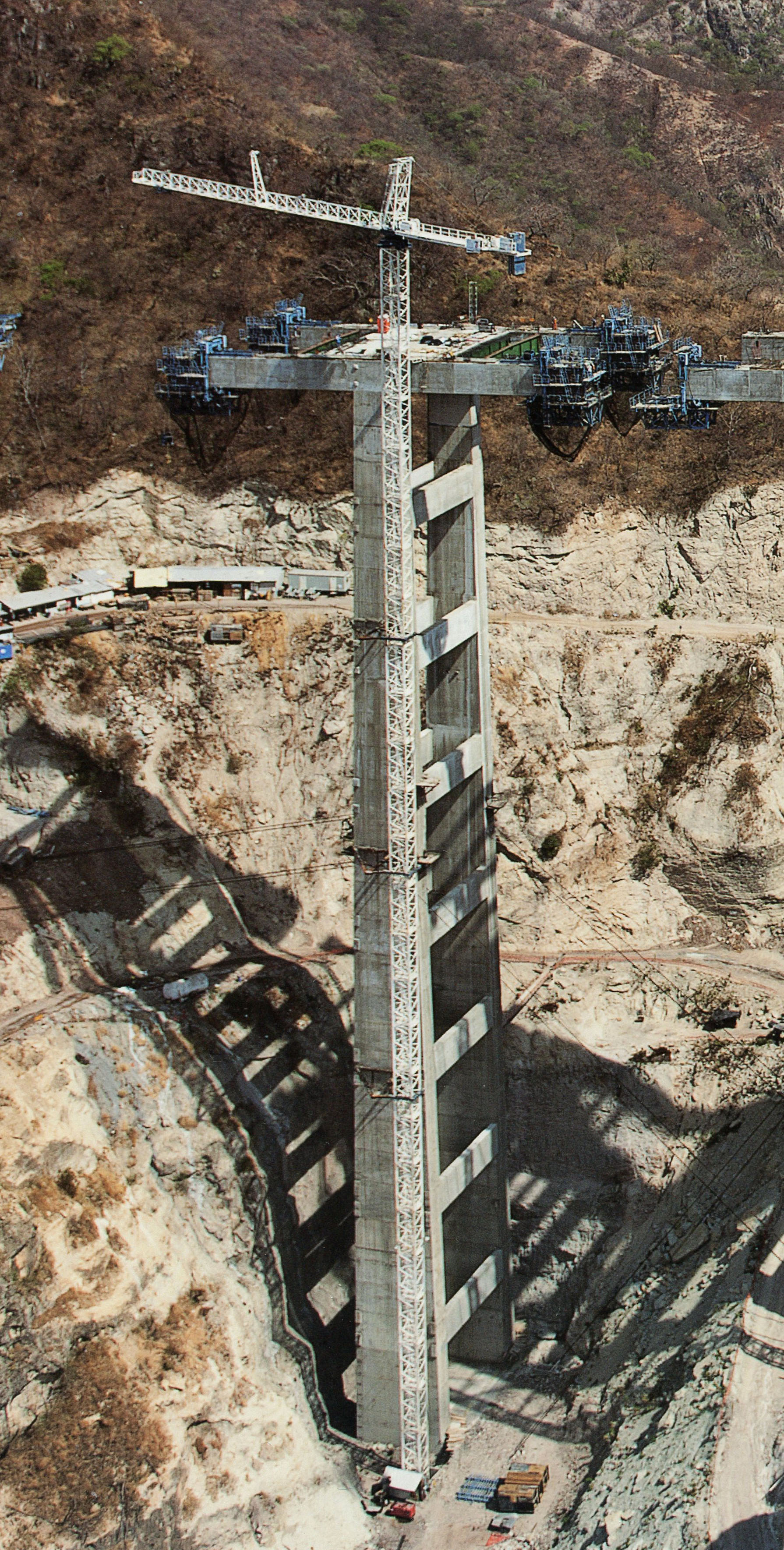
Puente Baluarte pila 9 está a 140 metros de altura. Image by SCT
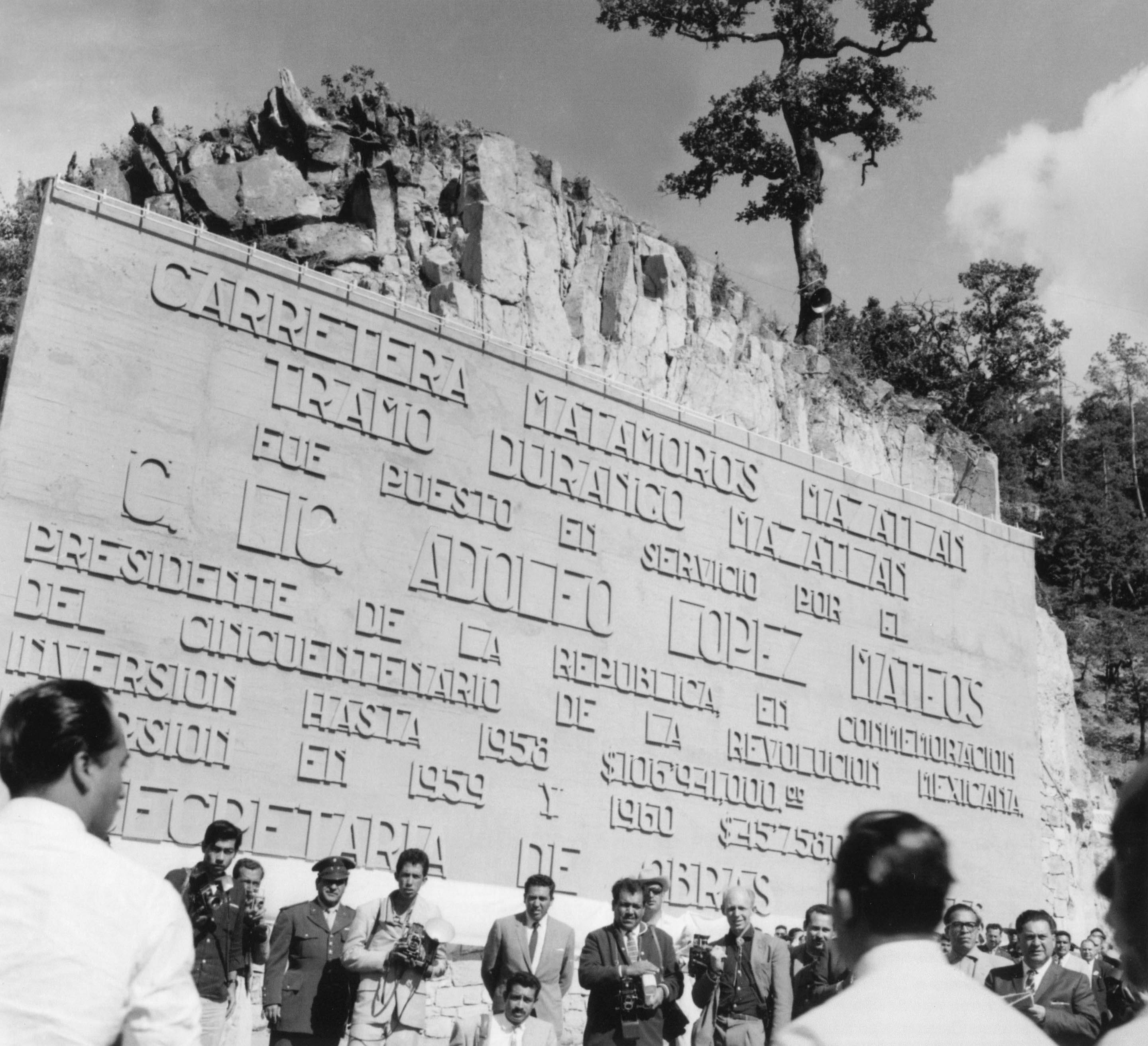
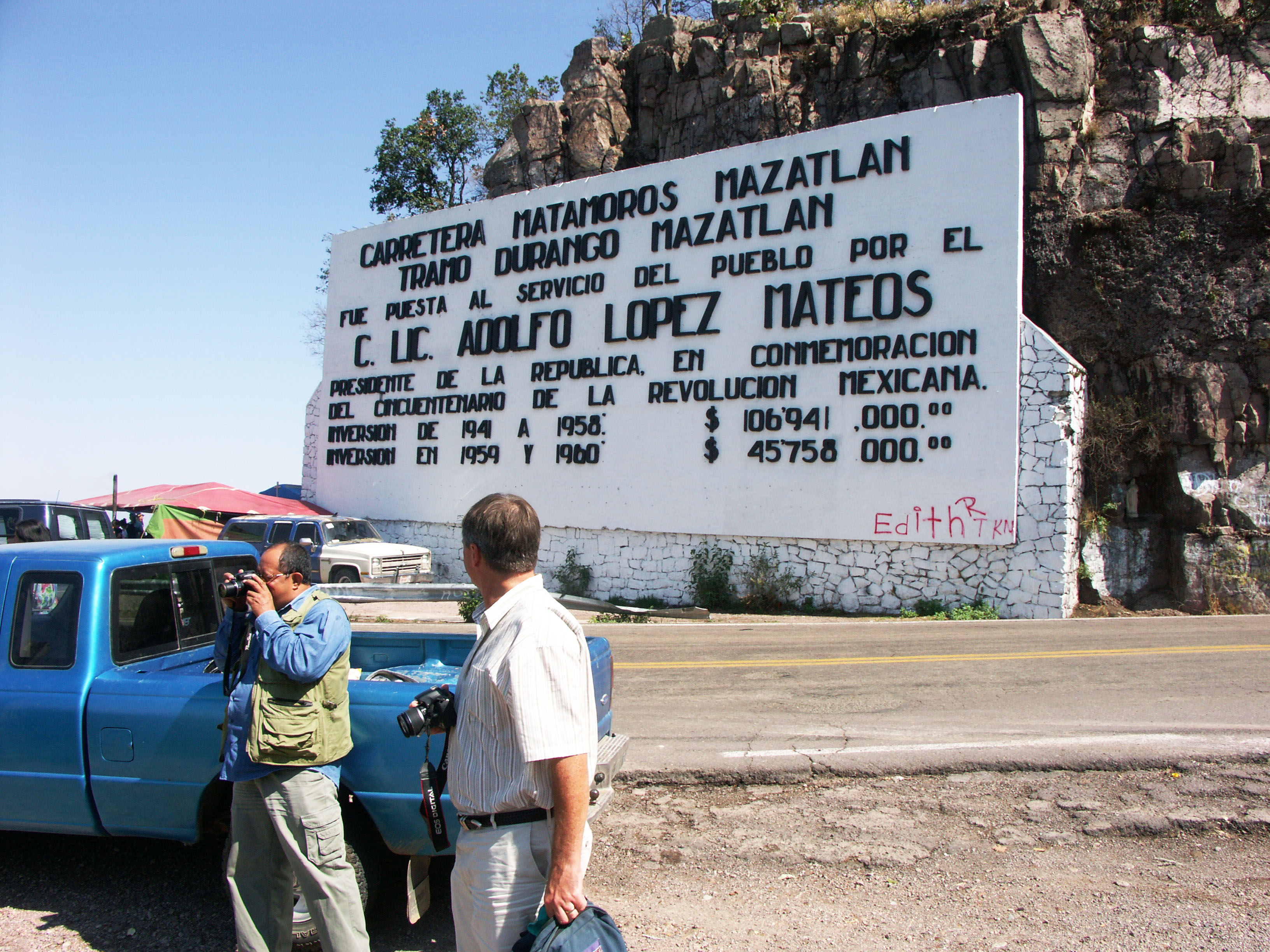
Devil's Backbone sign & inauguration in 1960 with Presidente Adolfo López Mateos. Image by SCT
Image by Eric Sakowski / HighestBridges.com
Puentes de kilómetros 157 - 166
Túnel El Varal en el kilómetro 160. Image by Eric Sakowski / HighestBridges.com
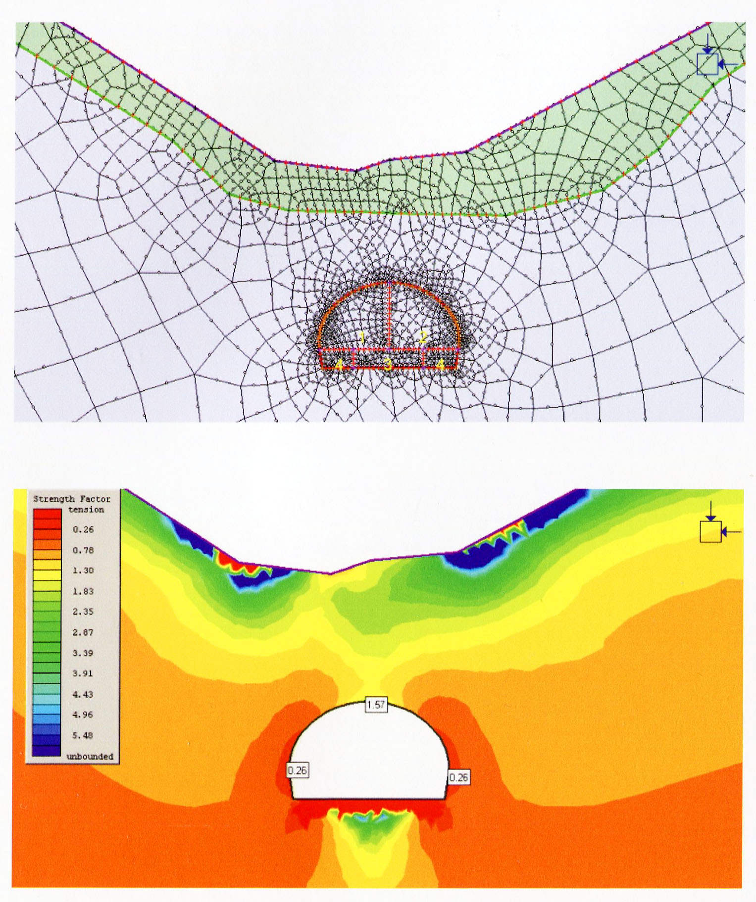
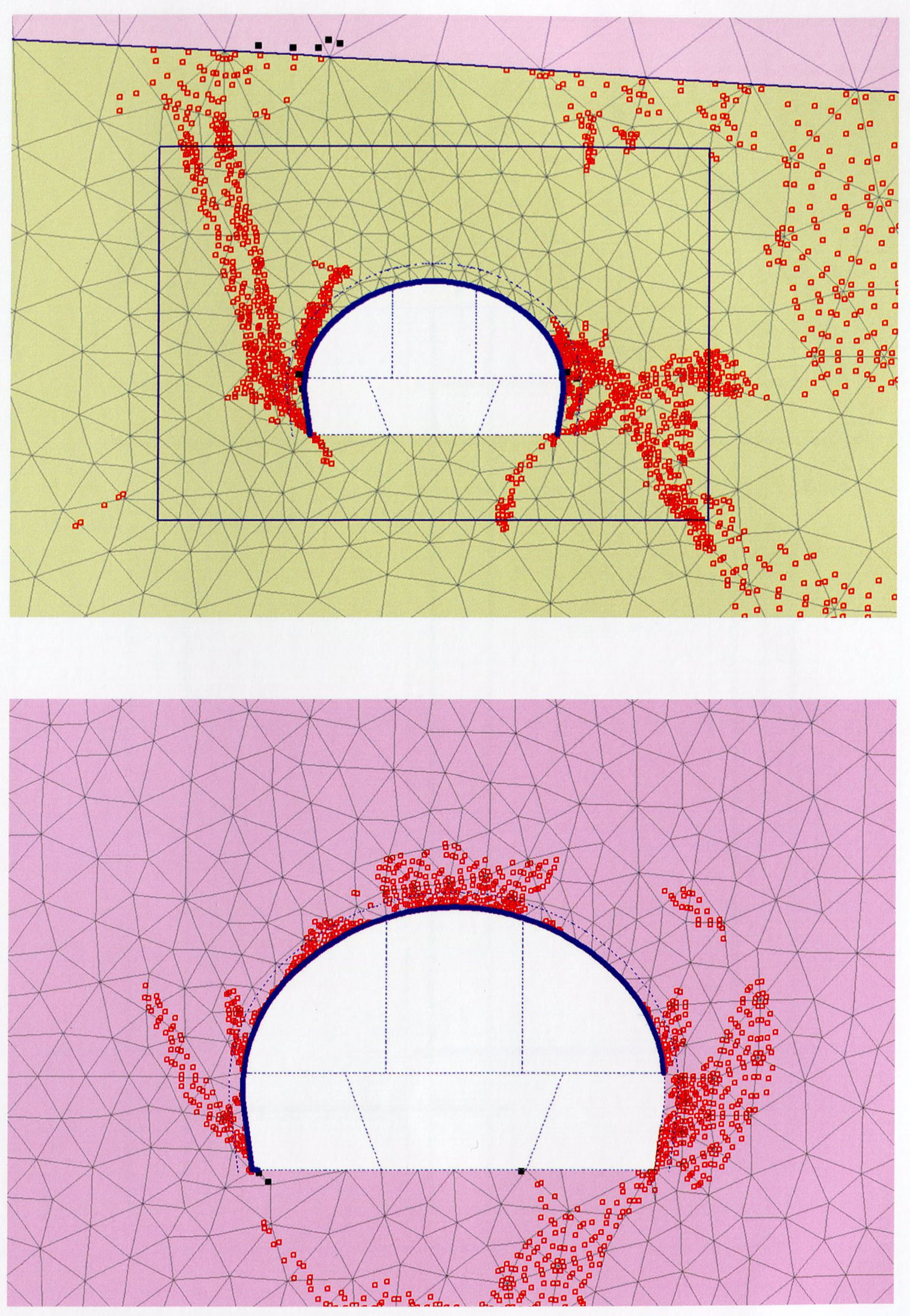
Malla de modelado y diagrama de esfuerzo de la masa de roca circundante El túnel Varal. Para estimar el peso de una cuña de roca que podrían deslizarse hacia el interior de un túnel y debe ser compatible con el revestimiento, los parámetros se debe calcular para pago roca en la tecla, la anchura del túnel, la unidad de peso de la roca, la cohesión del sistema de fracturas inmediatamente encima de la tecla del túnel, la relación entre las tensiones horizontal y vertical, la profundidad del túnel y el ángulo de fricción inmediatamente encima de la tecla del túnel.
Mesh modeling and stress diagram of the rock mass surrounding El Varal tunnel. To estimate the weight of a rock wedge that could slide towards the inside of a tunnel and must be supported by the lining, parameters must be calculated for rock surcharge at the key, the width of the tunnel, the unit weight of the rock, the cohesion of the fracture system immediately above the key of the tunnel, the ratio between horizontal and vertical stresses, the depth of the tunnel and the angle of friction immediately above the key of the tunnel. Image by SCT
Puente Guamuchil I en el kilómetro 160. Puente cuenta con 6 vanos de 28.5 + 4 de 38 + 28.5 metros.Image by Eric Sakowski / HighestBridges.com
Puente Guamúchil II en el kilómetro 160. Puente cuenta con 5 vanos de 49 + 95 + 49 + 2 de 38 metros. Image by Eric Sakowski / HighestBridges.com
Image by SCT
Puente Los Morillos en el kilómetro 161. Puente cuenta con 4 vanos de 37.5 + 50 + 50 + 37.5 metros. Image by Eric Sakowski / HighestBridges.com
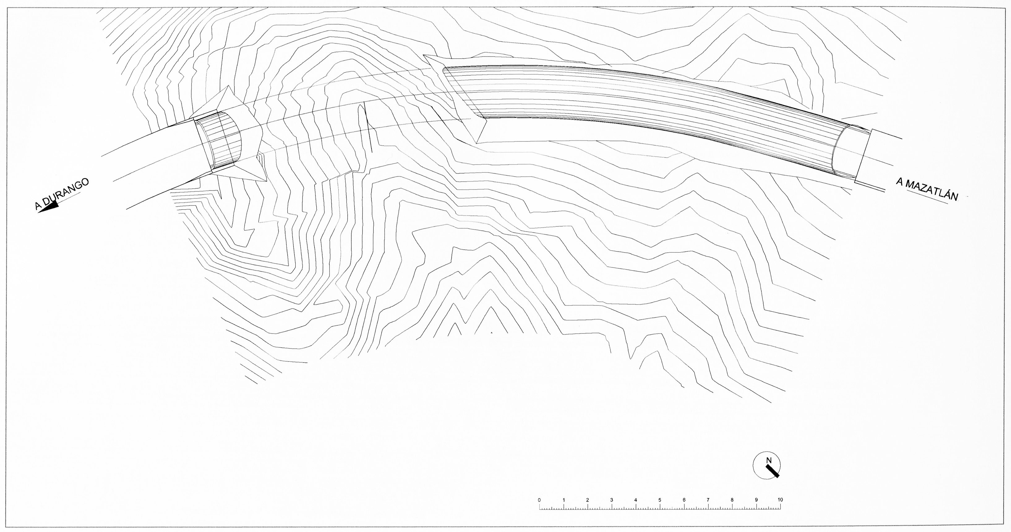
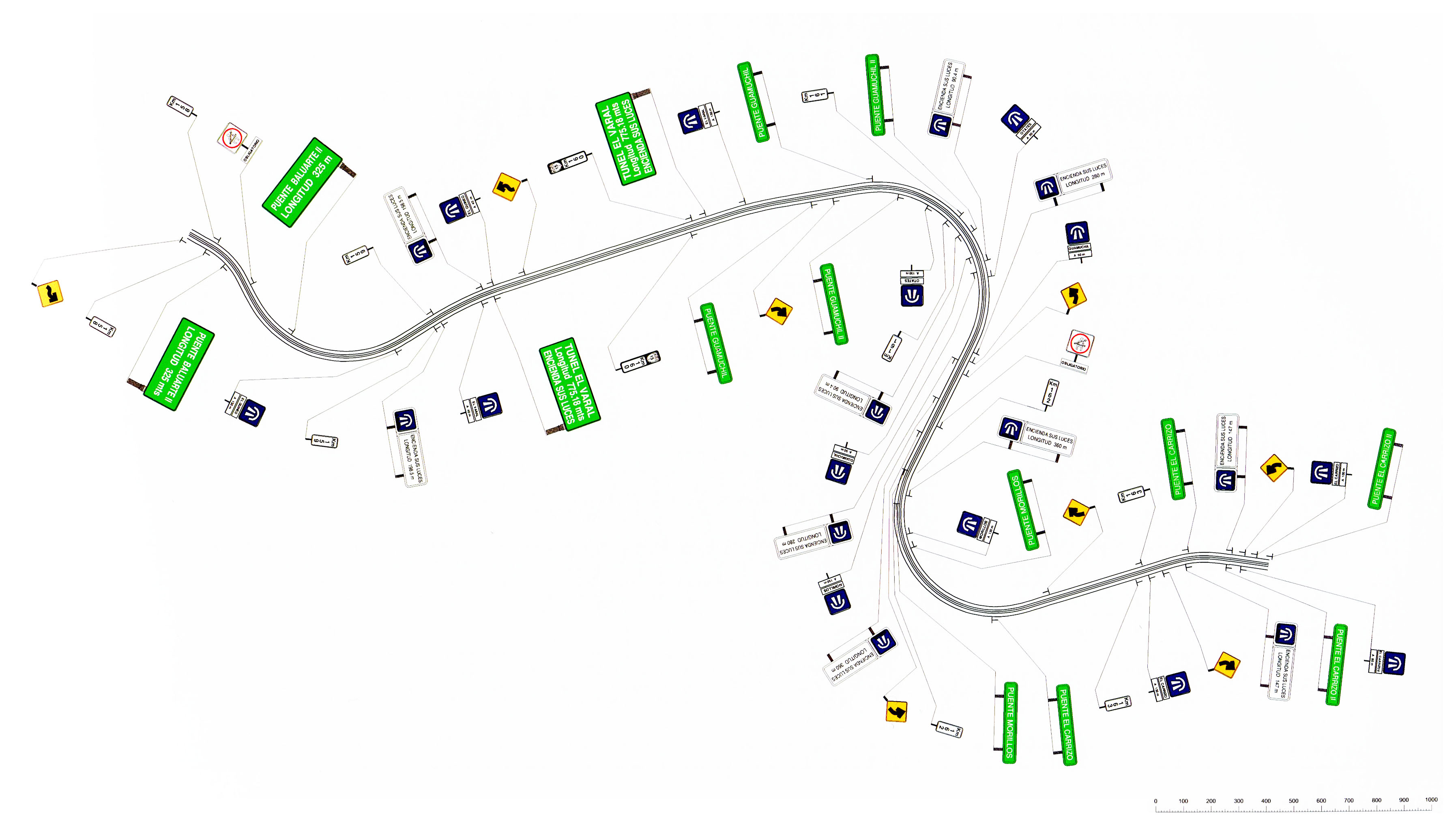
Vista en planta de las señales de tráfico para ser colocado entre los kilómetros 158 y 168 entre Baluarte y Puentes El Carrizo.
Plan view of traffic signs to be placed between kilometers 158 and 168 between Baluarte and El Carrizo Bridges. Image by SCT
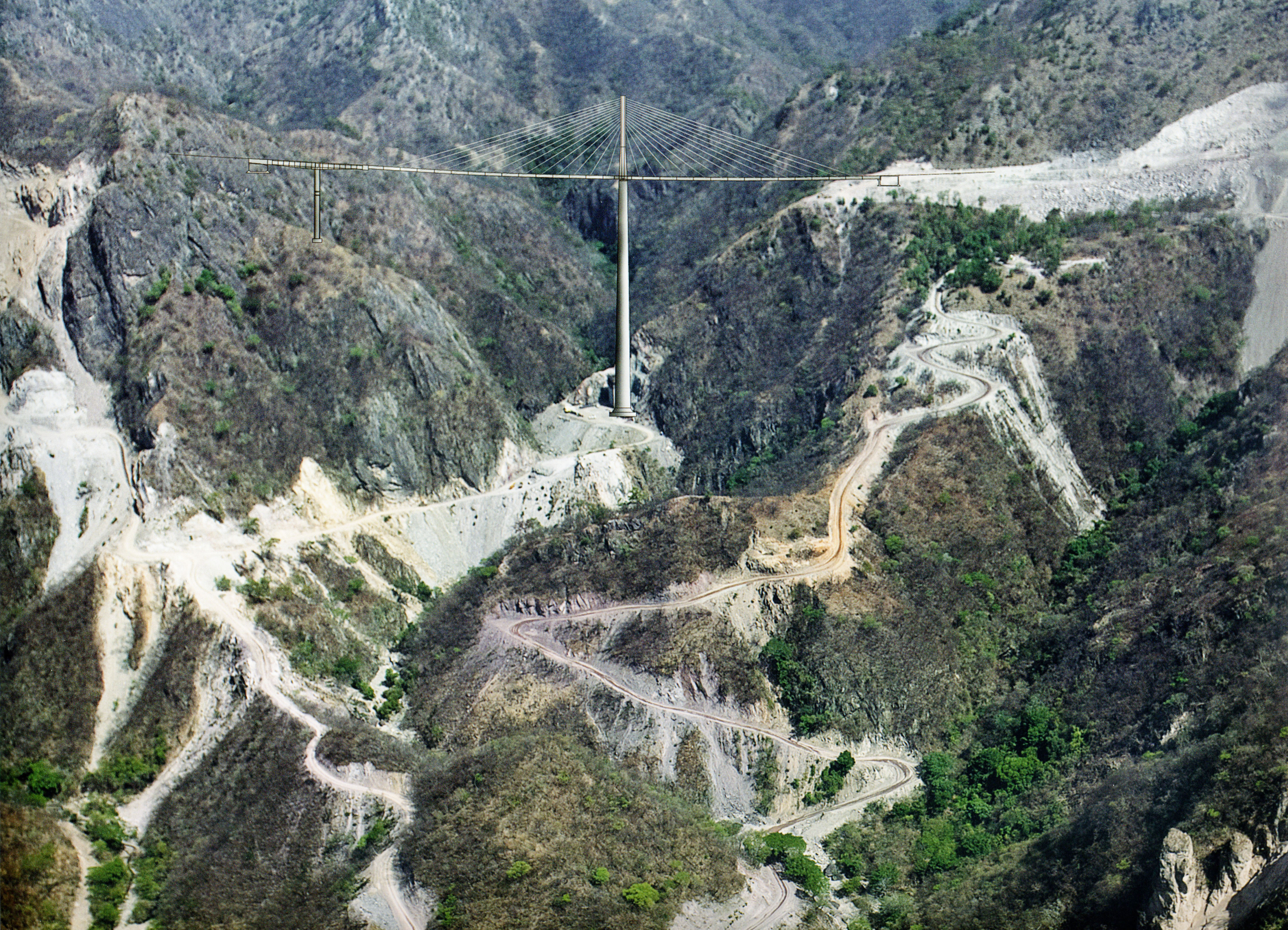
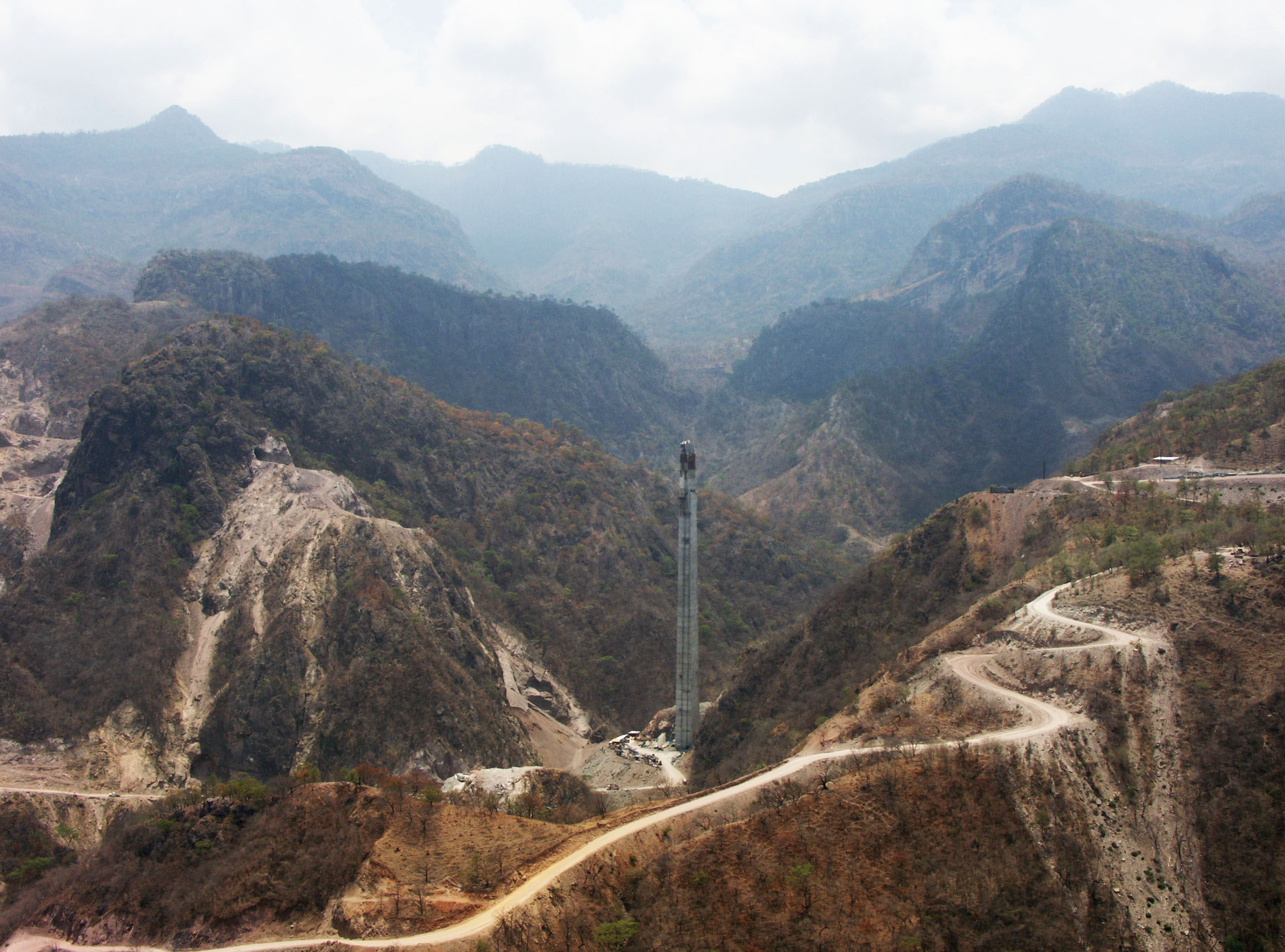
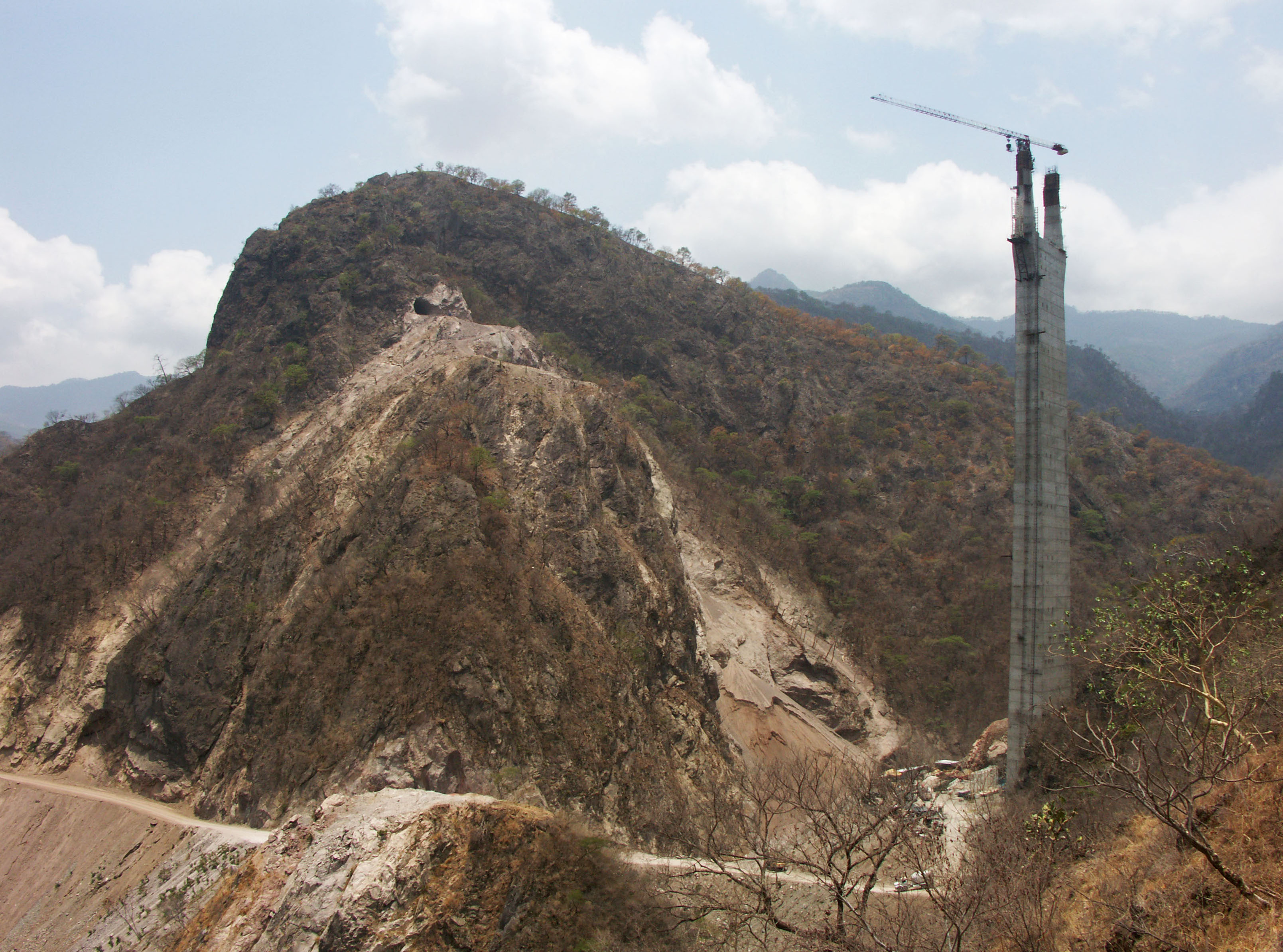
Puente El Carrizo -
Puente más alto en la carretera Durango-Mazatlán!
Puente El Carrizo con el puente drawning coloca sobre fotografía. Image by SCT
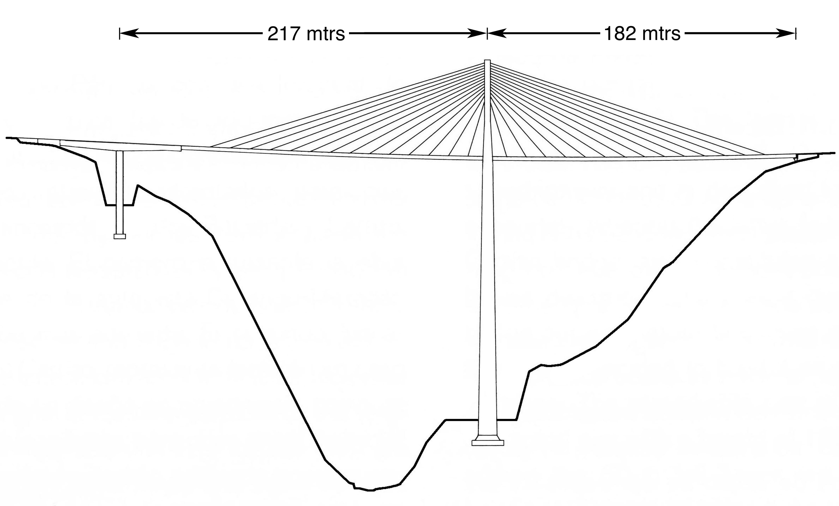
Puente El Carrizo drawing by Eric Sakowski / HighestBridges.com
Image by Eric Sakowski / HighestBridges.com
Image by Eric Sakowski / HighestBridges.com
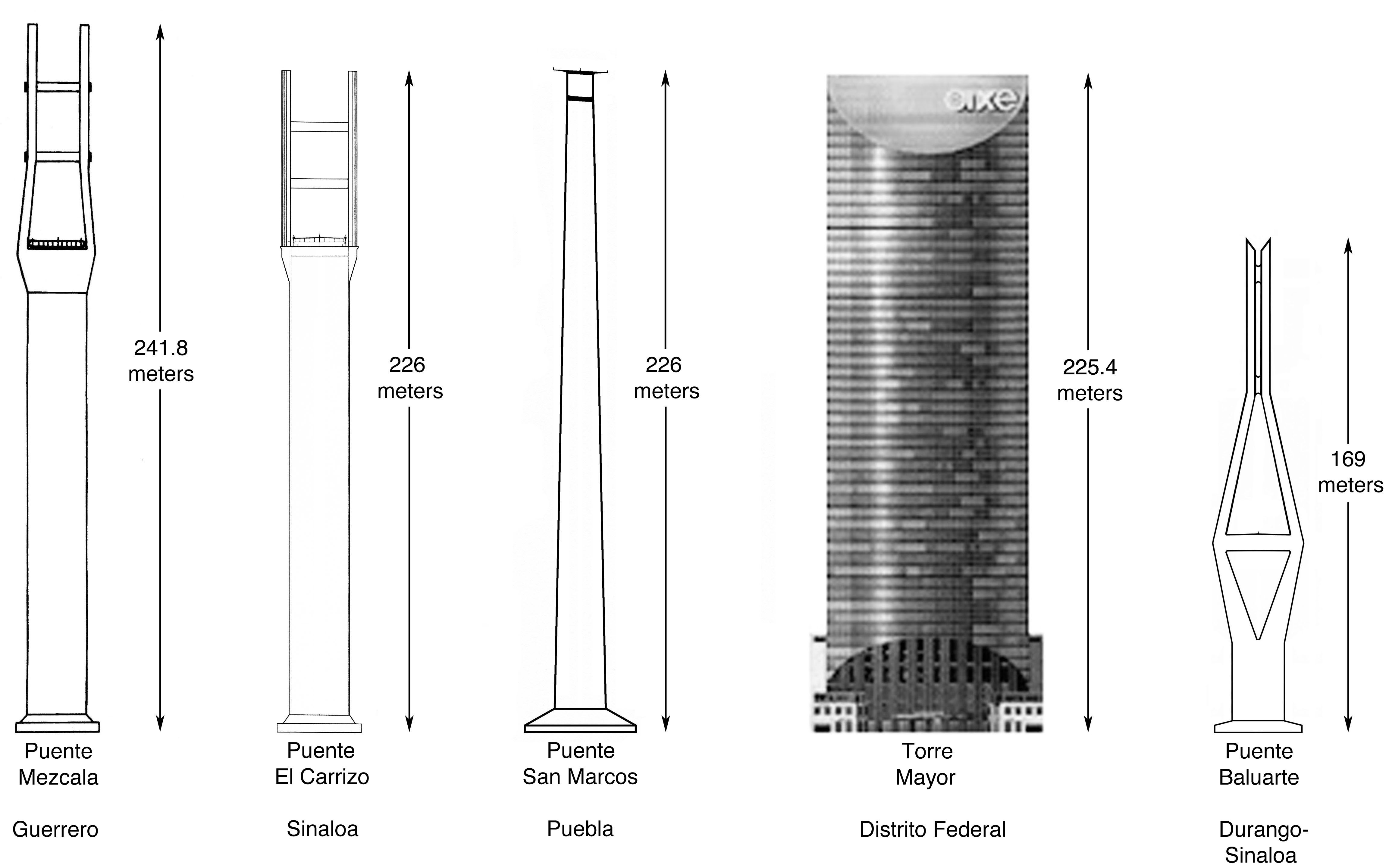
Más altos puentes de México y Torre Mayor
Más altos puentes de México y Torre Mayor diagram by Eric Sakowski / HighestBridges.com
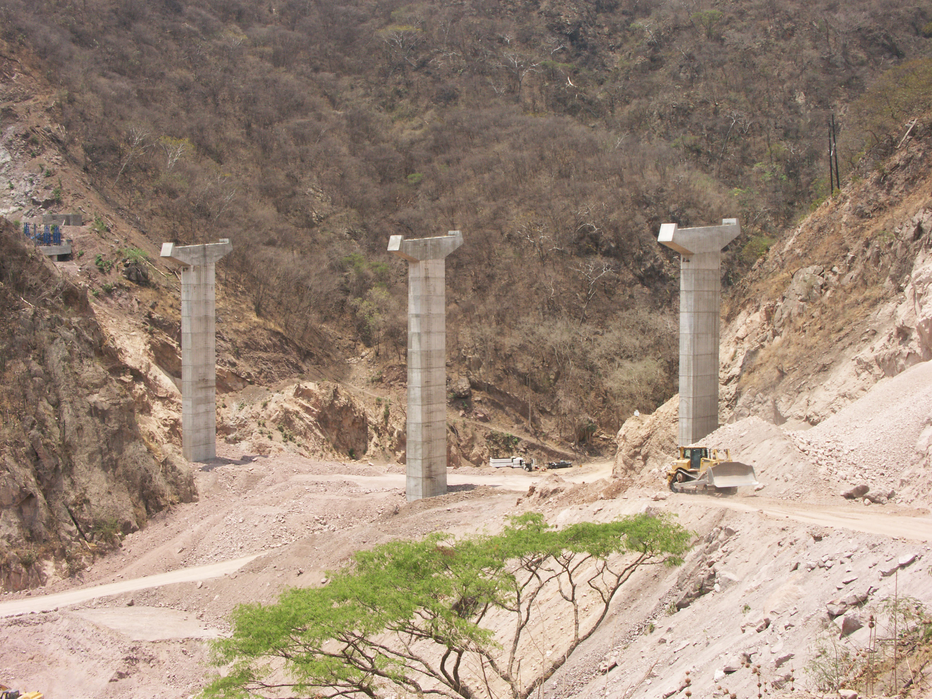
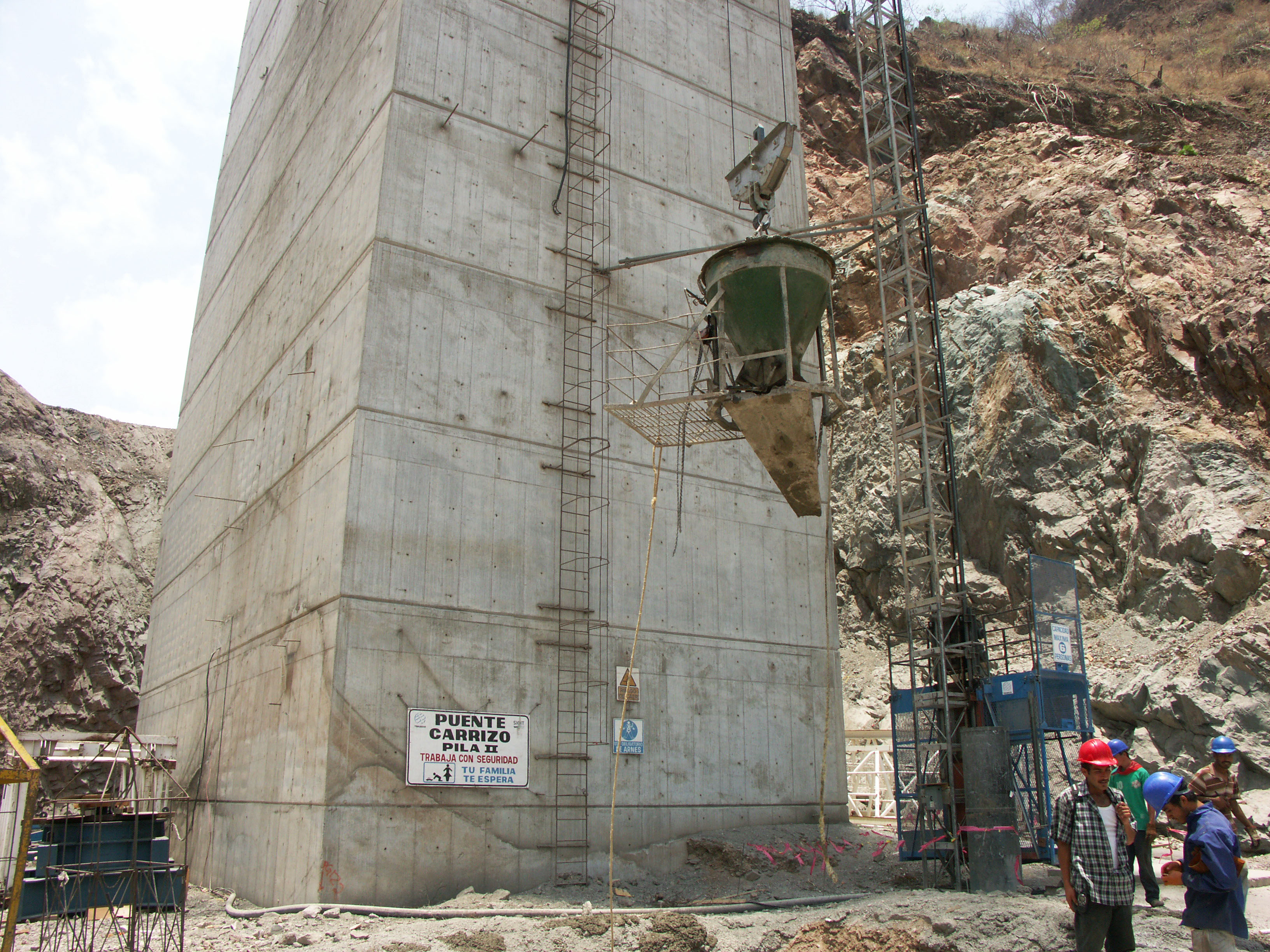
Puente El Carrizo pila II. Image by Eric Sakowski / HighestBridges.com
Image by Eric Sakowski / HighestBridges.com
Image by Eric Sakowski / HighestBridges.com
11 trabajadores colgar a 200 metros por encima del cañón de El Carrizo! Image by Eric Sakowski / HighestBridges.com
Puente El Carrizo satélite.
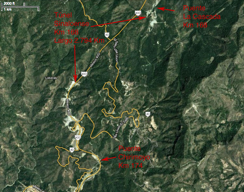
Puentes de kilómetros 167 - 175 y Túnel Sinaloenese.
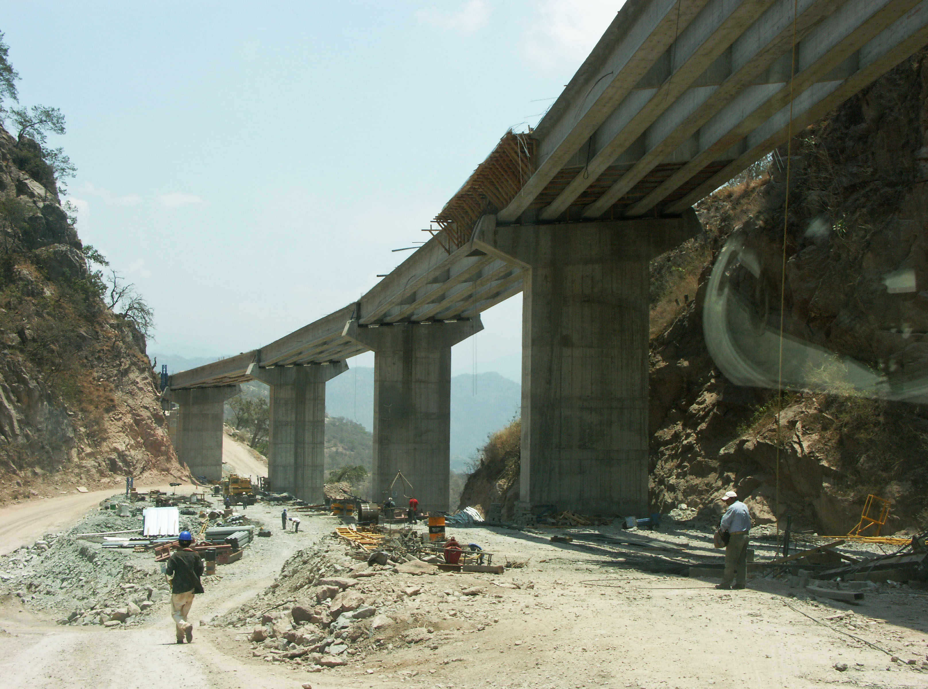
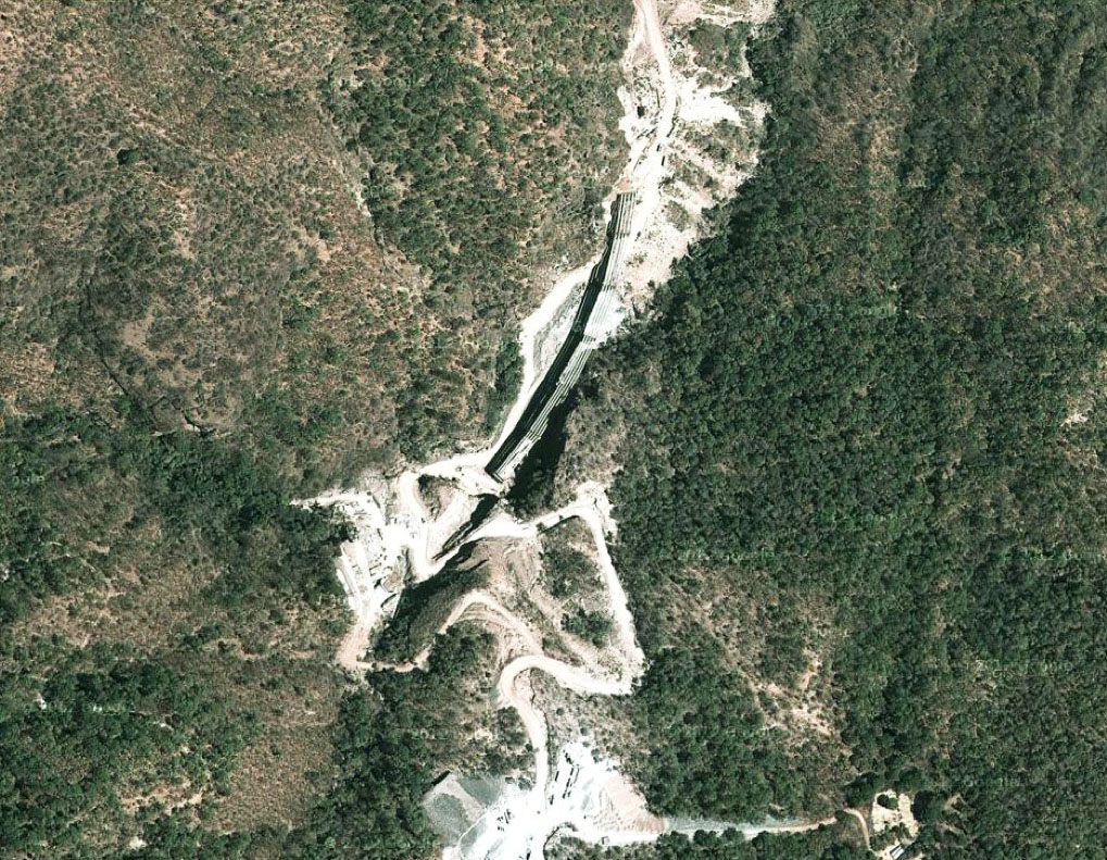
Puente La Cascada en el kilómetro 168. Puente cuenta con 7 vanos de 37.5 + 5 de 50 + 37.5 metros. Image by Eric Sakowski / HighestBridges.com
Puente Cascada satélite.
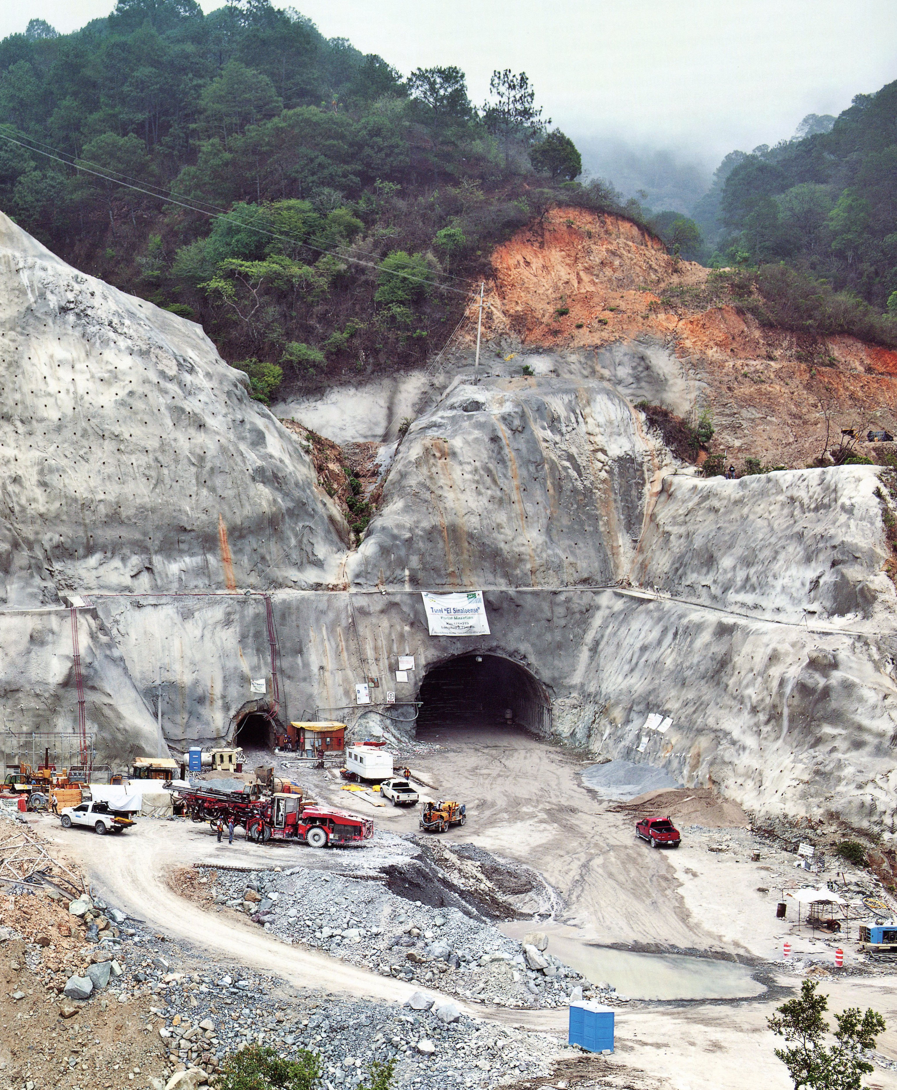
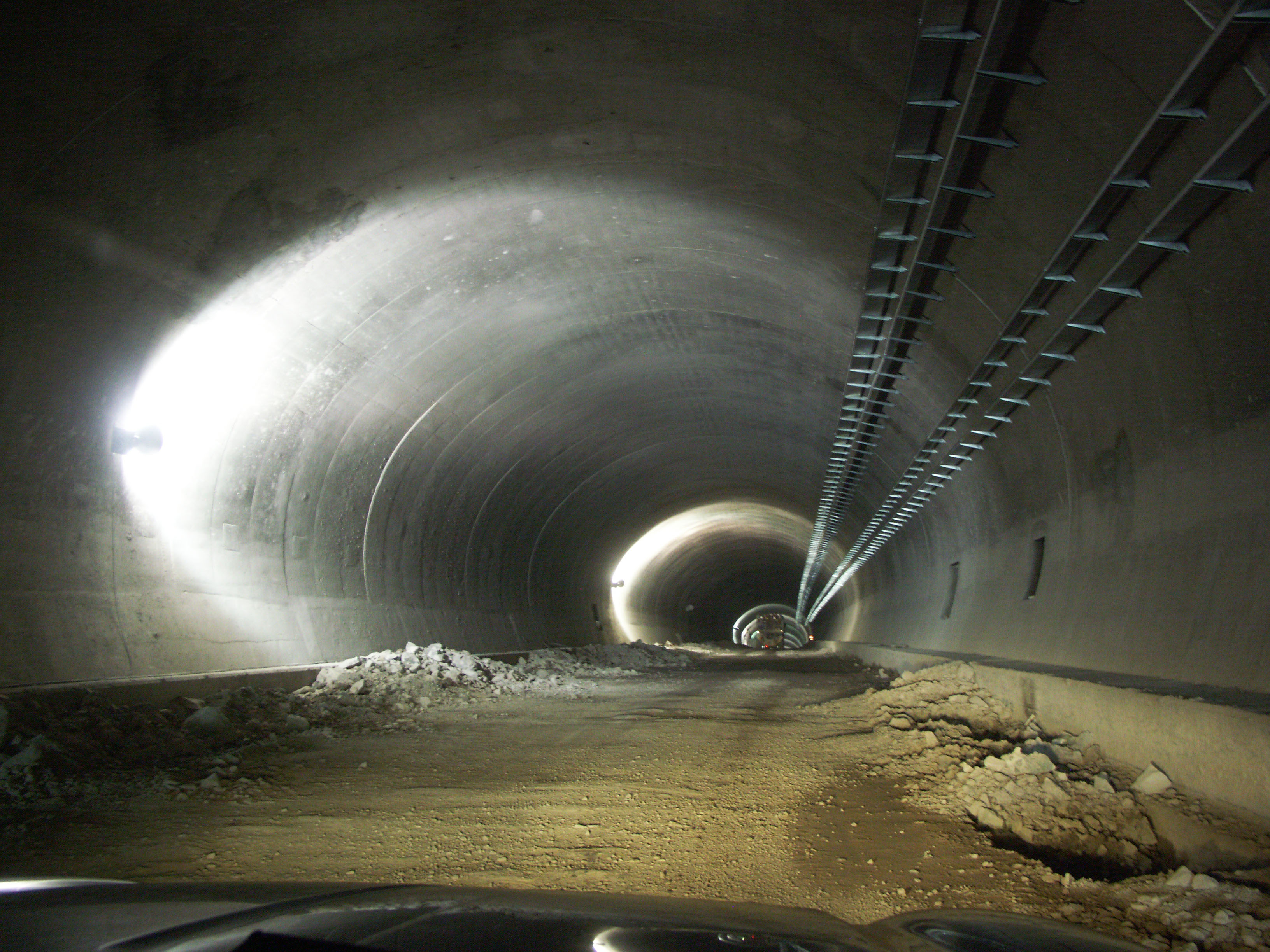
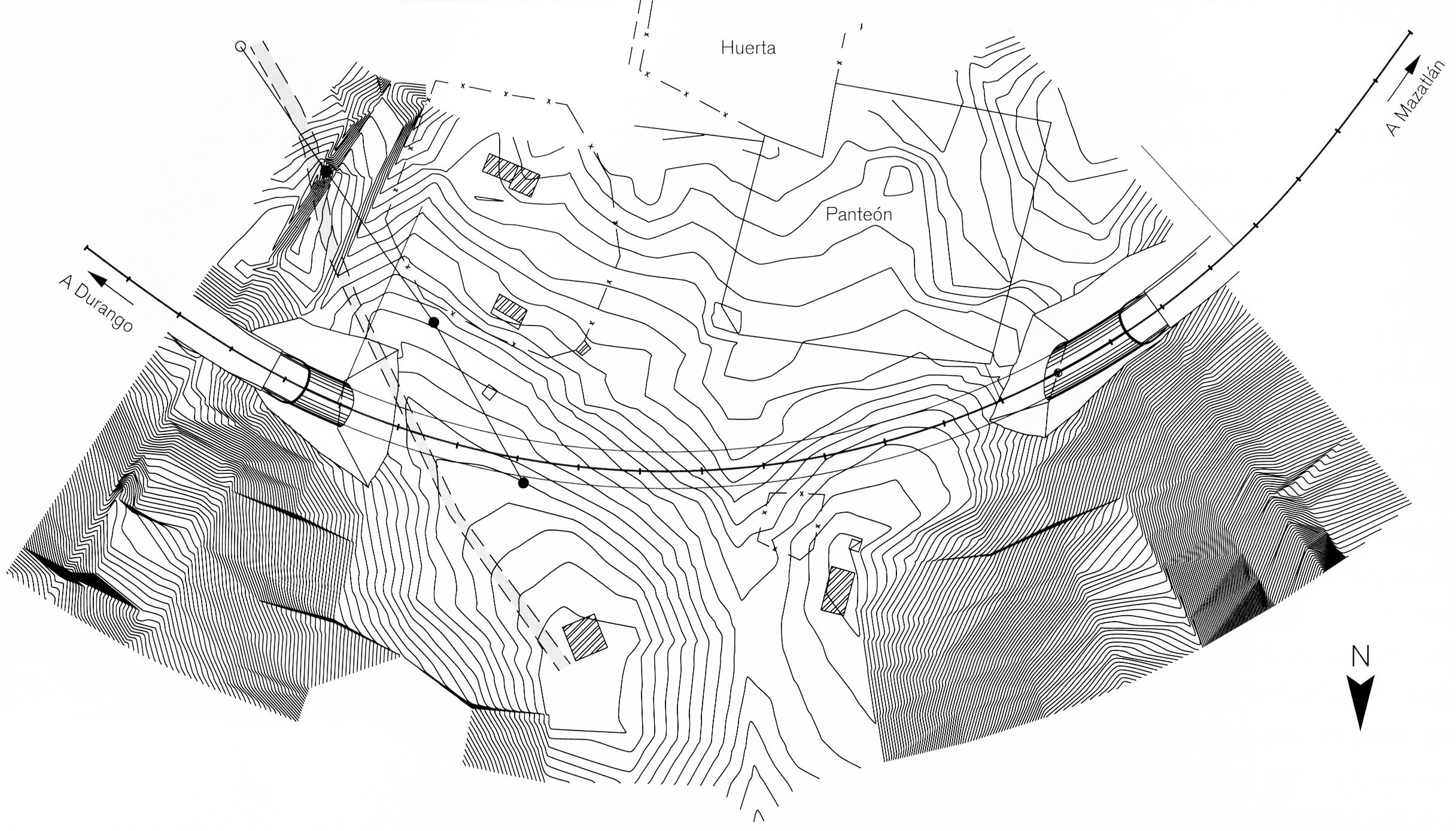
Túnel Sinaloenese -
Túnel más grande en la carretera Durango-Mazatlán!
Image by SCT
Túnel Sinaloenese este portal. Image by SCT
Túnel Sinaloenese este portal. Image by SCT
Efecto túnel básico. Image by SCT
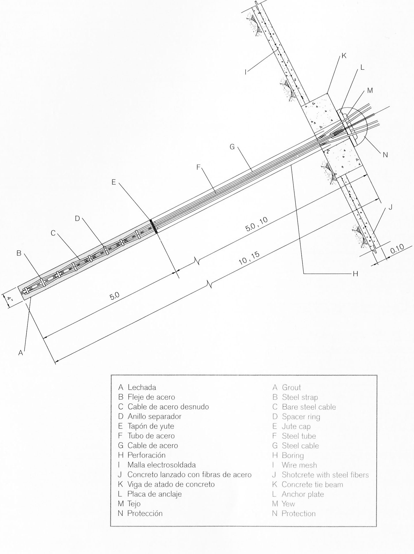
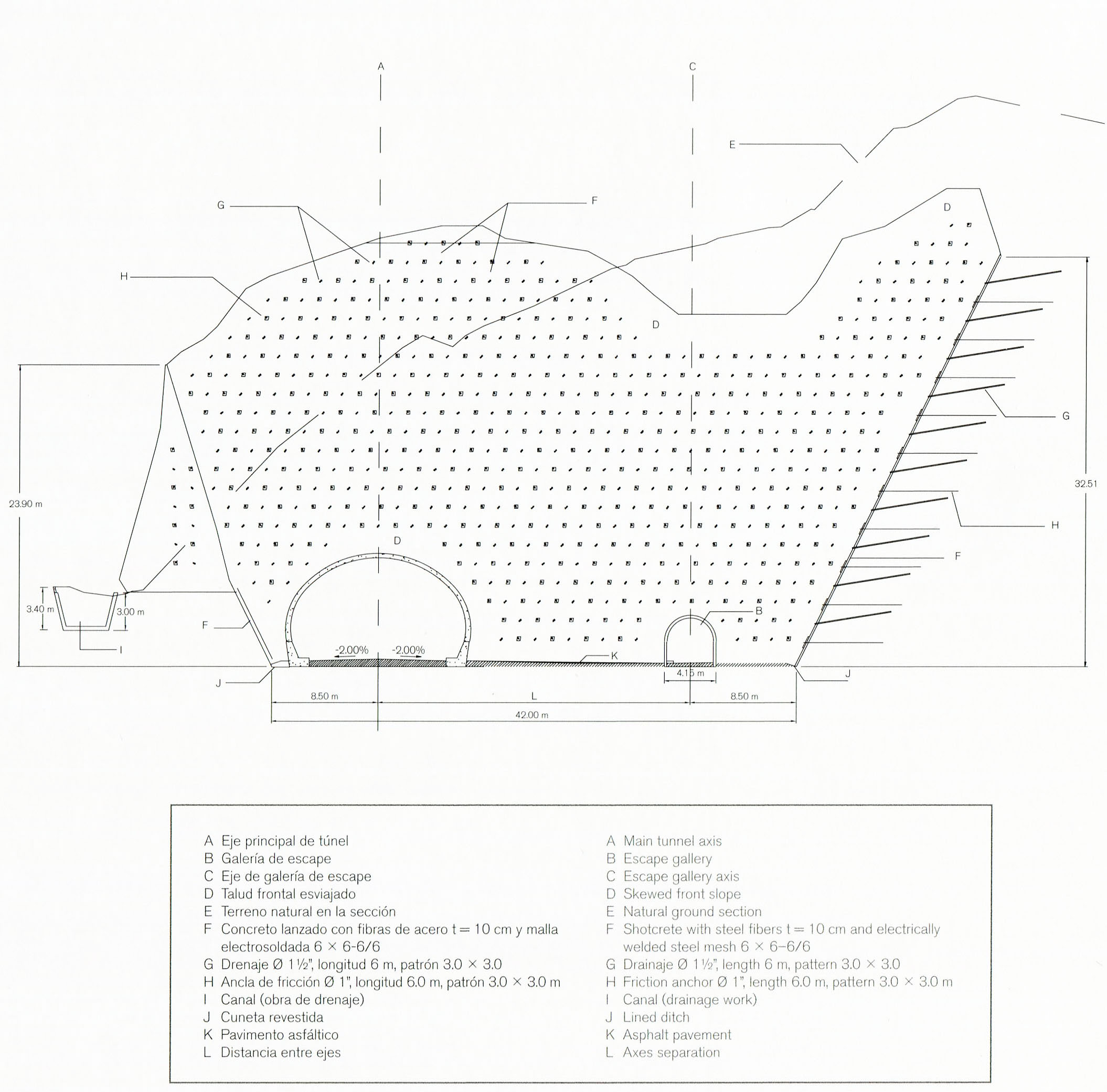
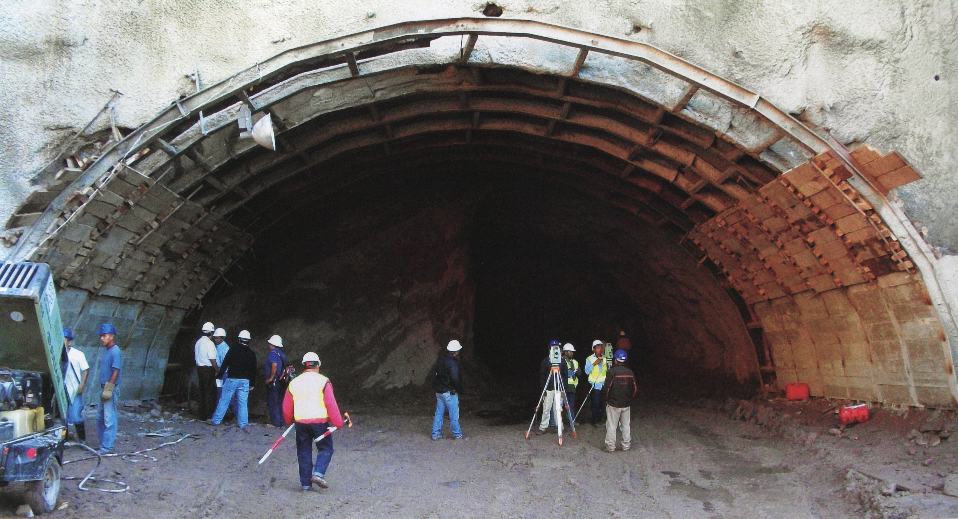
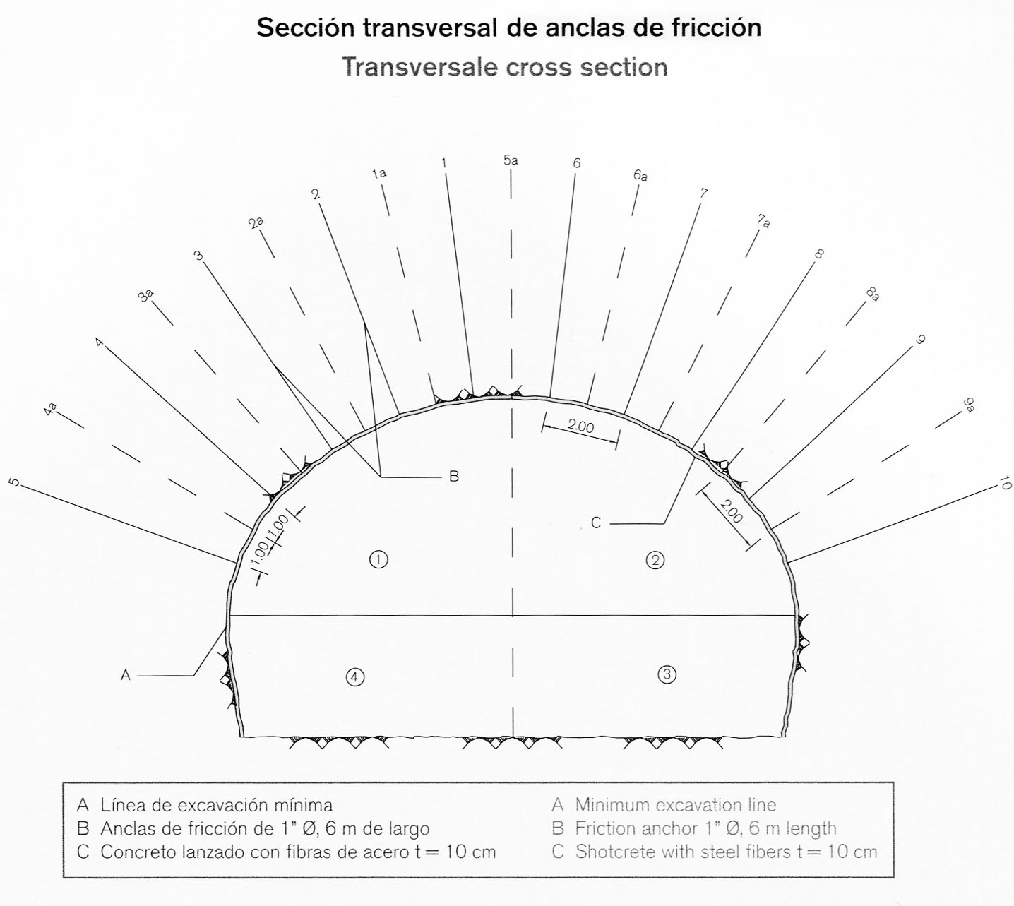
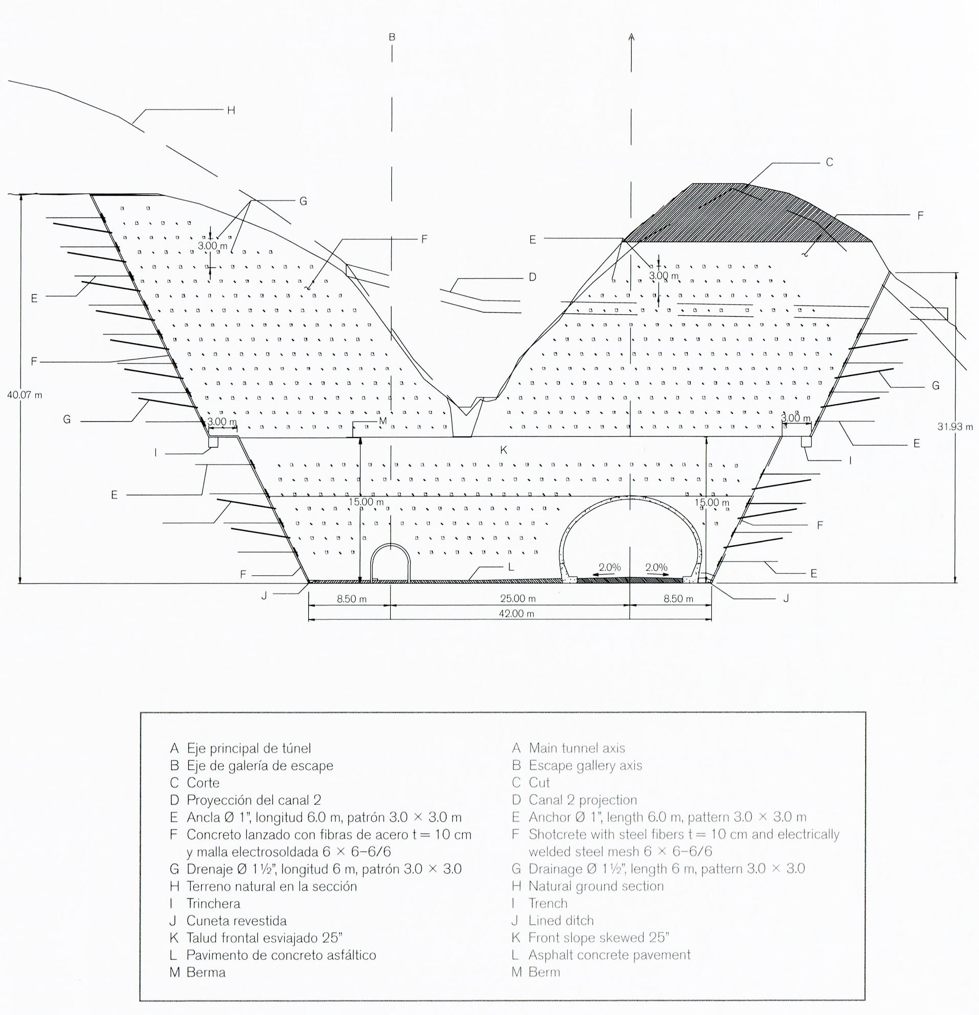
Las entradas del túnel puede ser un punto problema para la estabilidad roca que requiere el uso de anclas. Estos anclajes de fricción y tensión sostener vigas de hormigón corbata que pueden retrasar pobres masas rocosas de calidad.
The tunnel entrances can be a problem spot for rock stability requiring the use of anchors. These friction and tension anchors hold concrete tie beams that can hold back poor quality rock masses. Image by SCT
Image by SCT
Image by SCT
Image by SCT
Image by SCT
Image by SCT
Image by SCT
Image by SCT
Image by SCT
Image by SCT
Image by SCT
Image by Eric Sakowski / HighestBridges.com
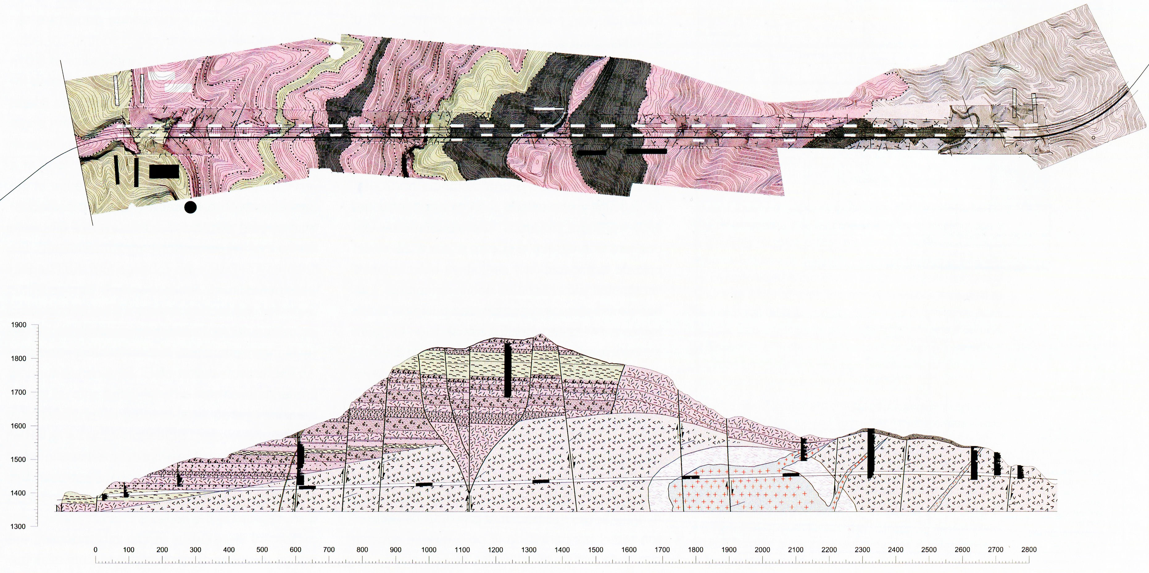
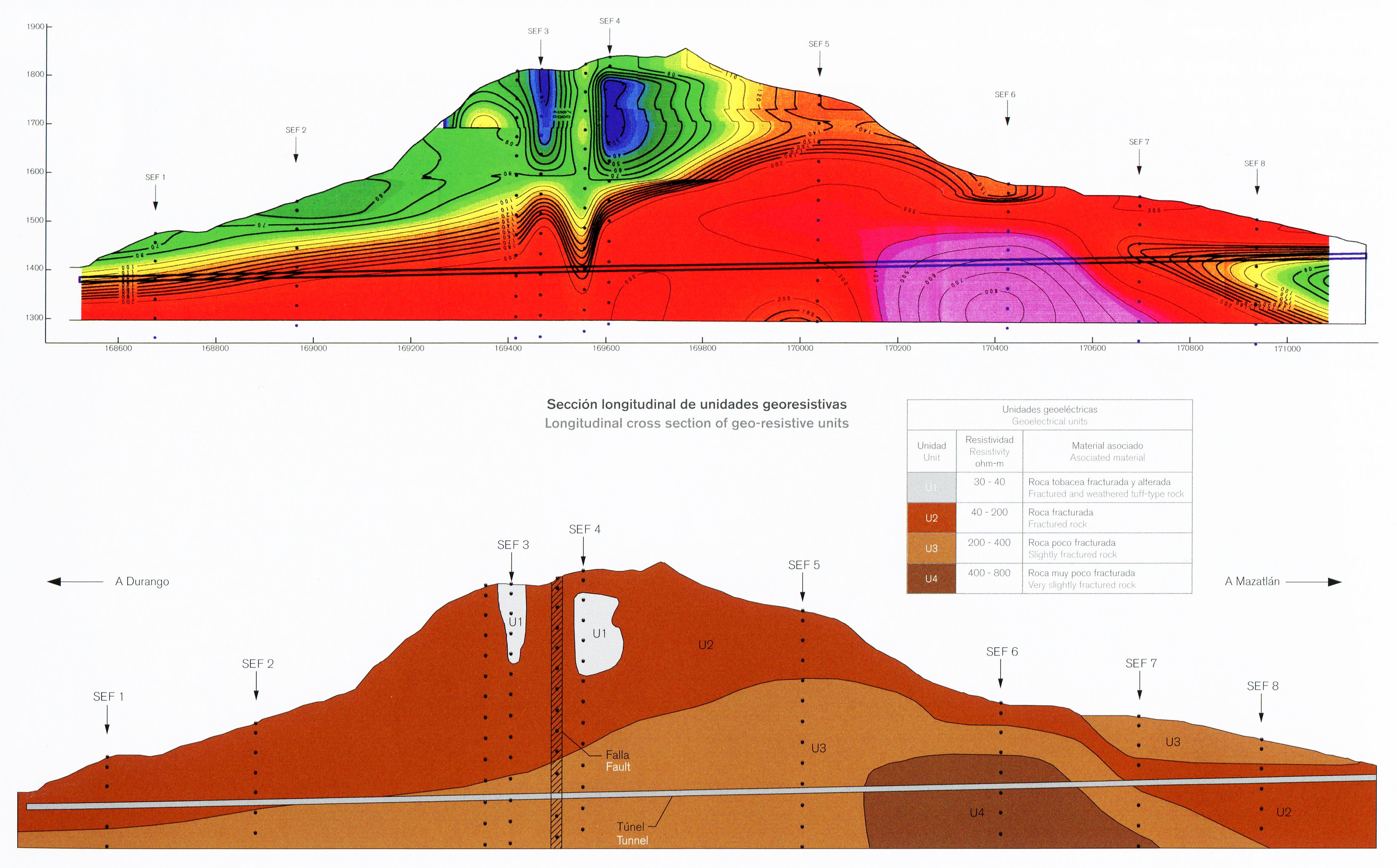
Túnel Sinaloenese sección longitudinal de unidades georesistivas. Image by SCT
Image by SCT
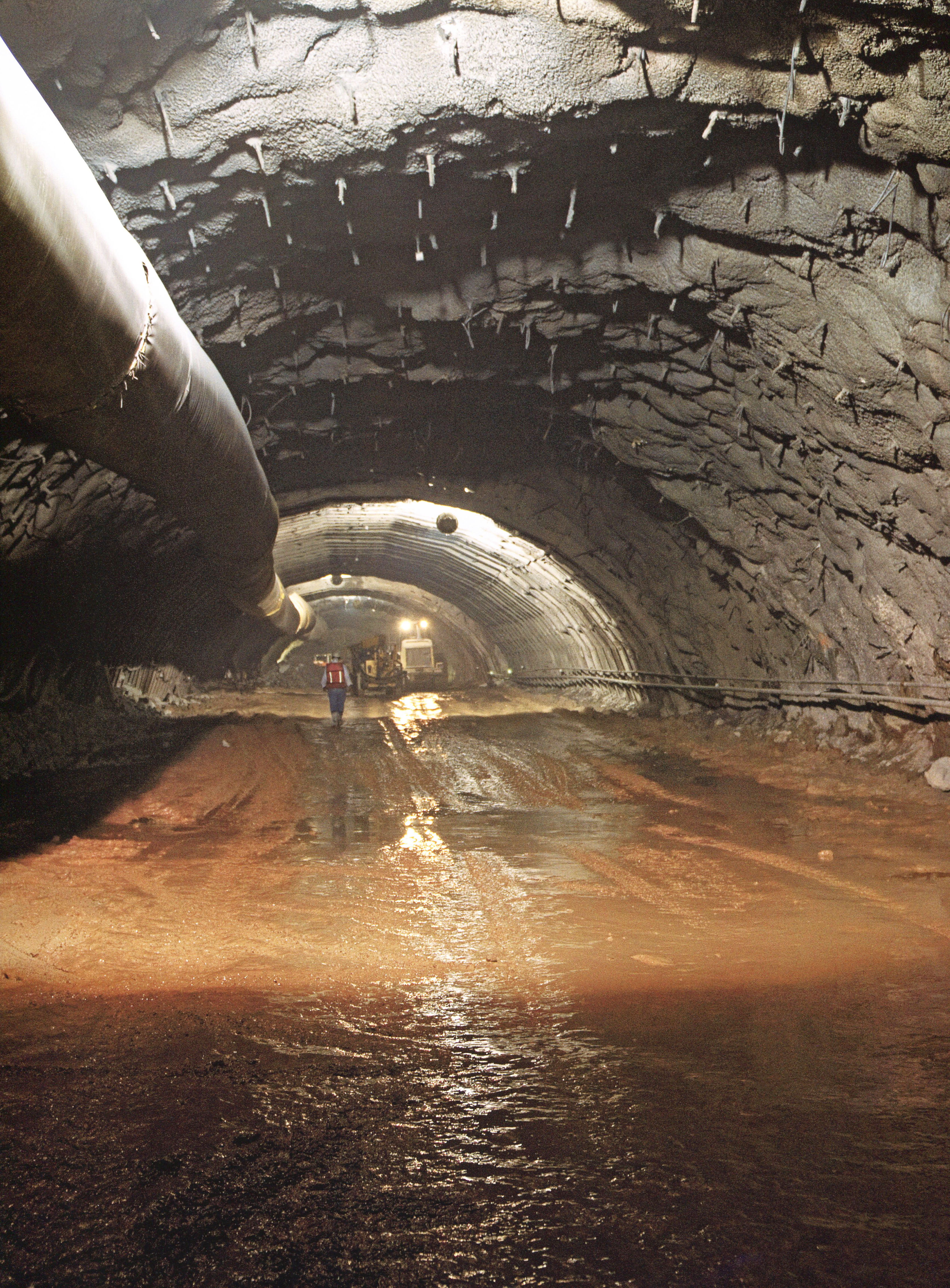
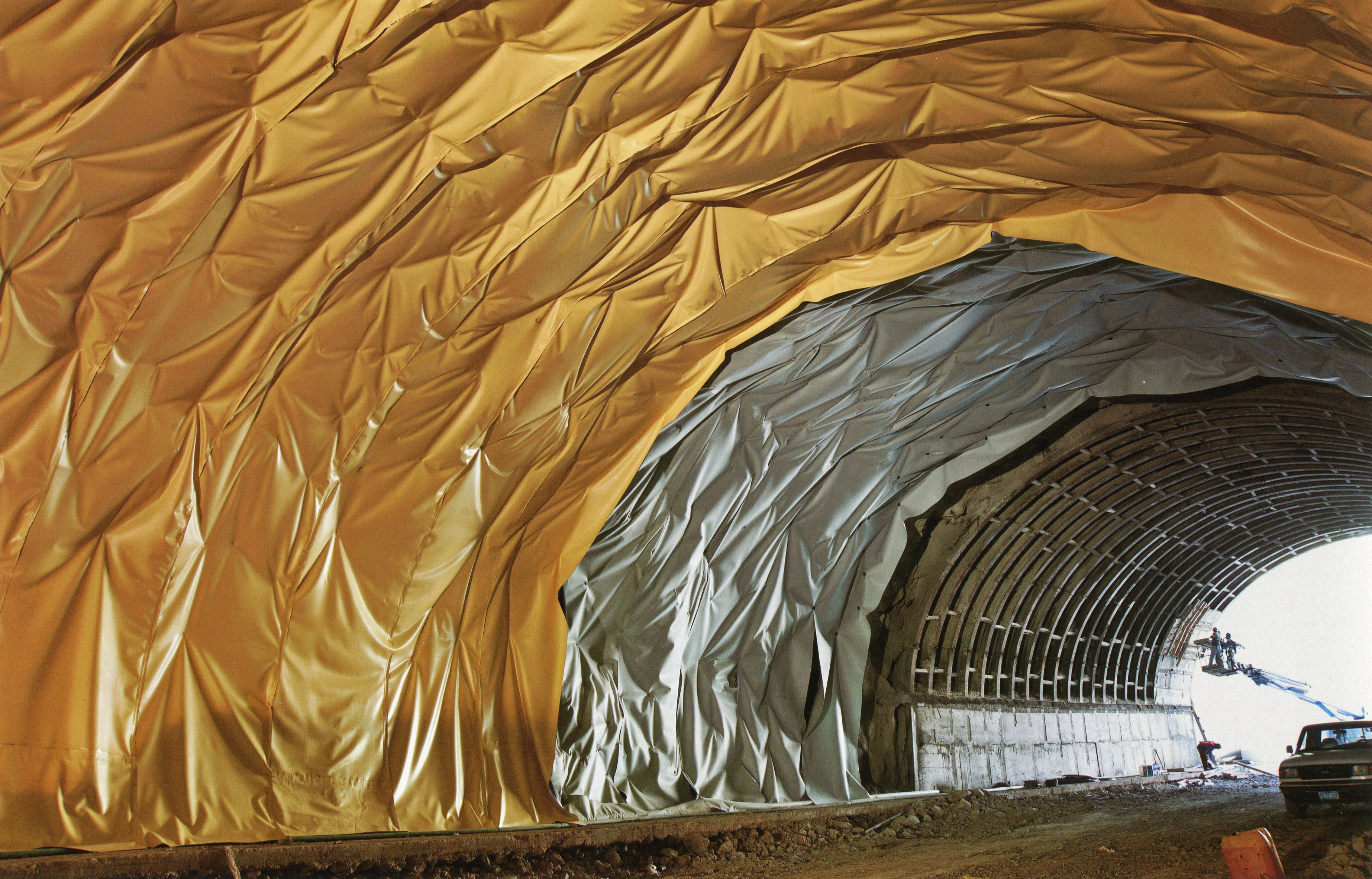
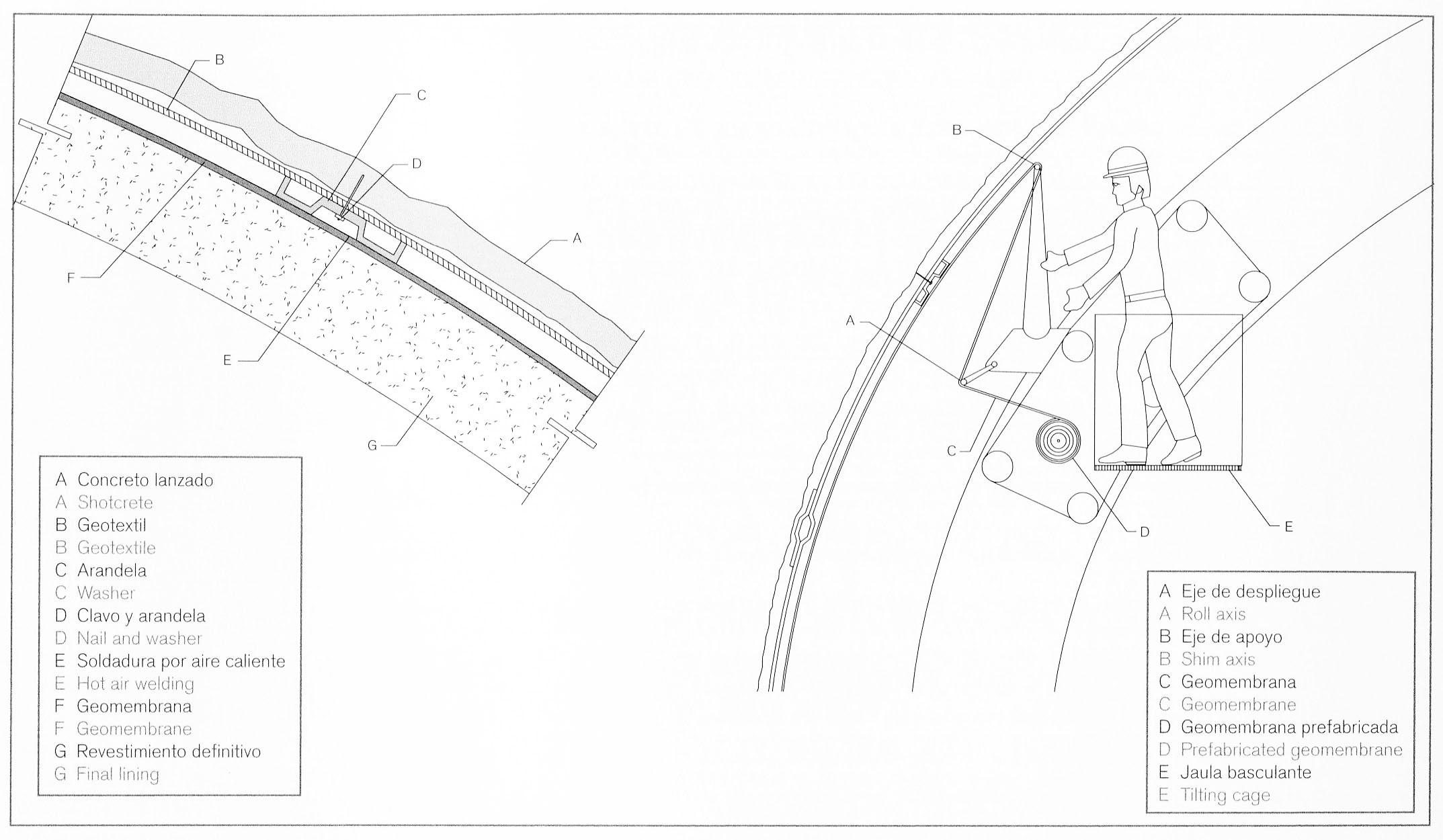
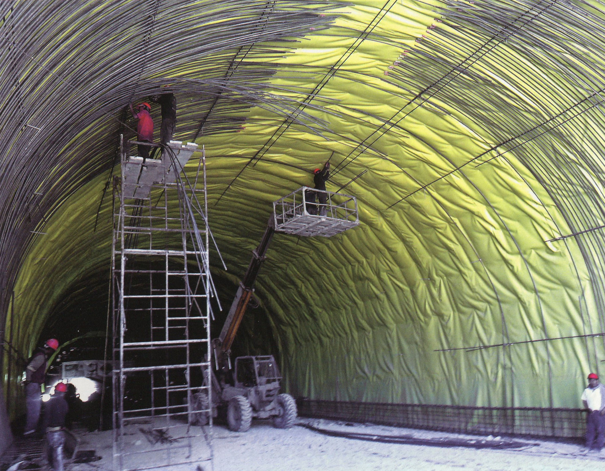
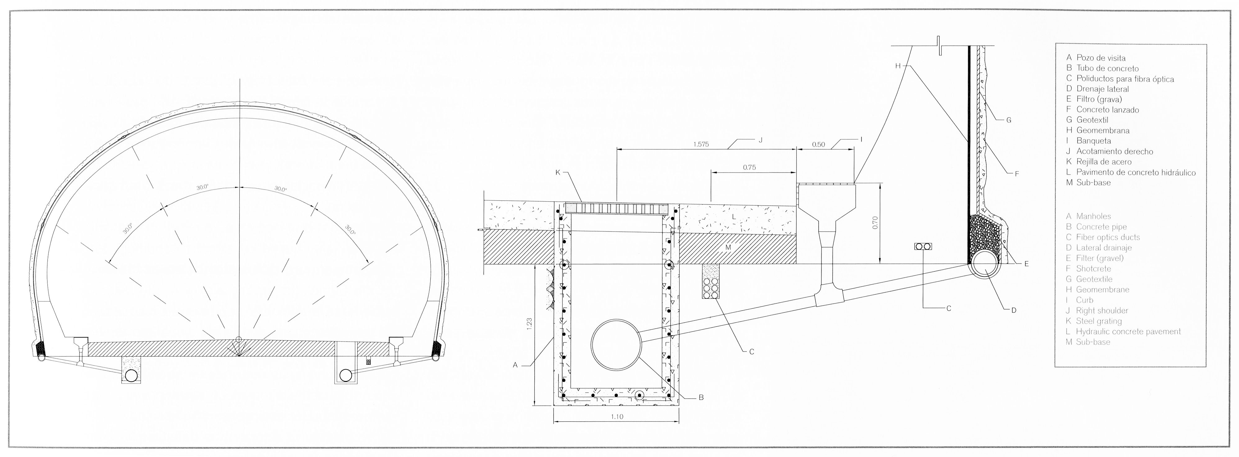
La última capa de revestimiento de un túnel consta de una membrana conocida como geotextil, una tela de poliéster no tejido de fibra. Esta membrana recoge la filtración de agua de la roca y lo transmite a las obras de drenaje en la parte inferior del túnel.
The final layer of tunnel lining consists of a membrane known as geotextile, a non-woven polyester fiber fabric. This membrane collects water seepage from the rock and conveys it to the drainage works at the bottom of the tunnel. Image by SCT
Image by SCT
Image by SCT
Image by SCT
Image by SCT
Image by SCT
Túnel Sinaloenese oeste portal. Image by SCT
Túnel Sinaloenese oeste portal satélite.
Túnel Sinaloenese oeste portal. Image by SCT
Túnel Sinaloenese oeste portal. Image by SCT
Image by SCT
Image by SCT
Image by SCT
Image by SCT
Image by SCT
Túnel Sinaloenese. Image by Eric Sakowski / HighestBridges.com
(Wall and Culvert) en el kilómetro 172. Image by SCT
Puente Chirimoyo y Viaducto Chirimoyo en el kilómetro 174. Dos Puentes cuenta con 5 vanos de 29 + 3 de 38 + 29 metros y 6 vanos de 30 metros. Image by Eric Sakowski / HighestBridges.com
Puentes de kilómetros 175 - 188
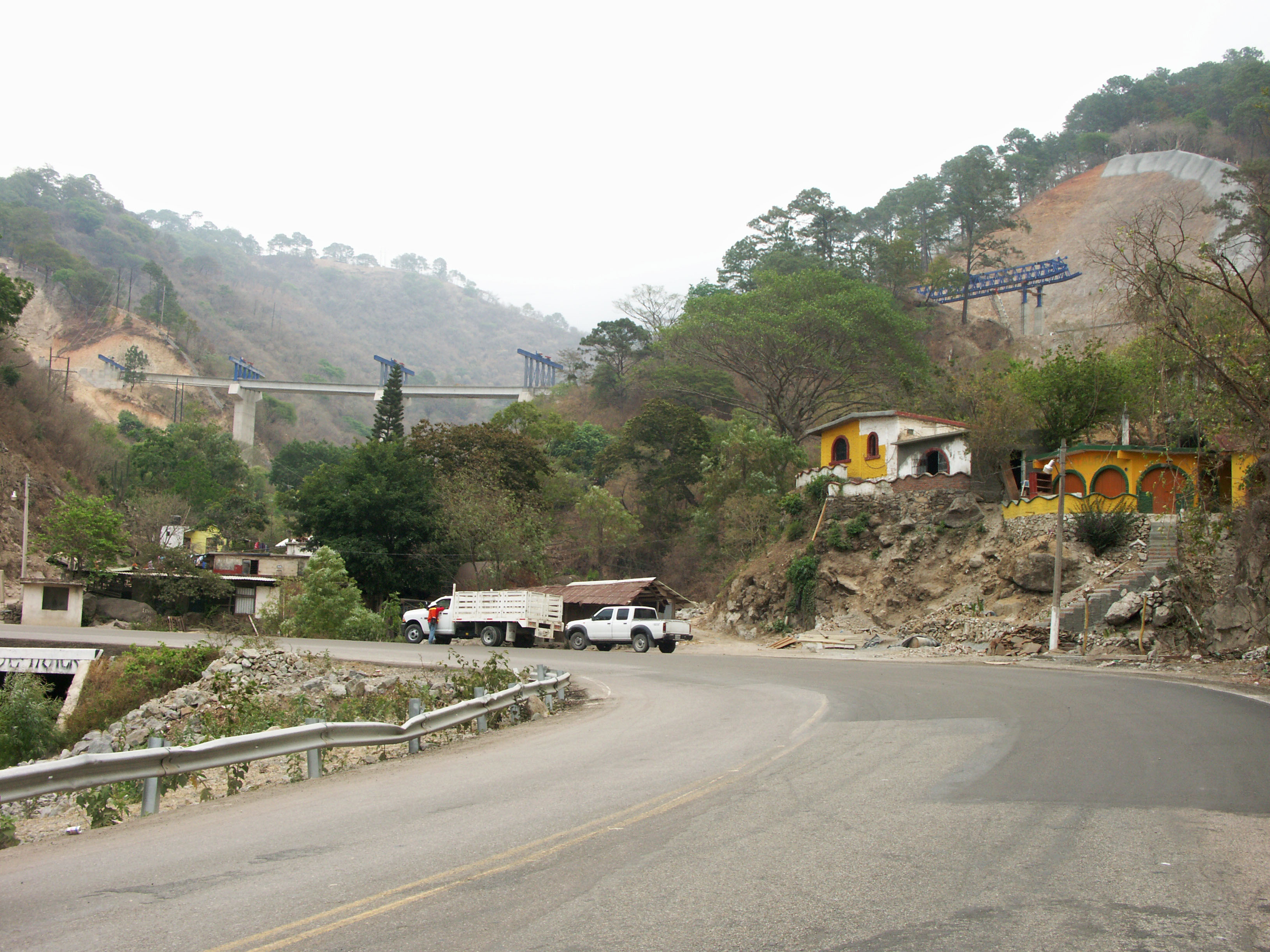
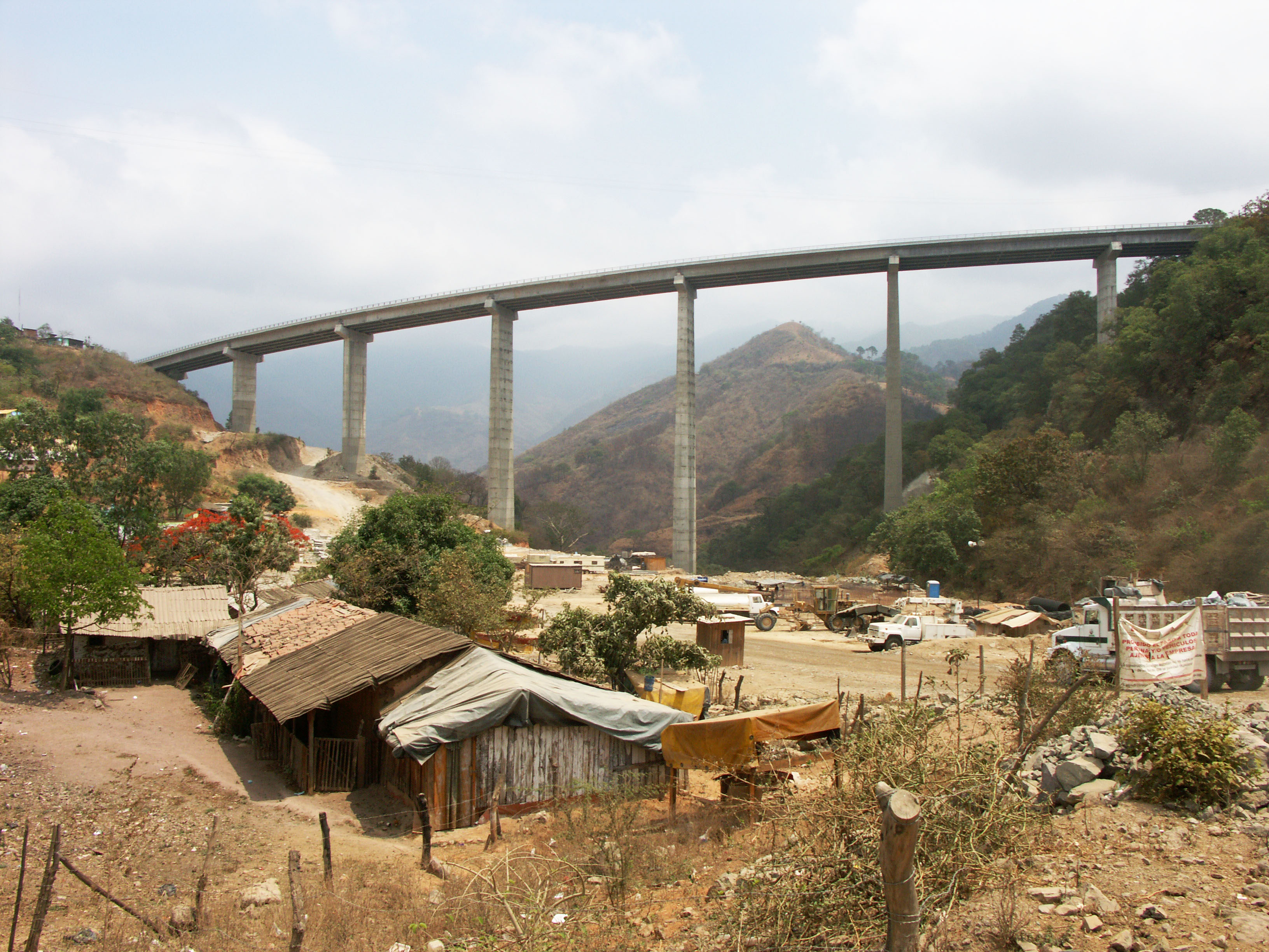
Puente Santa Lucia en el kilómetro 168. Puente de Santa Lucía es el puente más grande y más alta situada al oeste del túnel Sinaloenese. Puente cuenta con 8 vanos de 37.5 + 6 de 50 + 37.5 metros.Image by Eric Sakowski / HighestBridges.com
Image by Eric Sakowski / HighestBridges.com
La carretera es de 95 metros de altura. Image by Eric Sakowski / HighestBridges.com
Puente Santa Lucia satélite.
Image by SCT
Image by SCT
Image by SCT
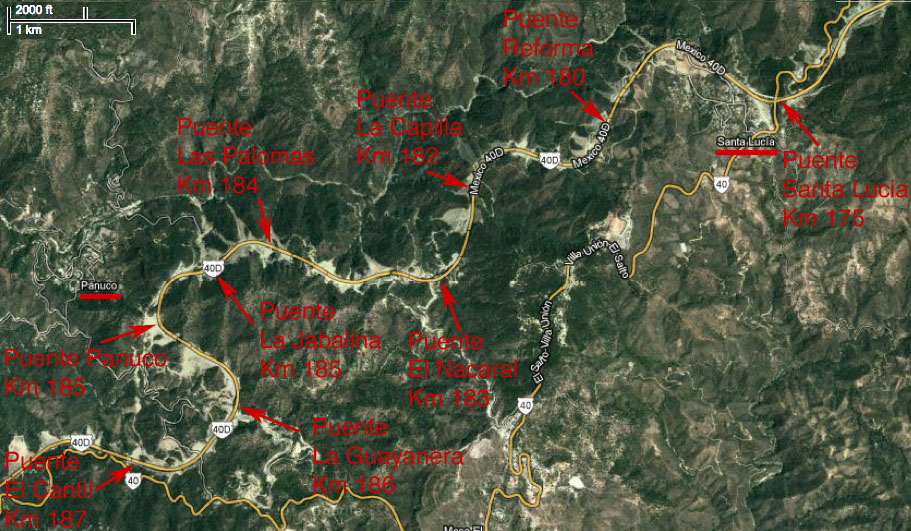
Puente La Reforma en el kilómetro 180. Image by SCT
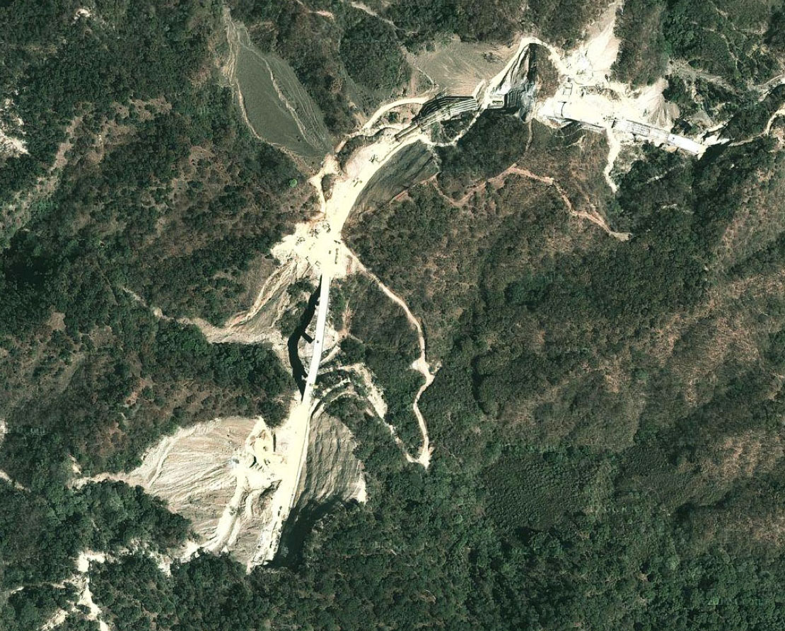
Puente La Capilla satélite.
Puente La Capilla en el kilómetro 182. Puente cuenta con 4 vanos de 37.5 + 2 de 50 + 37.5 metros. Image by Eric Sakowski / HighestBridges.com
Image by Eric Sakowski / HighestBridges.com
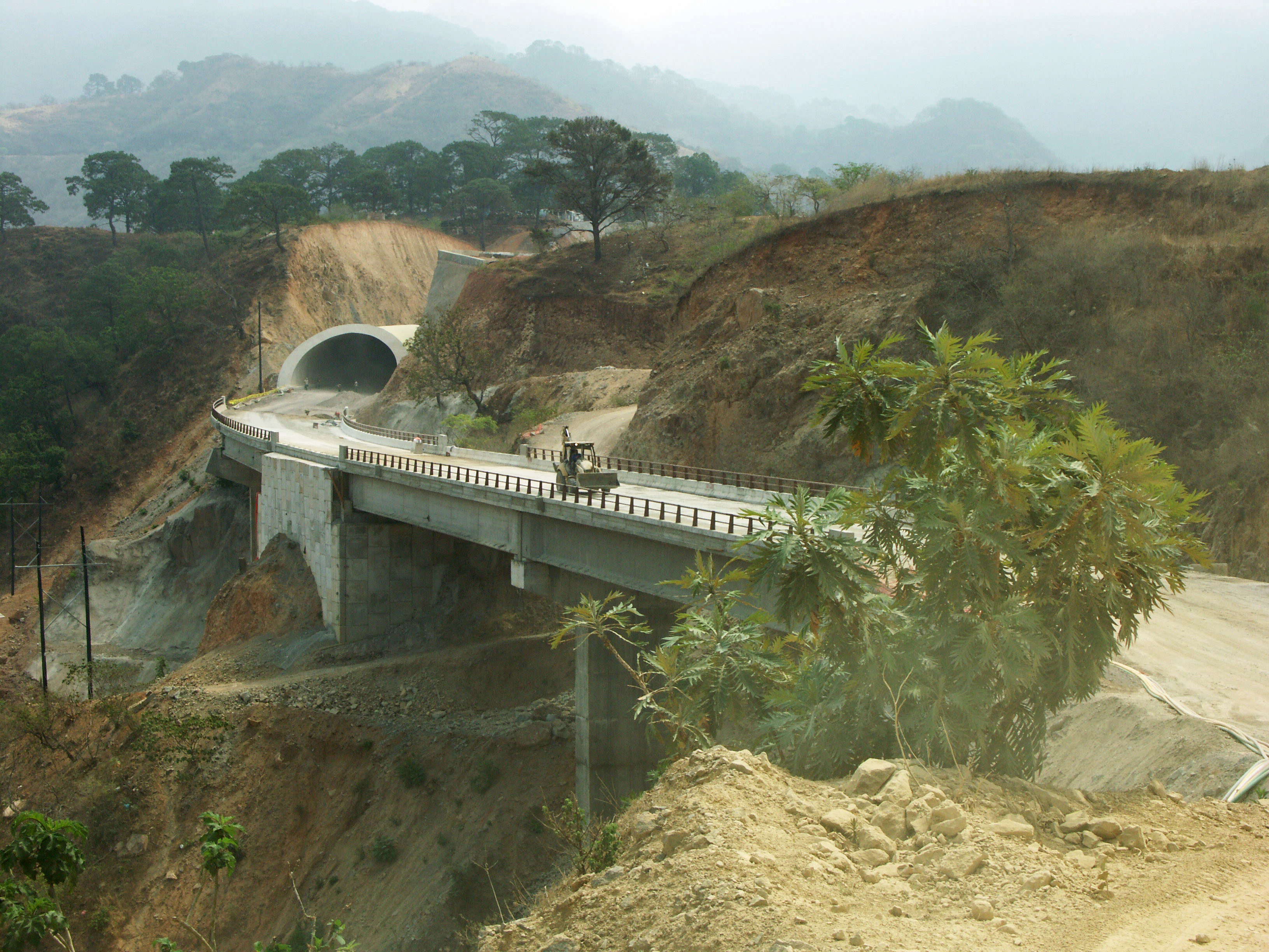
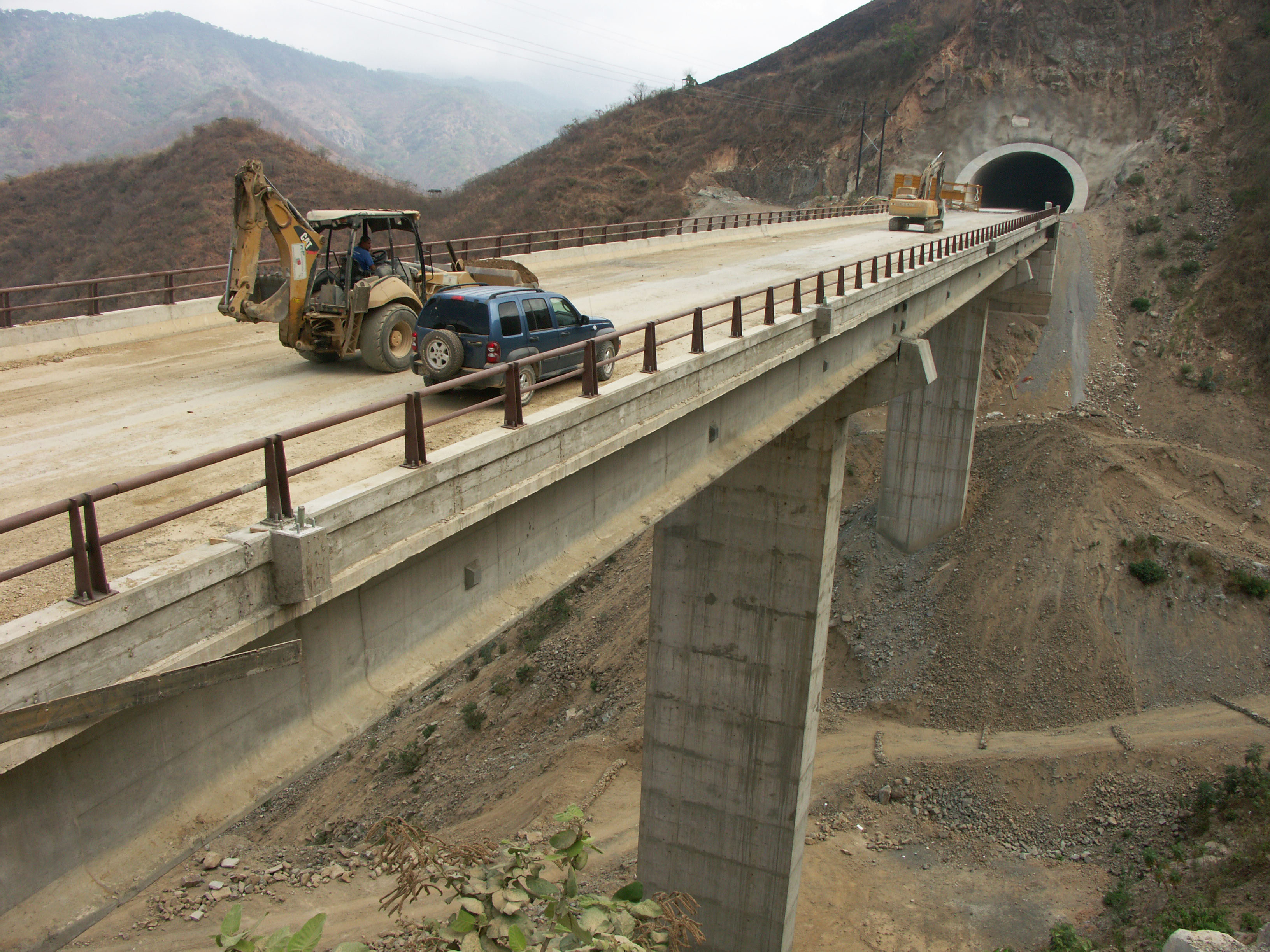
Túnel justo antes de puente El Nacaral. Image by Eric Sakowski / HighestBridges.com
Puente El Nacaral en el kilómetro 183. Puente cuenta con 8 vanos de 37.5 + 6 de 50 + 37.5 metros. Image by Eric Sakowski / HighestBridges.com
Image by SCT
Puente El Nacaral construcción. Image by Eric Sakowski / HighestBridges.com
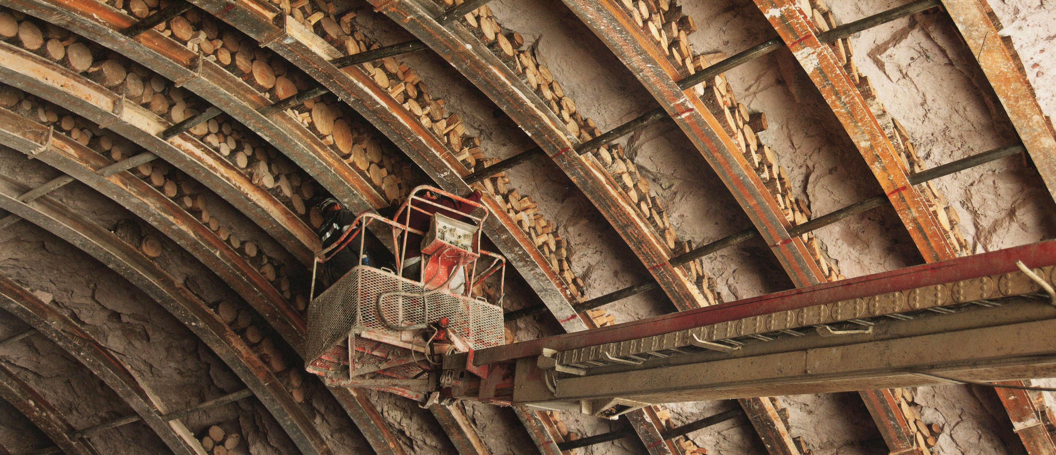
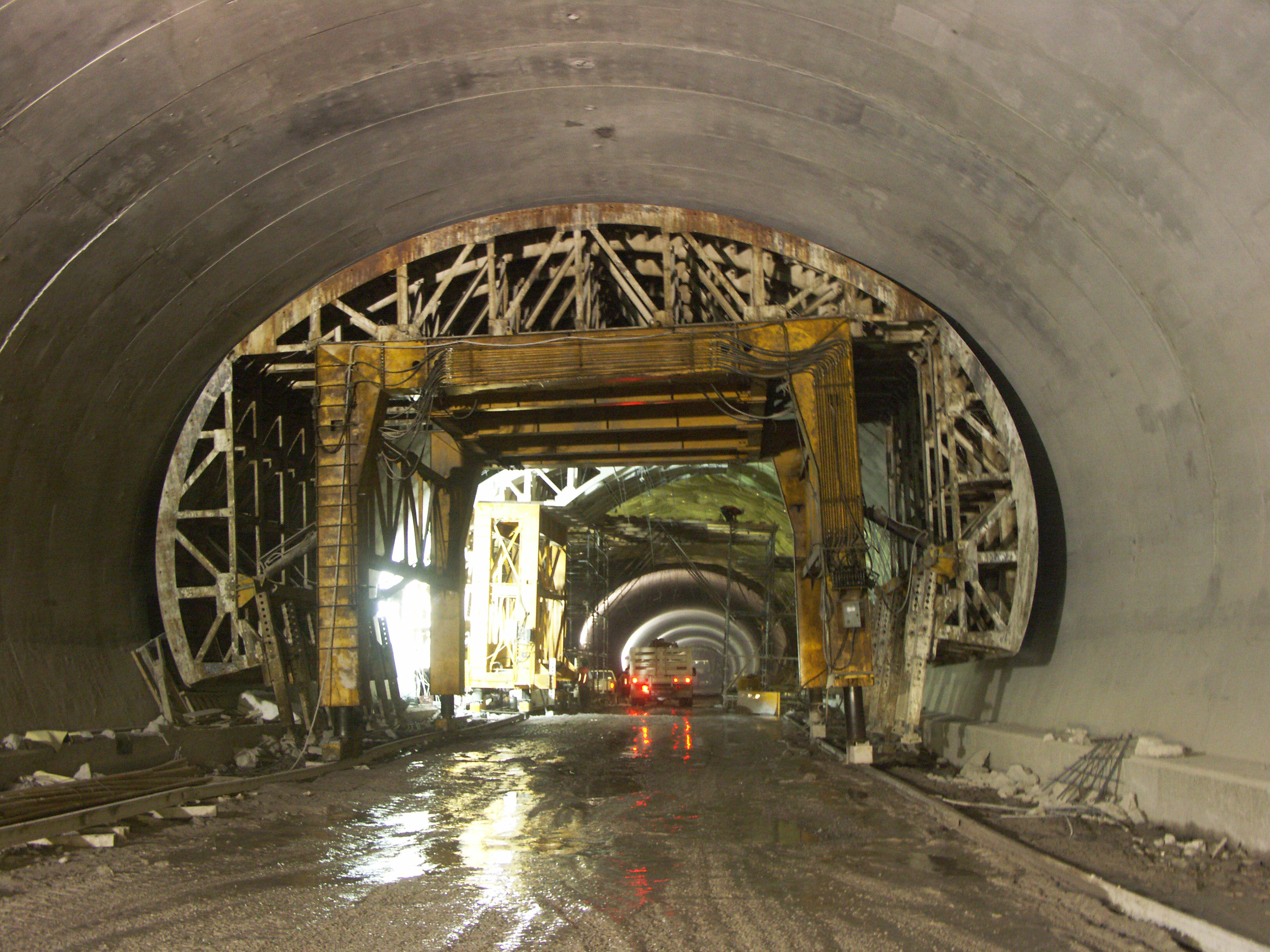
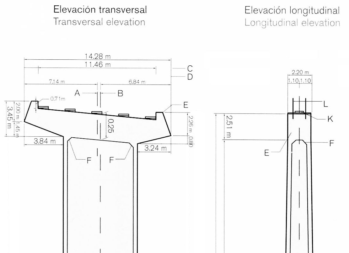
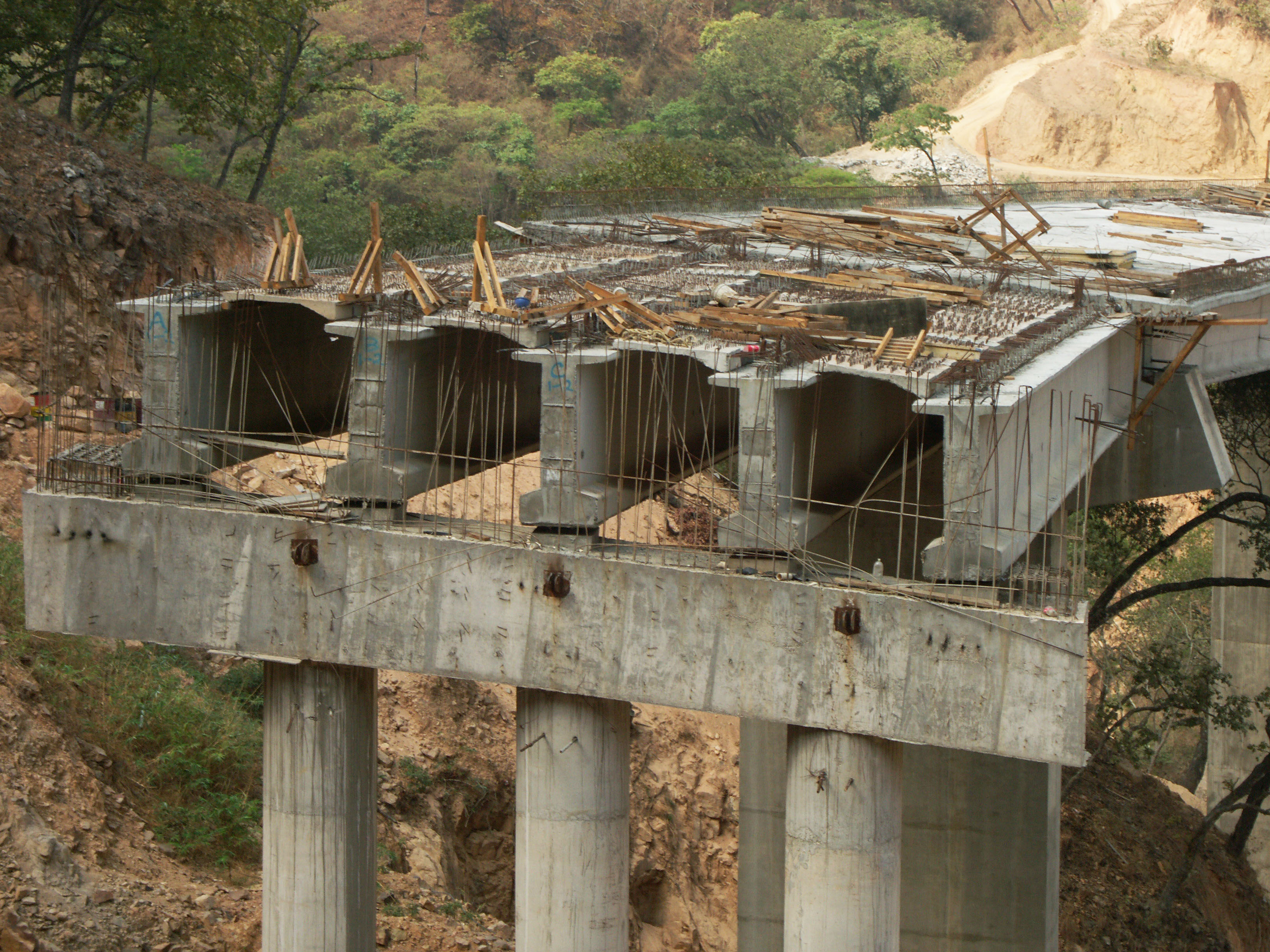
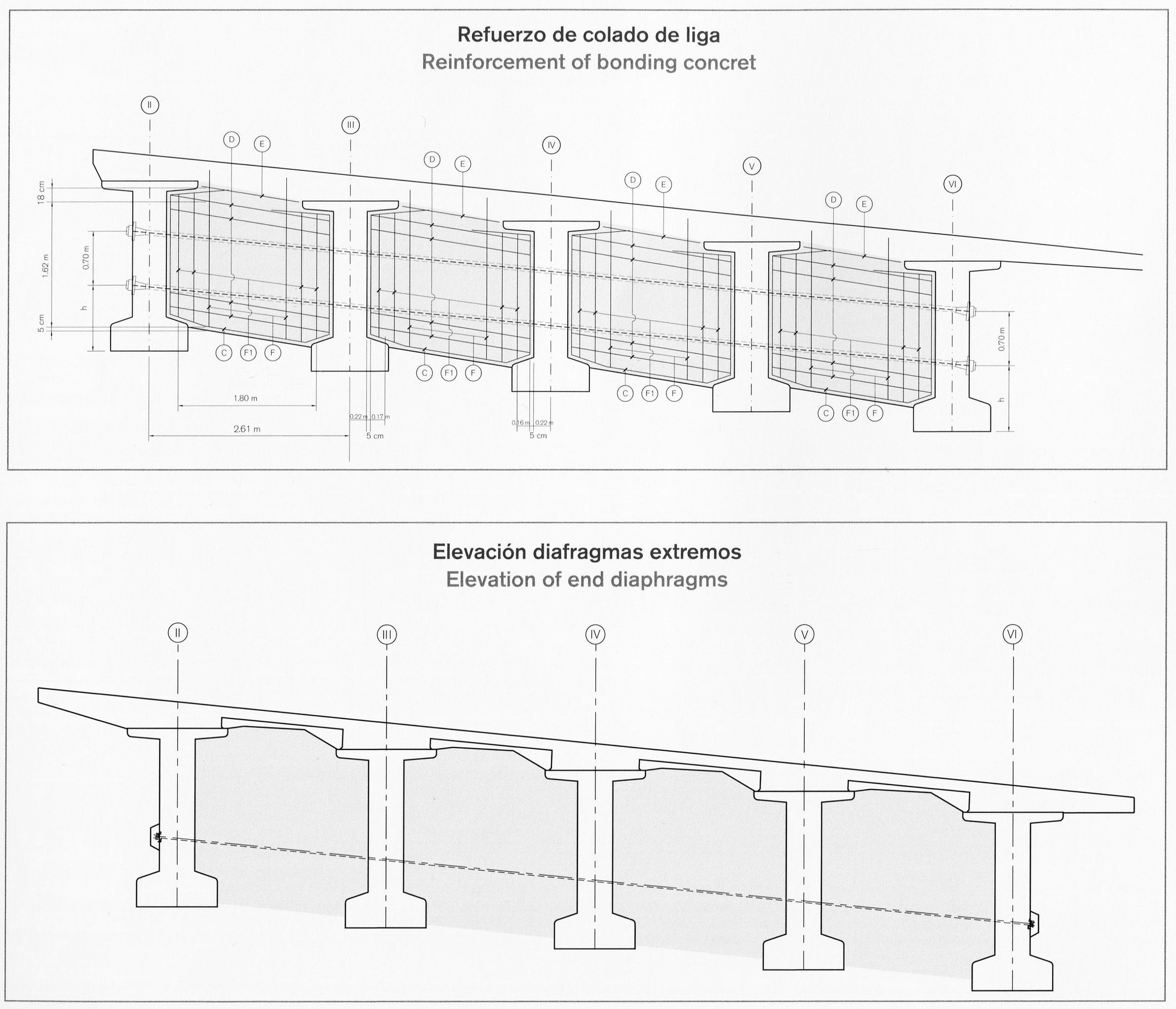
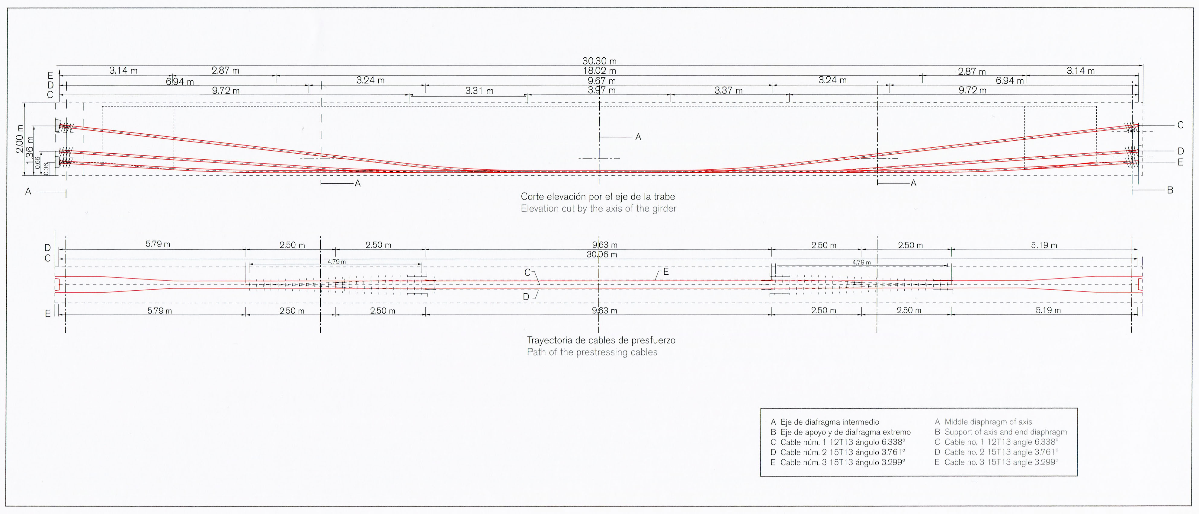
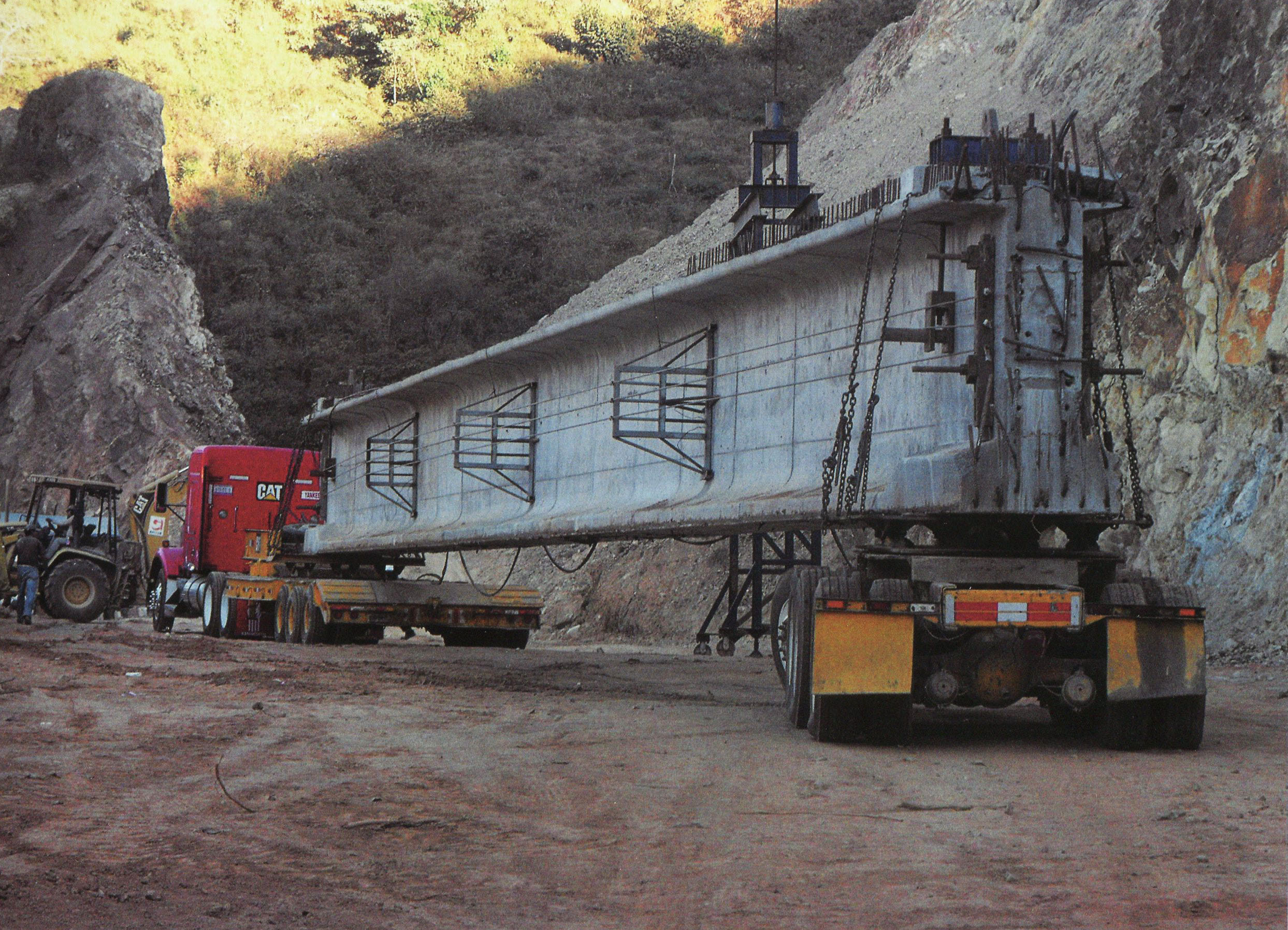
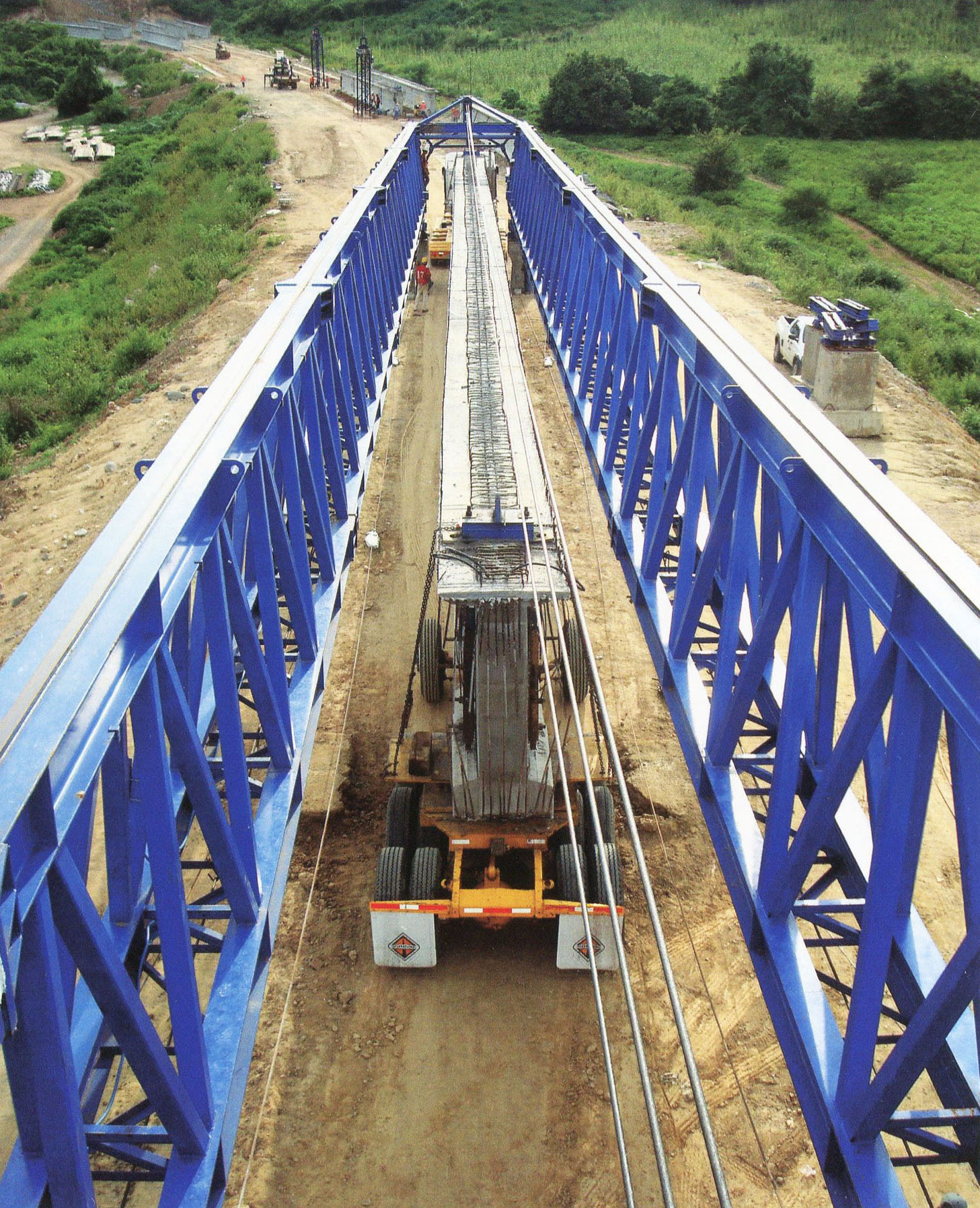
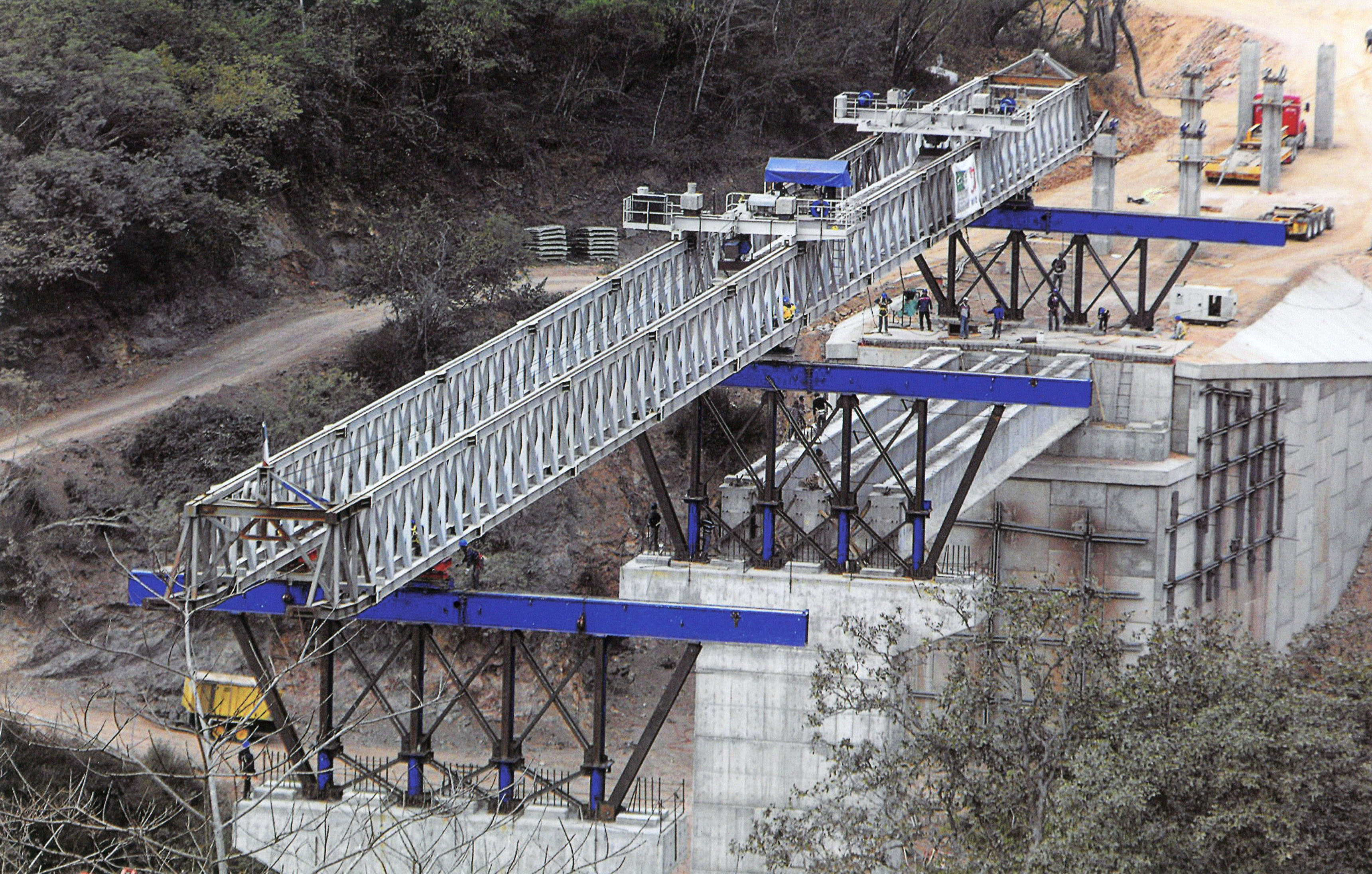
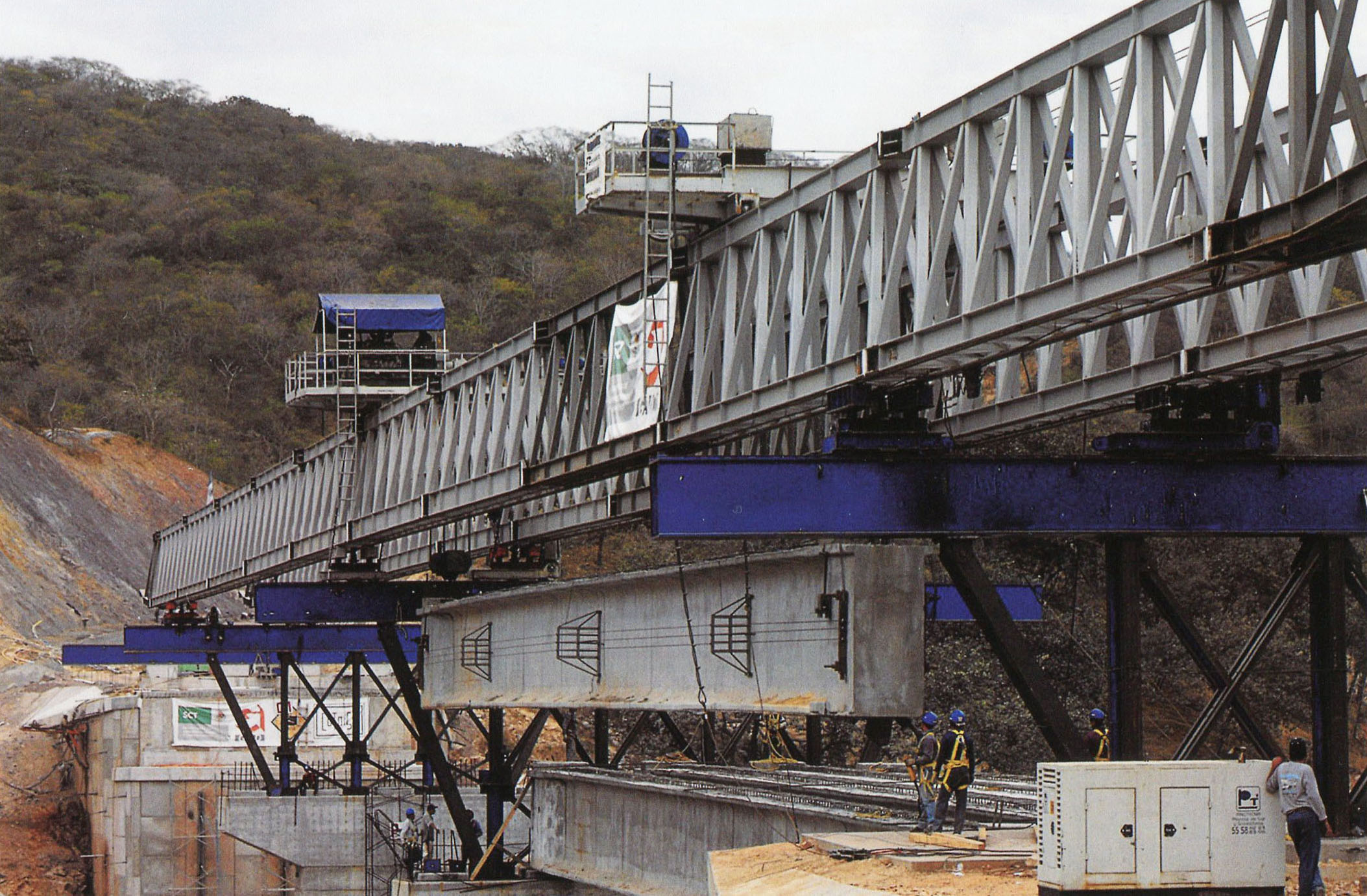
La estandarización de muchos de los puentes que se produjo mediante el uso de vigas de Nebraska estilo entre la longitud de 35 y 55 metros de longitud. Una serie de puentes que fueron diseñados originalmente como palmos voladizos dobles fueron rediseñados como viga Nebraska abarca permitiendo la reutilización de encofrados que salvó el equivalente aproximado del 15% del coste total de cada estructura. Los túneles eran también estandarizado con una altura de la corona común de 11,7 metros que permitieron a los encofrados mismos para ser reutilizado en cualquiera de los túneles 61.
The standardization of many of the bridges came about by using Nebraska style girders between the length of 35 and 55 meters in length. A number of bridges that were originally designed as double cantilever spans were redesigned as Nebraska girder spans allowing the reuse of formworks that saved the approximate equivalent of 15% of the total cost of each structure. The tunnels were also standardized with a common crown height of 11.7 meters which allowed the same formworks to be reused on any of the 61 tunnels. Image by SCT
Image by SCT
Image by SCT
Image by SCT
Image by SCT
Image by SCT
Image by SCT
Image by SCT
Image by Eric Sakowski / HighestBridges.com
Puente El Nacaral satélite.
Puente Las Palomas en el kilómetro 184. Puente cuenta con 3 vanos de 37.5 + 50 + 37.5 metros. Image by Eric Sakowski / HighestBridges.com
Puente Las Palomas satélite.
Puente Jabalina en el kilómetro 185. Puente cuenta con 5 vanos de 37.5 + 3 de 50 + 37.5 metros. Image by Eric Sakowski / HighestBridges.com
Image by Eric Sakowski / HighestBridges.com
Puente Jabalina satélite.
Puente Panuco en el kilómetro 185. Puente cuenta con 5 vanos de 37.5 + 3 de 42 + 37.5 metros.Image by Eric Sakowski / HighestBridges.com
Puente Panuco pilas. Image by Eric Sakowski / HighestBridges.com
Puente Panuco satélite.
Puente La Guayanera. Puente cuenta con 3 vanos de 50.72 + 51.37 + 50.72 metros. Image by Eric Sakowski / HighestBridges.com
Puente La Guayanera satélite.
Túnel Las Charcas y Palomas en el kilómetro 189 y 190. Image by SCT
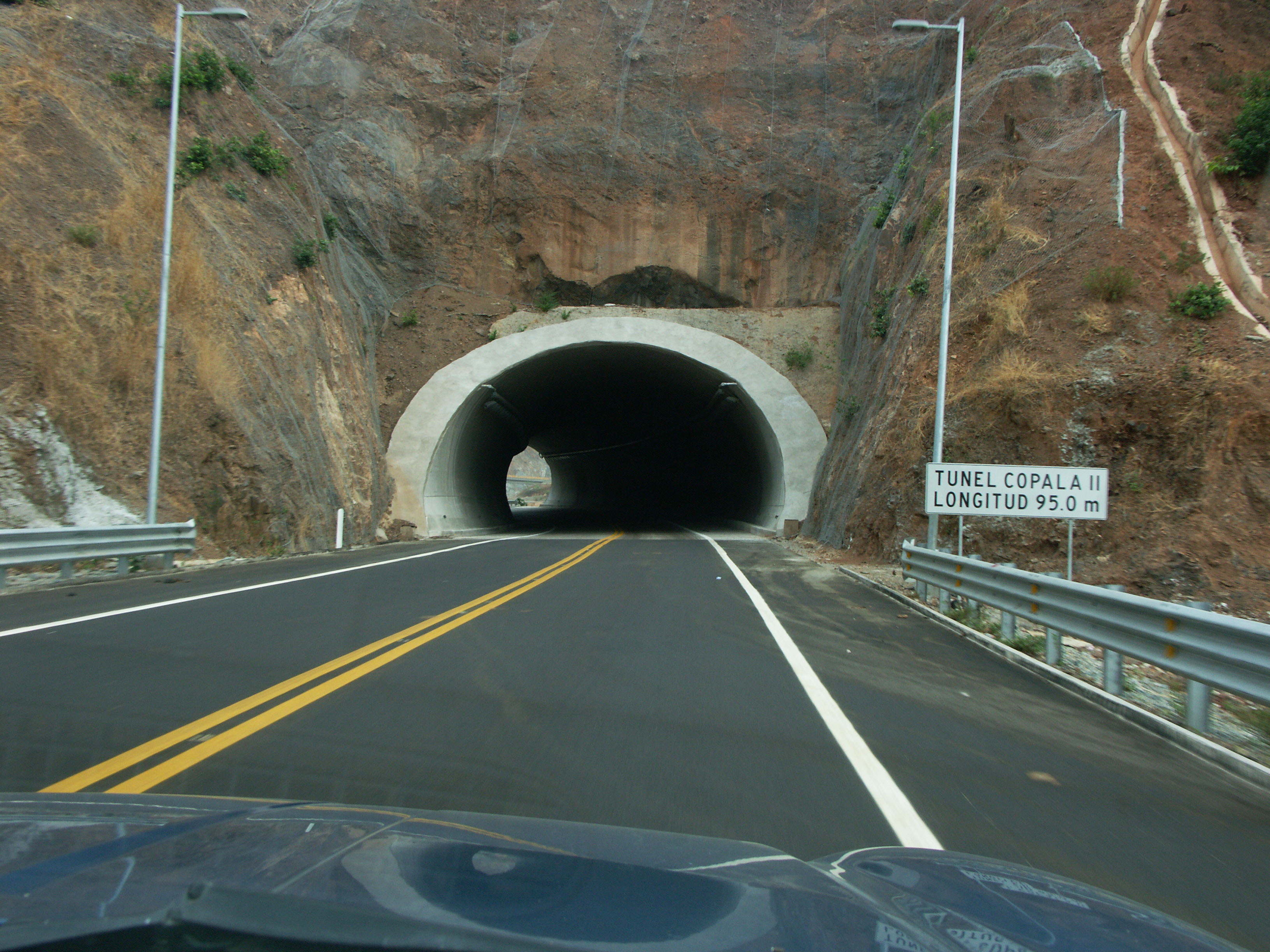
Túnel Copala II en el kilómetro 192. Image by Eric Sakowski / HighestBridges.com
Puente Sin Nombre en el kilómetro 196. Puente cuenta con 3 vanos de 42 + 50 + 42 metros. Image by SCT
Puente Sin Nombre en el kilómetro 201. Puente cuenta con 3 vanos de 40.65 + 51.3 + 40.65 metros. Image by SCT
Puente Sin Nombre en el kilómetro 203. Puente cuenta con 9 vanos de 10.34 + 22.68 + 10.34 + 29.24 + 3 de 30 + 29.58 + 7.88 metros. Image by SCT
Image by SCT
Image by SCT
Felicitaciones a las empresas involucradas en la construcción de la carretera!
