File:MubanheLocationMap.jpg
From HighestBridges.com
Jump to navigationJump to search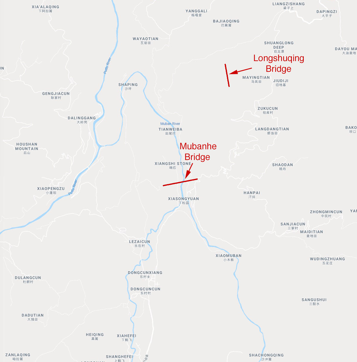
Size of this preview: 592 × 599 pixels. Other resolutions: 237 × 240 pixels | 1,200 × 1,215 pixels.
Original file (1,200 × 1,215 pixels, file size: 156 KB, MIME type: image/jpeg)
Mubanhe Bridge location map.
File history
Click on a date/time to view the file as it appeared at that time.
| Date/Time | Thumbnail | Dimensions | User | Comment | |
|---|---|---|---|---|---|
| current | 21:12, 15 July 2021 | | 1,200 × 1,215 (156 KB) | Sakowski (talk | contribs) | Mubanhe Bridge location map. |
You cannot overwrite this file.
File usage
The following 2 pages use this file: