Difference between revisions of "Kita-Bisan Seto Bridge"
(Created page with "<div style="font-size: 25px; text-align: center;"> Kita-Bisan Seto Bridge<br /> 北備讃瀬戸大橋<br /> Yoshima Island, Kagawa, Japan<br /> 305 feet high / 93 meters high<br ...") |
|||
| Line 21: | Line 21: | ||
| − | [[File: | + | [[File:Kita-BisanSetoElevation北備讃瀬戸大橋.png|900px|center]] |
| − | |||
| − | |||
| − | |||
Latest revision as of 04:09, 9 September 2020
Kita-Bisan Seto Bridge
北備讃瀬戸大橋
Yoshima Island, Kagawa, Japan
305 feet high / 93 meters high
3,248 foot span / 990 meter span
1988
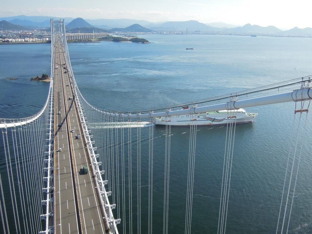
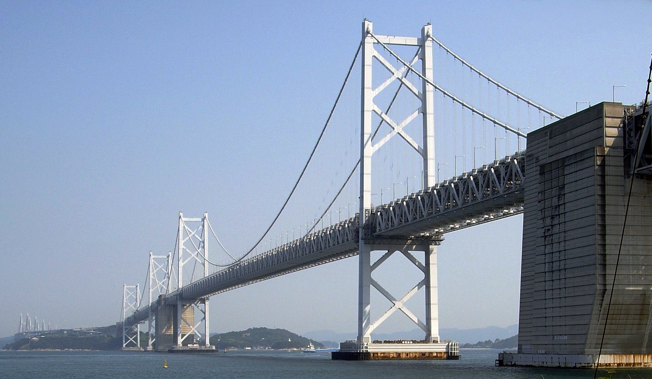
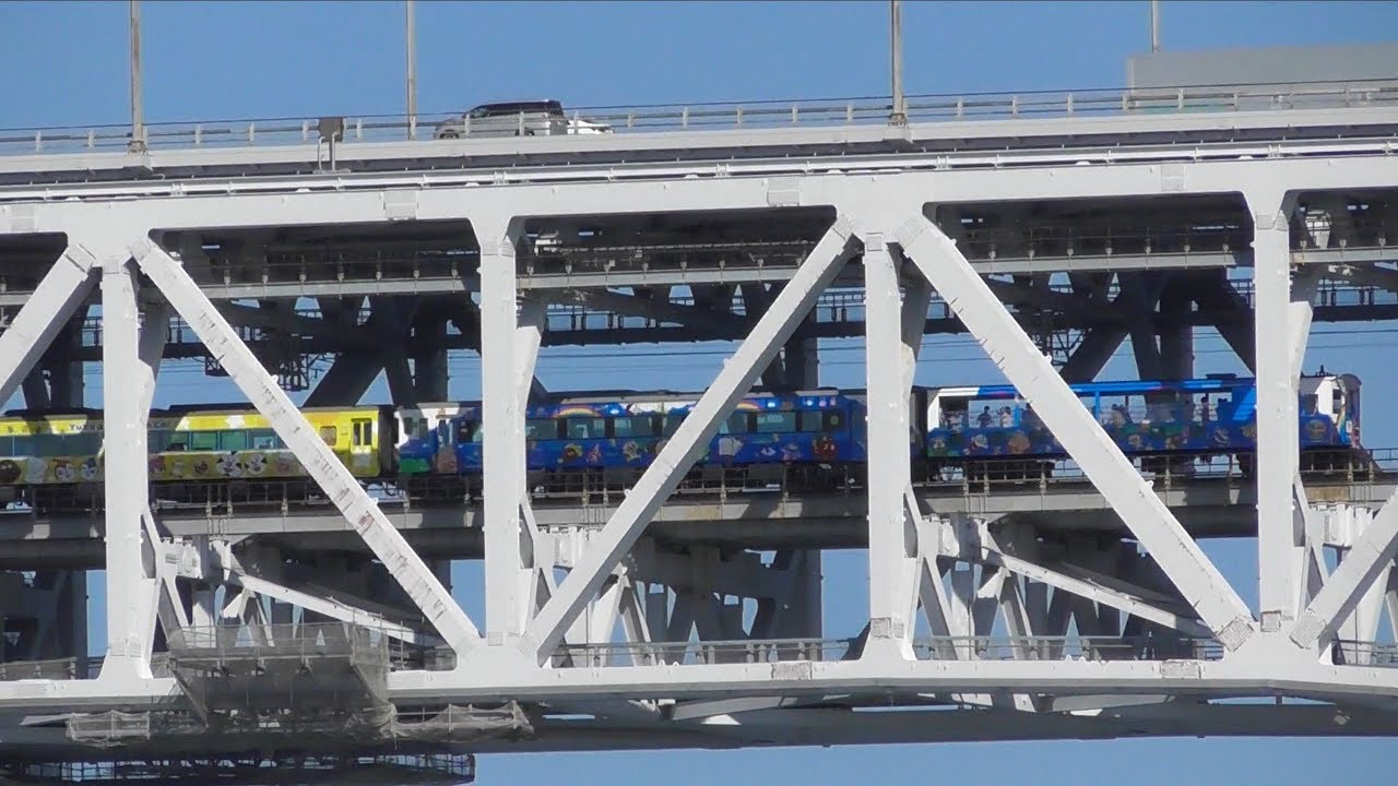
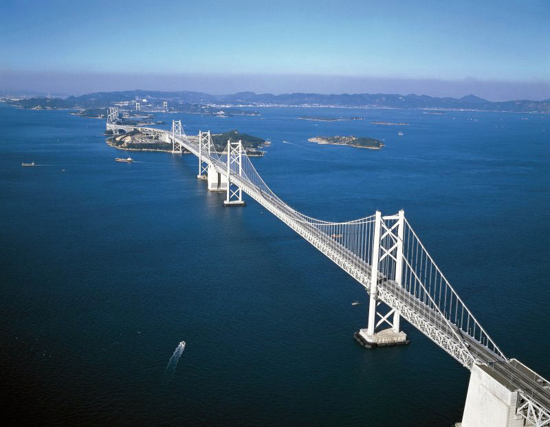
The Kita-Bisan Seto Bridge is part of the Great Seto Bridge Project that connects Honshū and Shikoku Islands across the Seto Inland Sea. The 13 kilometer long bridge system consists of a 4-lane expressway and a double railway line.
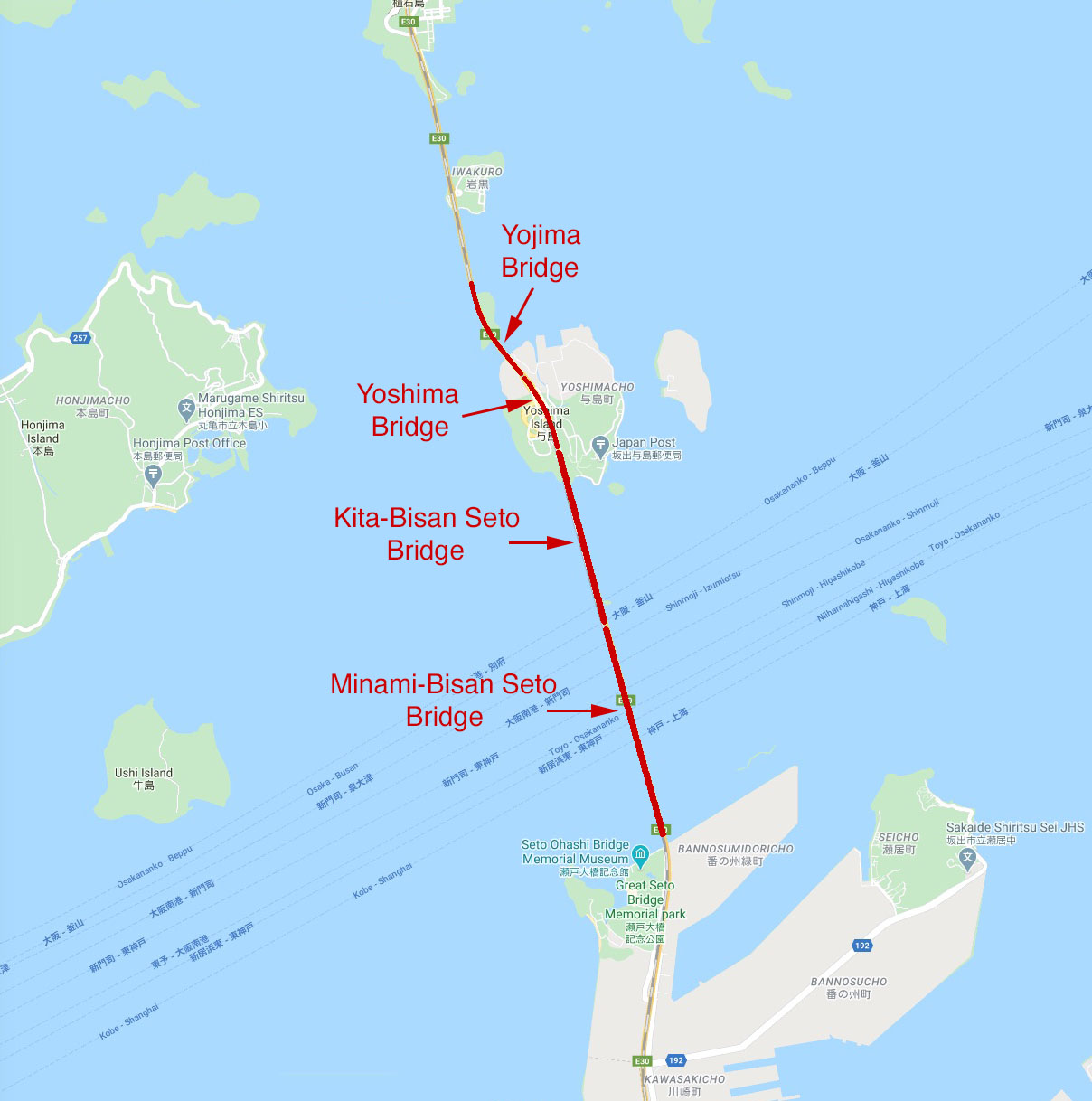
The southern section of the Seto Bridge Project consists of a continuous elevation rise across 4 bridges including the Yojima, Yoshima, Kita-Bisan Seto and Minami-Bisan Seto crossings.
The Kita-Bisan Seto Bridge is one of the world's longest span double deck suspension bridges with a main span of 990 meters. The tallest tower is 184 meters.
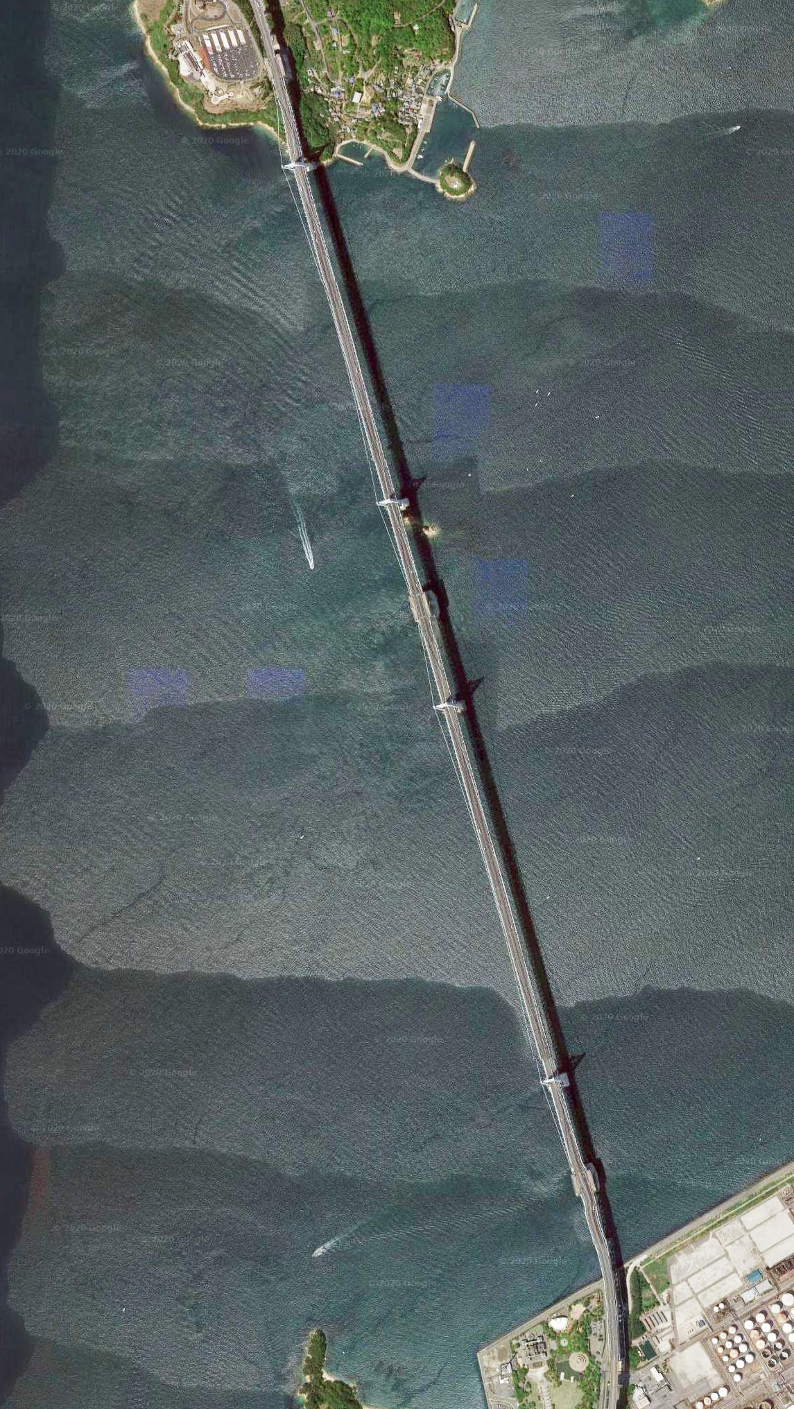
Kita-Bisan Seto Bridge satellite image.
Kita-Bisan Seto Bridge location map.
