Difference between revisions of "Pangnazi Bridge"
(Created page with "<div style="font-size: 25px; text-align: center;"> Pangnazi Bridge<br /> 庞纳子大桥<br /> Hotan, Xinjiang, China<br /> 585 feet high / 178 meters high<br /> 328 foot span...") |
|||
| (5 intermediate revisions by the same user not shown) | |||
| Line 6: | Line 6: | ||
328 foot span / 100 meter span<br /> | 328 foot span / 100 meter span<br /> | ||
2023<br /> | 2023<br /> | ||
| − | [[File: | + | [[File:PangnaziCanyon.jpg|750px|center]] |
</div> | </div> | ||
| − | Pangnazi Bridge is the highest beam bridge located in the far west of China. | + | Pangnazi Bridge is the highest beam bridge located in the far west of China. Situated in the mountains south of Hotan city, the 2-lane structure is part of a reconstruction of route G580 that includes plans for a giant dam that will leave the deck of the Pangnazi Bridge just 20 meters above the surface of a reservoir. |
| − | The two main spans of 100 meters | + | The two main spans of 100 meters are supported by a pier 169.4 meters tall. The structure crosses the Karakash or Karakax River also known as the Black Jade River that extends for 460 miles from the Himalayas to the Hotan desert basin. |
| − | [[File: | + | [[File:PangnaziPiers.jpg|750px|center]] |
| − | [[File: | + | [[File:PangnaziBlueSky2.jpg|750px|center]] |
| − | [[File: | + | [[File:PangnaziBlueSky.jpg|550px|center]] |
| − | [[File: | + | [[File:PangnaziShaft.jpg|500px|center]] |
| − | [[File: | + | [[File:PangnaziPierBottom.jpg|500px|center]] |
| − | [[File: | + | [[File:PangnaziConcrete.jpg|500px|center]] |
| − | [[File: | + | [[File:PangnaziSwitchbacks.jpg|750px|center]] |
| − | [[File: | + | [[File:PangnaziElevation.jpg|750px|center]] |
| − | [[File: | + | [[File:PangnaziFoundation.jpg|750px|center]] |
| − | [[File: | + | [[File:PangnaziSatelliteClose.jpg|750px|center]] |
| + | Pangnazi Bridge satellite image. | ||
| − | [[File: | + | [[File:PangnaziSatellite.jpg|750px|center]] |
| − | |||
| − | [[File: | + | [[File:PangnaziLocationMap.jpg|750px|center]] |
| + | Pangnazi Bridge location map. | ||
| − | [[File: | + | [[File:PangnaziLocationMapWide.jpg|750px|center]] |
| − | |||
| − | [[File: | + | [[File:PangnaziLocationMapWidest.jpg|750px|center]] |
| − | [[File: | + | [[File:G580Map.jpg|750px|center]] |
| − | [[File: | + | [[File:G580Topo.jpg|750px|center]] |
| − | [[File: | + | [[File:Karakax Hotan-River-Basin.jpg|650px|center]] |
[[Category:Bridges in China]] | [[Category:Bridges in China]] | ||
Latest revision as of 21:02, 21 June 2023
Pangnazi Bridge
庞纳子大桥
Hotan, Xinjiang, China
585 feet high / 178 meters high
328 foot span / 100 meter span
2023
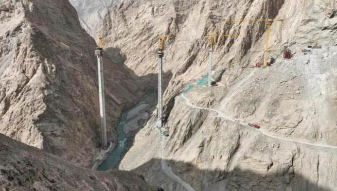
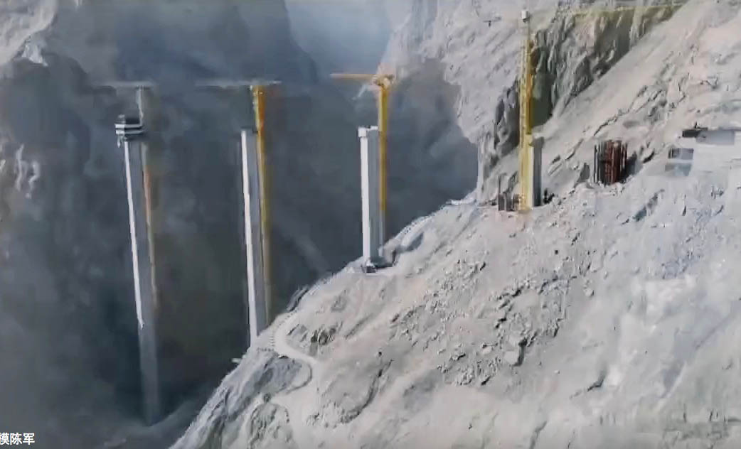
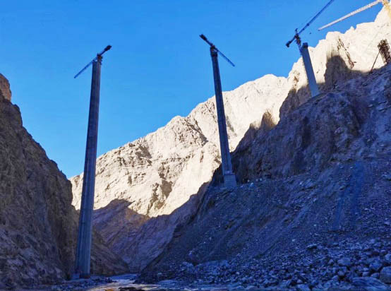
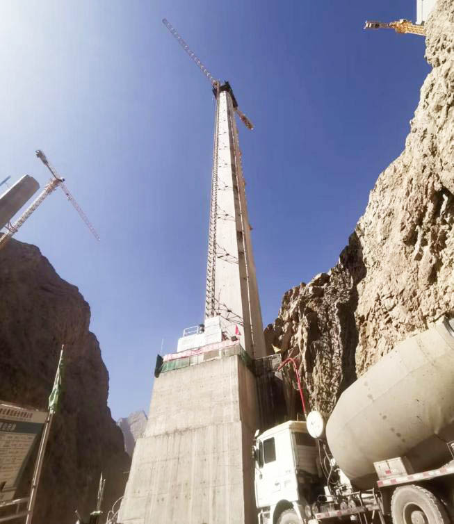
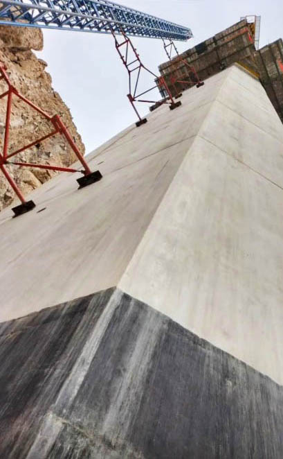
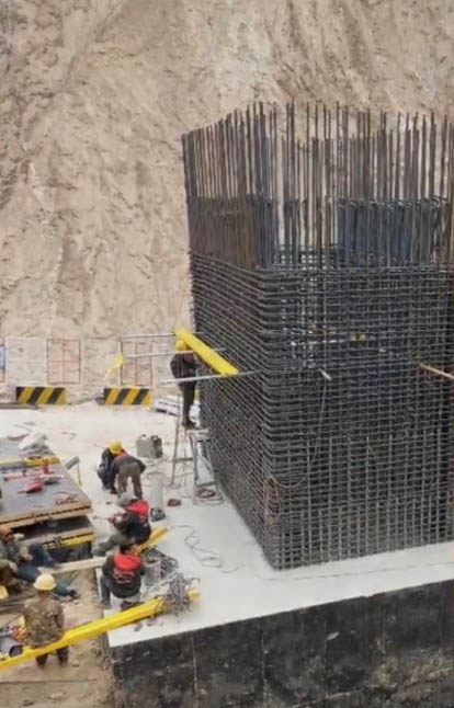
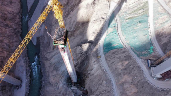
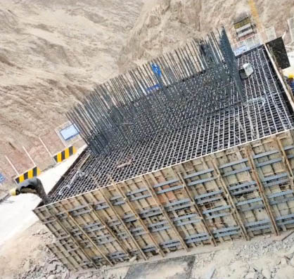
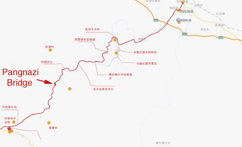
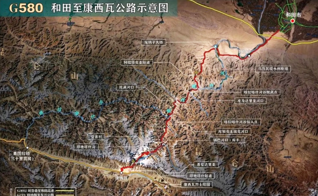
Pangnazi Bridge is the highest beam bridge located in the far west of China. Situated in the mountains south of Hotan city, the 2-lane structure is part of a reconstruction of route G580 that includes plans for a giant dam that will leave the deck of the Pangnazi Bridge just 20 meters above the surface of a reservoir.
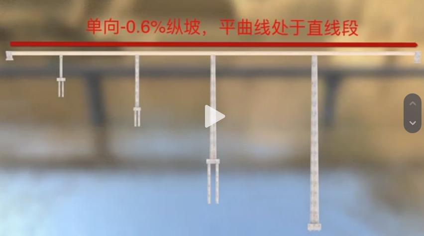
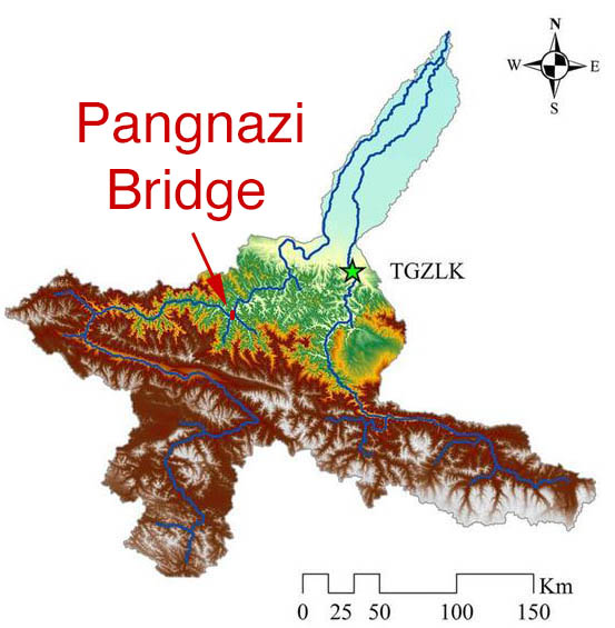
The two main spans of 100 meters are supported by a pier 169.4 meters tall. The structure crosses the Karakash or Karakax River also known as the Black Jade River that extends for 460 miles from the Himalayas to the Hotan desert basin.
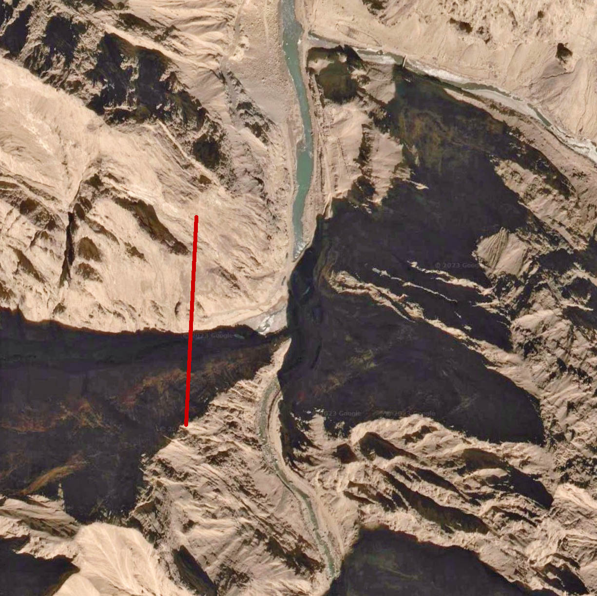
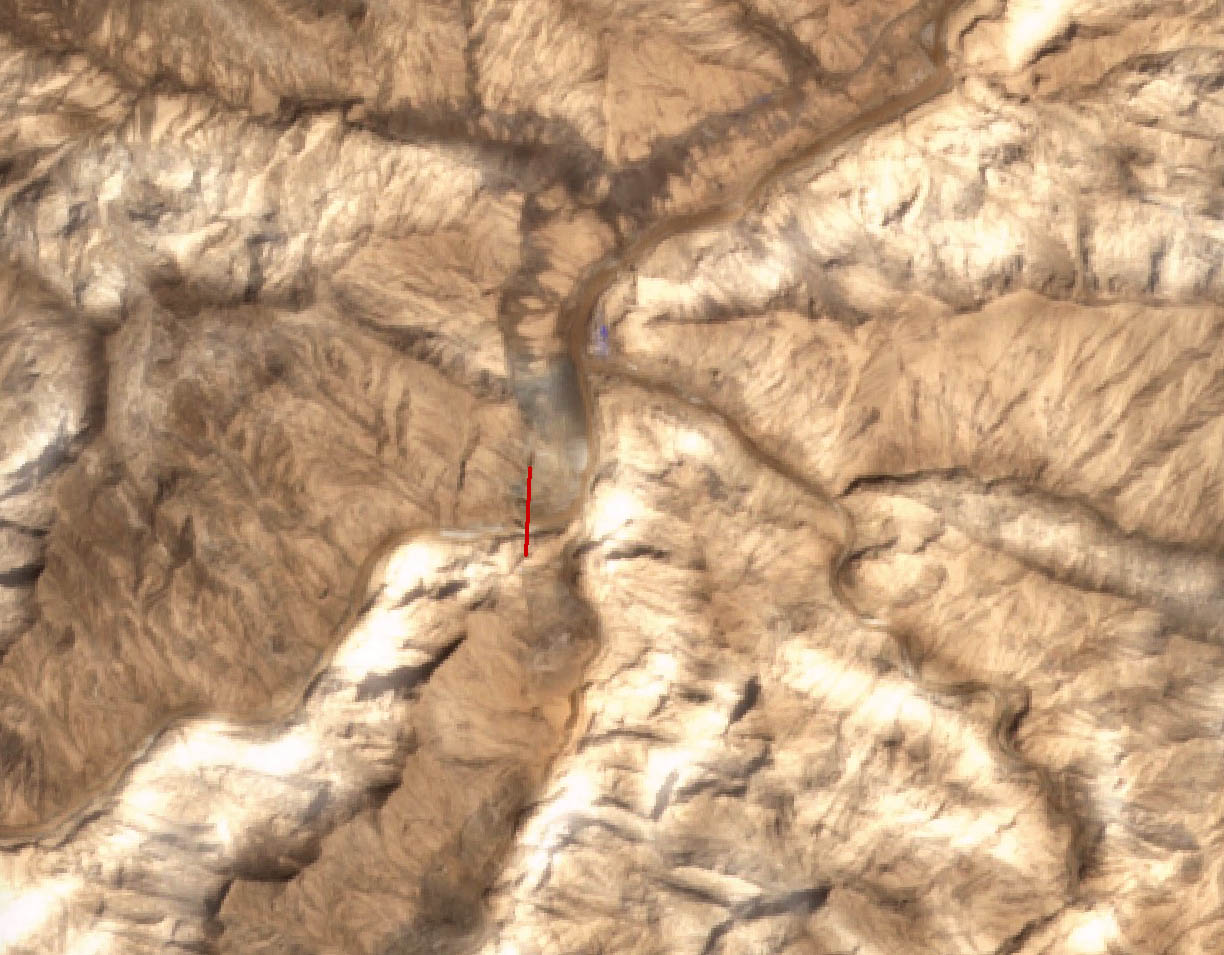
Pangnazi Bridge satellite image.
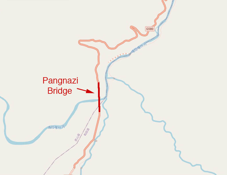
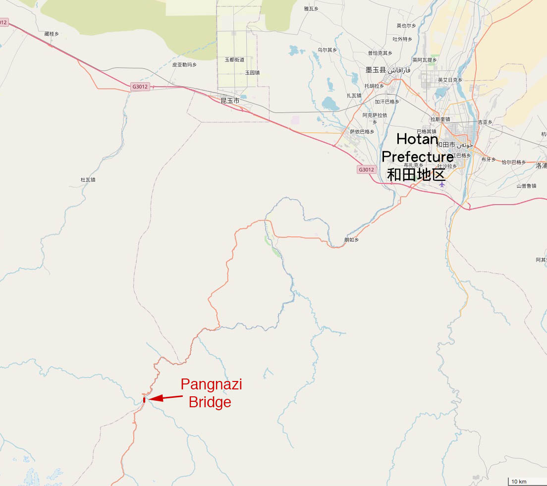
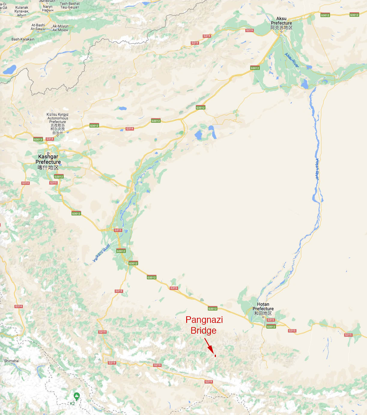
Pangnazi Bridge location map.
