Difference between revisions of "Qianjiaping Bridge"
| Line 32: | Line 32: | ||
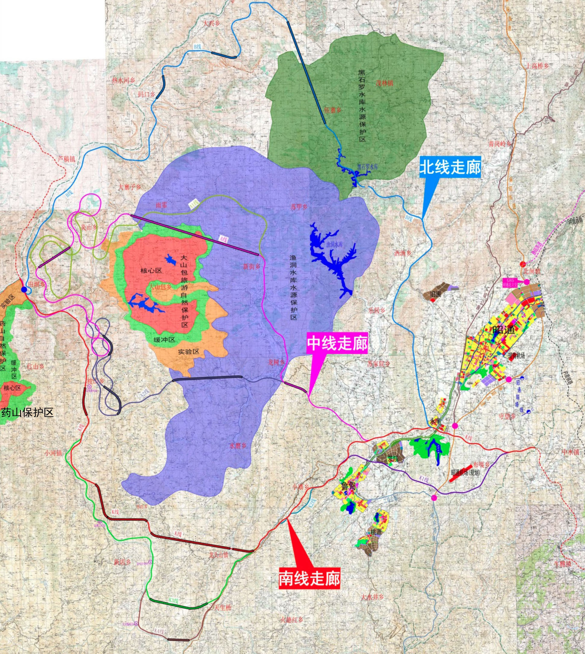
The route planning of the G7611 Zhaotong Expressway gives a great insight into the design process the Chinese engineers must undertake while planning an extremely mountainous expressway with more then 75% of the length in tunnels or on bridges. | The route planning of the G7611 Zhaotong Expressway gives a great insight into the design process the Chinese engineers must undertake while planning an extremely mountainous expressway with more then 75% of the length in tunnels or on bridges. | ||
| − | The difficulty in finding the best route for the G7611 | + | The difficulty in finding the best route for the G7611 was magnified by the terrain's continuous descent from an elevation of 2,000 meters in Zhaotong to 500 meters at the Jinsha River. Six routes were studied before they chose the red route. Several of the routes include extensive spiral switchbacks to ease the steepness of the grade. |
[[Category:Bridges in China]] | [[Category:Bridges in China]] | ||
Revision as of 04:41, 30 January 2020
Qianjiaping Bridge
钱家坪特大桥
Xiaohezhen, Yunnan, China
(328) feet high / (100) meters high
459 foot span / 140 meter span
2021
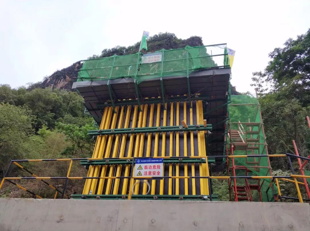
Qianjiaping Bridge is a cantilevered beam bridge on the G7611 Zhaotong to Xichang Expressway in a mountainous region of Yunnan Province.
The structure has a span configuration of 77.5+2x140+77.5 meters on piers as tall as 63.5 meters.
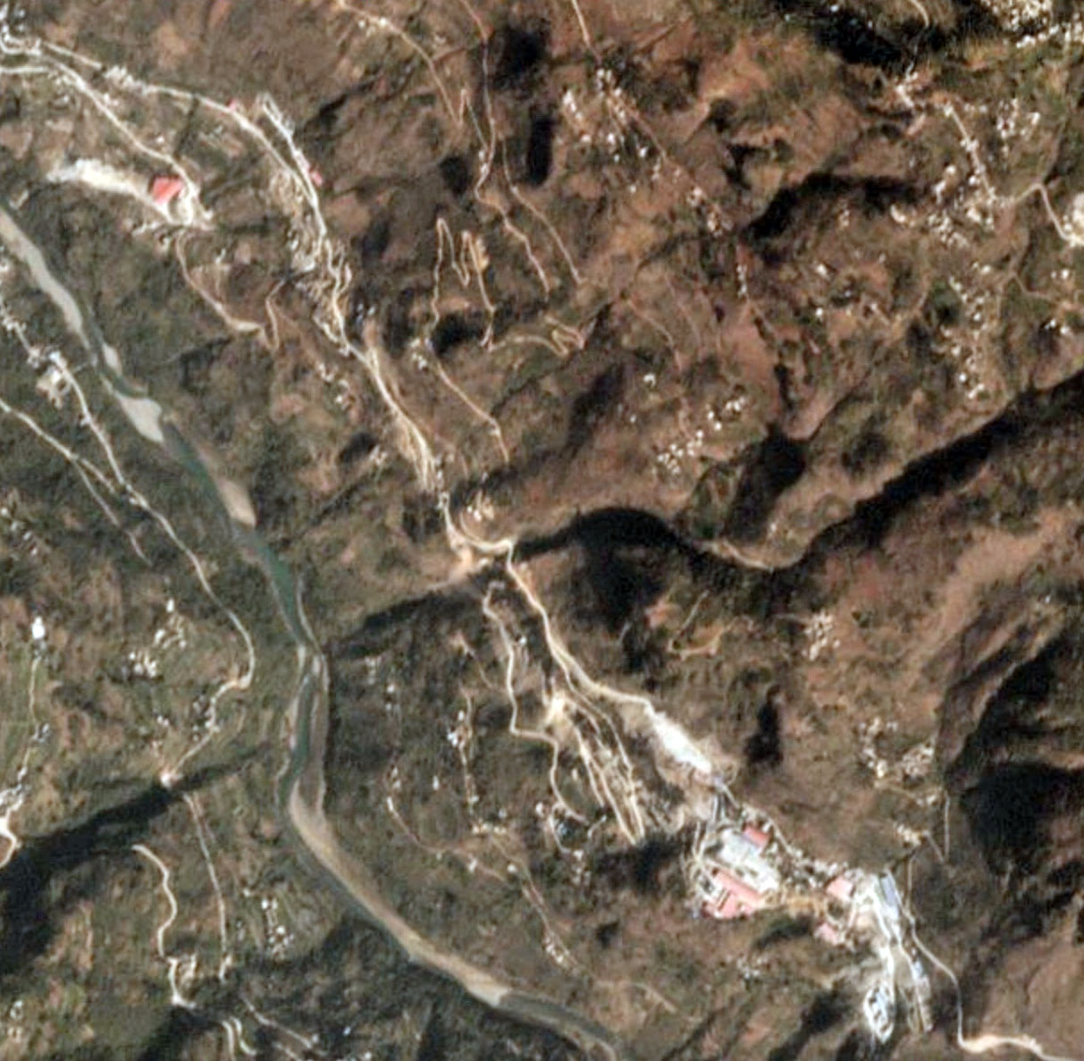
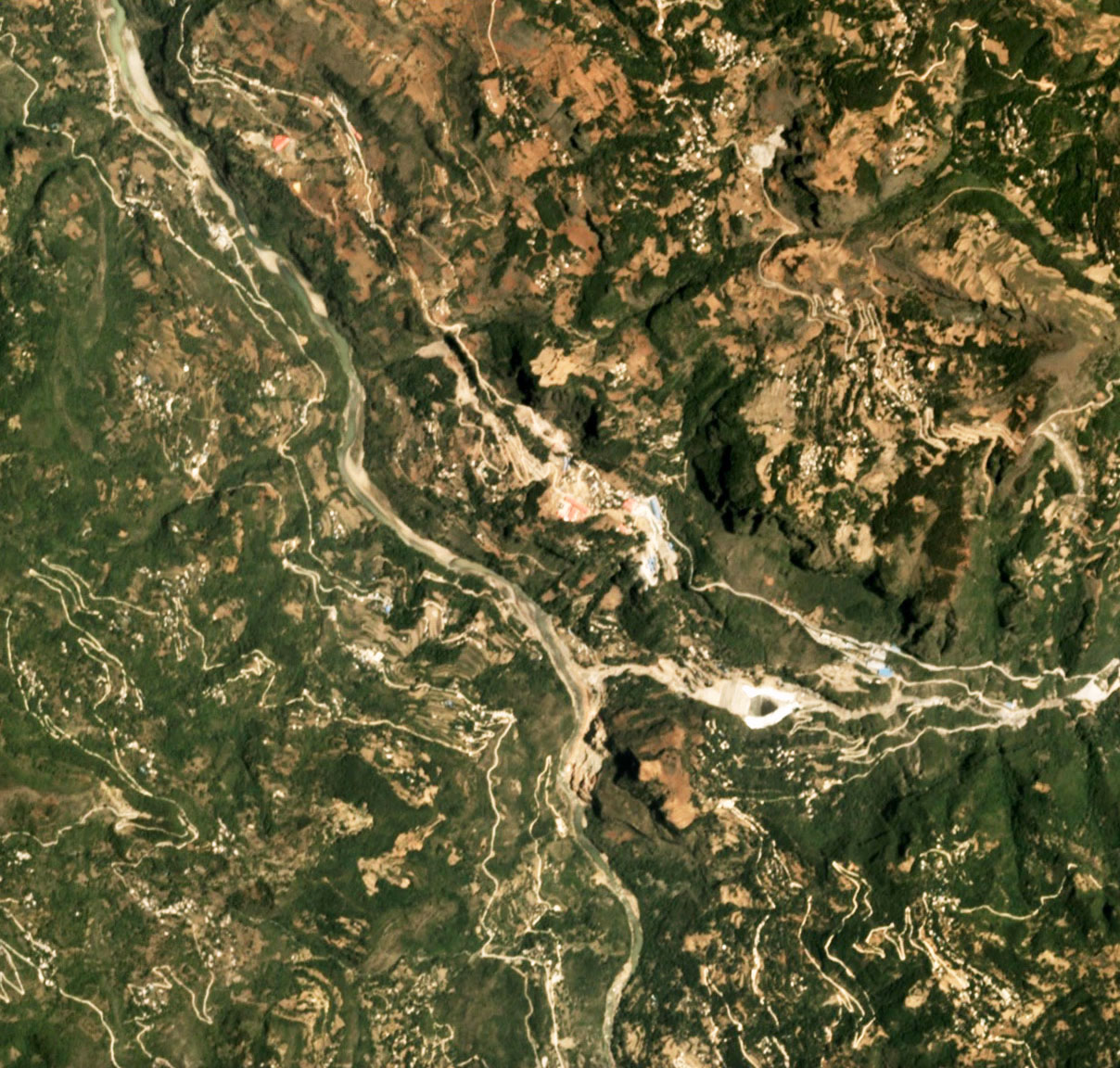
Qianjiaping Bridge satellite image.
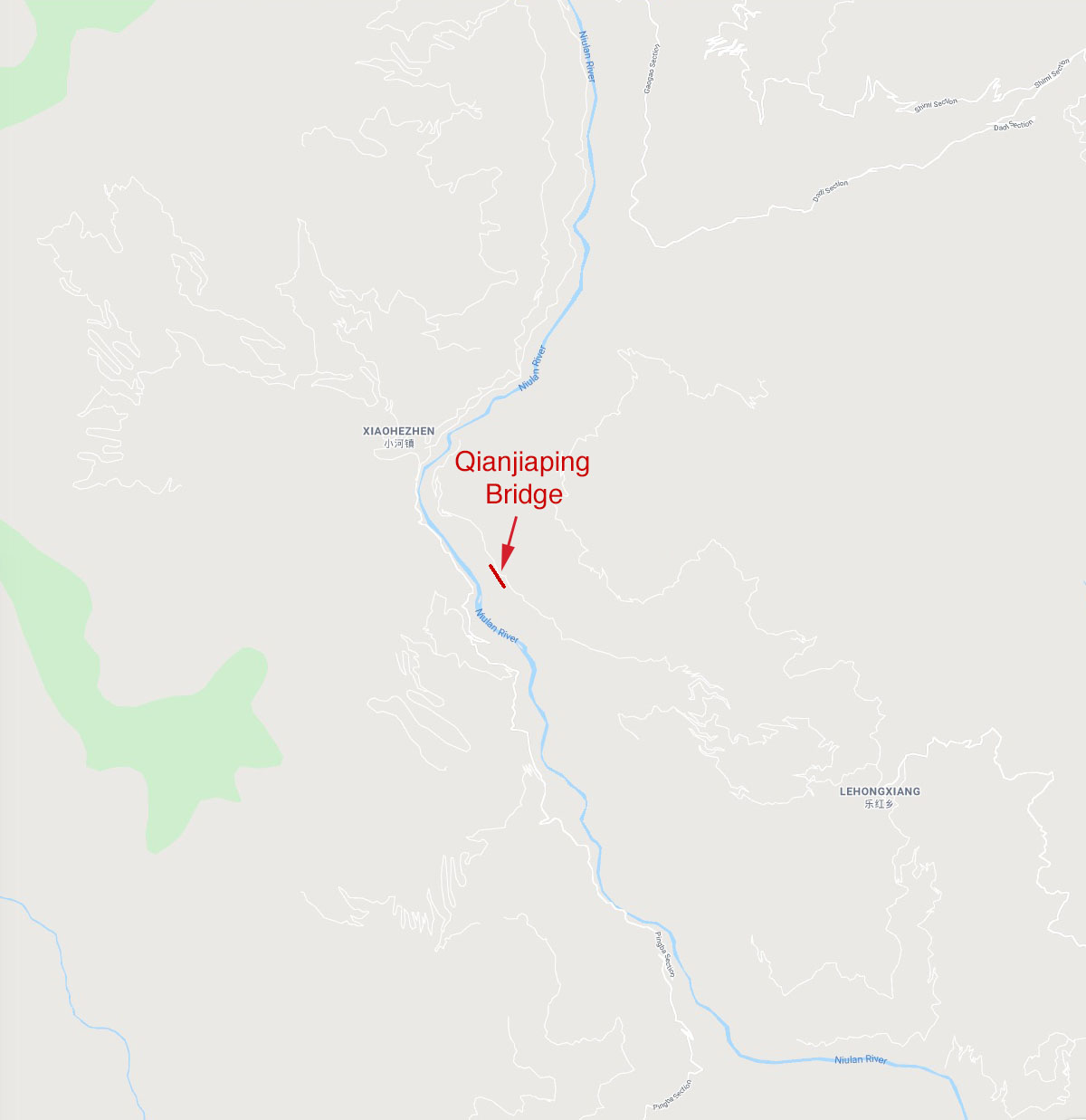
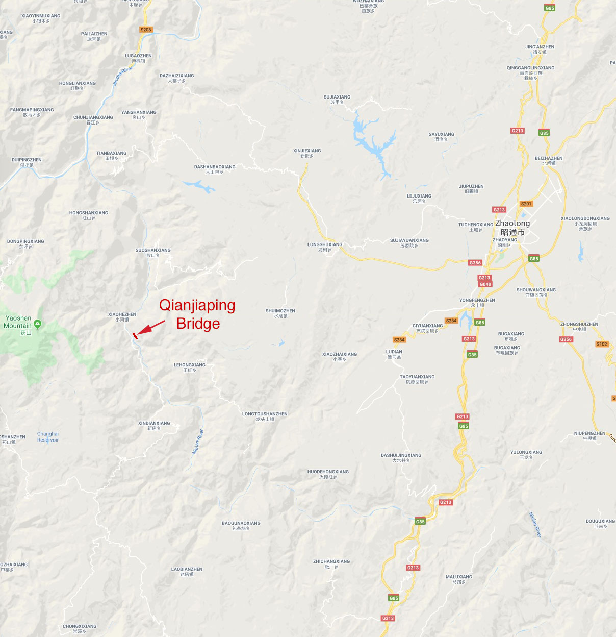
Qianjiaping Bridge location map.
The route planning of the G7611 Zhaotong Expressway gives a great insight into the design process the Chinese engineers must undertake while planning an extremely mountainous expressway with more then 75% of the length in tunnels or on bridges.
The difficulty in finding the best route for the G7611 was magnified by the terrain's continuous descent from an elevation of 2,000 meters in Zhaotong to 500 meters at the Jinsha River. Six routes were studied before they chose the red route. Several of the routes include extensive spiral switchbacks to ease the steepness of the grade.
