Difference between revisions of "Sogabekawa Bridge"
(Created page with '<div style="font-size: 25px; text-align: center;"> Sogabekawa Bridge<br /> 曽我部川橋<br /> ????, Kochi, Japan<br /> (328) feet high / (100) meters high<br /> 469 foot span …') |
|||
| (8 intermediate revisions by the same user not shown) | |||
| Line 2: | Line 2: | ||
Sogabekawa Bridge<br /> | Sogabekawa Bridge<br /> | ||
曽我部川橋<br /> | 曽我部川橋<br /> | ||
| − | + | Kami, Kochi, Japan<br /> | |
(328) feet high / (100) meters high<br /> | (328) feet high / (100) meters high<br /> | ||
469 foot span / 143 meter span<br /> | 469 foot span / 143 meter span<br /> | ||
1986<br /> | 1986<br /> | ||
| − | [[File: | + | [[File:SogabekawaPic.jpg|750px|center]] |
</div> | </div> | ||
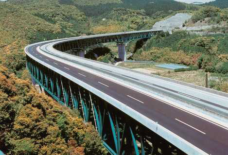
Image by Japanese Bridge Association. | Image by Japanese Bridge Association. | ||
| Line 13: | Line 13: | ||
This huge deck truss stretches 2,313 feet (705 meters) from end to end. Carrying a 4-lane highway, the structure's longest span of 469 feet (143 meters) crosses over a hillside while the highest span over the river is 361 feet (110 meters) in length. | This huge deck truss stretches 2,313 feet (705 meters) from end to end. Carrying a 4-lane highway, the structure's longest span of 469 feet (143 meters) crosses over a hillside while the highest span over the river is 361 feet (110 meters) in length. | ||
| + | Just to the north is the 83 meter high Tarodani truss bridge. | ||
| + | |||
| + | |||
| + | 巨大なトラス橋である曽我部川橋は705mの橋長を誇っています。主径間長469フィート143mを持つこの橋は4車線の高速道を支えています。また、曽我部川より一番の高さのあるスパンは361フィート110mの長さを持っています。 | ||
| + | |||
| + | |||
| + | [[File:Sogabekawa.jpg|550px|center]] | ||
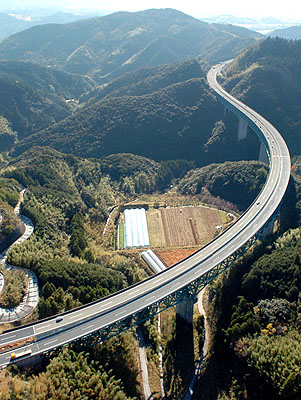
| + | The second span in the foreground is the longest one while the highest span crosses the river in the distance. Image by Japanese Bridge Association. | ||
| + | |||
| + | |||
| + | [[File:SogabekawaElevation.jpg|900px|center]] | ||
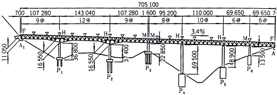
| + | Sogabekawa Bridge elevation. | ||
| + | |||
| + | |||
| + | [[File:SogabekawaSatellite.jpg|750px|center]] | ||
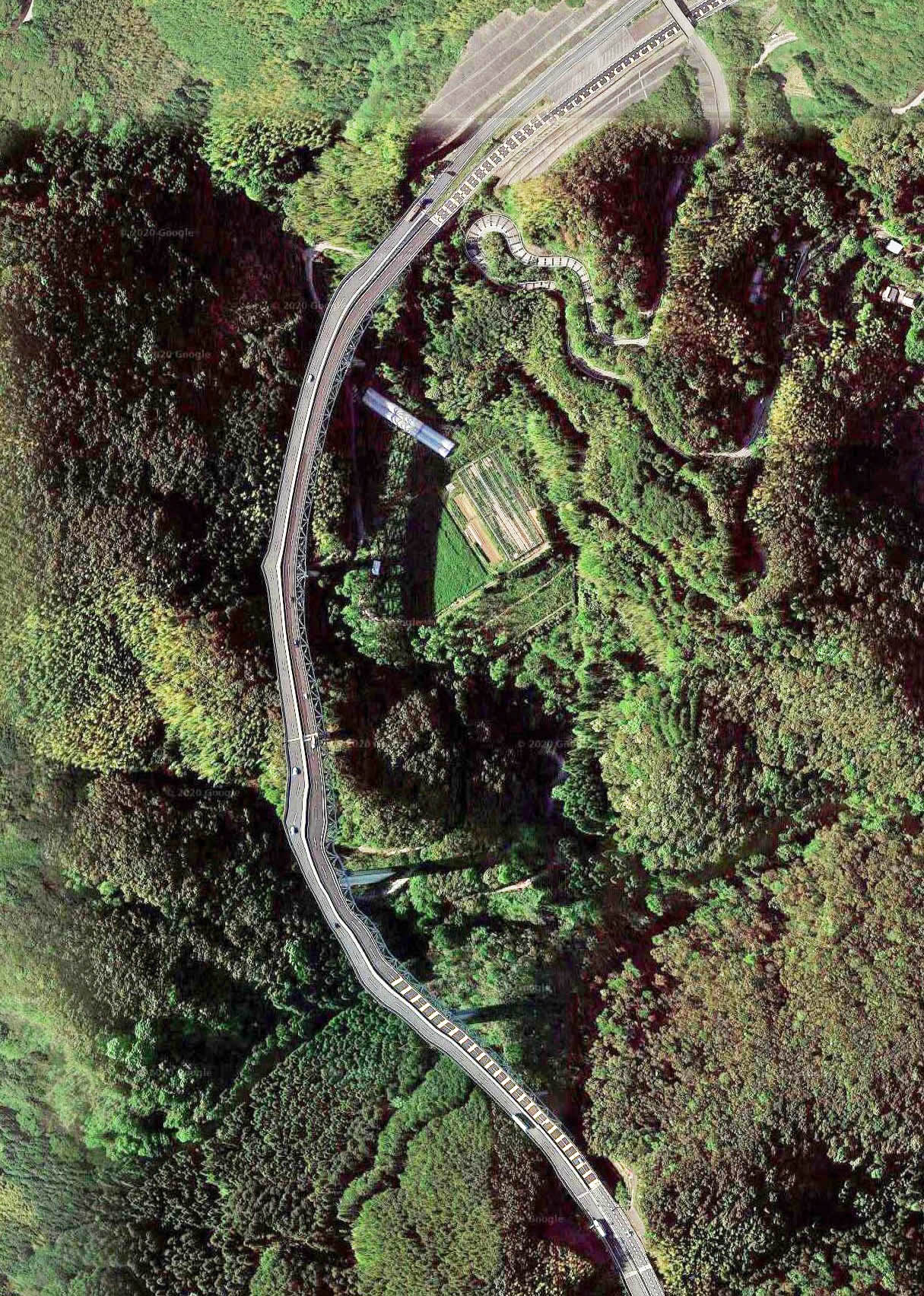
| + | Sogabekawa Bridge satellite image. | ||
| + | |||
| + | |||
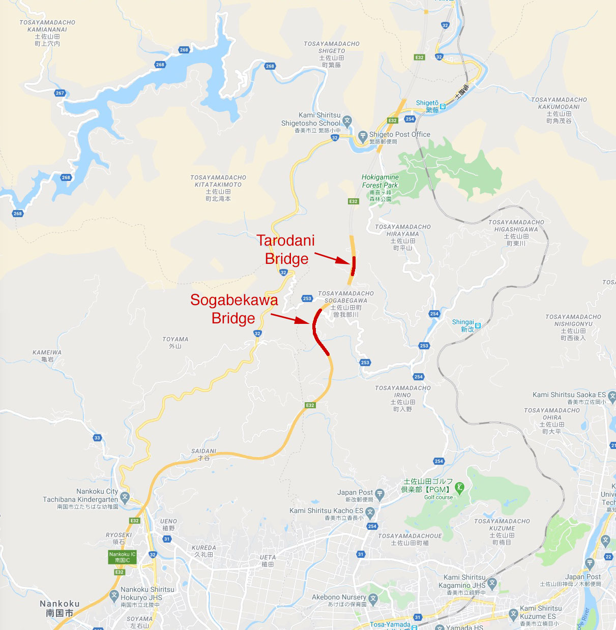
| + | [[File:TarodaniLocationMap.jpg|750px|center]] | ||
| + | Sogabekawa Bridge location map. | ||
| − | |||
| − | |||
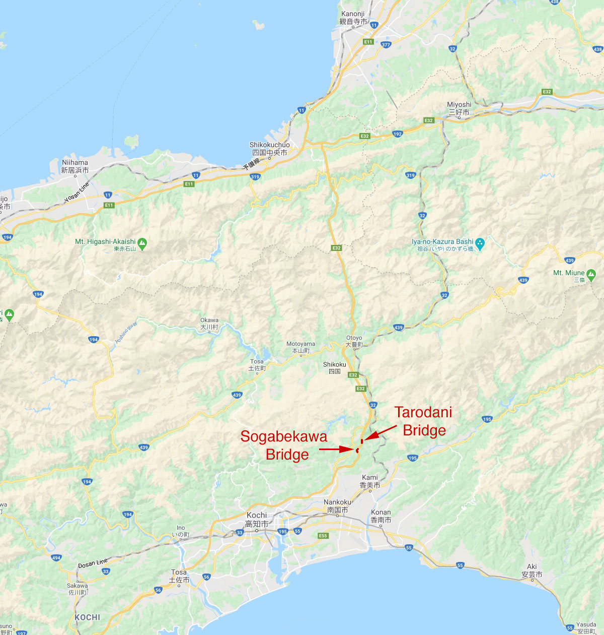
| + | [[File:TarodaniLocationMapWide.jpg|750px|center]] | ||
[[Category:Bridges in Japan]] | [[Category:Bridges in Japan]] | ||
Latest revision as of 03:33, 13 July 2020
Sogabekawa Bridge
曽我部川橋
Kami, Kochi, Japan
(328) feet high / (100) meters high
469 foot span / 143 meter span
1986
Image by Japanese Bridge Association.
This huge deck truss stretches 2,313 feet (705 meters) from end to end. Carrying a 4-lane highway, the structure's longest span of 469 feet (143 meters) crosses over a hillside while the highest span over the river is 361 feet (110 meters) in length.
Just to the north is the 83 meter high Tarodani truss bridge.
巨大なトラス橋である曽我部川橋は705mの橋長を誇っています。主径間長469フィート143mを持つこの橋は4車線の高速道を支えています。また、曽我部川より一番の高さのあるスパンは361フィート110mの長さを持っています。
The second span in the foreground is the longest one while the highest span crosses the river in the distance. Image by Japanese Bridge Association.
Sogabekawa Bridge elevation.
Sogabekawa Bridge satellite image.
Sogabekawa Bridge location map.
