Hegigio Gorge Pipeline Bridge
Hegigio Gorge Pipeline Bridge
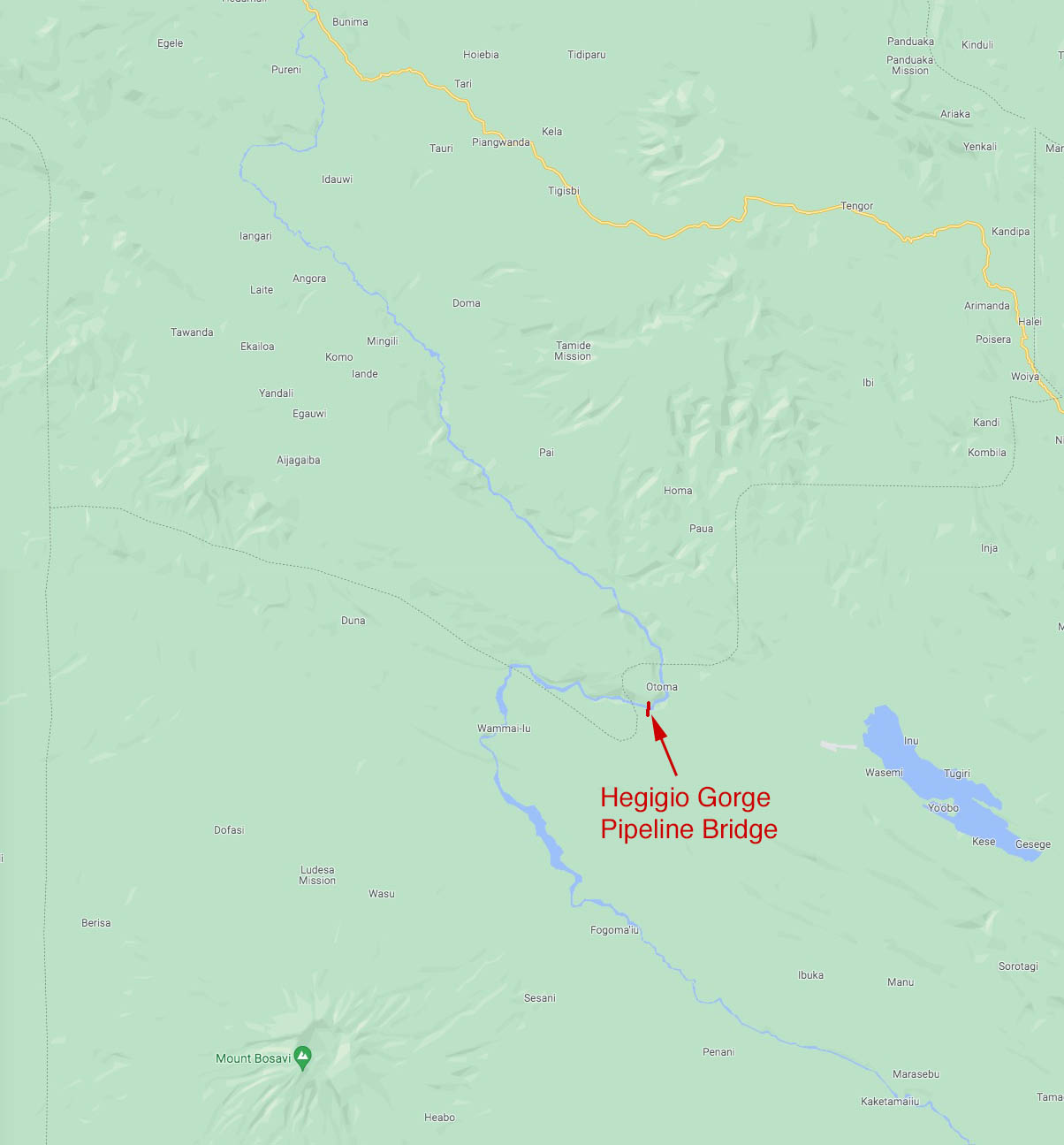
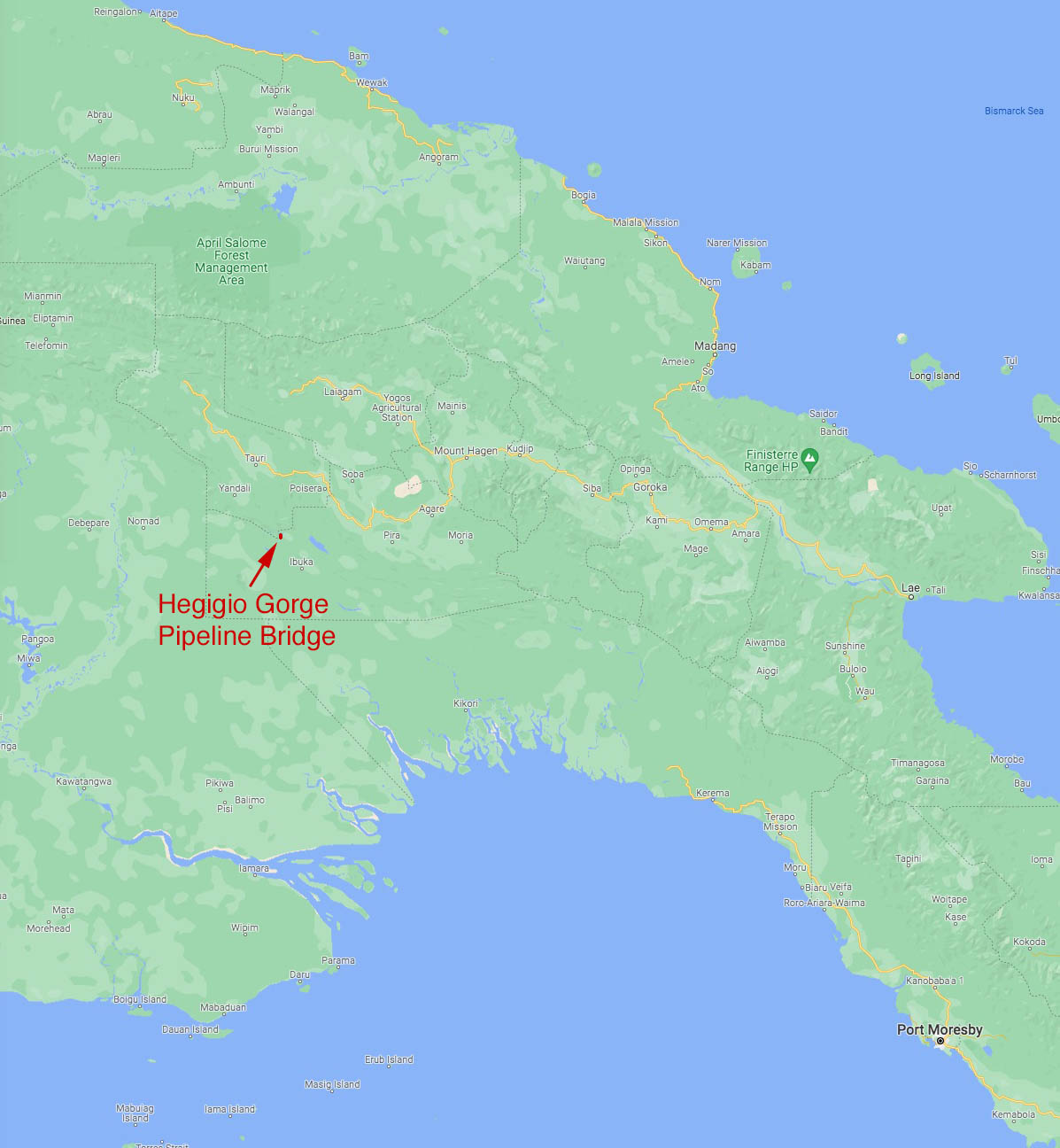
Otoma, Southern Highlands, Papua New Guinea
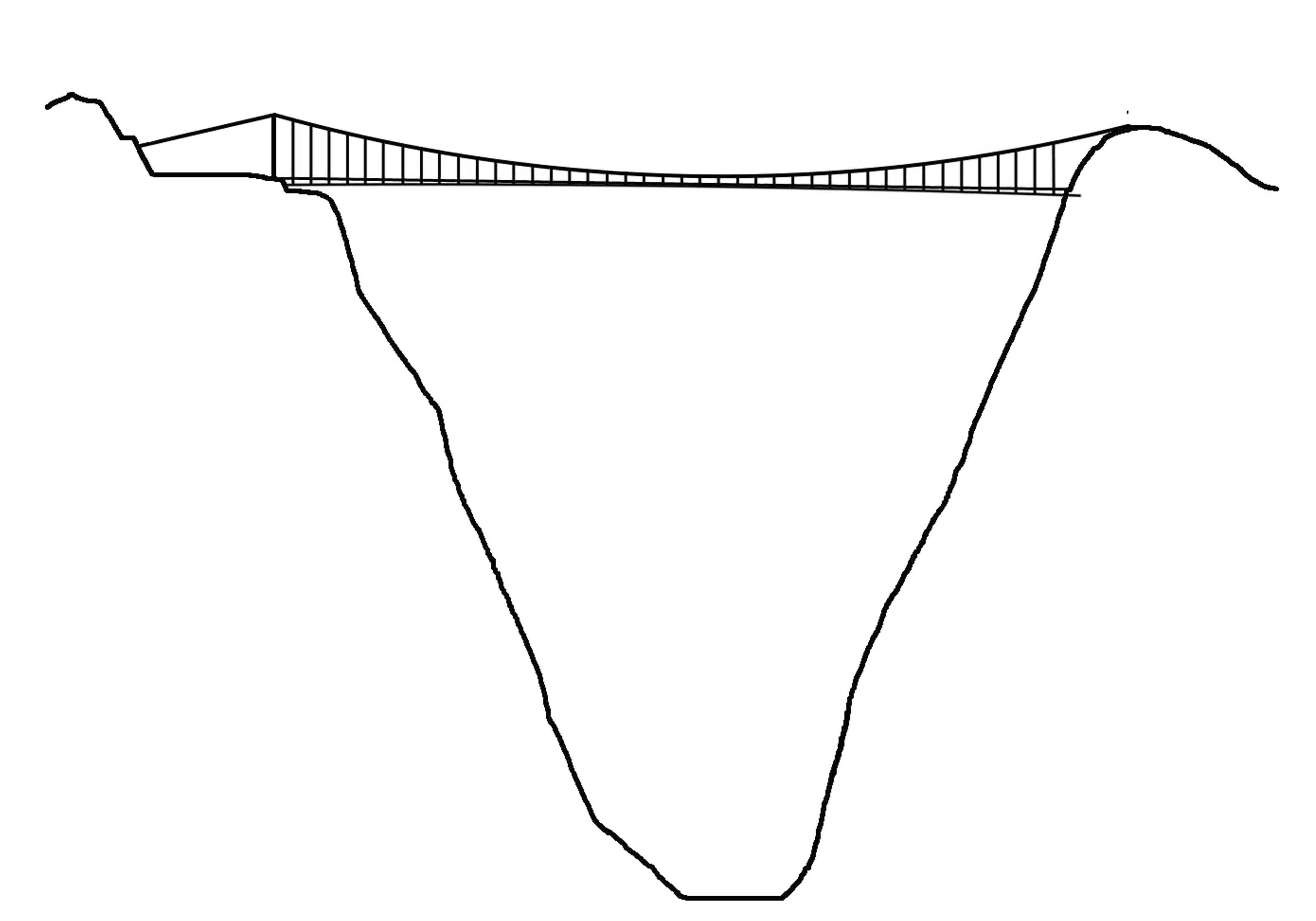
1,289 feet high / 393 meters high
1,542 foot span / 470 meter span
2005-2023
World's Highest Bridge 2005-2009
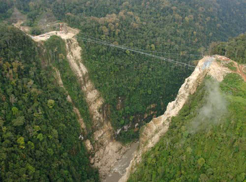
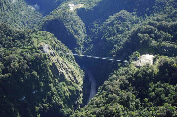
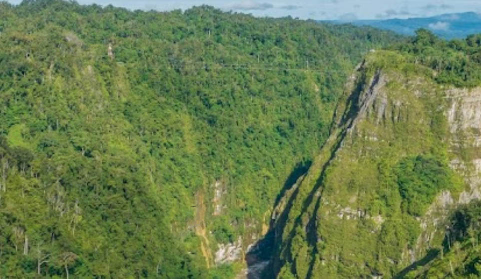
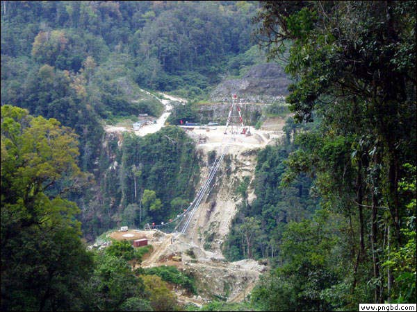
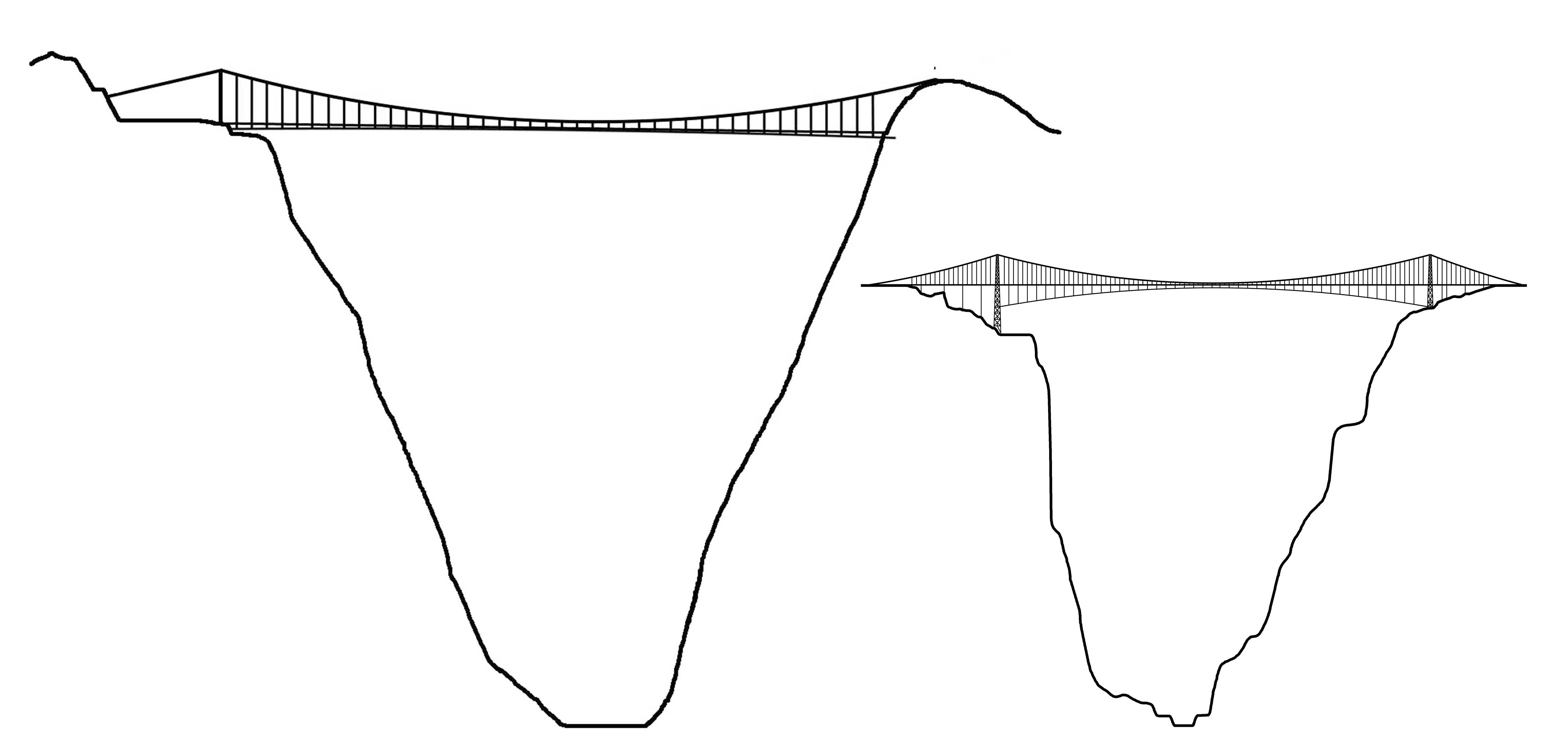
Located deep in the Southern Highlands Province of Papua New Guinea was the Hegigio Gorge suspension bridge, once the highest pipeline bridge in the world. Upon its opening in November of 2005, the 1,289 foot (393 mtr) high bridge also became the highest bridge of any kind in the world, taking the record away from China’s 2-year old, 1,200 foot high (366 mtr) Beipanjiang Guanxing suspension bridge. China took the title back again in 2009 when the 1,627 foot (496 mtr) high Siduhe suspension bridge opened. Some may argue that the Hegigio span was not a true bridge since it was not built for people but this third of a mile long web of wire and steel was a substantial structure capable of supporting several hundred tons of weight. The precarious look of the light and airy crossing was accentuated by the steep canyon walls which vary between 70 and 90 degrees.
After the bridge was damaged by a 7.5 magnitude earthquake in February of 2018, operator Santos decided to remove the bridge rather than repair and recertify it. The project was carried out in two phases. The first phase, which began in September 2022, included Non-Destructive Testing (NDT) of critical structures, a full LiDAR scan of the northern and southern bridge abutments, and vegetation removal via rope access. The final phase of the project involved the physical removal of the Hegigio Bridge in late 2023.
The bridge was a major component of the Southeast Mananda field, a remote expanse of oil that was discovered in 1991. The small size of the field and the extremely remote, jungle terrain made it a difficult petroleum project to undertake with many technical obstacles to overcome. The challenge of economically extracting the oil was undertaken by a partnership of 4 oil companies including Oil Search Ltd, AGL Gas Developments, Merlin Petroleum and Petroleum Resources Kutubu.
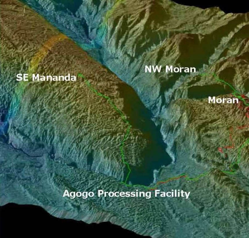
Well fluids were transported from the SE Mananda field to the Agogo production facility via a 10 mile pipeline (16 km). The biggest physical barrier along the route was the deep limestone gorge of the Hegigio River. Once the fluids crossed over the river, they flowed into the Agogo facility where the oil was then fed into the main Moran pipeline where it traveled more than 160 miles (258 km) further to the Kumul terminal in the Gulf of Papua. The bridge also supported a gas lift line that went from the Agogo facility to the SE Mananda field. The bridge was designed to support two future flow lines if more fields were developed along the Mananda ridge. Oil first went across the bridge in March of 2006 with full production capacity achieved a few months later.
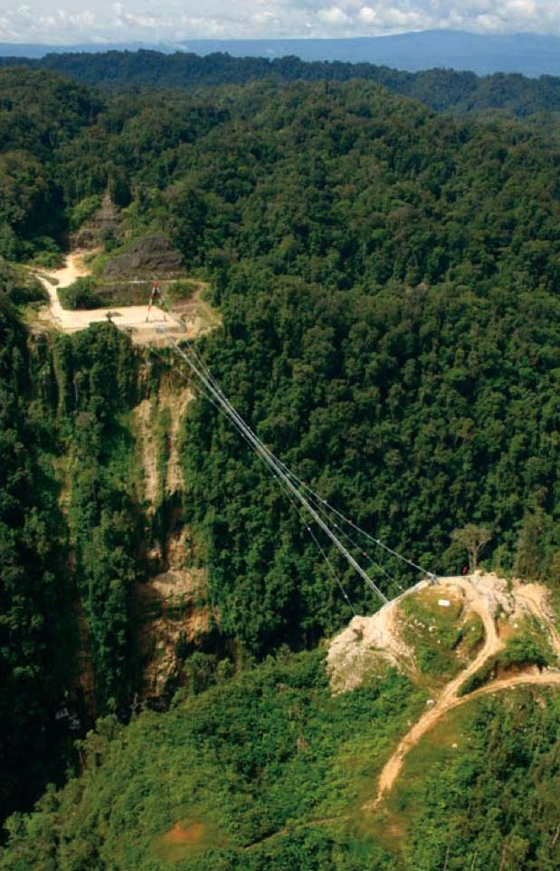
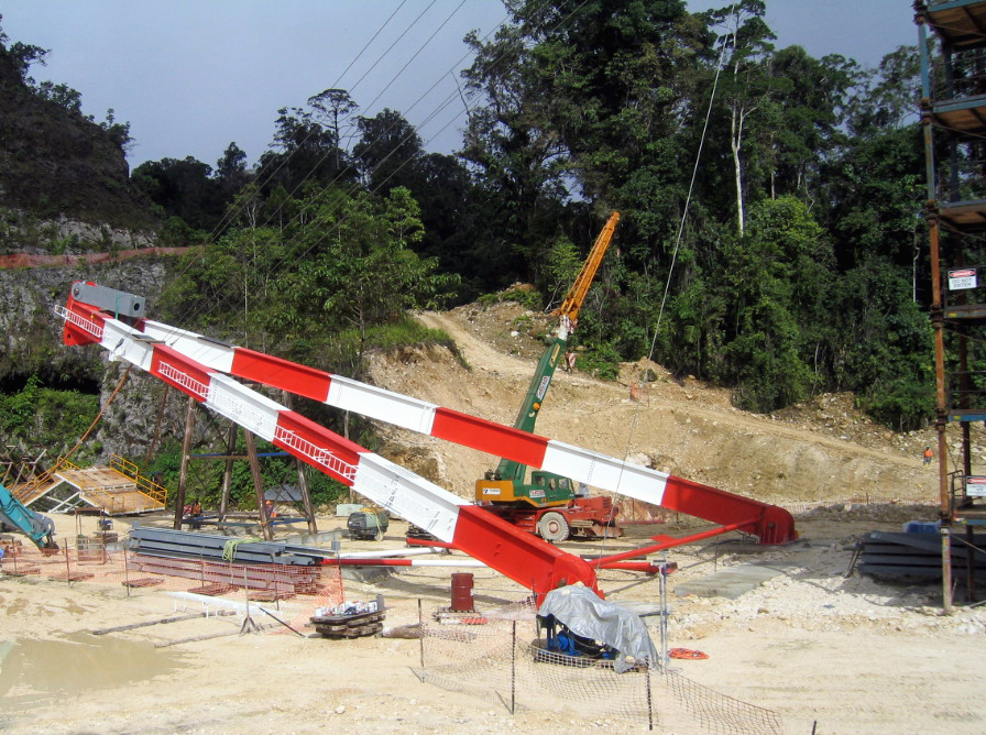
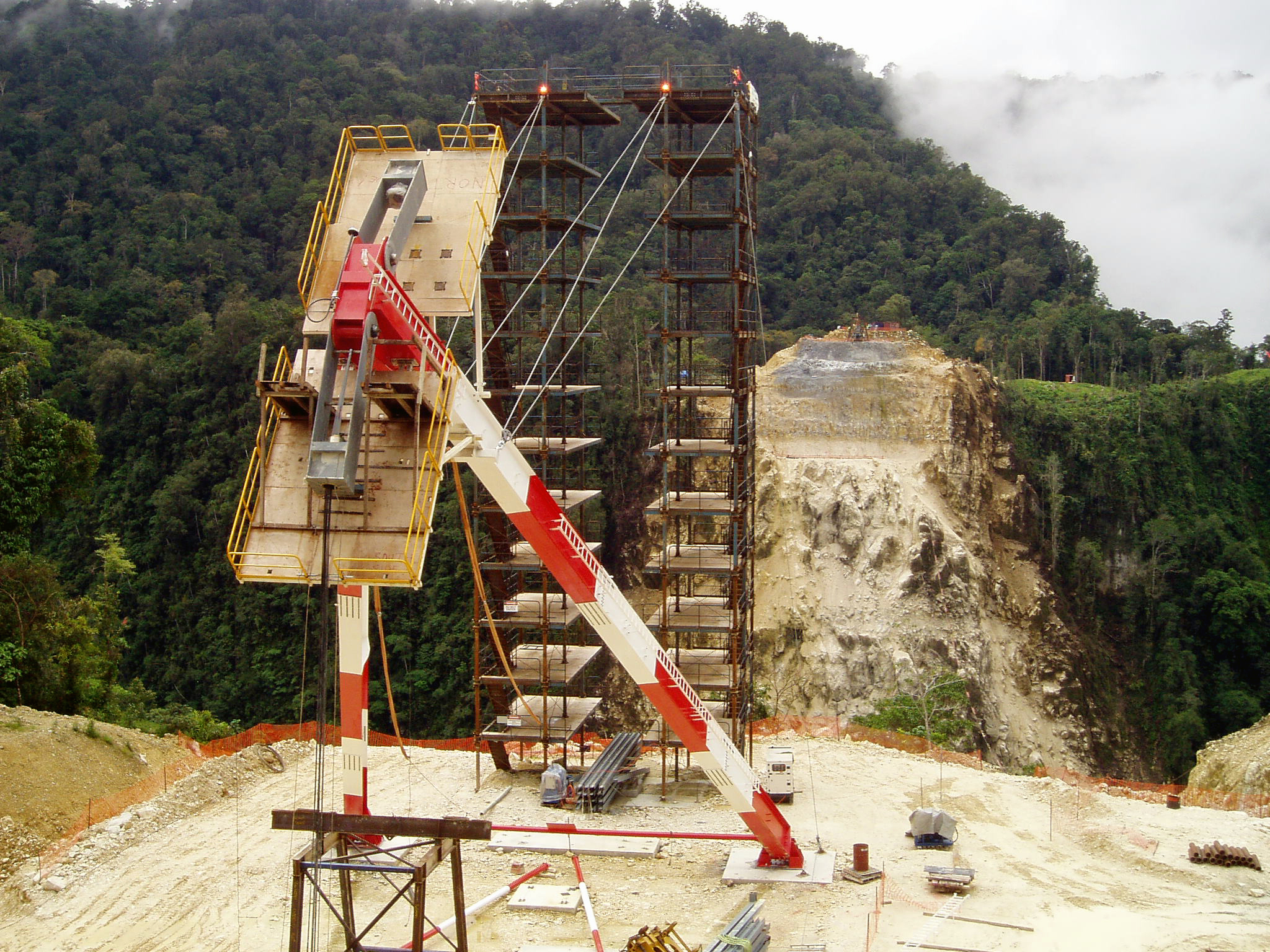
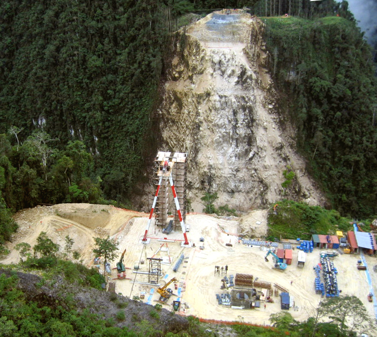
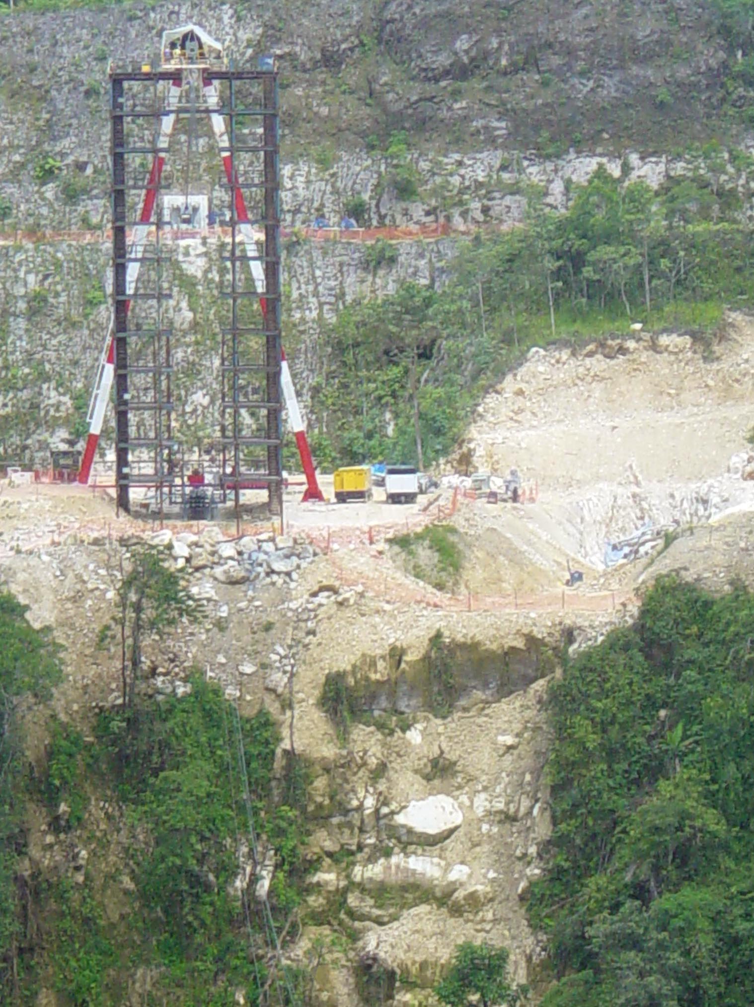
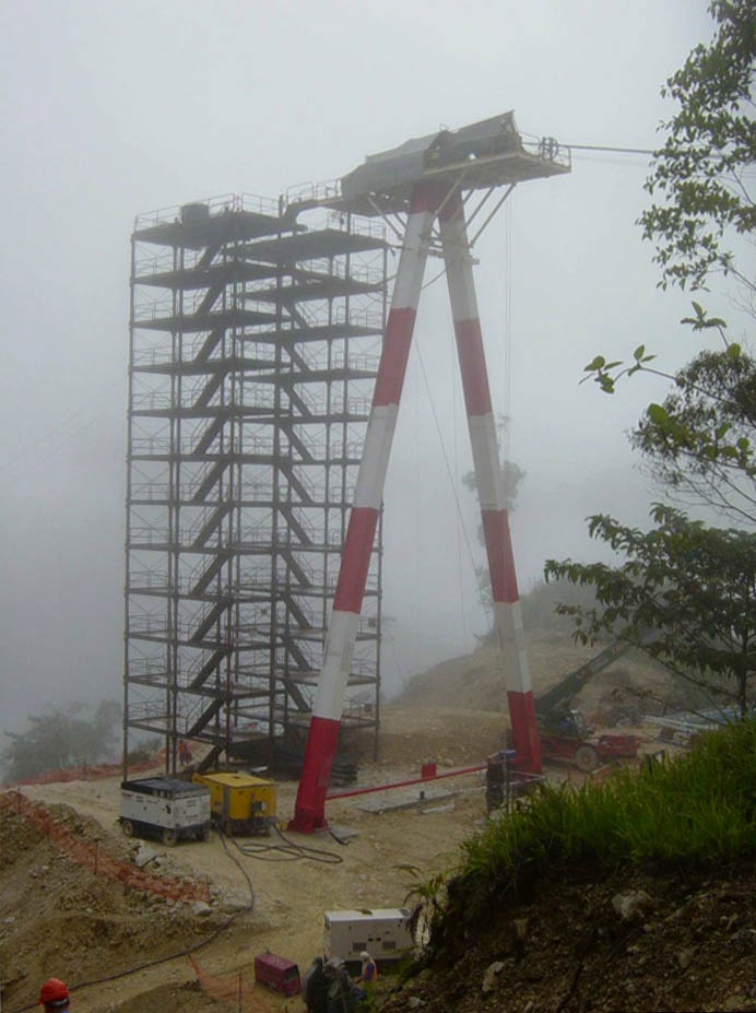
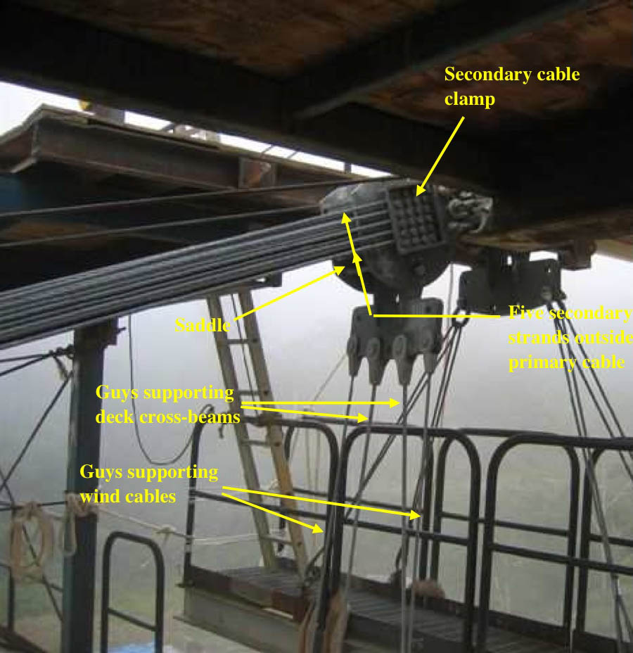
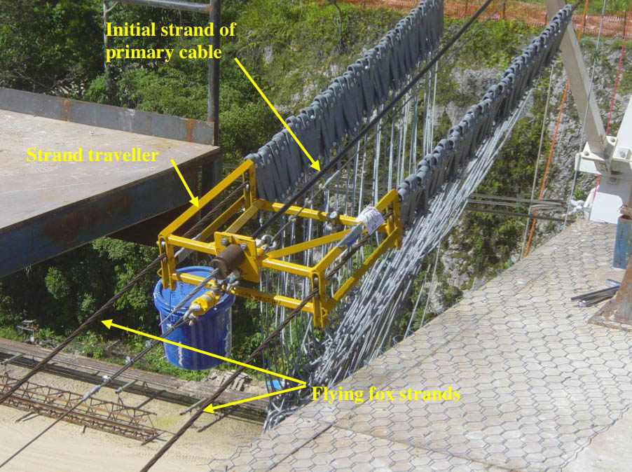
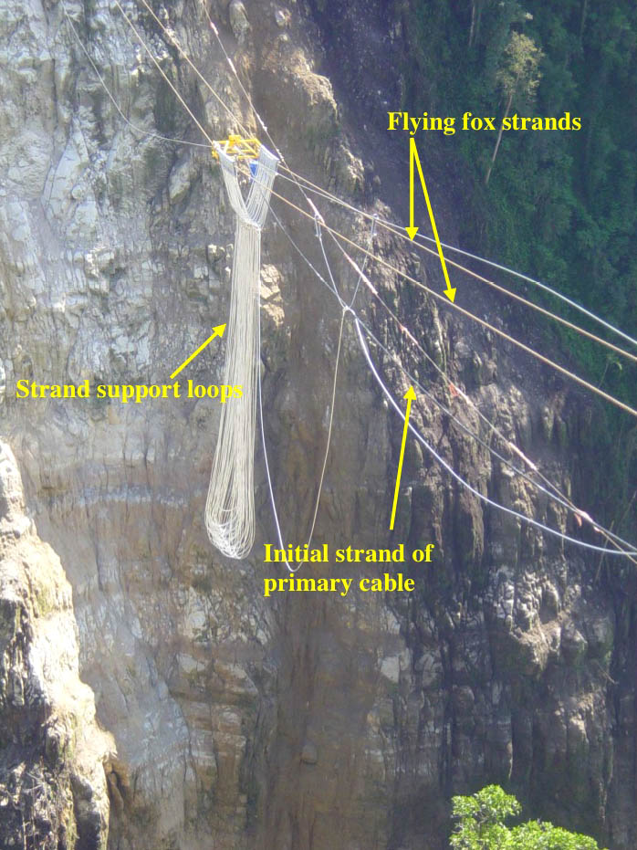
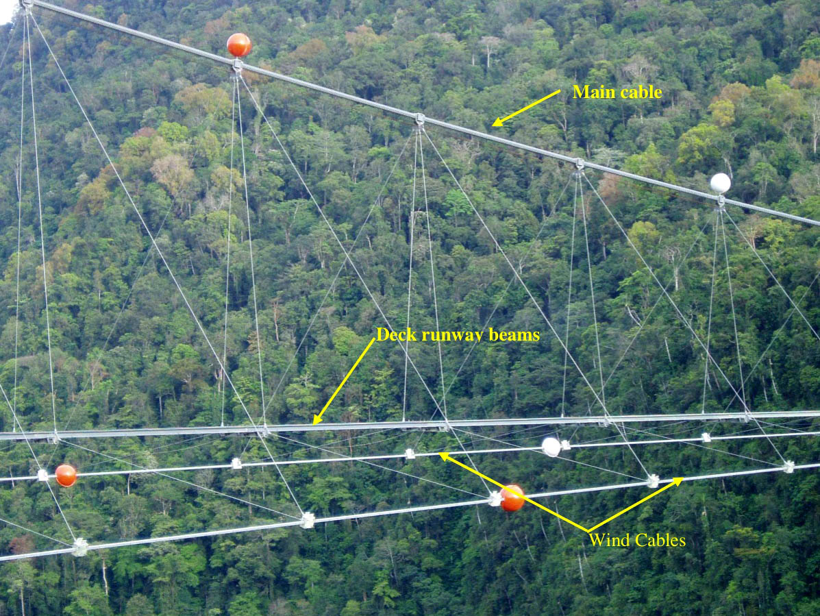
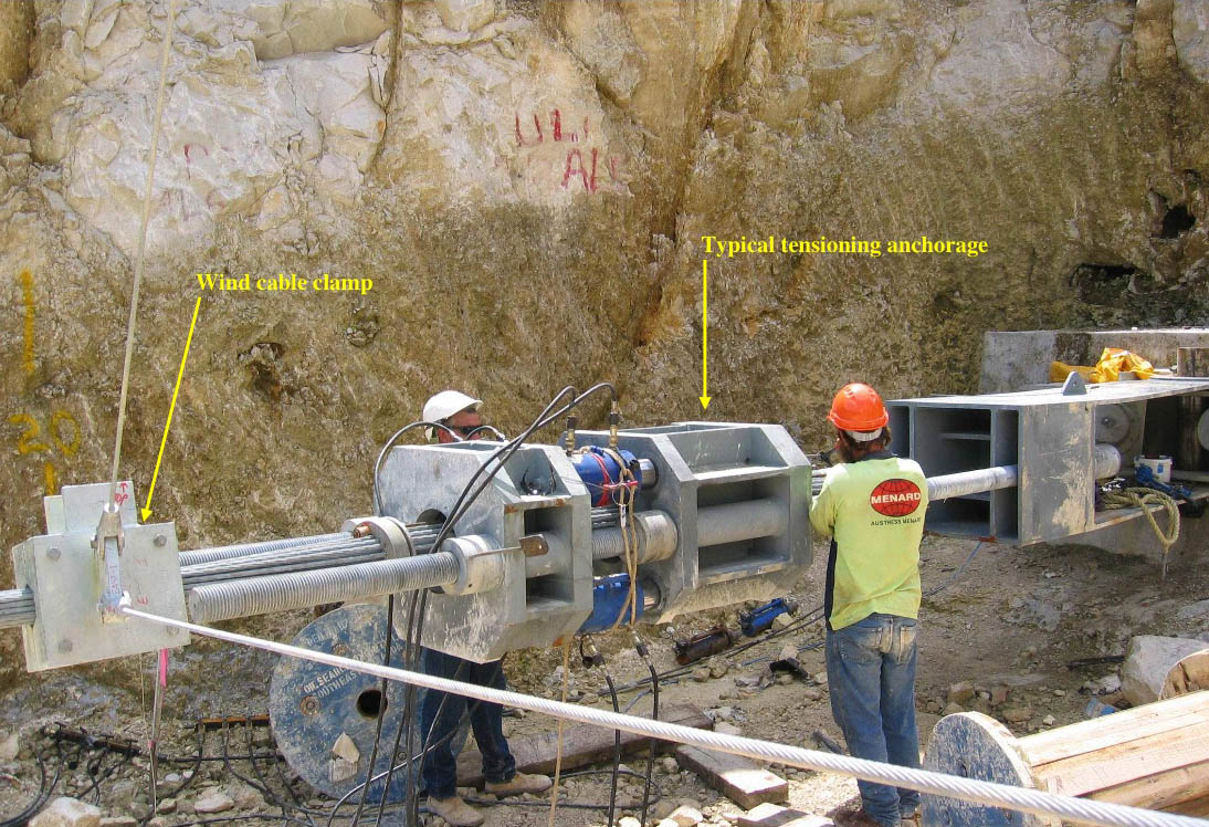
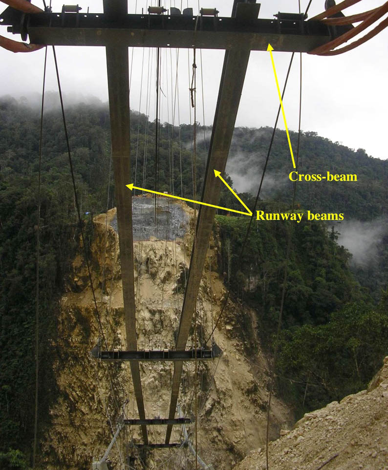
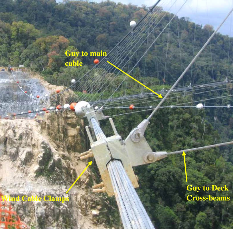
The assignment of building a bridge across the river went to Kellogg Brown & Root, a company owned by Halliburton that has constructed many pipeline related engineering projects over the years. Designed by engineer Ken Ross and built by Clough construction, the main span consists of 3 catenary cables, 2 of them horizontal and one vertical. The vertical cable consisted of 87 individual wire strands that were 15.2 mm thick while each of the wind cables consisted of 35 strands. The south side of the bridge was comprised of a 108 foot (33 mtr) high tower while the north side cable terminated just above the ground at the top of a rocky outcropping. The steep terrain on the north side required a 100 foot (30 mtr) high terrace to be carved into the rock in 16 foot (5 mtr) wide steps so the wind anchors could be installed. The north side of the bridge was also difficult to reach since there was no road access in place like there was on the south side. The first two cables were strung across by a helicopter while successively thicker cables were then winched across. Another construction hurdle came from the harsh weather which even today can be problematic to the operation of the pipeline. There was no pedestrian walkway on the bridge. If necessary, personnel access for maintenance was from a trolley that rode along two rails.
The bridge could only be reached by a twin prop plane from the capital city of Port Moresby. The 350 mile (563 mtr) trek took 75 minutes and could only be done with permission from one of the oil companies who oversee the mountain landing strips that were used to access the oil fields and pipelines. A road journey can be taken from Lae on a difficult 435 mile (700 km) trek through harsh, jungle terrain. During construction, most of the materials were transported in on this road.
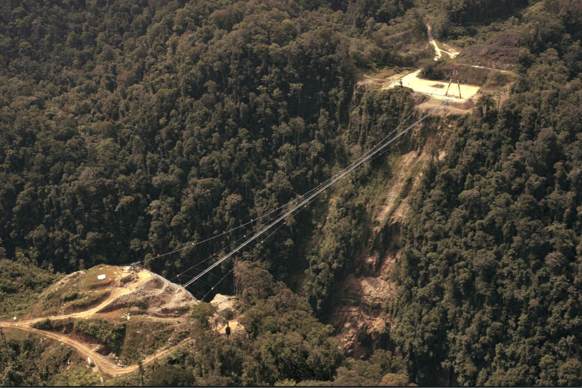
Hegigio Gorge Bridge image by Oil Search.
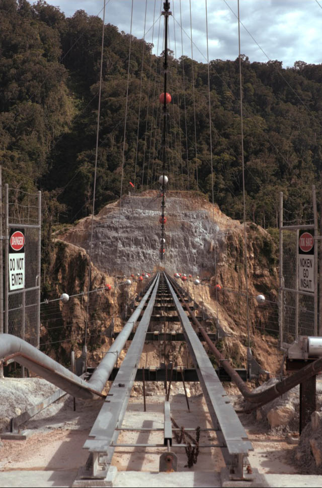
Two I-beams support a trolley maintenance car.
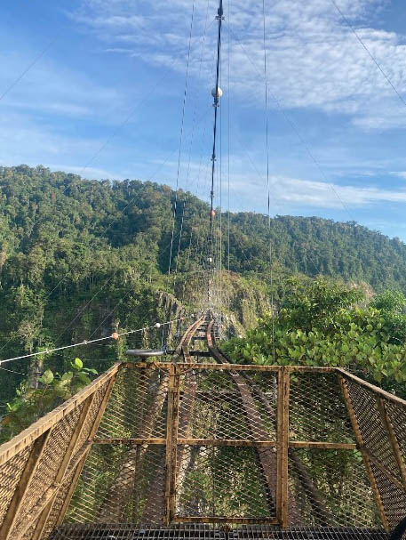
The same view in 2022 after some damage from the 2018 earthquake.
A view of the bridge in 2023, the last year it would exist.
Topographic map of Mananda and Moran oil fields with the pipeline bridge crossing in the lower center.
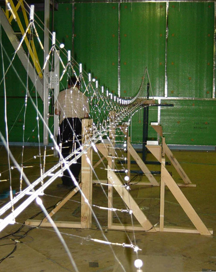
Hegigio Gorge Pipeline bridge model.
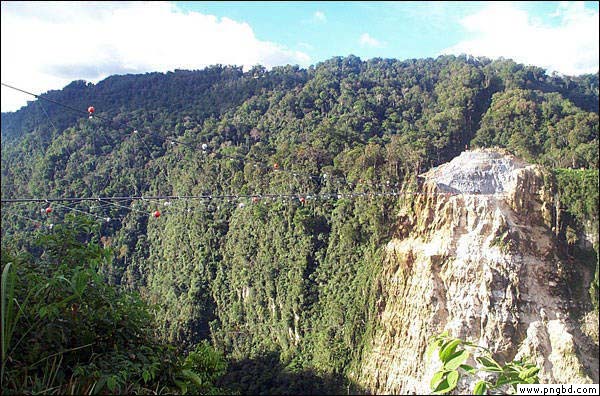
Image by www.pngbd.com
Image by www.pngbd.com
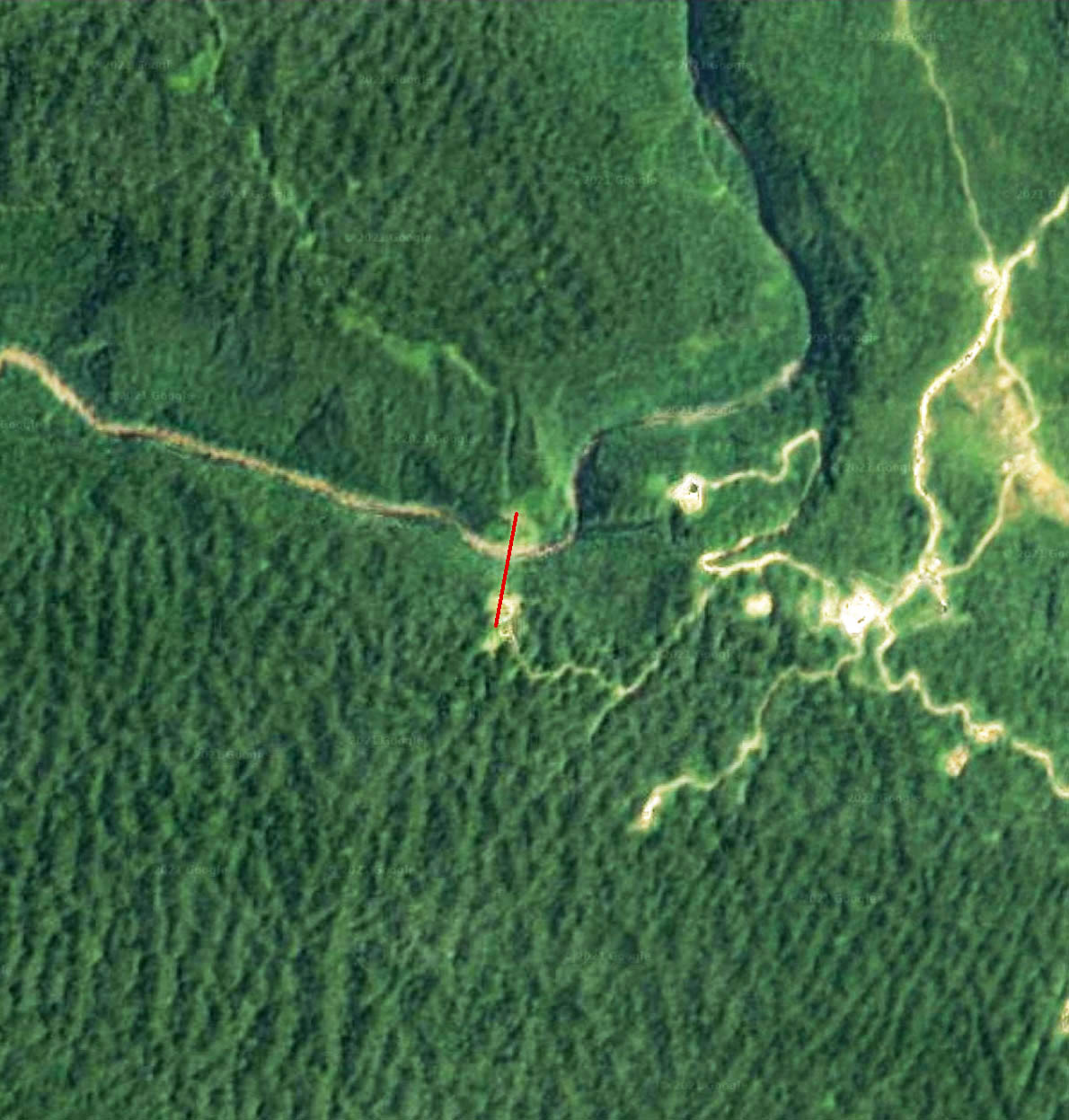
Hegigio Gorge Pipeline Bridge satellite image.
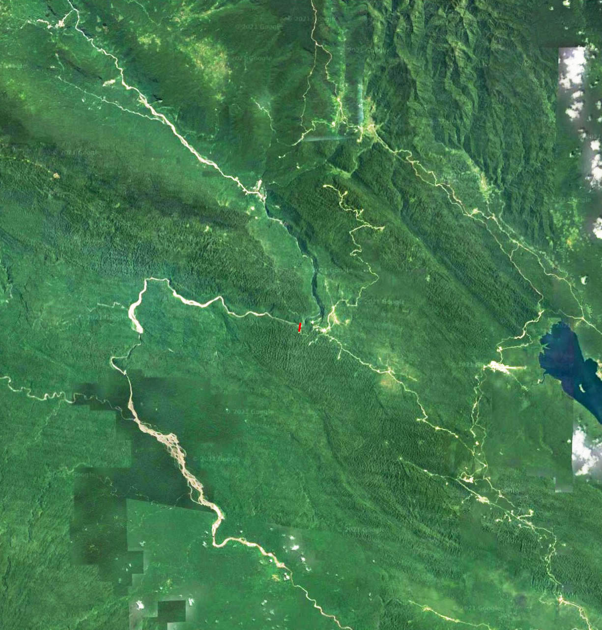
Hegigio Gorge Pipeline Bridge location map.
