Difference between revisions of "Bhote Kosi Bungee Footbridge"
(Created page with "<div style="font-size: 25px; text-align: center;"> Bhote Kosi Bungee Footbridge<br /> Kodari, Dolakha Region, Nepal<br /> 525 feet high / 160 meters high<br /> 545 foot span / 16...") |
|||
| (4 intermediate revisions by the same user not shown) | |||
| Line 2: | Line 2: | ||
Bhote Kosi Bungee Footbridge<br /> | Bhote Kosi Bungee Footbridge<br /> | ||
Kodari, Dolakha Region, Nepal<br /> | Kodari, Dolakha Region, Nepal<br /> | ||
| − | + | (328) feet high / (100) meters high<br /> | |
545 foot span / 166 meter span<br /> | 545 foot span / 166 meter span<br /> | ||
1999<br /> | 1999<br /> | ||
| − | [[File: | + | [[File:Bhote KosiRiverDrone.jpg|750px|center]] |
</div> | </div> | ||
Image by Redletterbox.com | Image by Redletterbox.com | ||
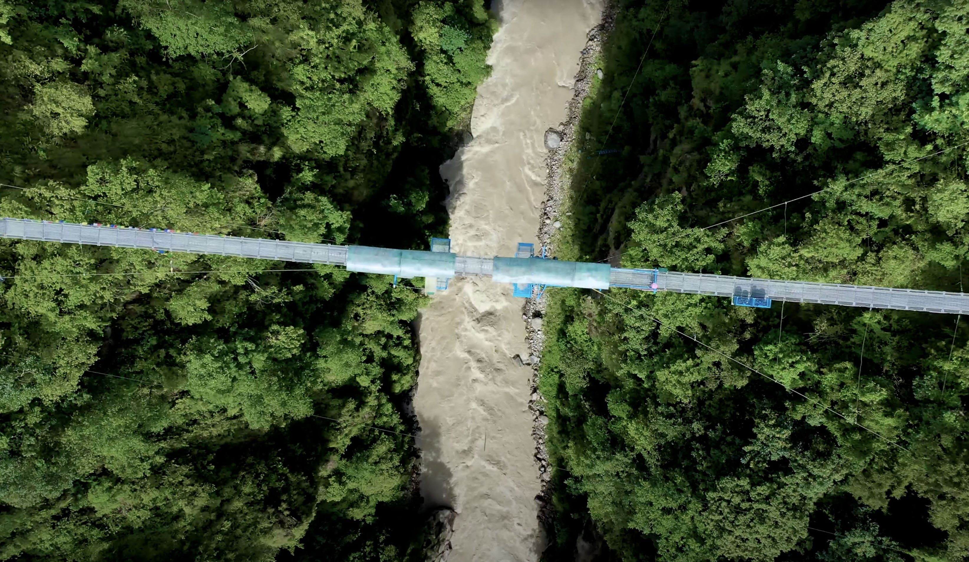
| − | + | Conceived from the start to be a bungee jumping bridge, the owners of Bhote Kosi scouted several locations in the region around Kathmandu, Nepal before they found the perfect site for their operation in the Dolakha region about 7.5 miles (12 kms) south of the Tibetan border in Northern Nepal. | |
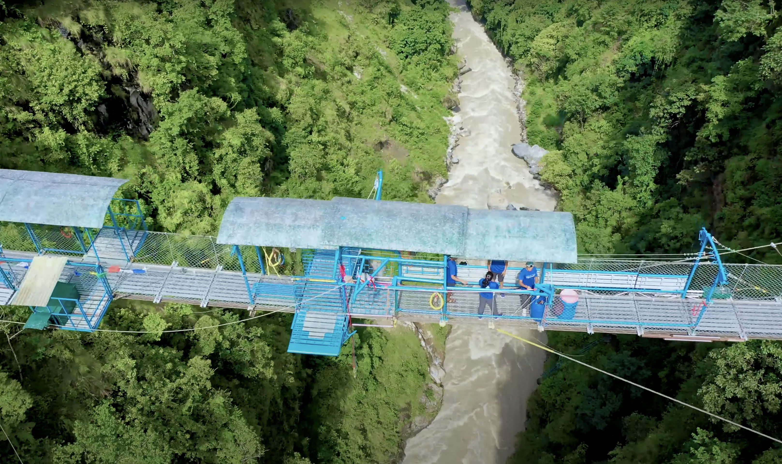
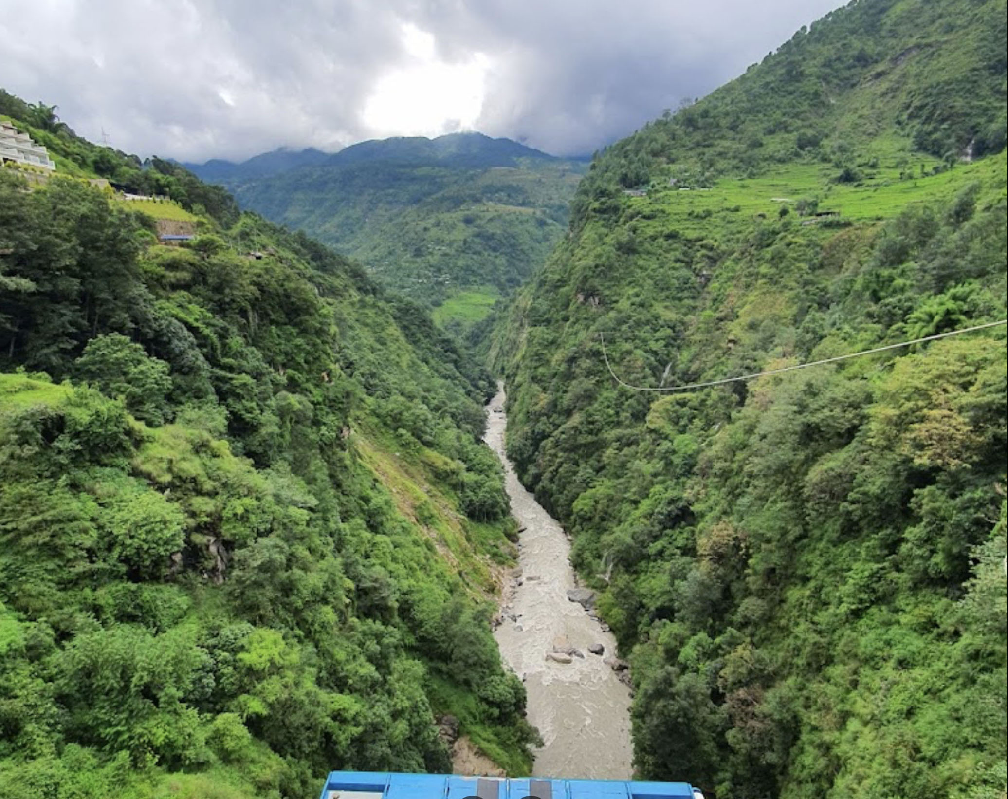
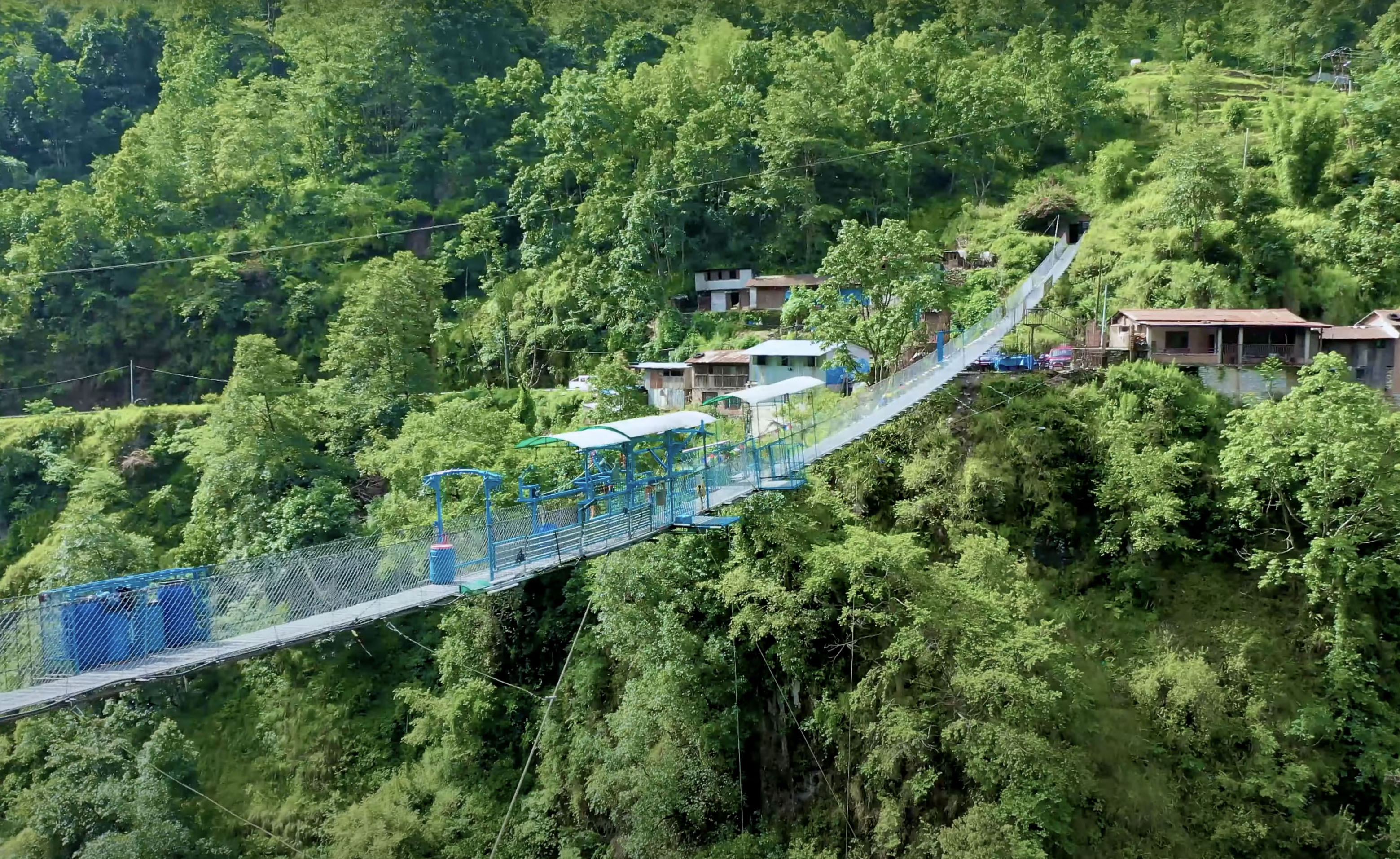
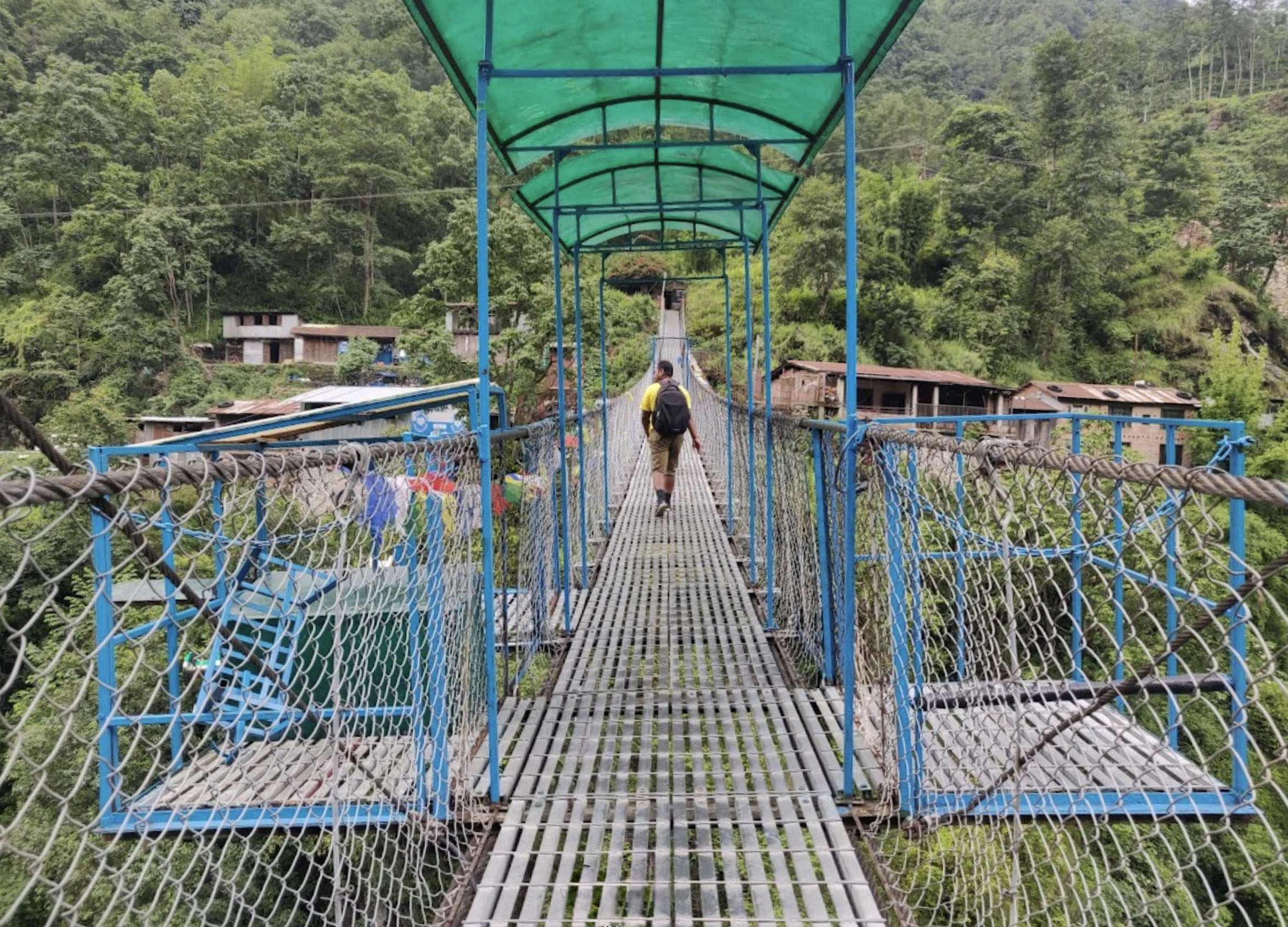
| − | Crossing | + | Crossing approximately 328 feet (100 mtrs) above the Bhote Kosi River, the narrow catenary walkway is suspended on 4 cables - 2 under the deck and 2 along the hand holds. Two additional wind stay cables keep it all solid. The 545 foot (166 mtr) long, Swiss designed span took 3 months to build. |
In 2004, a canyon swing was introduced. Jumpers are attached to a cable that is connected to another cable crossing over the gorge. After leaping from the bridge platform, they free fall towards the river before the swing lines take up the tension and you enter a large, semicircular arc of about 787 feet (240 mtrs). The swing was designed by Swiss engineers and constructed by Radha Engineering of Nepal. | In 2004, a canyon swing was introduced. Jumpers are attached to a cable that is connected to another cable crossing over the gorge. After leaping from the bridge platform, they free fall towards the river before the swing lines take up the tension and you enter a large, semicircular arc of about 787 feet (240 mtrs). The swing was designed by Swiss engineers and constructed by Radha Engineering of Nepal. | ||
| Line 22: | Line 22: | ||
| − | + | [[File:Bhote KosiClose.jpg|750px|center]] | |
| − | [[File:Bhote | + | |
| − | Bhote | + | |
| − | + | [[File:Bhote KosiClosePlatformDrone.jpg|750px|center]] | |
| + | |||
| + | |||
| + | [[File:Bhote KosiEdge.jpg|750px|center]] | ||
| + | |||
| + | |||
| + | [[File:Bhote KosiLonglens.jpg|750px|center]] | ||
| + | |||
| + | |||
| + | [[File:Bhote KosiNarrowDeck.jpg|750px|center]] | ||
| + | |||
| + | |||
| + | [[File:Bhote KosiRiverDroneDown.jpg|750px|center]] | ||
| + | |||
| + | |||
| + | [[File:Bhote KosiRiverStreet.jpg|750px|center]] | ||
| Line 40: | Line 55: | ||
[[File:5BhoteKosiAerial.jpg|750px|center]] | [[File:5BhoteKosiAerial.jpg|750px|center]] | ||
| − | Bhote Kosi | + | Bhote Kosi Footbridge satellite image. The bridge is barely visible in the center of the image. |
[[Category:Bridges in Nepal]] | [[Category:Bridges in Nepal]] | ||
Latest revision as of 00:50, 12 August 2024
Bhote Kosi Bungee Footbridge
Kodari, Dolakha Region, Nepal
(328) feet high / (100) meters high
545 foot span / 166 meter span
1999
Image by Redletterbox.com
Conceived from the start to be a bungee jumping bridge, the owners of Bhote Kosi scouted several locations in the region around Kathmandu, Nepal before they found the perfect site for their operation in the Dolakha region about 7.5 miles (12 kms) south of the Tibetan border in Northern Nepal.
Crossing approximately 328 feet (100 mtrs) above the Bhote Kosi River, the narrow catenary walkway is suspended on 4 cables - 2 under the deck and 2 along the hand holds. Two additional wind stay cables keep it all solid. The 545 foot (166 mtr) long, Swiss designed span took 3 months to build.
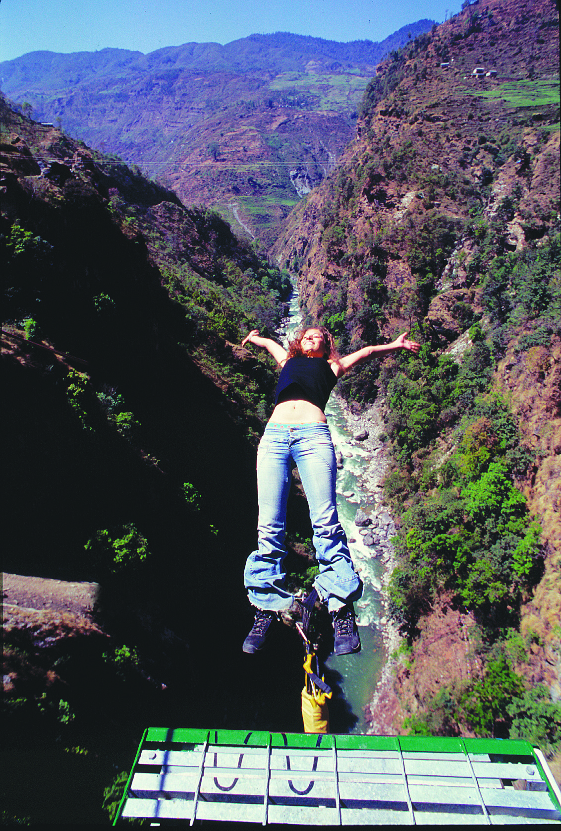
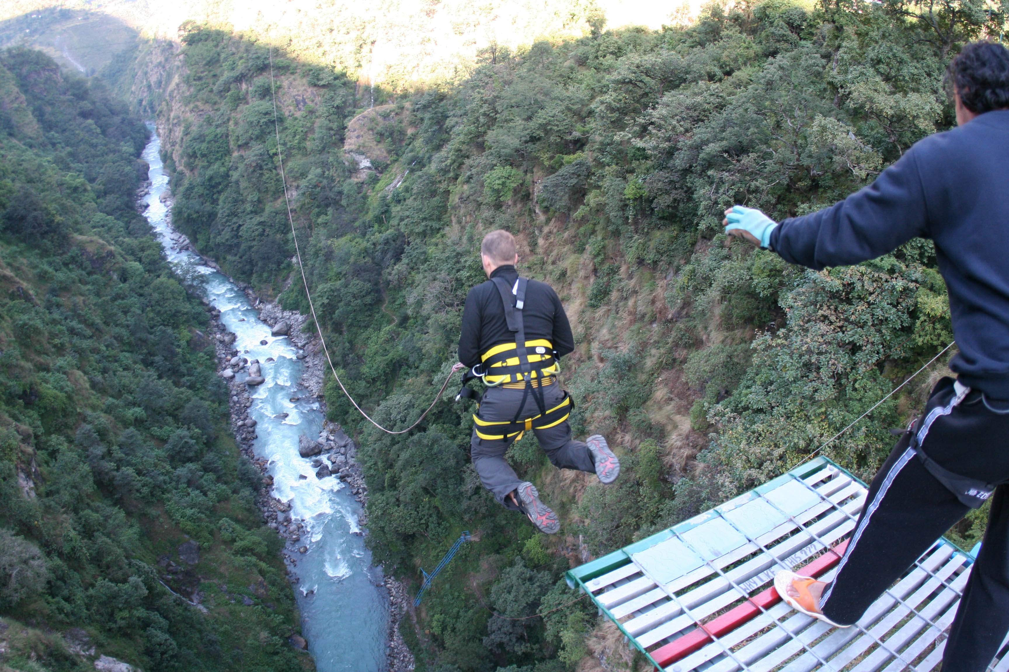
In 2004, a canyon swing was introduced. Jumpers are attached to a cable that is connected to another cable crossing over the gorge. After leaping from the bridge platform, they free fall towards the river before the swing lines take up the tension and you enter a large, semicircular arc of about 787 feet (240 mtrs). The swing was designed by Swiss engineers and constructed by Radha Engineering of Nepal.
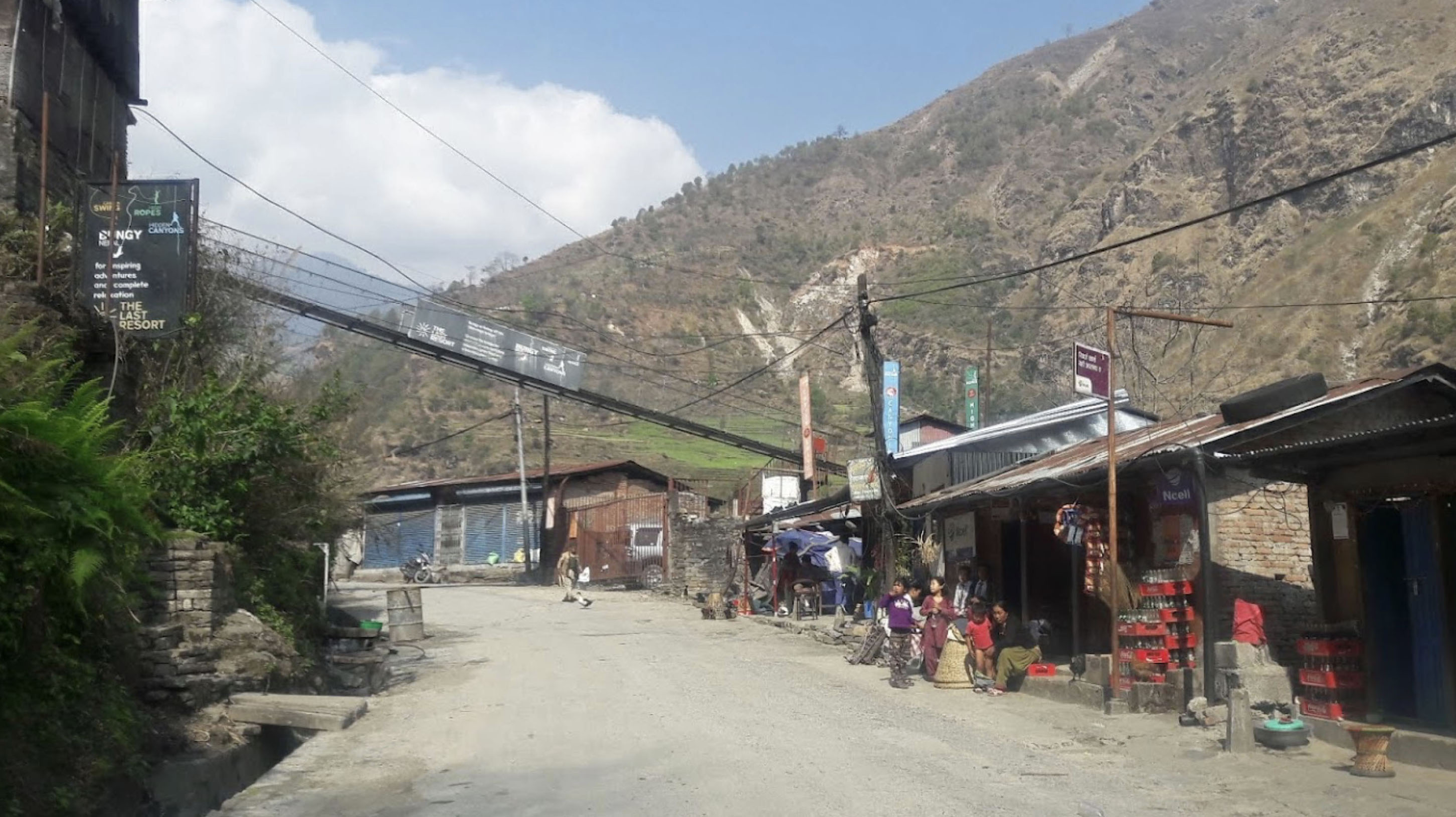
The bridge site is called The Last Resort and also encompasses hiking, rafting and mountain biking as well as overnight stays in a tent. The bridge is located approximately 35 miles northeast of Kathmandu, Nepal and requires a 5 hour round trip drive. For more information, visit their official web site at http://www.bungynepal.com/.
Also be sure to check out these two Youtube videos of the bungee and canyon swings. http://www.youtube.com/watch?v=ZhUCuD6ykzo http://www.youtube.com/watch?v=bt0dKMdzpto
A swing jump was added in 2004.
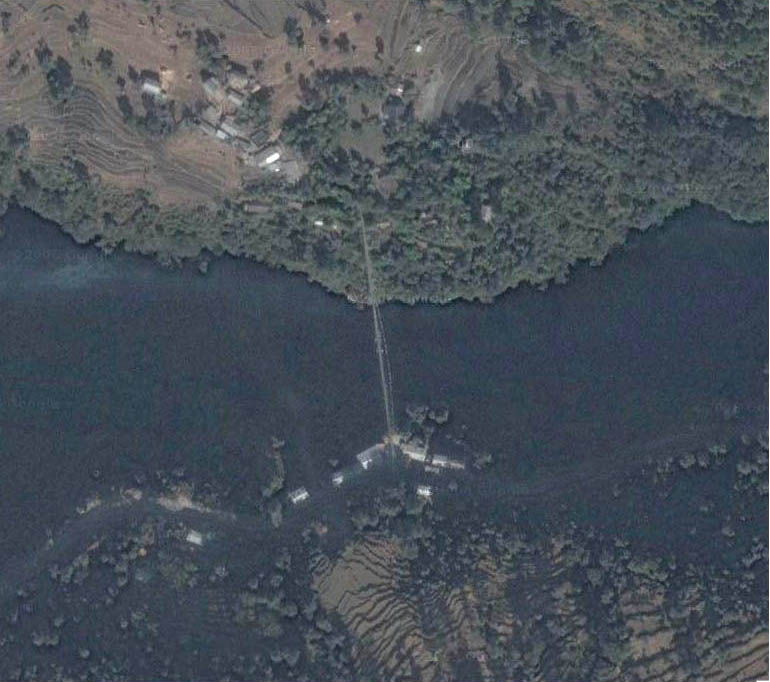
Bhote Kosi Bridge satellite image.
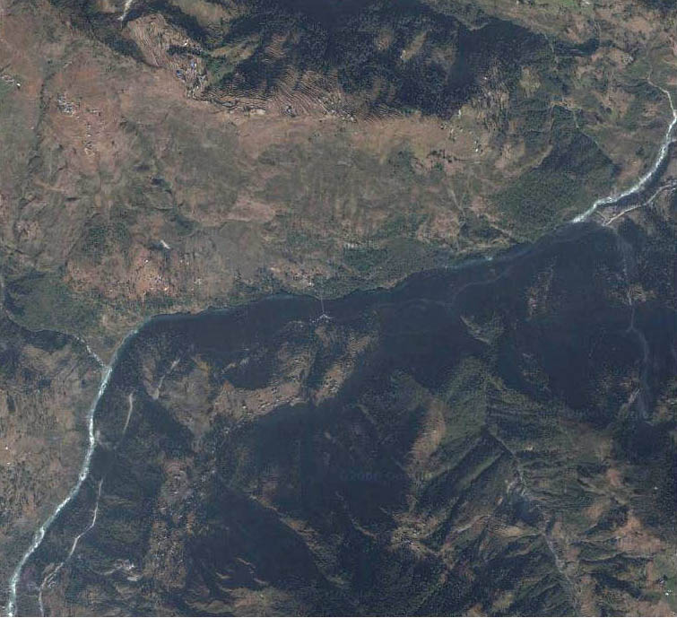
Bhote Kosi Footbridge satellite image. The bridge is barely visible in the center of the image.


