File:Karte der Bahnstrecke Franzensfeste–Innichen By Arbalete.svg.png
From HighestBridges.com
Jump to navigationJump to search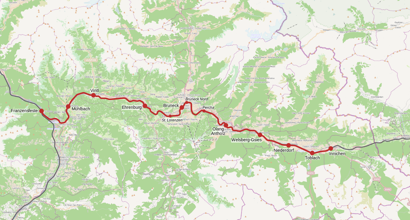
Size of this preview: 800 × 429 pixels. Other resolutions: 320 × 171 pixels | 1,366 × 732 pixels.
Original file (1,366 × 732 pixels, file size: 1.02 MB, MIME type: image/png)
Franzensfeste route location map by Arbalete.
File history
Click on a date/time to view the file as it appeared at that time.
| Date/Time | Thumbnail | Dimensions | User | Comment | |
|---|---|---|---|---|---|
| current | 01:13, 9 August 2020 | | 1,366 × 732 (1.02 MB) | Sakowski (talk | contribs) | Franzensfeste route location map by Arbalete. |
You cannot overwrite this file.
File usage
The following page uses this file: