Mi River Bridge
Mi River Bridge
洣水河大桥
Yanling, Hunan, China
679 feet high / 207 meters high
591 foot span / 180 meter span
2013
The easternmost high bridge on the incredible G76 expressway, the Mi River Bridge crosses a deep, V-shaped gorge between 2 mountain tunnels.
Construction of the two separate viaducts was achieved by a 710 meter long highline that was anchored on the mountain tops on either side of the canyon at elevation points 837 and 811 meters above a river level of just 500 meters. The bridge has an overall length of 541 meters and a maximum pier height of 143 meters. A temporary footbridge was also built to assist construction workers with a span of 173 meters.
Although the G76 Xiamen–Chengdu Expressway may not have any super high bridges that exceed 300 meters in height, no other roadway on earth has as many bridges that exceed 90 meters in height with the total count exceeding 15 with more to come before construction is finally completed on the 2,192 kilometer expressway in 2015. The expressway's largest and most famous bridge is the gargantuan Chishi Viaduct located several kilometers to the west of the Mi River Bridge. The east-west expressway threads through 6 provinces with most of the high bridges located in Guizhou.
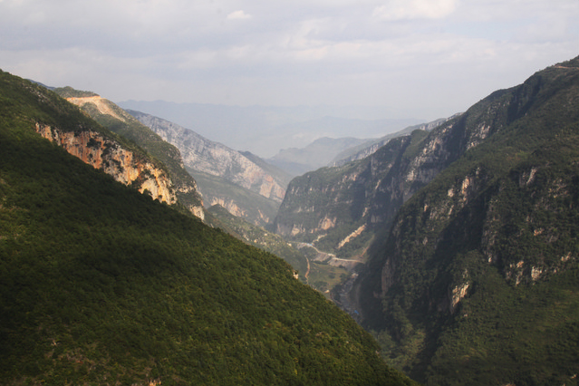
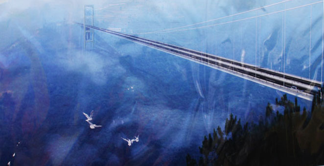
The official photo and computer rendition above shows how the bridge would look if it crossed over the Gexiang River gorge. The bridge will actually cross the above view 90 degrees adjacent by coming straight from the left side slope and directly towards you. The Puli River is a tributary of the Gexiang and is hidden below the view of the camera.
A clean view of the Gexiang River gorge. The cameraman is standing on the approximate location of the Puli Bridge west tower while the east tower will be on the green slope on the left side. If the Gexiang River were to be crossed by a suspension bridge it would likely be more then 500 meters high!
Another early computer rendering of the Puli Bridge.
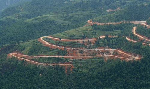
In 2011 a series of construction roads were created to access the foundation of one of the bridge towers. Construction of the bridge began in 2012.
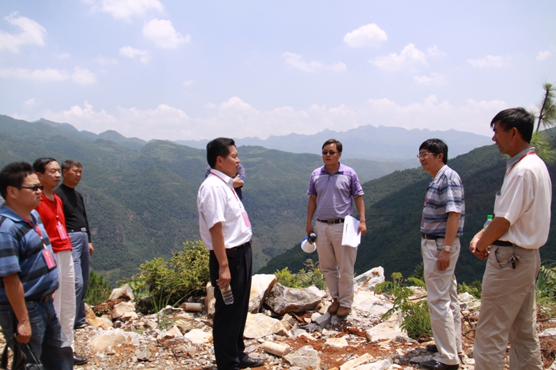
A group of Yunnan engineers visit the east slope of the bridge site in 2011.
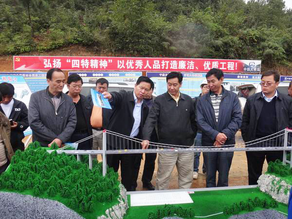
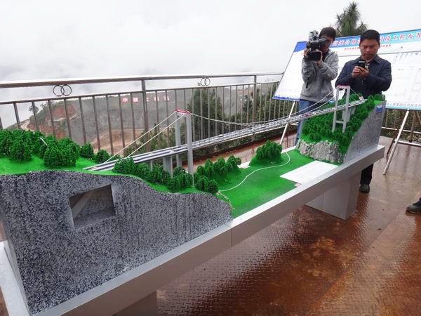
A group of Chinese engineers discuss the bridge design. The simplified terrain below the model does not show the full height of the V-shaped valley.
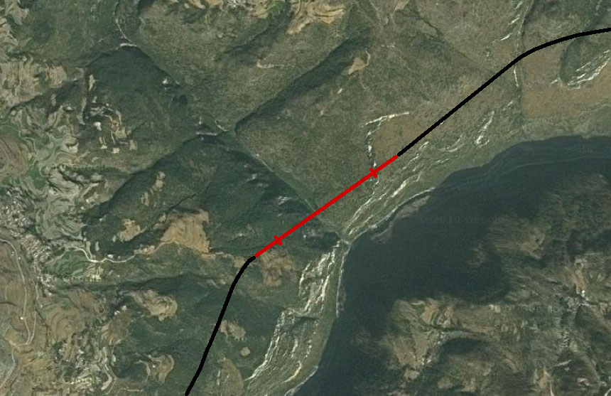
Puli Bridge satellite image with bridge and highway drawn in. Note how the bridge crosses the Puli River just before it empties into the Gexiang River that flows off to the right. The Puli River likely tumbles down a waterfall-like cascade for the last 100 meters of descent before it blends into the Gexiang River.
