Maling Gorge Arch Bridge
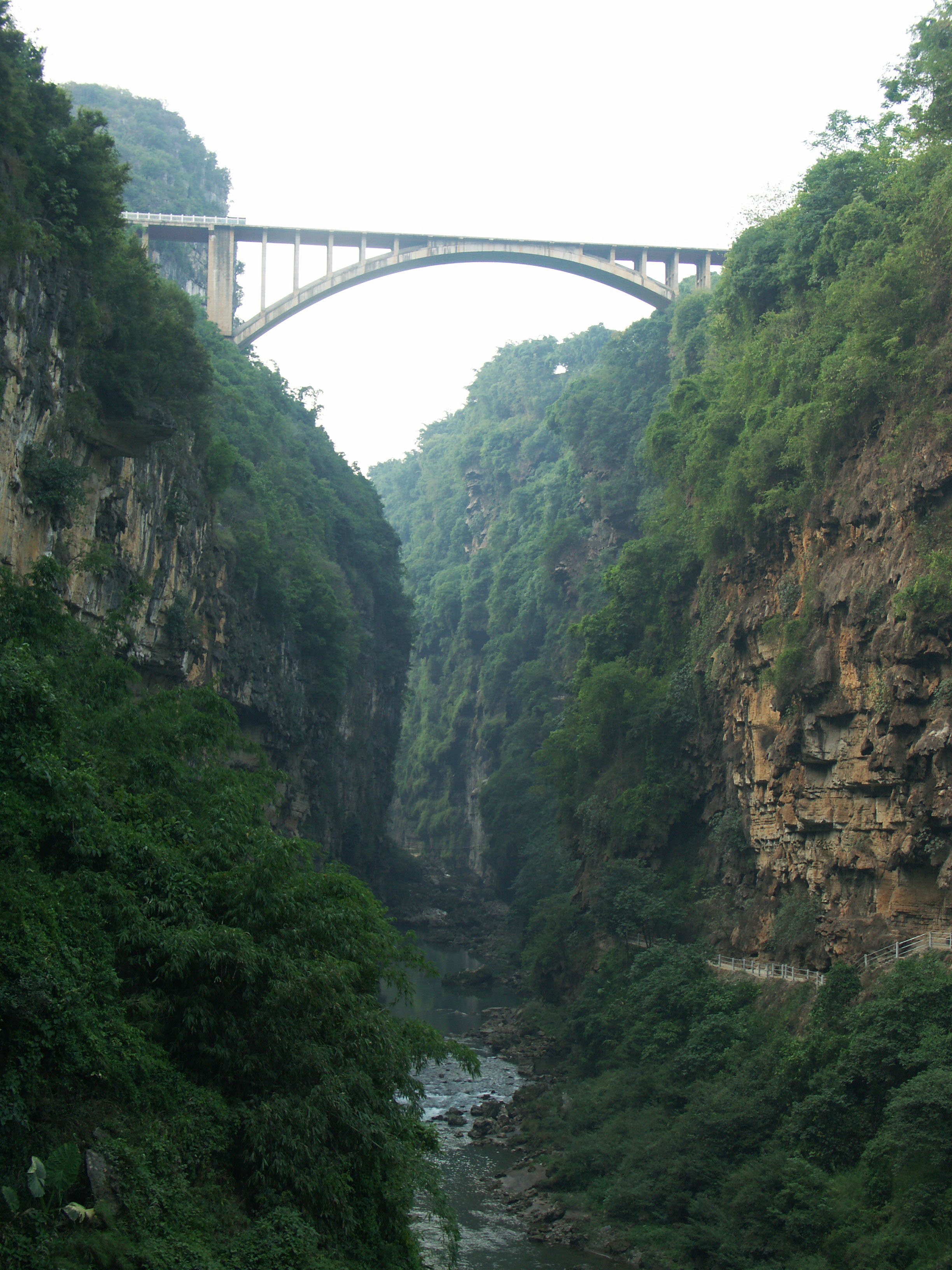
Maling Gorge Arch Bridge
马岭河拱桥
Xingyi, Guizhou, China
470 feet high / 143 meters high
(328) foot span / (100) meter span
????
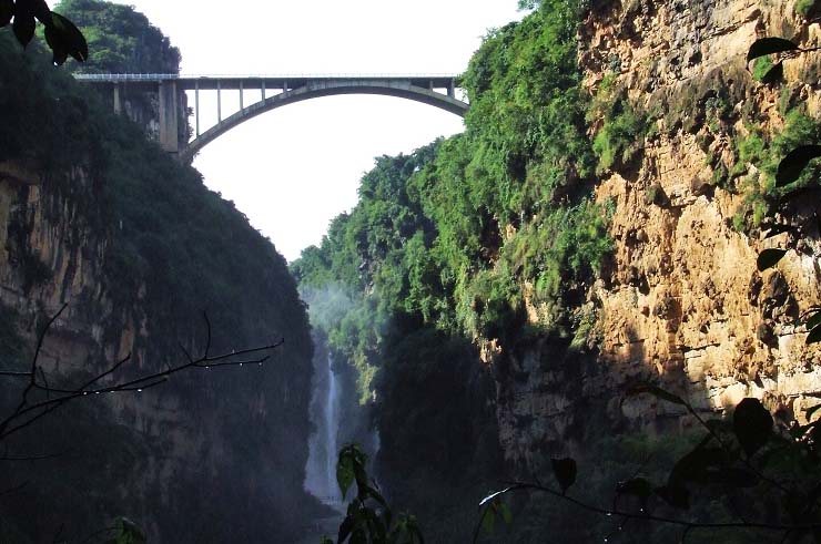
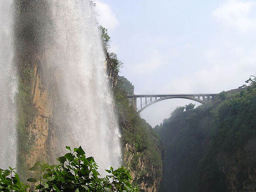
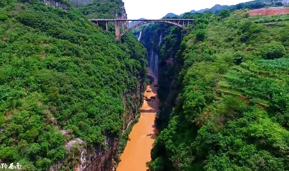
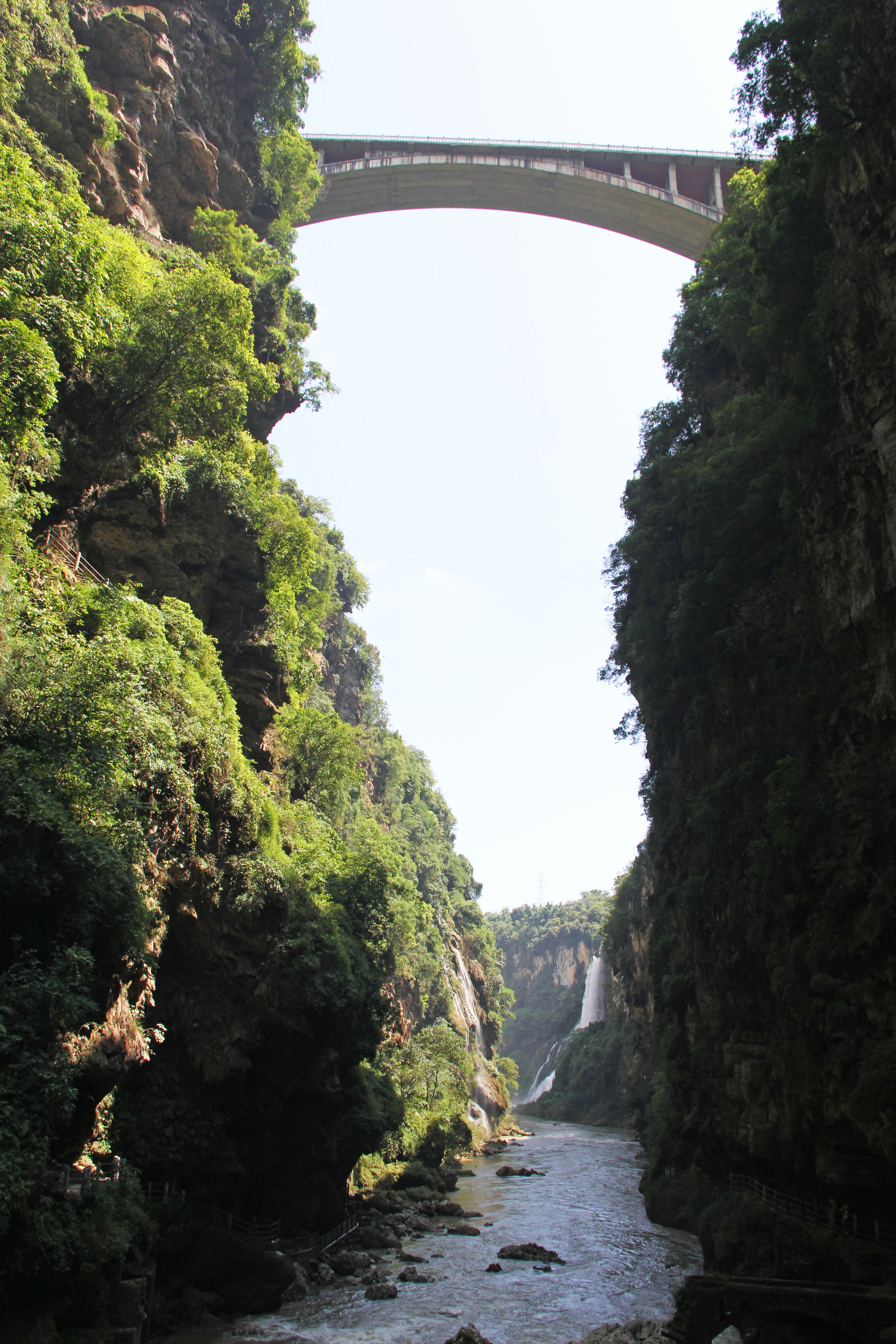
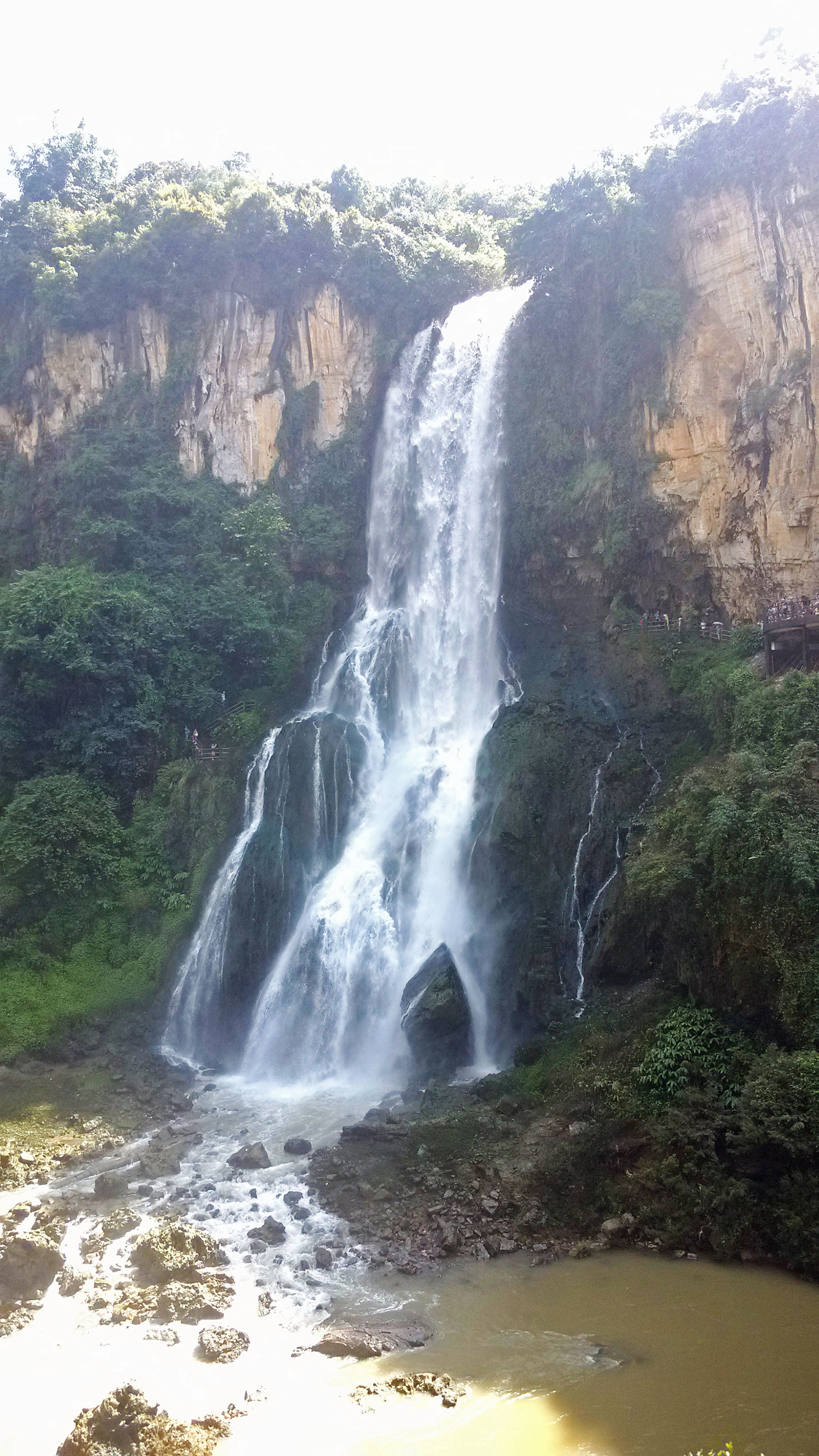
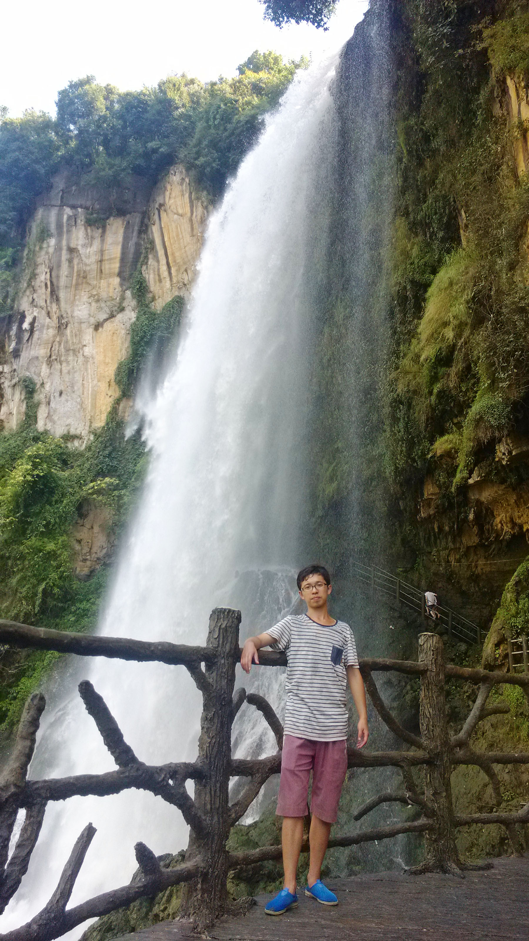
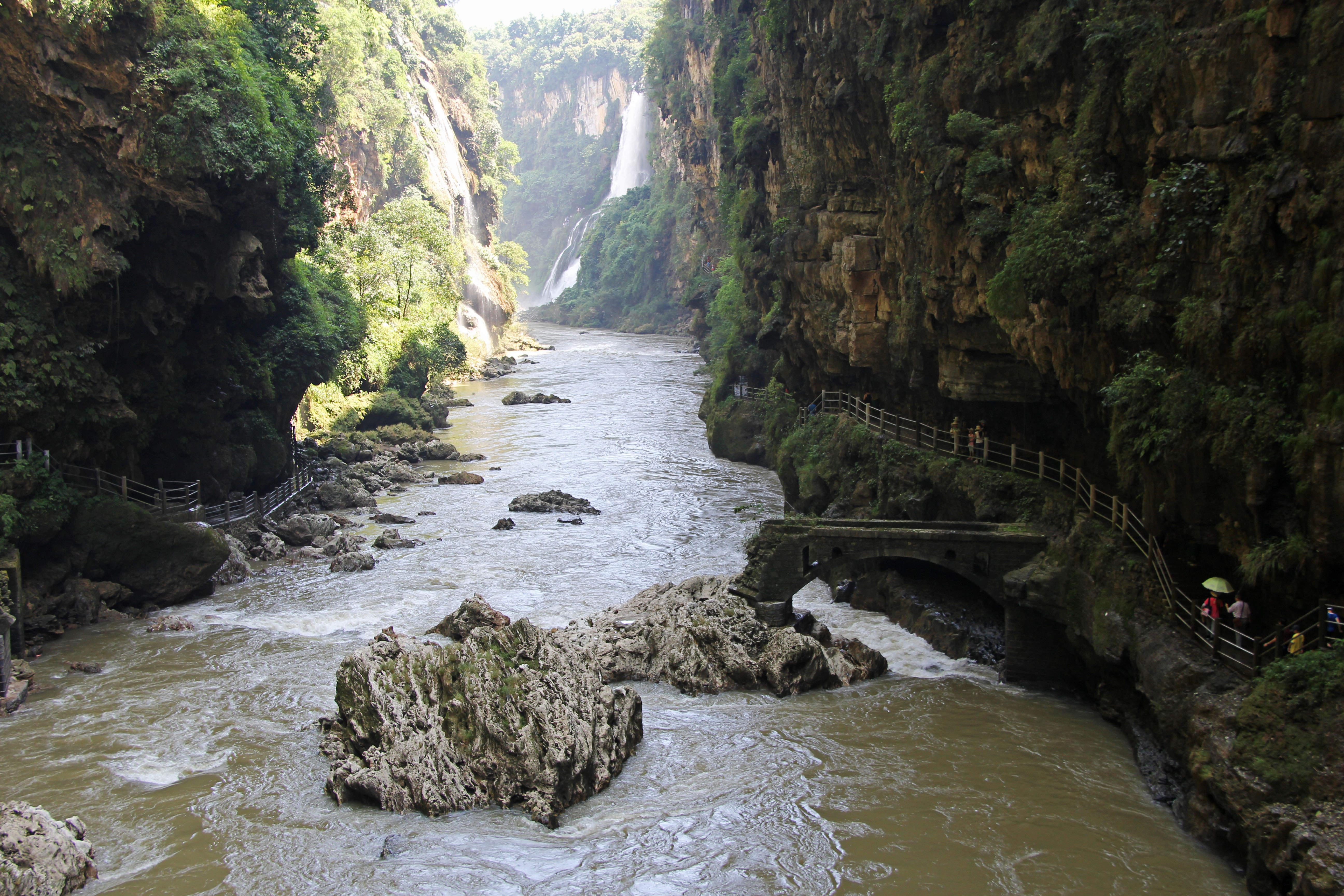
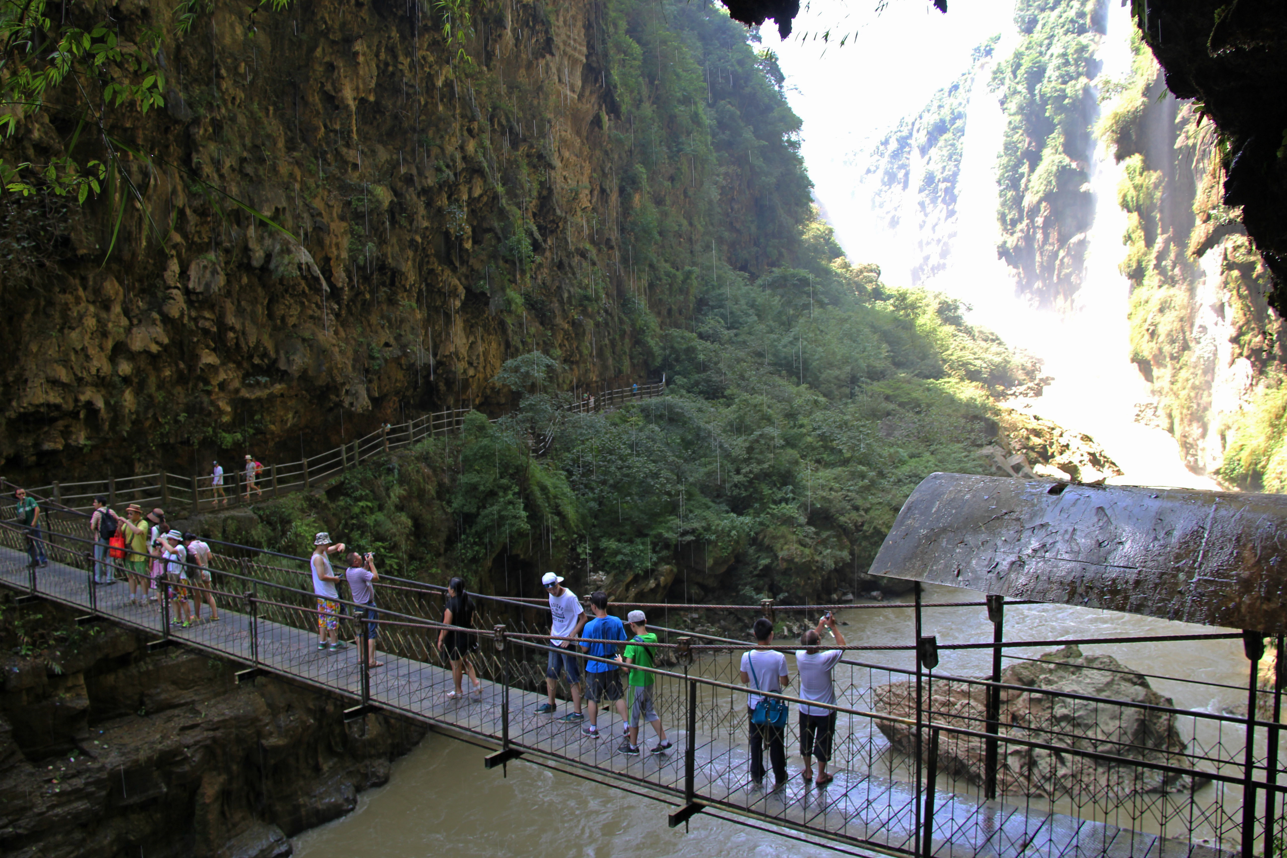
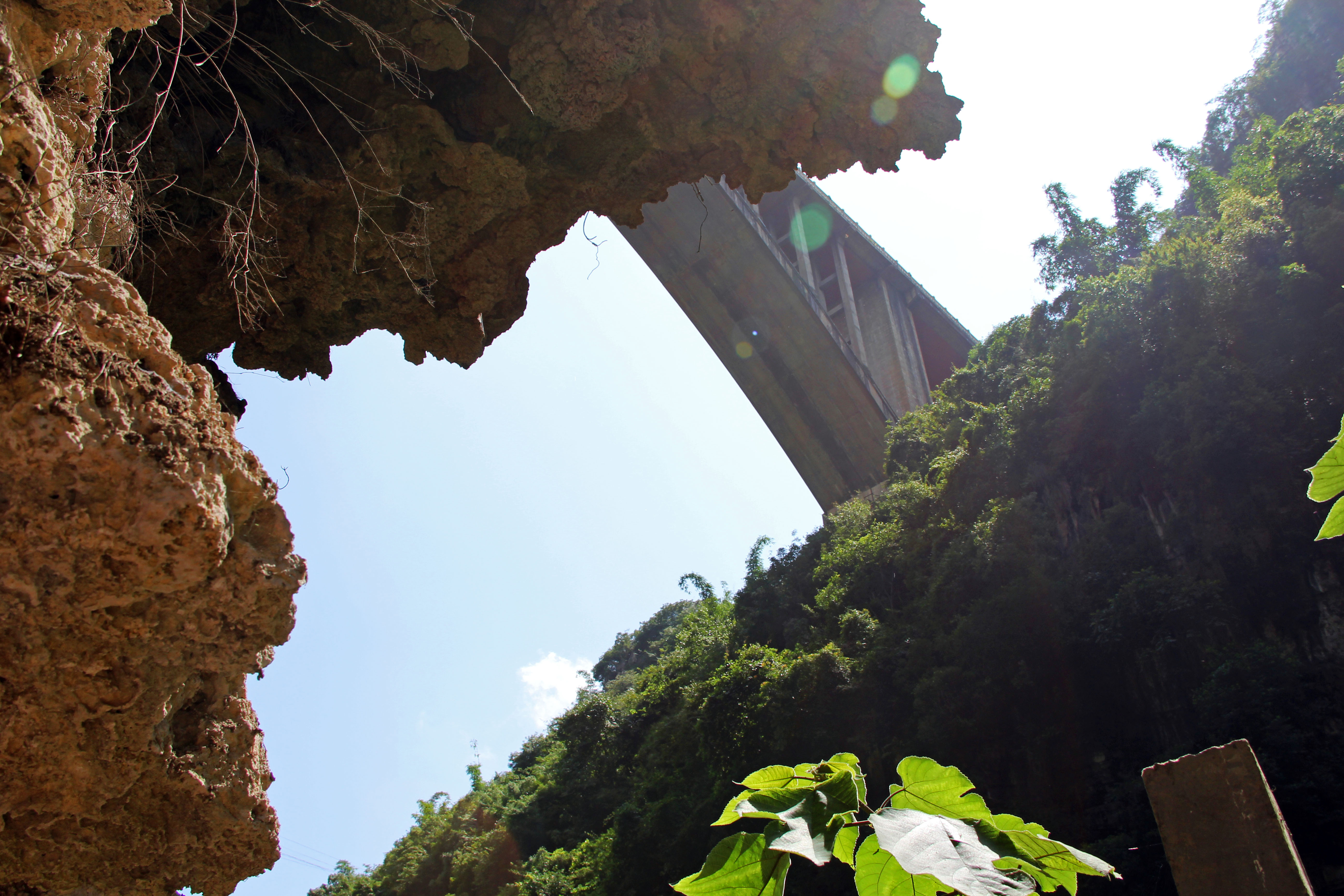
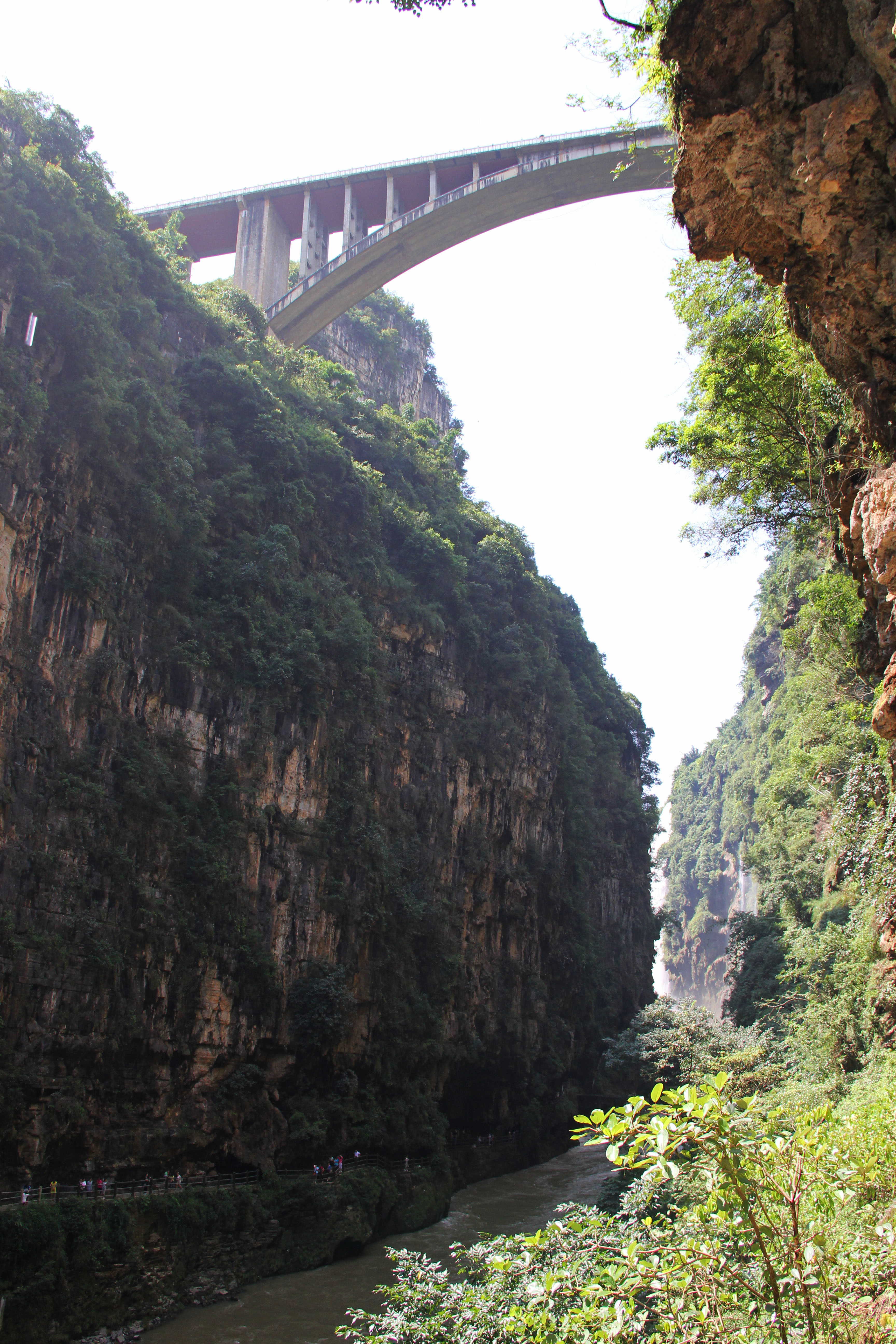
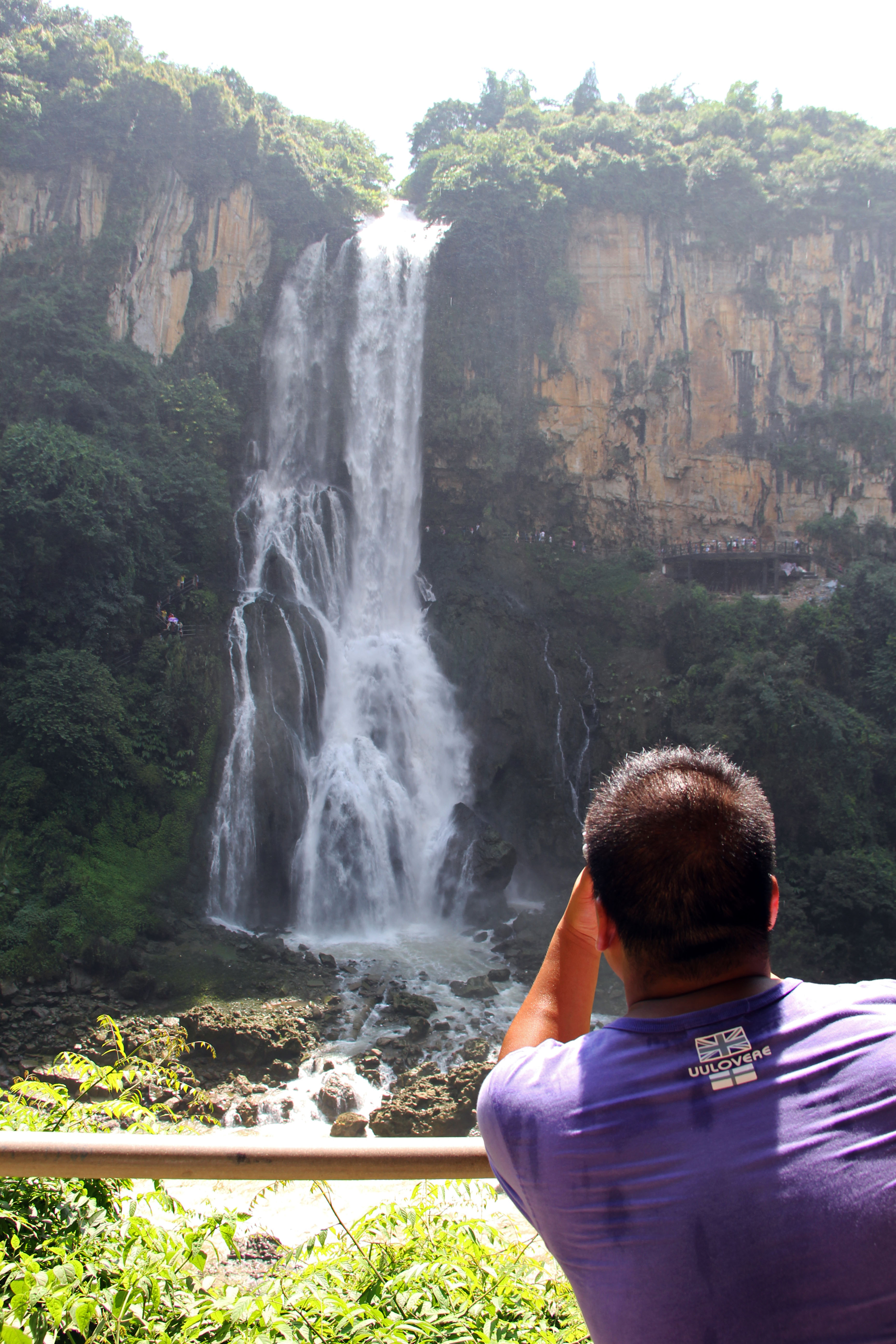
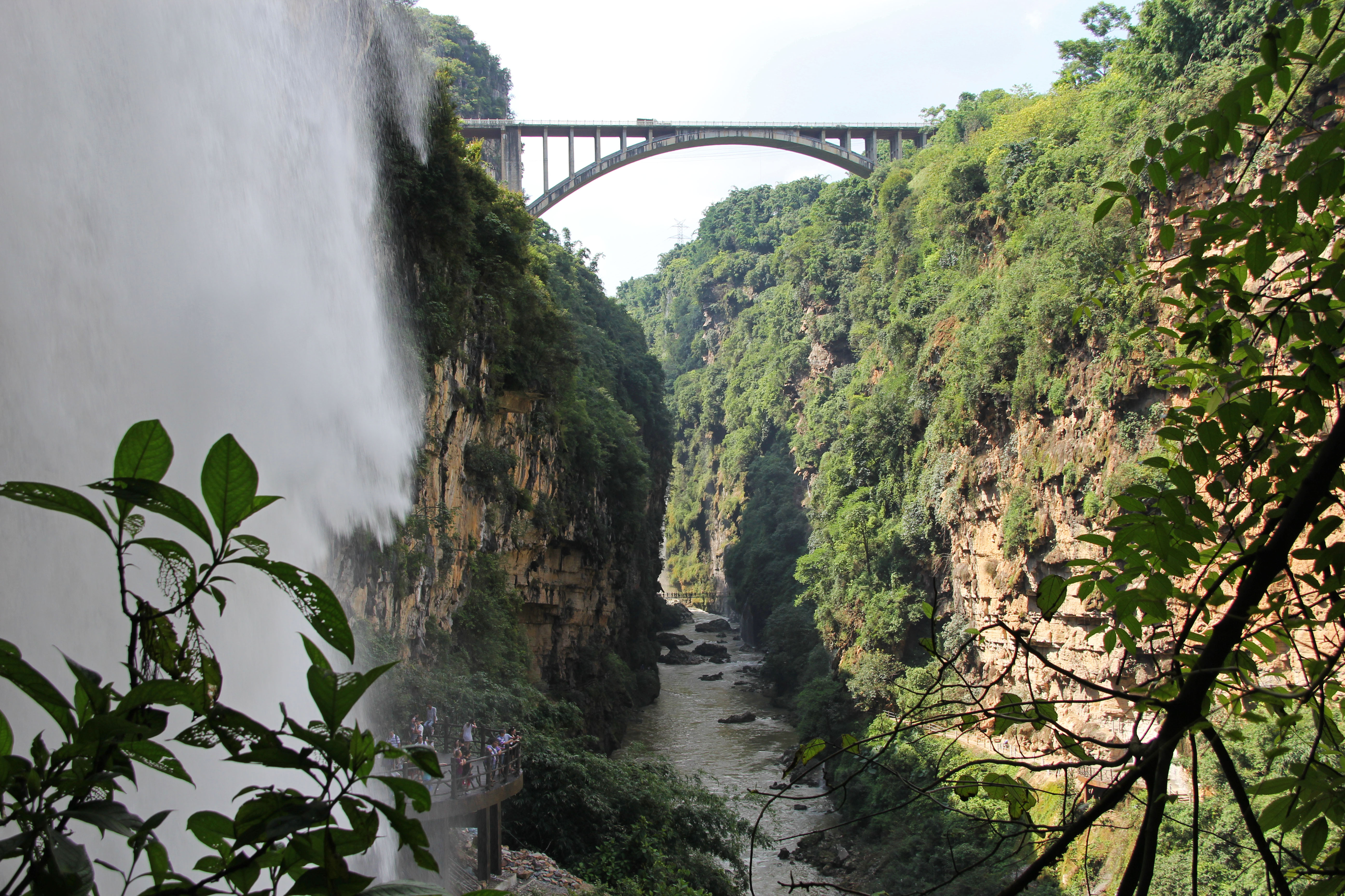
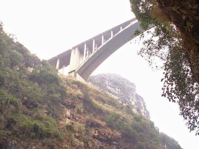
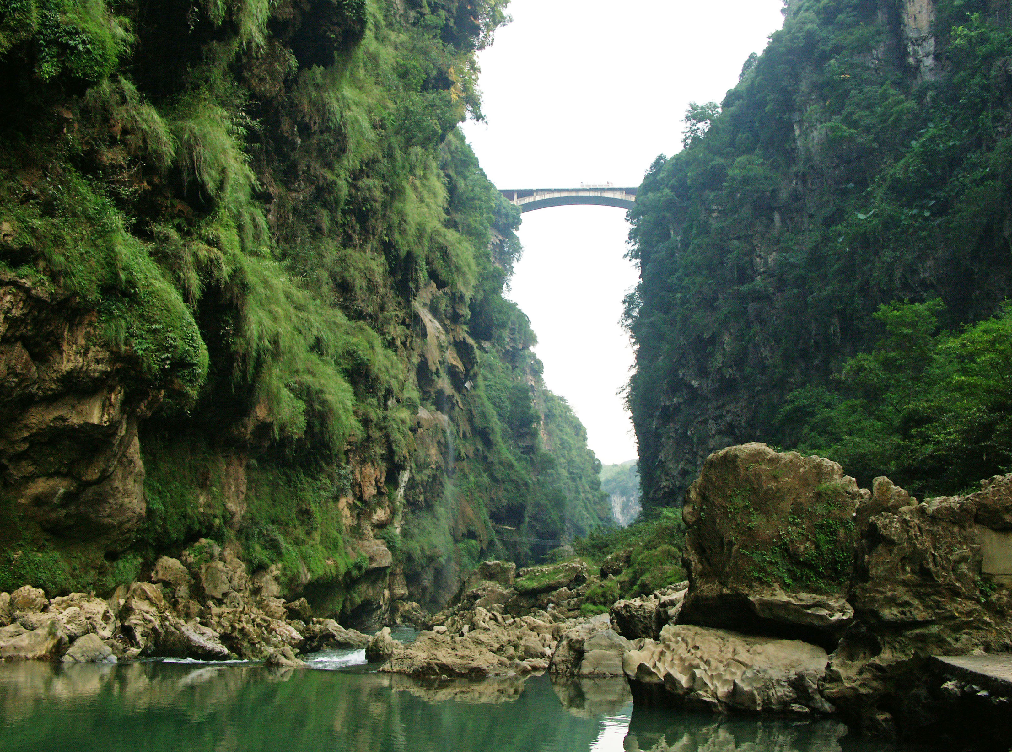
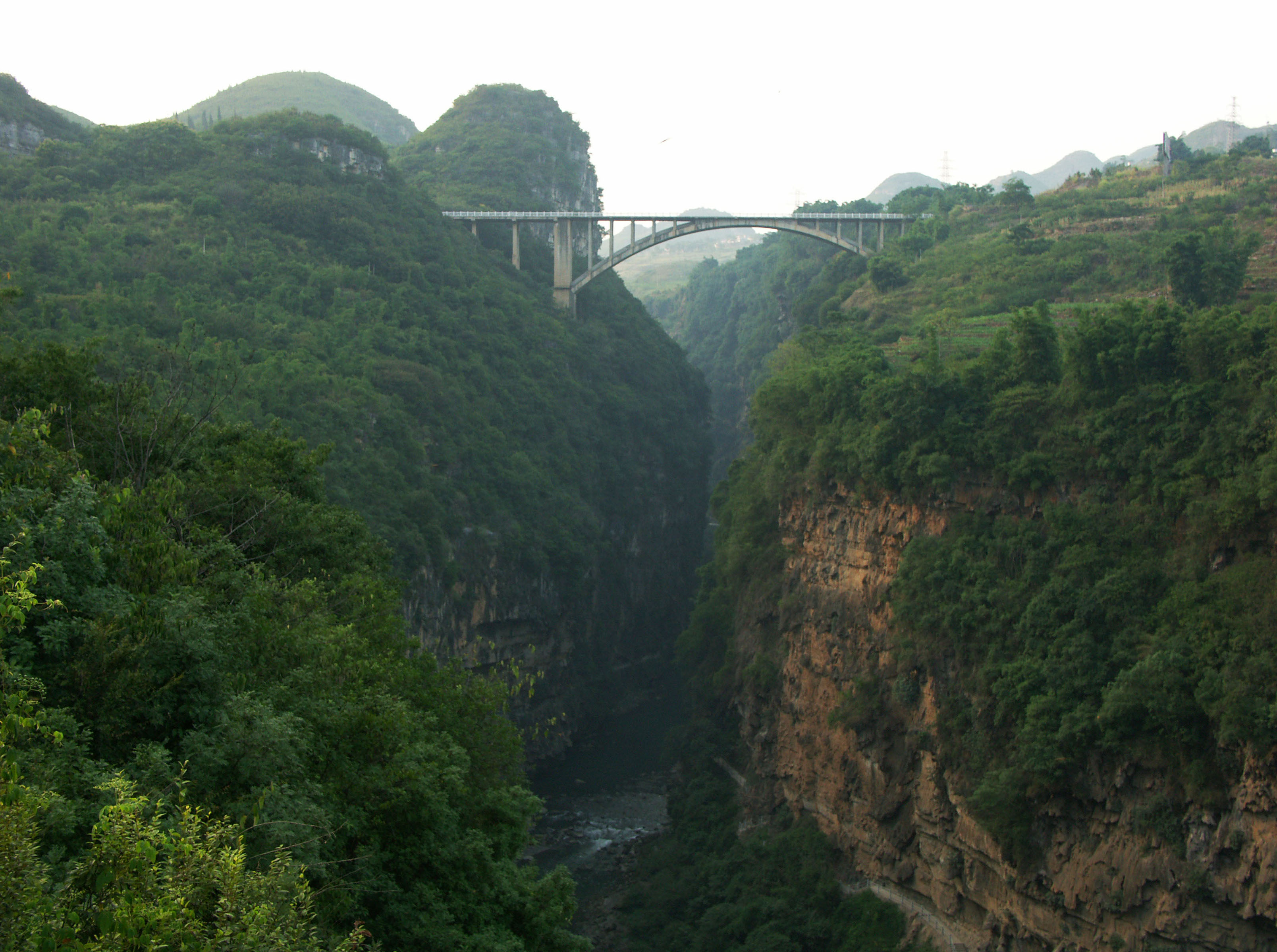
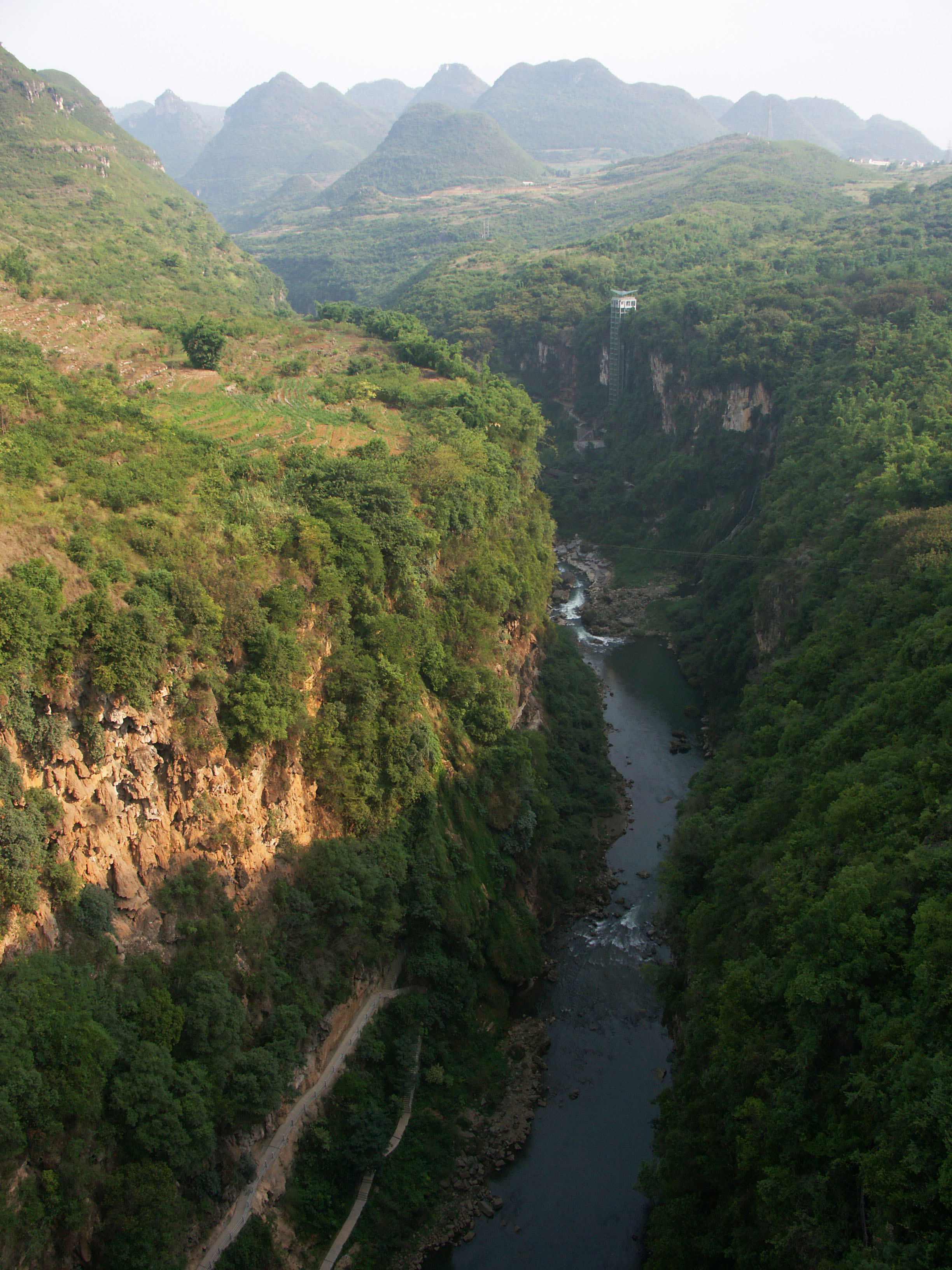
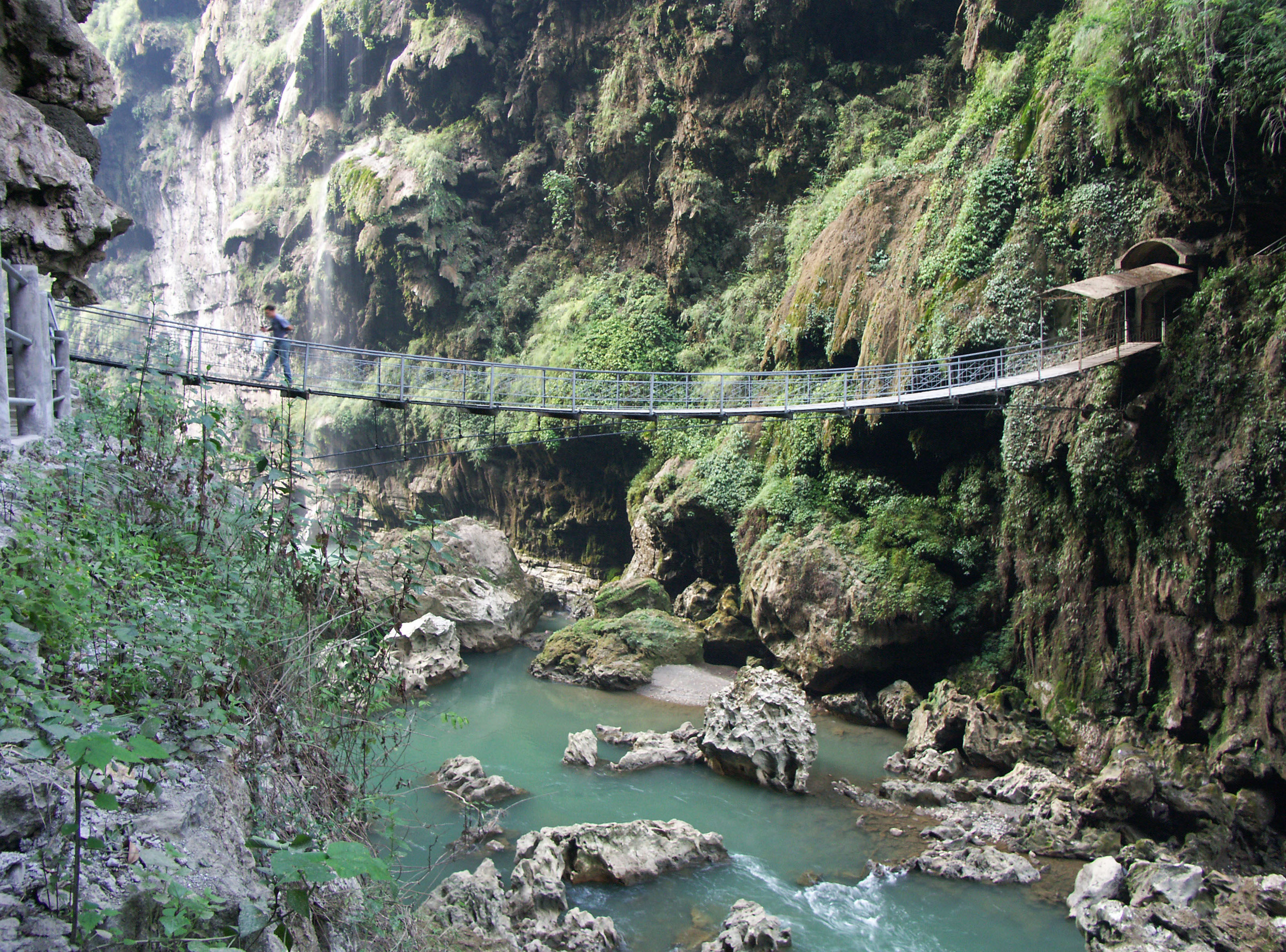
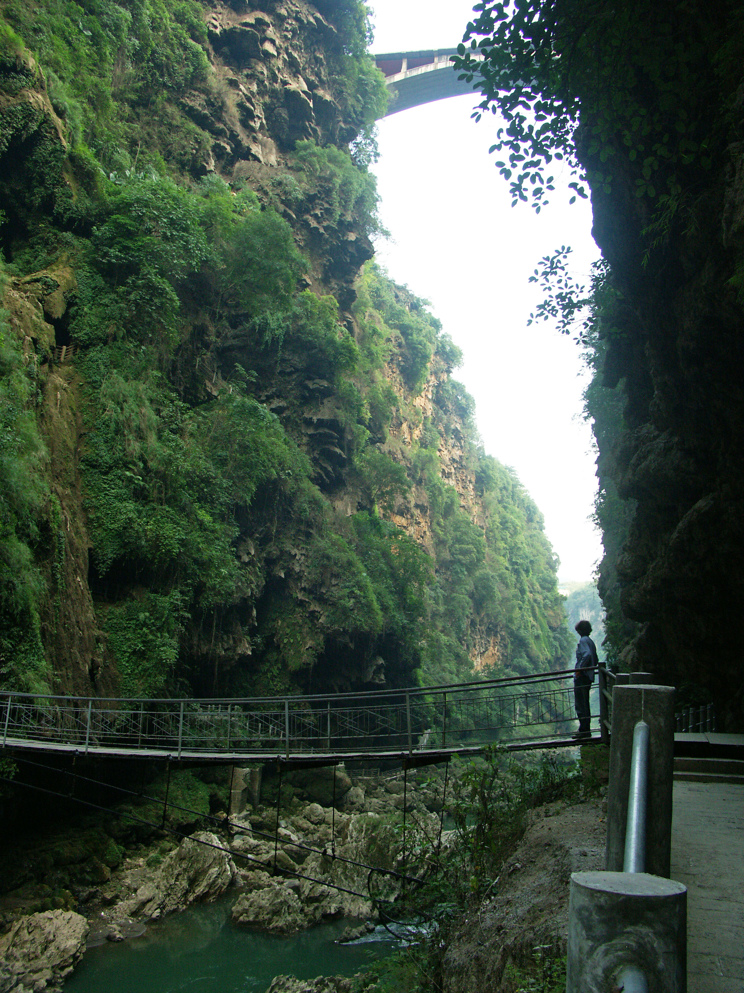
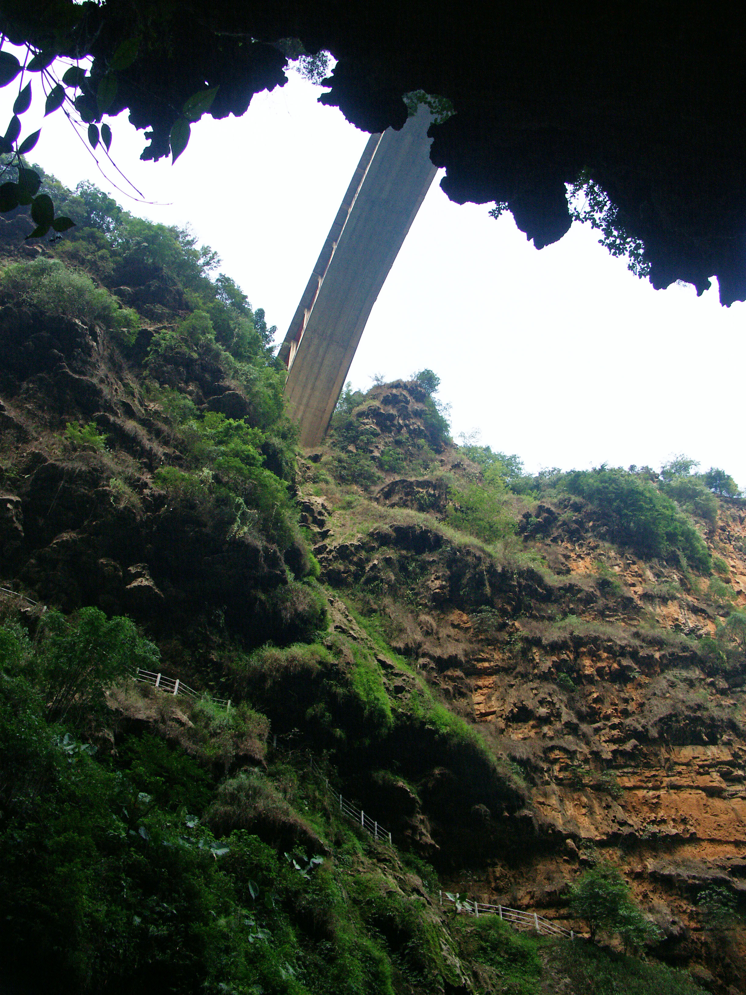
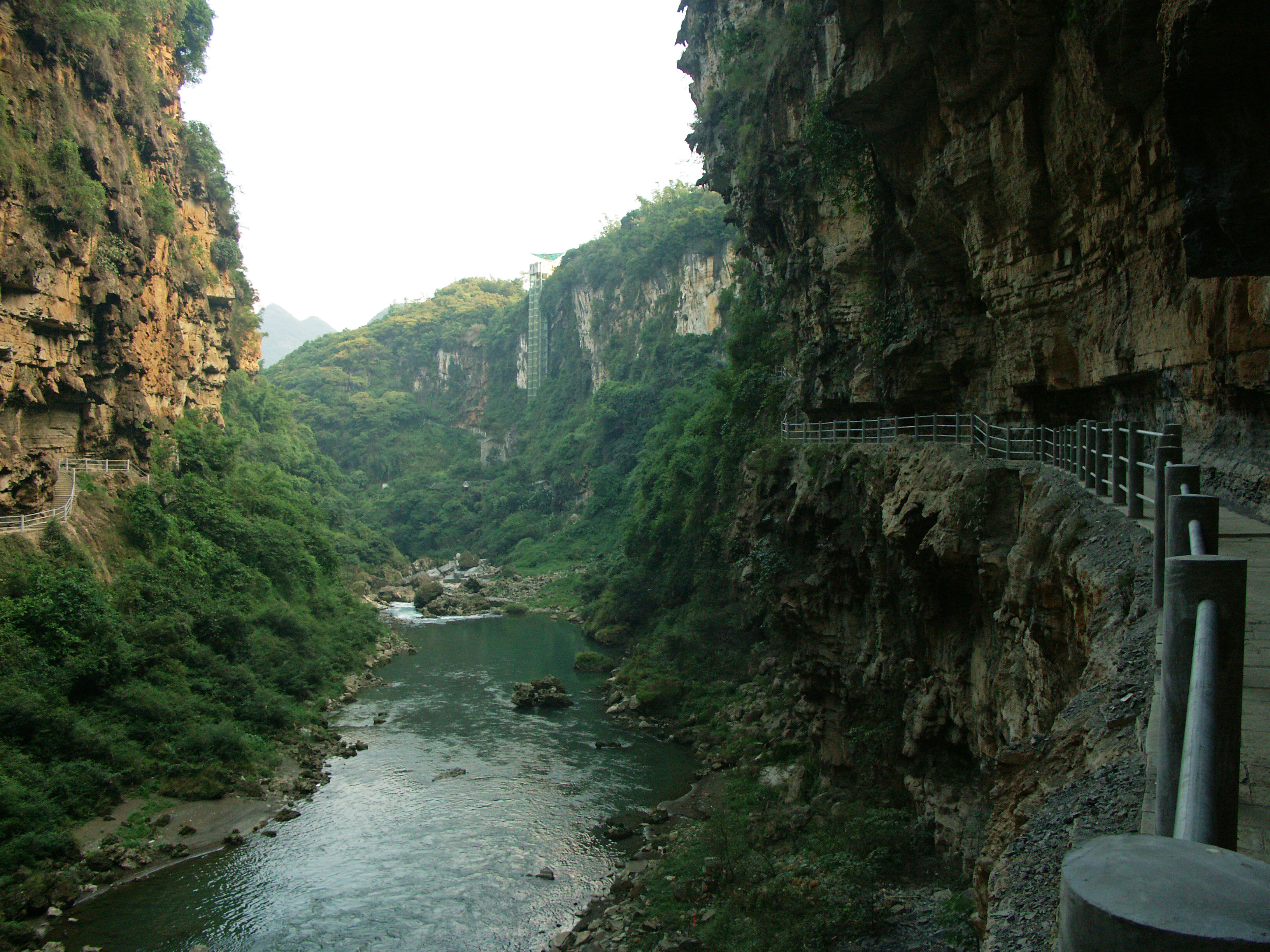
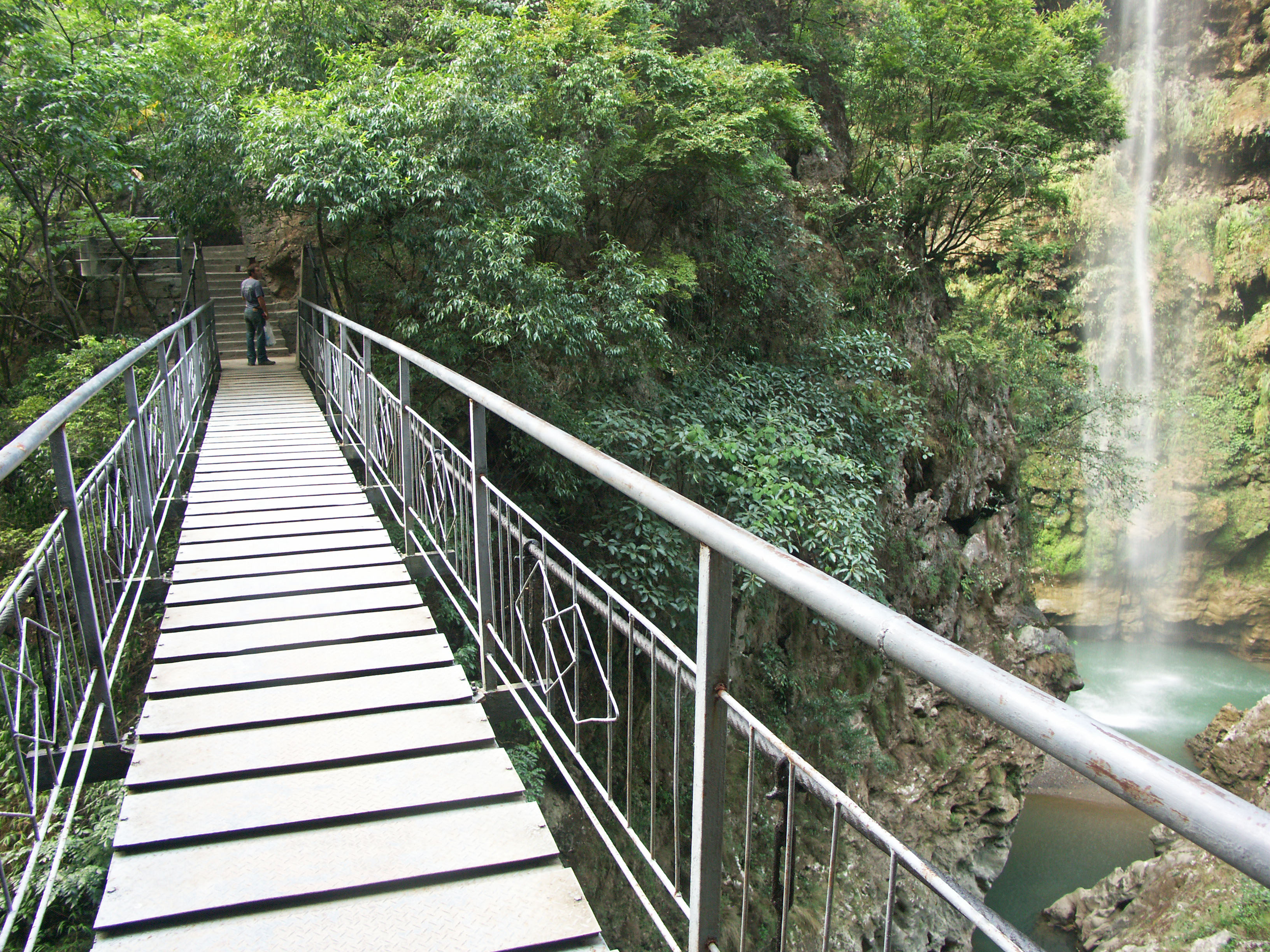
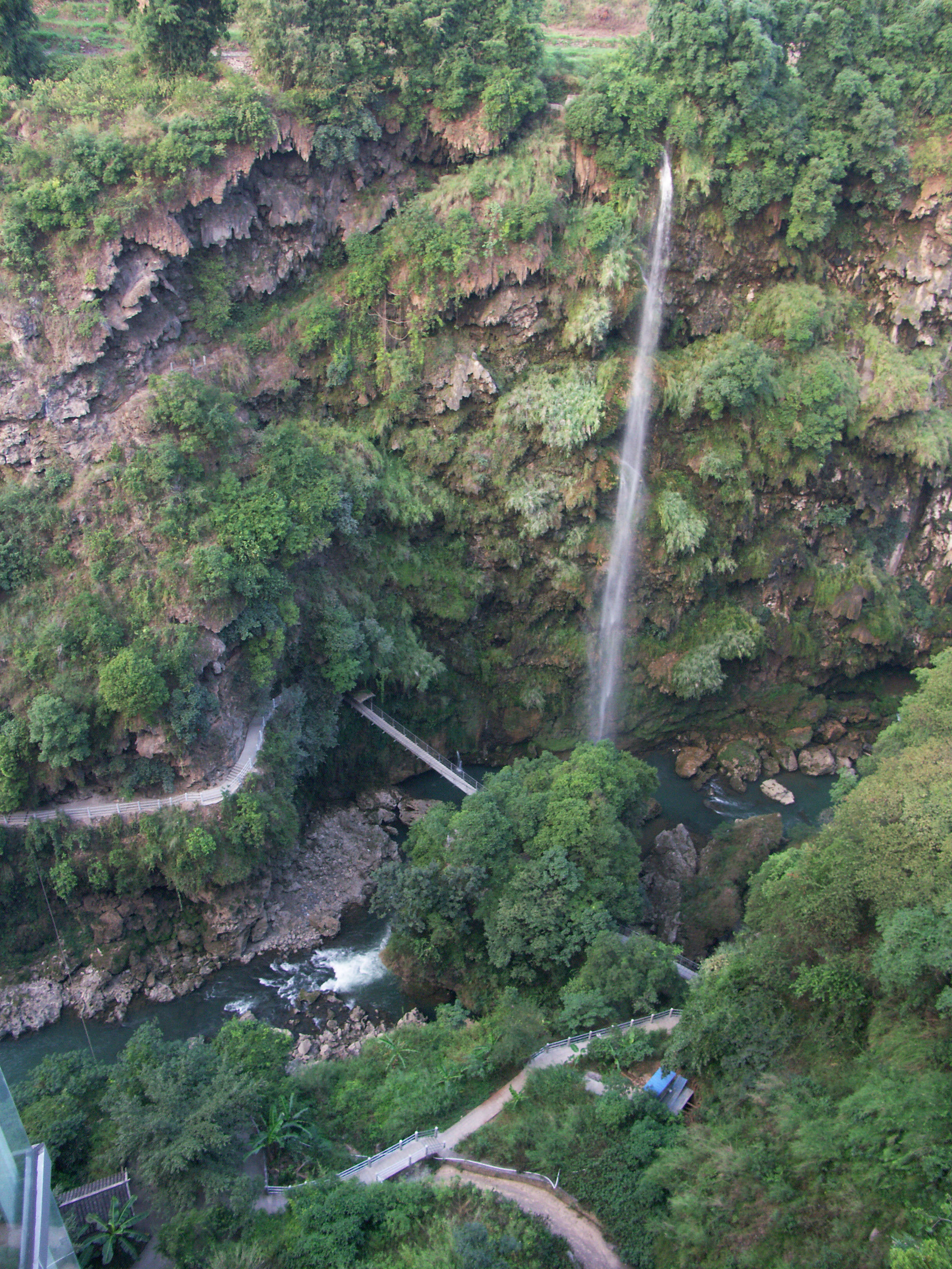
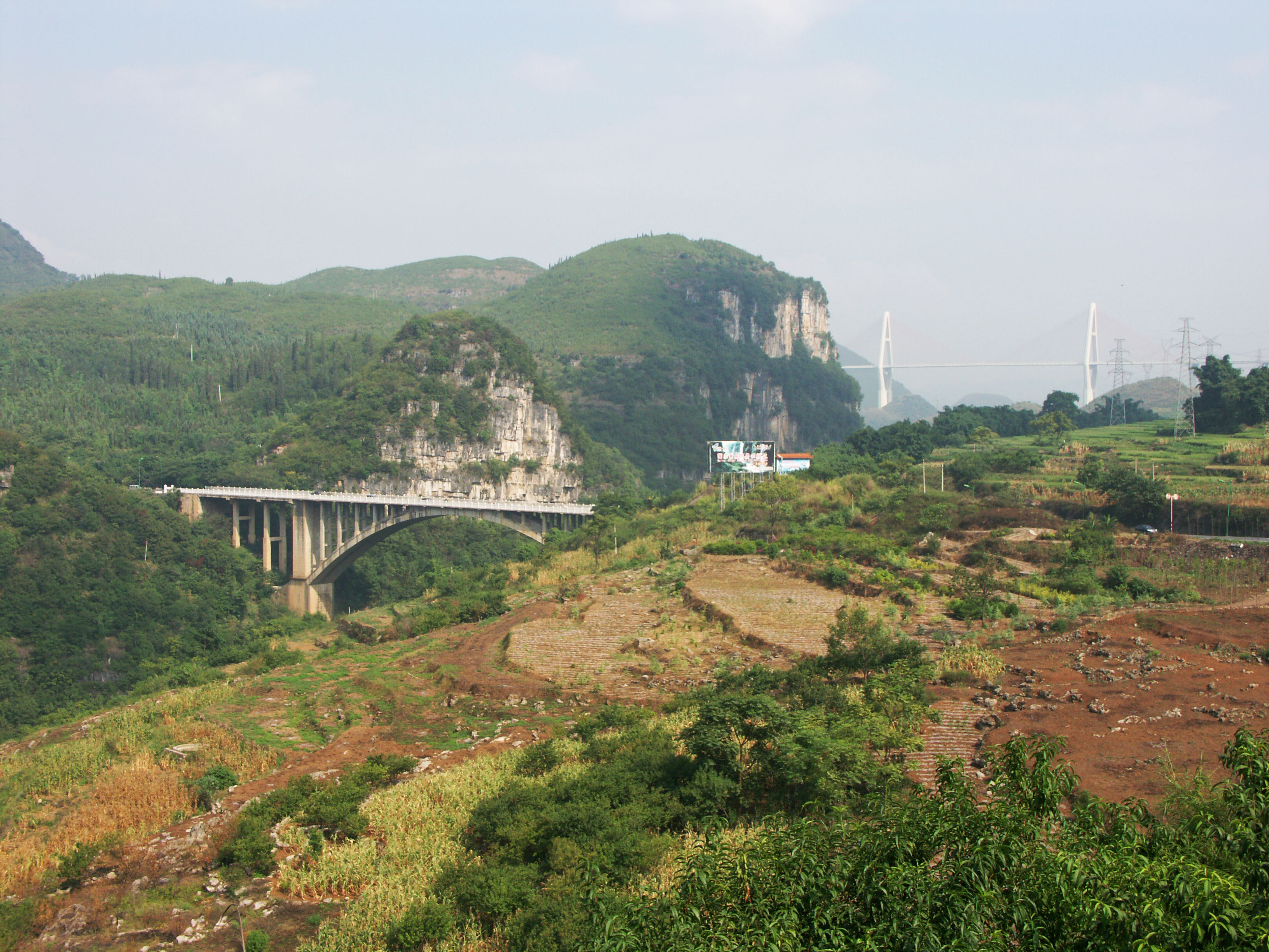
The first high bridge to cross the Maling River gorge, this concrete arch bridge is located over one of the most beautiful and scenic waterways in all of China. The remote Maling River gorge slices across a high plateau in western Guizhou Province near the border with Yunnan province. Dozens of waterfalls cascade into the gorge from cliffs more than 328 feet (100 meters) high. Hiking paths and an elevated walkway descend into the gorge, allowing tourists to view the stunning effects of water erosion. Rock formations that look like mushrooms or tapestries hang over portions of the walkway. In 1994 Maling gorge was declared an official National Scenic Spot. The river is also one of the most popular places in Guizhou province for canoeing, kayaking and rafting.
The concrete arch bridge was followed in 2009 by the even more spectacular Malinghe cable stayed bridge. Marching across the river plain on a series of unusually tall approaches, the 4-lane highway bridge leaps across the deep river chasm in a single span of 1,181 feet (360 meters). The road deck hangs from two planes of cable stays supported on two A-frame towers. One of the towers was built behind a tall but apparently unstable mini-mountain that rises 200 feet (61 mtrs) or so from the surrounding terrain before dropping vertically into the Malinghe River gorge.
There are very basic hotel accommodations about 6 miles (10 kilometers) away in the city of Xingyi. You can reach Xingyi on a day long bus ride from Yunnan’s capital city of Kunming or Guizhou’s capital city of Guiyang.
马岭河大峡谷之上第一座高桥,这座混凝土拱桥位于全中国最美丽、最秀丽的水路之一的河流之上。地处偏远的马岭河大峡谷贯穿了贵州省在比邻与云南省的高原。众多的瀑布从悬崖之上100米以上的高度倾泻而下汇入峡谷。登山路径和高高的栈道深入峡谷之中,让游人们可以一睹水滴石穿的奇迹。貌似蘑菇或者挂毯的岩石矗立在山路上的许多地段。1994年的时候,马岭河大峡谷被认定为国家级风景名胜景区。马岭河还是贵州省最著名的漂流景点之一。
这座混凝土拱桥之后,在2009年紧接着就建设了更加雄伟的马岭河斜拉桥。在马岭河流域延伸向前建成许多的高高的引桥之后,这座4车道的公路桥以一跨360米跨越深深的峡谷。桥面系由两座A型主塔上的双索面拉索支撑。其中一座主塔位建在一座高、但显然并不稳定山丘之后的地方,这座小山高于在笔直的滑入马岭河大峡谷之前,比附近地面61米左右。
在大桥附近6英里(10公里)不远处的兴义市,有一些宾馆等旅游接待设施。从云南省会昆明或者贵州省会贵阳出发乘车一天,就可抵达兴义。
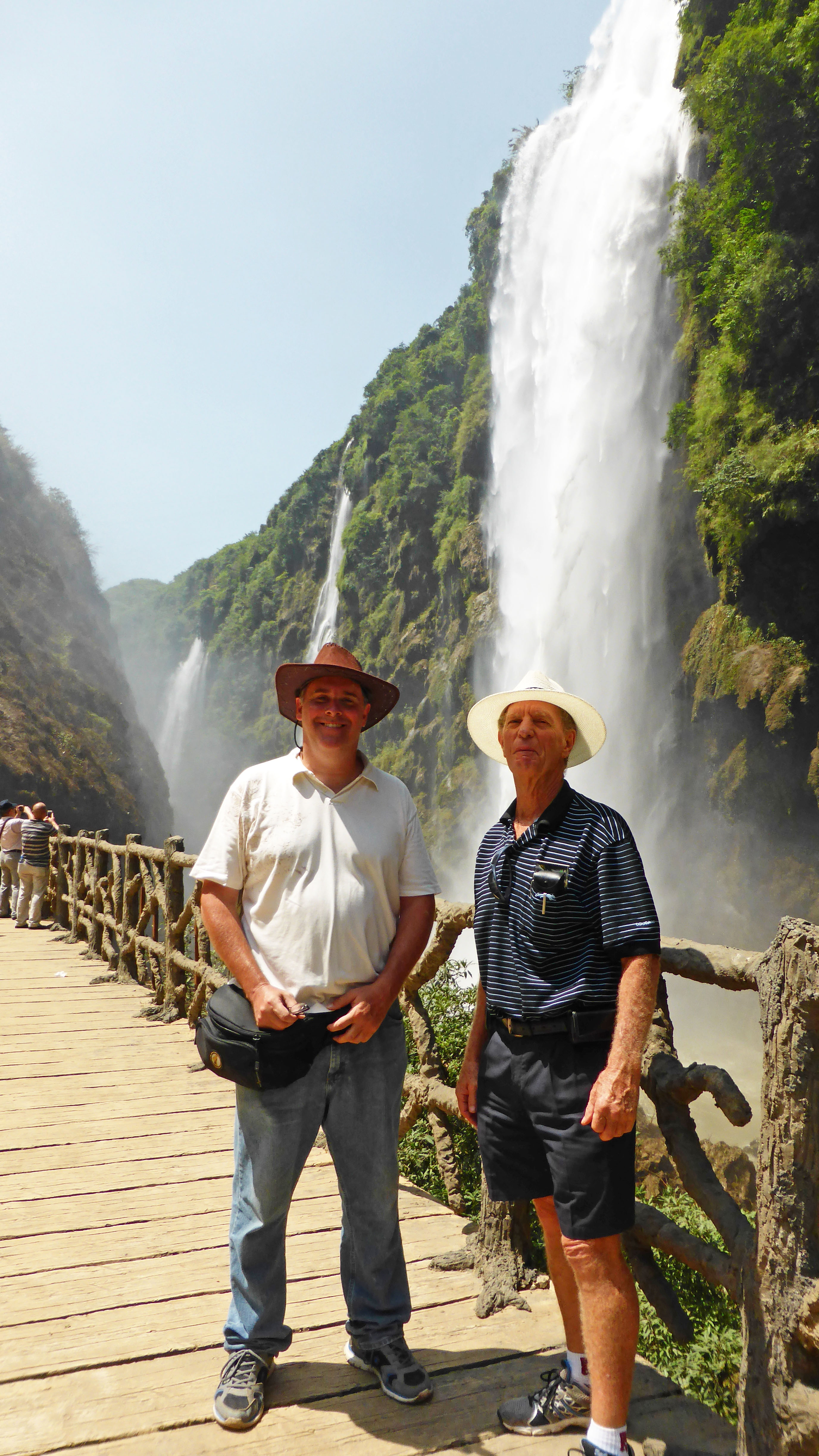
The amazing waterfalls of the Maling River gorge were at full volume in this view. Image by John Filmer.
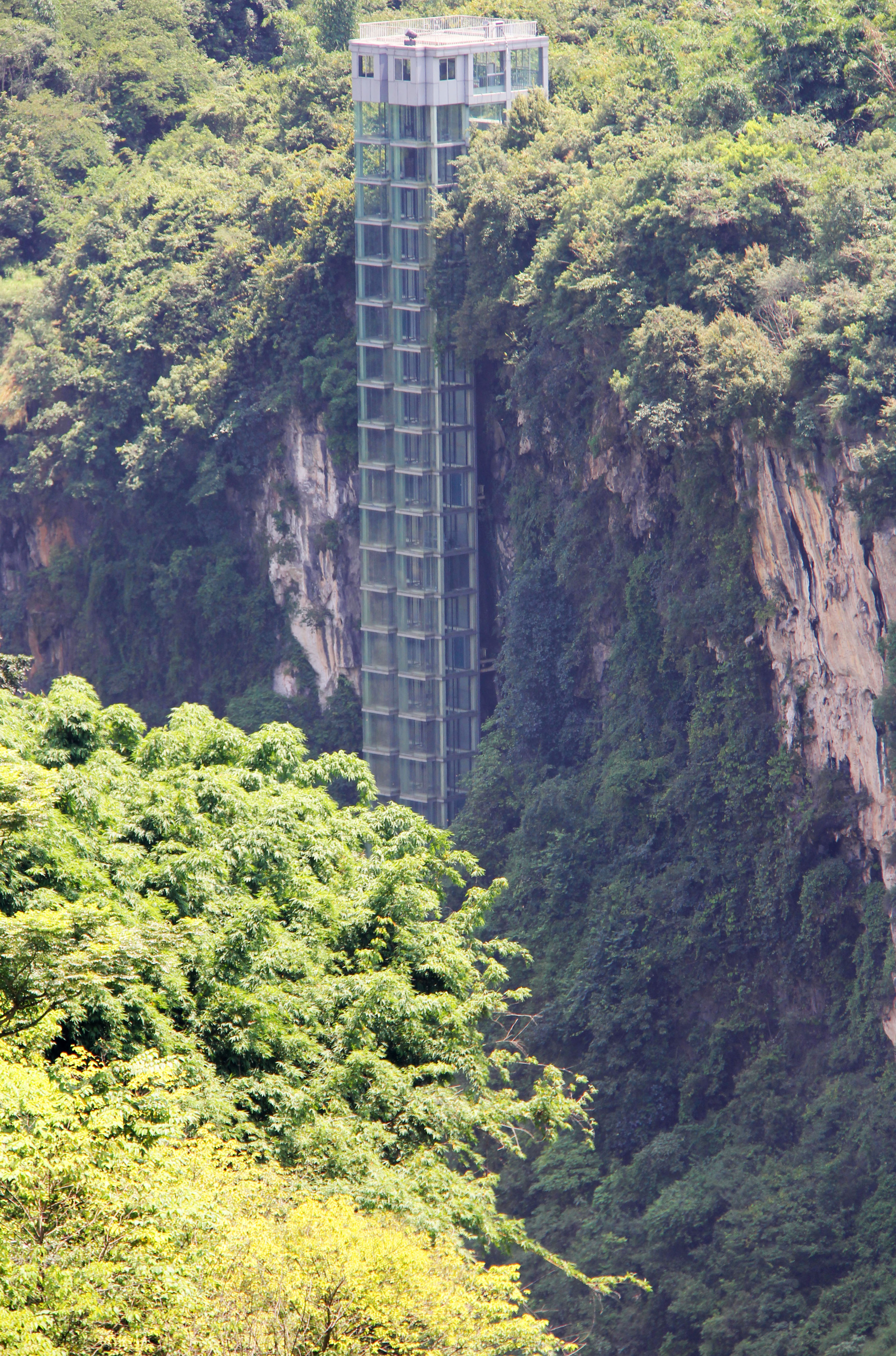
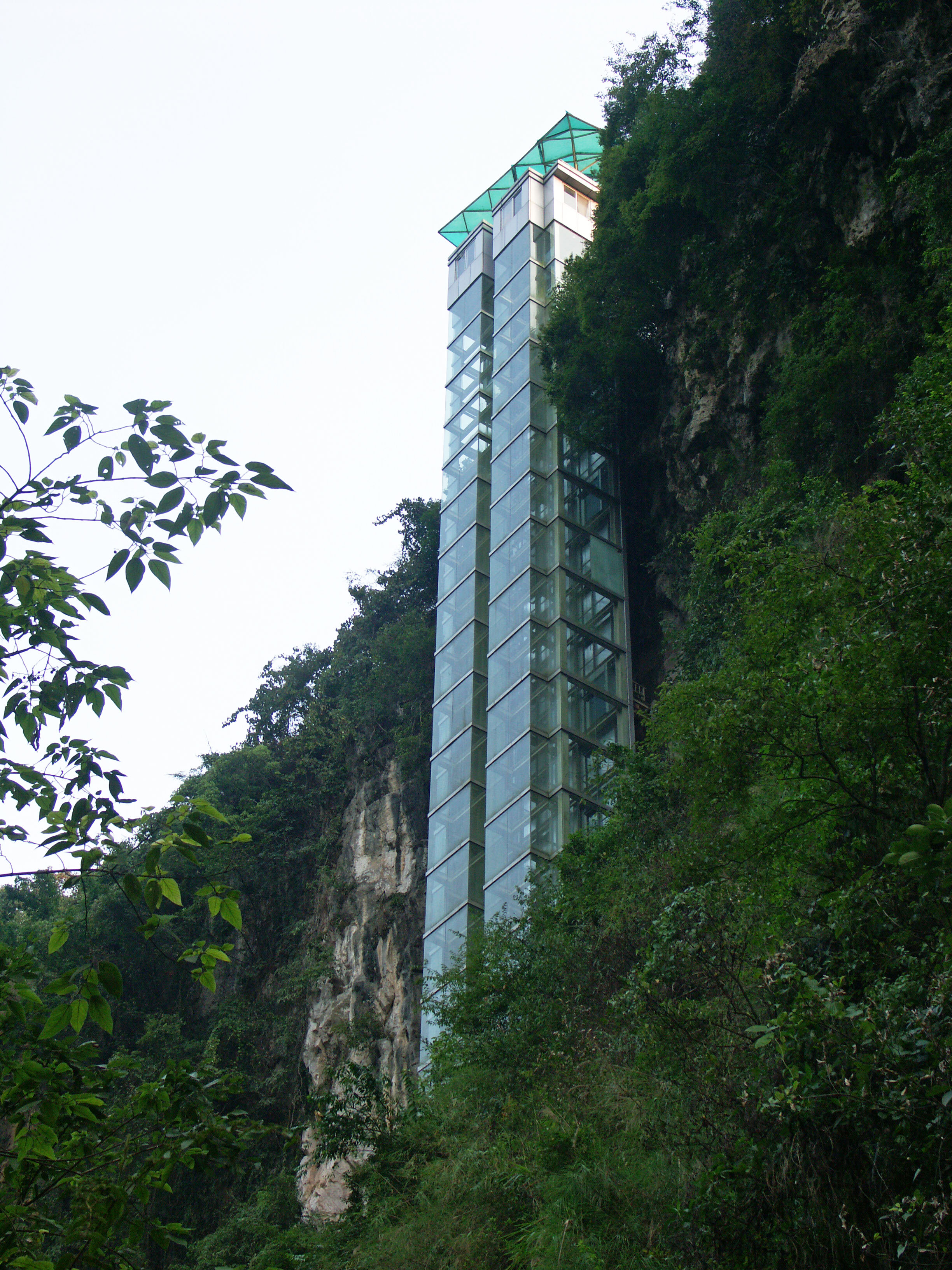
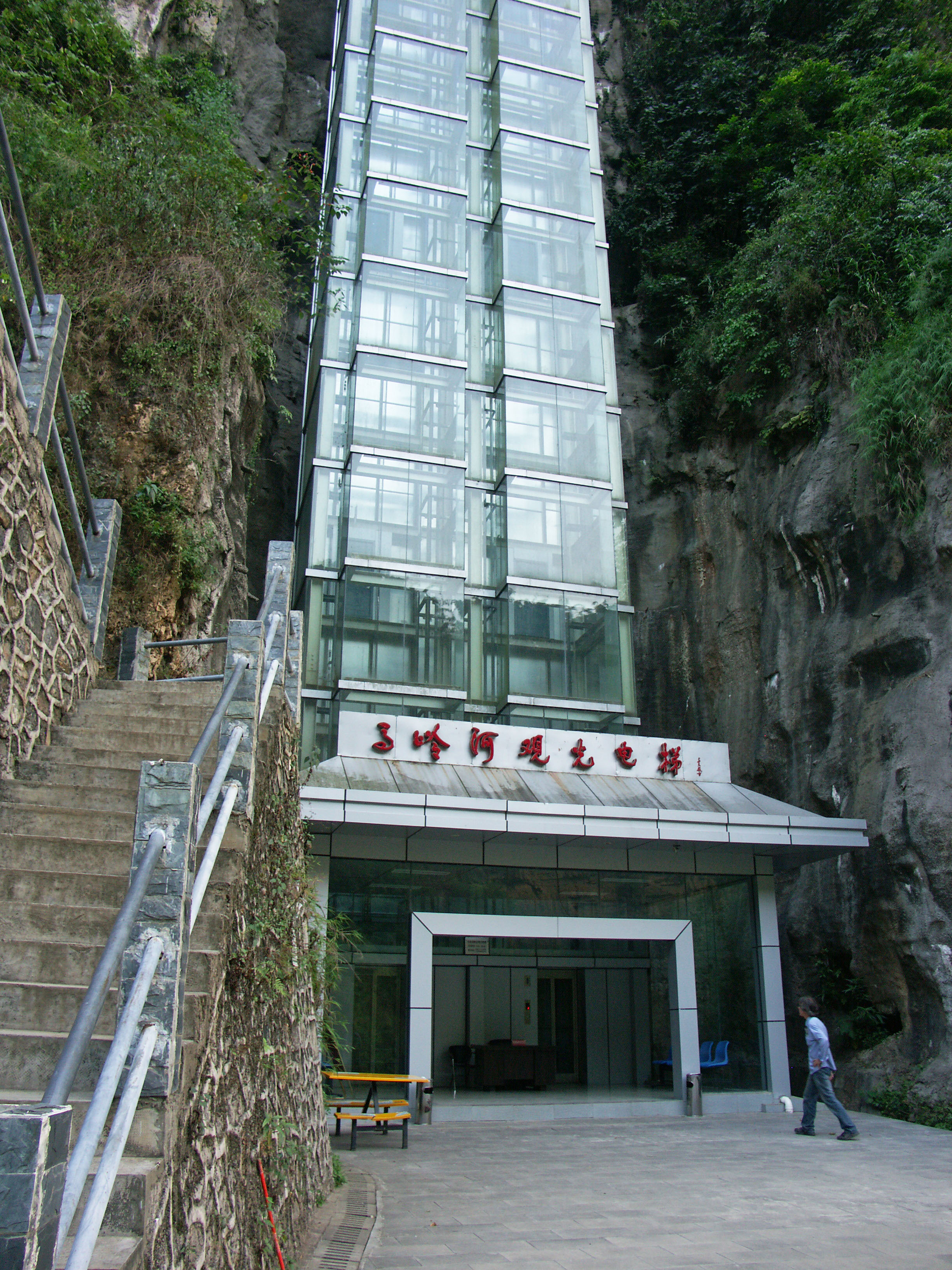
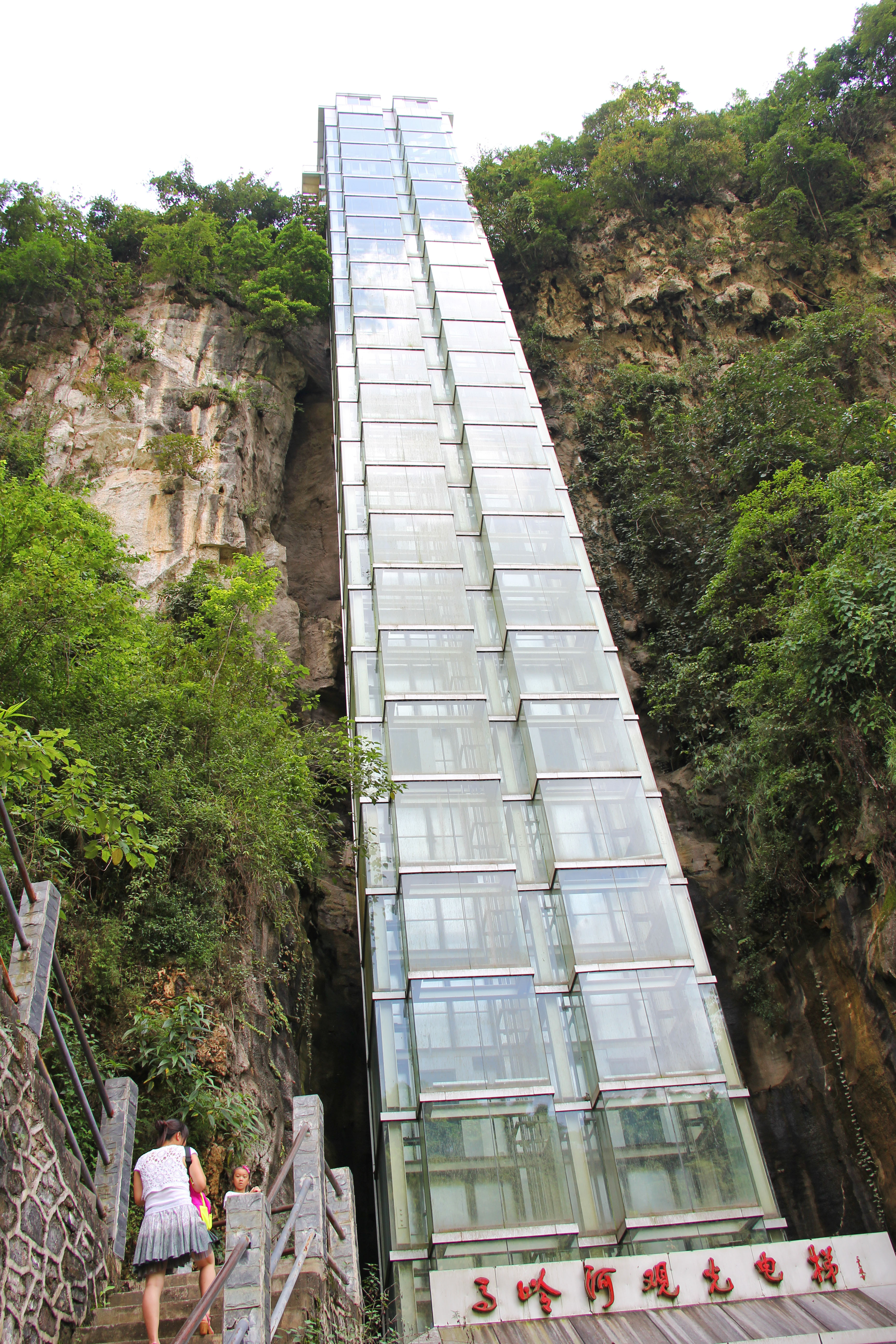
The 73 meter high cliff elevator that brings tourists out of the gorge. Image by Eric Sakowski / HighestBridges.com
Image by Eric Sakowski / HighestBridges.com
Image by Eric Sakowski / HighestBridges.com
Image by John Filmer.
Image by Eric Sakowski / HighestBridges.com
Image by Elly Filmer.
Image by Eric Sakowski / HighestBridges.com
Image by John Filmer.
Image by Jorson.
Image by Eric Sakowski / HighestBridges.com
Image by Unknown.
Image by Eric Sakowski / HighestBridges.com
Image by Eric Sakowski / HighestBridges.com
Image by Eric Sakowski / HighestBridges.com
Image by Eric Sakowski / HighestBridges.com
Image by Eric Sakowski / HighestBridges.com
Image by Eric Sakowski / HighestBridges.com
Image by John Filmer.
Image by Eric Sakowski / HighestBridges.com
Image by Eric Sakowski / HighestBridges.com
Image by Eric Sakowski / HighestBridges.com
Image by Eric Sakowski / HighestBridges.com
Image by Eric Sakowski / HighestBridges.com
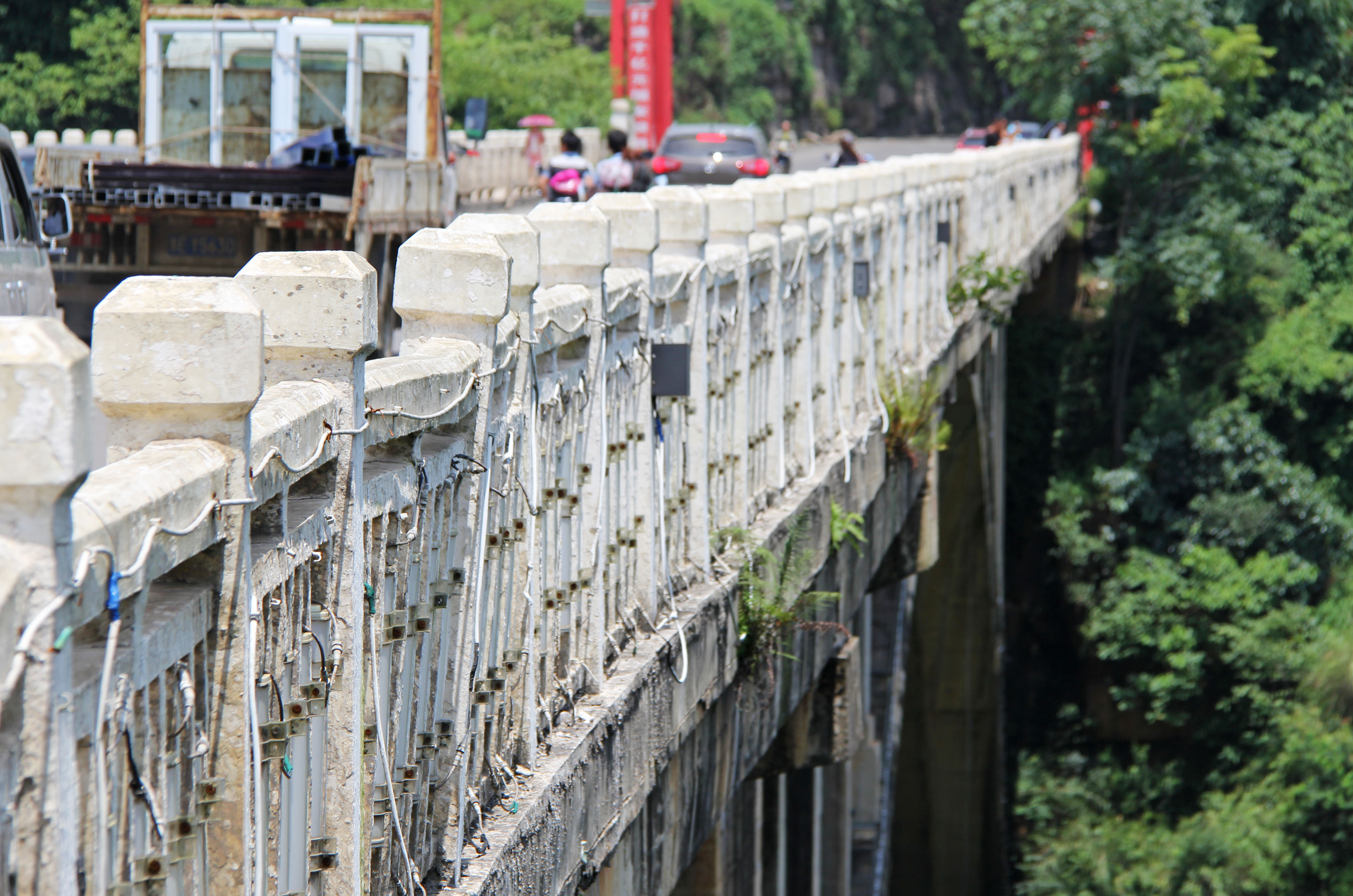
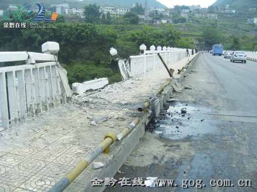
Railing damage in 2012.
Image by Eric Sakowski / HighestBridges.com
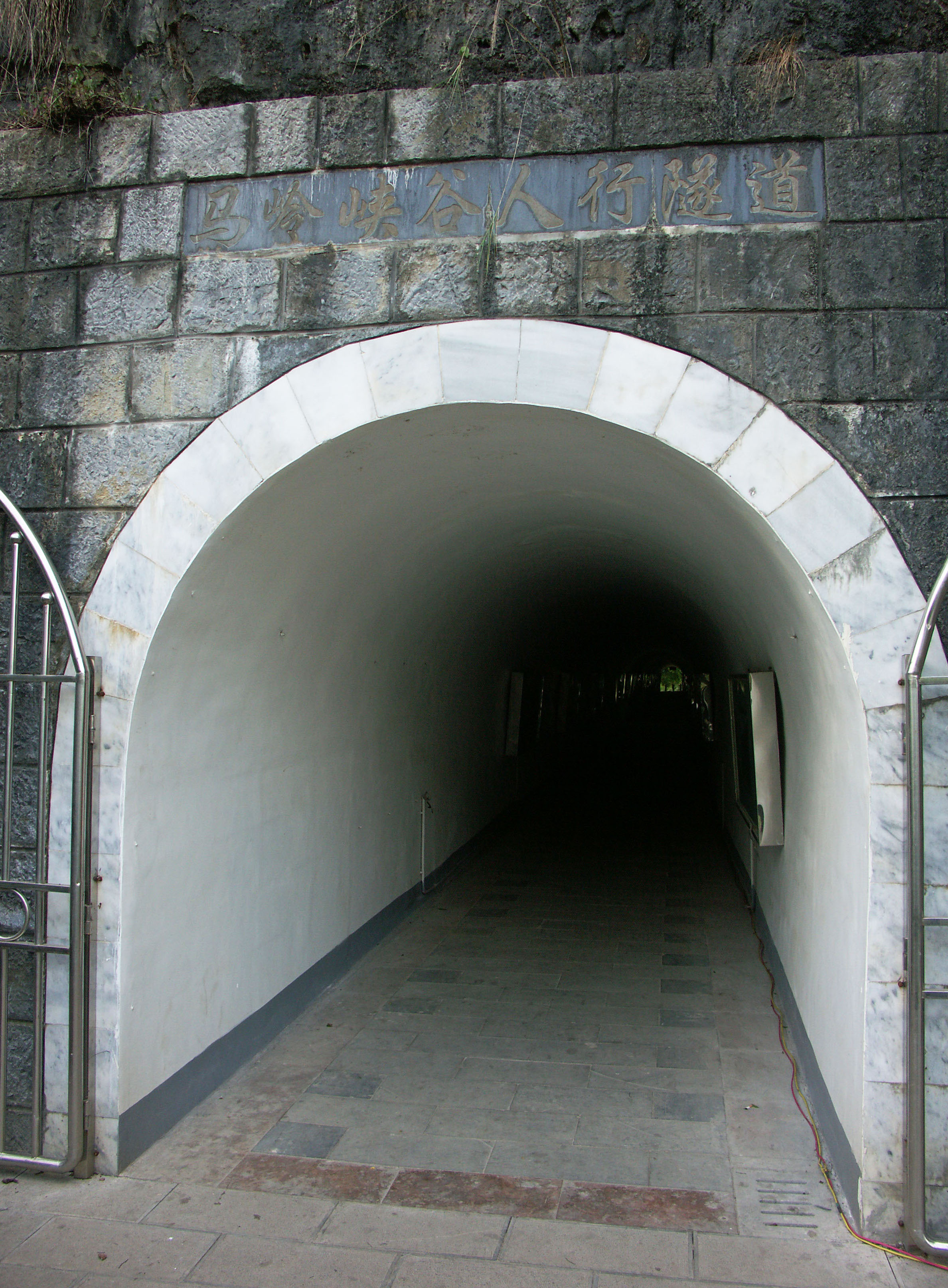
A tunnel leads from the parking area to the edge of the gorge and canyon trail. Image by Eric Sakowski / HighestBridges.com
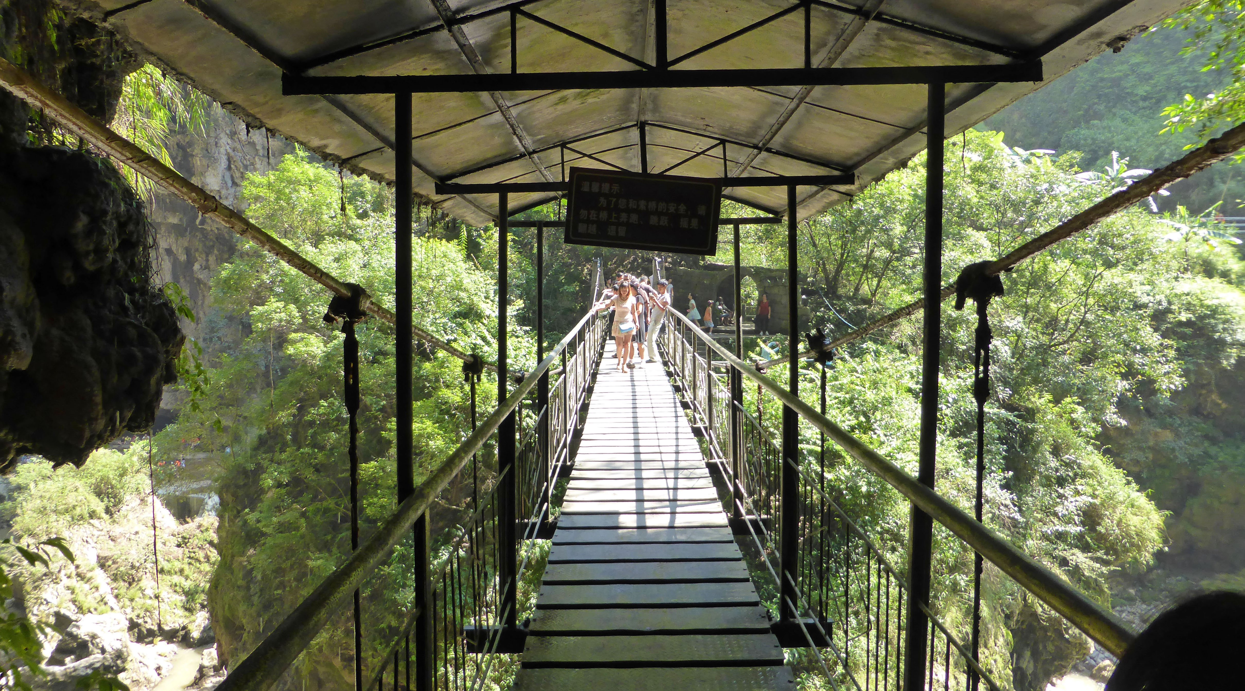
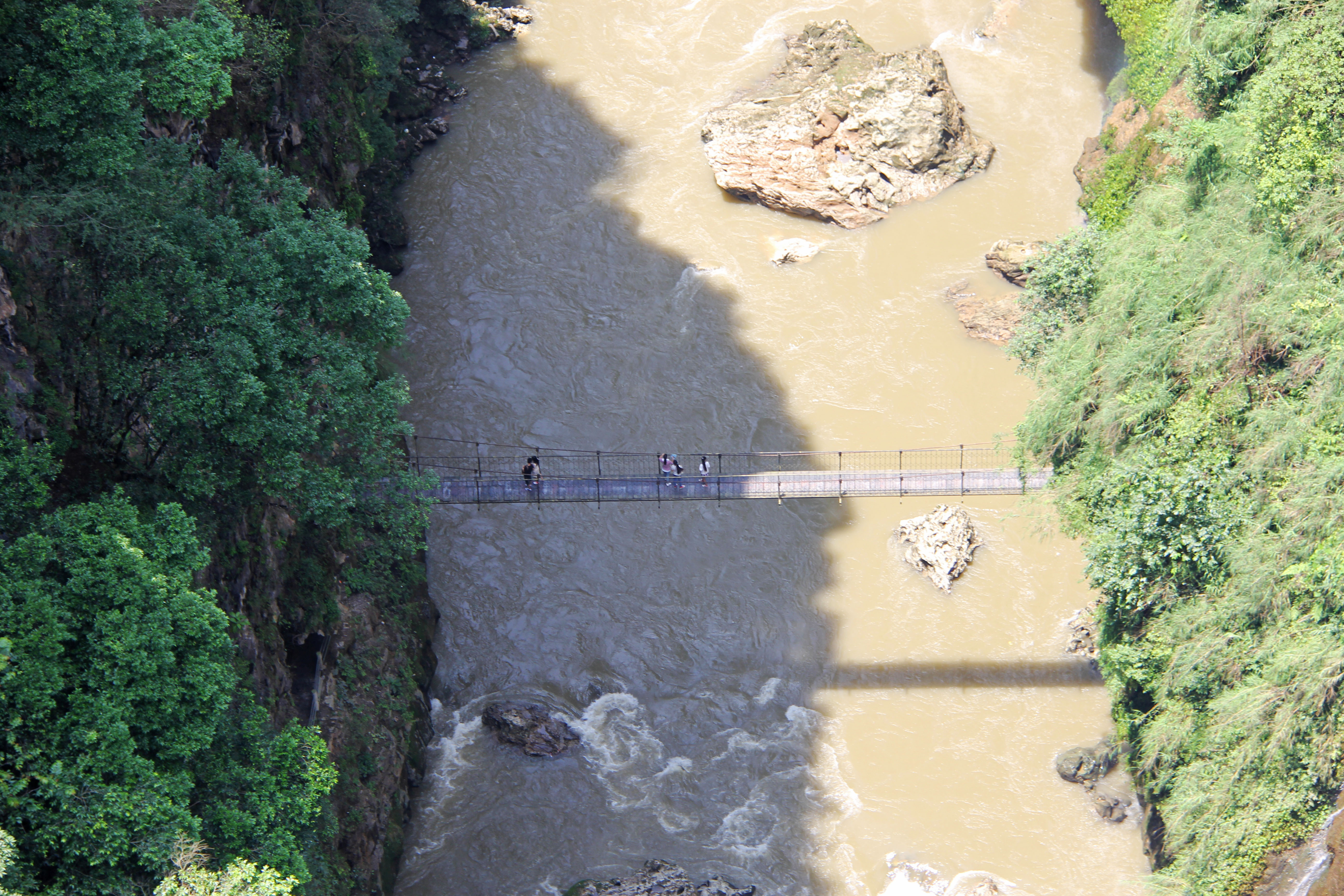
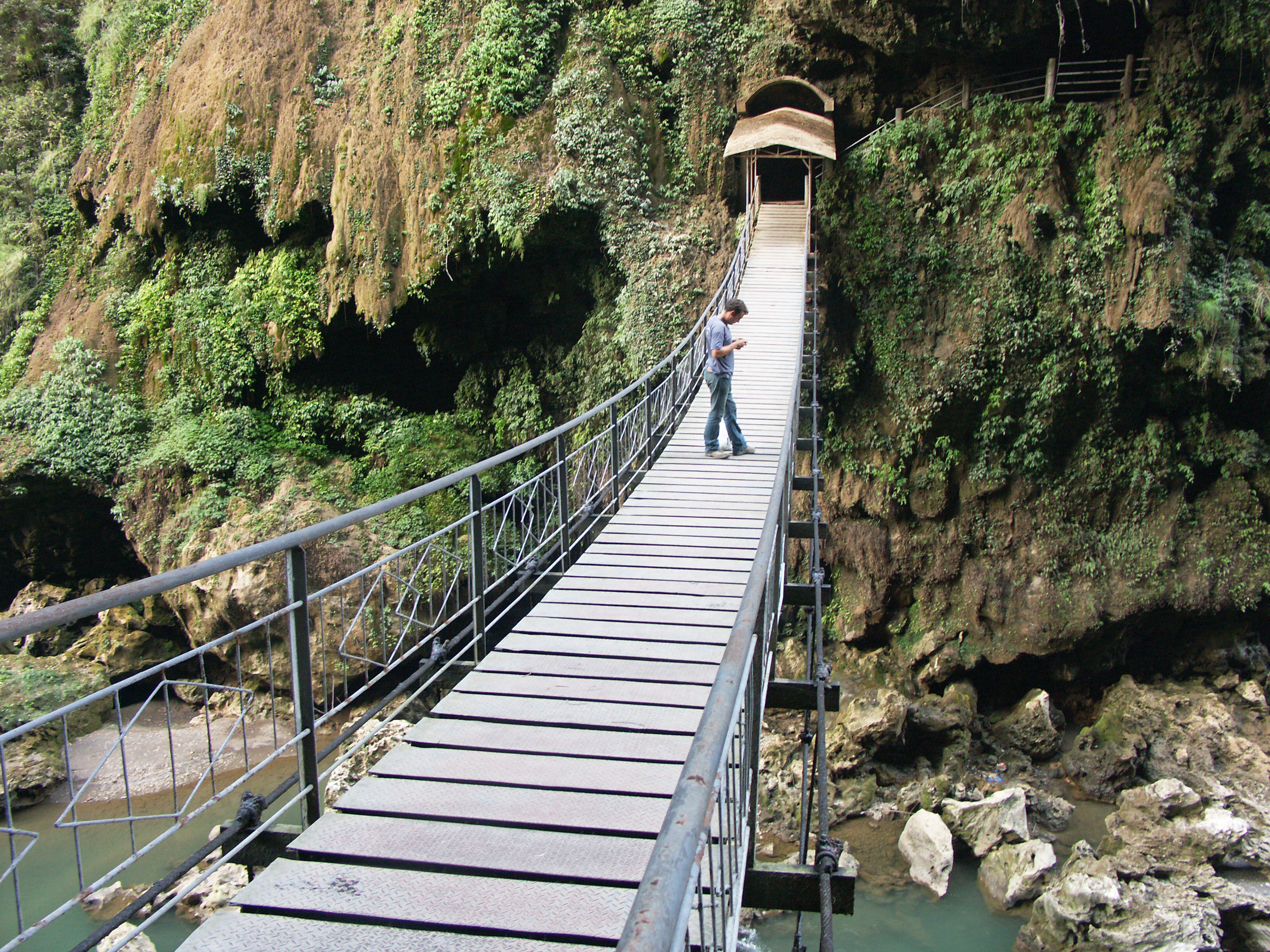
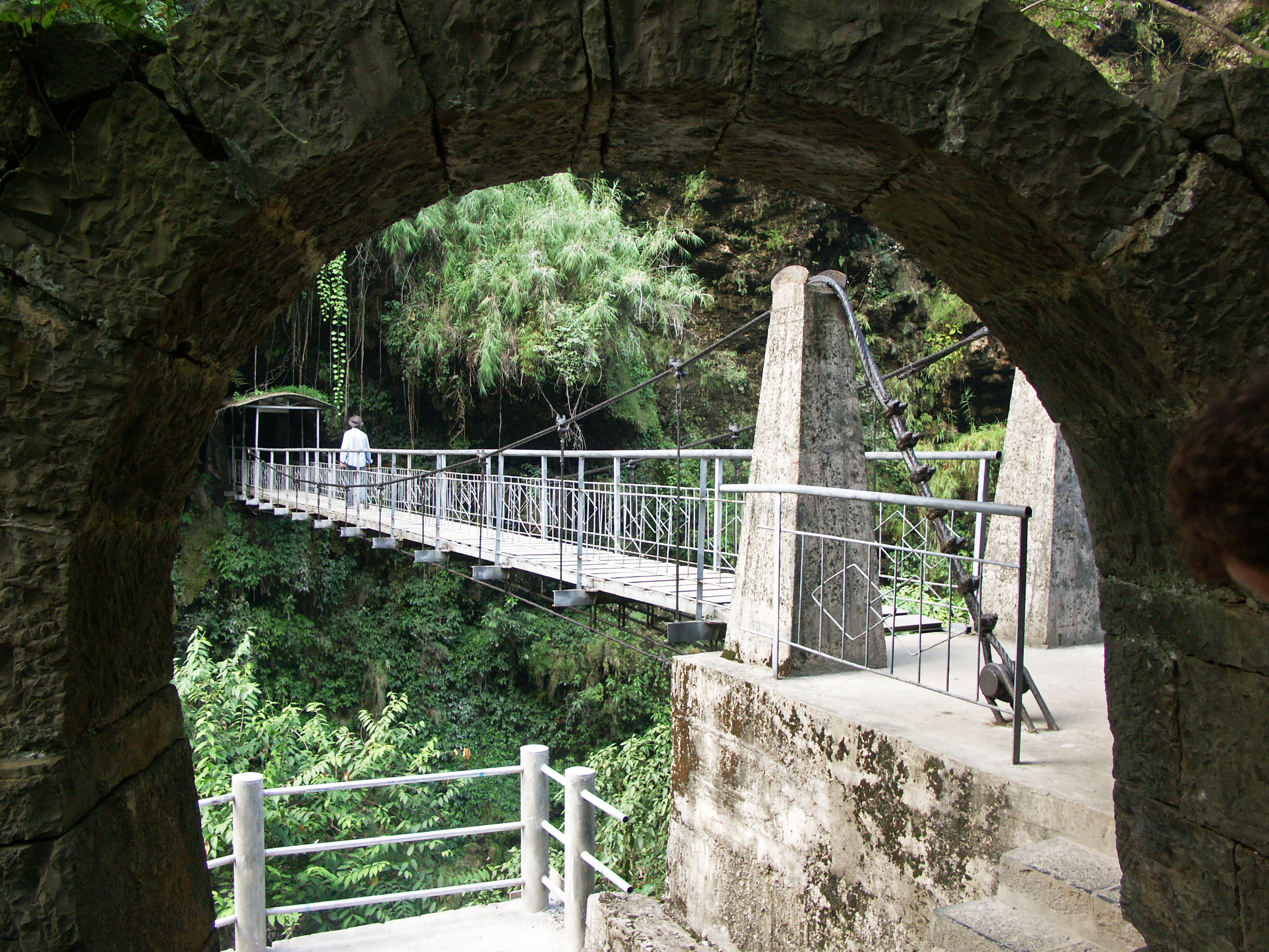
There are 3 suspension bridges that cross the river and allow easy access to trails on both sides of the canyon. Image by Eric Sakowski / HighestBridges.com
Image by Eric Sakowski / HighestBridges.com
Image by Eric Sakowski / HighestBridges.com
Image by Eric Sakowski / HighestBridges.com
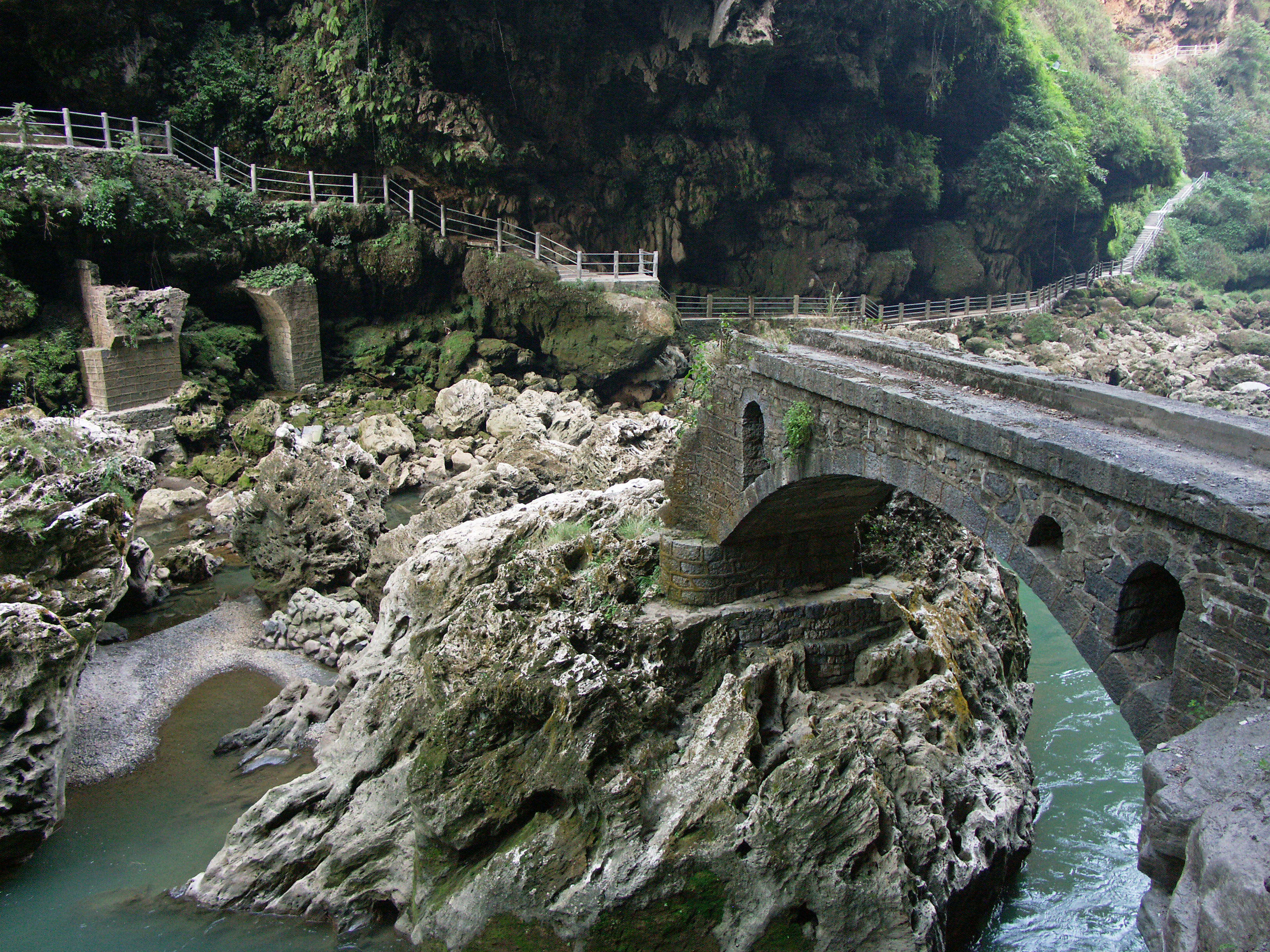
A classic stone arch footbridge that has seen better days. Image by Eric Sakowski / HighestBridges.com
Image by Eric Sakowski / HighestBridges.com
Image by Eric Sakowski / HighestBridges.com
The second suspension bridge crosses over to an "island" in the middle of the river channel. Image by Eric Sakowski / HighestBridges.com
The third suspension bridge that connects the mid-river island to the east side. Image by Eric Sakowski / HighestBridges.com
A view from the top of the west cliff clearly shows the third suspension bridge and the ribbon fall next to it. Image by Eric Sakowski / HighestBridges.com
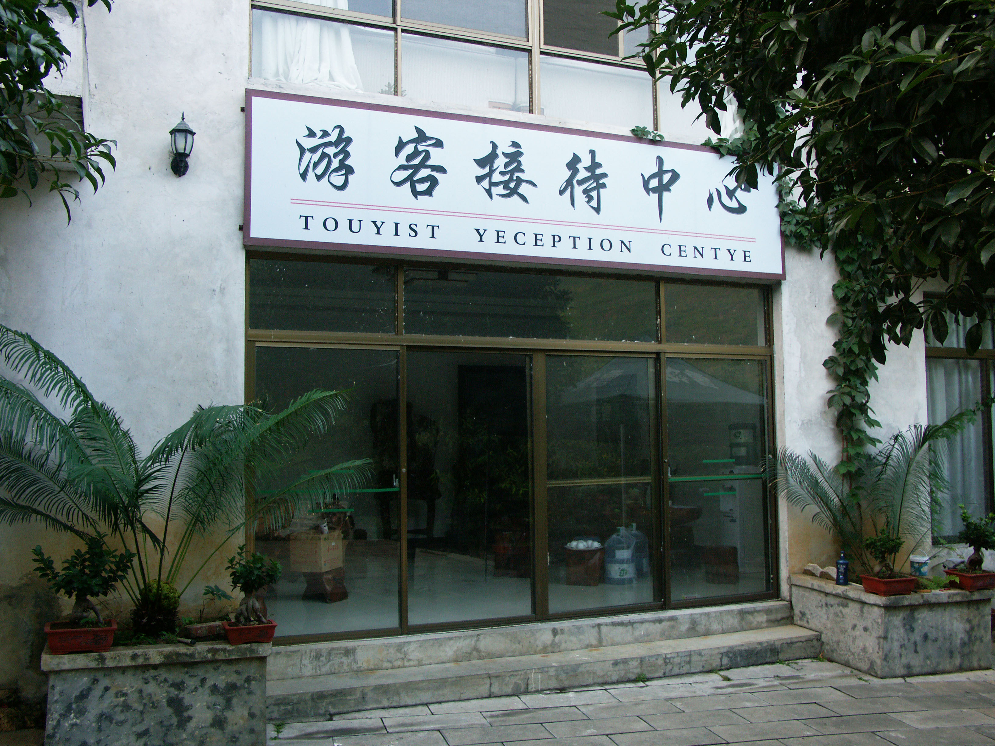
There is a Touyist Yeception Centye to help English speaking foreigners!
Image by Eric Sakowski / HighestBridges.com
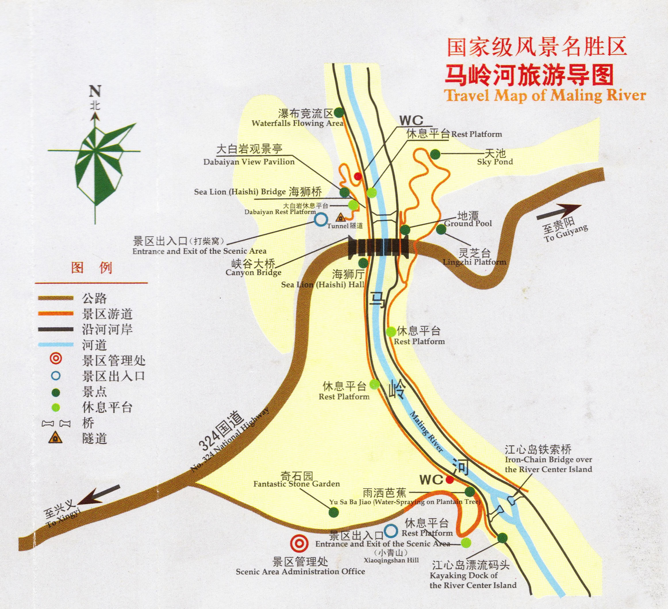
Malinghe Gorge tourist map showing the hiking paths within the canyon.
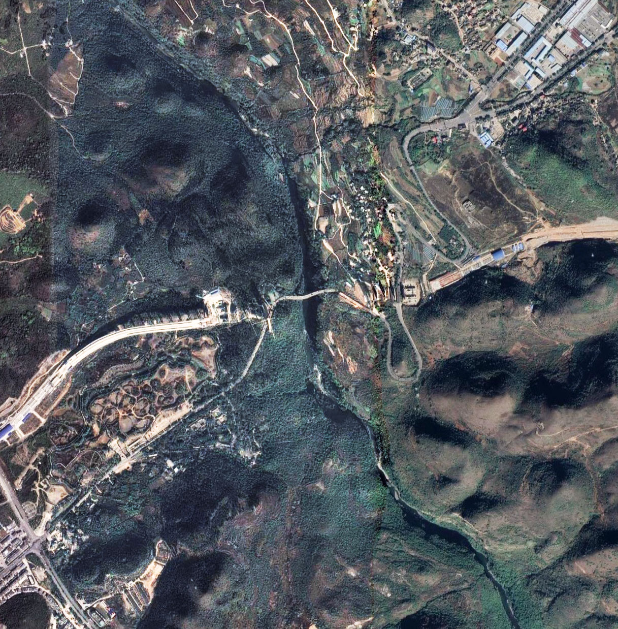
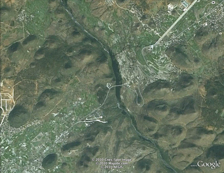
Maling Gorge Arch Bridge satellite image.
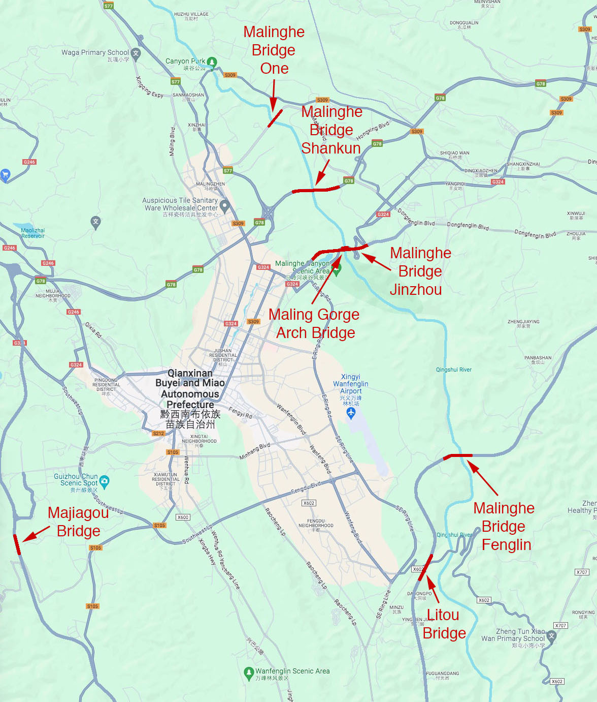
Maling Gorge Arch Bridge location map.
