Mtentu Bridge
Mtentu Bridge
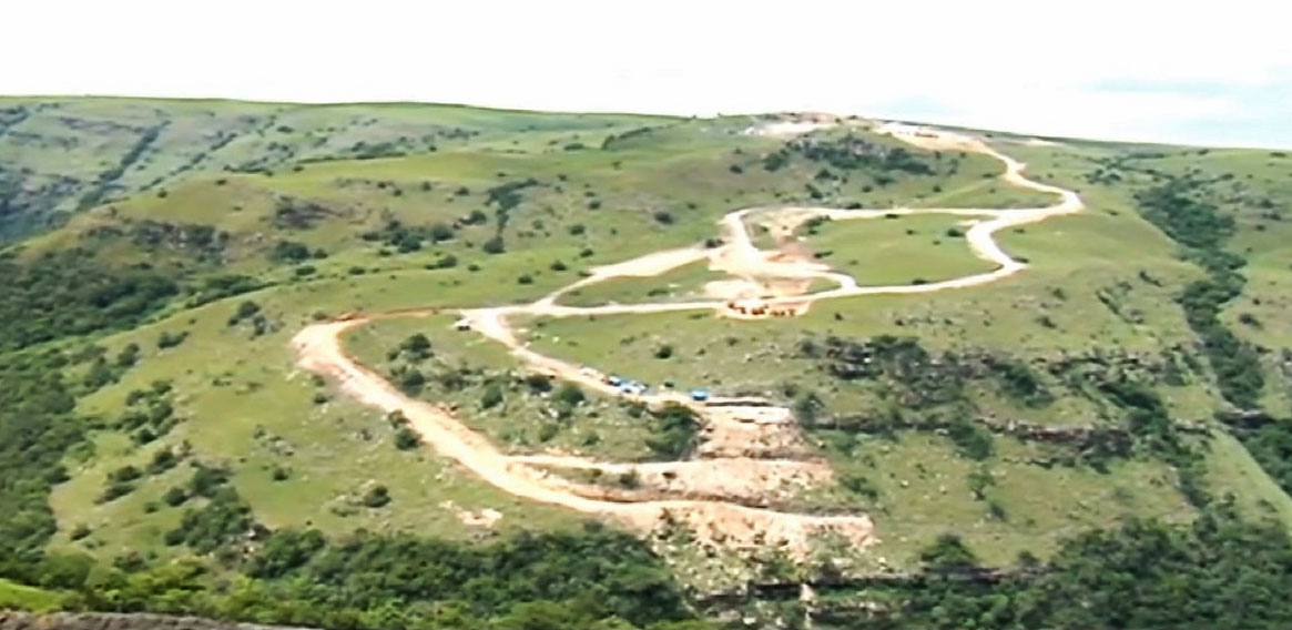
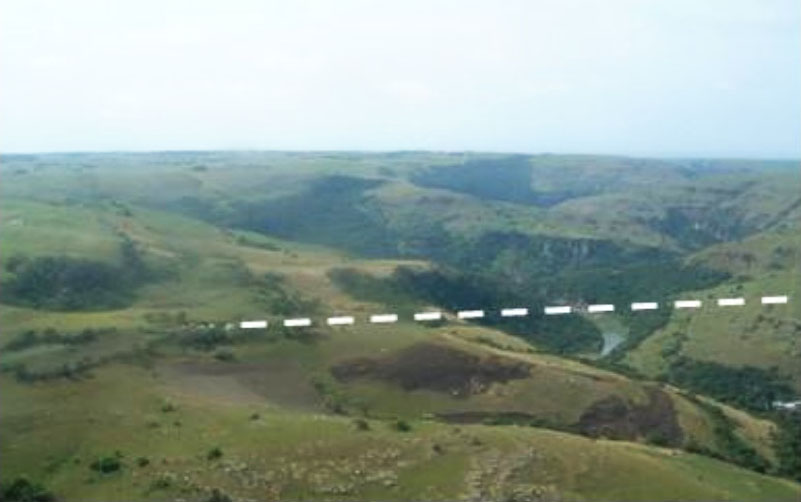
Lundini, Eastern Cape, South Africa
730 feet high / 223 meters high
853 foot span / 260 meter span
2025
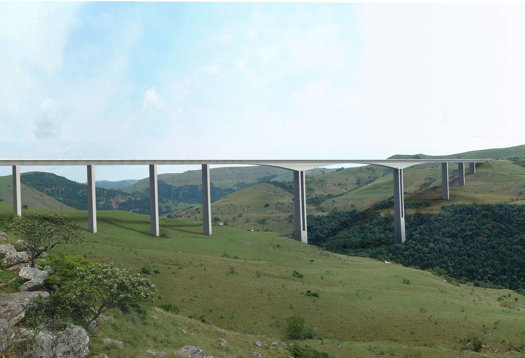
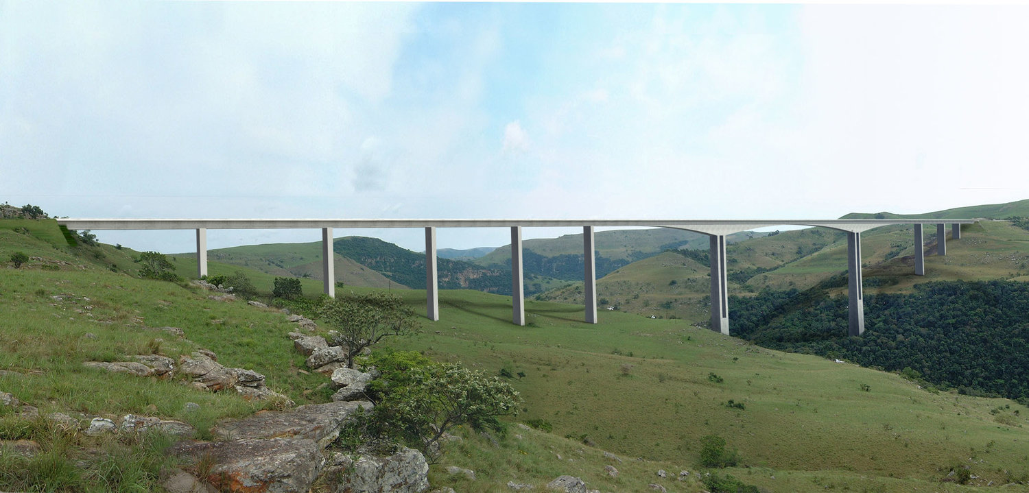
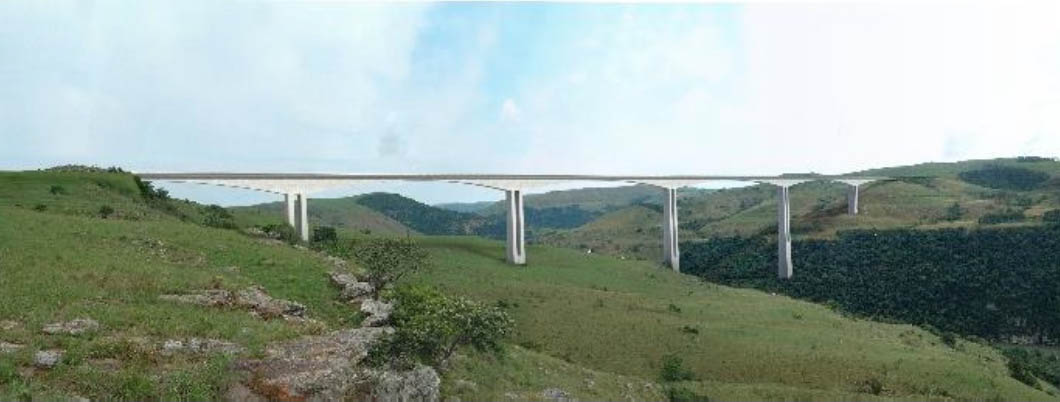
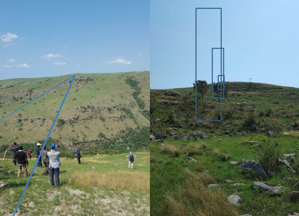
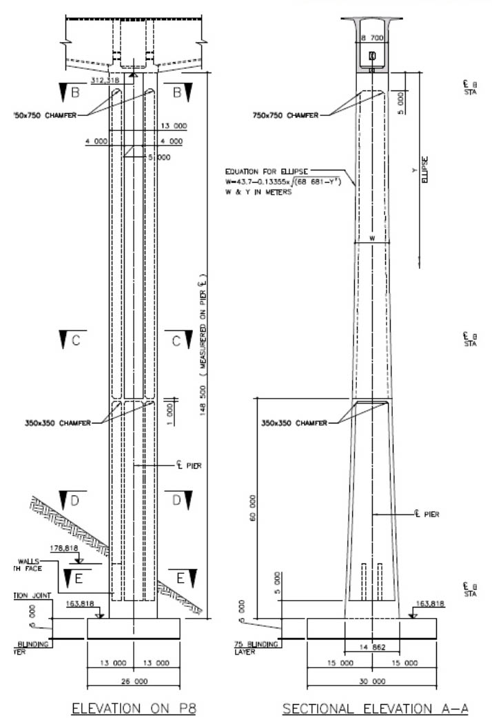
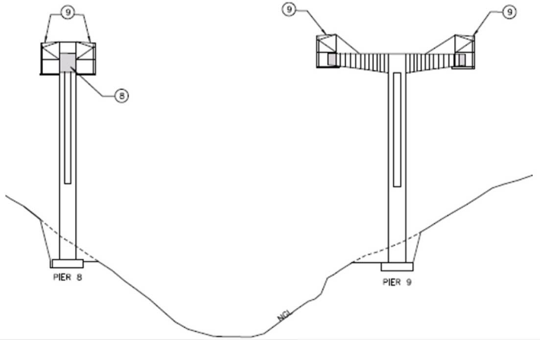
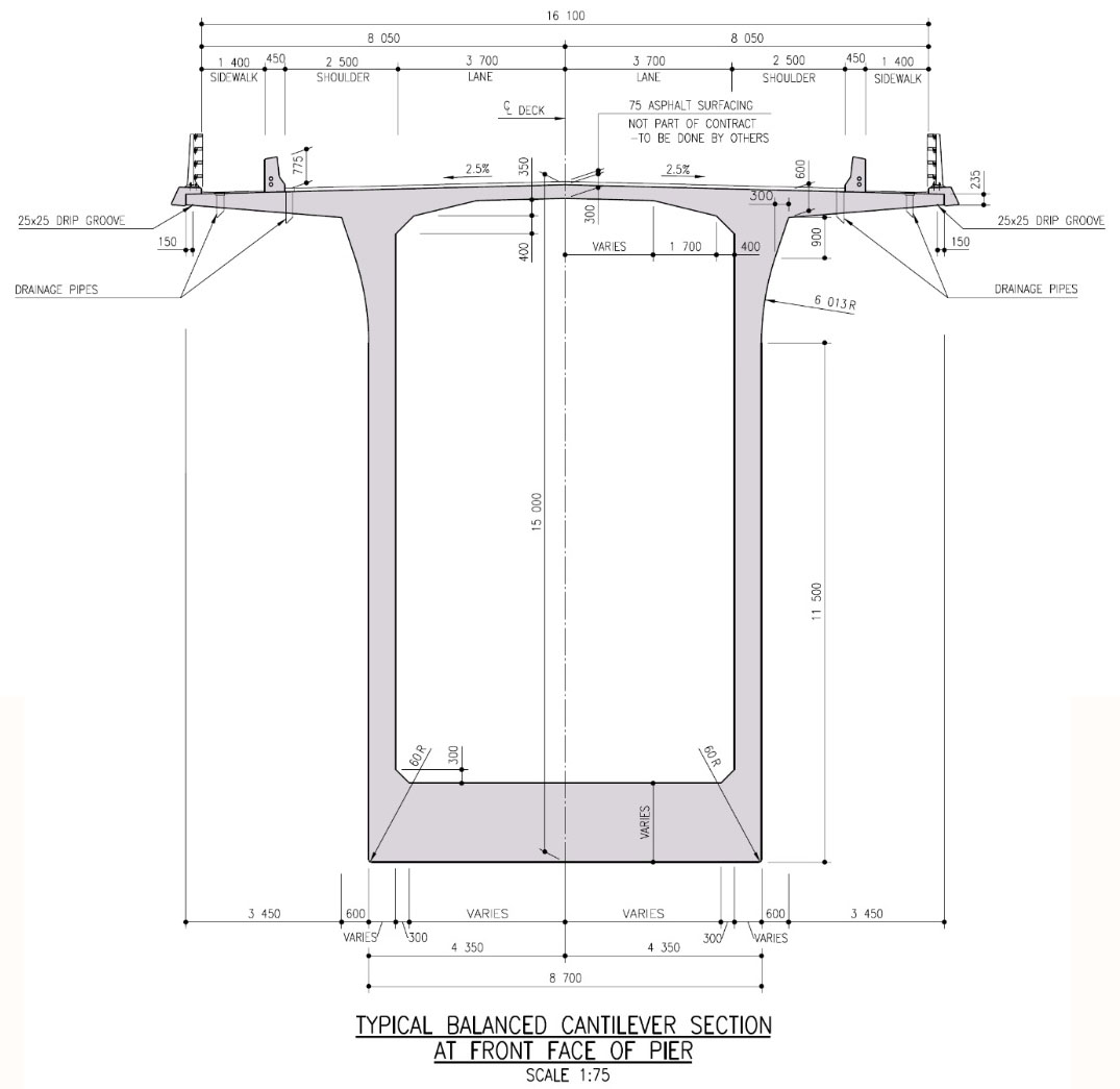
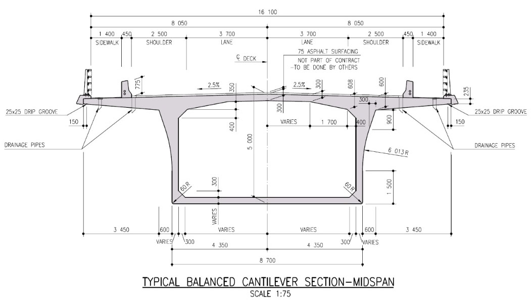
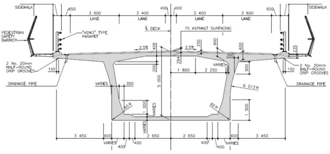
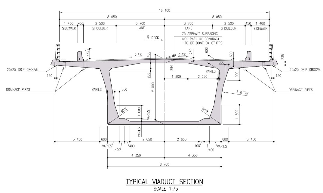
Mtentu Bridge is scheduled to open as the highest bridge ever built in Africa with a deck height of approximately 223 meters. The massive central beam span of 260 meters will also be a record for the African continent among beam bridges and the 141 meter pier #9 will be also be the tallest on the continent. The Mtentu Bridge will have a total length of 1,132.7 meters with a span configuration of 1.65+53.7+5x66 +150+260+150 +2x66+53.7+1.65 meters. The deck cross-section to the main spans vary from 15 m deep at the piers to 5 m deep at mid-span. The approach spans are 5 m deep. The entire structure will have a deck 22.8 meters wide with walkways on both edges.
The nearby cable stayed Msikaba Bridge will not be as high as Mtentu Bridge but the main span of 580 meters will be the second longest on the African continent only behind the 680 meter span Maputo-Catembe Bridge in Mozambique.
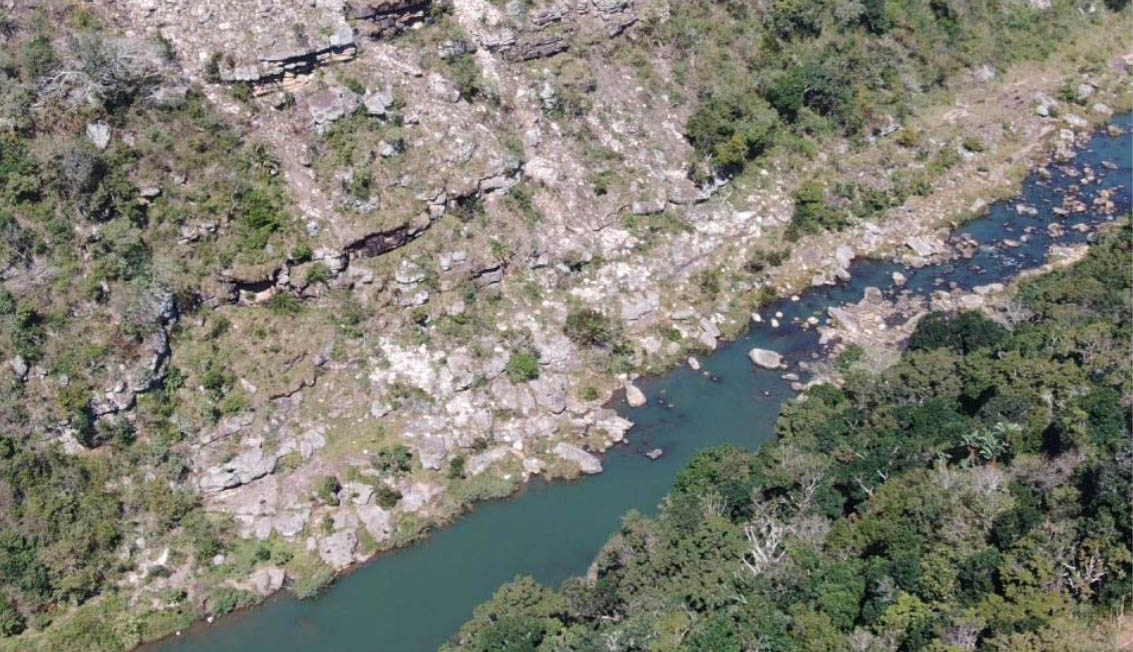
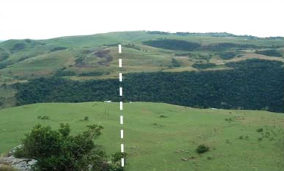
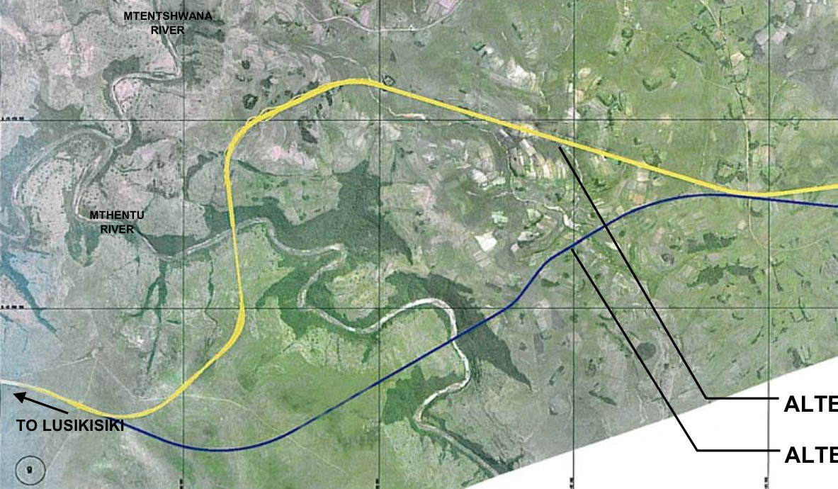
During concept and preliminary design of the Mtentu Bridge, the challenge was to find a short bridge on a simple alignment that would minimize the environmental impact while still being an aesthetic and cost-effective solution. The first challenge was to find a suitable geometric alignment. Several horizontal alignments were considered. As the bridge sits in a valley with relatively steep sides, various vertical grades were considered for the approach roads, ranging from 4% to 6%, in order to optimize the alignment and minimize the bridge length. More than 7 alternatives were costed, all optimized to lower wind and seismic loading, reduce foundation size, and requiring proven uncomplicated design and construction methods. The optimization process considered cost, programme, visual impact, environmental impact, design risk and construction risk.
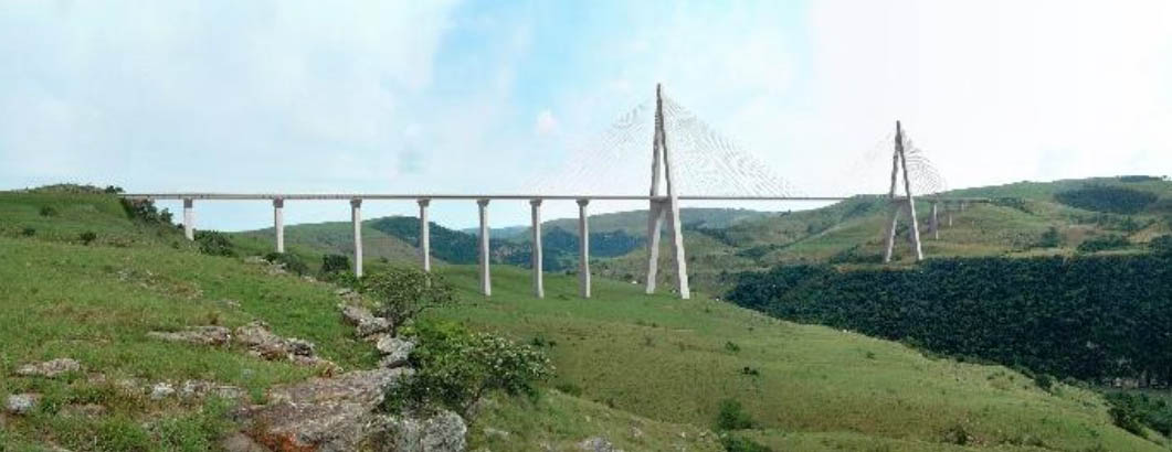
Structural forms considered included long-span cable-stayed spans with main spans of 480 m; a balanced cantilever 5-span deck; and a combination of a balanced cantilever main span with incrementally launched approach spans, the latter being the structural form that went forward to detailed design.
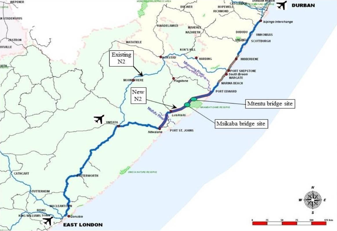
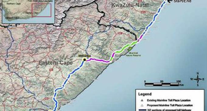
The Msikaba and Mtentu Bridges are part of an improvement to the older N2 Wild Coast Toll Road that will be 85 kilometers shorter and 3 hours faster.
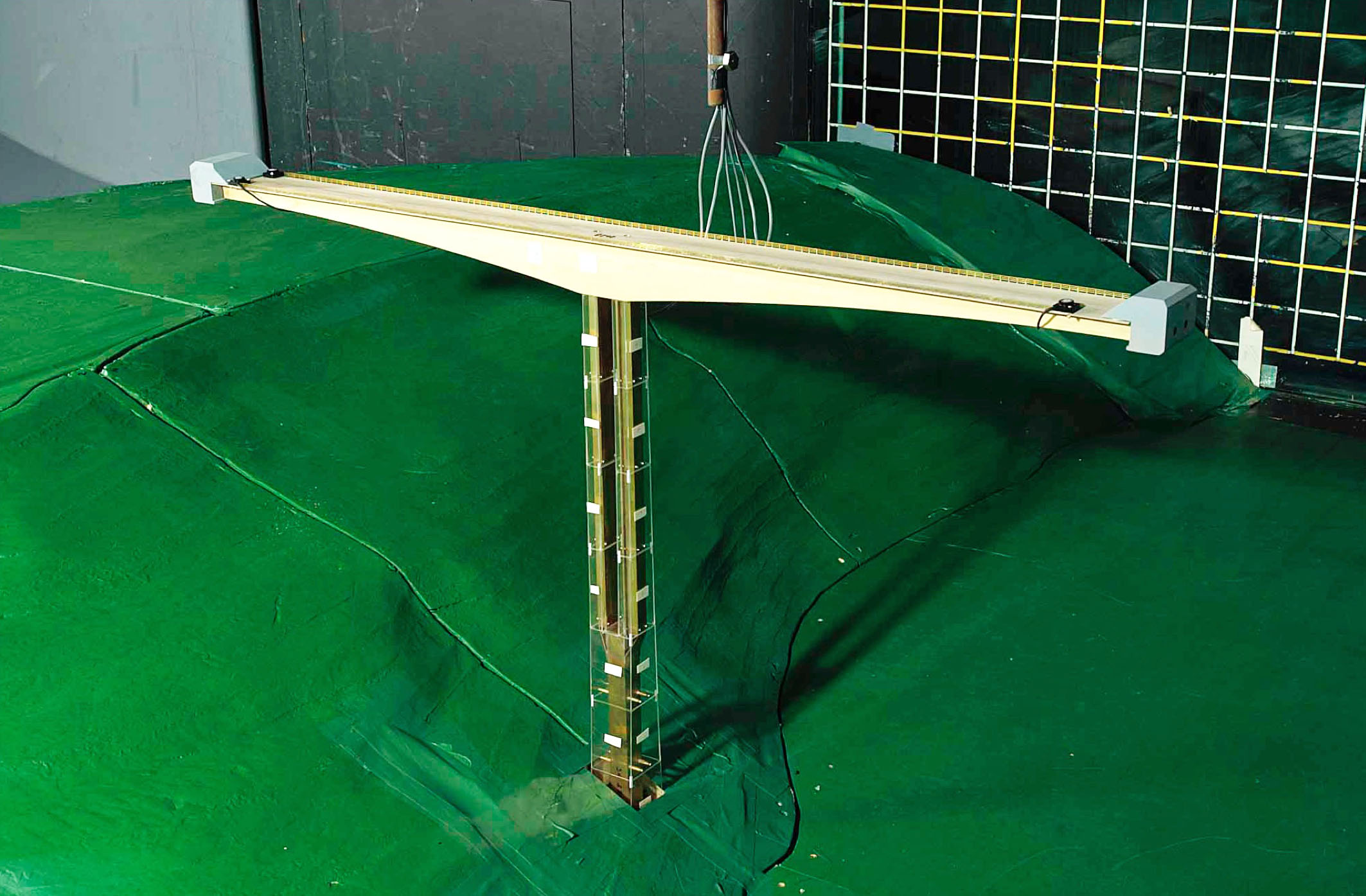
The design team consisted of the HVA JV, a joint venture of Halcrow, (now part of CH2M), VKE, (now part of SMEC) and Axis. Sub-consultants include Dissing+Weitling (International Bridge Architects), Melis and du Plessis (Geotechnical), Nyeleti (Black economic empowerment partner(BEE) Design and detailing) and Dynacon (BEE Design and detailing). Specialized investigations were commissioned from the South African Council of Geoscience (Seismic loading), South African Council for Scientific and Industrial Research (wind climate assessment) and BMT Fluid Mechanics, UK (wind tunnel testing).
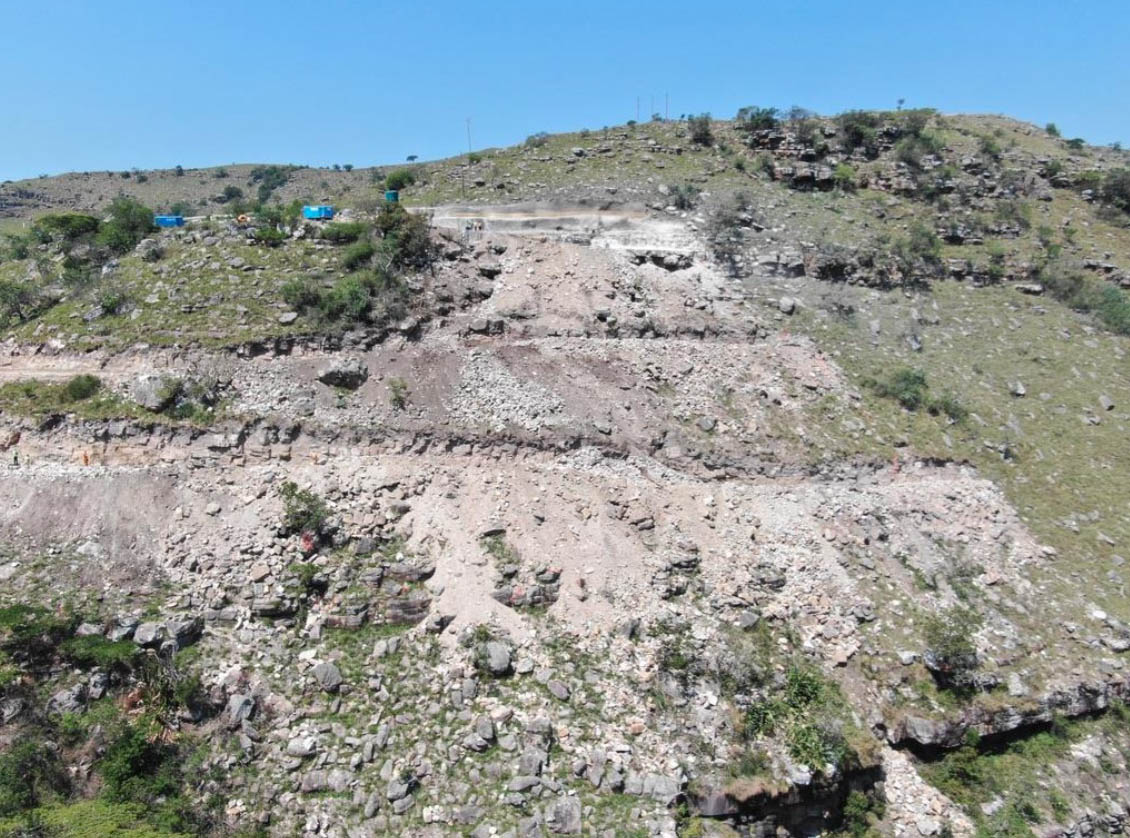
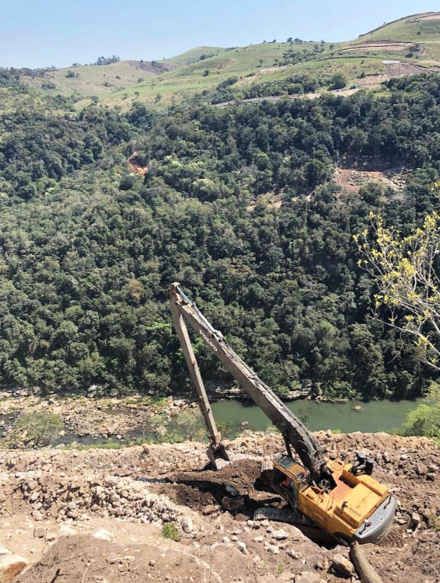
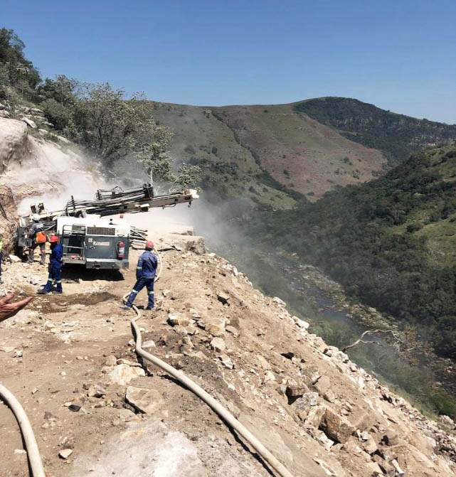
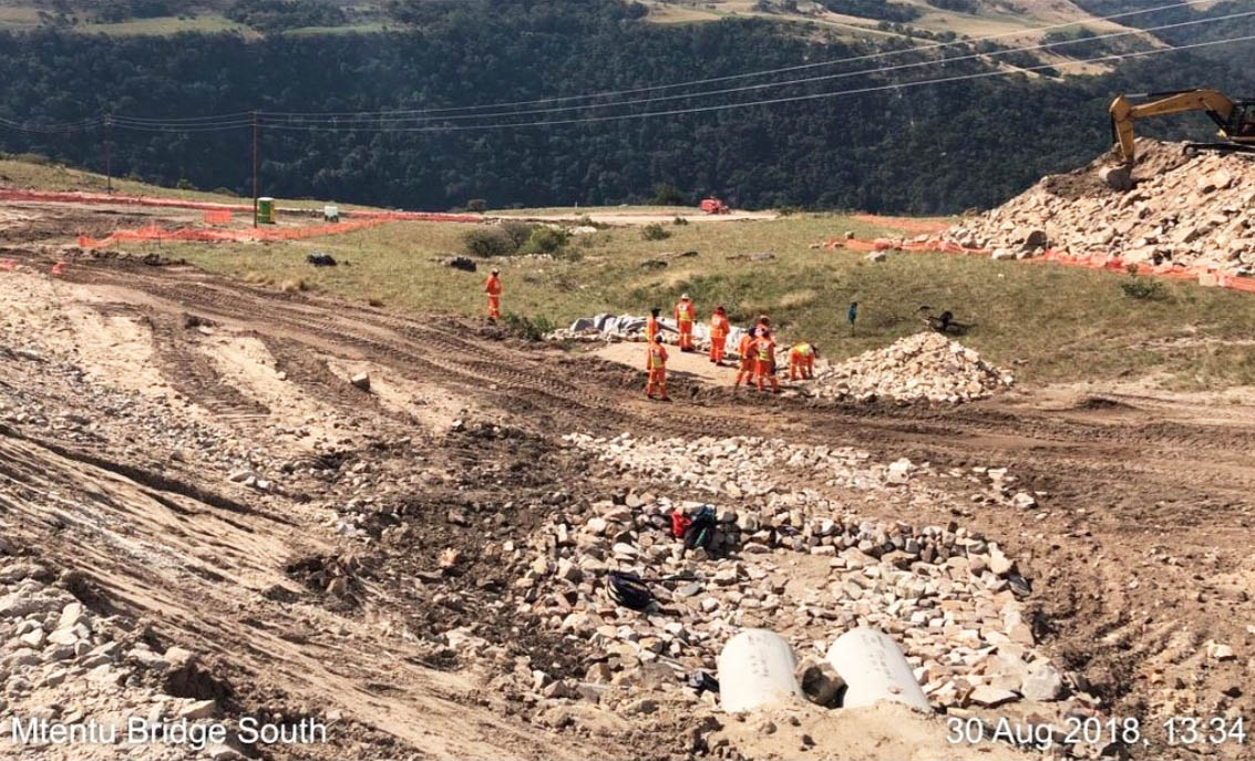
Construction delays and a halting of work plagued the bridge in 2018 and it is unknown when construction will resume.
Mtentu Bridge cable stayed proposal.
Mtentu Bridge beam proposal.
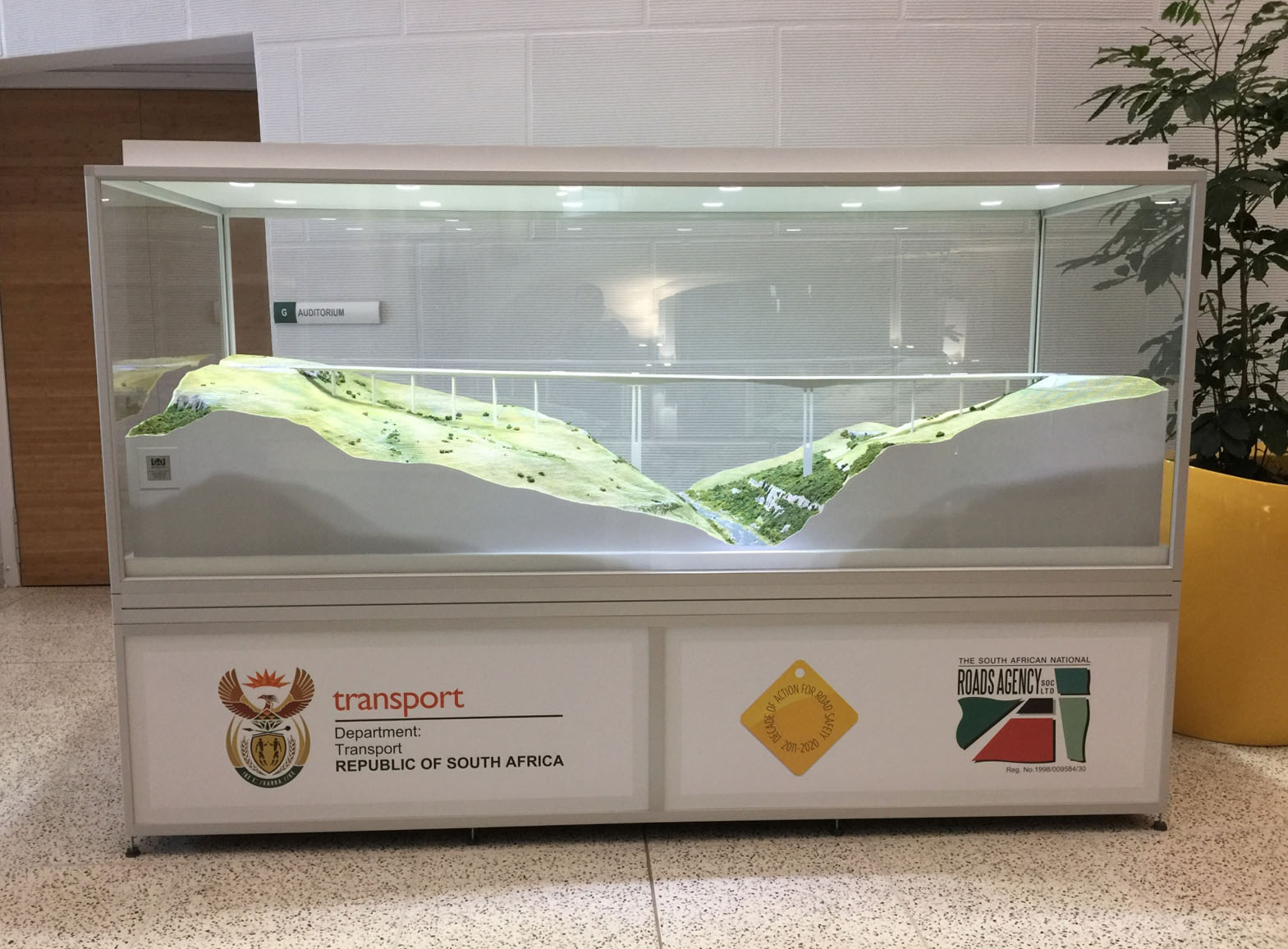
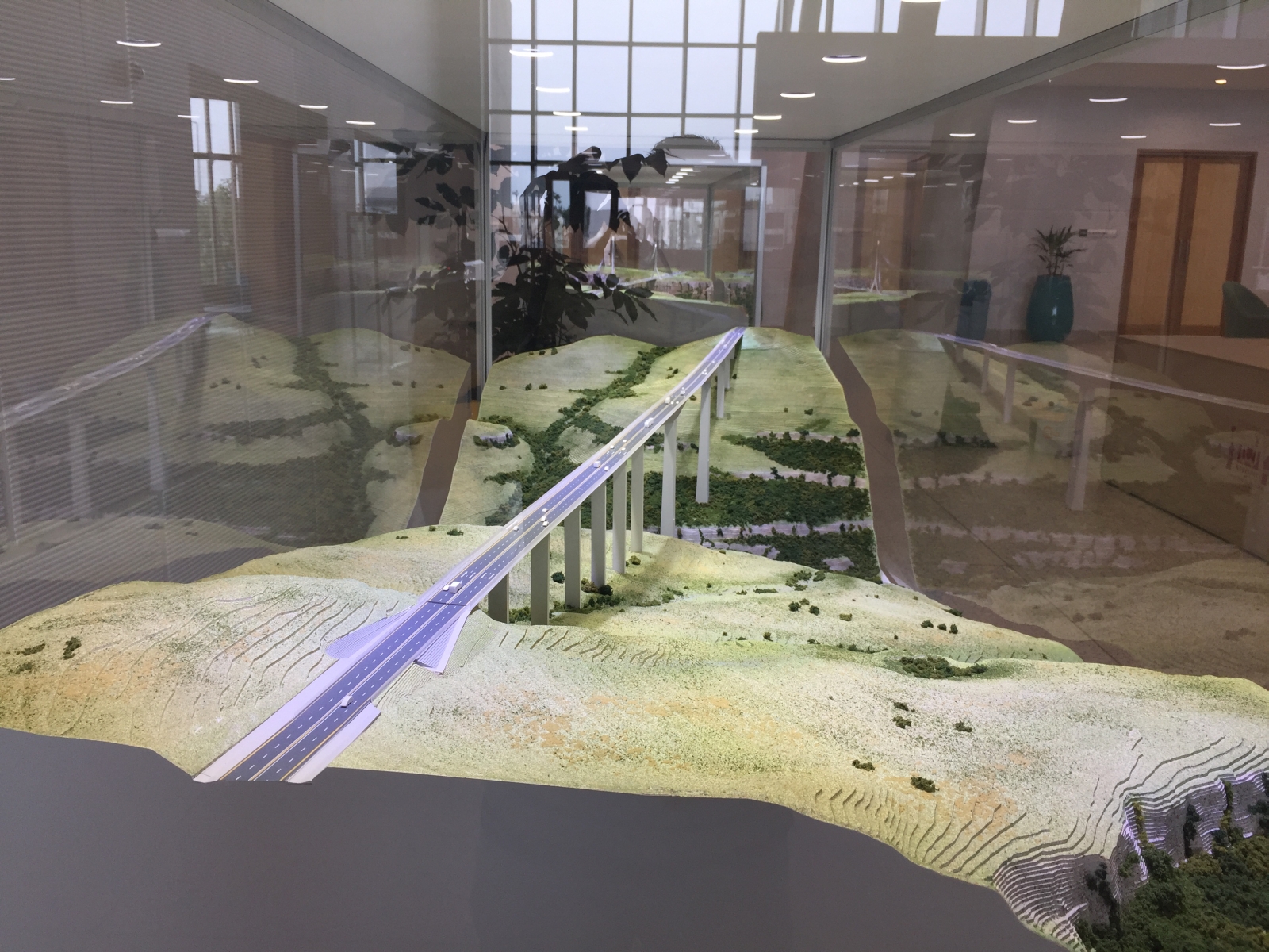
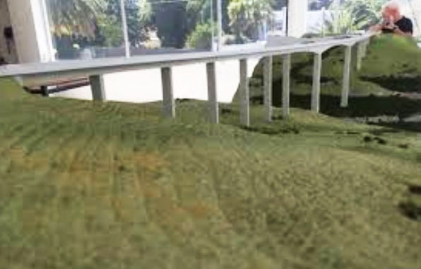
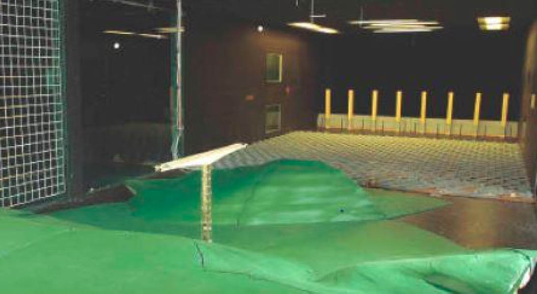
Mtentu Bridge wind test model.
Mtentu Bridge location map.
