Glen Canyon Dam Bridge
Glen Canyon Dam Bridge
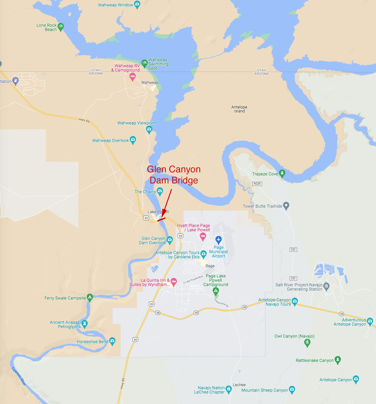
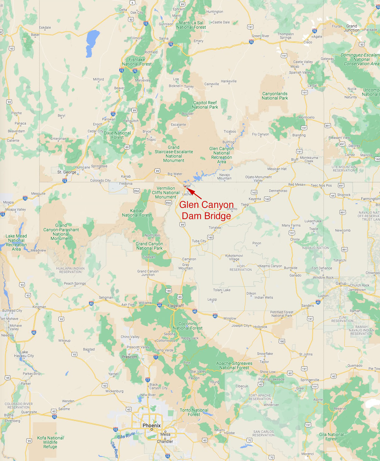
Page, Arizona, United States
700 feet high / 213 meters high
1,028 foot span / 313 meter span
1959
Image by Felicia Vereen.
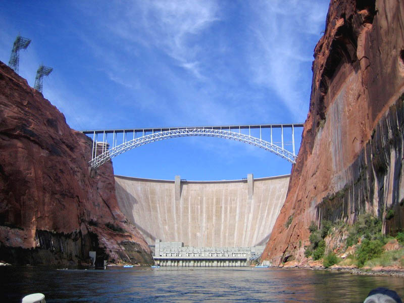
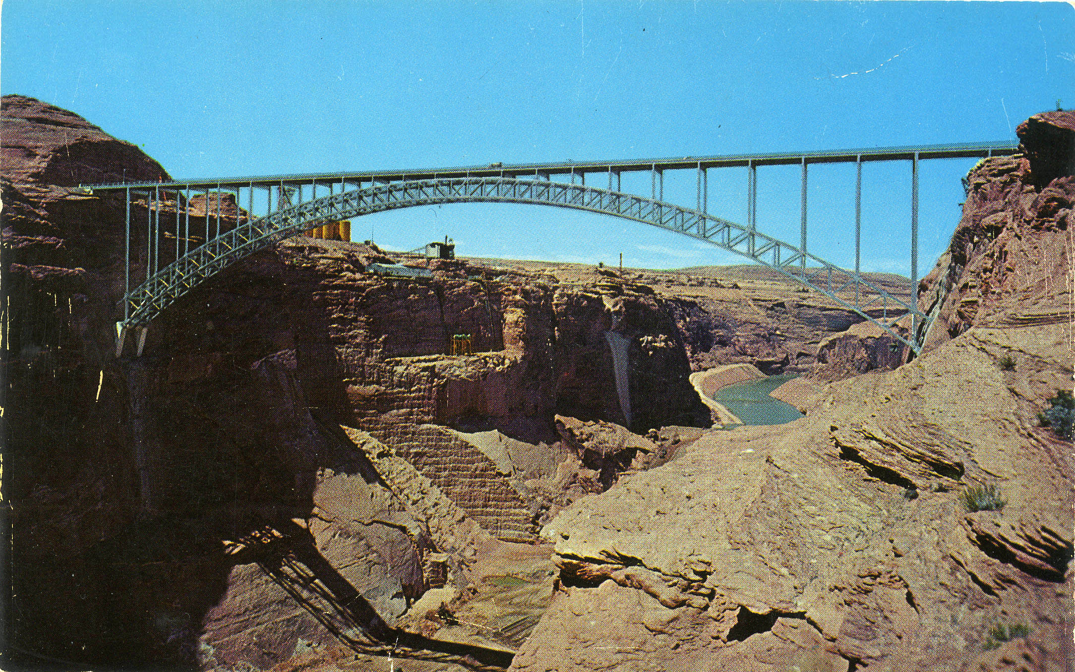
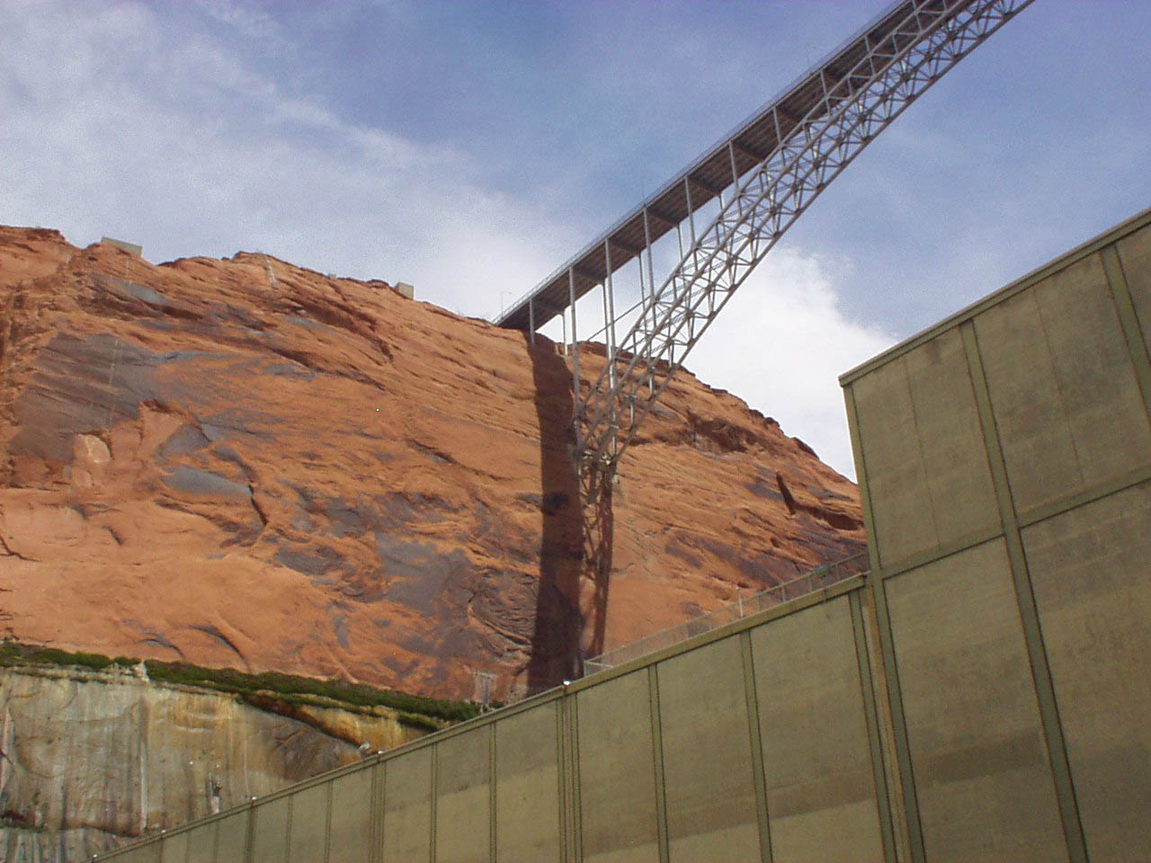
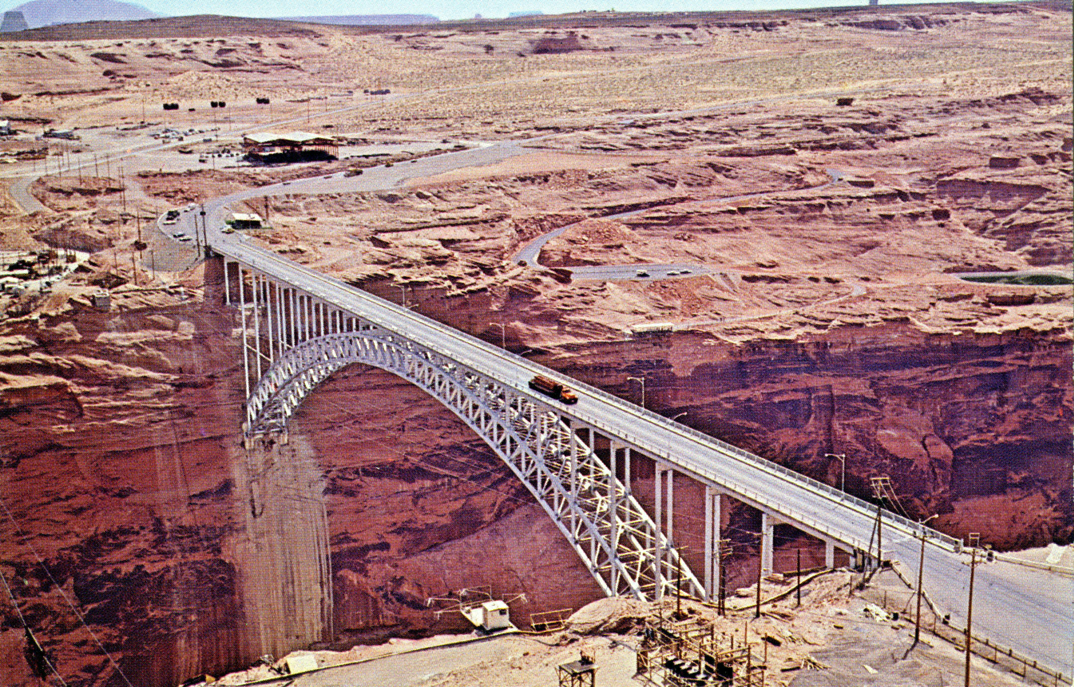
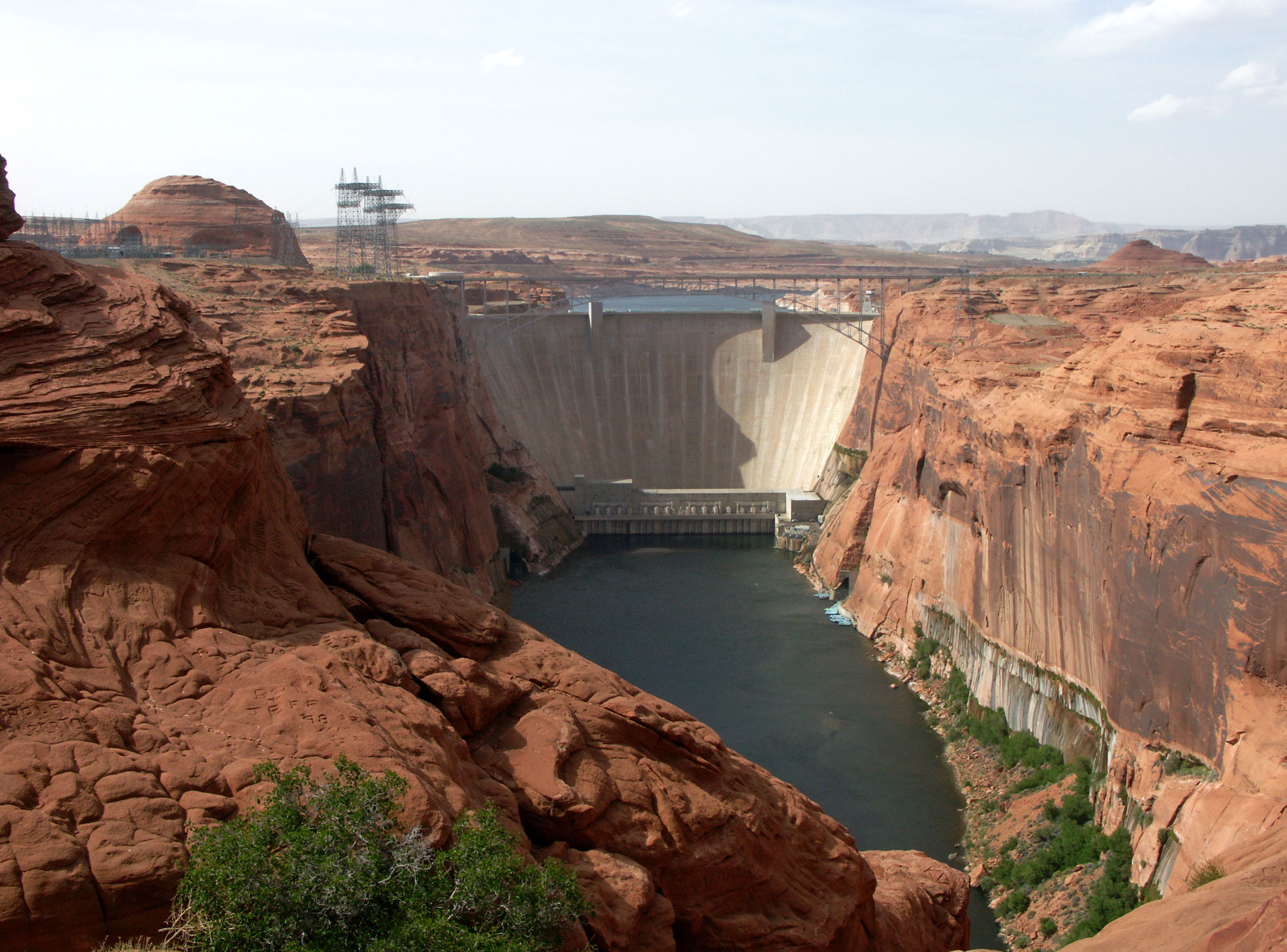
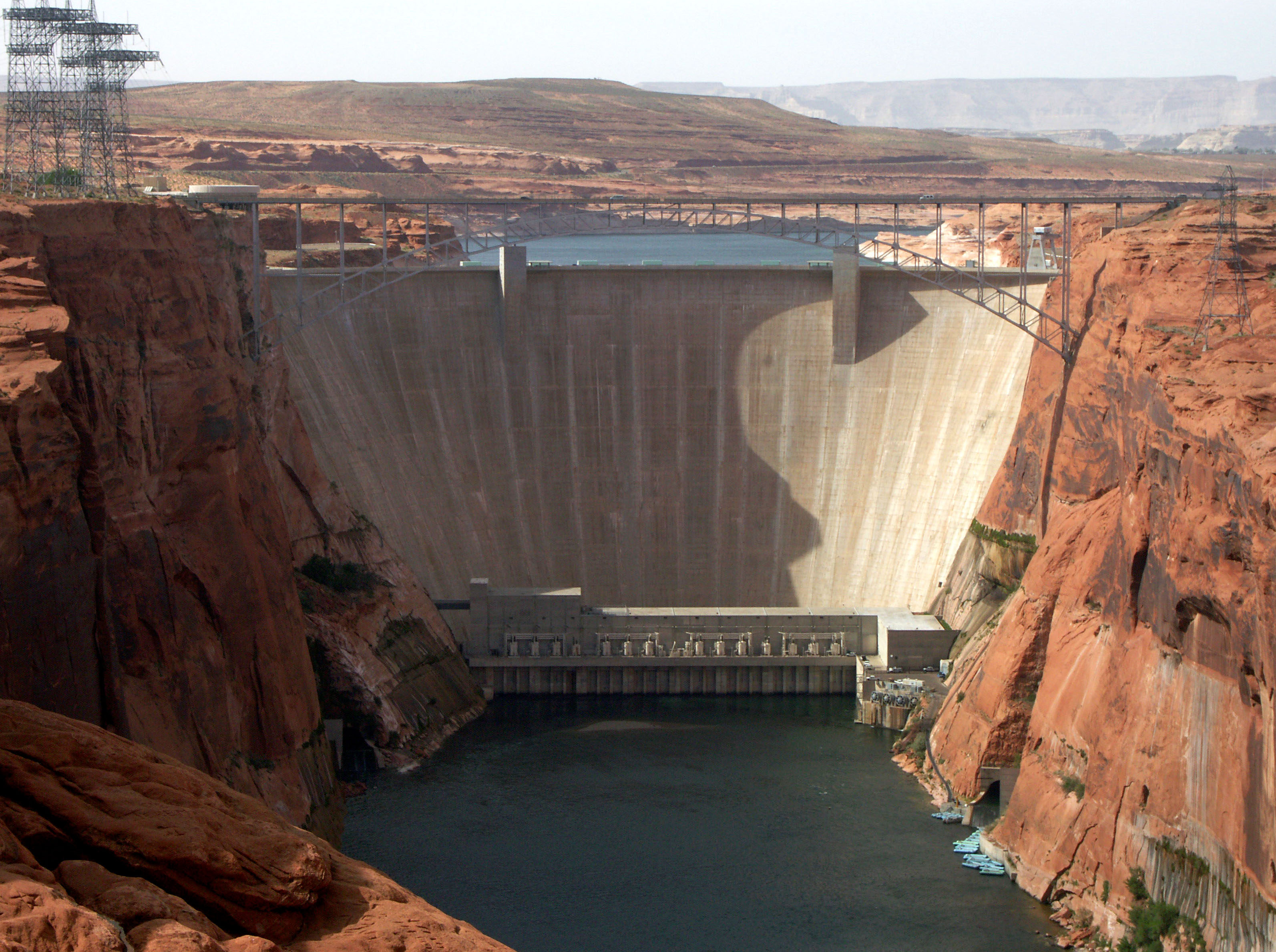
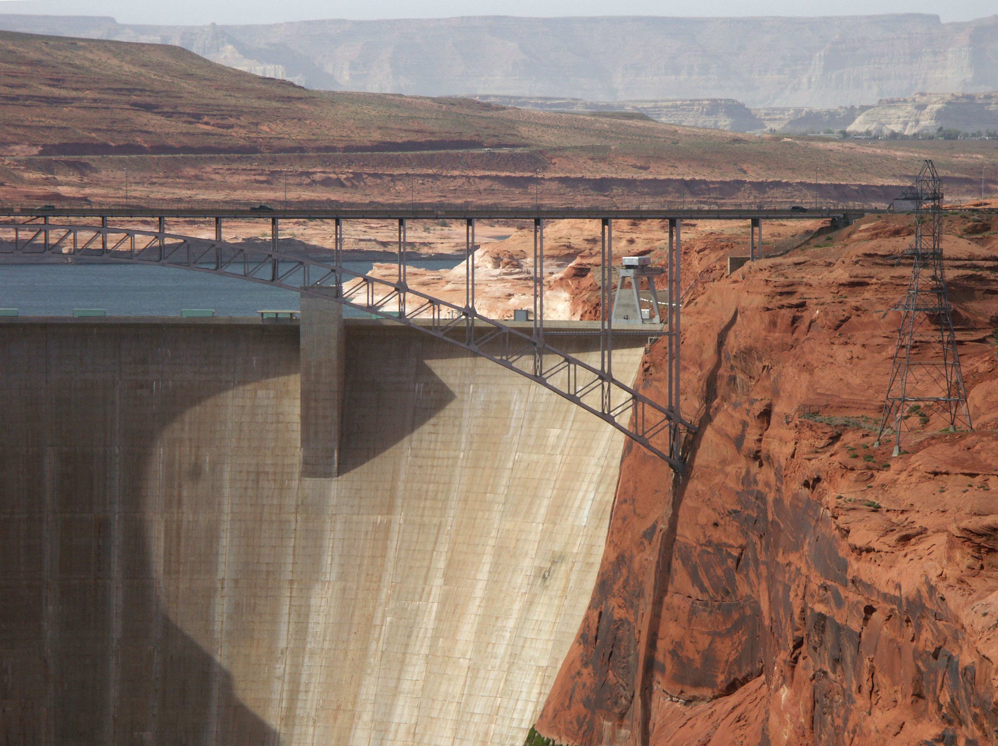
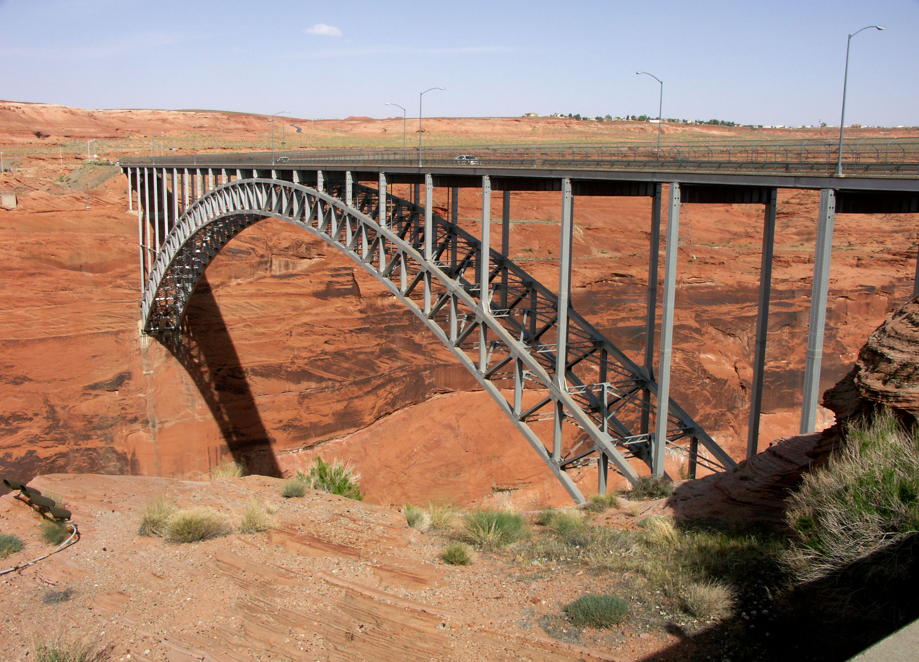
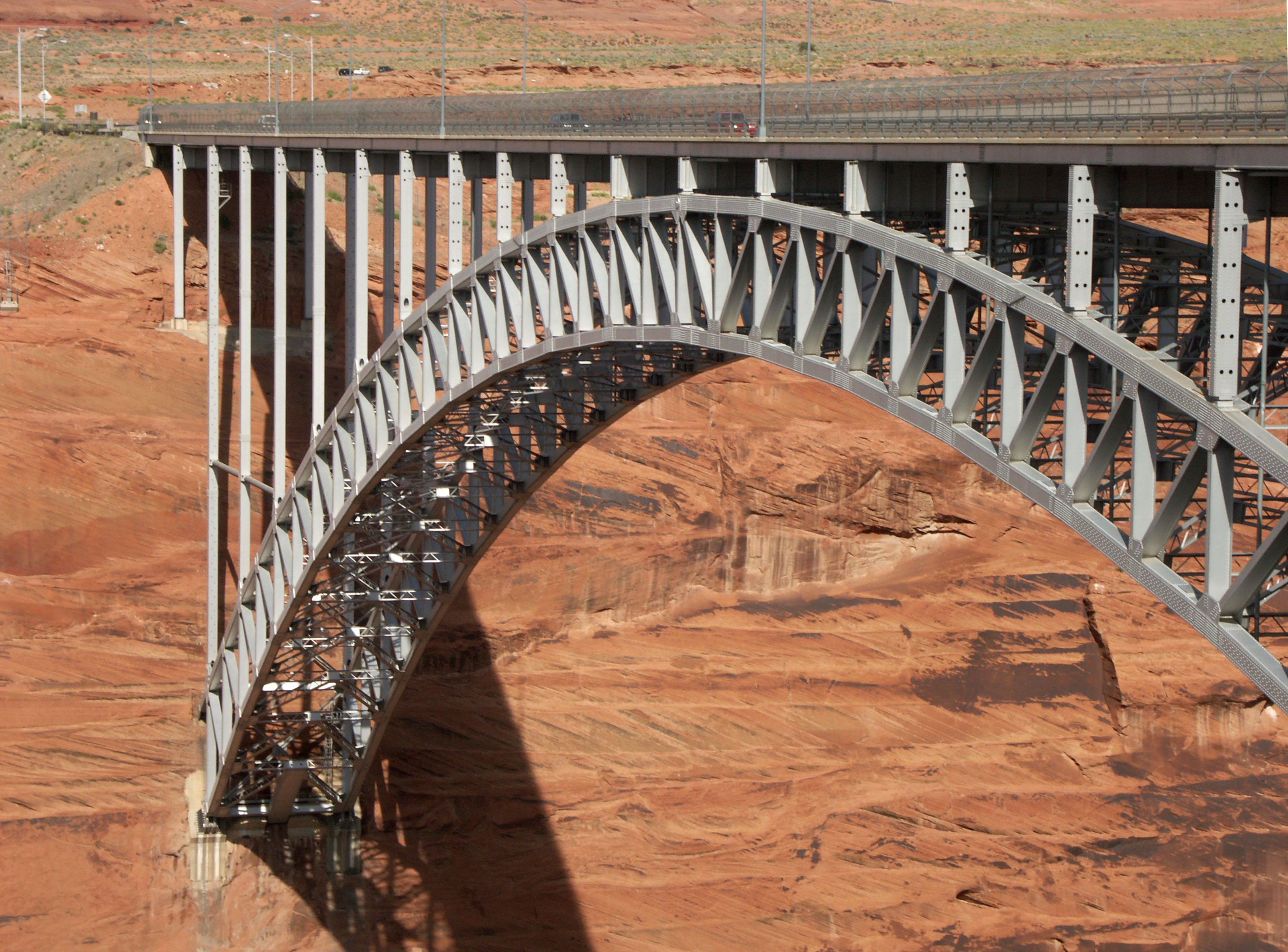
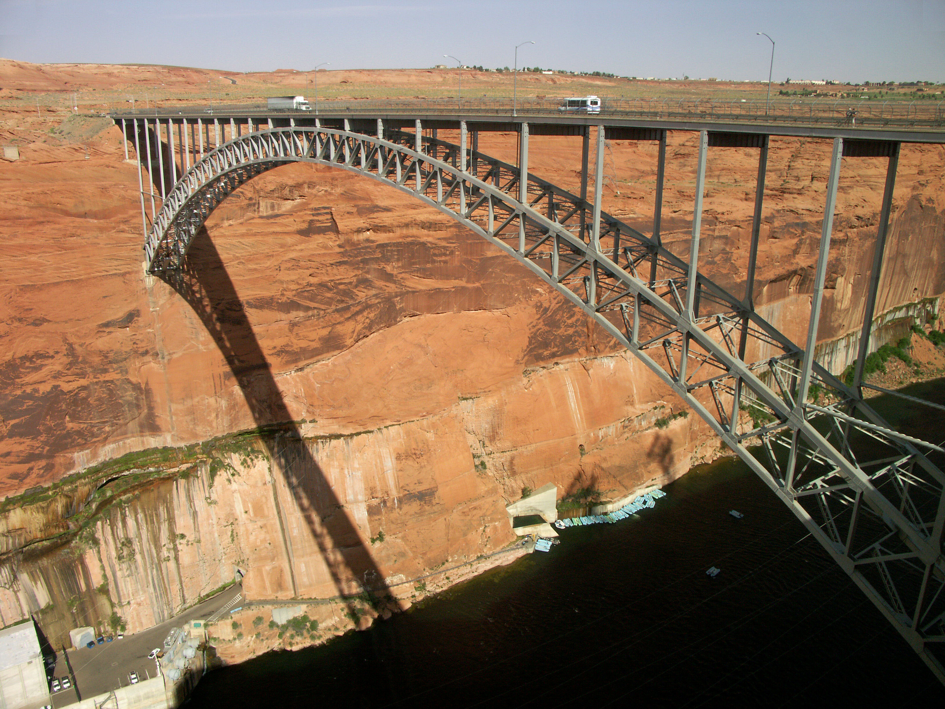
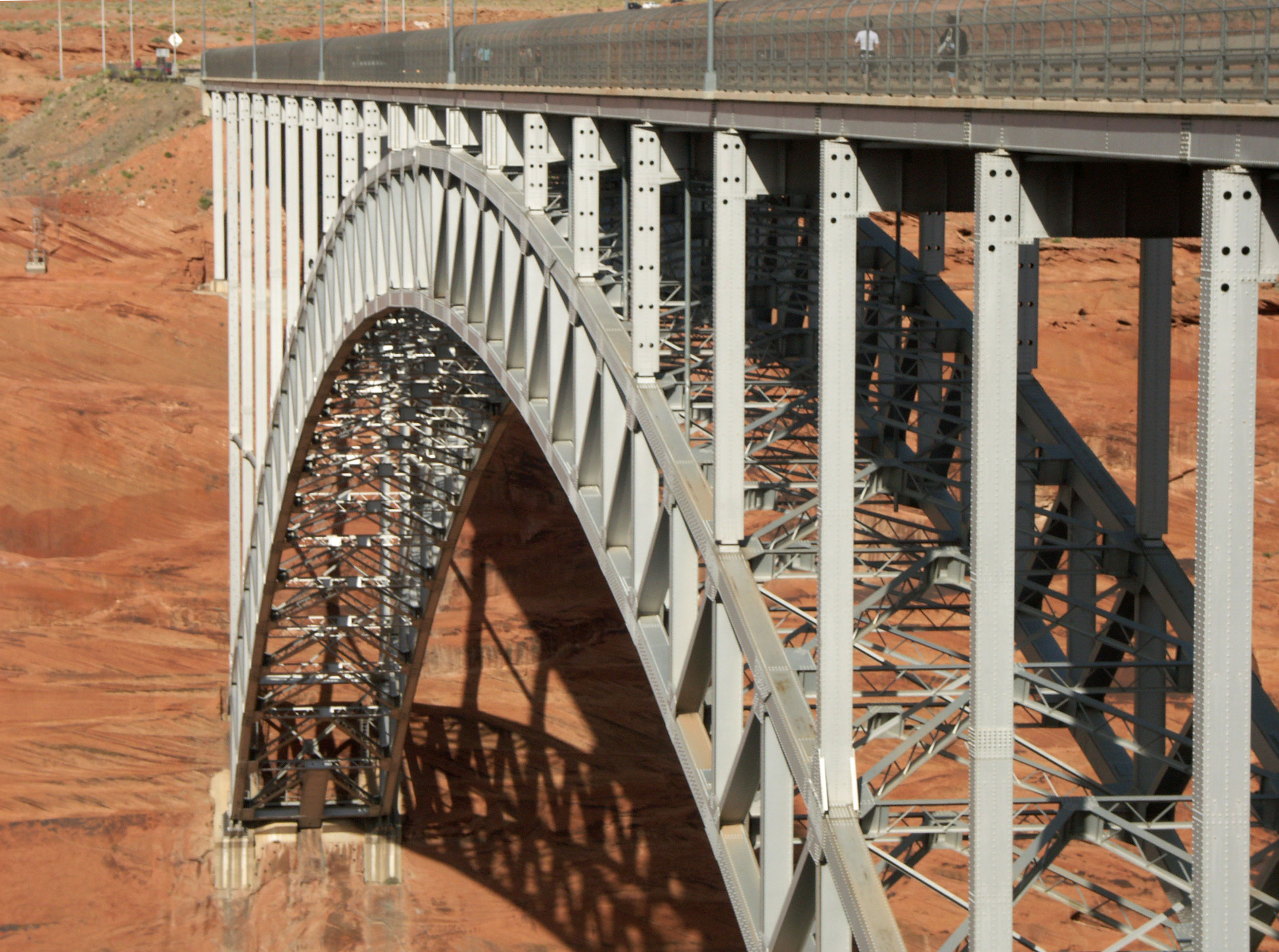
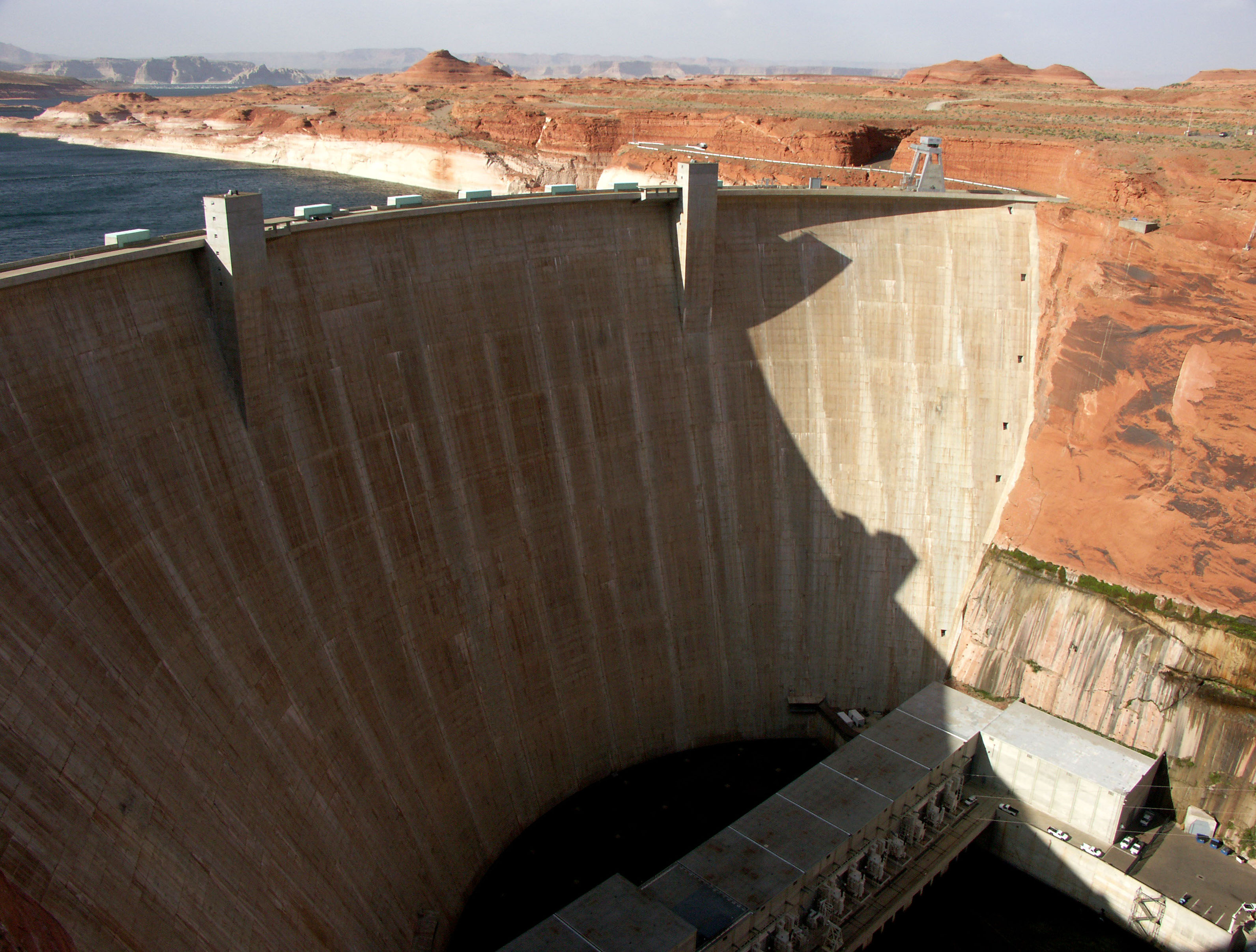
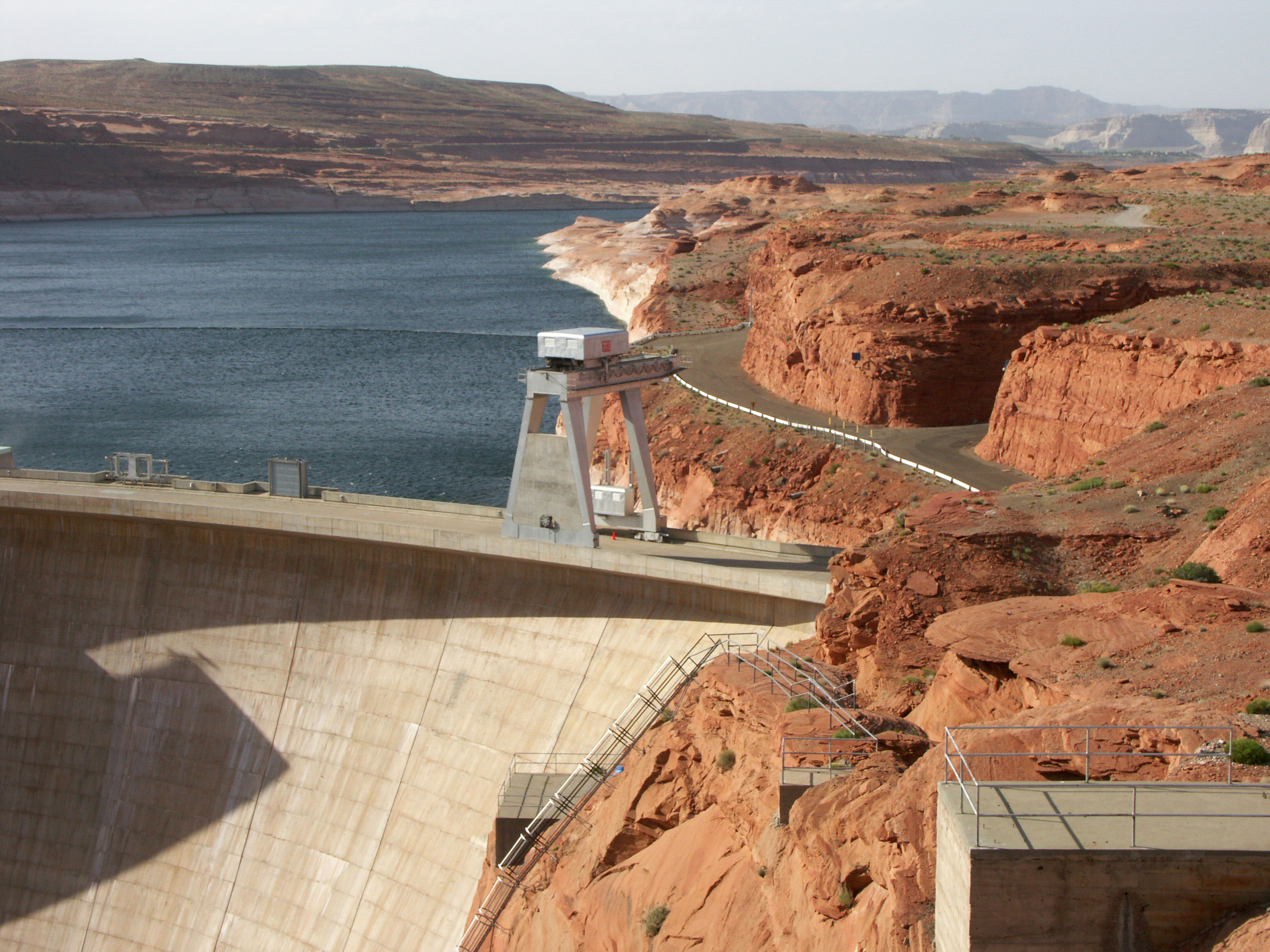
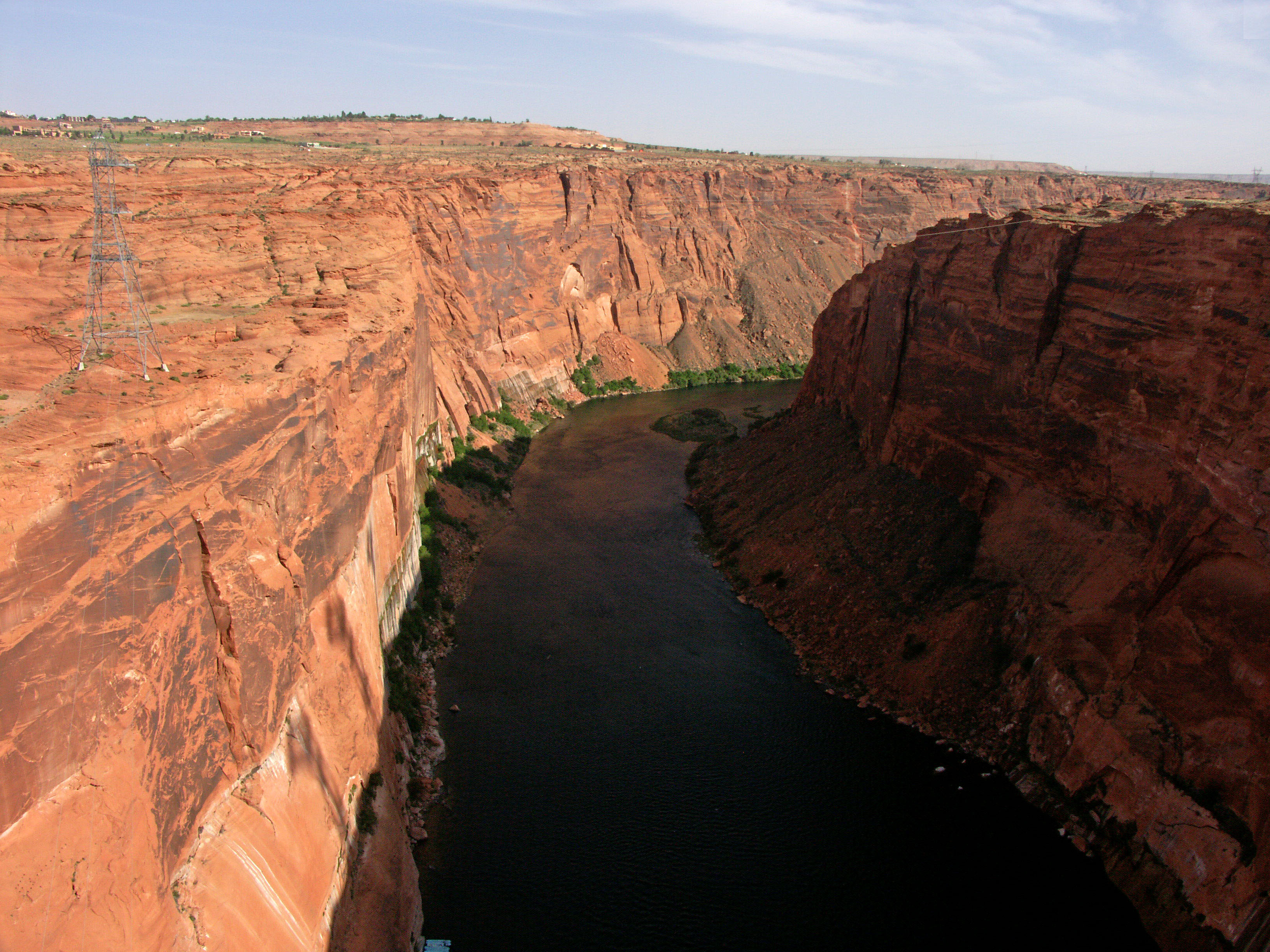
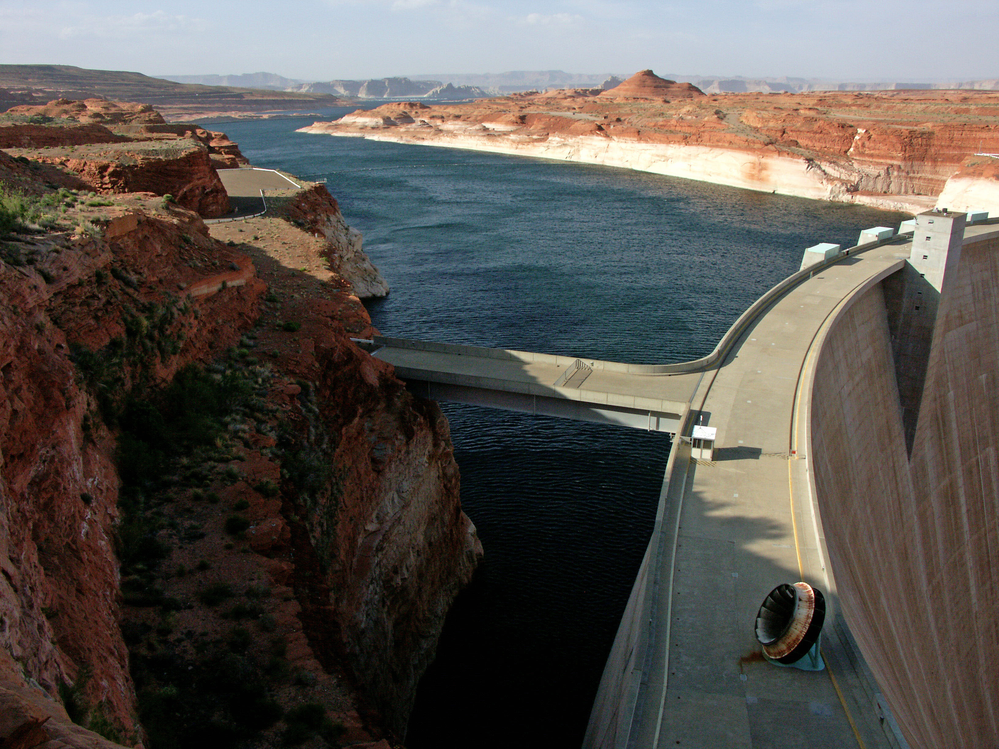
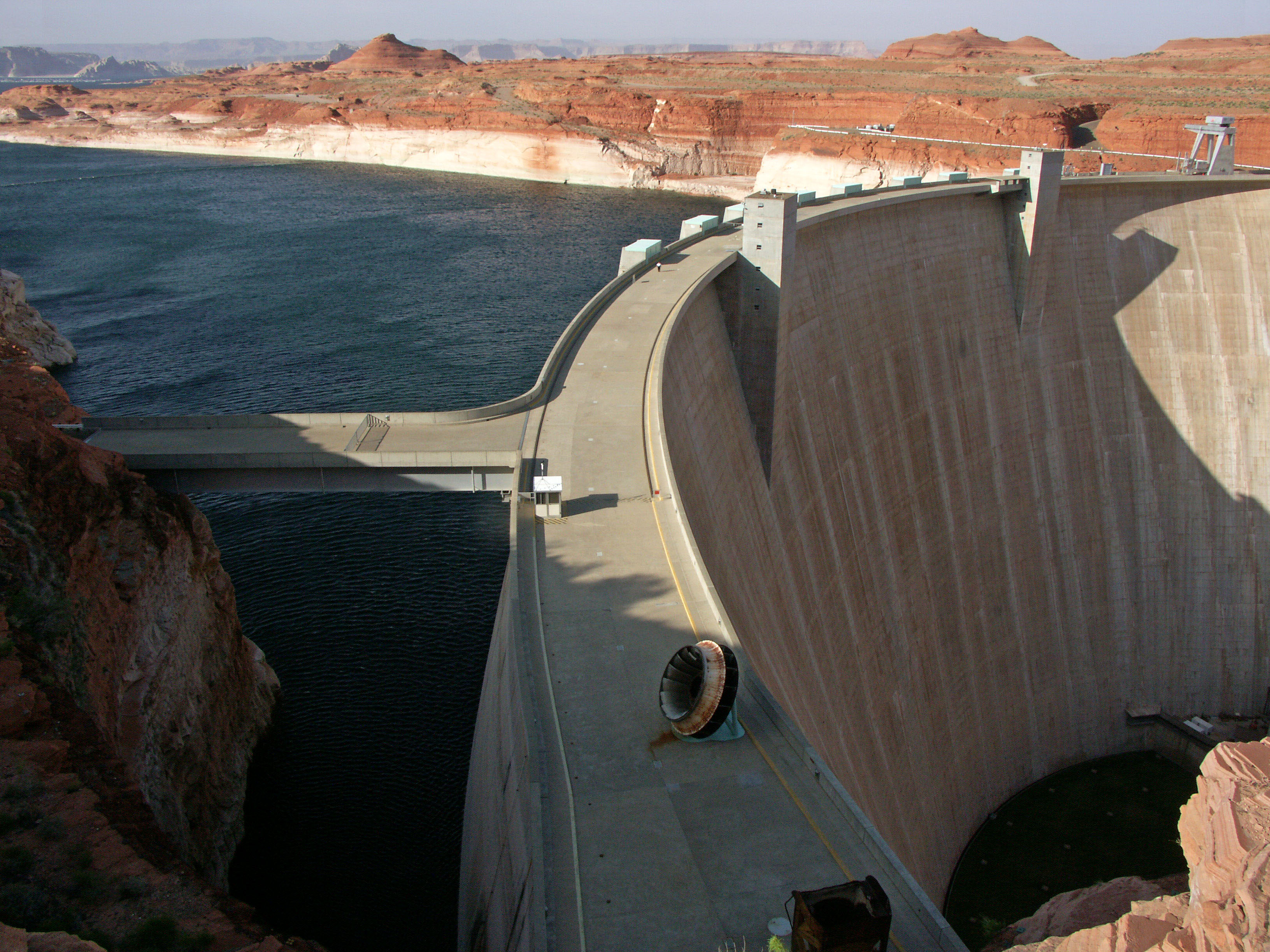
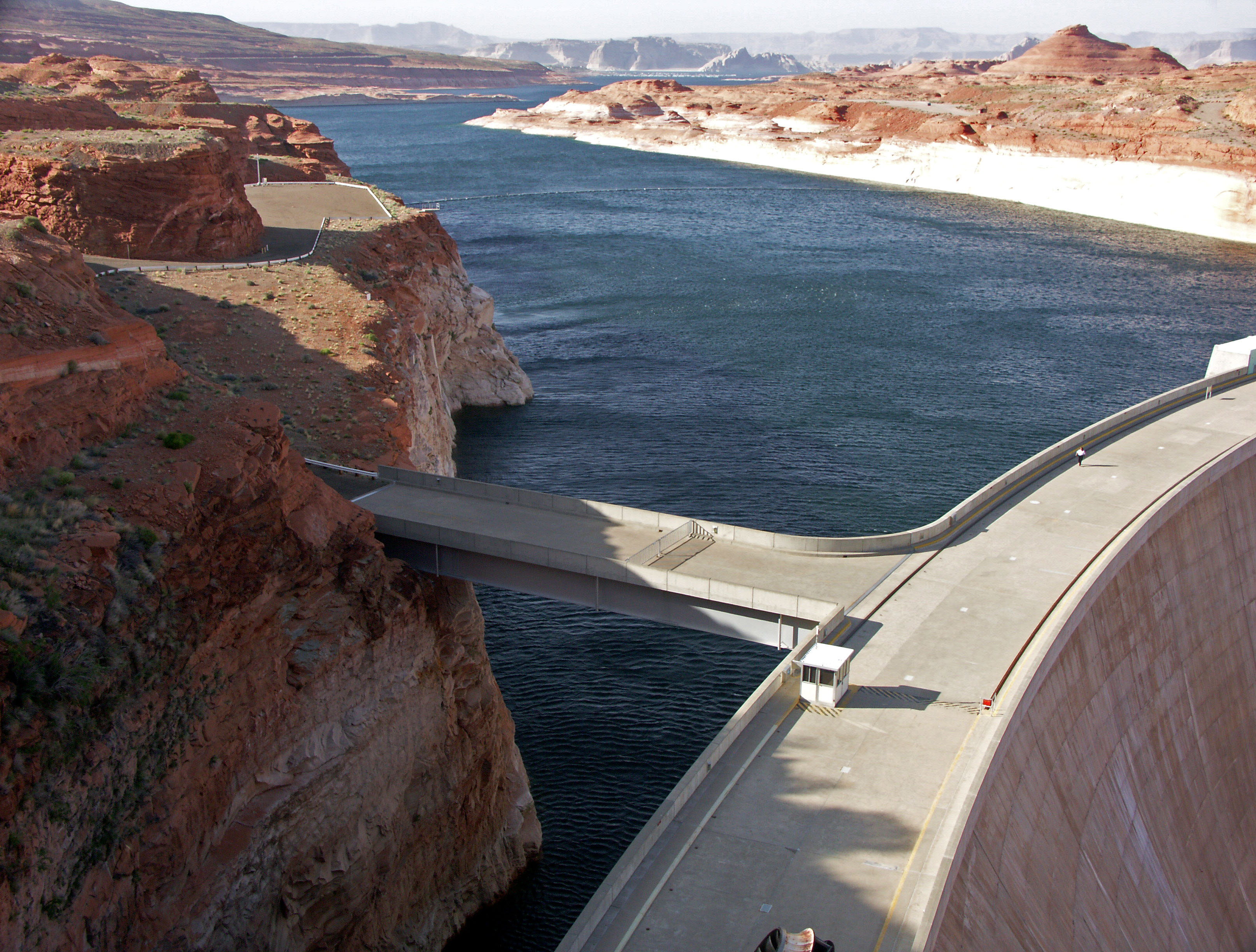
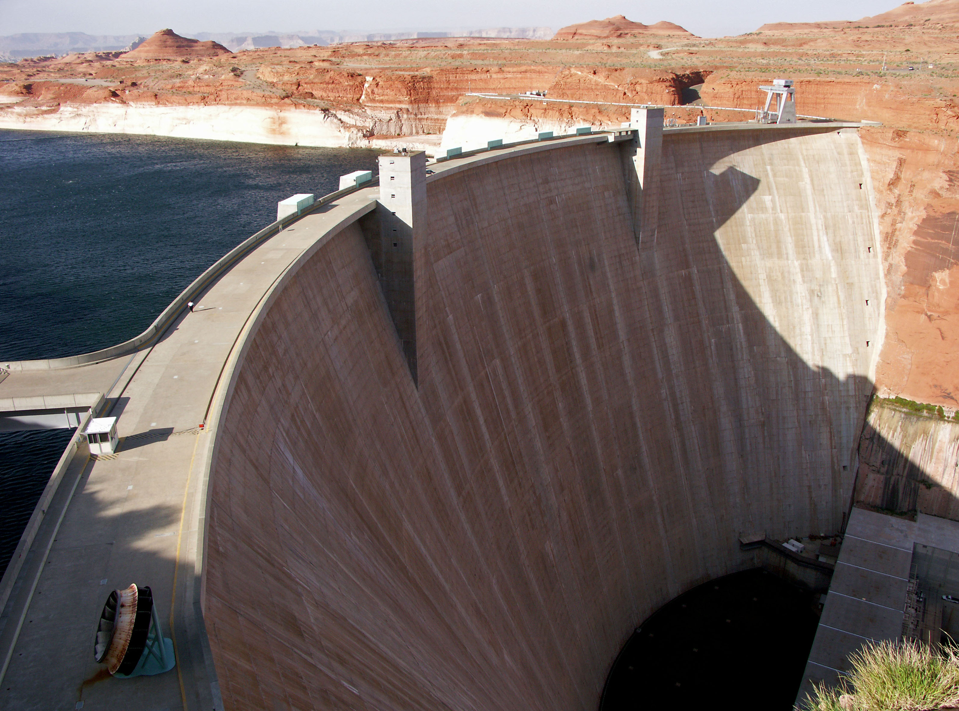
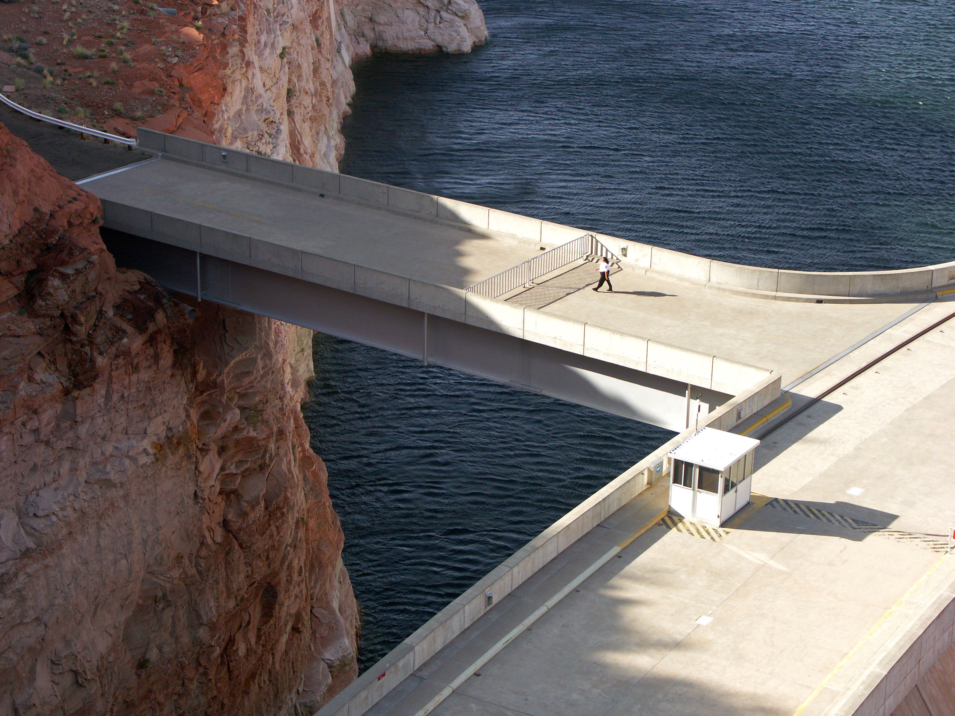
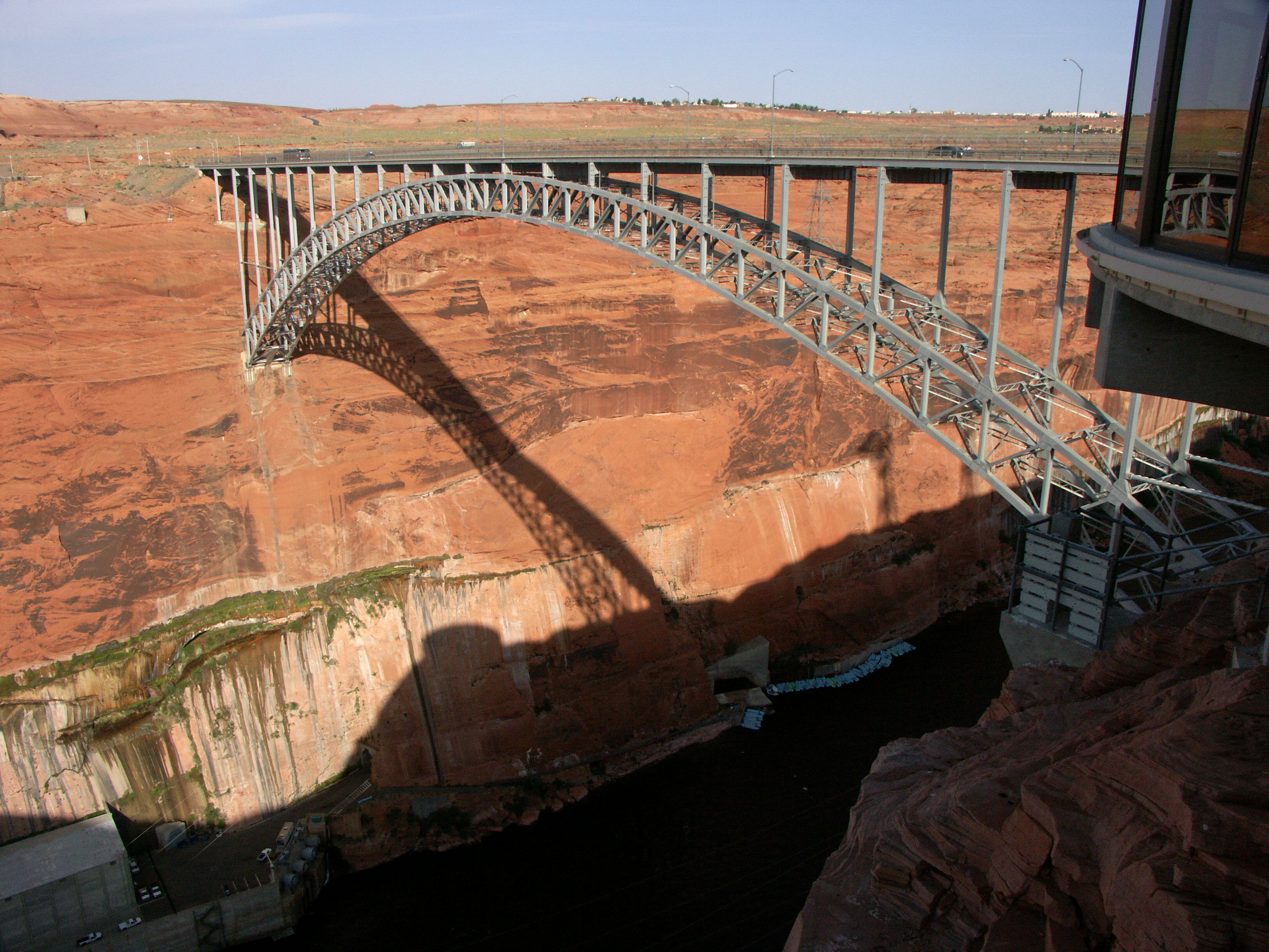
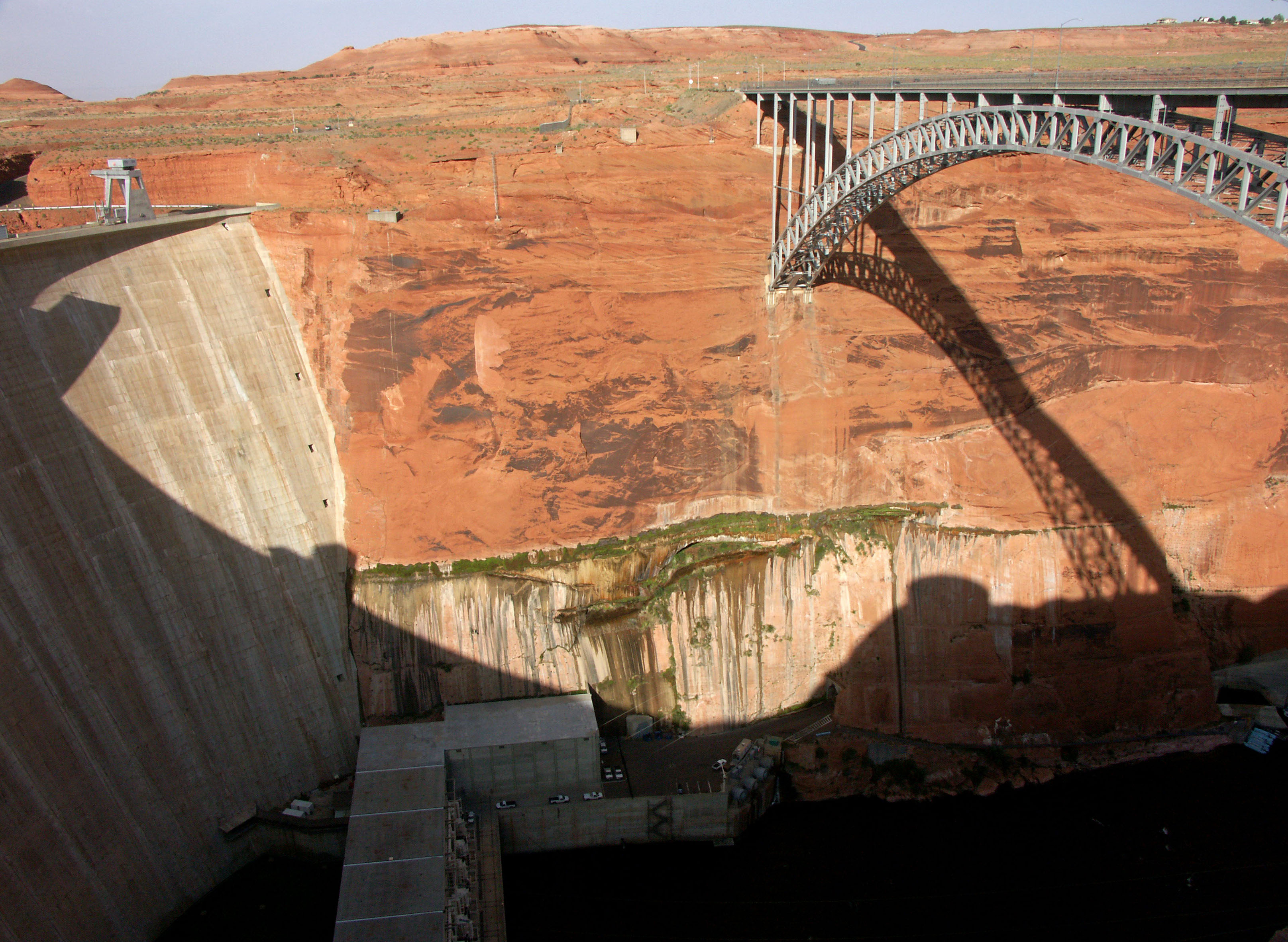
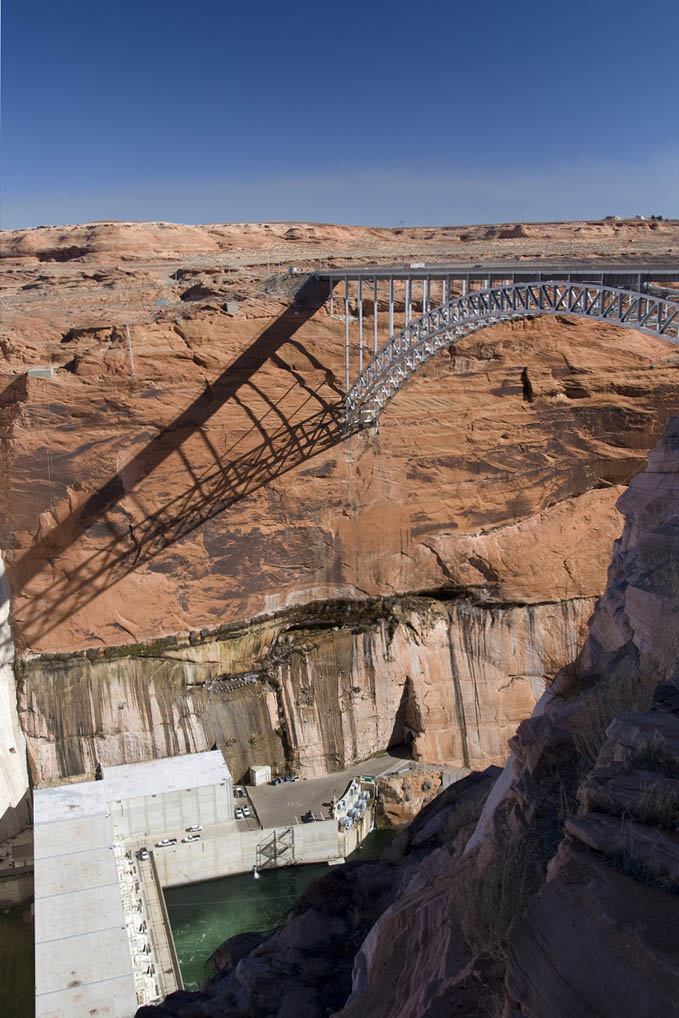
At the time of its completion in 1959, the Glen Canyon Dam bridge was the highest arch bridge in the world and the second highest bridge of any type. 50 years later it seems hard to believe that it no longer ranks even among the top 80 with a height of 700 feet (213 mtrs). Crossing the Colorado River about 12 miles (20 km) east of Grand Canyon National Park, the bridge was a necessary component in the construction of the massive Glen Canyon Dam, a concrete gravity arch structure that is just as large as the much more famous Hoover Dam near Las Vegas. Behind the Glen Canyon dam is Lake Powell, one of the largest reservoirs in the United States with a 1,900 mile (3,057 km) shoreline. Construction of the dam began in 1956 and ended in 1963.
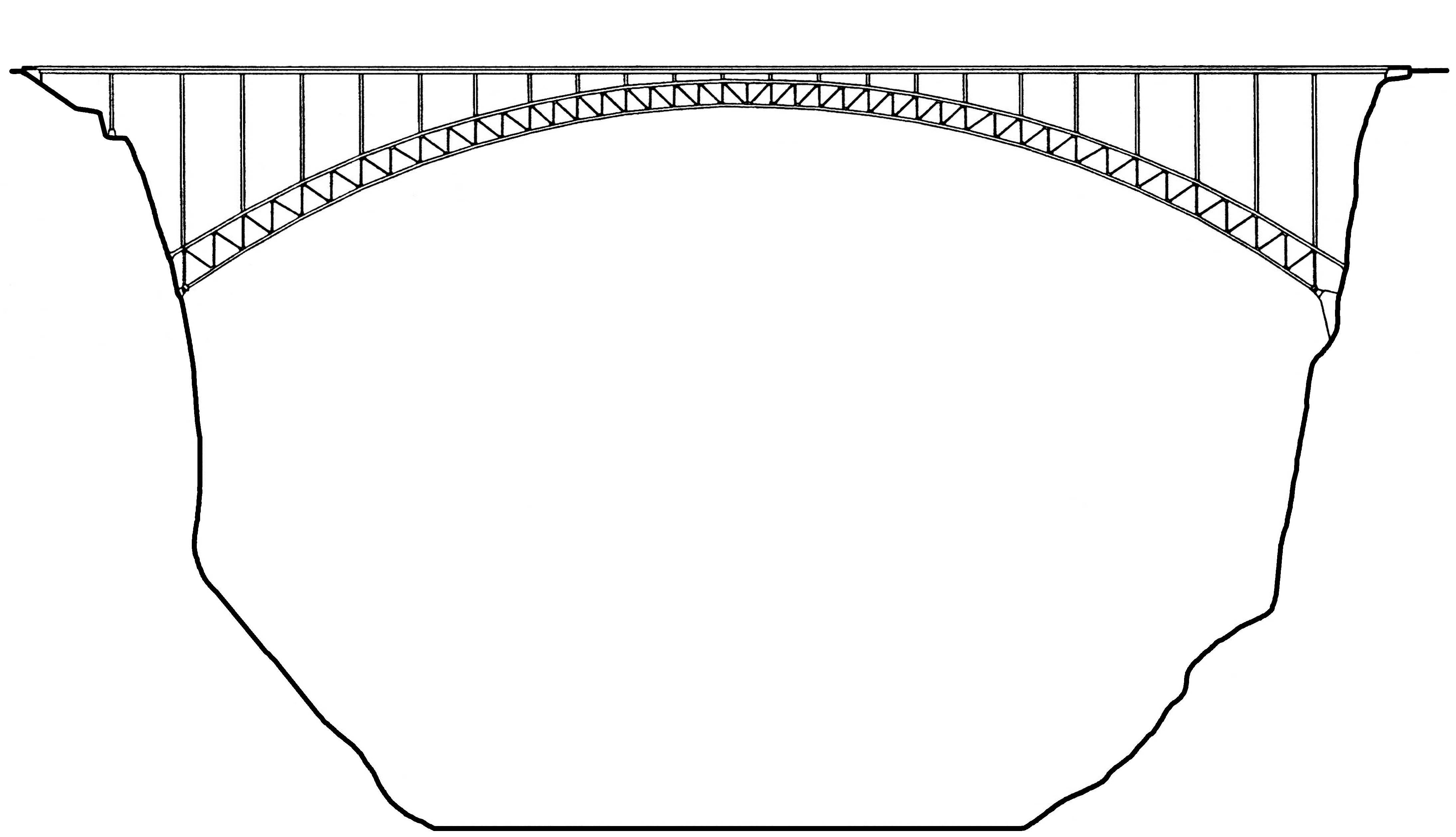
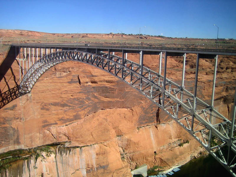
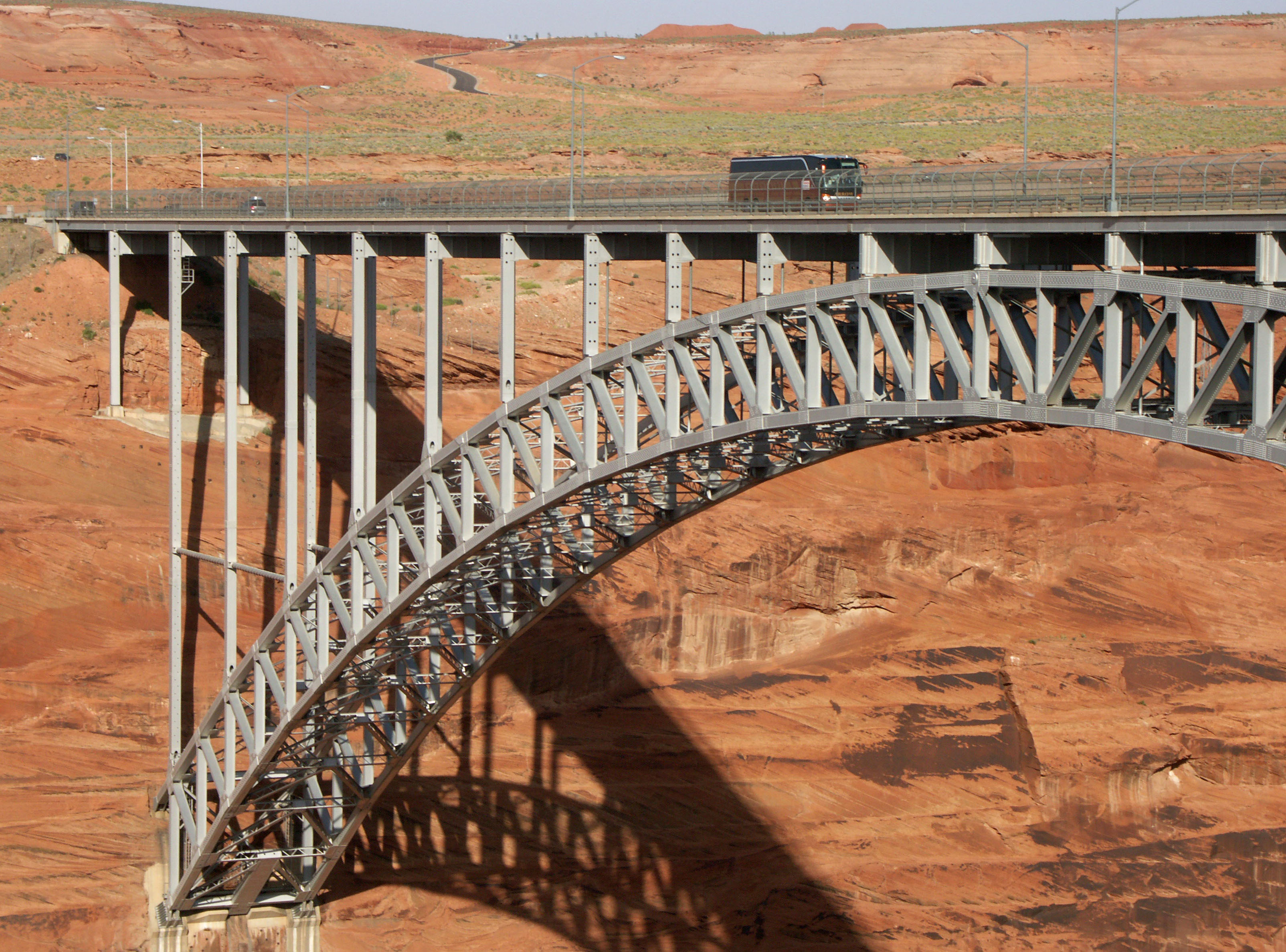
The town of Page, Arizona was built to accommodate the huge influx of workers that were needed to build and maintain the dam. With Page located on the south side of the river, the crossing made it easy to transport men and materials to the more remote north side. Among arch bridges, Glen Canyon is the 10th highest in the world and the 3rd highest in North America after the Mike O’Callaghan-Pat Tillman Memorial / Hoover Dam Bypass bridge and the New River Gorge bridge. With a span of 1,028 feet (313 mtrs), it is also one of North America’s longer steel arches.
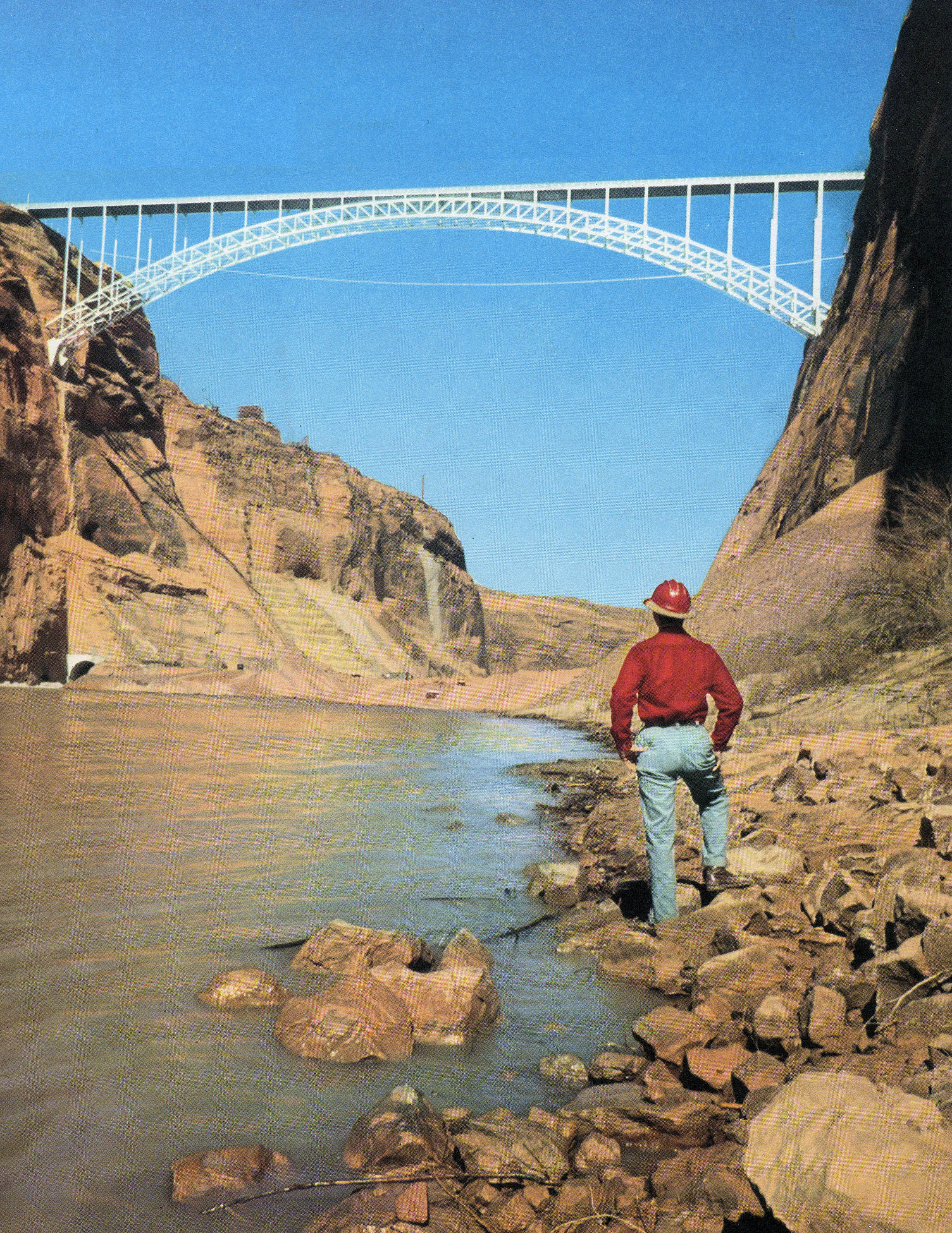
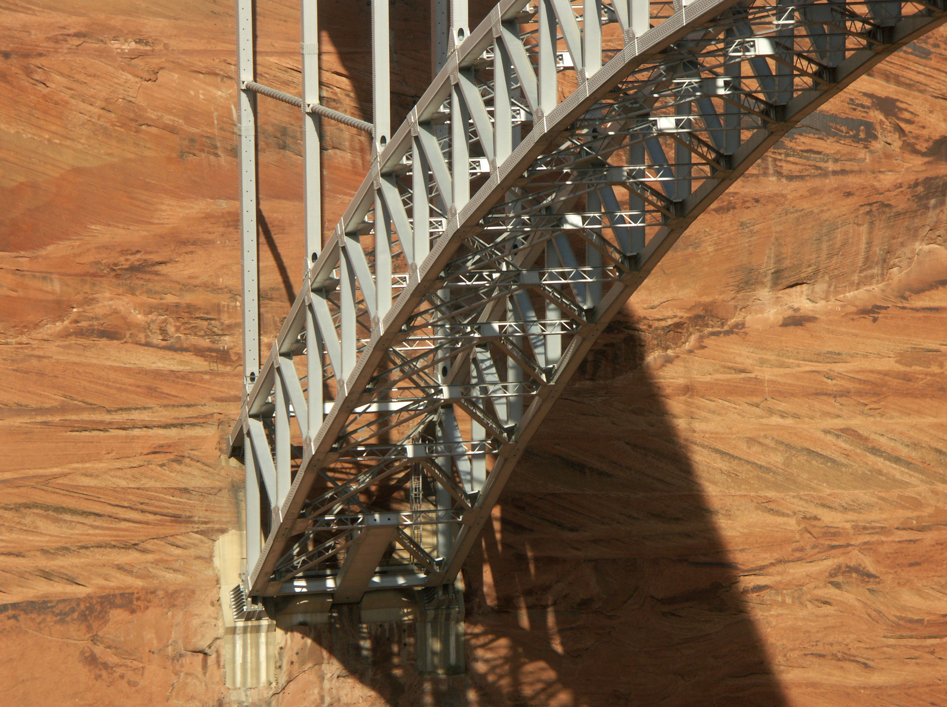
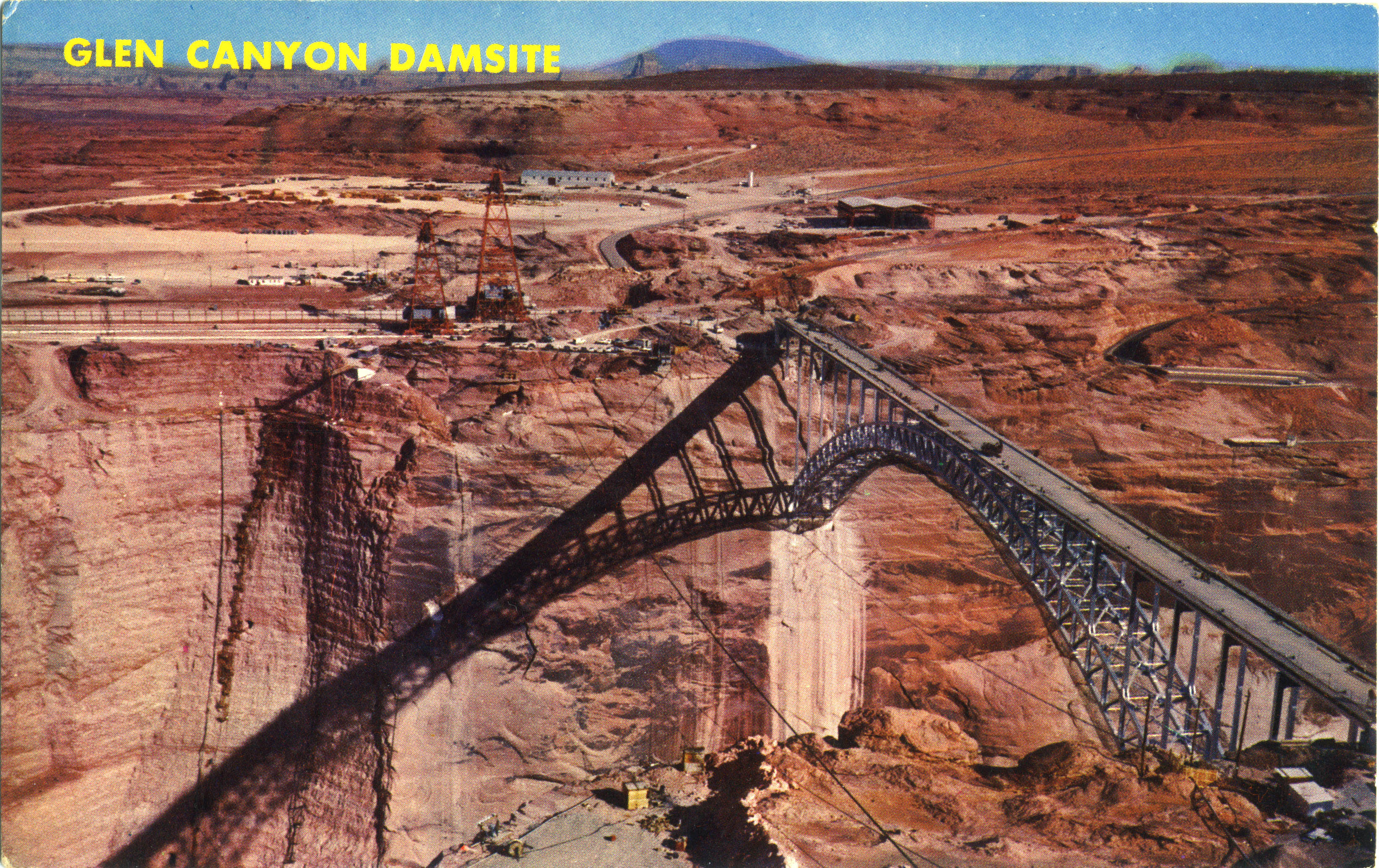
To construct the bridge, two cableway towers were built on either side of the canyon rim 1,540 feet (470 mtrs) apart. Sections of the bridge were lowered into place and then held back by steel tieback cables until the two sides of the arch could finally rest on each other high over the Colorado river. The bridge was dedicated on February 20, 1959 and was the last link on a new segment of highway 89. The total cost was just 5 million dollars.
During the dam’s 8 year construction period, a less known but equally spectacular suspension footbridge was built upstream of the construction site for workers to cross. With a span of 1,280 feet (390 meters) and a height of 640 feet (195 mtrs), it was the largest and highest traditional, tower supported suspension footbridge. In 2006, the Kokonoe “Yume” Otsurihashi footbridge opened in Japan’s Oita Prefecture with a span of 1,280 feet (390 meters). A more accurate conversion puts the Japanese bridge at 1,279.5276 feet - about 6 inches short of the defunct Arizona bridge!
Just recently discovered in China is a suspension footbridge constructed behind the Wanjiazhai Dam over the Yellow River with a span of 1,640 feet (500) meters between towers or 1,532 feet (467 mtrs) as measured along the deck. This would make it the world's longest pedestrian suspension bridge. The bridge was originally built in 1994 for workers to get across the Yellow River gorge during the construction of the Wanjiazhai hydroelectric dam. Originally scheduled for removal in 2000 once the dam was completed, the dam personnel decided to keep it and so the span was rehabilitated and strengthened for long term use. The huge span is open to the public for a nominal fee.
Another interesting “arch” in the region is the Rainbow bridge, one of the 10 largest natural bridges on earth. Reachable by boat on Lake Powell or via a long hike with a permit, the massive sandstone structure is 290 feet (88 meters) high with a span of 234 feet (71 meters). There are several natural arches that are higher and several that are longer but few have the perfect mixture of both that make Rainbow one of the most photogenic of all. For those who want to know a lot more about the world’s greatest and highest natural bridges, be sure to check out the Natural Arch and Bridge Society’s web site at http://www.naturalarches.org/index.html.
You can read more about the history and development of the Lake Powell region at http://www.lake-powell-country.com.
An aerial construction view showing the massive dam thrust blocks that have been carved out of the left and right side walls of the Colorado River canyon. Image by Arizona Highways magazine.
Image by Arizona Highways magazine.
Image by Felicia Vereen.
Glen Canyon Dam Bridge postcard.
Image by Jim Lindley.
Glen Canyon Dam Bridge postcard.
Image by Eric Sakowski / HighestBridges.com
Image by Eric Sakowski / HighestBridges.com
Image by Eric Sakowski / HighestBridges.com
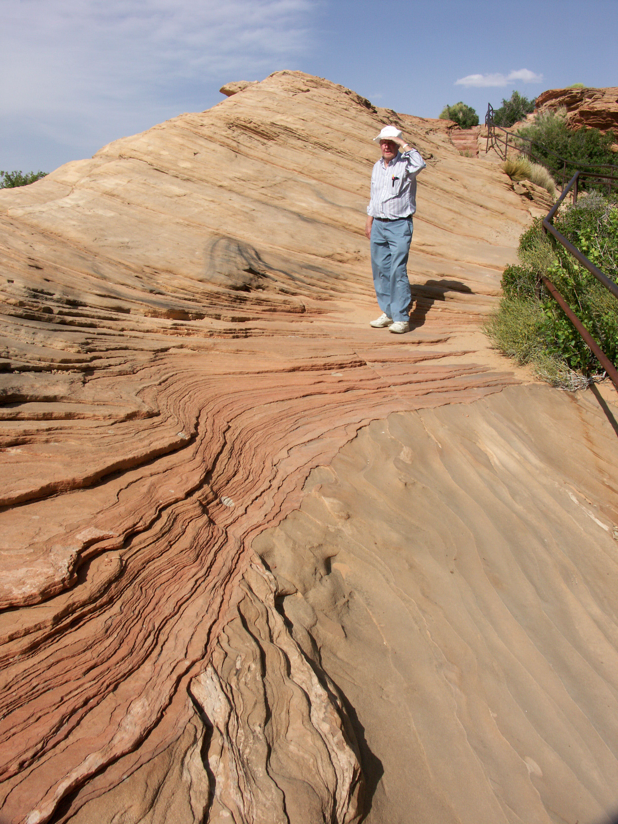
The sandstone patterns were left in their natural state along the path to the bridge overlook. Image by Eric Sakowski / HighestBridges.com
Image by Eric Sakowski / HighestBridges.com
Image by Eric Sakowski / HighestBridges.com
Image by Eric Sakowski / HighestBridges.com
Image by Eric Sakowski / HighestBridges.com
Image by Eric Sakowski / HighestBridges.com
Image by Eric Sakowski / HighestBridges.com
Image by Eric Sakowski / HighestBridges.com
Image by Eric Sakowski / HighestBridges.com
Image by Eric Sakowski / HighestBridges.com
Image by Eric Sakowski / HighestBridges.com
Image by Eric Sakowski / HighestBridges.com
Image by Eric Sakowski / HighestBridges.com
Image by Eric Sakowski / HighestBridges.com
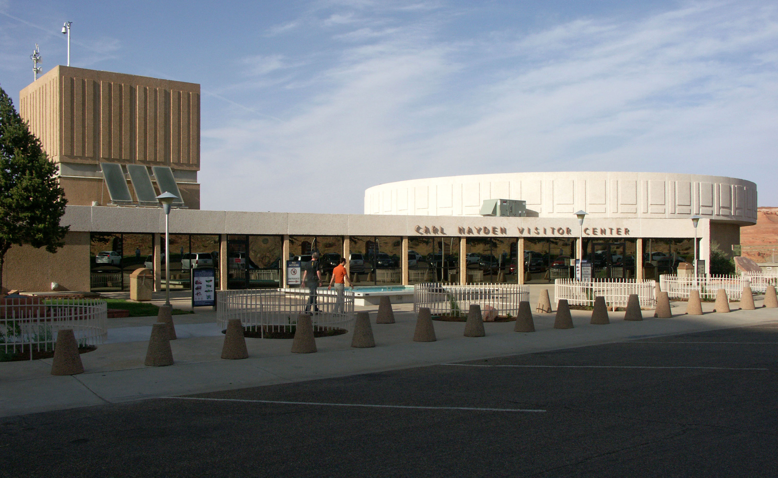
Carl Hayden Visitors Center. Image by Eric Sakowski / HighestBridges.com
Image by Eric Sakowski / HighestBridges.com
Image by Eric Sakowski / HighestBridges.com
Image by Eric Sakowski / HighestBridges.com
Image by Eric Sakowski / HighestBridges.com
Image by Eric Sakowski / HighestBridges.com
Image by Eric Sakowski / HighestBridges.com
Image by Eric Sakowski / HighestBridges.com
Image by Eric Sakowski / HighestBridges.com
Glen Canyon Dam Bridge postcard view showing the canyon wall prepared for the construction of the dam.
Image by Eric Nils.
Highest Colorado River Arch Bridges
Navajo, Mike O'Callaghan-Pat Tillman and Glen Canyon Dam Bridge size comparison
Navajo is 470 feet (143 meters) high. Mike O'Callaghan-Pat Tillman is 890 feet (271 mtrs) high. Glen Canyon Dam is 700 feet (213 mtrs) high.
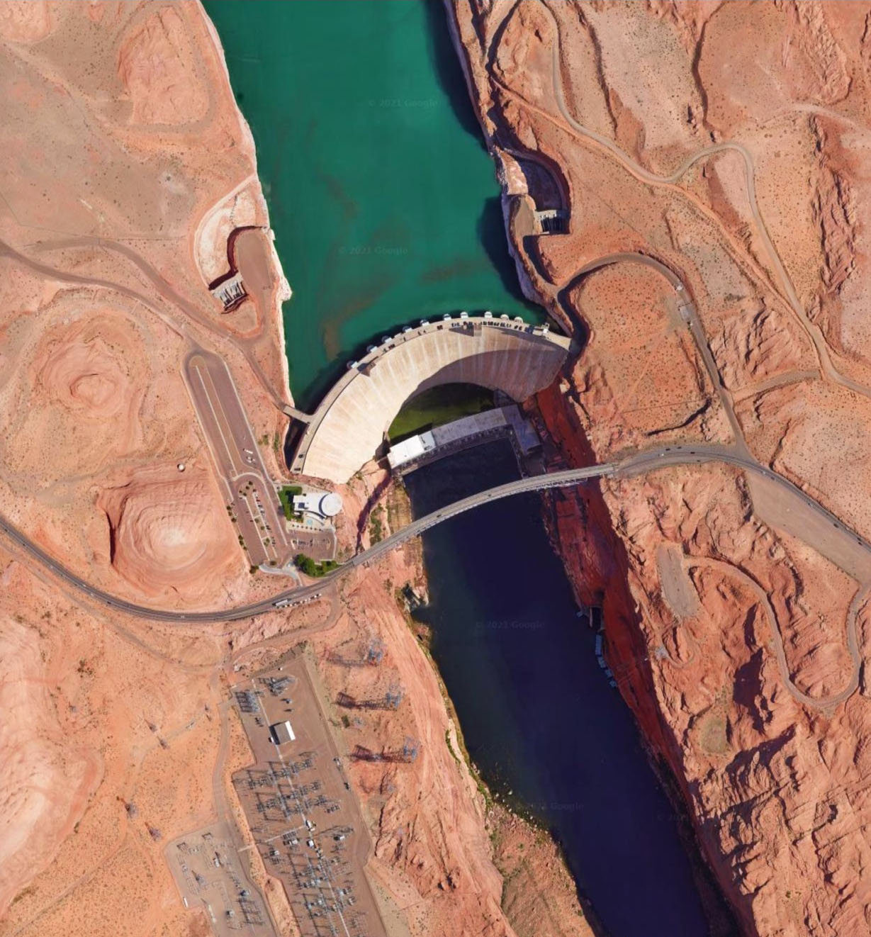
Glen Canyon Dam Bridge satellite image.
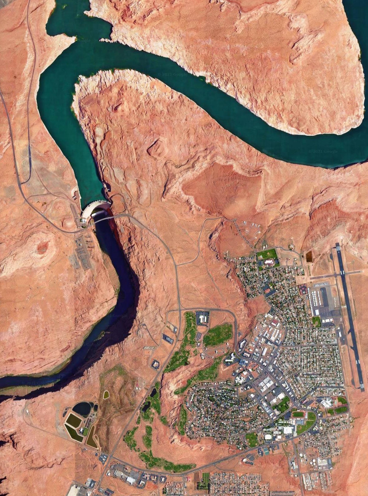
Glen Canyon Dam Bridge location map.
